

The best hiking routes in Parc naturel des Plaines de l’Escaut
Discover the best walks in Parc naturel des Plaines de l’Escaut. 4 routes on the map, with descriptions, photos and GPX.
About Parc naturel des Plaines de l’Escaut
Parc naturel des Plaines de l’Escaut occupies a low-lying clay and alluvial basin along the Belgian-French border, shaped by the Scheldt river and its tributaries. Unlike the dry, sandy pine forests of northern Belgium, this landscape is defined by its high water table, drainage canals, and marshy depressions. Walkers will navigate a patchwork of damp deciduous woodlands, wet meadows, and active willow plantations, where the ground underfoot transitions from soft clay tracks to wooden boardwalks designed to cross the wettest sections.
Read more
About Parc naturel des Plaines de l’Escaut
Parc naturel des Plaines de l’Escaut occupies a low-lying clay and alluvial basin along the Belgian-French border, shaped by the Scheldt river and its tributaries. Unlike the dry, sandy pine forests of northern Belgium, this landscape is defined by its high water table, drainage canals, and marshy depressions. Walkers will navigate a patchwork of damp deciduous woodlands, wet meadows, and active willow plantations, where the ground underfoot transitions from soft clay tracks to wooden boardwalks designed to cross the wettest sections.
Read moreParc naturel des Plaines de l’Escaut occupies a low-lying clay and alluvial basin along the Belgian-French border, shaped by the Scheldt river and its tributaries. Unlike the dry, sandy pine forests of northern Belgium, this landscape is defined by its high water table, drainage canals, and marshy depressions. Walkers will navigate a patchwork of damp deciduous woodlands, wet meadows, and active willow plantations, where the ground underfoot transitions from soft clay tracks to wooden boardwalks designed to cross the wettest sections.
As you walk, the landscape reveals its agricultural and industrial past through rows of pollarded willows and old canal towpaths. The terrain is flat, offering no steep climbs or deep valleys, but instead presenting a dense network of small-scale pastures separated by drainage ditches. In the forested sectors, such as the woods around Bon-Secours, beech and oak trees grow on slightly higher, sandier ridges, providing firmer paths compared to the muddy tracks of the lower marshes.
In late April and May, the forest floors in these sandier zones are covered with wild hyacinths. The open marsh areas are quieter, though the main trailheads near the forest visitor centres can attract more visitors on weekends. Choosing a route here means accepting flat, sometimes damp walking conditions in exchange for observing a working, water-managed landscape.
Hiking routes in Parc naturel des Plaines de l’Escaut (4)
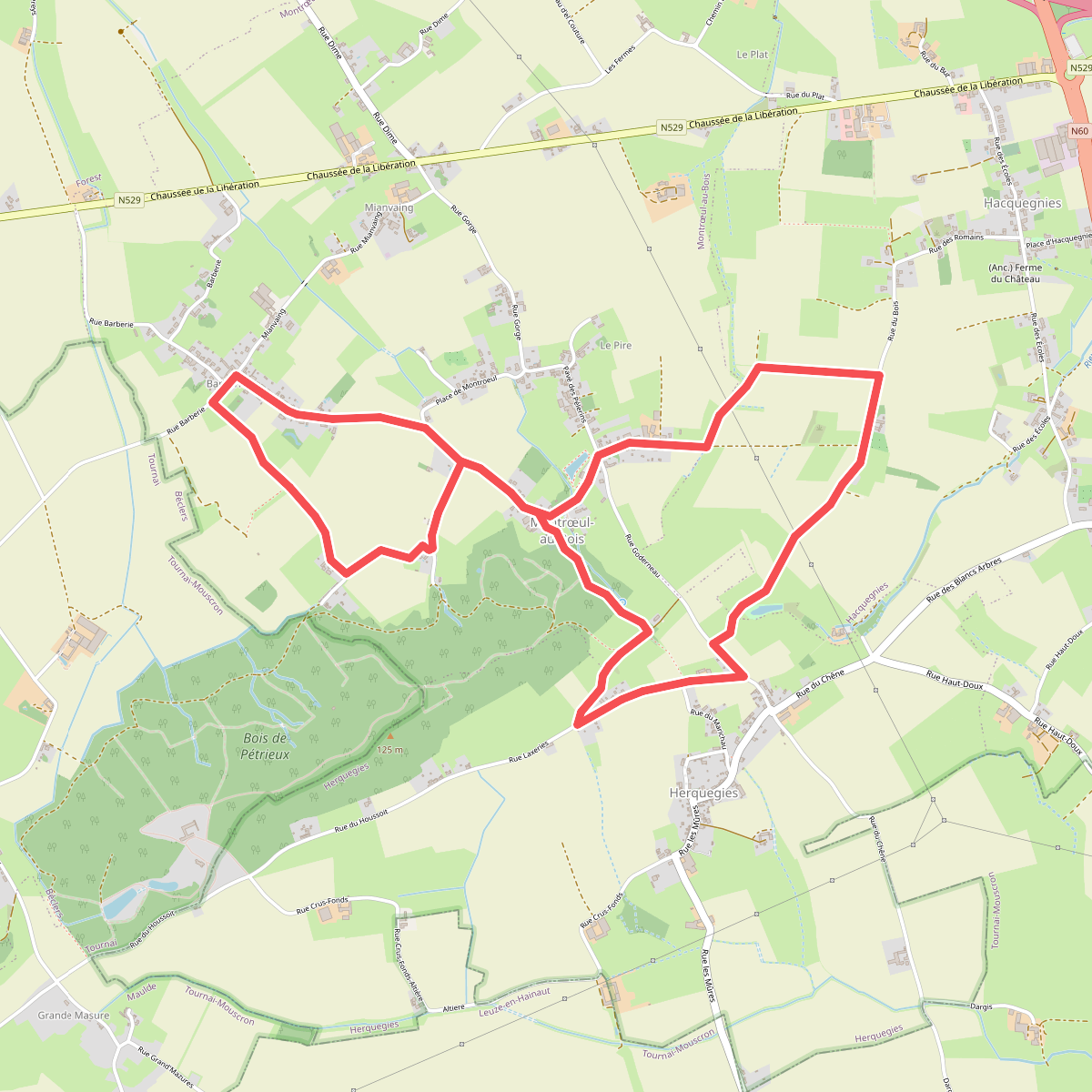
#1. Balade du Trou Robin
Montrœul-au-Bois,Herquegies,Hacquegnies
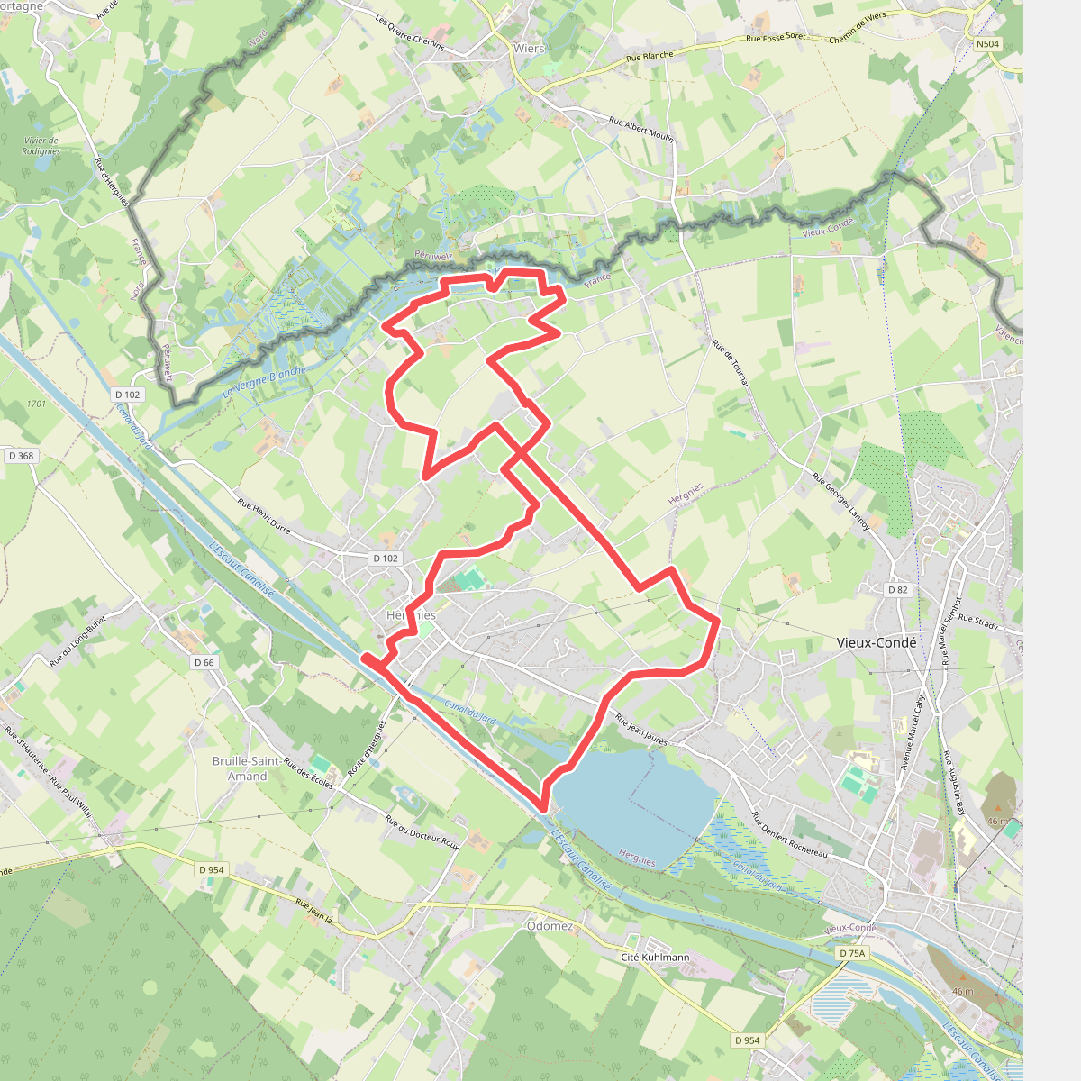
#2. Entre Terres et Eaux
Hergnies,Vieux-Condé
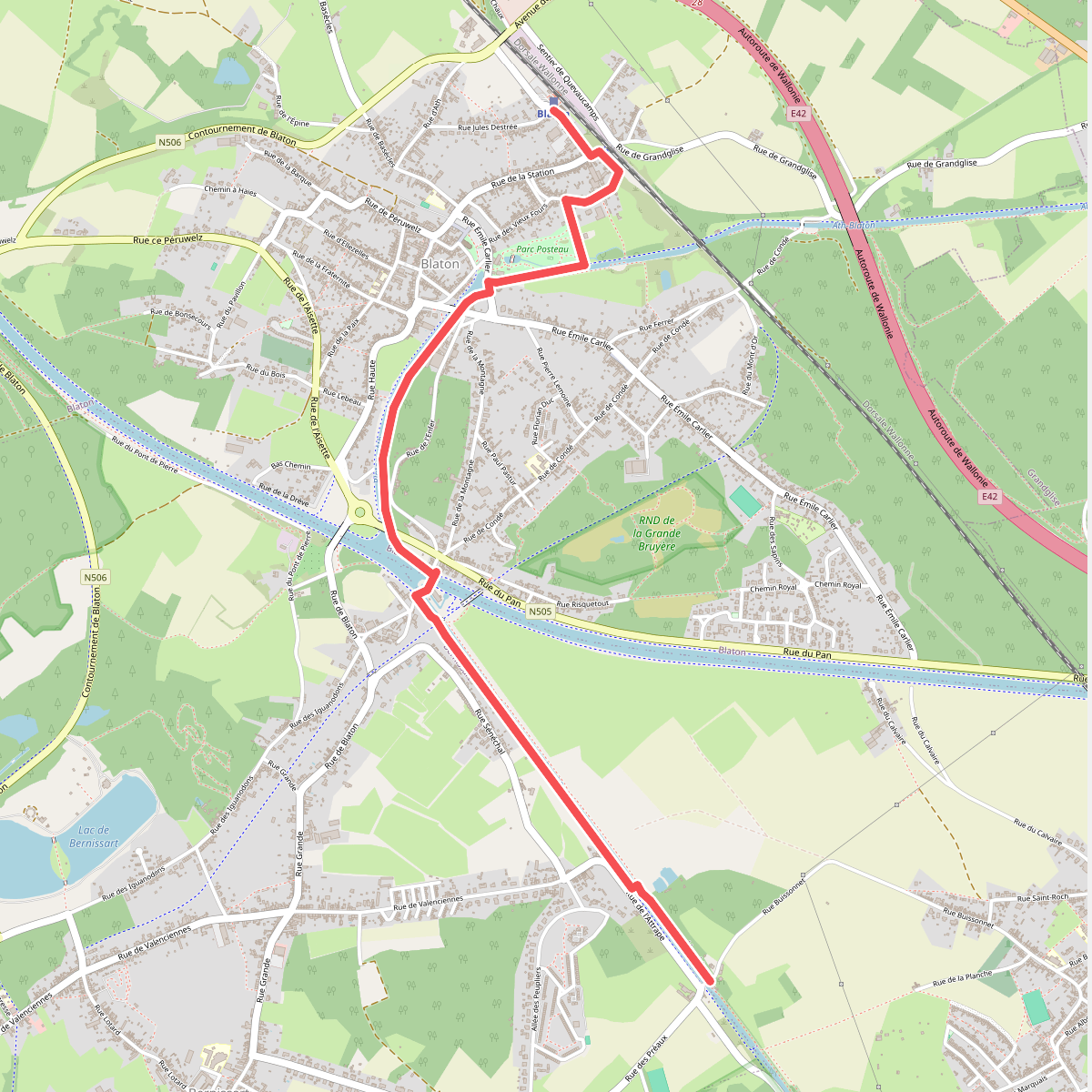
#3. GR 121 verbinding Station Blaton
Harchies,Bernissart,Blaton
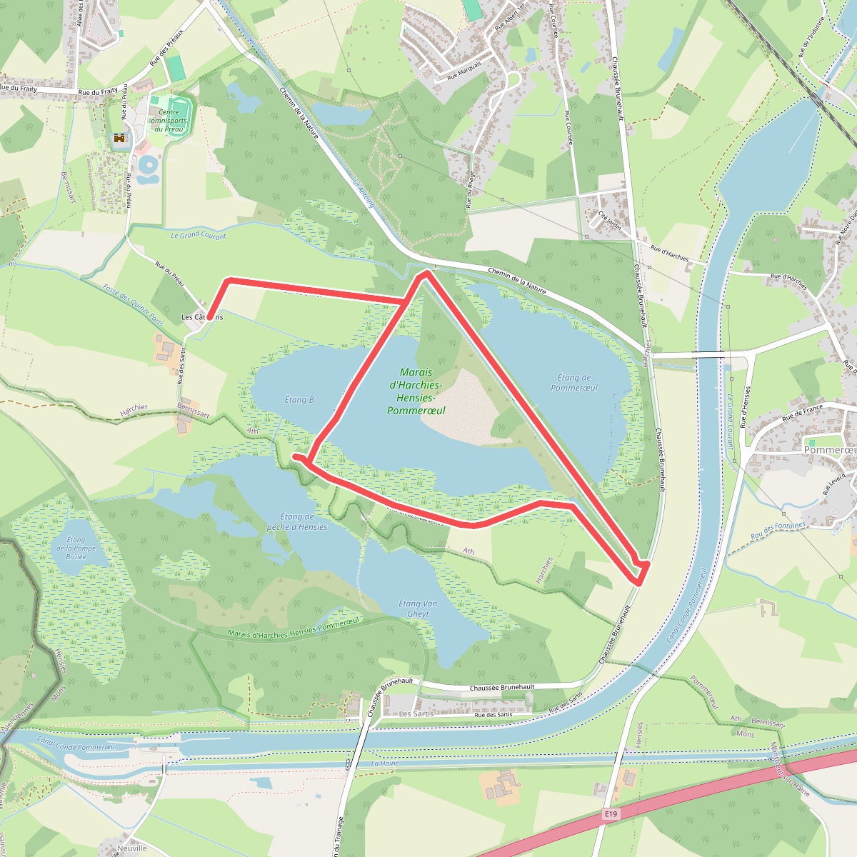
#4. Les Marais d'Harchies
Harchies,Pommerœul



