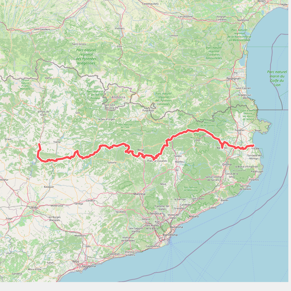
The best hiking routes in Parc Natural del Montgrí, les Illes Medes i el Baix Ter
Discover the best walks in Parc Natural del Montgrí, les Illes Medes i el Baix Ter. 7 routes on the map, with descriptions, photos and GPX.
About Parc Natural del Montgrí, les Illes Medes i el Baix Ter
Parc Natural del Montgrí, les Illes Medes i el Baix Ter is a coastal landscape of stark contrasts, dominated by the limestone massif of Montgrí, the alluvial plain of the Ter river, and the offshore islands of the Medes. Walking here means choosing between two distinct environments. The dry, elevated limestone plateau of the massif offers stony, exposed paths through low scrub, rosemary, and dwarf palms, where the terrain is rocky and uneven underfoot. In contrast, the low-lying wetlands and dunes near the river mouth feature flat, sandy tracks and occasional wooden boardwalks that wind through reedbeds and salt marshes.
Read more
About Parc Natural del Montgrí, les Illes Medes i el Baix Ter
Parc Natural del Montgrí, les Illes Medes i el Baix Ter is a coastal landscape of stark contrasts, dominated by the limestone massif of Montgrí, the alluvial plain of the Ter river, and the offshore islands of the Medes. Walking here means choosing between two distinct environments. The dry, elevated limestone plateau of the massif offers stony, exposed paths through low scrub, rosemary, and dwarf palms, where the terrain is rocky and uneven underfoot. In contrast, the low-lying wetlands and dunes near the river mouth feature flat, sandy tracks and occasional wooden boardwalks that wind through reedbeds and salt marshes.
Read moreParc Natural del Montgrí, les Illes Medes i el Baix Ter is a coastal landscape of stark contrasts, dominated by the limestone massif of Montgrí, the alluvial plain of the Ter river, and the offshore islands of the Medes. Walking here means choosing between two distinct environments. The dry, elevated limestone plateau of the massif offers stony, exposed paths through low scrub, rosemary, and dwarf palms, where the terrain is rocky and uneven underfoot. In contrast, the low-lying wetlands and dunes near the river mouth feature flat, sandy tracks and occasional wooden boardwalks that wind through reedbeds and salt marshes.
The dry limestone heights show clear signs of traditional stone farming, with ancient dry-stone walls and shelters lining the paths, while the lower agricultural plain is shaped by drainage channels and rice fields. You will notice a sharp transition from the scent of pine and wild herbs on the hillsides to the brackish, damp air of the coastal lagoons. The offshore Medes islands remain visible from most coastal vantage points, serving as a constant navigation marker.
This is not a park of high mountain peaks or deep, shaded forests. The walking is generally open and exposed, with little shade on the limestone heights or the coastal flats. The sandy tracks near the beach can be heavy going, while the rocky paths on the massif require stable footing. The area around the mouth of the Ter river is often quieter, whereas the paths leading to the castle ruins on top of the Montgrí massif are well-known and see more foot traffic.
Hiking routes in Parc Natural del Montgrí, les Illes Medes i el Baix Ter (7)
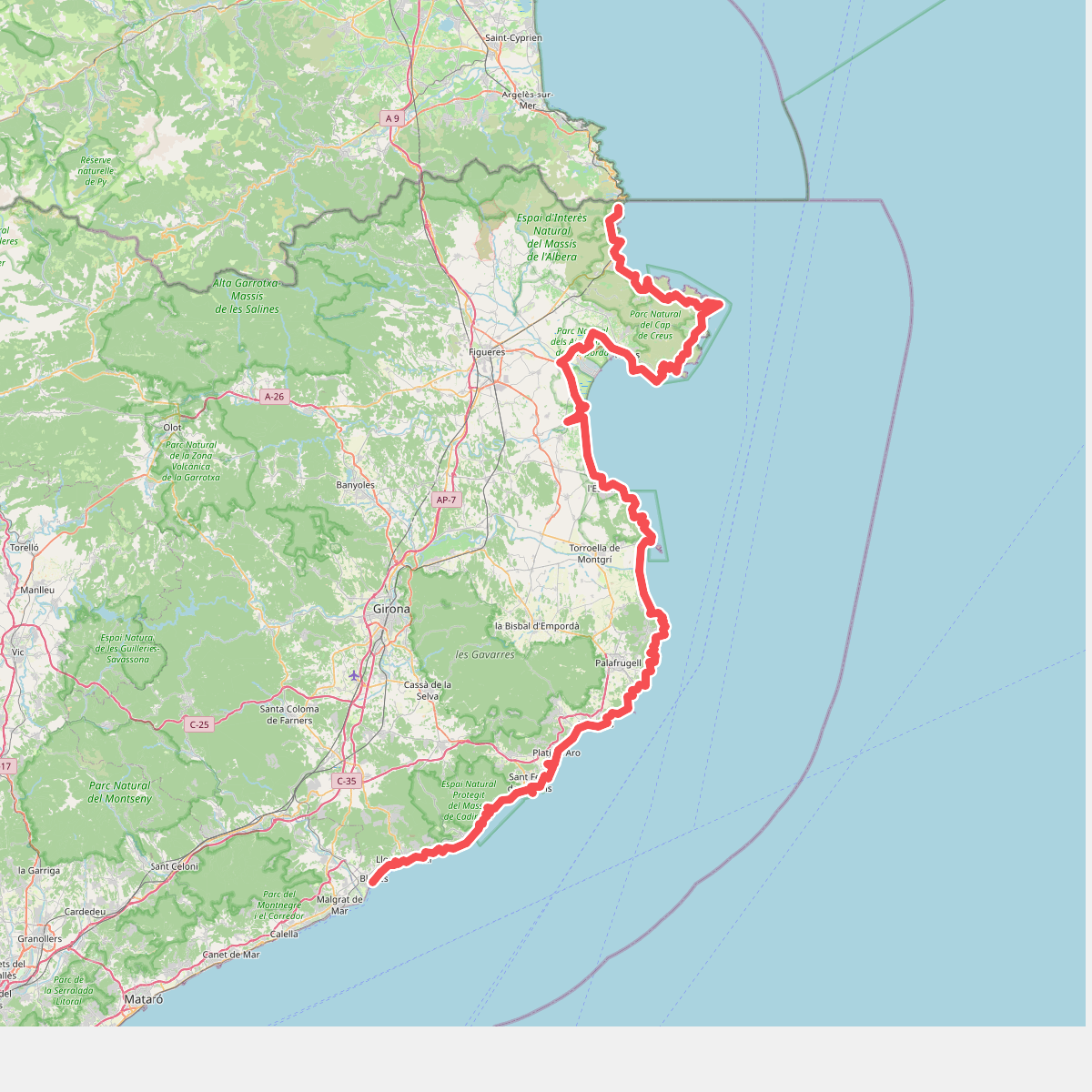
#1. Camí de Ronda
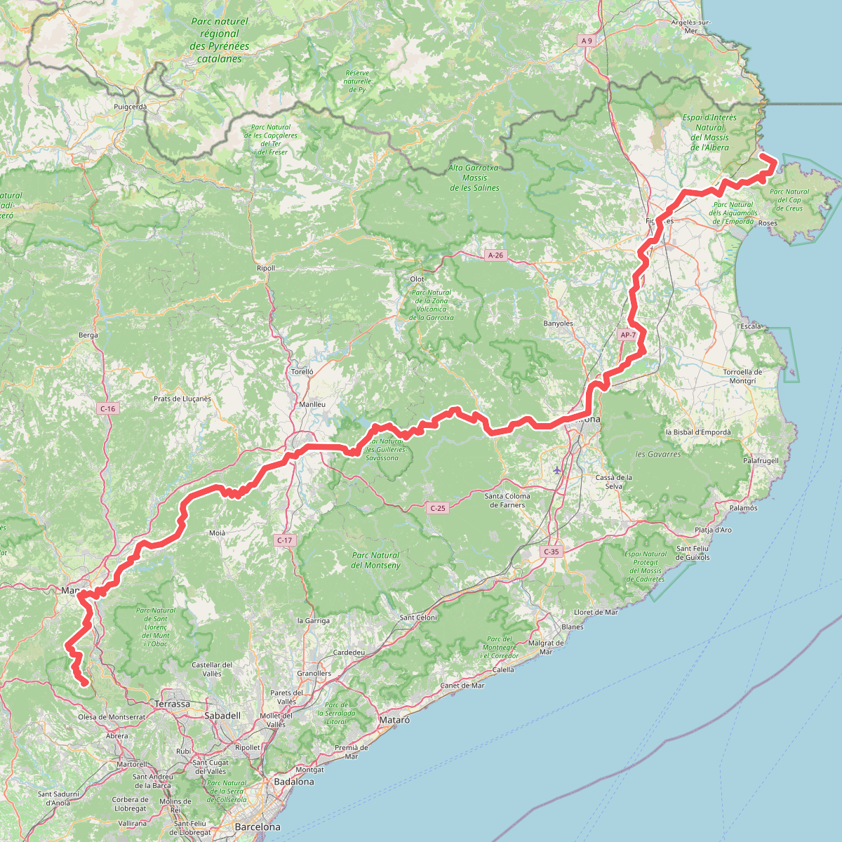
#2. Camí de Sant Jaume (Sant Pere de Rodes - Montserrat)
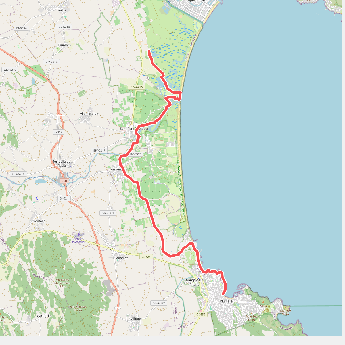
#3. Catalunya E05
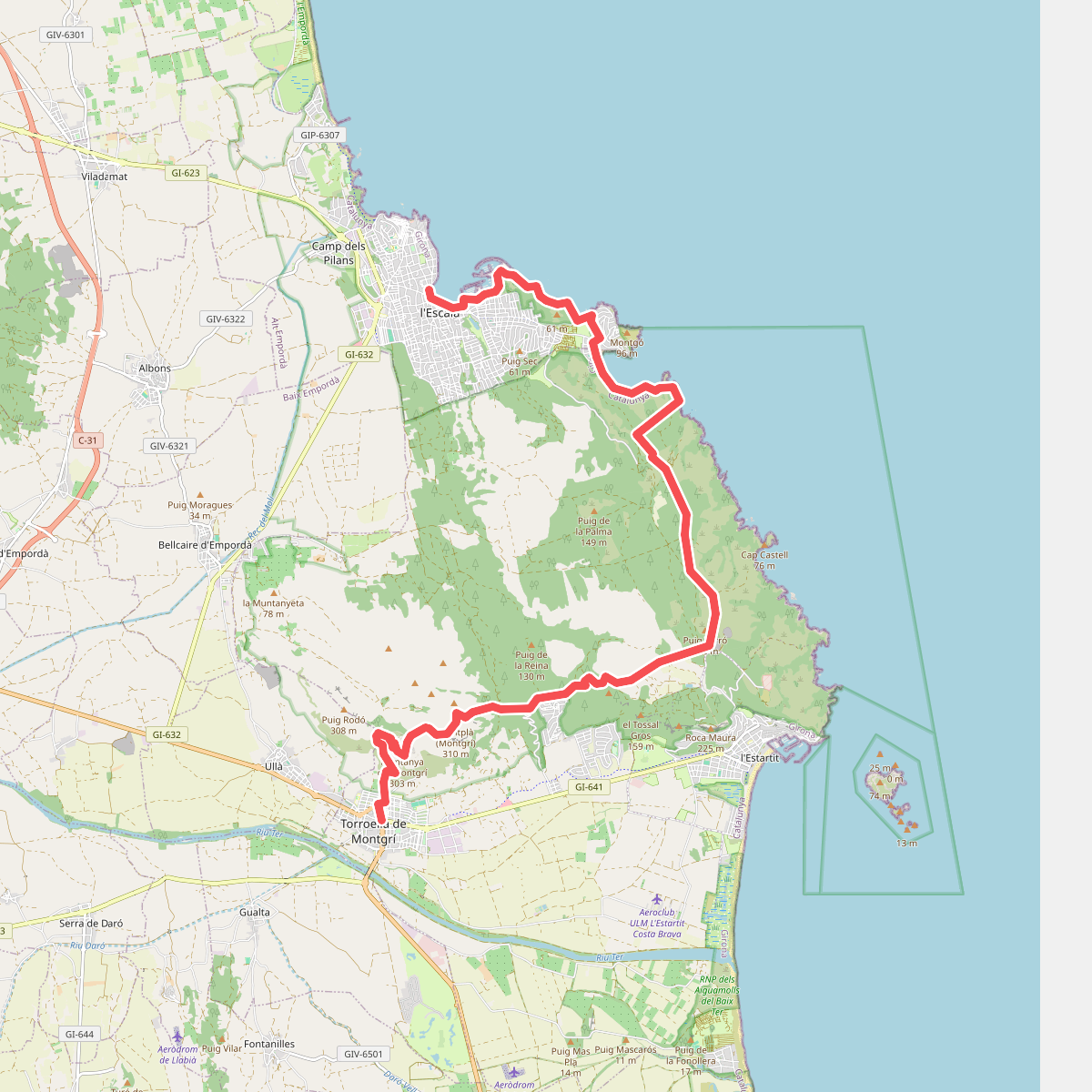
#4. Catalunya E06
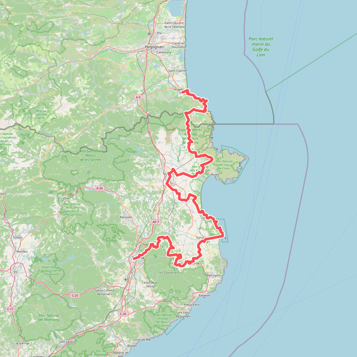
#5. El Camí IT7TR5 El Camí de Llevant: de Montserrat a Salses
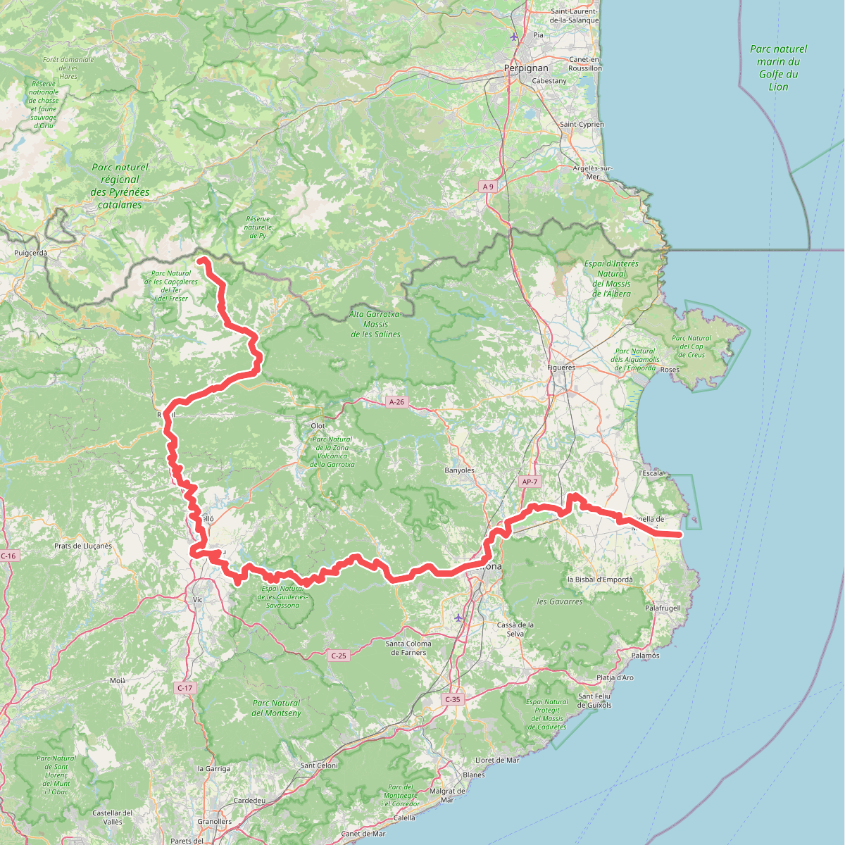
#6. Ruta del Ter