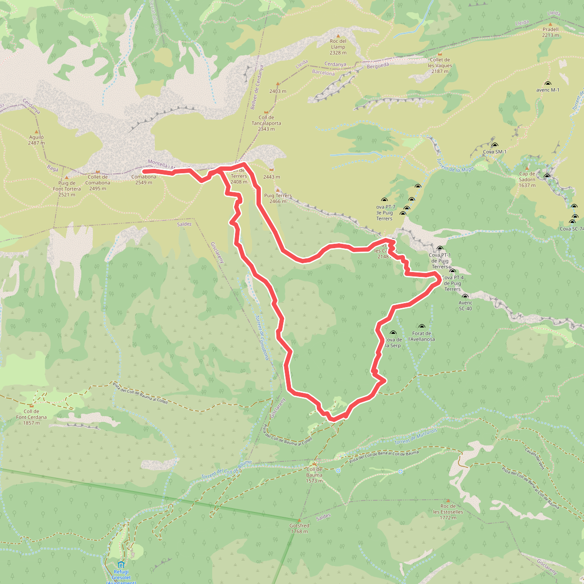
The best hiking routes in Parc Natural del Cadí-Moixeró
Discover the best walks in Parc Natural del Cadí-Moixeró. 59 routes on the map, with descriptions, photos and GPX.
Managed by Generalitat de Catalunya
About Parc Natural del Cadí-Moixeró
Parc Natural del Cadí-Moixeró is defined by two distinct mountain barriers running parallel in the Catalan Pre-Pyrenees. The northern slopes of the Cadí range present steep, sheer limestone cliffs that drop dramatically, while the southern slopes descend more gradually. This creates a sharp contrast between the dry, Mediterranean vegetation of the lower southern valleys and the subalpine forests of Scots pine and mountain pine that dominate the higher elevations. Underfoot, walkers will transition from dusty, gravelly tracks on the lower slopes to rugged, rocky limestone paths as they ascend toward the ridges.
Read more
About Parc Natural del Cadí-Moixeró
Parc Natural del Cadí-Moixeró is defined by two distinct mountain barriers running parallel in the Catalan Pre-Pyrenees. The northern slopes of the Cadí range present steep, sheer limestone cliffs that drop dramatically, while the southern slopes descend more gradually. This creates a sharp contrast between the dry, Mediterranean vegetation of the lower southern valleys and the subalpine forests of Scots pine and mountain pine that dominate the higher elevations. Underfoot, walkers will transition from dusty, gravelly tracks on the lower slopes to rugged, rocky limestone paths as they ascend toward the ridges.
Read moreParc Natural del Cadí-Moixeró is defined by two distinct mountain barriers running parallel in the Catalan Pre-Pyrenees. The northern slopes of the Cadí range present steep, sheer limestone cliffs that drop dramatically, while the southern slopes descend more gradually. This creates a sharp contrast between the dry, Mediterranean vegetation of the lower southern valleys and the subalpine forests of Scots pine and mountain pine that dominate the higher elevations. Underfoot, walkers will transition from dusty, gravelly tracks on the lower slopes to rugged, rocky limestone paths as they ascend toward the ridges.
Unlike the granite peaks of the high Pyrenees further north, this limestone landscape is highly karstified. Water quickly disappears underground, meaning you will find few streams or lakes along the high ridges, though natural springs do emerge at the base of the cliffs. The iconic double peak of Pedraforca sits between the two main ranges, showing a distinct fork shape caused by the erosion of softer clay layers between harder limestone walls. Walkers should expect steep, sustained climbs on loose scree if they head toward this central massif.
In late spring, around May and June, the high alpine meadows above the treeline are marked by the flowering of gentians and saxifrage before the summer heat dries the thin soil. While the classic ascent routes and the mountain passes like Coll de Pendís can be busier with hikers, the deeper beech forests on the northern damp slopes of the Moixeró range offer a much quieter, shaded walking environment. The terrain throughout the park requires sturdy footwear to navigate the sharp, loose limestone fragments that cover most of the established paths.
Hiking routes in Parc Natural del Cadí-Moixeró (59)
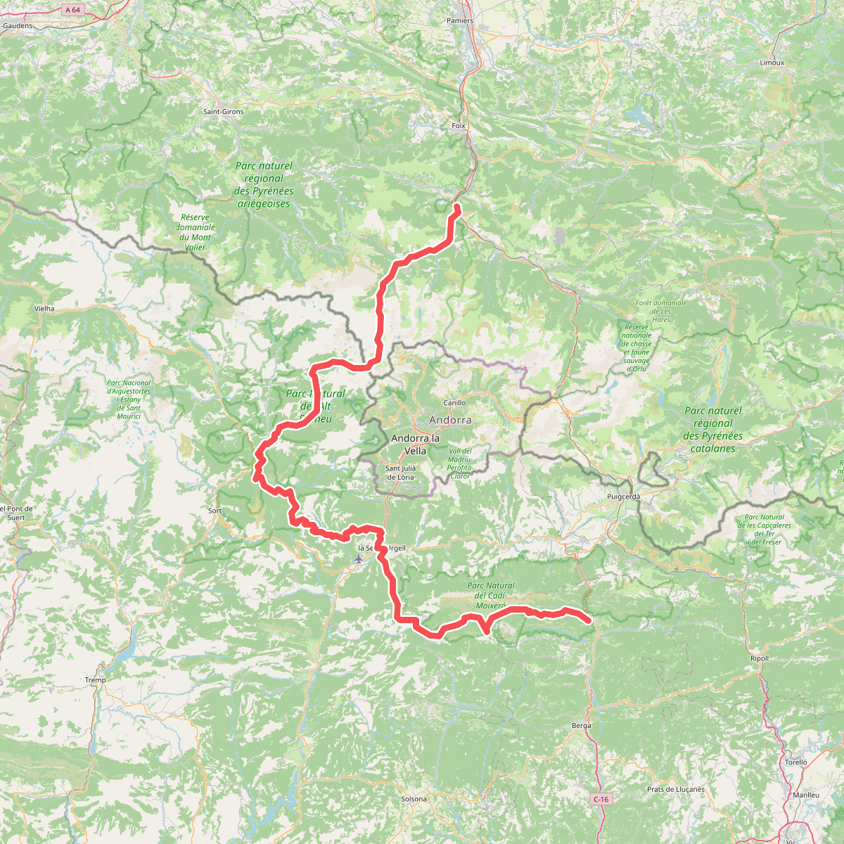
#1. Camí de l'Últim Càtar
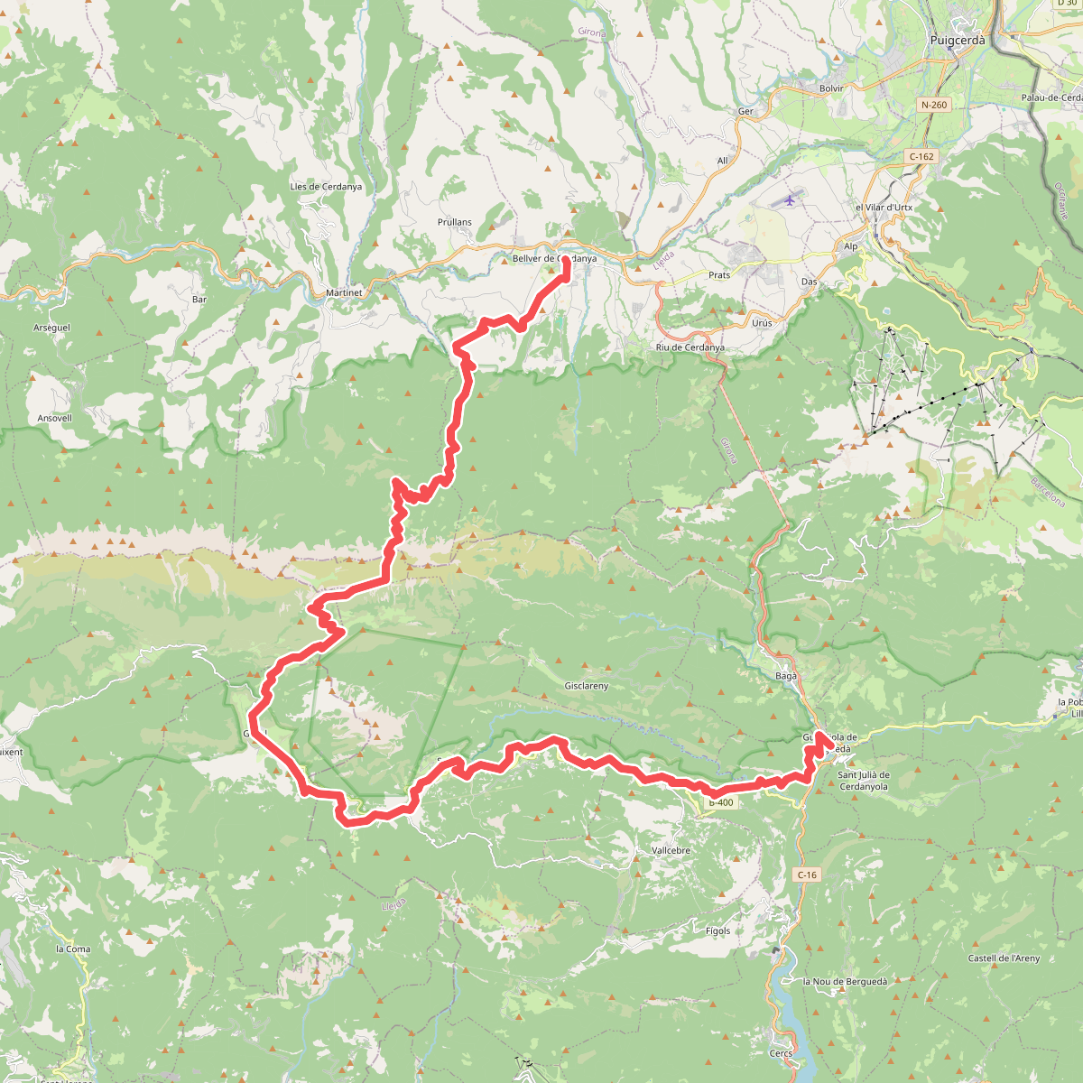
#2. Camí de Picasso
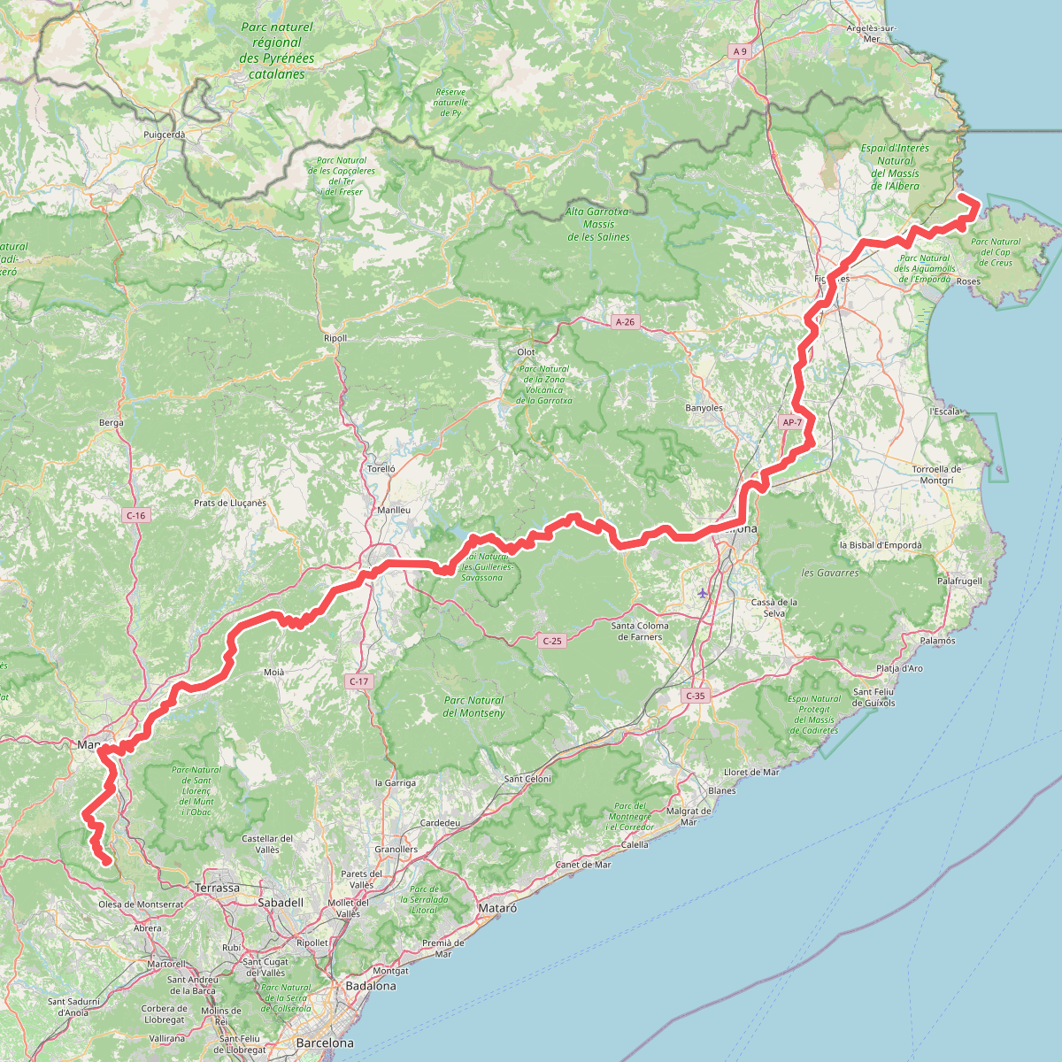
#3. Camí de Sant Jaume (Sant Pere de Rodes - Montserrat)
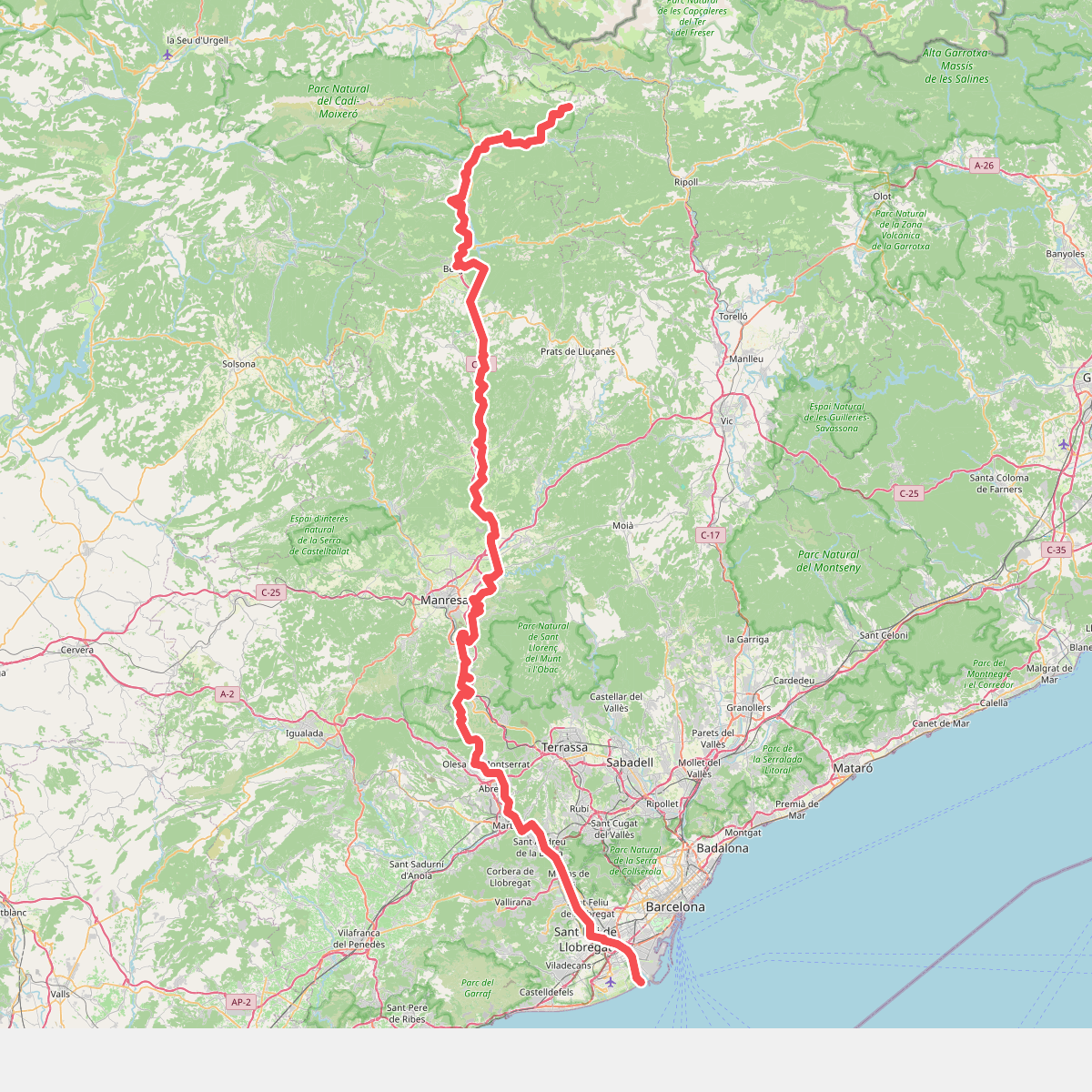
#4. Camí del Llobregat
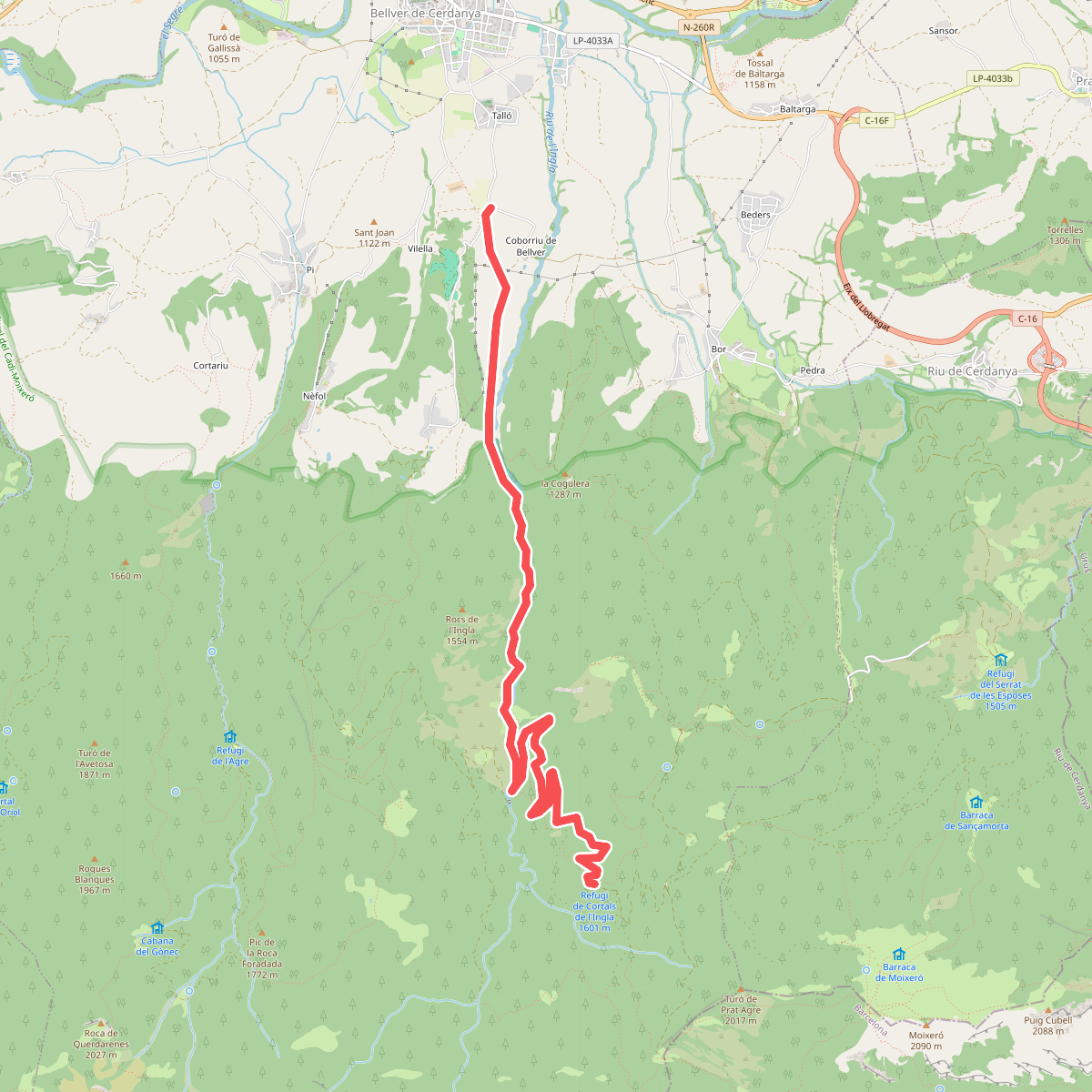
#5. Camí dels bons homes · GR 107.4
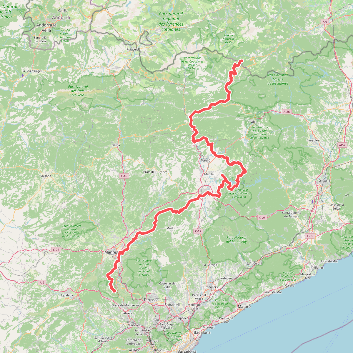
#6. Camí Oliba
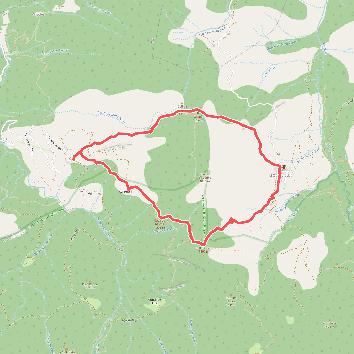
#7. Cava Tossal de Bades Querforadat
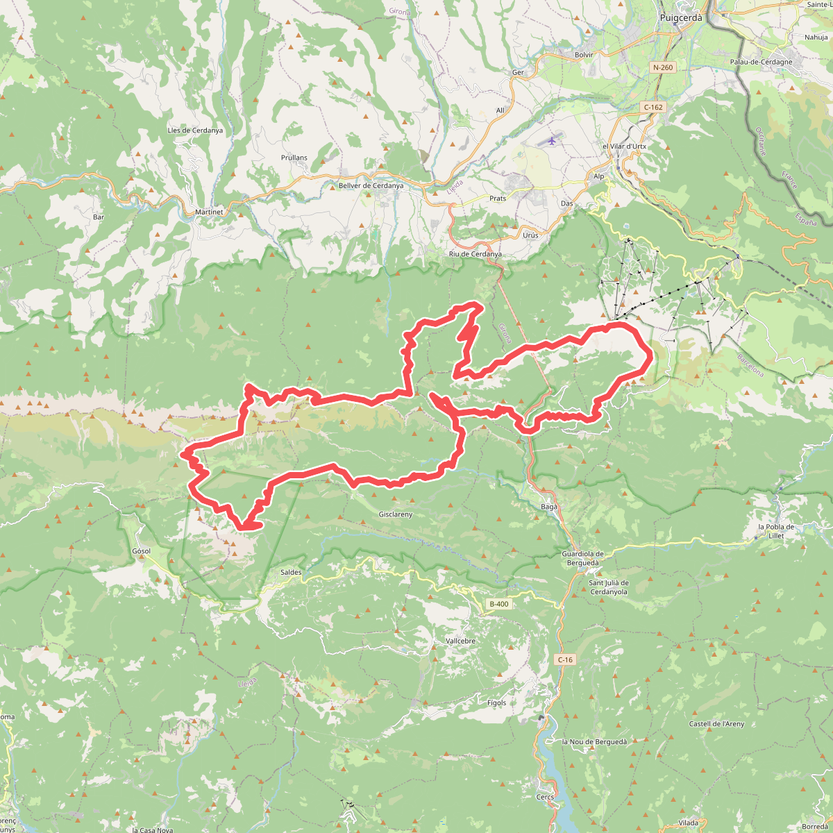
#8. Cavalls del Vent
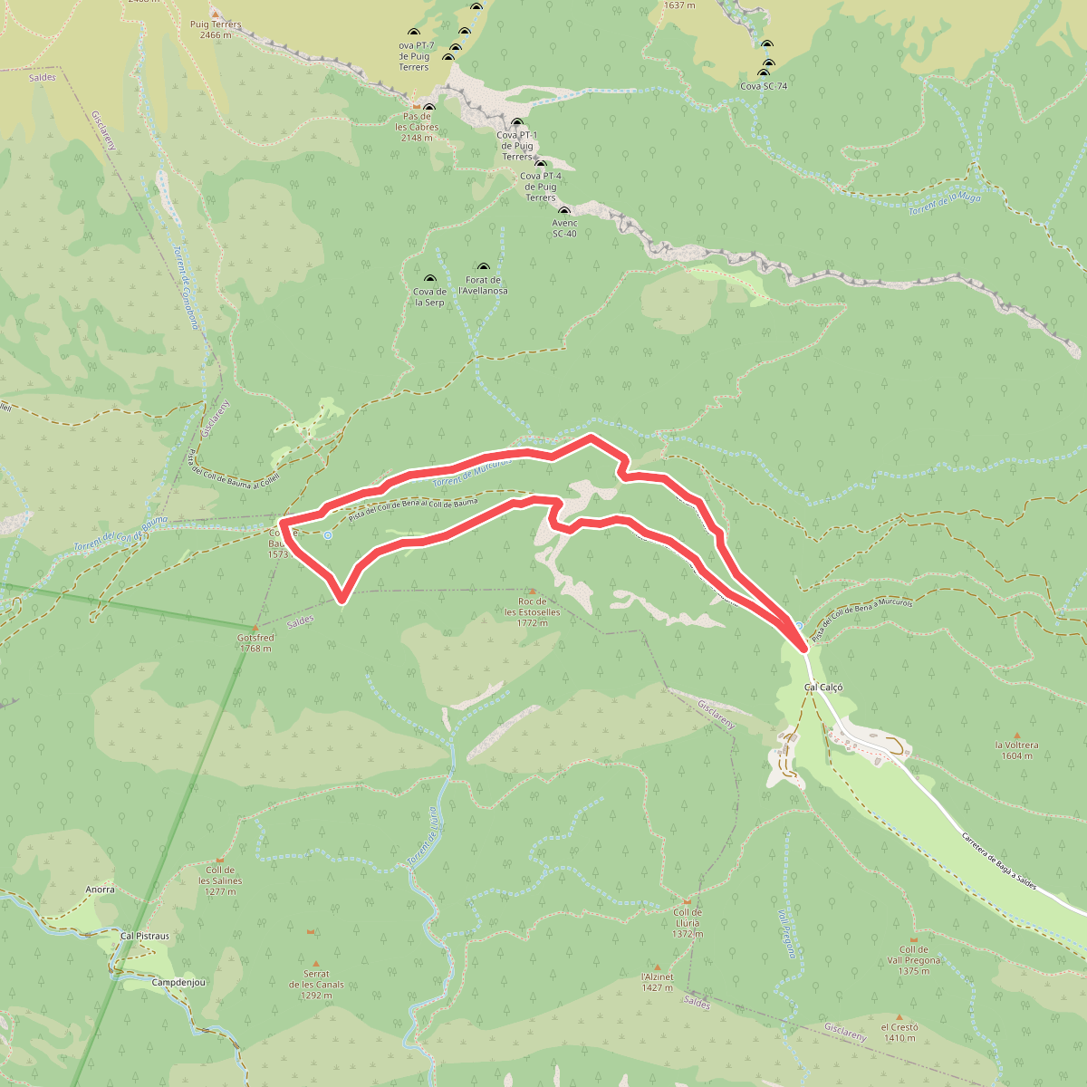
#9. Coll de Bauma
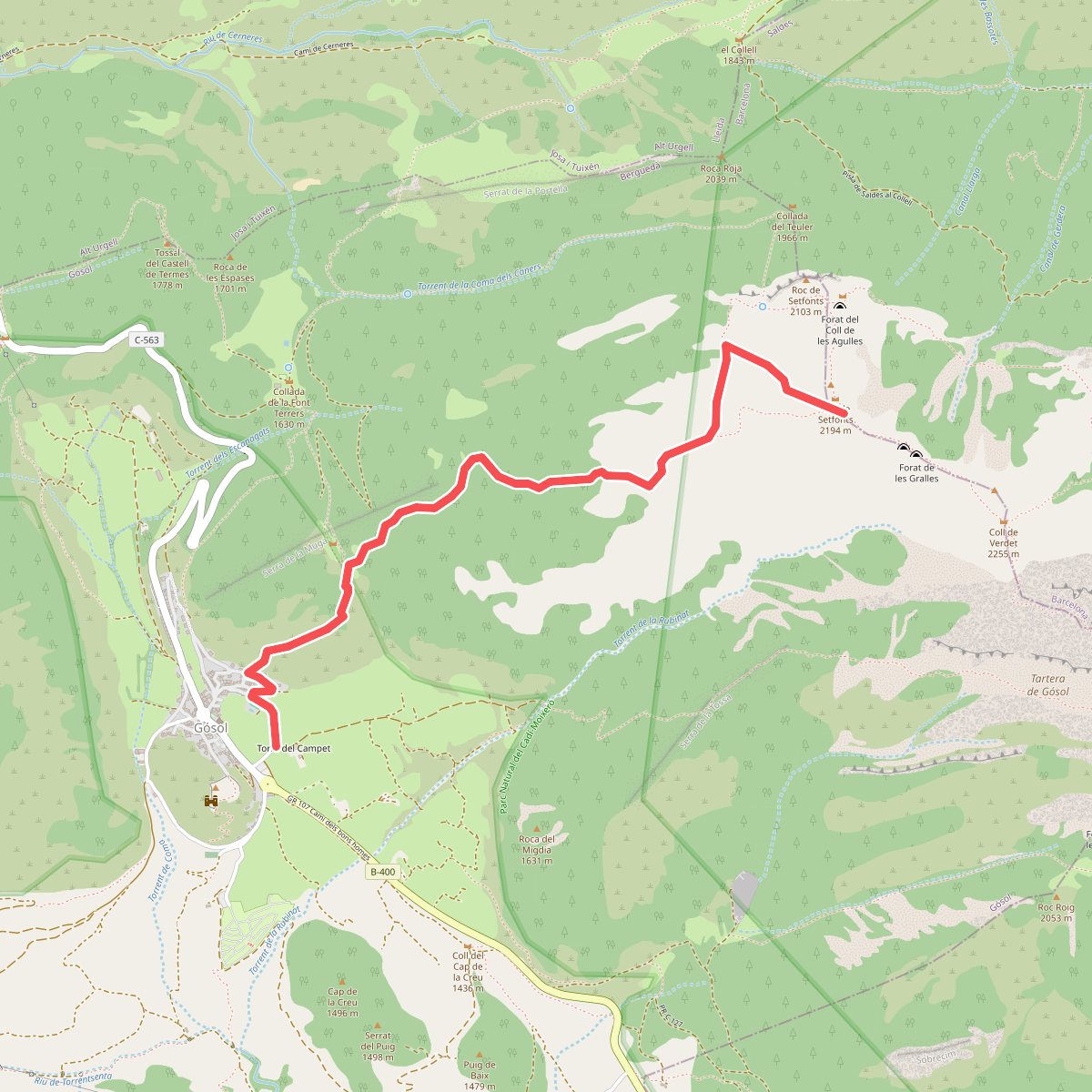
#10. Coll de Setfons
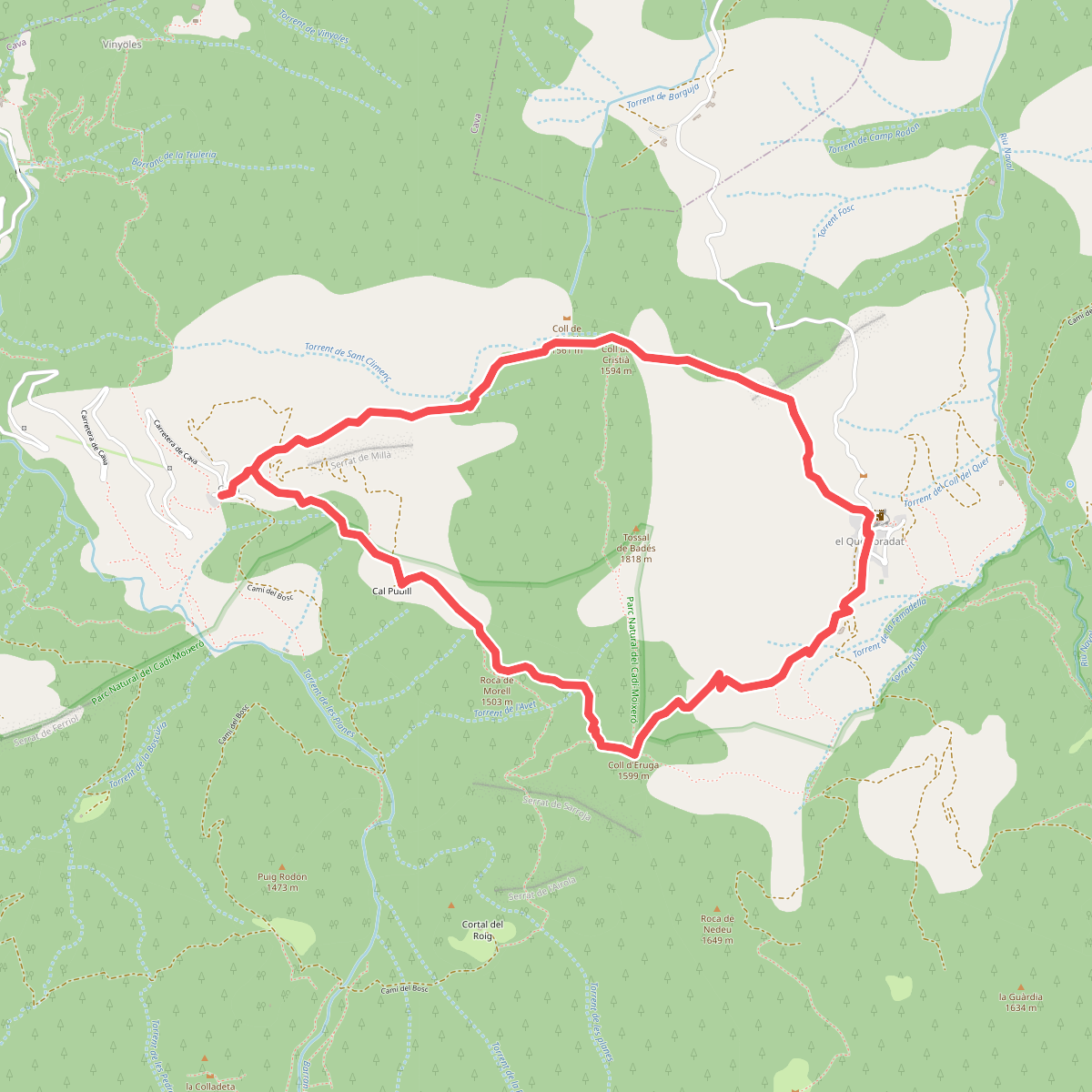
#11. Coll d'Eruga - Coll de Cristià