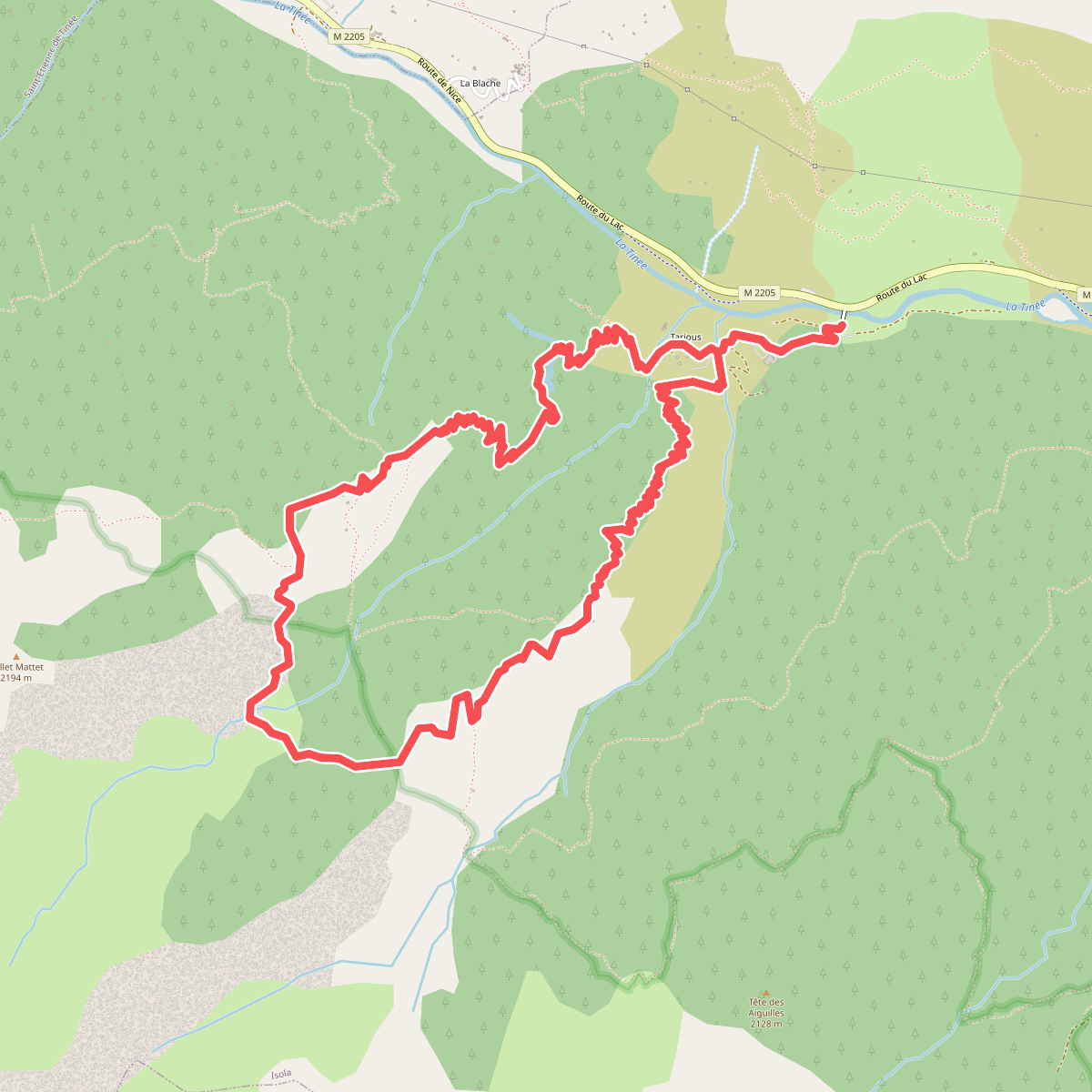
The best hiking routes in Parc national du Mercantour (cœur)
Discover the best walks in Parc national du Mercantour (cœur). 70 routes on the map, with descriptions, photos and GPX.
About Parc national du Mercantour (cœur)
Parc national du Mercantour (cœur) covers a rugged, high-altitude alpine terrain where the Southern Alps meet Mediterranean influences. Unlike lower, gentler massifs, this core zone is characterized by steep, grey limestone cliffs, vast scree slopes, and deep glacial troughs. Walkers will find a stark contrast between the dry, larch-forested lower valleys and the barren, wind-scoured rock deserts of the high passes. Underfoot, the trails transition from soft needle-littered dirt paths under the trees to loose shale, jagged boulders, and exposed bedrock above the treeline.
Read more
About Parc national du Mercantour (cœur)
Parc national du Mercantour (cœur) covers a rugged, high-altitude alpine terrain where the Southern Alps meet Mediterranean influences. Unlike lower, gentler massifs, this core zone is characterized by steep, grey limestone cliffs, vast scree slopes, and deep glacial troughs. Walkers will find a stark contrast between the dry, larch-forested lower valleys and the barren, wind-scoured rock deserts of the high passes. Underfoot, the trails transition from soft needle-littered dirt paths under the trees to loose shale, jagged boulders, and exposed bedrock above the treeline.
Read moreParc national du Mercantour (cœur) covers a rugged, high-altitude alpine terrain where the Southern Alps meet Mediterranean influences. Unlike lower, gentler massifs, this core zone is characterized by steep, grey limestone cliffs, vast scree slopes, and deep glacial troughs. Walkers will find a stark contrast between the dry, larch-forested lower valleys and the barren, wind-scoured rock deserts of the high passes. Underfoot, the trails transition from soft needle-littered dirt paths under the trees to loose shale, jagged boulders, and exposed bedrock above the treeline.
As you climb, the geological transition becomes obvious. The northern sectors feature dark, iron-rich pelite rock, most notably in the red gorges around the Gorges de Daluis edge, while the central valleys expose pale, polished granite shaped by ancient glaciers. You will walk past high-altitude lakes like Lac d'Allos, where the water sits in deep glacial cirques surrounded by steep rock walls. The vegetation adapts quickly to these changes, shifting from alpine meadows filled with dwarf shrubs to sparse, hardy rock-clinging plants in the highest scree fields.
This is a demanding mountain environment with significant elevation gains, lacking the flat, rolling paths of plateau reserves. Waymarking is consistent along the main paths, but the terrain requires careful footwork over uneven stone steps and natural rock ledges. While popular trailheads near the main lakes see regular foot traffic in July and August, the higher, rocky passes remain quiet, offering a austere landscape of grey stone and alpine grassland.
Hiking routes in Parc national du Mercantour (cœur) (70)
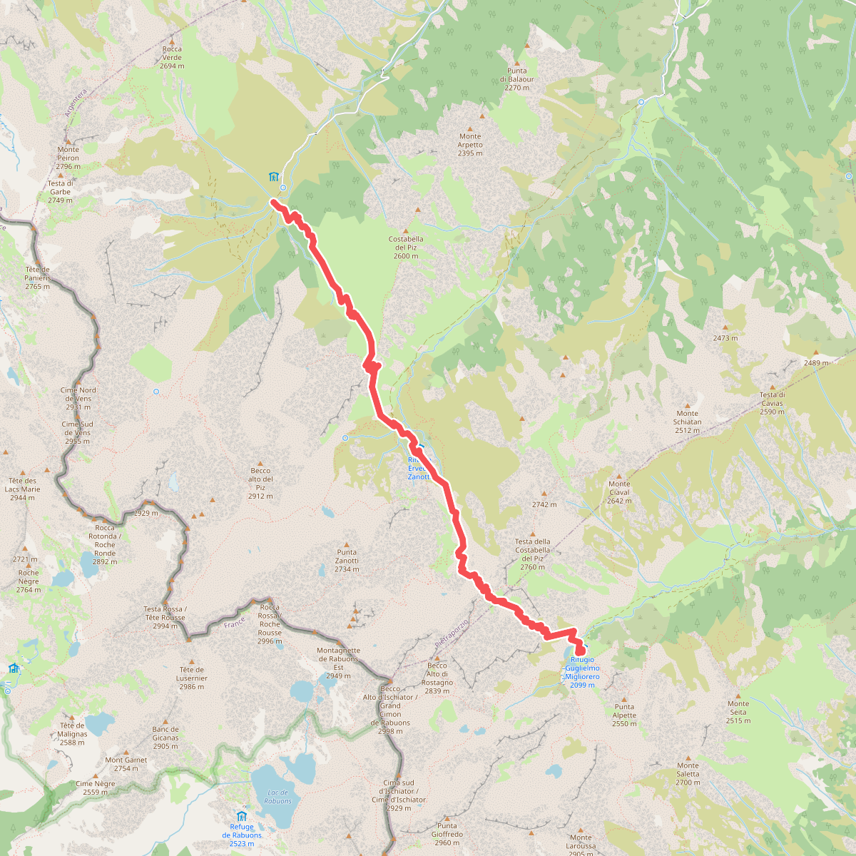
#1. Alte Valli - Tappa 02
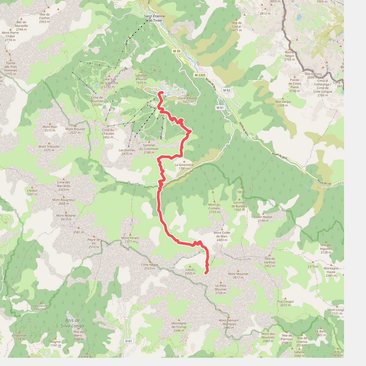
#2. Auron - Combe de Crousette · GR5 etappe 100
Saint-Étienne-de-Tinée,Beuil
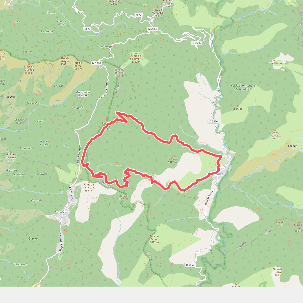
#3. Baisse de Peira Cava
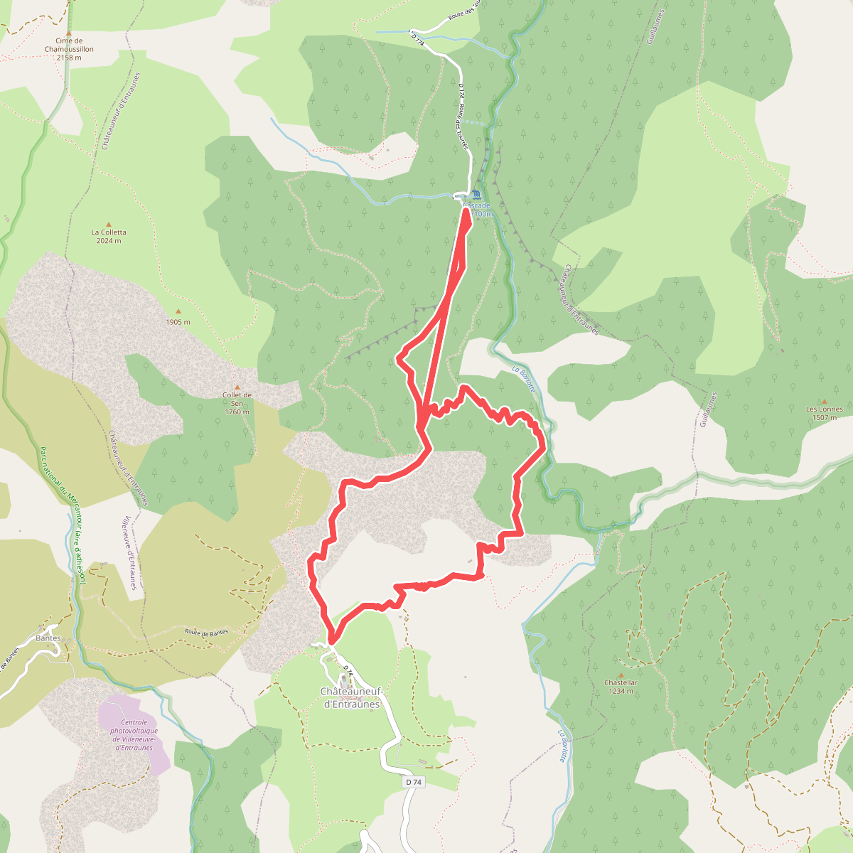
#4. Boucle de la Barlatte
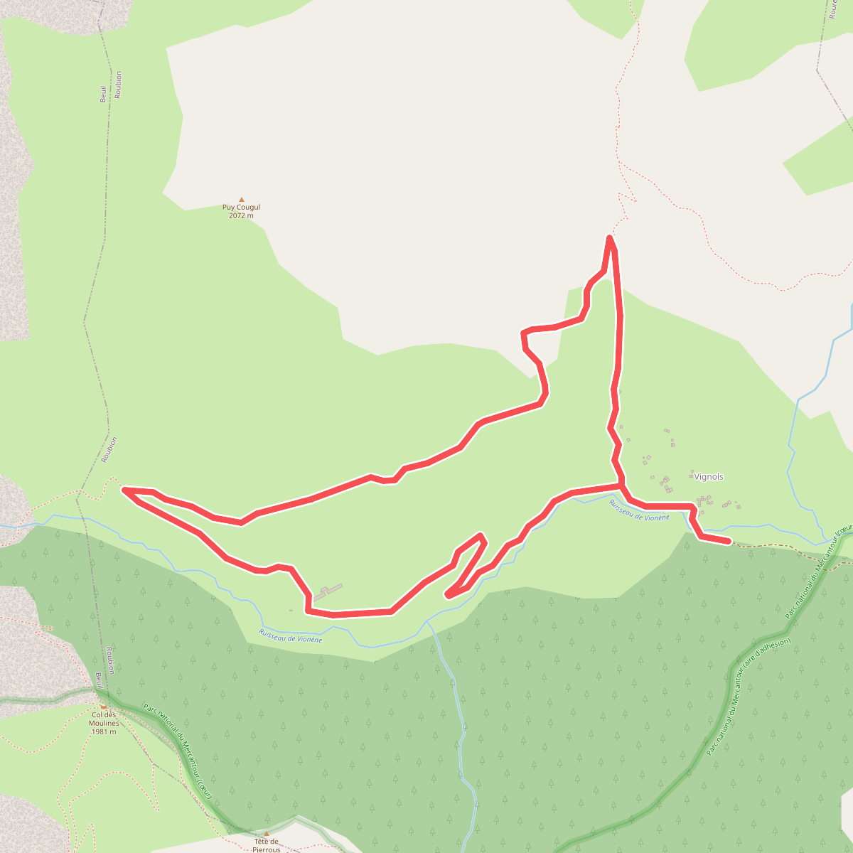
#5. Boucle de Vignols
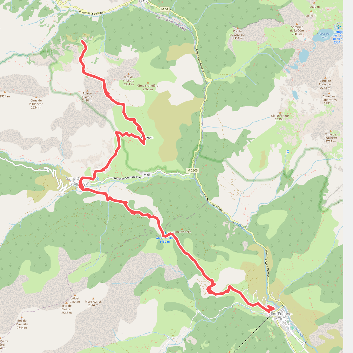
#6. Bouzièyas - Saint-Étienne-de-Tiné... · GR5 etappe 99
Saint-Dalmas-le-Selvage,Saint-Étienne-de-Tinée
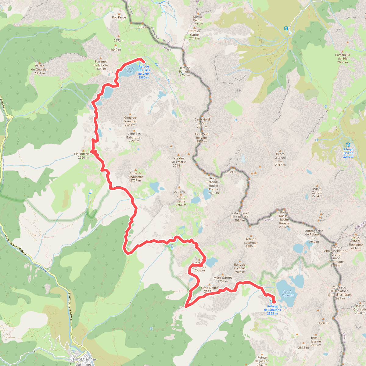
#7. Chemin de l'Énergie - Étape 2
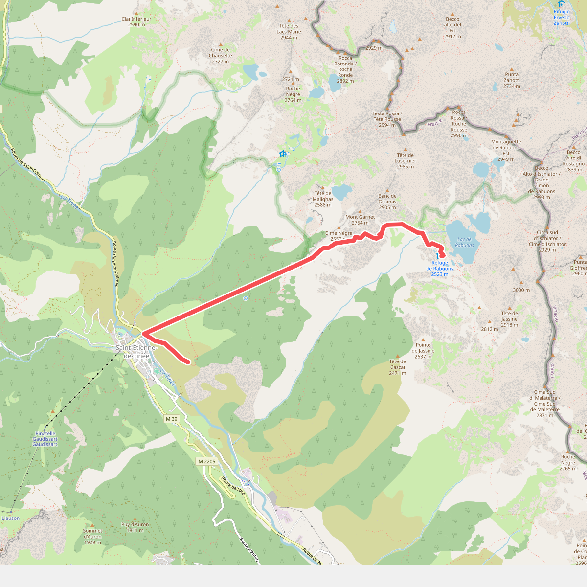
#8. Chemin de l'Énergie - Étape 3
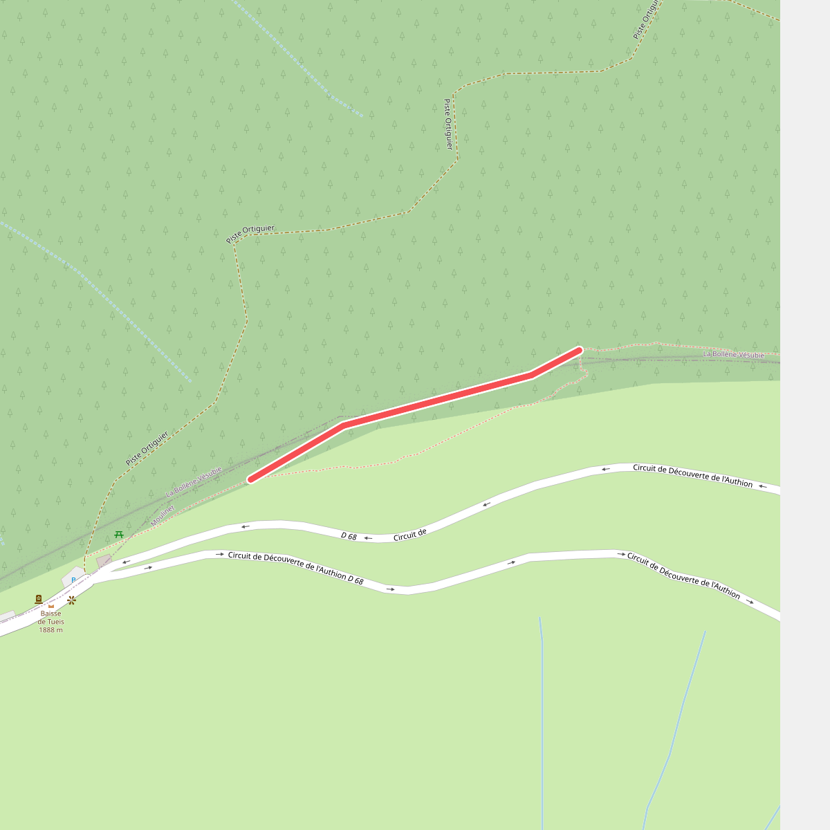
#9. Cime du Diable
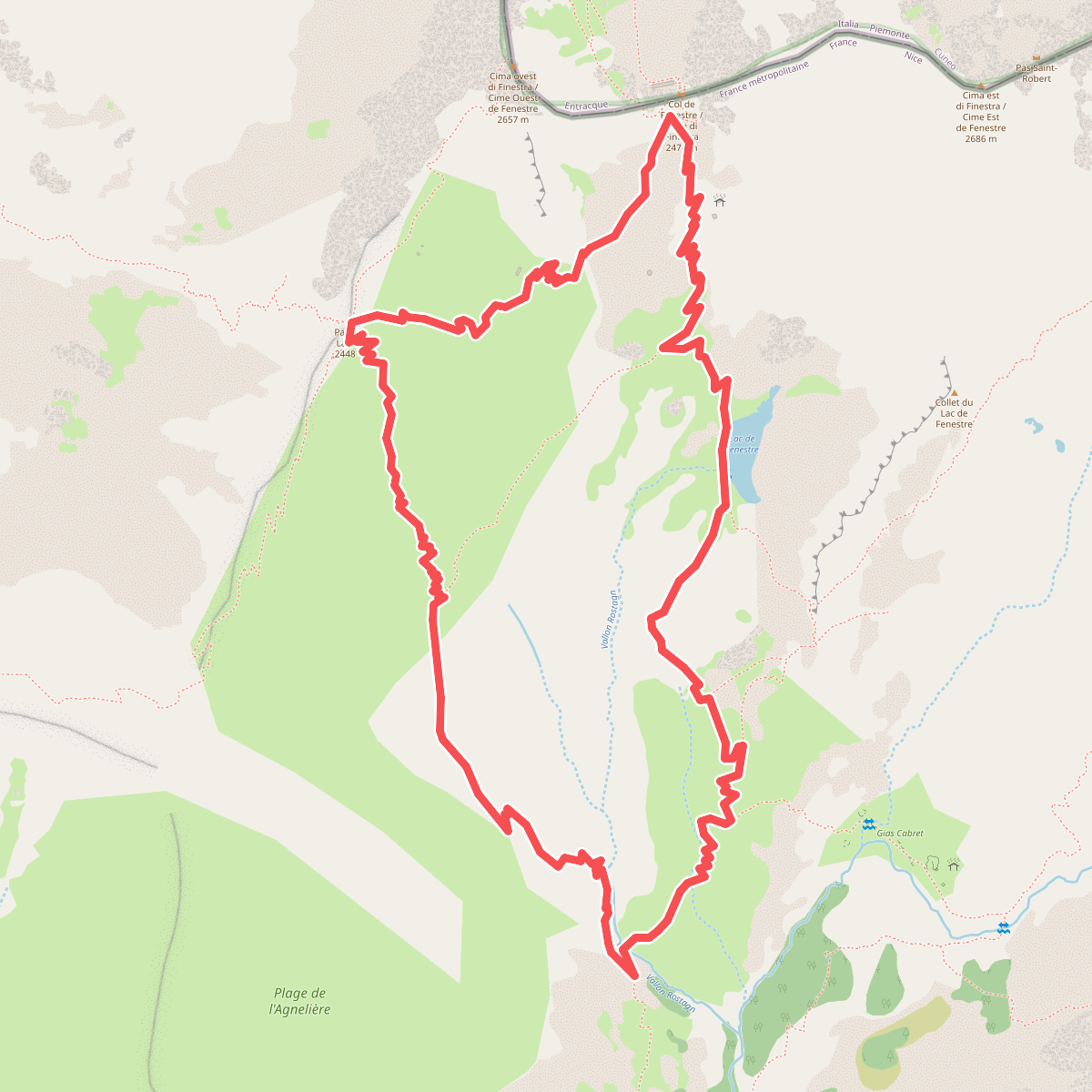
#10. Circuit de Fenestre
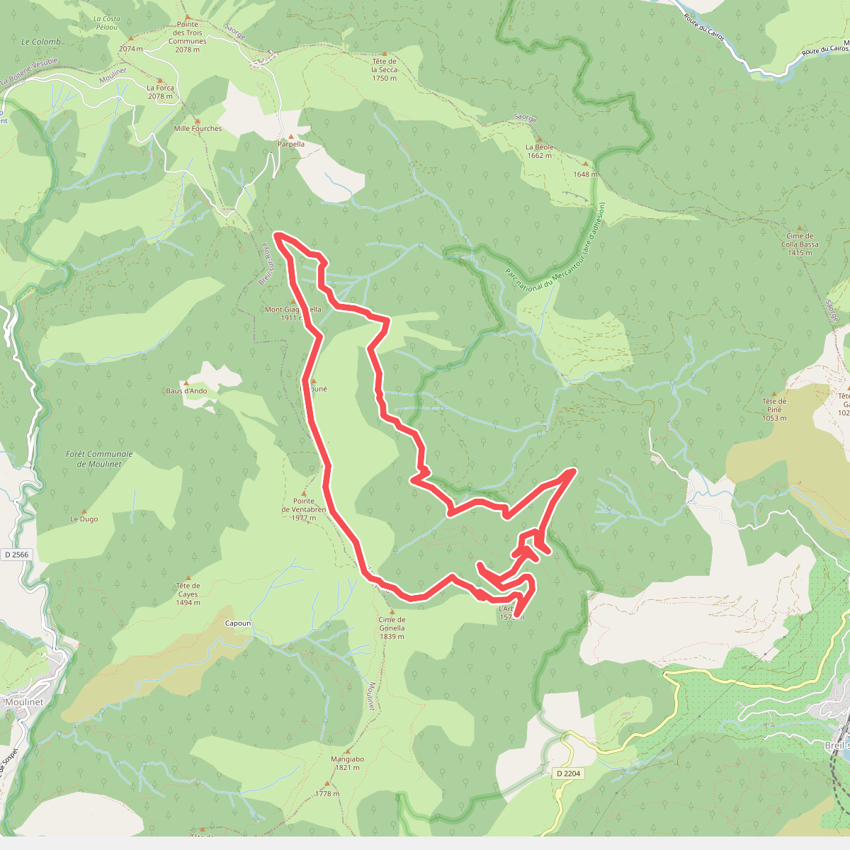
#11. Circuit de la Déa