

The best hiking routes in Odenwald bei Schriesheim
Discover the best walks in Odenwald bei Schriesheim. 43 routes on the map, with descriptions, photos and GPX.
About Odenwald bei Schriesheim
Odenwald bei Schriesheim covers the steep transition zone where the flat Rhine Rift Valley meets the forested hills of the western Odenwald. Walkers here will find a landscape shaped by historic stone quarrying and viticulture, rather than untouched wilderness. The lower slopes are dominated by terraced vineyards facing south and west, while the higher ridges are covered in dense beech and mixed deciduous forest. This is a landscape of elevation changes, meaning you should expect steady climbs on most paths, rather than flat strolls.
Read more
About Odenwald bei Schriesheim
Odenwald bei Schriesheim covers the steep transition zone where the flat Rhine Rift Valley meets the forested hills of the western Odenwald. Walkers here will find a landscape shaped by historic stone quarrying and viticulture, rather than untouched wilderness. The lower slopes are dominated by terraced vineyards facing south and west, while the higher ridges are covered in dense beech and mixed deciduous forest. This is a landscape of elevation changes, meaning you should expect steady climbs on most paths, rather than flat strolls.
Read moreOdenwald bei Schriesheim covers the steep transition zone where the flat Rhine Rift Valley meets the forested hills of the western Odenwald. Walkers here will find a landscape shaped by historic stone quarrying and viticulture, rather than untouched wilderness. The lower slopes are dominated by terraced vineyards facing south and west, while the higher ridges are covered in dense beech and mixed deciduous forest. This is a landscape of elevation changes, meaning you should expect steady climbs on most paths, rather than flat strolls.
Underfoot, the terrain changes quickly. Lower paths through the vineyards are often paved or gravelled, providing firm footing but little shade. As you ascend into the wooded hills, the ground shifts to dirt tracks and narrow, rocky paths strewn with granite and porphyry debris, reflecting the complex geology of the region. The transition from sunny, open vine terraces to the cool, damp canopy of the forest is sudden and noticeable.
While the area lacks high alpine peaks, it offers clear views across the industrial and agricultural plains of the Rhine valley. The paths closest to the town of Schriesheim and the local castle ruins are popular with weekend walkers, but the deeper forest trails further up the ridge are generally quieter. May is a particularly notable month to visit, as the fresh green beech leaves open and the vineyard foliage begins to fill out.
Hiking routes in Odenwald bei Schriesheim (43)
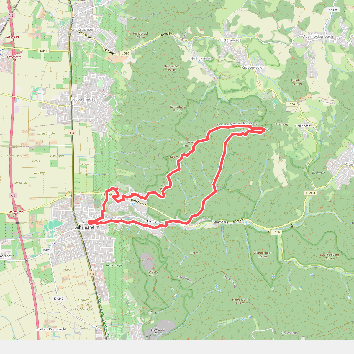
#1. Rundwanderweg Schriesheim 3: Schriesheimer-Hütten-Weg
Schriesheim
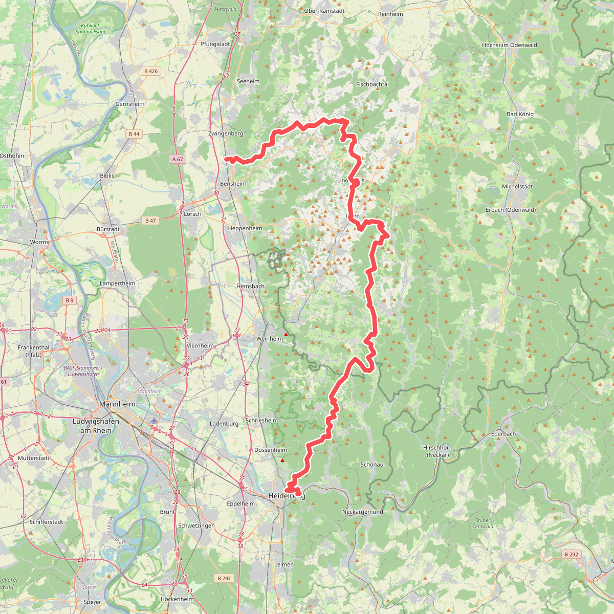
#2. Camino Incluso
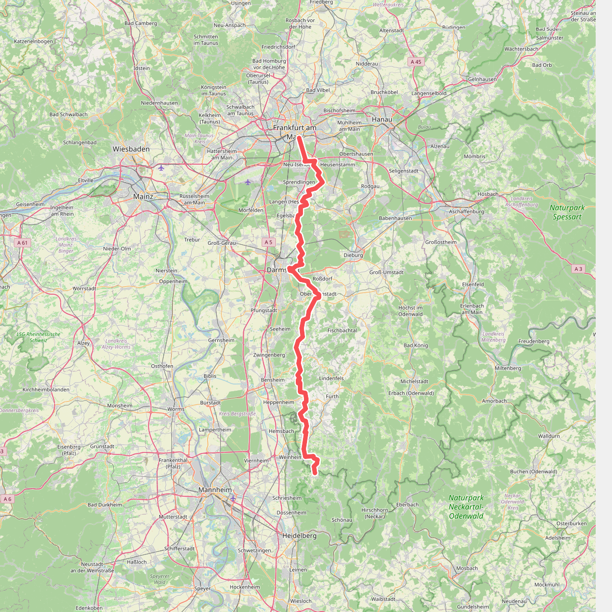
#3. Europäischer Fernwanderweg E1 - Teil Deutschland, Hessen (Gebiet Odenwald Nord)
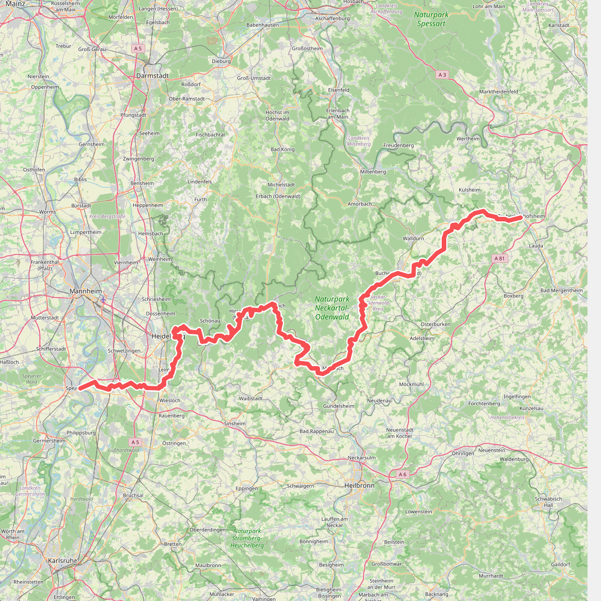
#4. Europäischer Fernwanderweg E8, Südvariante Baden-Württemberg
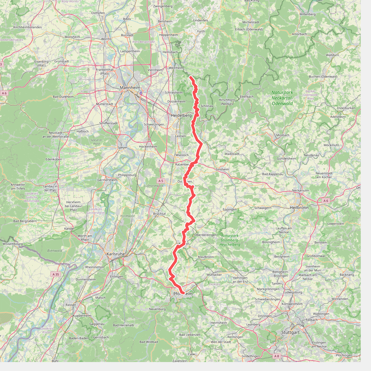
#5. European Long distance path E1 - part Germany, Baden-Wuerttemberg (region Forest of Odes south)
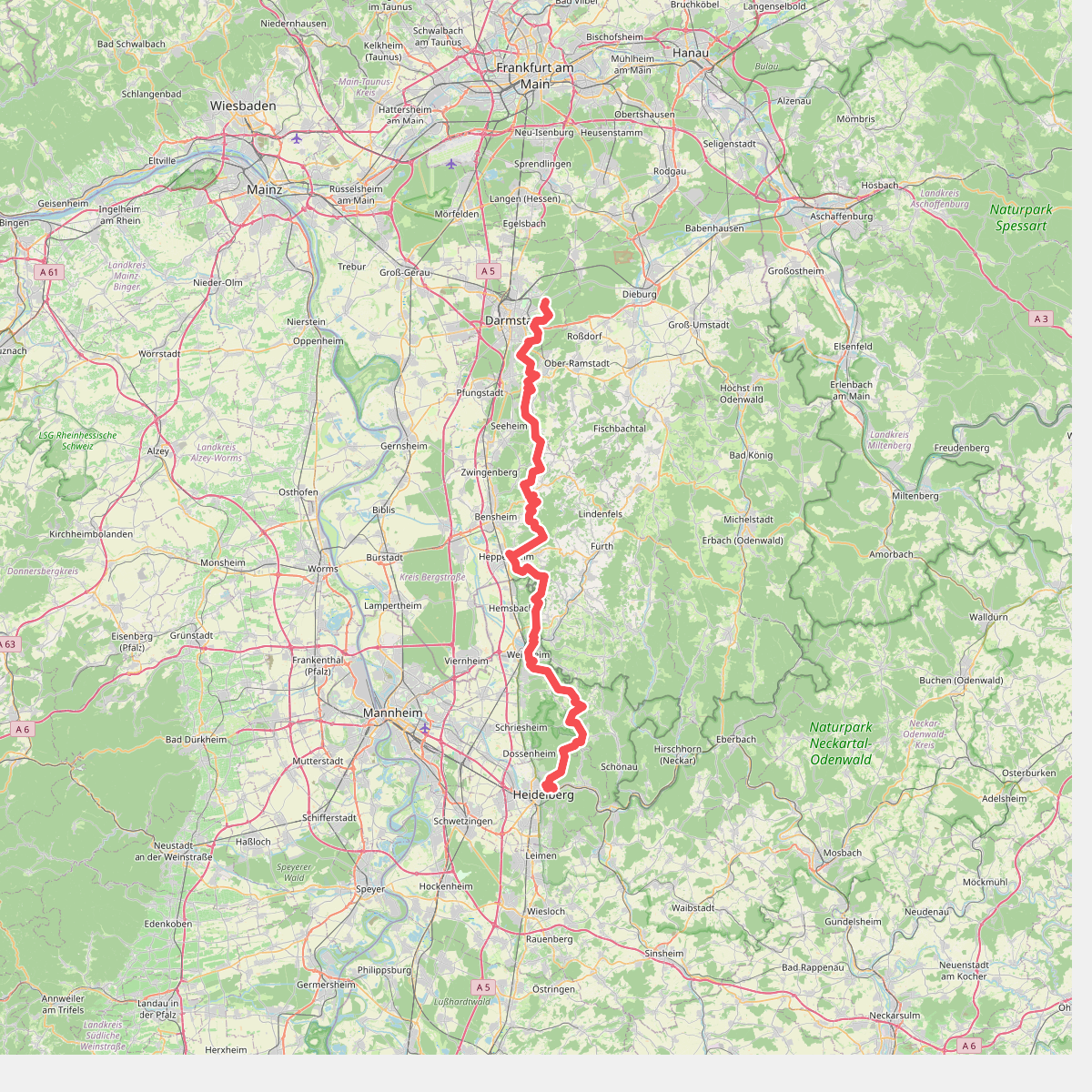
#6. Odenwald-Vogesen-Weg Teil 1
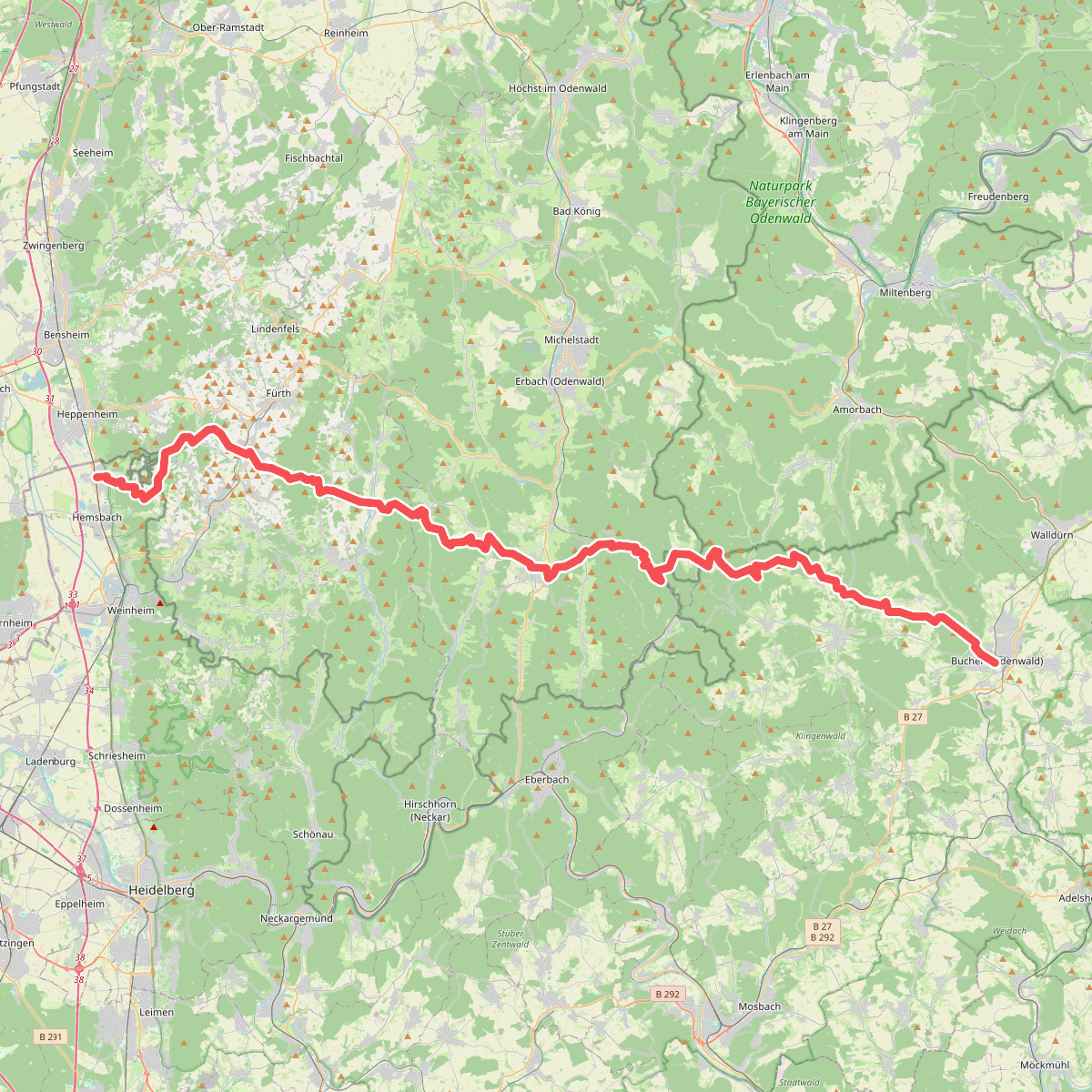
#7. Odenwaldklub HW 26, Laudenbach - Hesselbach - Buchen
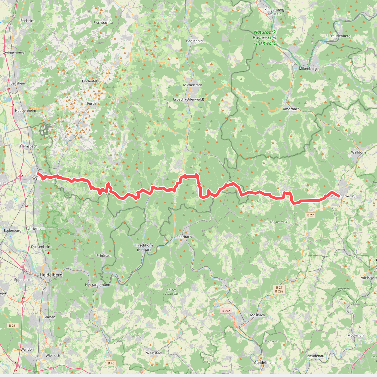
#8. Odenwaldklub HW 30, Weinheim - Gammelsbach - Buchen
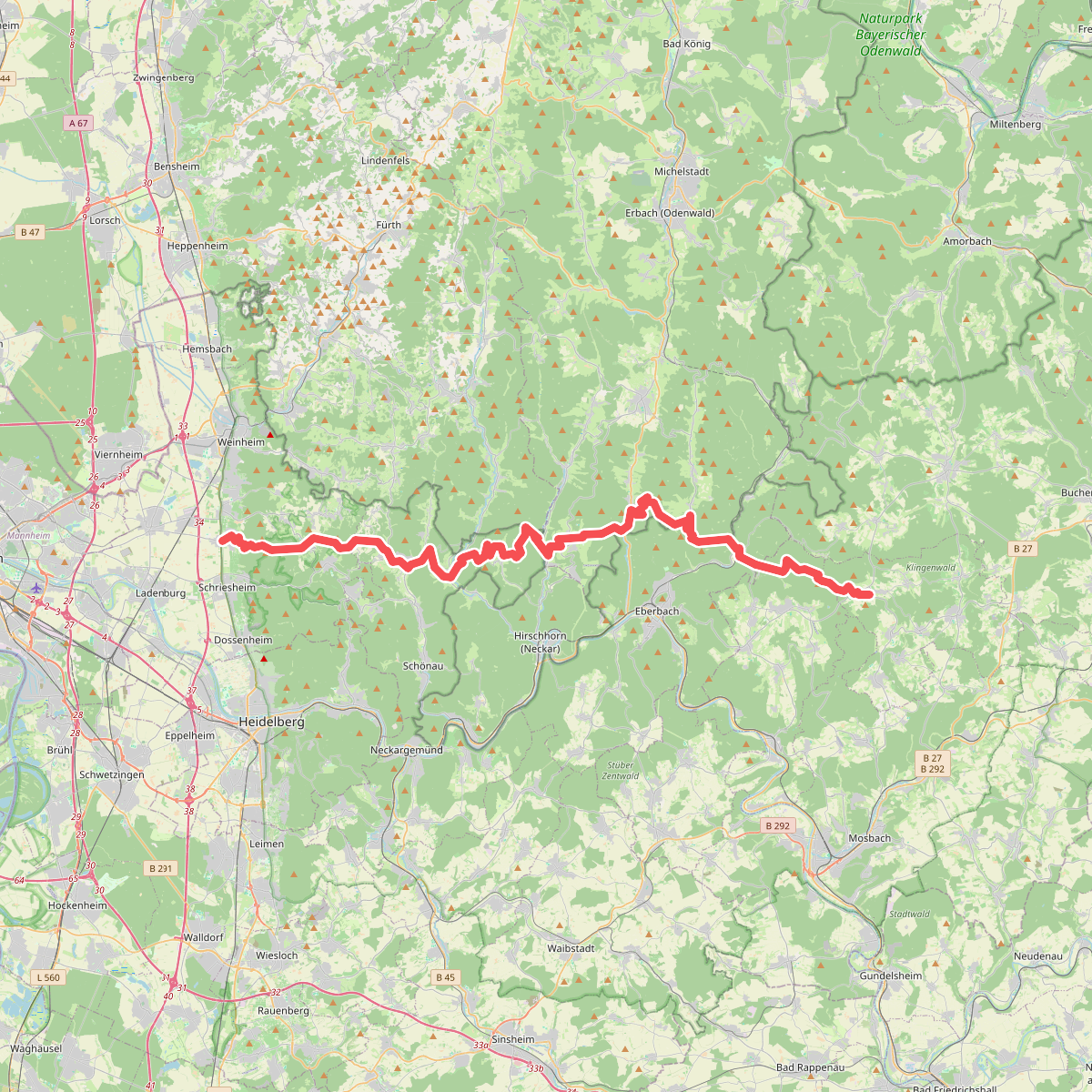
#9. Odenwaldklub HW 32, Leutershausen - Rothenberg - Wagenschwend
Schriesheim,Weinheim,Heiligkreuzsteinach,Heddesbach,Eberbach,Limbach
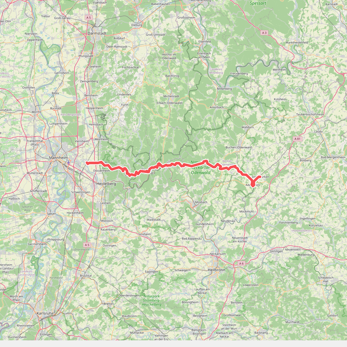
#10. Odenwaldklub HW 34, Ladenburg - Eberbach - Osterburken
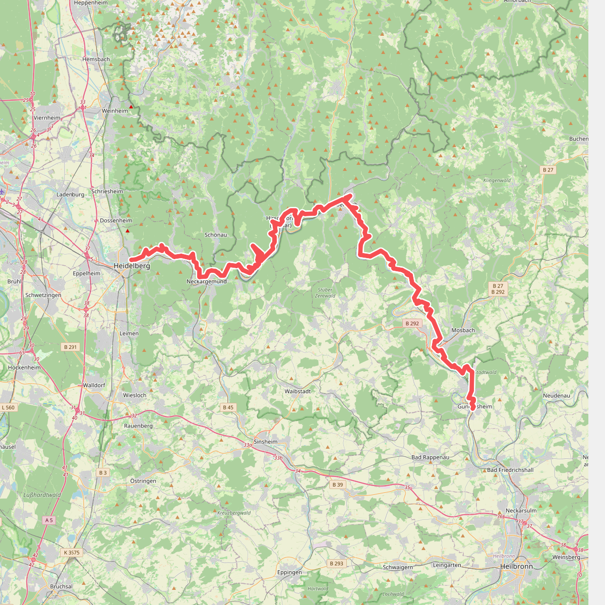
#11. Rechter Neckarrandweg
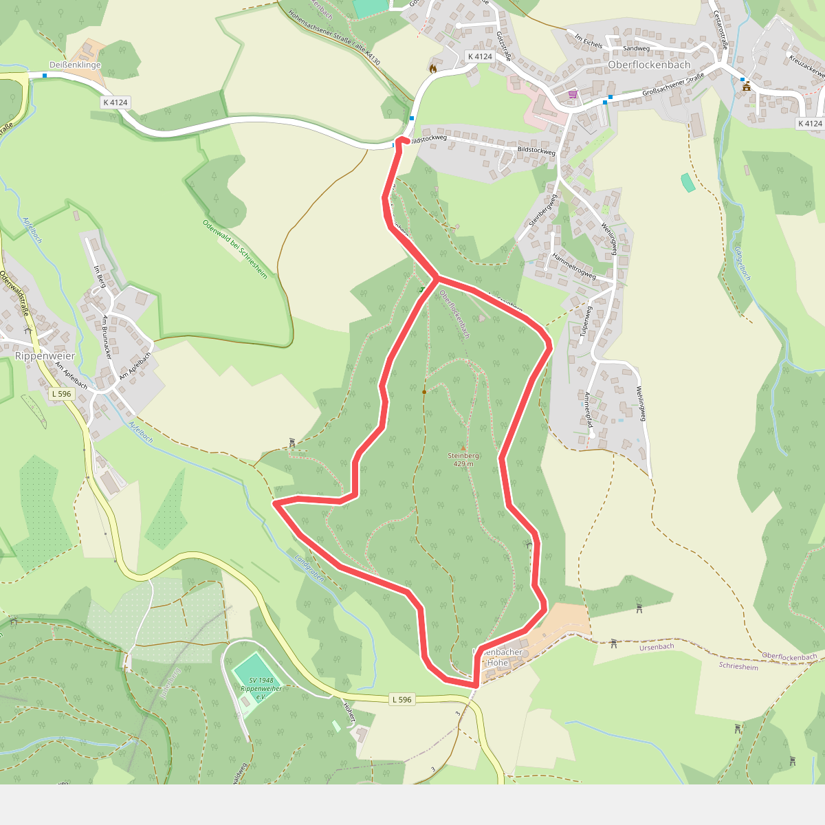
#12. Rund um den Steinberg
Weinheim



