The best hiking routes in Ochranné pásmo národného parku Malá Fatra
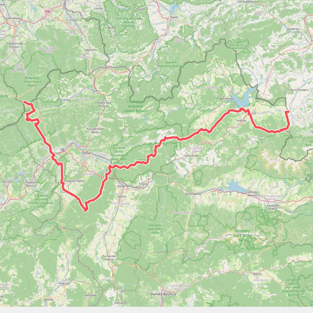
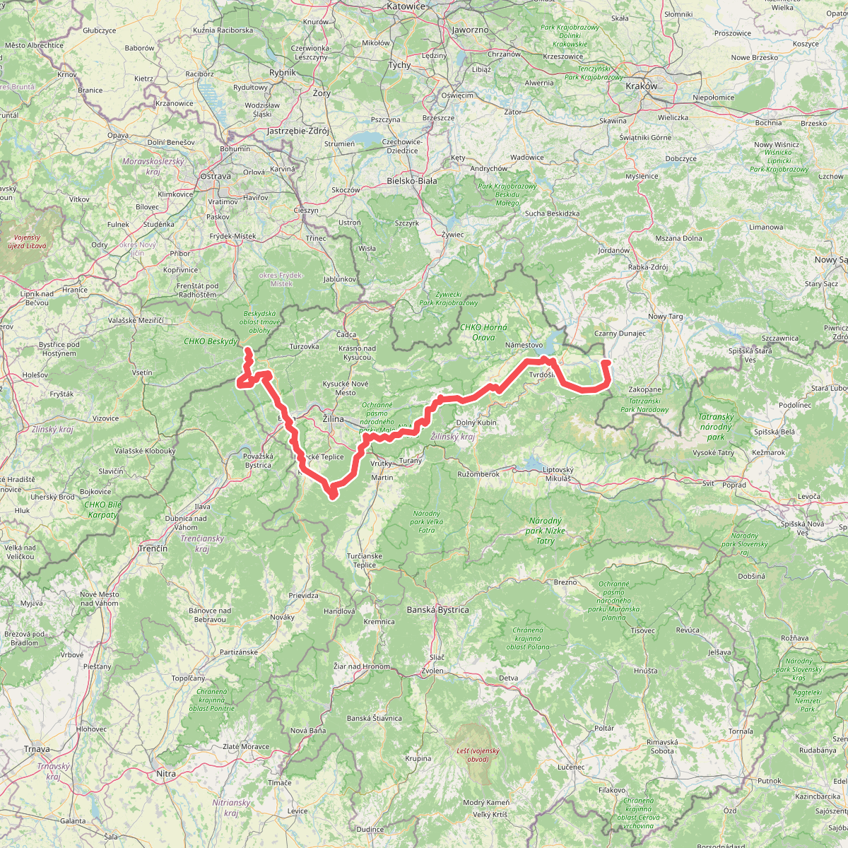
Discover the best walks in Ochranné pásmo národného parku Malá Fatra. 2 routes on the map, with descriptions, photos and GPX.
Managed by S-NP Malá Fatra
About Ochranné pásmo národného parku Malá Fatra
Ochranné pásmo národného parku Malá Fatra serves as the protective buffer zone surrounding the core Malá Fatra mountain range. For a walker, this area offers a distinct landscape transition compared to the rugged, limestone peaks of the inner national park. Here, the terrain is characterized by gentler, rolling foothills, wide pastoral meadows, and dense mixed forests of beech and spruce. You will not find the dramatic rocky crests or deep gorges of the high reserve, but rather a quieter rural landscape shaped by traditional sheep grazing and forestry.
Read more
About Ochranné pásmo národného parku Malá Fatra
Ochranné pásmo národného parku Malá Fatra serves as the protective buffer zone surrounding the core Malá Fatra mountain range. For a walker, this area offers a distinct landscape transition compared to the rugged, limestone peaks of the inner national park. Here, the terrain is characterized by gentler, rolling foothills, wide pastoral meadows, and dense mixed forests of beech and spruce. You will not find the dramatic rocky crests or deep gorges of the high reserve, but rather a quieter rural landscape shaped by traditional sheep grazing and forestry.
Read moreOchranné pásmo národného parku Malá Fatra serves as the protective buffer zone surrounding the core Malá Fatra mountain range. For a walker, this area offers a distinct landscape transition compared to the rugged, limestone peaks of the inner national park. Here, the terrain is characterized by gentler, rolling foothills, wide pastoral meadows, and dense mixed forests of beech and spruce. You will not find the dramatic rocky crests or deep gorges of the high reserve, but rather a quieter rural landscape shaped by traditional sheep grazing and forestry.
Underfoot, the paths in this buffer zone consist largely of packed dirt tracks, grassy meadow trails, and gravel forestry roads, which can become muddy after rain. The walking is generally less steep than in the core park, making it suitable for those who prefer steady climbs through valleys and along lower ridges. You will frequently cross small mountain streams and pass through traditional Slovak villages that border the protected area, providing a glimpse into the local rural life.
In late spring, particularly around May, the meadows are filled with wildflowers, while the autumn months of September and October bring deep color to the beech forests. Because this is a buffer zone, you will encounter more active forestry and agricultural activity than in the core national park, but the trails are often quieter, offering a more solitary walking experience away from the popular peak routes.