The best hiking routes in NP Malá Fatra
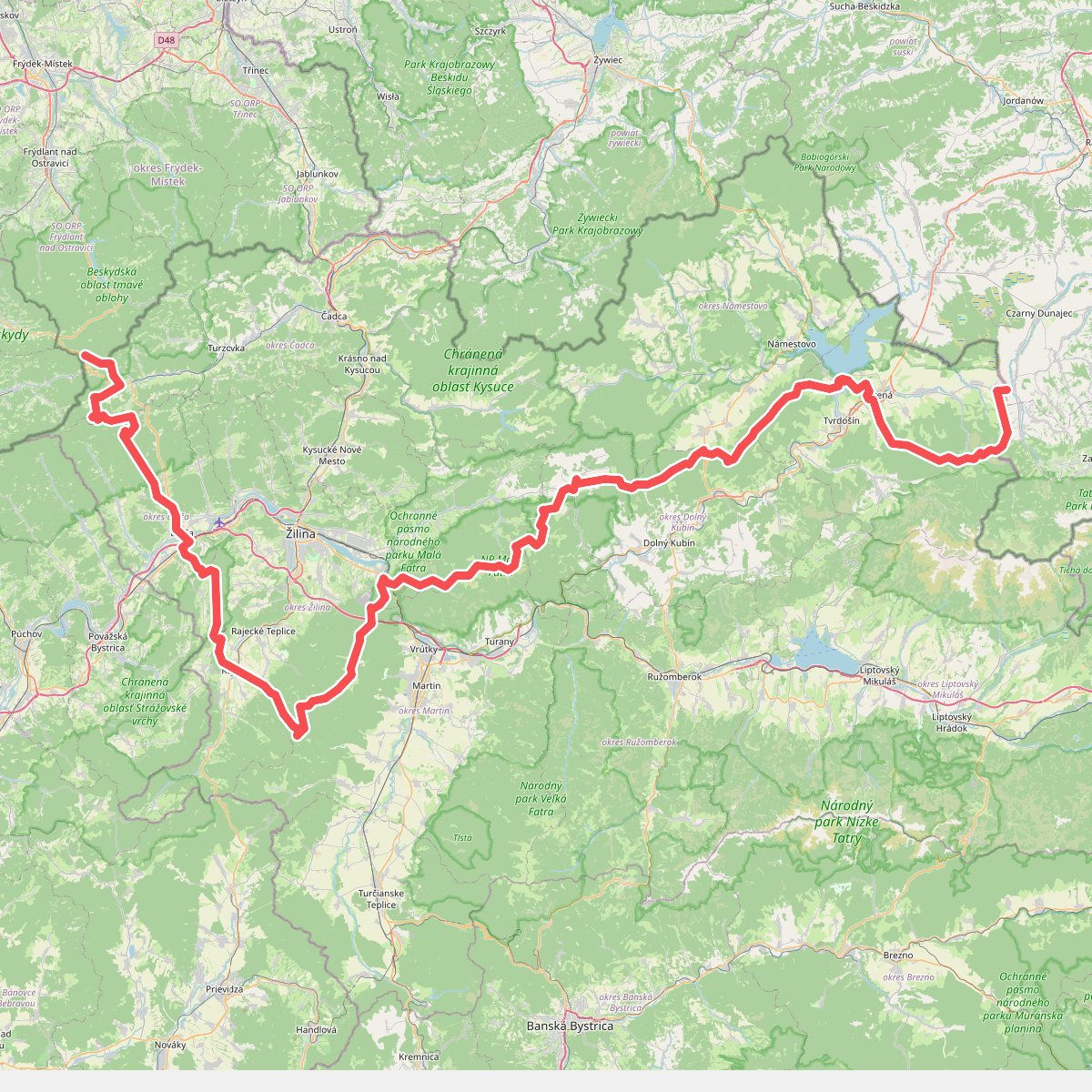
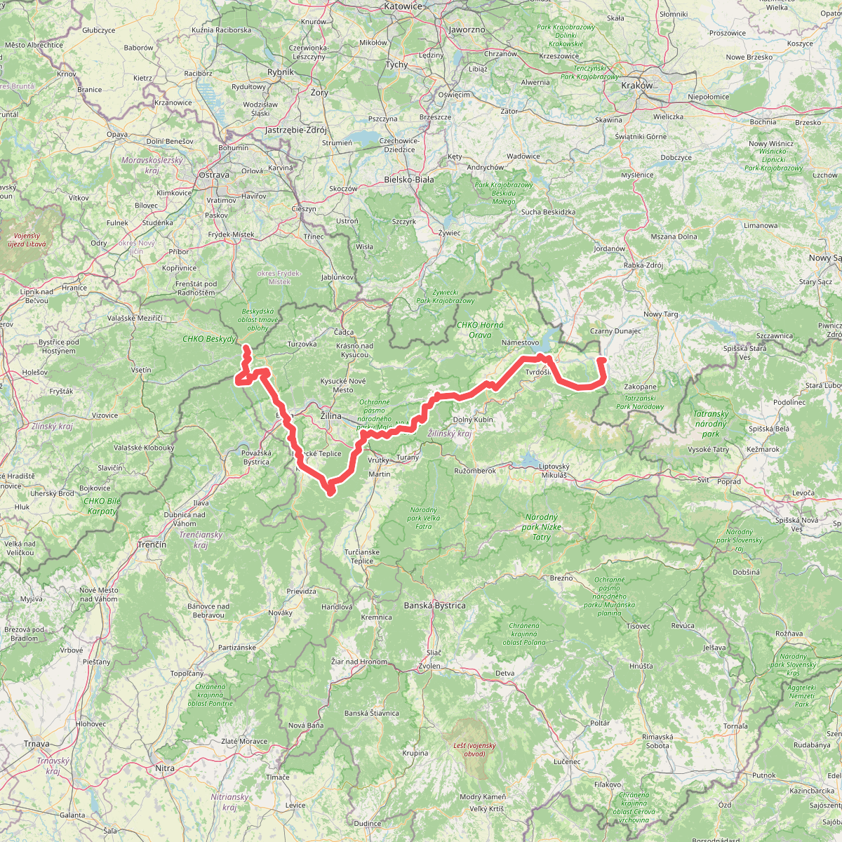
Discover the best walks in NP Malá Fatra. 2 routes on the map, with descriptions, photos and GPX.
Managed by S-NP Malá Fatra
About NP Malá Fatra
NP Malá Fatra is characterized by a sharp division between two distinct geological landscapes. The northern part, around the Vrátna valley, is dominated by rugged dolomite and limestone formations, where walkers encounter steep gorges, ladders, and metal catwalks over rushing streams. In contrast, the main ridge consists of softer granite and crystalline slate, creating a continuous, grassy crest with wide, open views. This ridge is accessible via steep, forest-covered slopes that require steady footwork over exposed tree roots and loose stones.
Read more
About NP Malá Fatra
NP Malá Fatra is characterized by a sharp division between two distinct geological landscapes. The northern part, around the Vrátna valley, is dominated by rugged dolomite and limestone formations, where walkers encounter steep gorges, ladders, and metal catwalks over rushing streams. In contrast, the main ridge consists of softer granite and crystalline slate, creating a continuous, grassy crest with wide, open views. This ridge is accessible via steep, forest-covered slopes that require steady footwork over exposed tree roots and loose stones.
Read moreNP Malá Fatra is characterized by a sharp division between two distinct geological landscapes. The northern part, around the Vrátna valley, is dominated by rugged dolomite and limestone formations, where walkers encounter steep gorges, ladders, and metal catwalks over rushing streams. In contrast, the main ridge consists of softer granite and crystalline slate, creating a continuous, grassy crest with wide, open views. This ridge is accessible via steep, forest-covered slopes that require steady footwork over exposed tree roots and loose stones.
Walking here means choosing between these two terrain types. The limestone gorges, such as Jánošíkove diery, feature wet, iron ladders and narrow wooden planks where the air remains cool and damp even in mid-summer. On the grassy ridge, the path follows a undulating line over peaks like Veľký Rozsutec and Chleb, where the ground is a mix of alpine turf and eroded gravel paths. The transition from the dense beech forests of the lower slopes to the open dwarf pine zone is sudden and physically demanding.
This park is not a rolling plateau; it is a steep mountain range with significant elevation gains over short distances. While the main ridge paths are well-marked with red trail blazes, they are exposed to the elements, and the climbs require physical fitness. The most popular access points near Štefanová can become busy with day-trippers, but the longer ascent routes from the outer valleys offer a much quieter experience through working forestry zones and quiet beech woods.