The best hiking routes in Nemuno deltos regioninis parkas
Discover the best walks in Nemuno deltos regioninis parkas. 4 routes on the map, with descriptions, photos and GPX.
About Nemuno deltos regioninis parkas
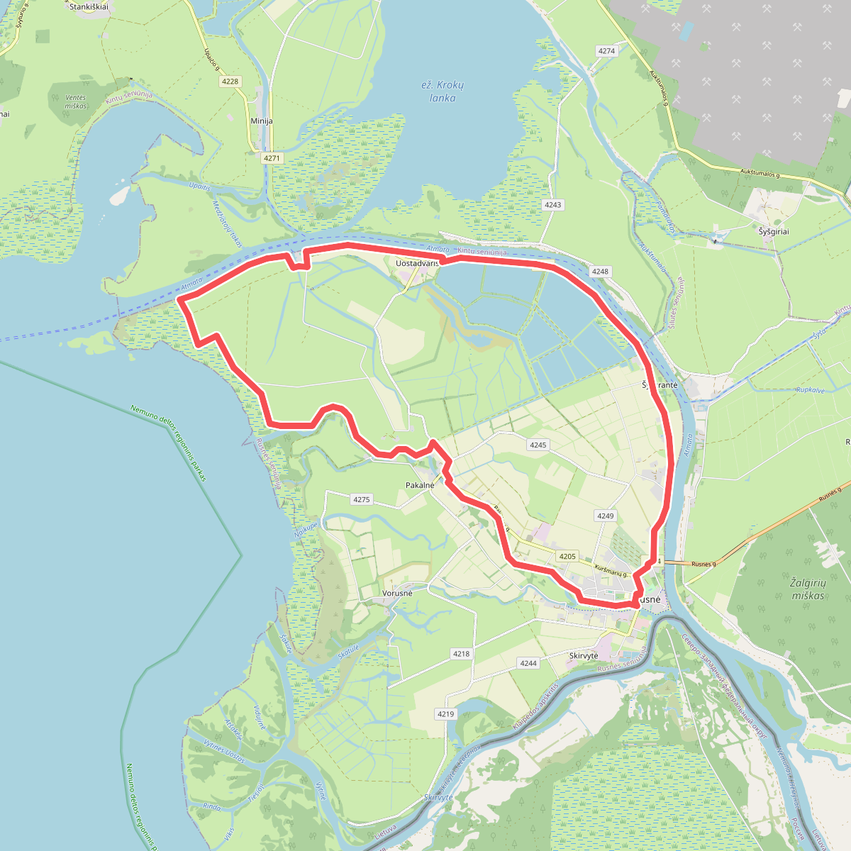
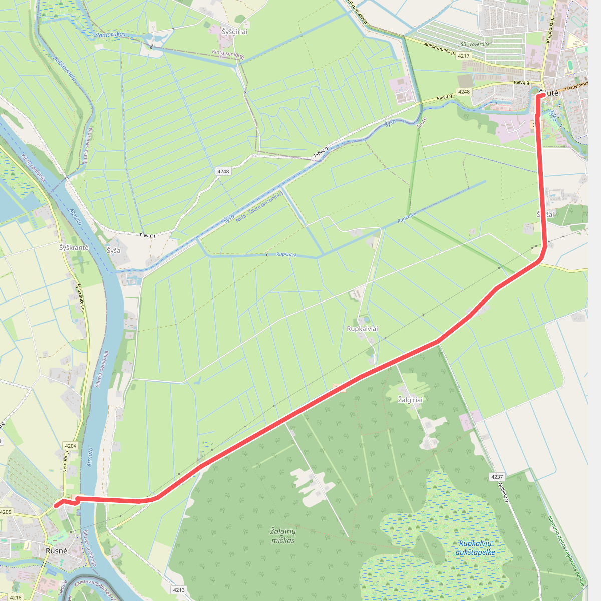
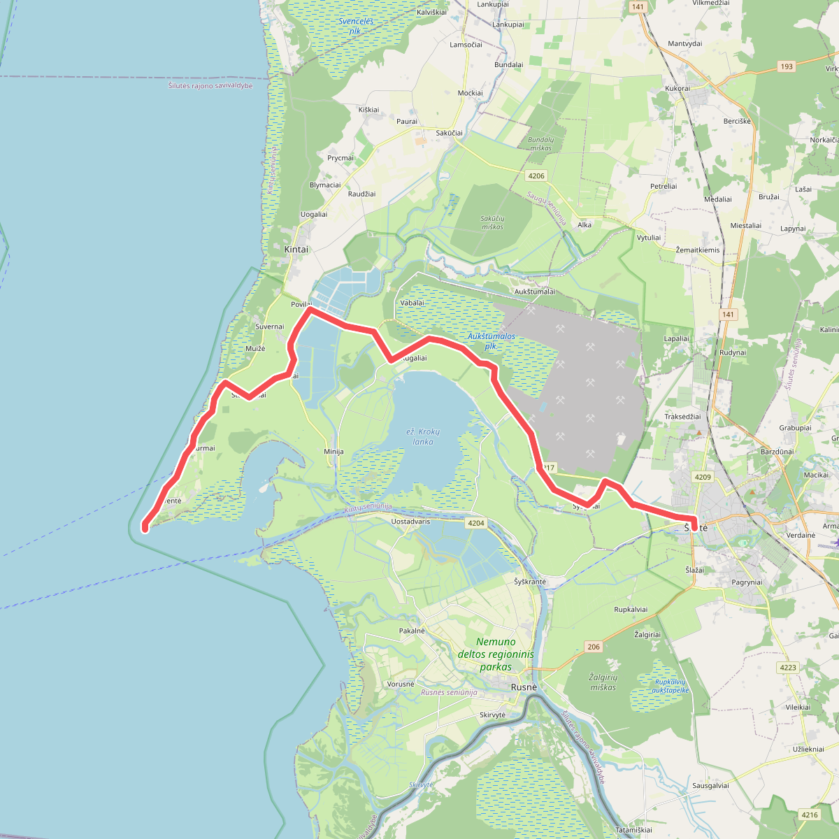
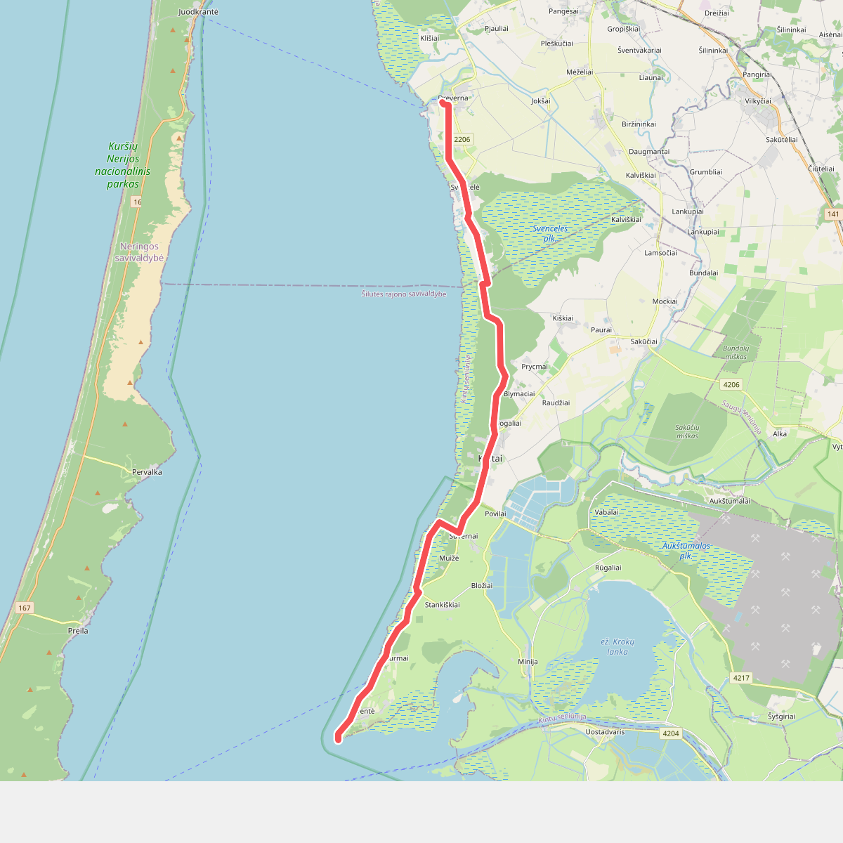
Nemuno deltos regioninis parkas is a vast, flat delta landscape dominated by river branches, alluvial meadows, and extensive peat bogs. Walking here means navigating a terrain shaped entirely by water, where dry land is a premium. You will not find any hills or deep forests; instead, the paths follow raised river embankments, gravel dykes, and wooden boardwalks that cross the swampy ground. The Aukštumala bog trail offers a firm wooden footing over deep peat layers, allowing you to walk directly past open bog pools and stunted pines.
Read more
About Nemuno deltos regioninis parkas
Nemuno deltos regioninis parkas is a vast, flat delta landscape dominated by river branches, alluvial meadows, and extensive peat bogs. Walking here means navigating a terrain shaped entirely by water, where dry land is a premium. You will not find any hills or deep forests; instead, the paths follow raised river embankments, gravel dykes, and wooden boardwalks that cross the swampy ground. The Aukštumala bog trail offers a firm wooden footing over deep peat layers, allowing you to walk directly past open bog pools and stunted pines.
Read moreNemuno deltos regioninis parkas is a vast, flat delta landscape dominated by river branches, alluvial meadows, and extensive peat bogs. Walking here means navigating a terrain shaped entirely by water, where dry land is a premium. You will not find any hills or deep forests; instead, the paths follow raised river embankments, gravel dykes, and wooden boardwalks that cross the swampy ground. The Aukštumala bog trail offers a firm wooden footing over deep peat layers, allowing you to walk directly past open bog pools and stunted pines.
Away from the boardwalks, the underfoot conditions change to grassy dykes and dirt tracks that can be soft and uneven. The landscape is highly open, defined by reeds, willow scrub, and the wide channels of the Nemunas distributaries. In late April and May, the flooded meadows recede, leaving behind damp alluvial plains that are crucial nesting grounds for waterfowl. This is a working landscape of polders, pump stations, and small fishing settlements like Rusnė, where the human presence is closely tied to managing the water levels.
This park is best suited for those who appreciate flat, watery horizons and birdwatching rather than varied forest hiking. The trails are exposed, with little shelter from the elements, and require careful attention to the network of canals that can block off-trail exploration. While the main educational paths are well-marked, walking the longer dykes requires a willingness to retrace your steps along the same linear embankments.