

The best hiking routes in Naturpark Rheinland
Discover the best walks in Naturpark Rheinland. 87 routes on the map, with descriptions, photos and GPX.
About Naturpark Rheinland
Naturpark Rheinland is a diverse landscape shaped by its industrial past and geological transitions, situated just west of the Rhine between Bonn and Cologne. The southern section rises into the wooded hills of the Ville, where former open-cast lignite mining has left behind a dense network of lakes and reforested ridges. Here, you walk on firm, gravelly forest tracks under a canopy of beech and oak, passing quiet waters that have reclaimed the old mining pits. This contrasts sharply with the flat, open agricultural plains further north and west, where wide dirt tracks cut through fertile farmland.
Read more
About Naturpark Rheinland
Naturpark Rheinland is a diverse landscape shaped by its industrial past and geological transitions, situated just west of the Rhine between Bonn and Cologne. The southern section rises into the wooded hills of the Ville, where former open-cast lignite mining has left behind a dense network of lakes and reforested ridges. Here, you walk on firm, gravelly forest tracks under a canopy of beech and oak, passing quiet waters that have reclaimed the old mining pits. This contrasts sharply with the flat, open agricultural plains further north and west, where wide dirt tracks cut through fertile farmland.
Read moreNaturpark Rheinland is a diverse landscape shaped by its industrial past and geological transitions, situated just west of the Rhine between Bonn and Cologne. The southern section rises into the wooded hills of the Ville, where former open-cast lignite mining has left behind a dense network of lakes and reforested ridges. Here, you walk on firm, gravelly forest tracks under a canopy of beech and oak, passing quiet waters that have reclaimed the old mining pits. This contrasts sharply with the flat, open agricultural plains further north and west, where wide dirt tracks cut through fertile farmland.
Underfoot, the terrain is mostly gentle. You will not find steep mountain peaks or deep valleys here, but rather a rolling landscape of low ridges and shallow depressions. The paths are generally wide and well-maintained, though clay sections can become sticky after wet weather, and some lakeside trails feature softer, leaf-strewn ground. Because of the park's proximity to major cities, the central lake areas around Brühl can be busy with cyclists and walkers, while the quieter forest stretches further south offer a more solitary experience.
In autumn, particularly during October, the beech forests of the Ville turn a deep copper, making this the most distinctive time to observe the transition from the dry, sandy ridges down to the damp lake margins. The park is a functional, recovering landscape where the boundary between nature and human engineering is visible at every turn, from the straight-cut drainage channels to the mature, protected woodlands that now cover the old coal seams.
Hiking routes in Naturpark Rheinland (87)
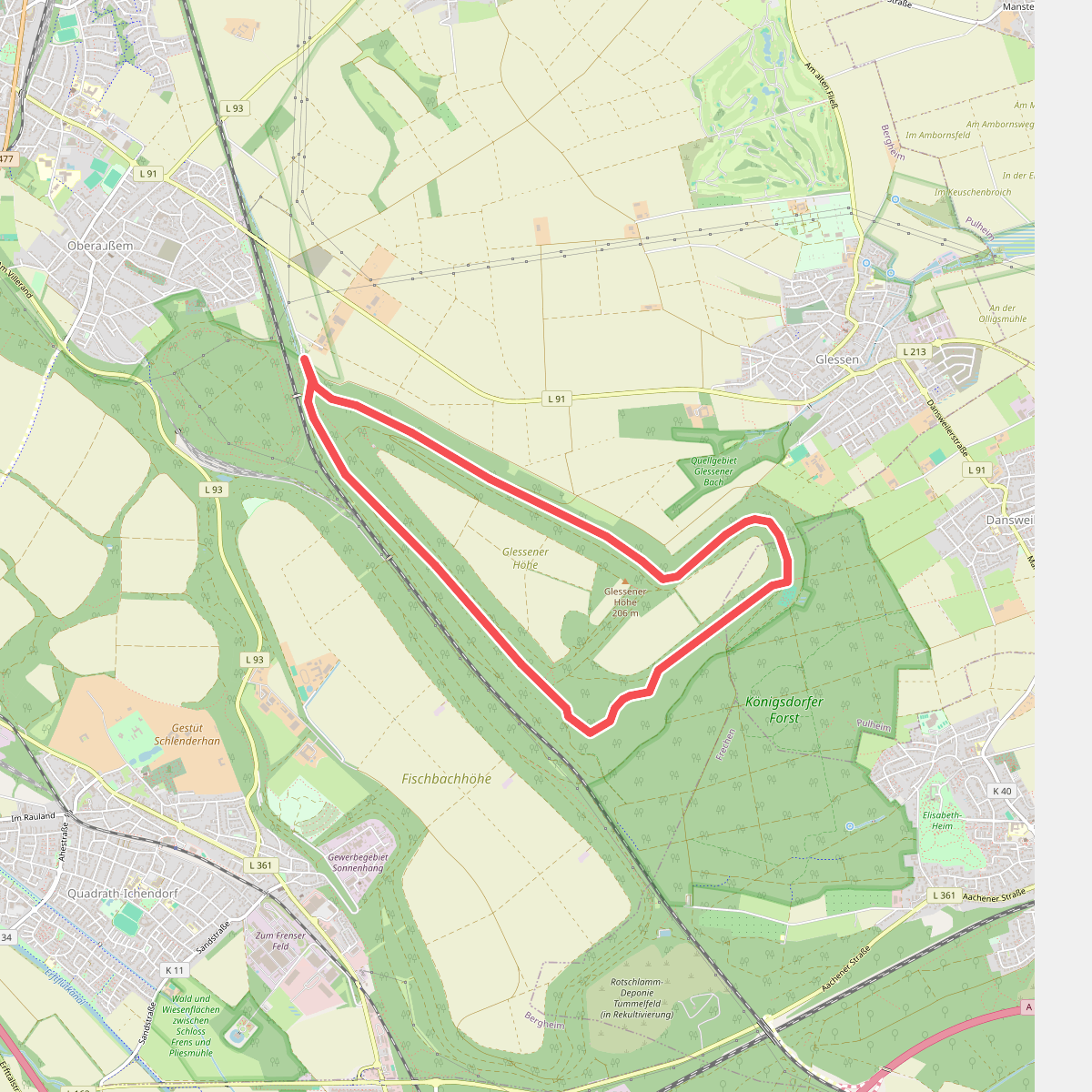
#1. A1 Glessener Höhe
Pulheim,Bergheim
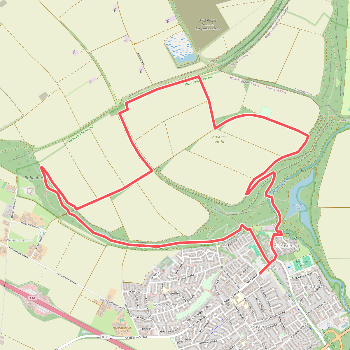
#2. A1 Kasterer Höhe
Bedburg
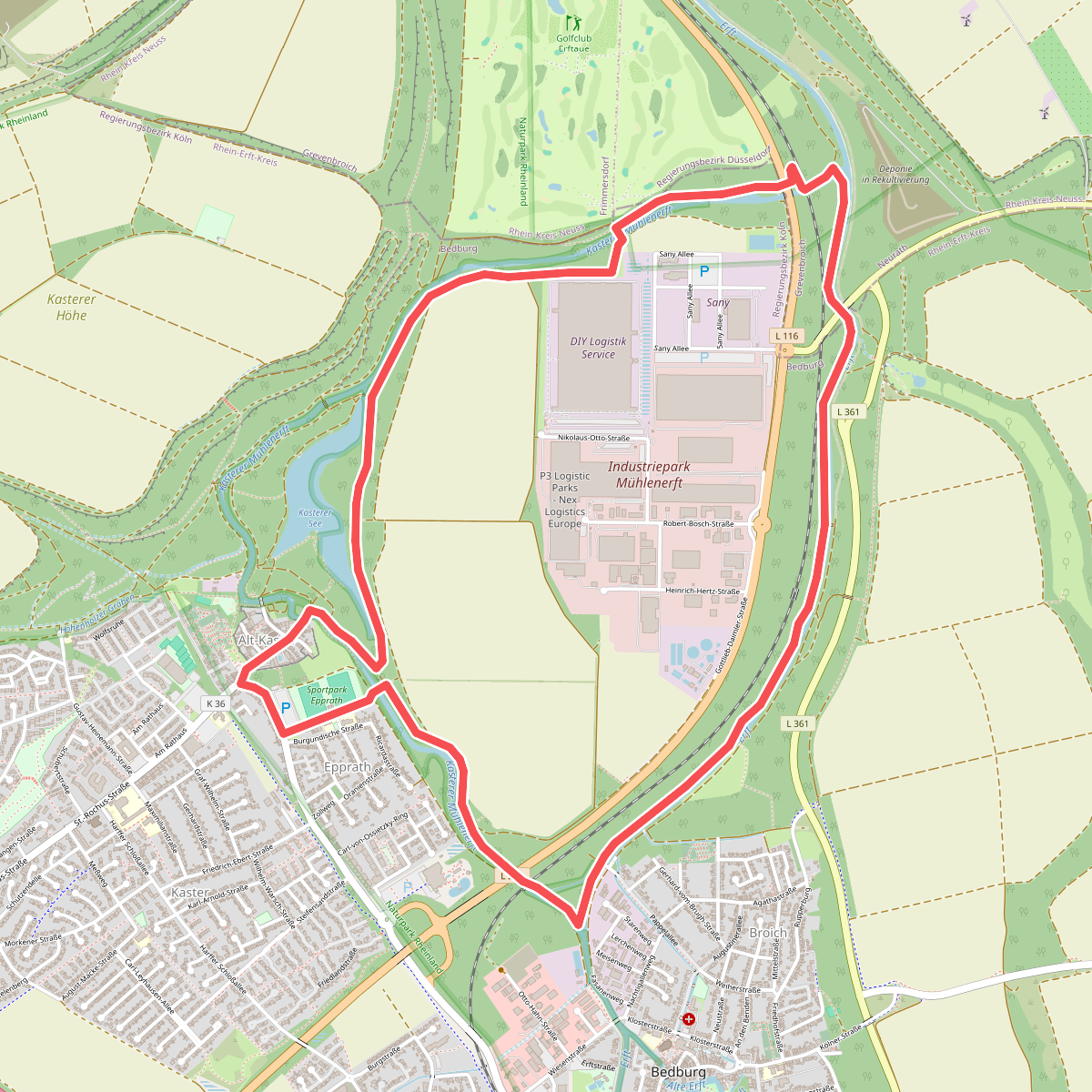
#3. A2 Kasterer See
Bedburg,Grevenbroich
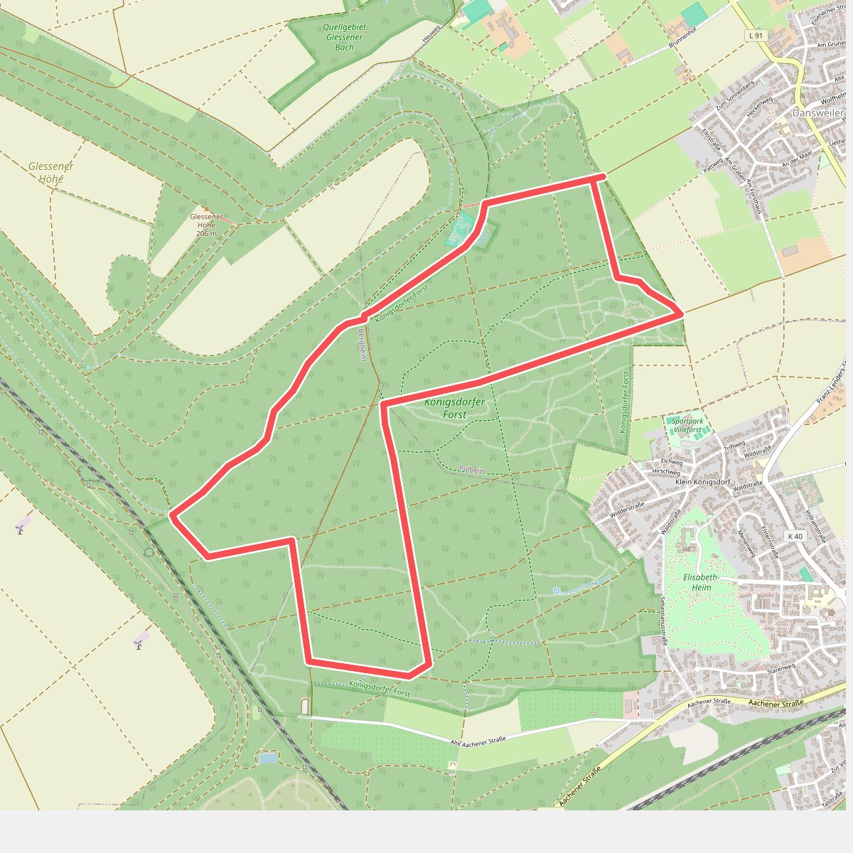
#4. A2 Königsdorfer Forst
Pulheim,Frechen,Bergheim
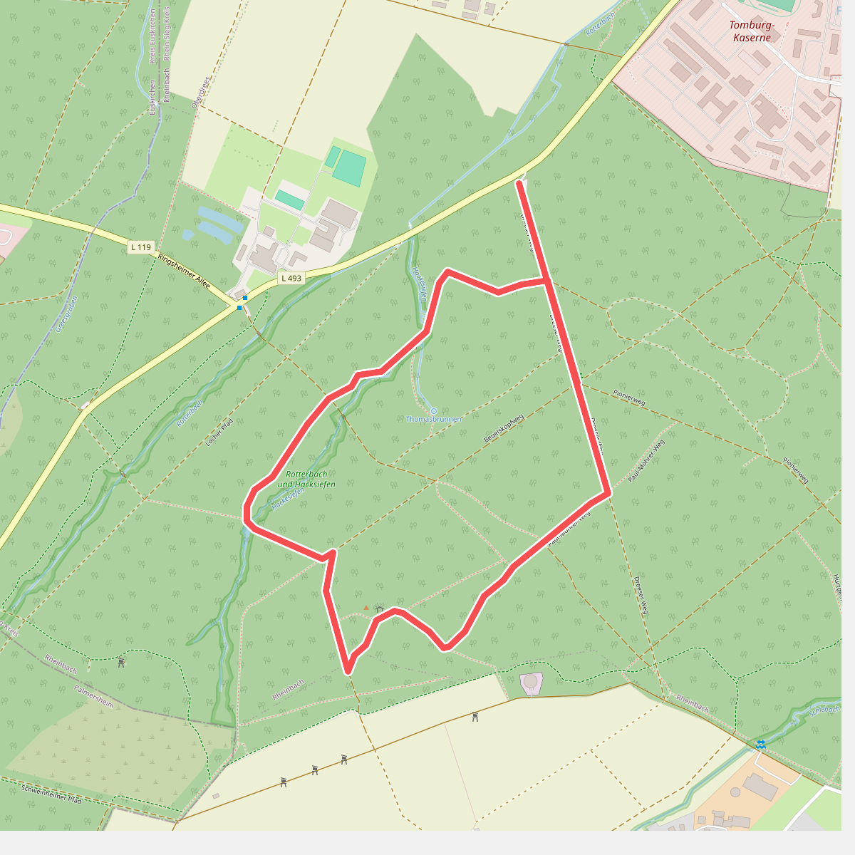
#5. A9 Rundweg
Rheinbach
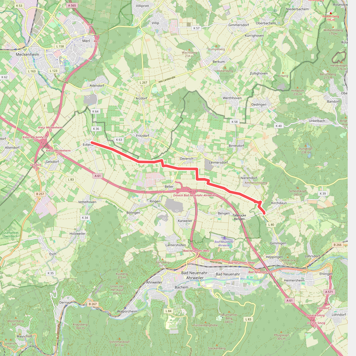
#6. Aachen-Frankfurter Heerstraße
Grafschaft,Bad Neuenahr-Ahrweiler
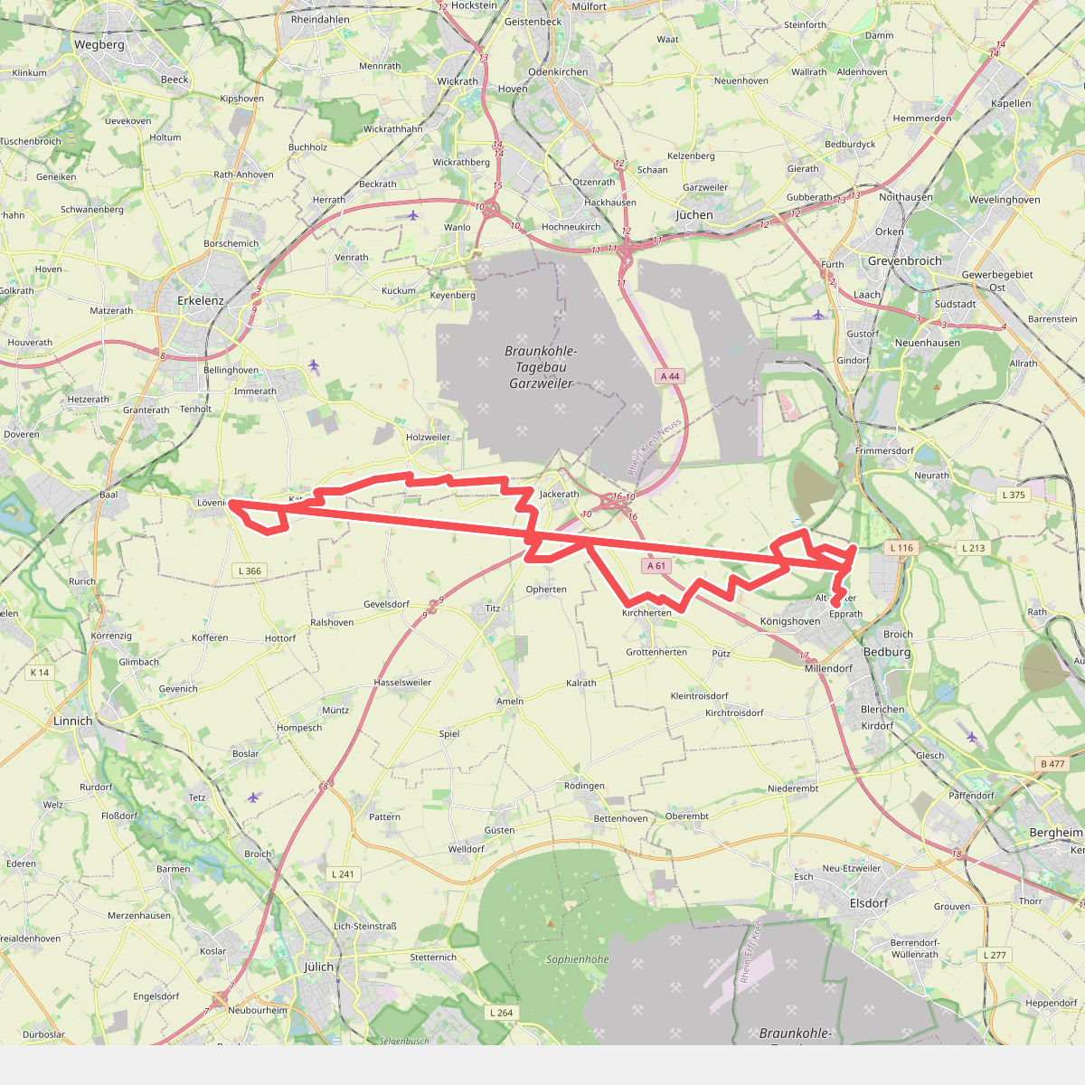
#7. Arnold von Harff Pilgerweg
Bedburg,Erkelenz,Titz
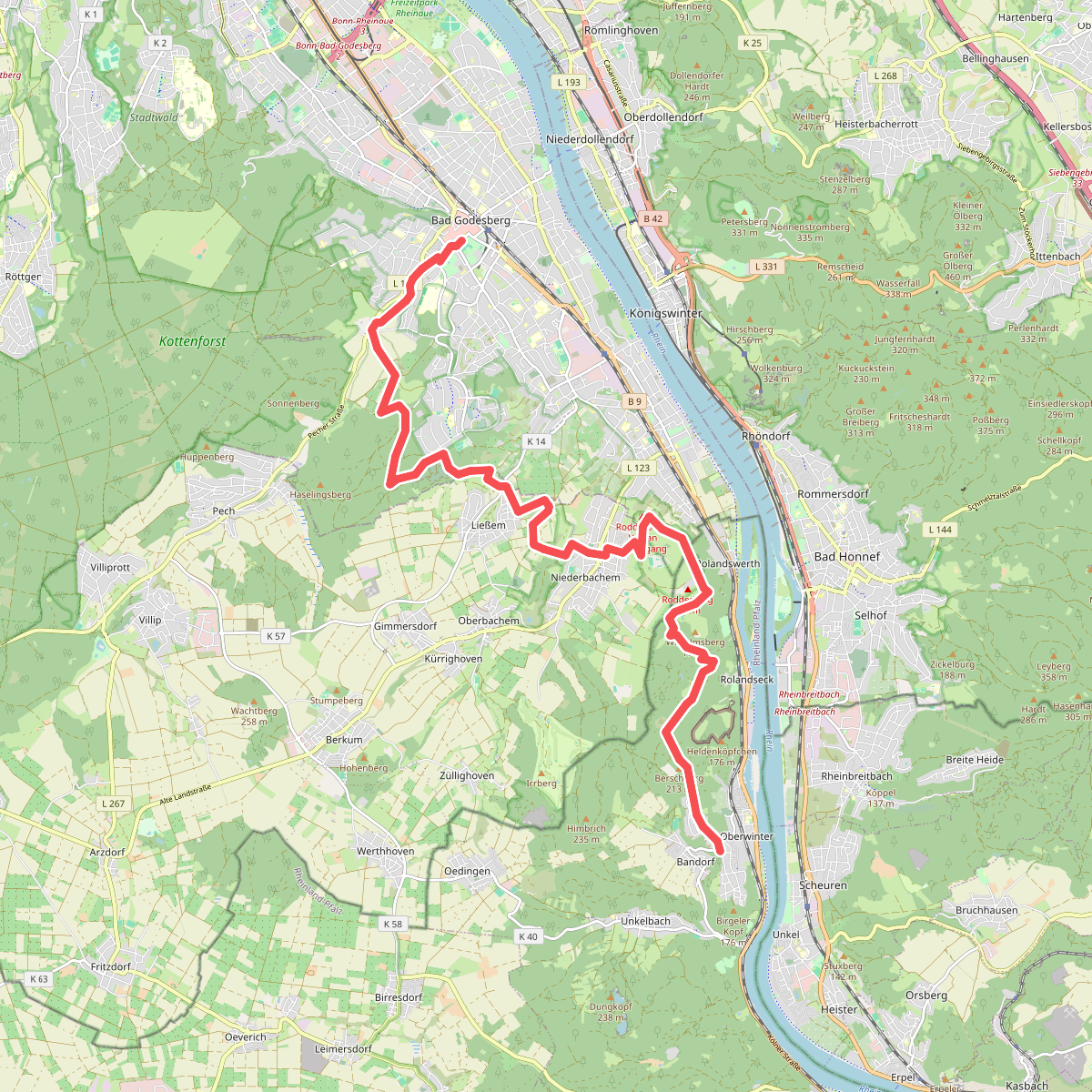
#8. Bad Godesberg - Oberwinter
Bonn,Wachtberg,Remagen
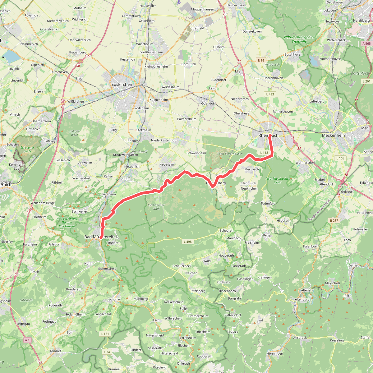
#9. Bad Munstereifel - Rheinbach
Bad Münstereifel,Euskirchen,Rheinbach
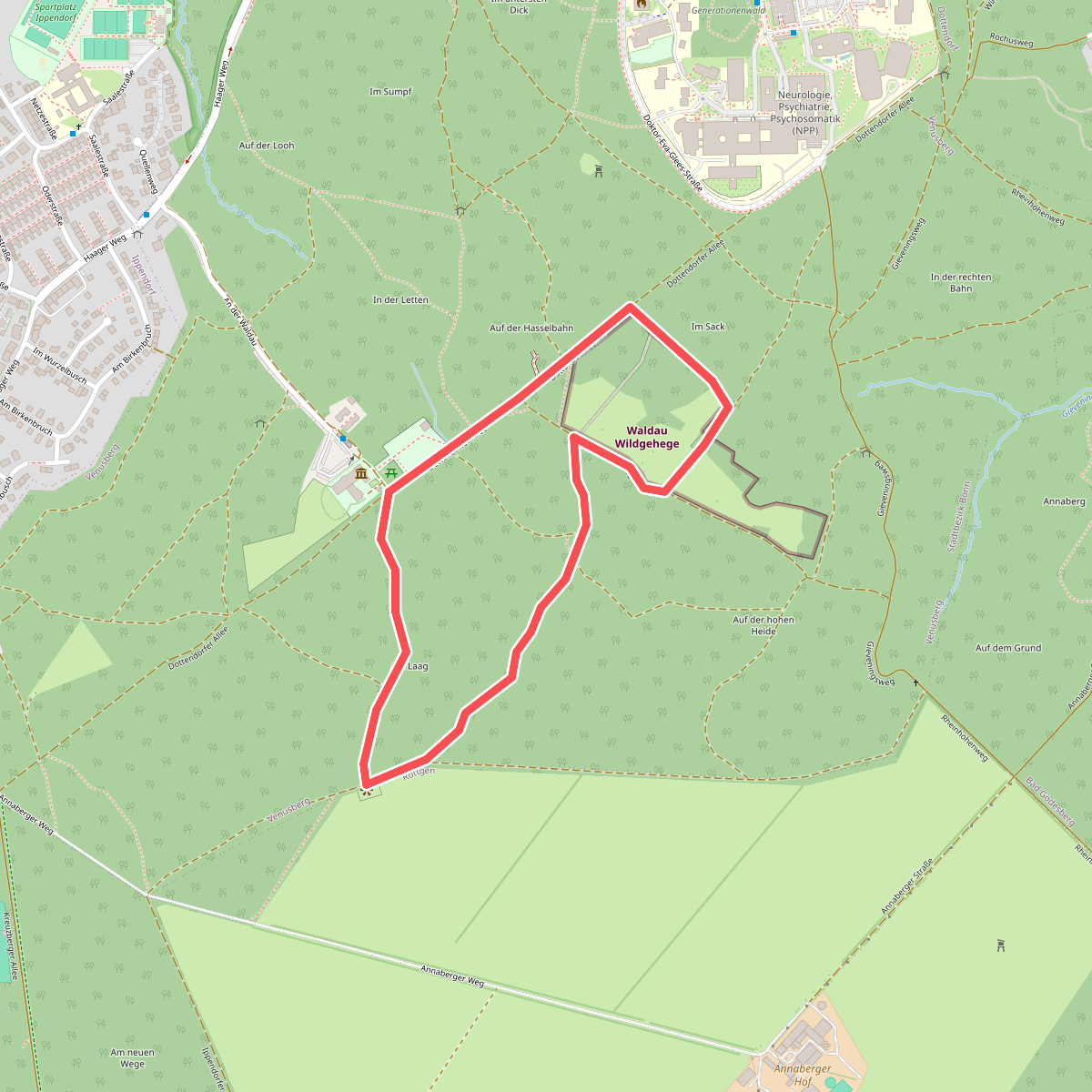
#10. Bonner Weg der Artenvielfalt
Bonn
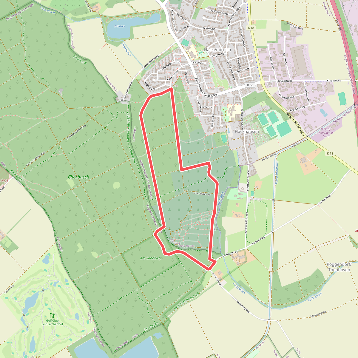
#11. Chorbusch Rundweg A3
Dormagen,Köln
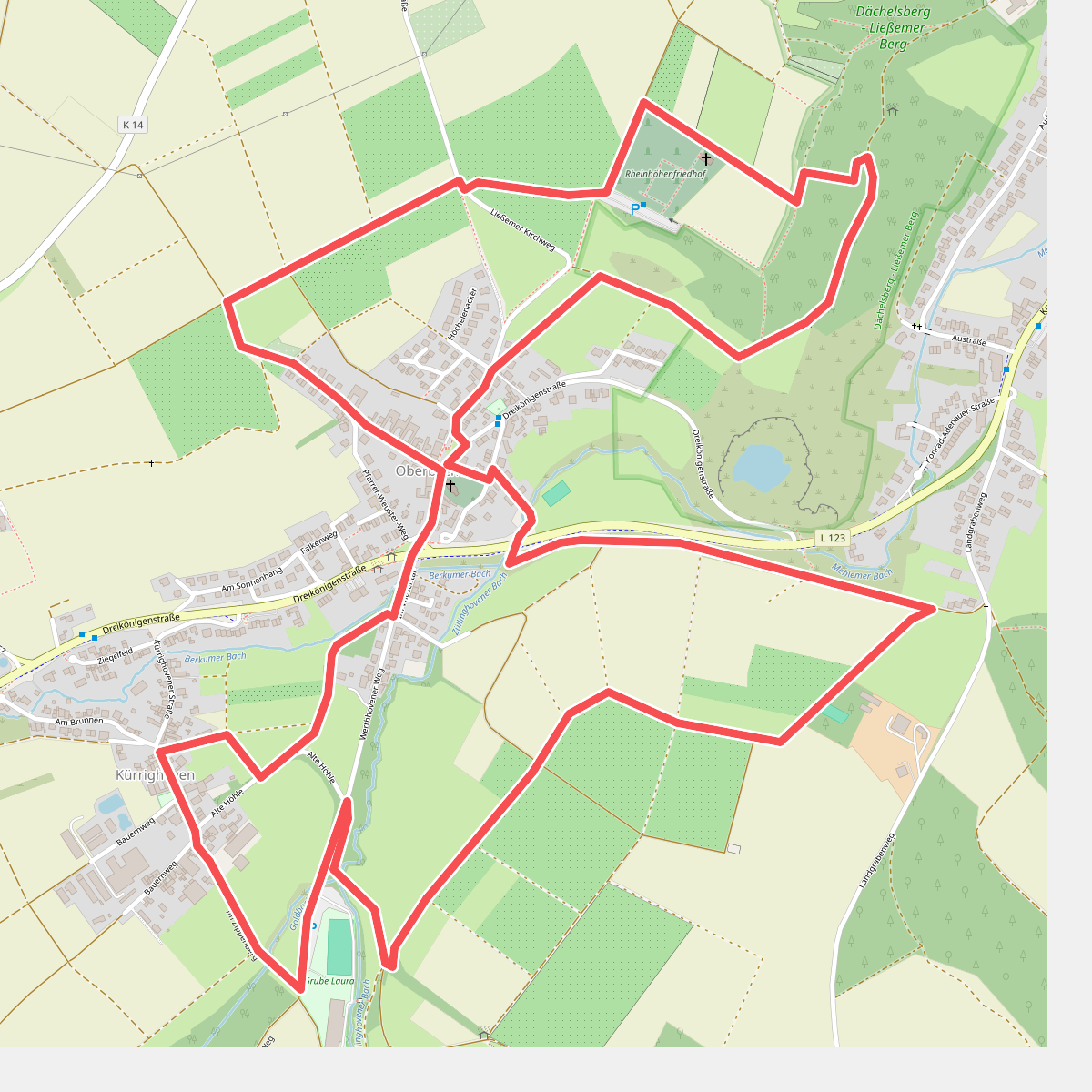
#12. Dächelsberg-Runde
Wachtberg



