

The best hiking routes in Naturpark Hirschwald
Discover the best walks in Naturpark Hirschwald. 40 routes on the map, with descriptions, photos and GPX.
About Naturpark Hirschwald
Naturpark Hirschwald is characterized by its extensive, contiguous mixed deciduous and pine forests, which cover a limestone plateau in the Upper Palatinate Jura. Unlike wetter, boggy regions, this landscape is defined by dry, porous karst geology. Water quickly drains underground, meaning you will not find large natural lakes or rushing rivers here, but rather dry valleys, sinkholes, and gentle limestone slopes. The terrain is rolling rather than mountainous, offering steady, moderate climbs on mostly firm, stony forest tracks and dirt paths.
Read more
About Naturpark Hirschwald
Naturpark Hirschwald is characterized by its extensive, contiguous mixed deciduous and pine forests, which cover a limestone plateau in the Upper Palatinate Jura. Unlike wetter, boggy regions, this landscape is defined by dry, porous karst geology. Water quickly drains underground, meaning you will not find large natural lakes or rushing rivers here, but rather dry valleys, sinkholes, and gentle limestone slopes. The terrain is rolling rather than mountainous, offering steady, moderate climbs on mostly firm, stony forest tracks and dirt paths.
Read moreNaturpark Hirschwald is characterized by its extensive, contiguous mixed deciduous and pine forests, which cover a limestone plateau in the Upper Palatinate Jura. Unlike wetter, boggy regions, this landscape is defined by dry, porous karst geology. Water quickly drains underground, meaning you will not find large natural lakes or rushing rivers here, but rather dry valleys, sinkholes, and gentle limestone slopes. The terrain is rolling rather than mountainous, offering steady, moderate climbs on mostly firm, stony forest tracks and dirt paths.
Underfoot, the paths alternate between soft pine needle carpets under the dense canopy and gravelly forestry tracks. As you walk, you will notice the transition from dark, shaded spruce and pine stands to open, sunny juniper heaths on the south-facing slopes. These dry grasslands are kept open by traditional sheep grazing, creating a stark contrast to the enclosed woodland. In May, these open limestone slopes are particularly distinct as the first wild orchids and specialized dry-soil herbs begin to bloom.
This area is suited for those who prefer quiet, deep-forest walking over dramatic peaks or wide-open water views. The trail network is dense, but the lack of major tourist hubs means the paths are generally quiet, with only the trailheads near historic monastic settlements or small valley villages seeing regular weekend visitors. It is a landscape of subtle details, where the interest lies in the limestone rock formations peeking through the beech leaves and the quiet transition from dense timberland to sunny, dry meadows.
Hiking routes in Naturpark Hirschwald (40)
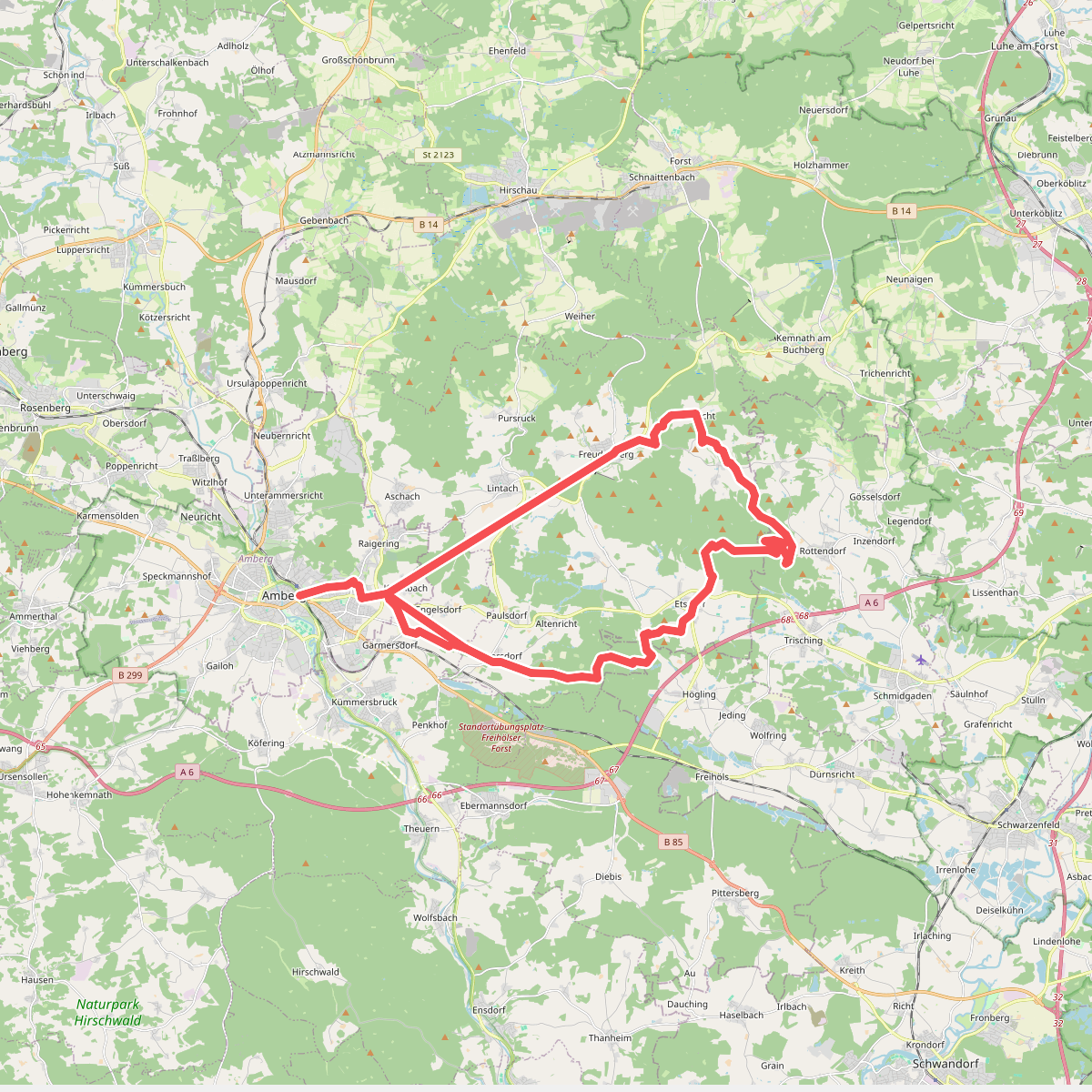
#1. Amberg - Wutschdorf
Freudenberg,Kümmersbruck,Schmidgaden,Fensterbach
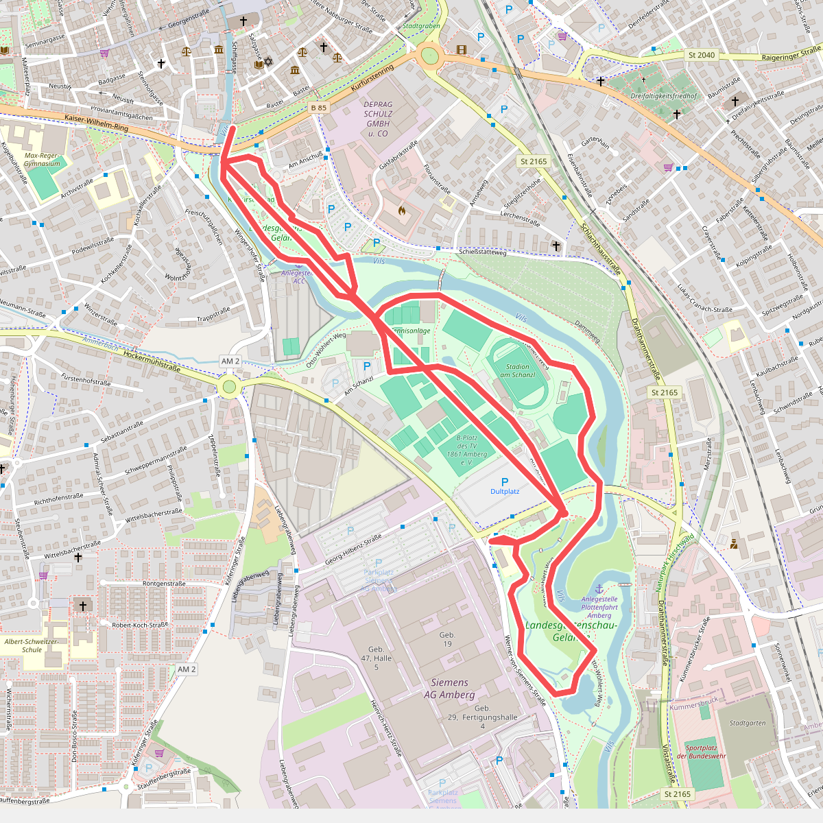
#2. Amberger Skulpturenweg
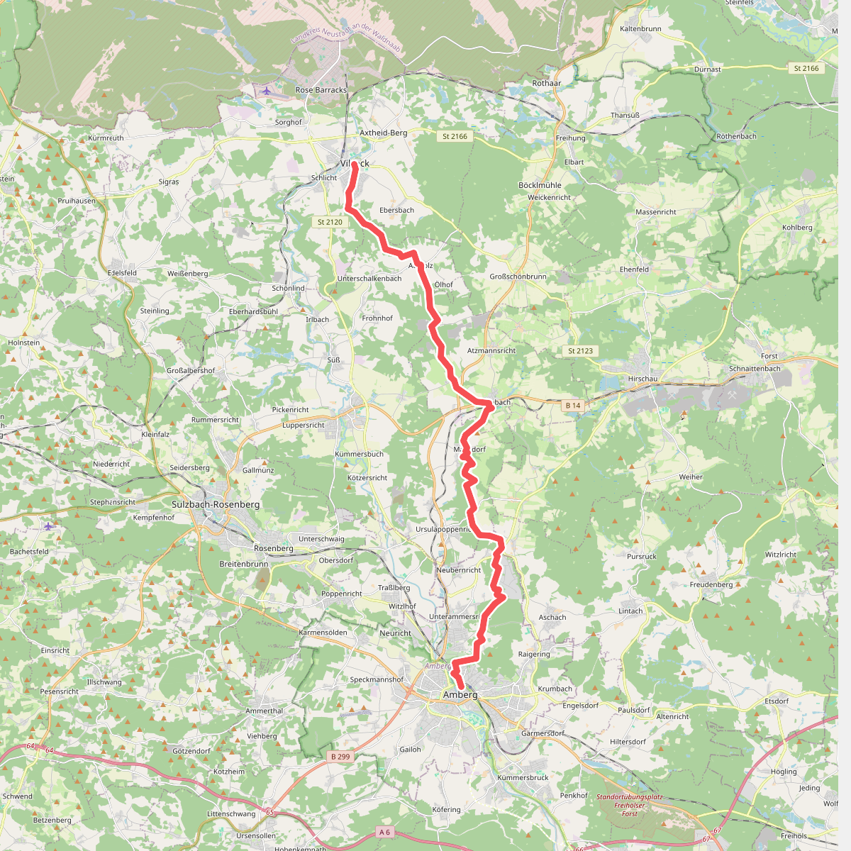
#3. Amberger Weg
Vilseck,Hahnbach,Gebenbach,Freudenberg
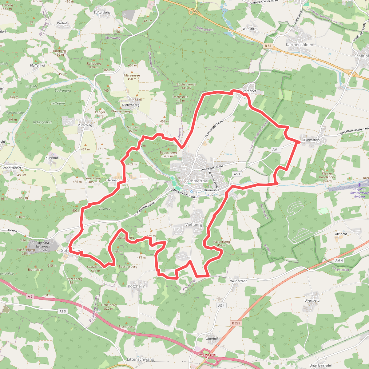
#4. Ammerthaler Runde (Grünpunkt)
Ammerthal,Illschwang,Ursensollen
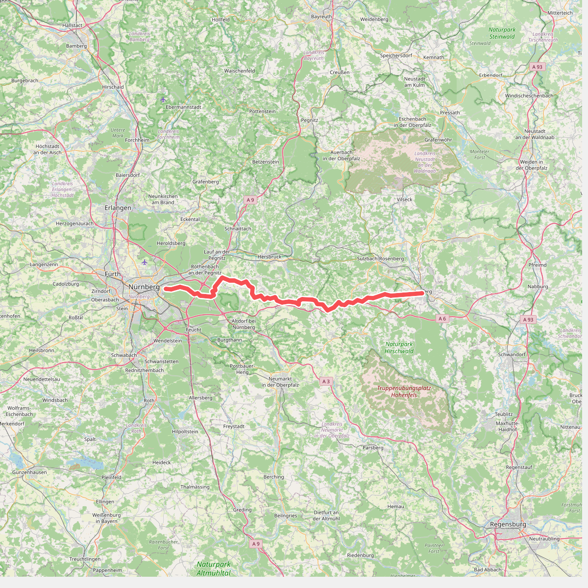
#5. Anton-Leidinger-Weg
Nürnberg,Zerzabelshofer Forst,Laufamholzer Forst,Brunn,Leinburg,Röthenbach an der Pegnitz,Engelthaler Forst,Offenhausen,Lauterhofen,Happurg,Alfeld,Birgland,Illschwang,Ammerthal
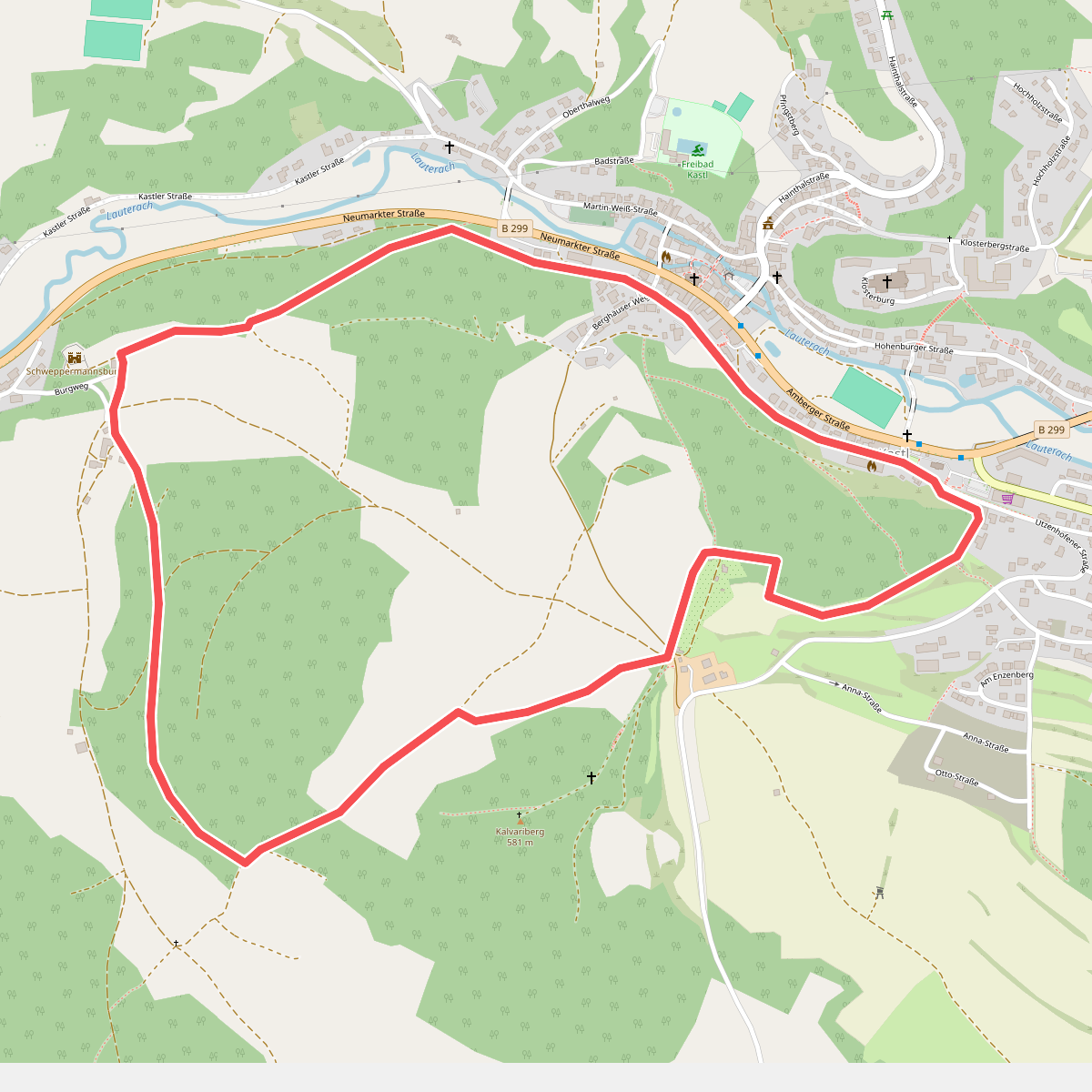
#6. Blauring-Wanderweg
Kastl
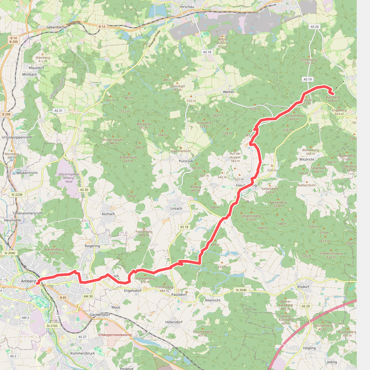
#7. Buchbergweg von Amberg
Kümmersbruck,Freudenberg,Schnaittenbach
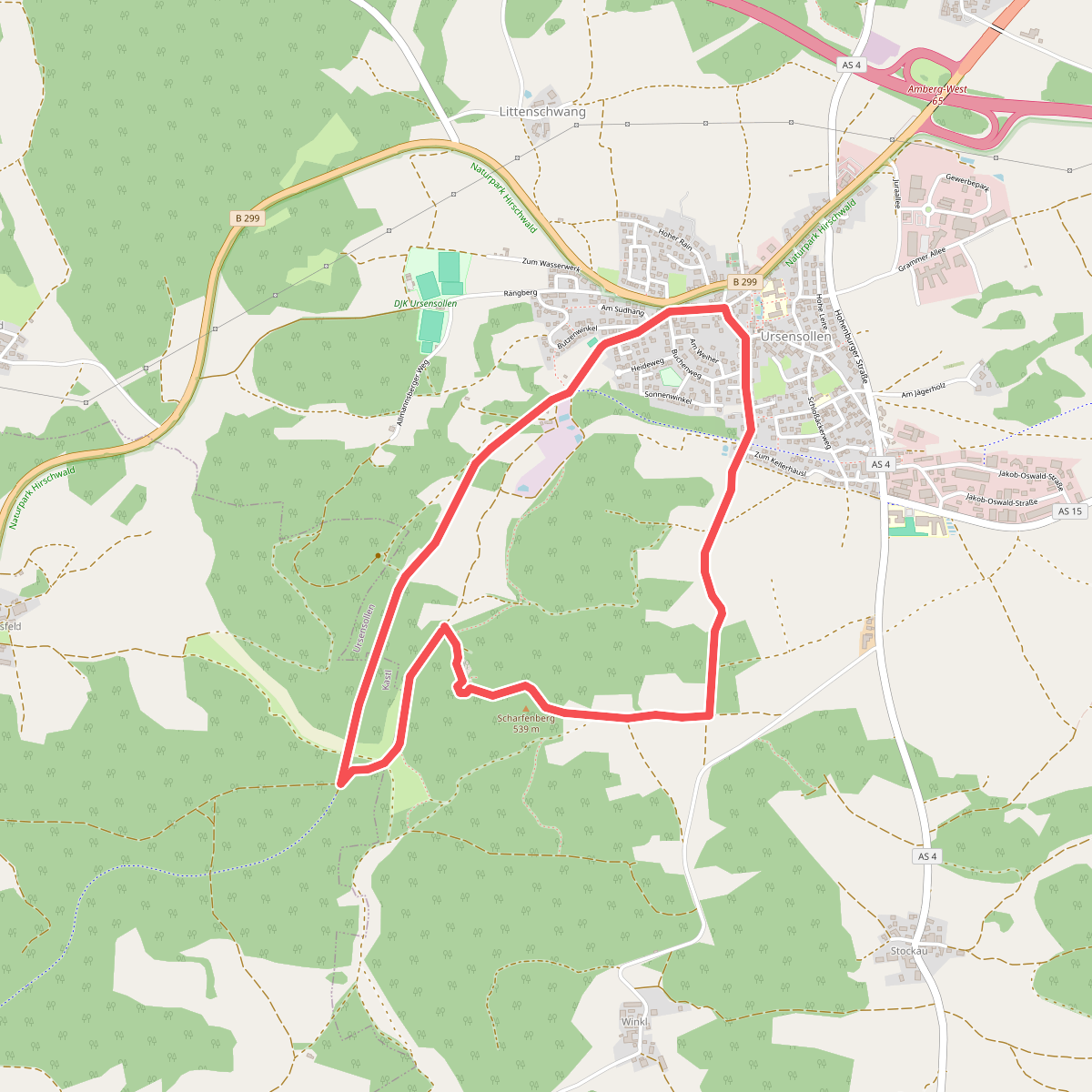
#8. Burgstall-Scharfenberg-Weg (U1)
Ursensollen,Kastl
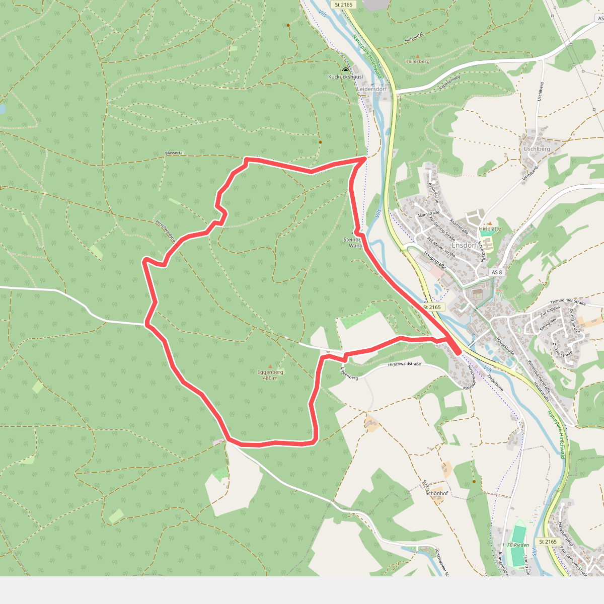
#9. Ensdorfer Runde
Ensdorf
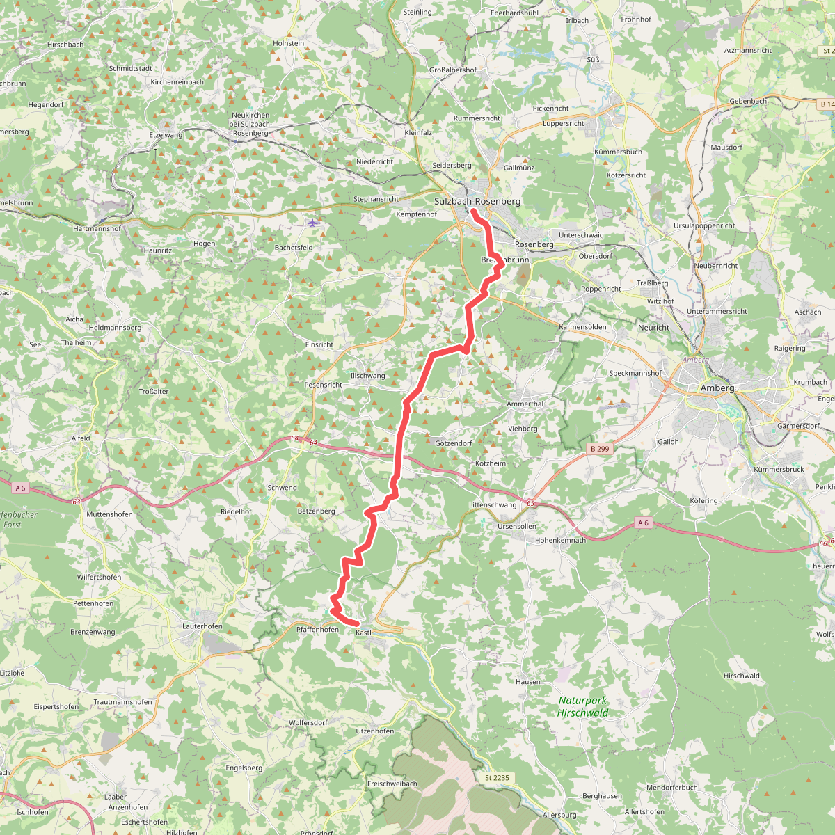
#10. Erzweg Illschwanger Schlaufe
Kastl,Illschwang,Sulzbach-Rosenberg
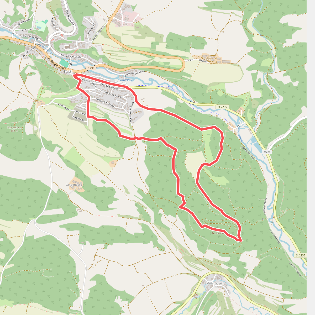
#11. Erzweg Tagestour Kastl / Grünring Rundwanderweg
Kastl
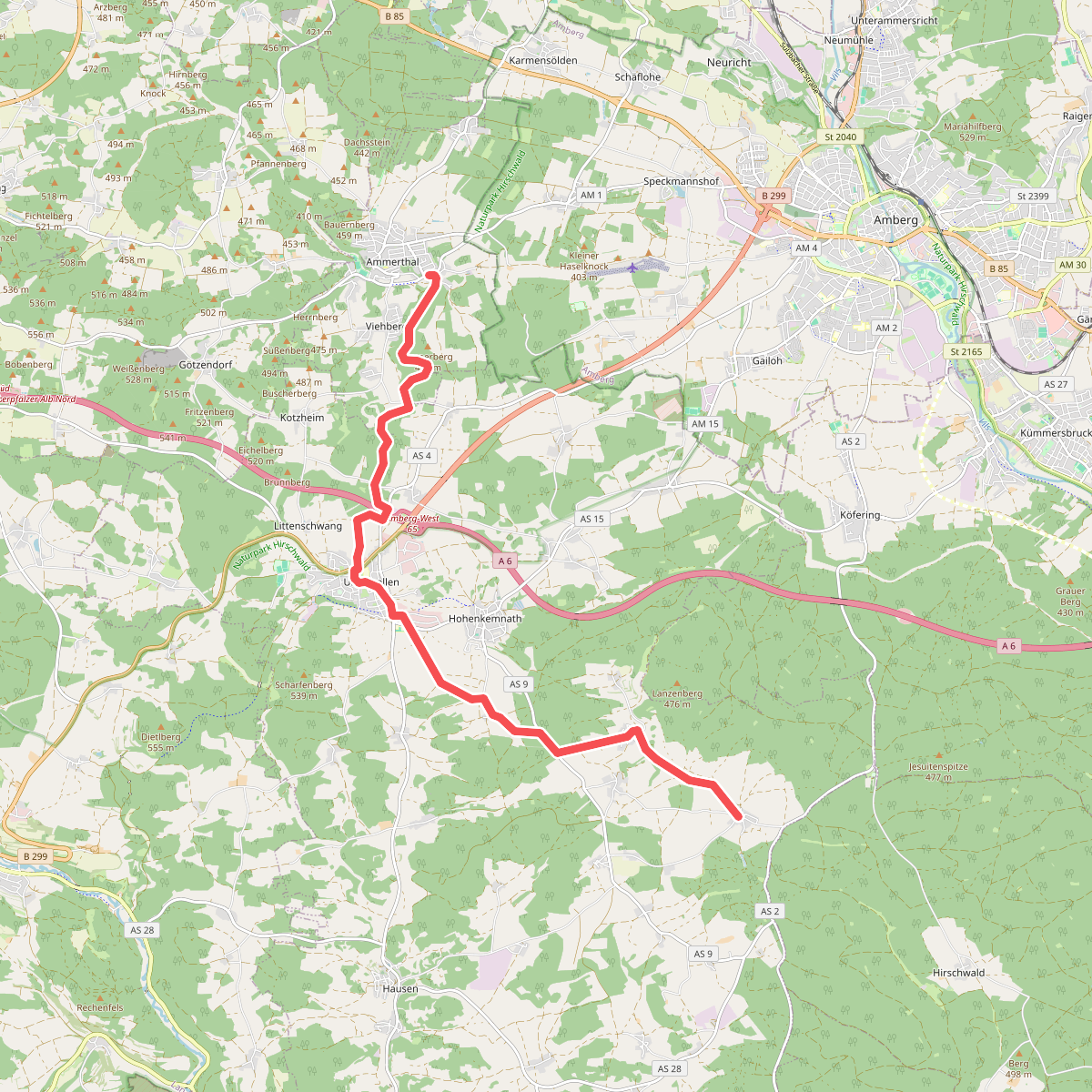
#12. Gelbkreuz
Ammerthal,Ursensollen



