

The best hiking routes in Naturpark Fränkische Schweiz - Frankenjura
Discover the best walks in Naturpark Fränkische Schweiz - Frankenjura. 742 routes on the map, with descriptions, photos and GPX.
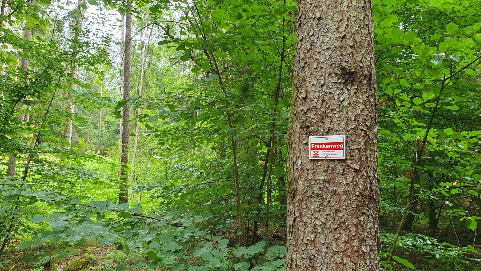
About Naturpark Fränkische Schweiz - Frankenjura
The Naturpark Fränkische Schweiz - Frankenjura is defined by its deeply eroded white Jurassic limestone, which rises sharply from the surrounding valleys to form steep cliffs, towers, and plateau edges. Unlike flatter forest parks, this landscape forces you to navigate constant elevation changes. You will walk through narrow, shaded dolomite valleys where the air remains cool, then climb steep, wooded slopes to reach dry, open karst plateaus. The region is famous for its high density of natural caves, many of which are accessible directly from the trailside, showing how water has dissolved the rock from the inside out.
Read more
About Naturpark Fränkische Schweiz - Frankenjura
The Naturpark Fränkische Schweiz - Frankenjura is defined by its deeply eroded white Jurassic limestone, which rises sharply from the surrounding valleys to form steep cliffs, towers, and plateau edges. Unlike flatter forest parks, this landscape forces you to navigate constant elevation changes. You will walk through narrow, shaded dolomite valleys where the air remains cool, then climb steep, wooded slopes to reach dry, open karst plateaus. The region is famous for its high density of natural caves, many of which are accessible directly from the trailside, showing how water has dissolved the rock from the inside out.
Read moreThe Naturpark Fränkische Schweiz - Frankenjura is defined by its deeply eroded white Jurassic limestone, which rises sharply from the surrounding valleys to form steep cliffs, towers, and plateau edges. Unlike flatter forest parks, this landscape forces you to navigate constant elevation changes. You will walk through narrow, shaded dolomite valleys where the air remains cool, then climb steep, wooded slopes to reach dry, open karst plateaus. The region is famous for its high density of natural caves, many of which are accessible directly from the trailside, showing how water has dissolved the rock from the inside out.
Underfoot, the terrain varies between soft forest soil rich in leaf litter, rocky limestone paths cluttered with loose stones, and exposed tree roots on the steeper climbs. The valley floors often feature small, clear streams like the Wiesent, where the paths run level alongside damp meadows. Once you ascend to the plateaus, the ground becomes drier and firmer, dominated by thin soils over solid rock, supporting juniper heaths and scattered pine stands rather than dense beech forest.
This is a landscape of close horizons and intricate topography rather than sweeping mountain vistas. You will not find high alpine peaks or vast, empty plains here. Instead, the walking is characterized by intimate, enclosed valleys and sudden views of ruined castles perched on rocky outcrops. While popular rock formations and cave entrances near the main road corridors attract visitors, the higher plateau paths and the smaller side valleys offer a much quieter, more solitary walking experience.
Hiking routes in Naturpark Fränkische Schweiz - Frankenjura (742)
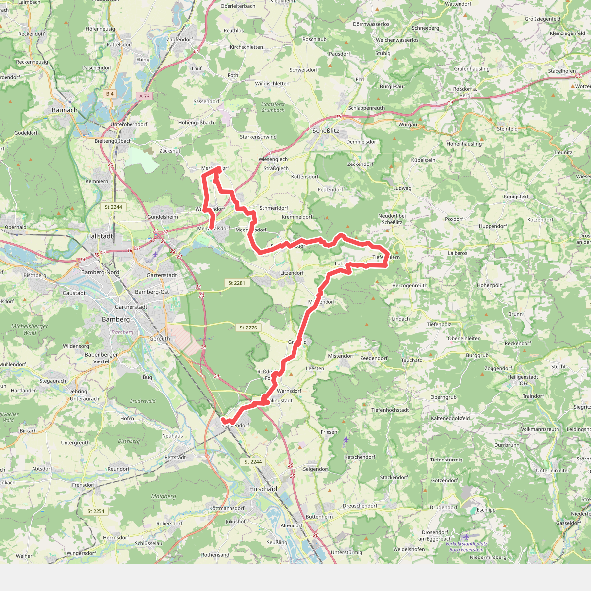
#1. 13 Brauereien Weg
Strullendorf,Geisberger Forst,Litzendorf,Scheßlitz,Memmelsdorf
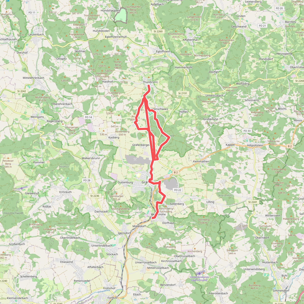
#2. 5-Seidla-Steig
Weißenohe,Gräfenberg
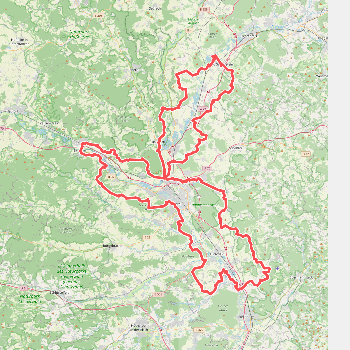
#3. 7-Flüsse-Wanderweg
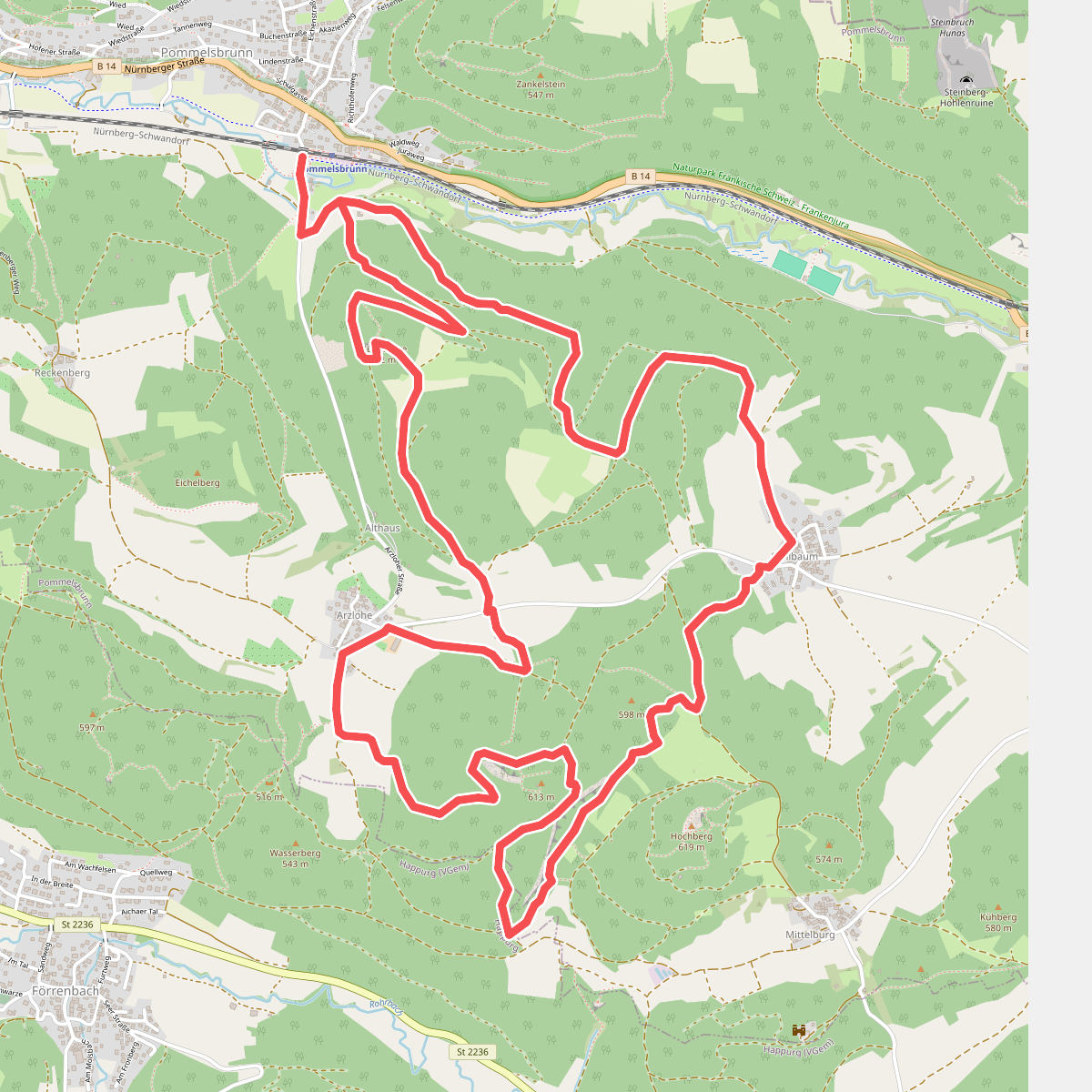
#4. 7-Summits-Weg Dom
Pommelsbrunn,Happurg
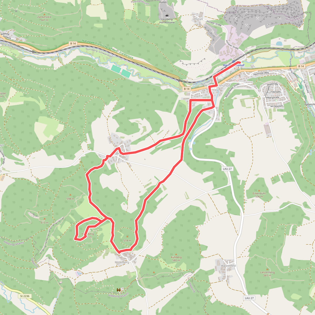
#5. 7-Summits-Weg Hochberg
Pommelsbrunn
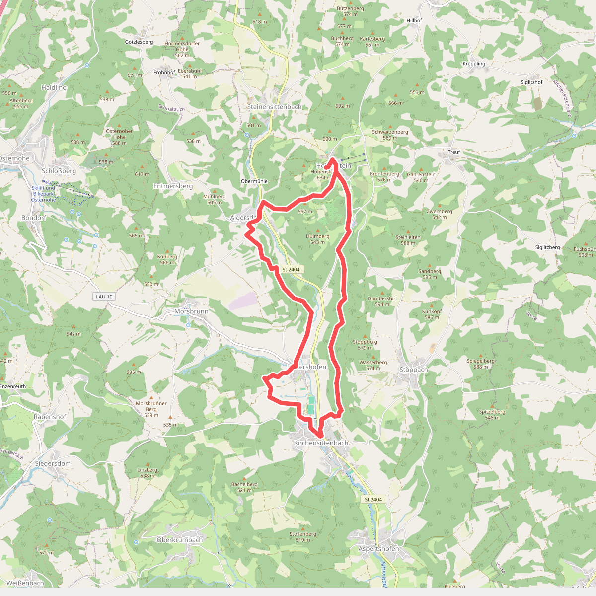
#6. 7-Summits-Weg Hohenstein
Kirchensittenbach
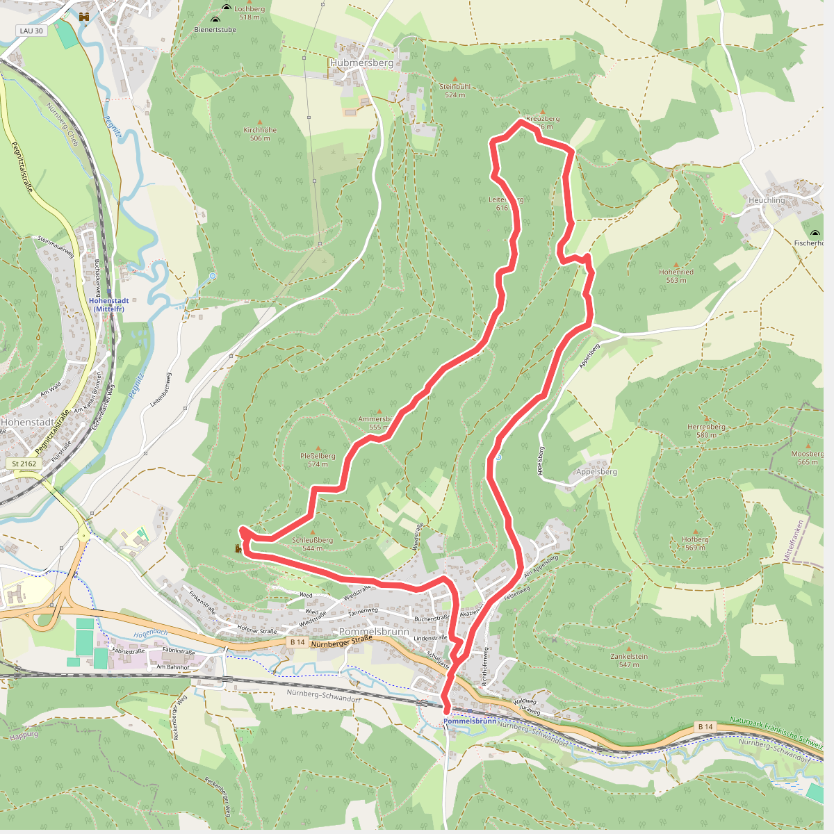
#7. 7-Summits-Weg Leitenberg
Pommelsbrunn
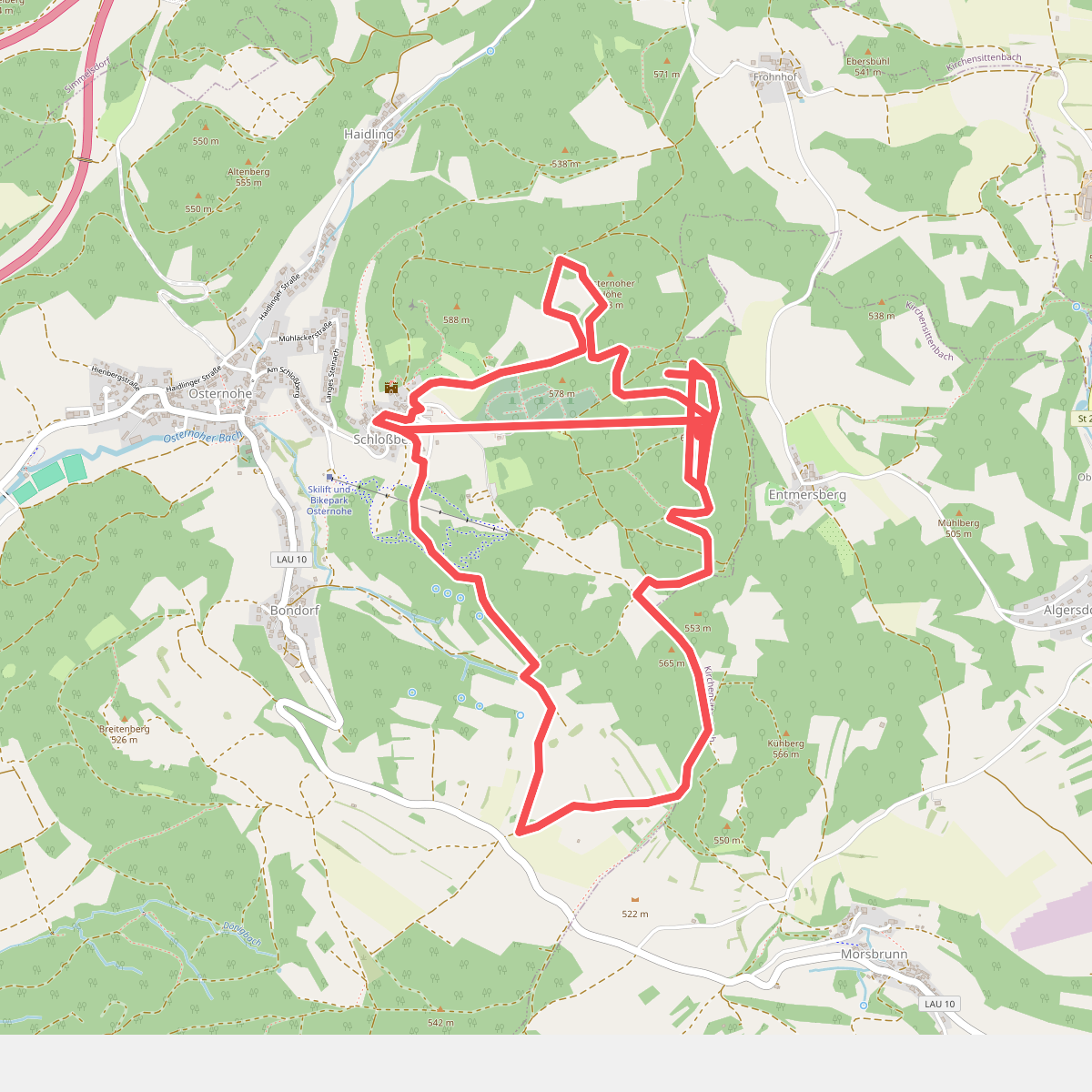
#8. 7-Summits-Weg Windburg
Schnaittach,Kirchensittenbach
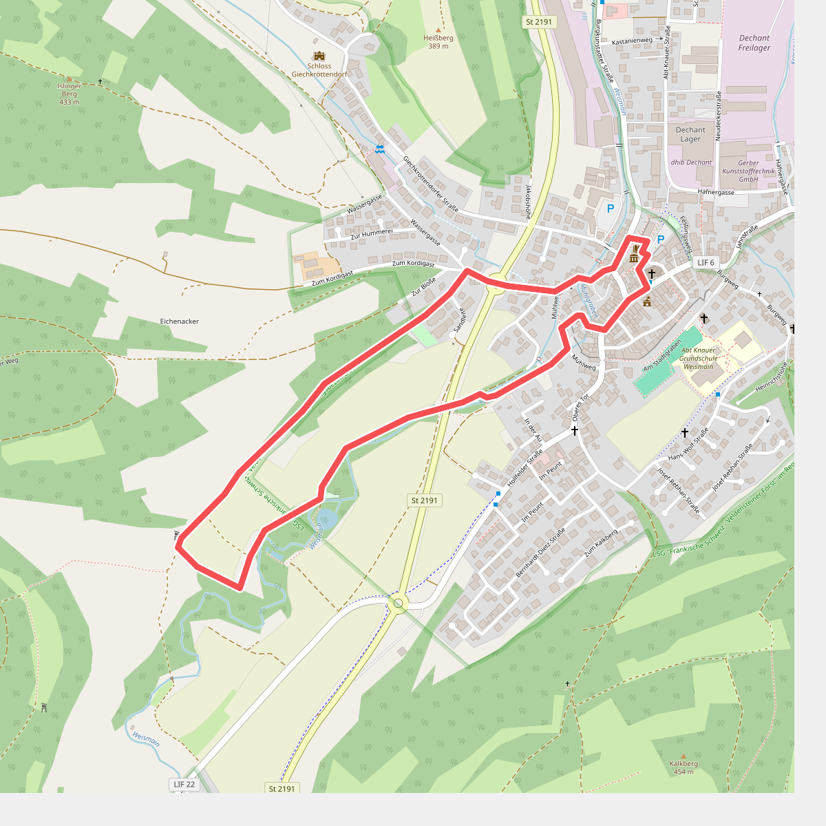
#9. Adolf-Kolping-Gedächtnisweg
Weismain
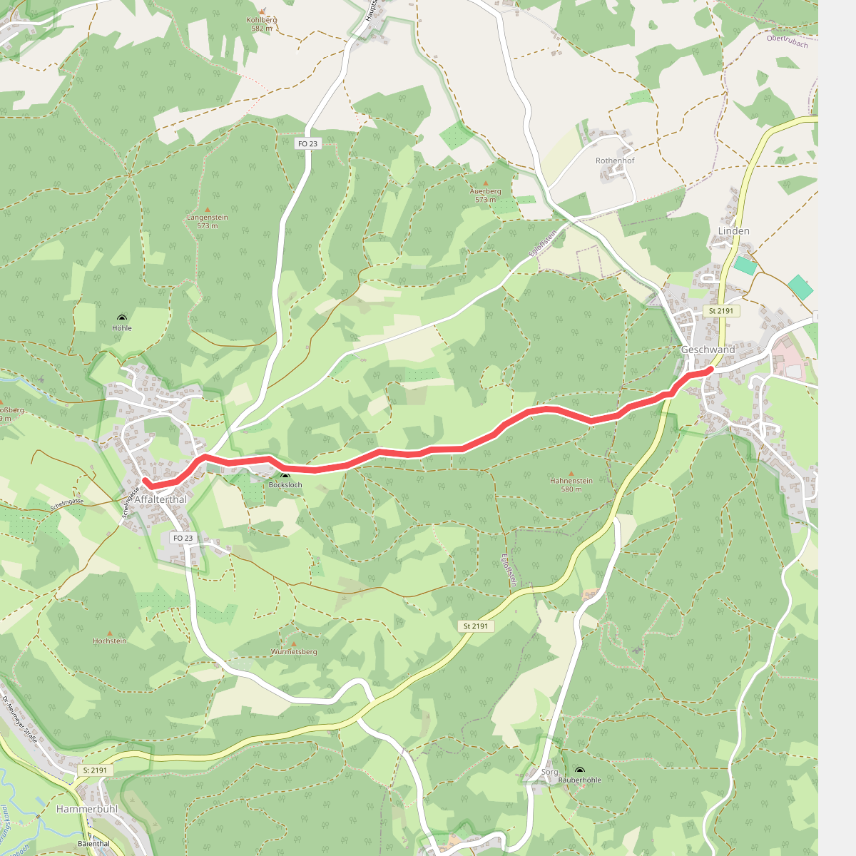
#10. Affalterthal-Geschwand
Obertrubach,Egloffstein
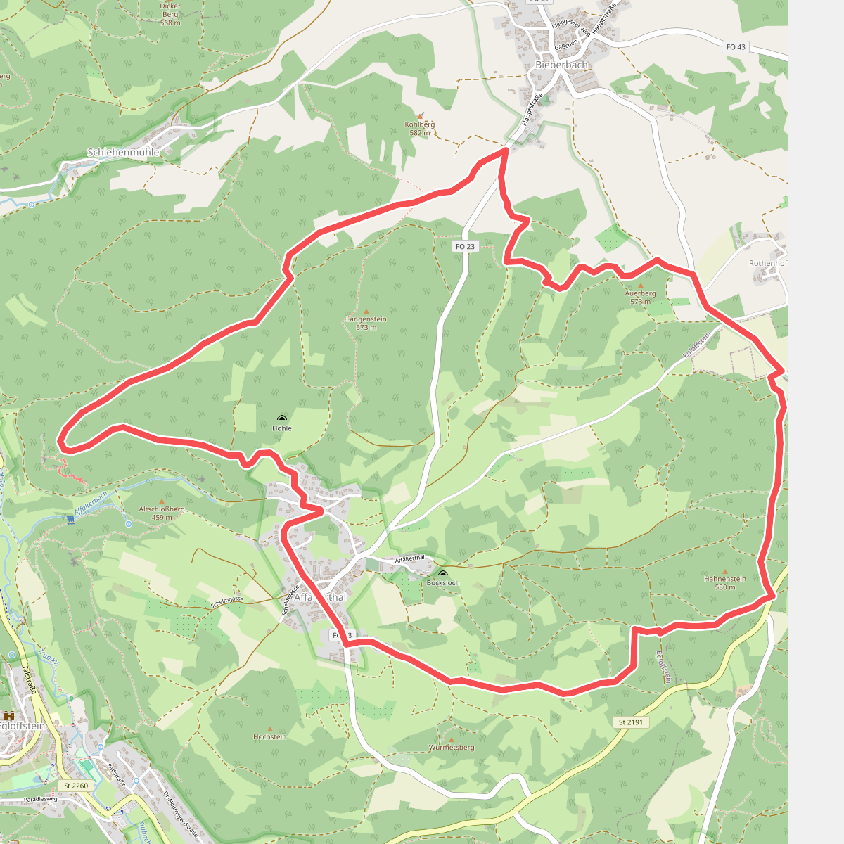
#11. Affalterthaler Höhenrundweg
Egloffstein,Obertrubach
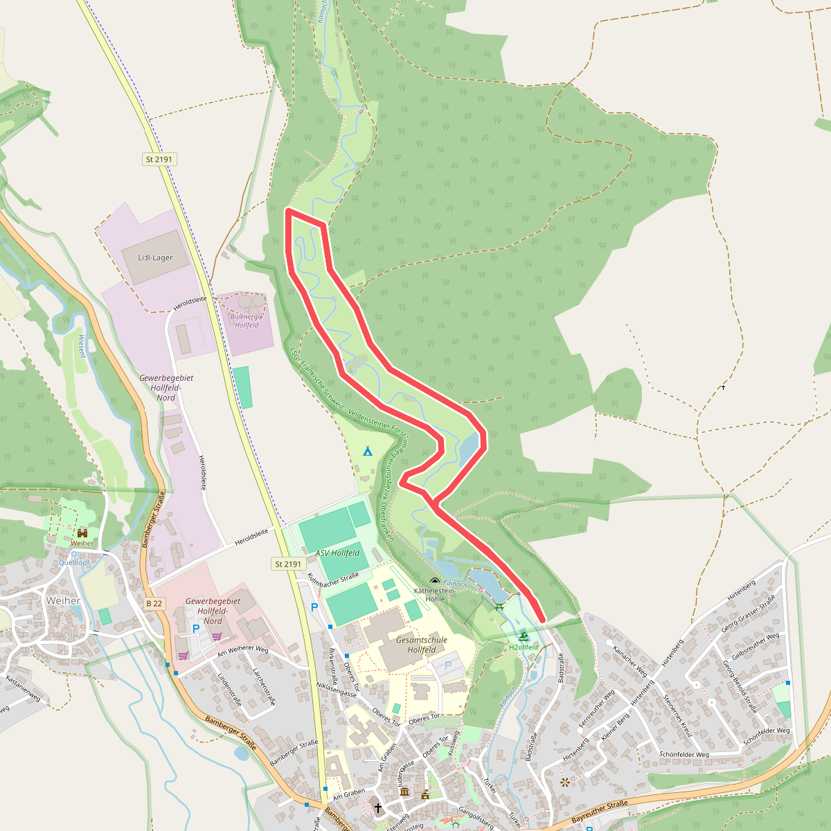
#12. Aktiv-Park Blauer Trail
Hollfeld



