

The best hiking routes in Natur- und Geopark Vulkaneifel
Discover the best walks in Natur- und Geopark Vulkaneifel. 60 routes on the map, with descriptions, photos and GPX.
About Natur- und Geopark Vulkaneifel
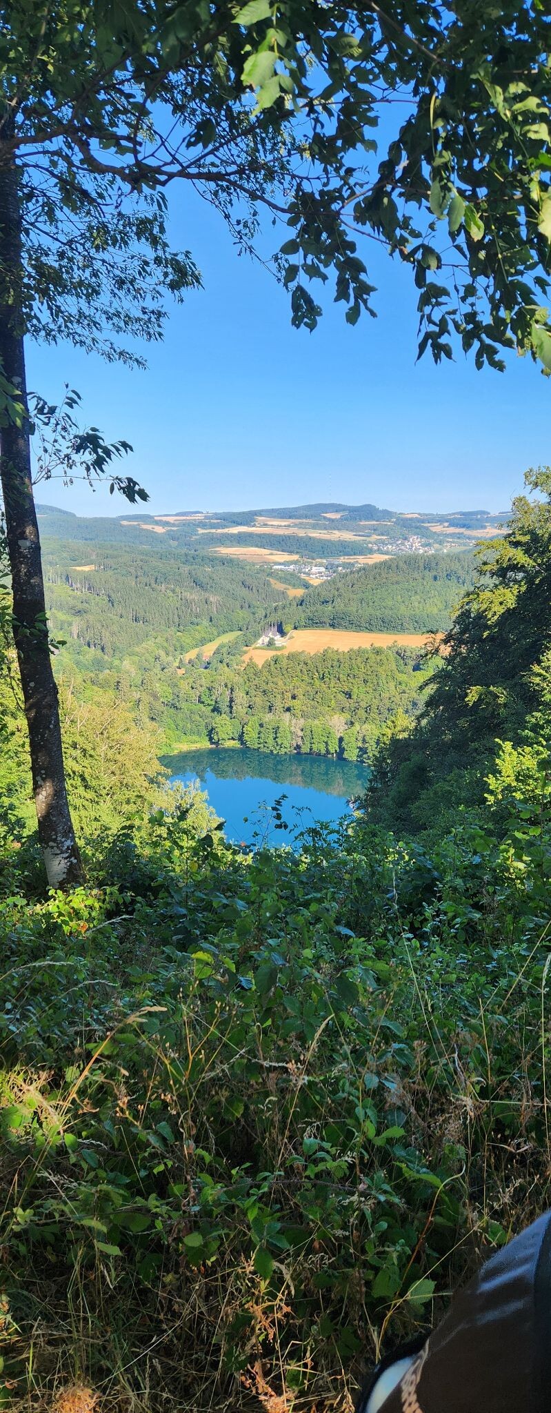
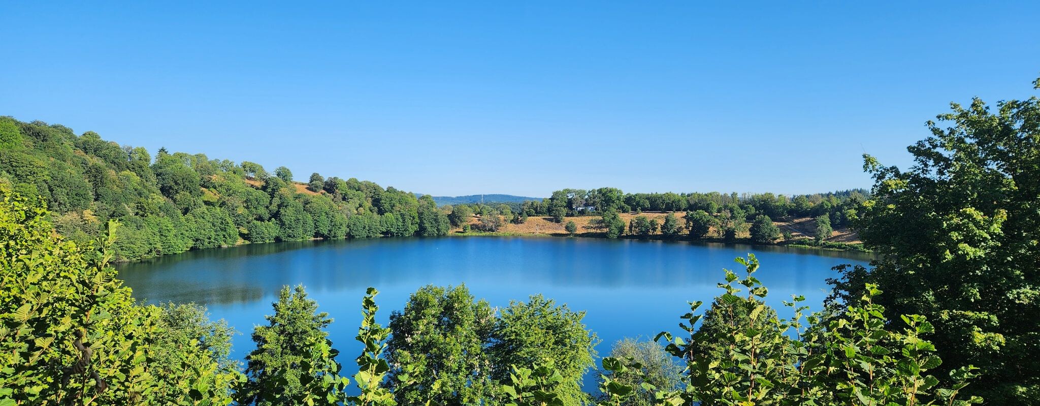
The Natur- und Geopark Vulkaneifel is a landscape shaped by explosive volcanic history, where the most distinctive features are the maars, circular crater lakes formed by steam explosions. Walkers will find a terrain characterized by these deep, water-filled basins, dry volcanic craters, and basalt dome hills rather than jagged alpine peaks. The elevation changes are moderate but frequent, requiring steady climbs up the rims of these ancient craters to transition between the lake shores and the surrounding agricultural plateaus.
Read more
About Natur- und Geopark Vulkaneifel
The Natur- und Geopark Vulkaneifel is a landscape shaped by explosive volcanic history, where the most distinctive features are the maars, circular crater lakes formed by steam explosions. Walkers will find a terrain characterized by these deep, water-filled basins, dry volcanic craters, and basalt dome hills rather than jagged alpine peaks. The elevation changes are moderate but frequent, requiring steady climbs up the rims of these ancient craters to transition between the lake shores and the surrounding agricultural plateaus.
Read moreThe Natur- und Geopark Vulkaneifel is a landscape shaped by explosive volcanic history, where the most distinctive features are the maars, circular crater lakes formed by steam explosions. Walkers will find a terrain characterized by these deep, water-filled basins, dry volcanic craters, and basalt dome hills rather than jagged alpine peaks. The elevation changes are moderate but frequent, requiring steady climbs up the rims of these ancient craters to transition between the lake shores and the surrounding agricultural plateaus.
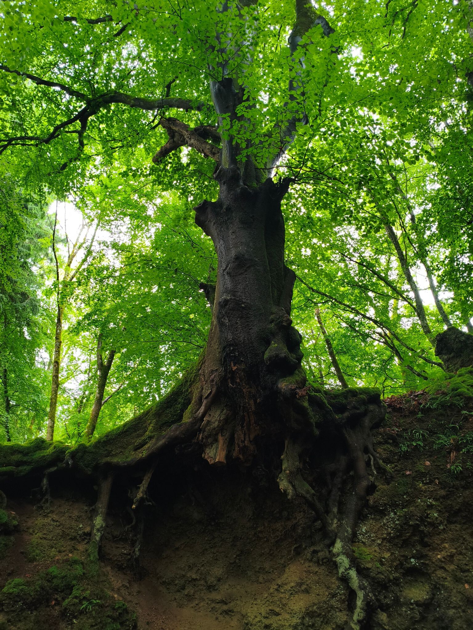
Underfoot, the paths vary from soft, grassy tracks around the water margins to gritty, dark volcanic ash and gravel on the higher ridges. You will notice the dark, porous basalt and pumice stones directly on the trail surfaces, particularly around active quarry sites and exposed rock faces. Deciduous beech forests cover many of the steep crater slopes, while the flatter high ground is a mix of open pastures and crop fields, offering clear views across the undulating volcanic field.
The area around the Dauner Maare can become busy with visitors on weekends, particularly along the well-marked circular lakeside paths. For a quieter walk, the trails leading through the stream valleys and over the dry, grassy craters of the high Eifel offer a more solitary experience. The landscape changes noticeably by October, when the beech canopy turns copper and the water in the deep maars reflects the clear autumn sky.
Hiking routes in Natur- und Geopark Vulkaneifel (60)
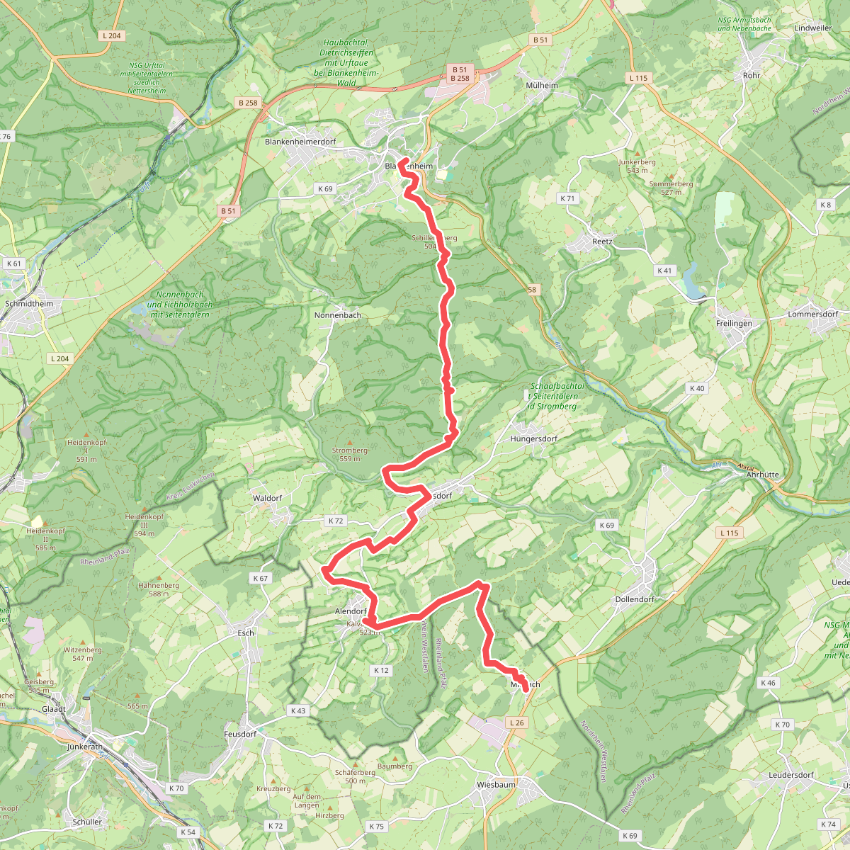
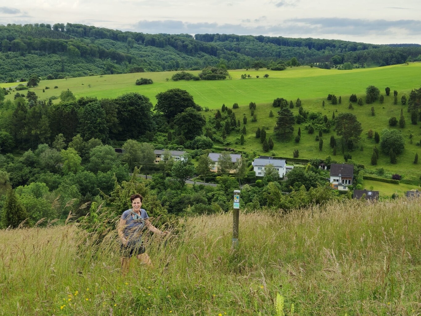
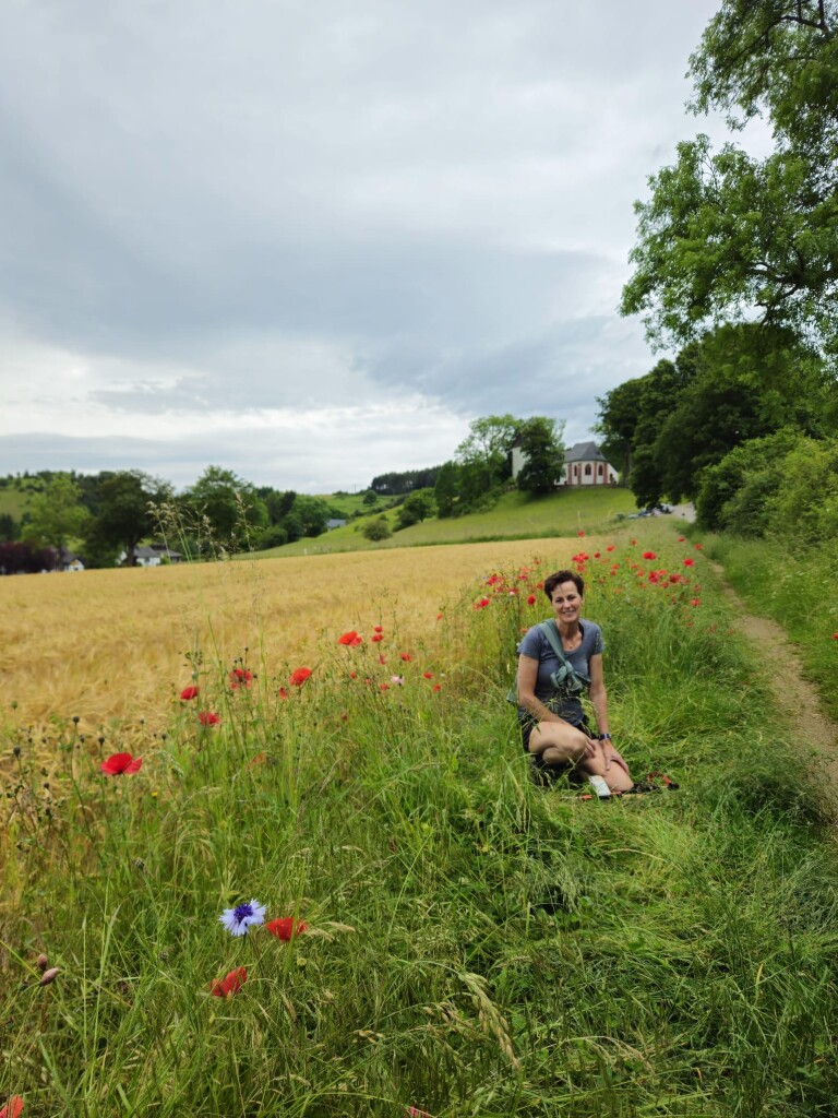
#1. Blankenheim - Mirbach · Eifelsteig etappe 7
Blankenheim,Wiesbaum
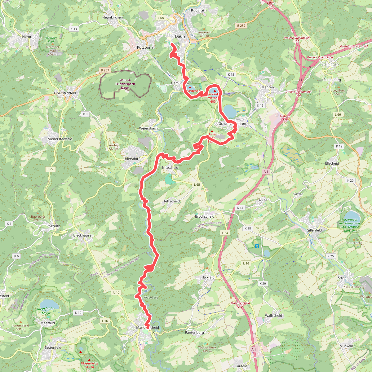
#2. Daun - Manderscheid · Eifelsteig etappe 11
Daun,Schalkenmehren,Üdersdorf,Brockscheid,Eckfeld,Manderscheid
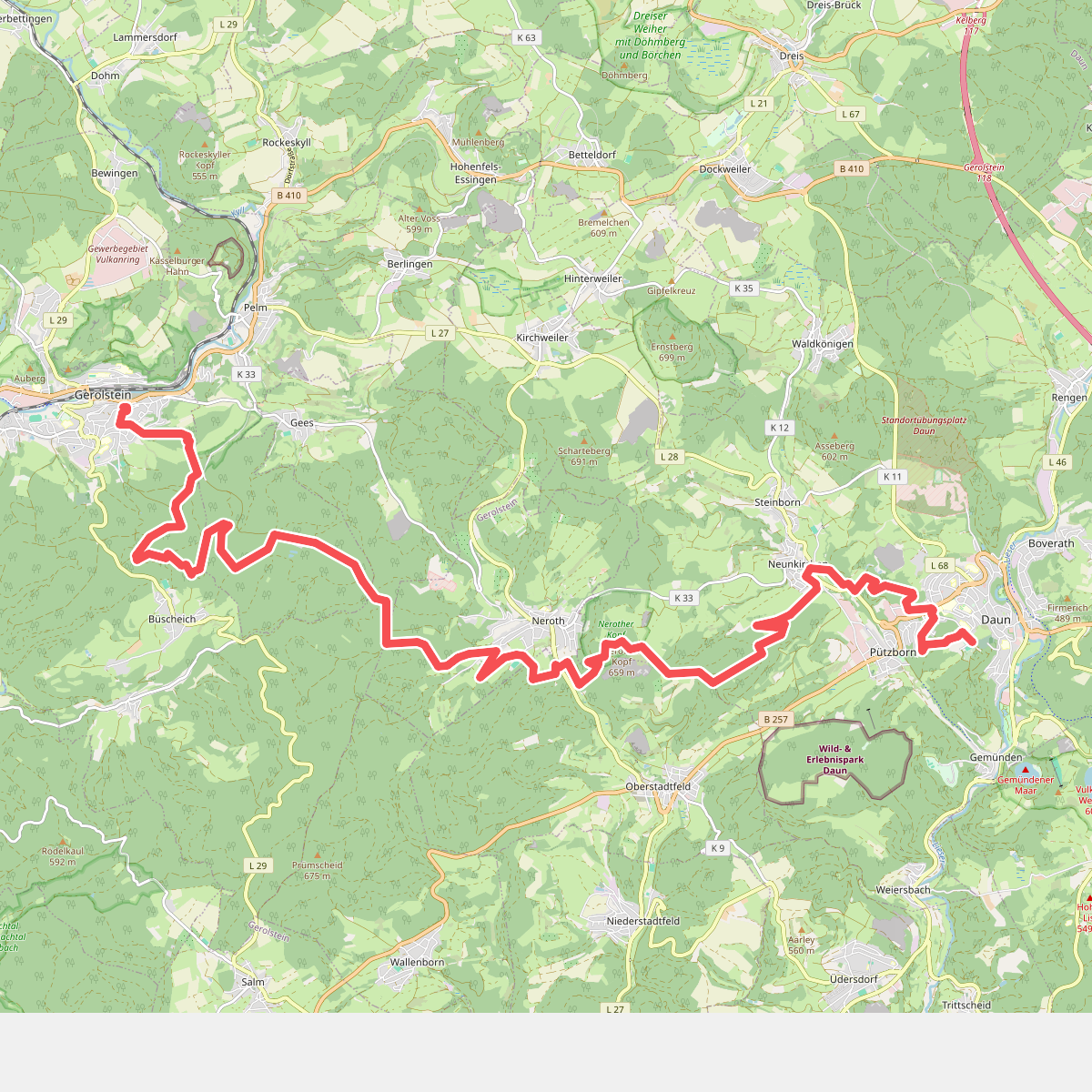
#3. Gerolstein - Daun · Eifelsteig etappe 10
Gerolstein,Pelm,Neroth,Oberstadtfeld,Daun
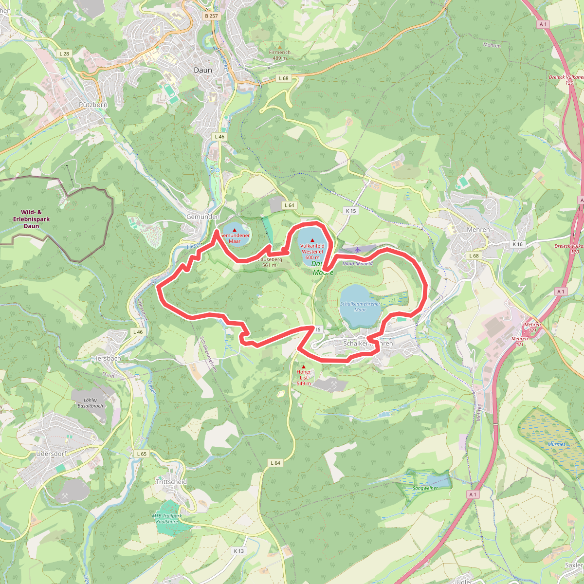
#4. HeimatSpur Maareglück
Schalkenmehren
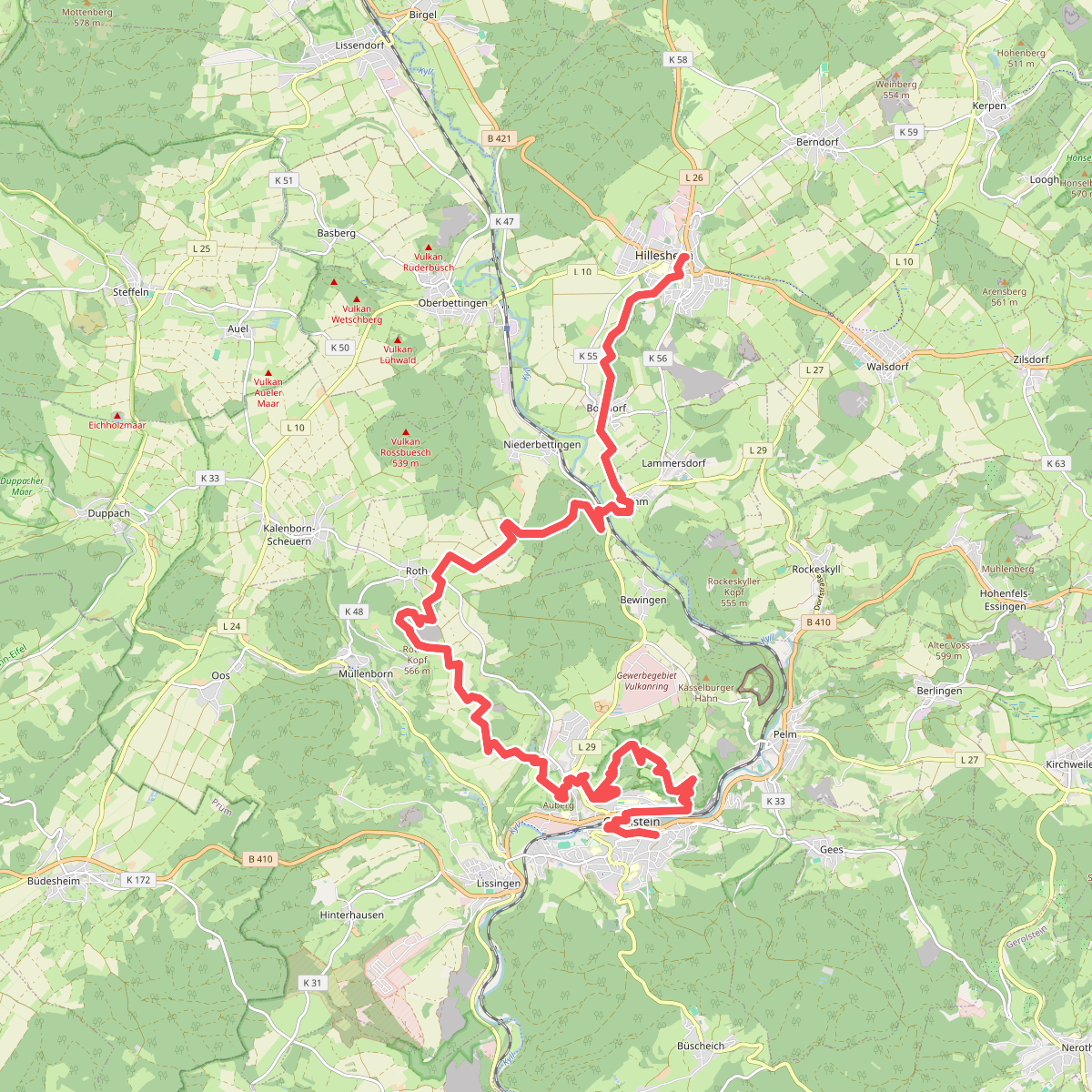
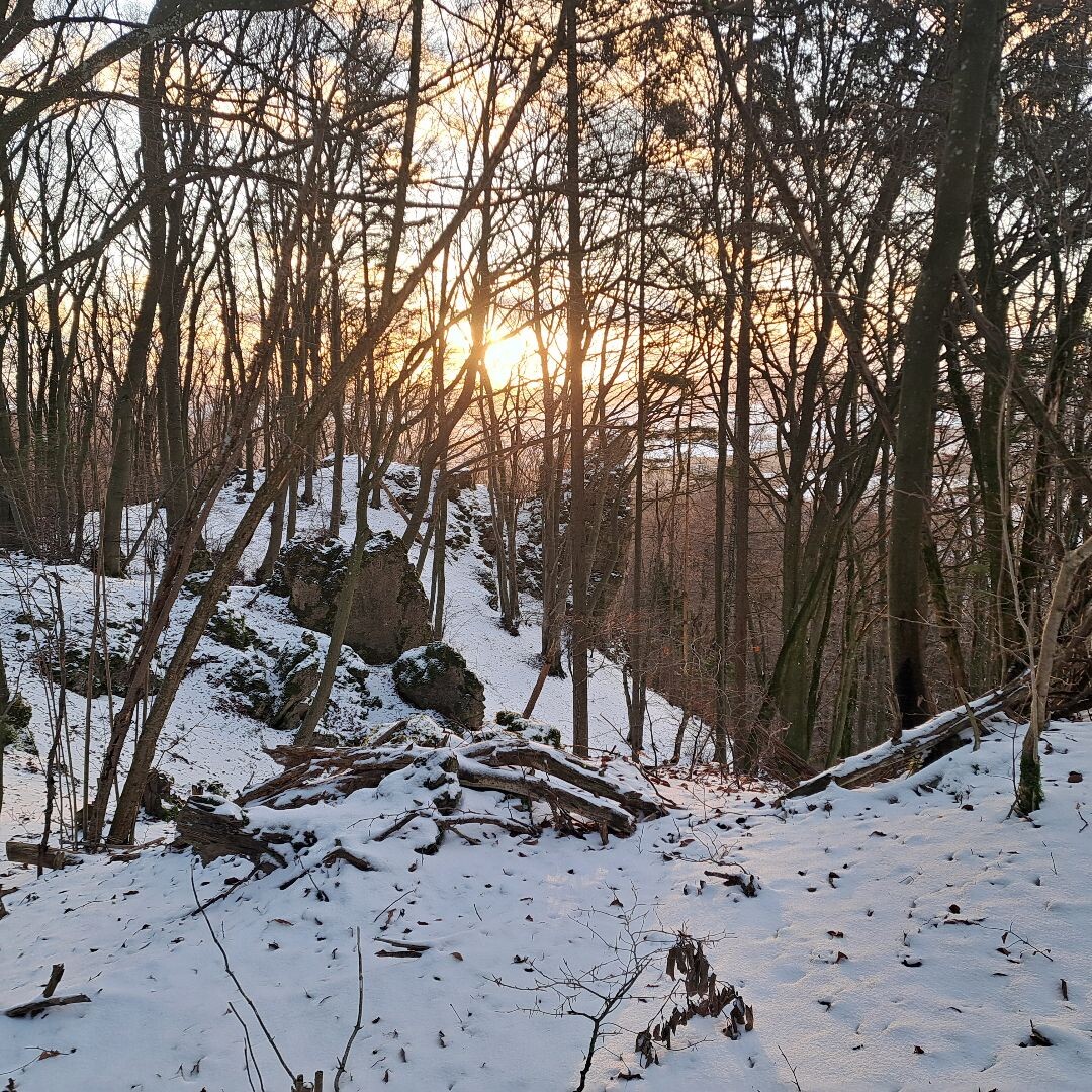
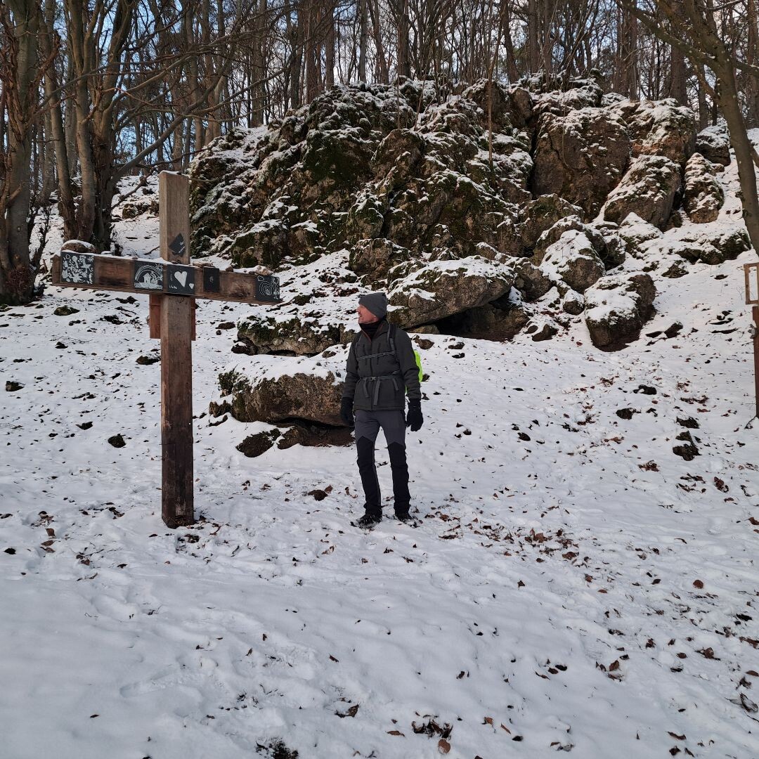
#5. Hillesheim - Gerolstein · Eifelsteig etappe 9
Hillesheim,Gerolstein
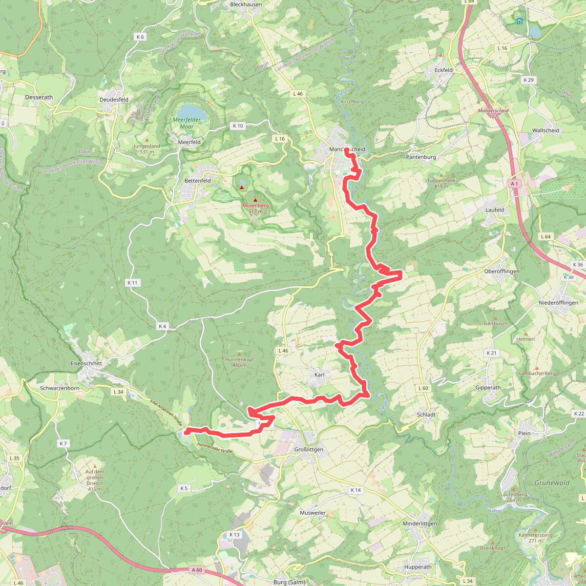
#6. Manderscheid - Kloster Himmerod · Eifelsteig etappe 12
Manderscheid,Oberöfflingen,Karl,Großlittgen
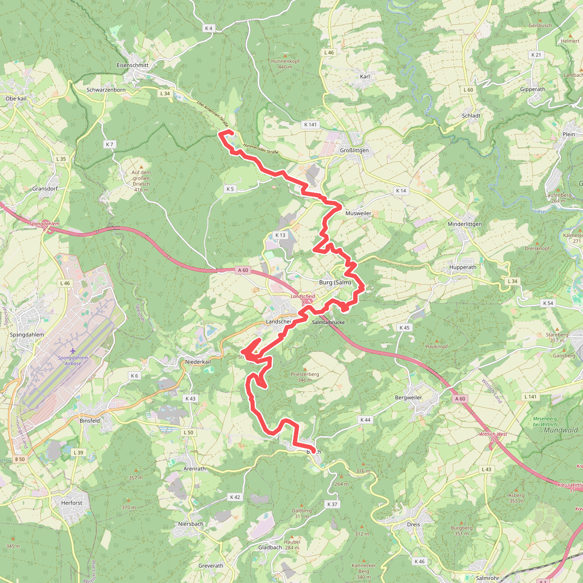
#7. Kloster Himmerod - Bruch · Eifelsteig etappe 13
Großlittgen,Landscheid,Musweiler,Hupperath,Arenrath,Bruch
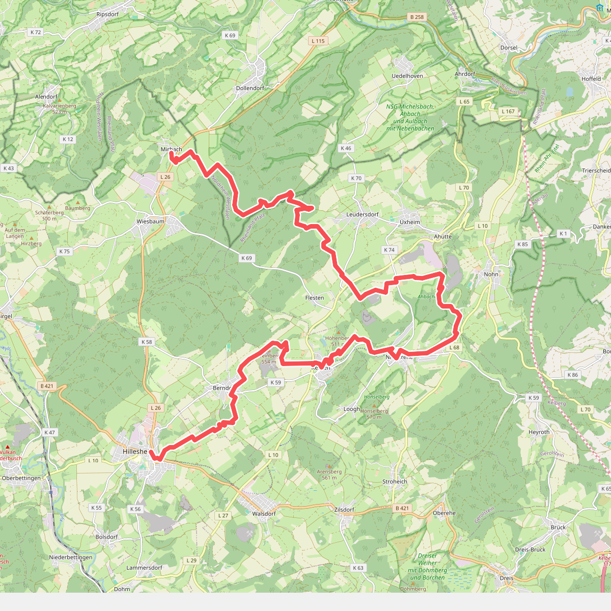
#8. Mirbach - Hillesheim · Eifelsteig etappe 8
Wiesbaum,Blankenheim,Üxheim,Nohn,Kerpen (Eifel),Berndorf,Hillesheim
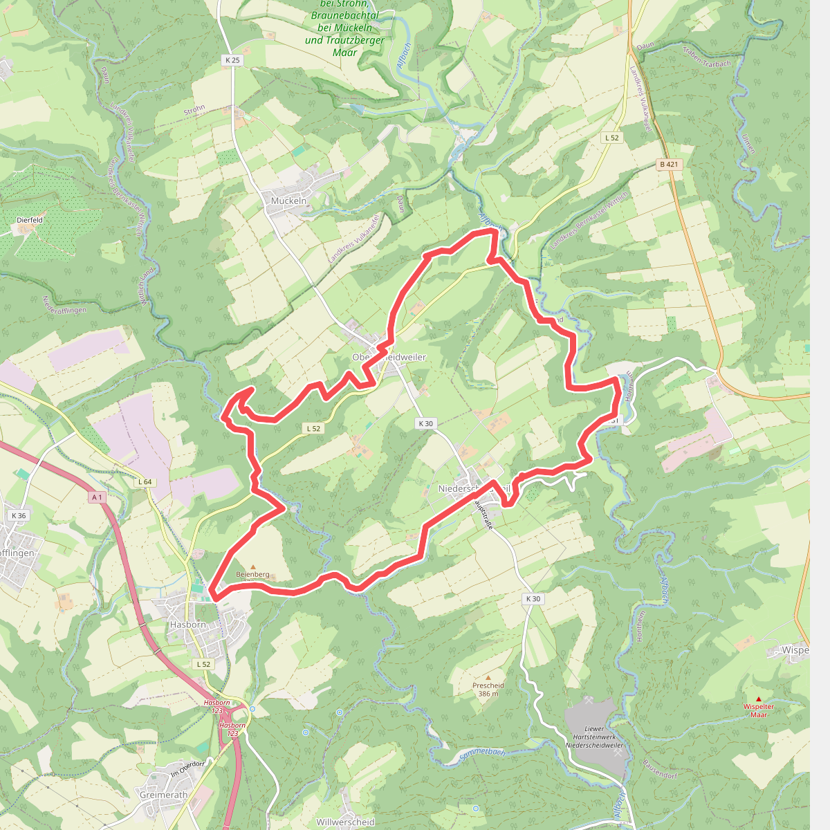
#9. 2-Bäche-Pfad
Niederscheidweiler,Oberscheidweiler,Hasborn
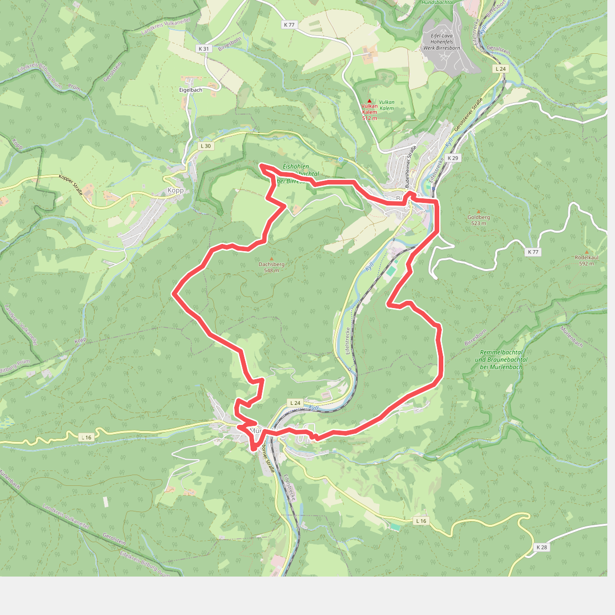
#10. Bertrada Route
Birresborn,Kopp,Mürlenbach
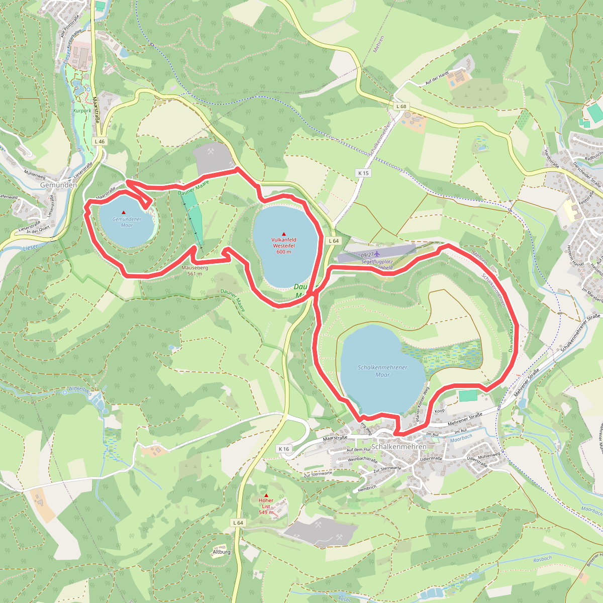
#11. Dauner Maare
Daun,Schalkenmehren,Mehren
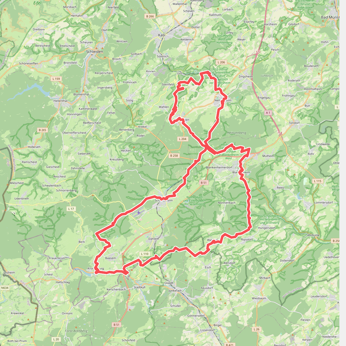
#12. Eifeler Quellenpfad
Dahlem,Jünkerath,Esch,Blankenheim,Nettersheim,Kall



