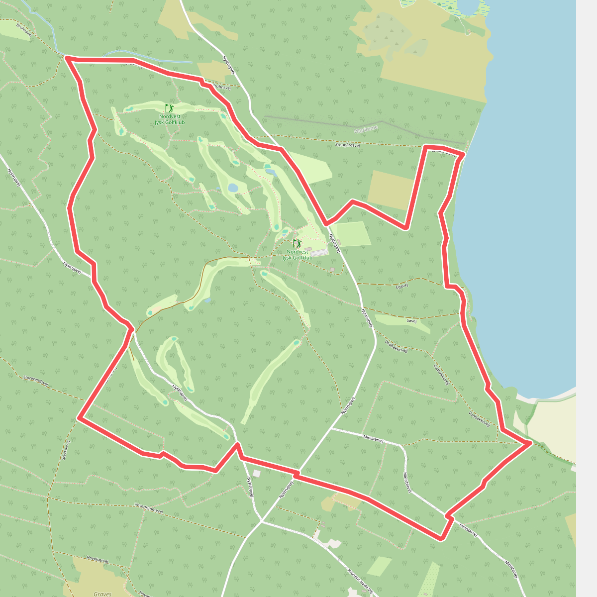
The best hiking routes in Nationalpark Thy
Discover the best walks in Nationalpark Thy. 23 routes on the map, with descriptions, photos and GPX.
About Nationalpark Thy
Nationalpark Thy occupies a wide strip of the Danish west coast, characterized by a flat to gently undulating landscape of coastal dunes, vast heathlands, and plantation forests. Unlike the steep cliffs or deep valleys found in other European coastal regions, this area is defined by its low-lying, horizontal profile. Walkers will notice a distinct transition from the dry, shifting sands of the outer dunes to the wet, boggy heathlands further inland, where low shrubs and mosses dominate the ground.
Read more
About Nationalpark Thy
Nationalpark Thy occupies a wide strip of the Danish west coast, characterized by a flat to gently undulating landscape of coastal dunes, vast heathlands, and plantation forests. Unlike the steep cliffs or deep valleys found in other European coastal regions, this area is defined by its low-lying, horizontal profile. Walkers will notice a distinct transition from the dry, shifting sands of the outer dunes to the wet, boggy heathlands further inland, where low shrubs and mosses dominate the ground.
Read moreNationalpark Thy occupies a wide strip of the Danish west coast, characterized by a flat to gently undulating landscape of coastal dunes, vast heathlands, and plantation forests. Unlike the steep cliffs or deep valleys found in other European coastal regions, this area is defined by its low-lying, horizontal profile. Walkers will notice a distinct transition from the dry, shifting sands of the outer dunes to the wet, boggy heathlands further inland, where low shrubs and mosses dominate the ground.
Underfoot, the terrain varies significantly depending on the chosen path. The coastal fringe consists of loose, deep sand that requires steady effort to traverse, while the inland heath is crossed by a mixture of sandy tracks, damp peat paths, and occasional wooden boardwalks over the wettest depressions. In the plantation areas, which were originally planted to control the drifting sand, the paths are firmer, often covered in needle litter and bordered by dense stands of conifers.
This landscape is a direct result of centuries of sand drift and subsequent human efforts to stabilize the soil. On the ground, you will see the contrast between the wild, open dune-heath and the highly structured, straight-rowed plantations. While the popular trailheads and coastal access points near the villages can be busy, the expansive interior tracks through the wet heath offer a much quieter walking experience, where the main challenges are the uneven ground and the lack of natural shelter.
Hiking routes in Nationalpark Thy (23)
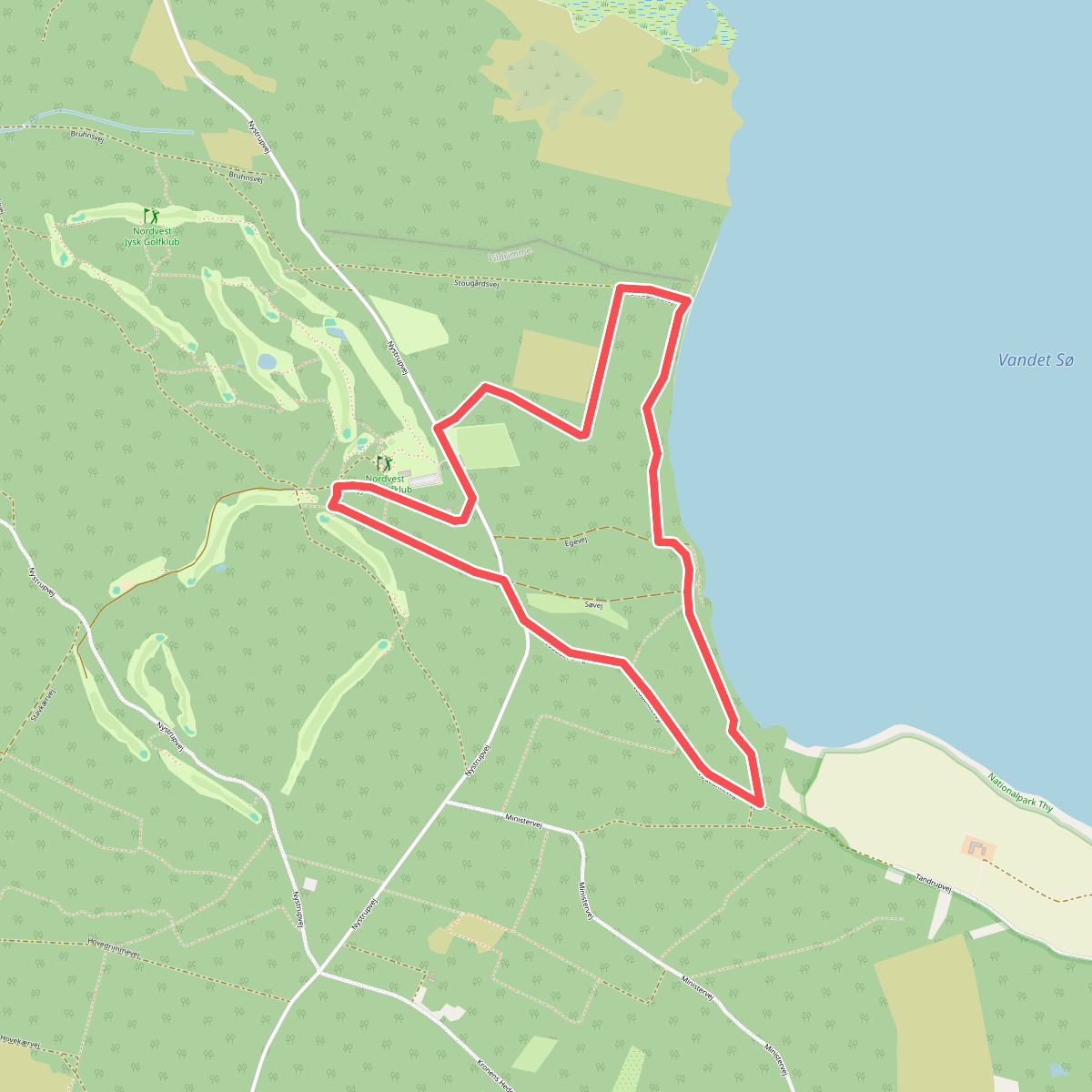
#1. Nystrup Plantage Blå hjertesti
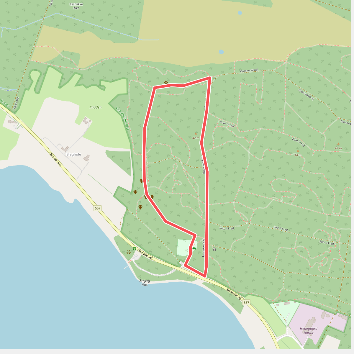
#2. Årbjergruten
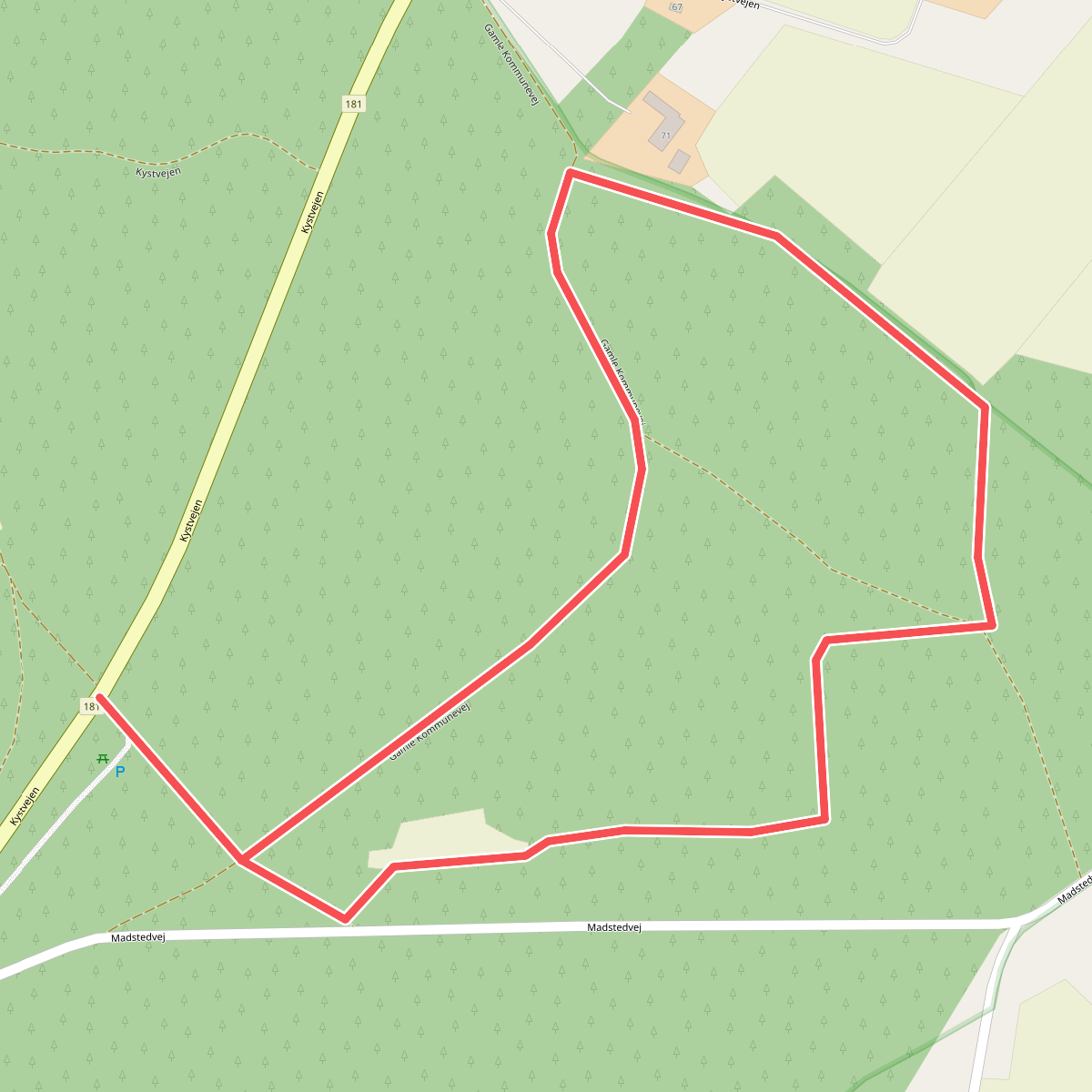
#3. Blå rute
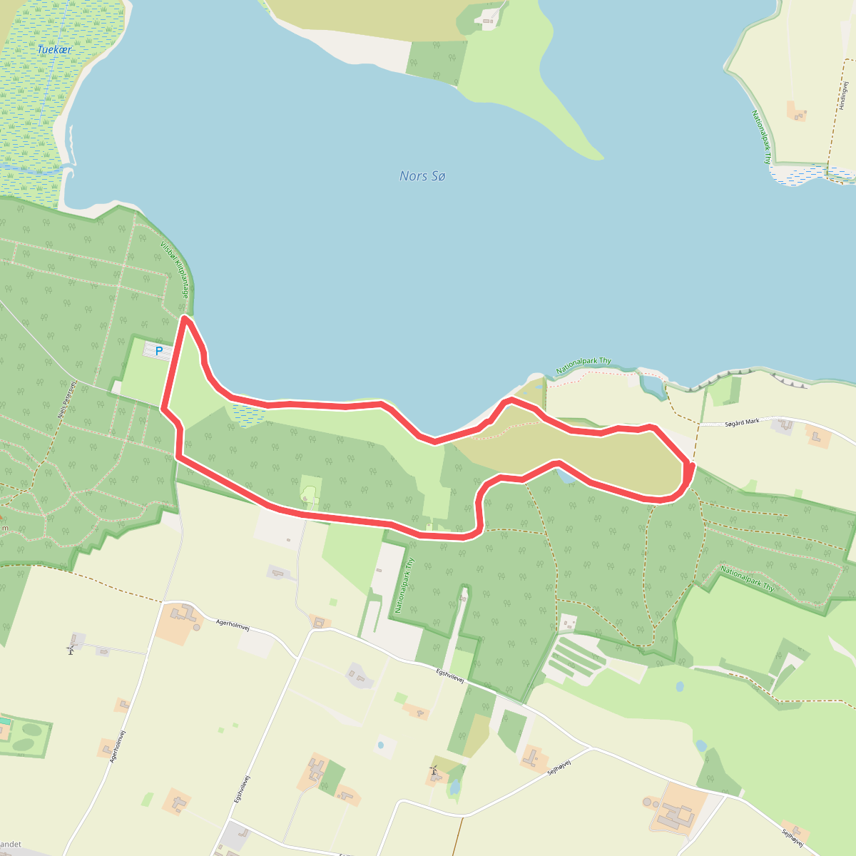
#4. Degnbjergruten
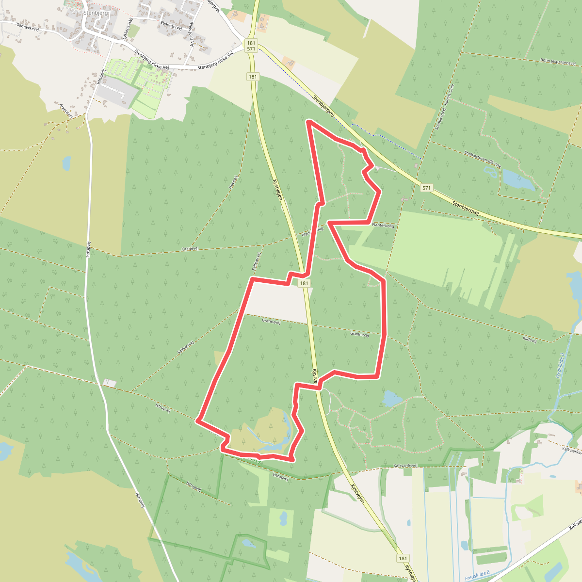
#5. Embak rute
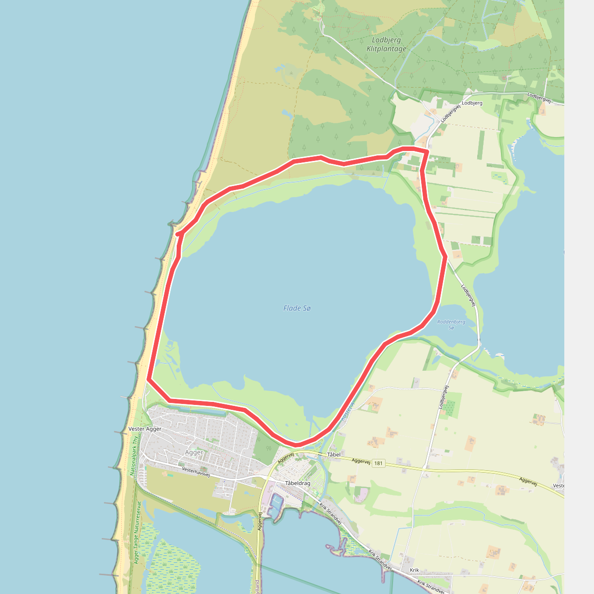
#6. Flade Sø Rundtur
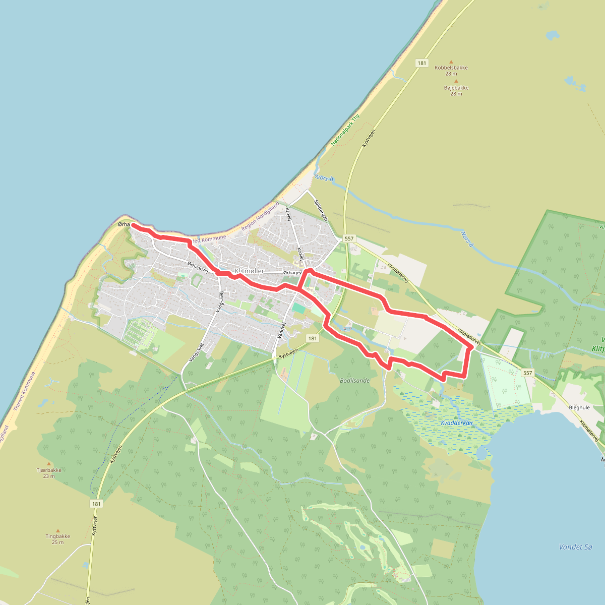
#7. Foreningsstien
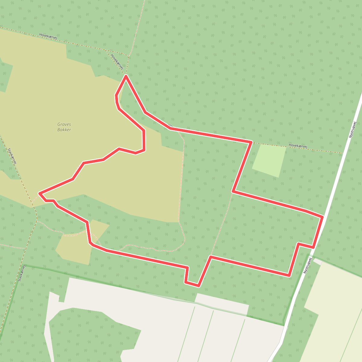
#8. Graves Bakker Ruten
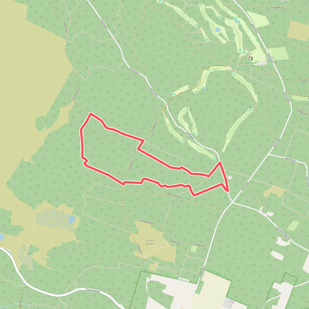
#9. Hoverimmeruten
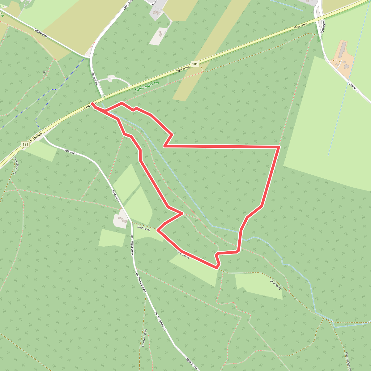
#10. Kystskræntruten
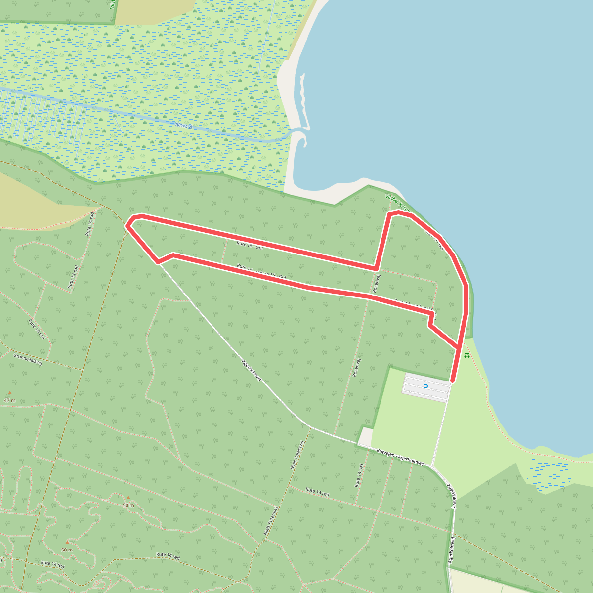
#11. Nebelruten