

The best hiking routes in Moore und Buchenwälder zwischen Etterschlag und Fürstenfeldbruck
Discover the best walks in Moore und Buchenwälder zwischen Etterschlag und Fürstenfeldbruck. 5 routes on the map, with descriptions, photos and GPX.
About Moore und Buchenwälder zwischen Etterschlag und Fürstenfeldbruck
Moore und Buchenwälder zwischen Etterschlag und Fürstenfeldbruck offers a distinct contrast between damp, mossy depressions and dry, elevated beech forests. Walking here means navigating two distinct terrain types. On the higher ground, you walk on firm, leaf-littered soil beneath a dense canopy of mature beech trees, where the forest floor is relatively open. In the lower basins, the ground transitions into peat mires and wet woodlands, where the path often turns to damp earth and wooden boardwalks are required to cross the softest sections.
Read more
About Moore und Buchenwälder zwischen Etterschlag und Fürstenfeldbruck
Moore und Buchenwälder zwischen Etterschlag und Fürstenfeldbruck offers a distinct contrast between damp, mossy depressions and dry, elevated beech forests. Walking here means navigating two distinct terrain types. On the higher ground, you walk on firm, leaf-littered soil beneath a dense canopy of mature beech trees, where the forest floor is relatively open. In the lower basins, the ground transitions into peat mires and wet woodlands, where the path often turns to damp earth and wooden boardwalks are required to cross the softest sections.
Read moreMoore und Buchenwälder zwischen Etterschlag und Fürstenfeldbruck offers a distinct contrast between damp, mossy depressions and dry, elevated beech forests. Walking here means navigating two distinct terrain types. On the higher ground, you walk on firm, leaf-littered soil beneath a dense canopy of mature beech trees, where the forest floor is relatively open. In the lower basins, the ground transitions into peat mires and wet woodlands, where the path often turns to damp earth and wooden boardwalks are required to cross the softest sections.
The landscape is a direct result of the last ice age, which left behind a undulating moraine topography of gravel hills and poorly drained kettle holes. As you walk, you will notice how a drop of just a few meters in elevation completely changes the vegetation from dry forest to moisture-loving sedges and peat mosses. This transition is particularly visible in May, when the fresh green beech leaves contrast sharply with the dark, standing water of the bog pools.
This area is not a place for wide panoramic views or dramatic rocky climbs, as the elevation changes are gentle and the horizon is consistently enclosed by trees. While the main paths near the outer trailheads can be busier on weekends, the interior network of forest tracks offers a quieter, more enclosed woodland experience. It is a practical choice for those who prefer shaded forest walks and close-up observations of wetland ecology over open, sweeping landscapes.
Hiking routes in Moore und Buchenwälder zwischen Etterschlag und Fürstenfeldbruck (5)
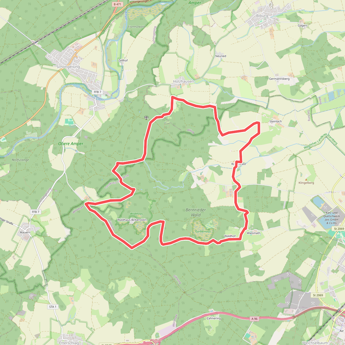
#1. Archäologischer Wanderweg
Gilching,Wörthsee,Schöngeising,Alling
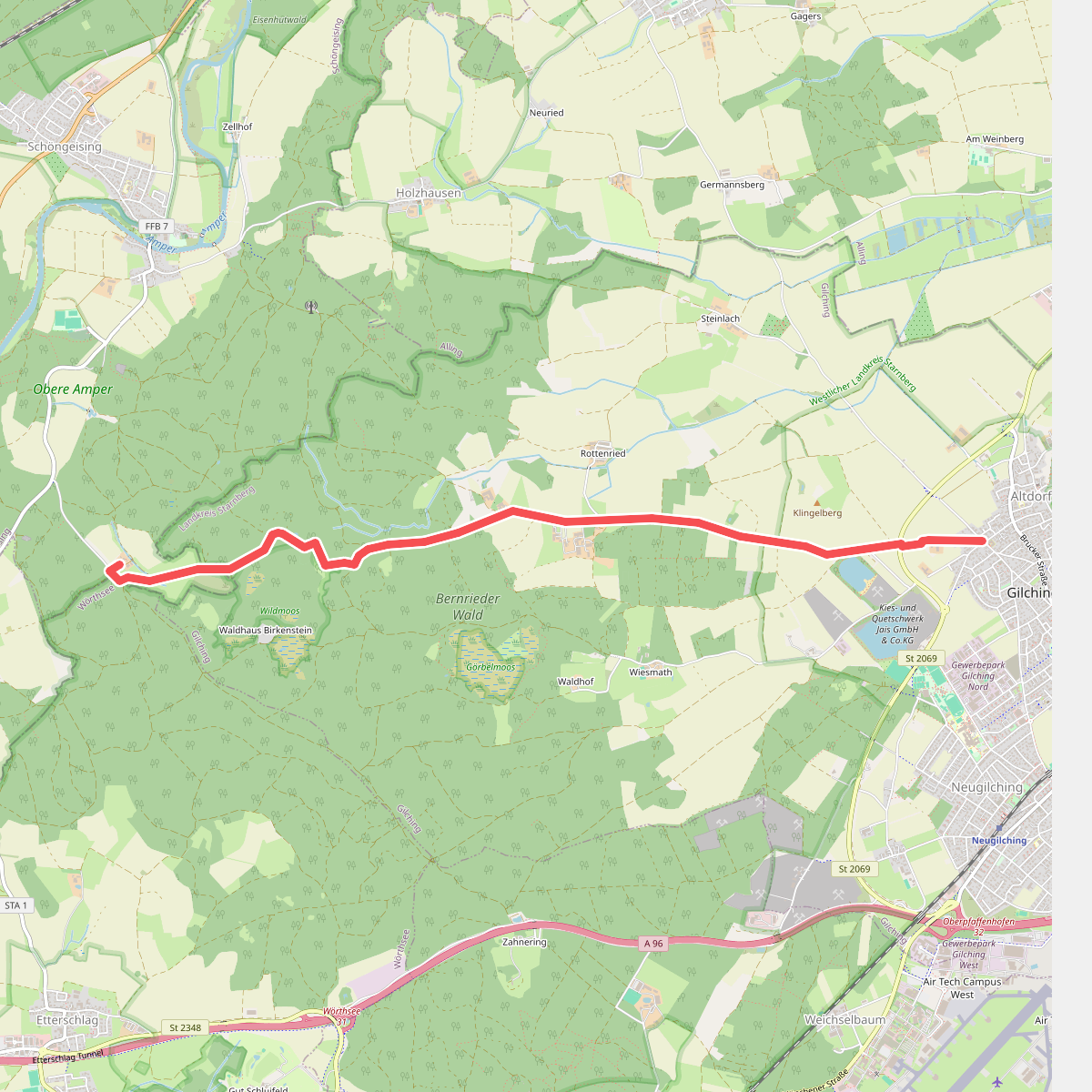
#2. Kreuzweg
Gilching,Schöngeising
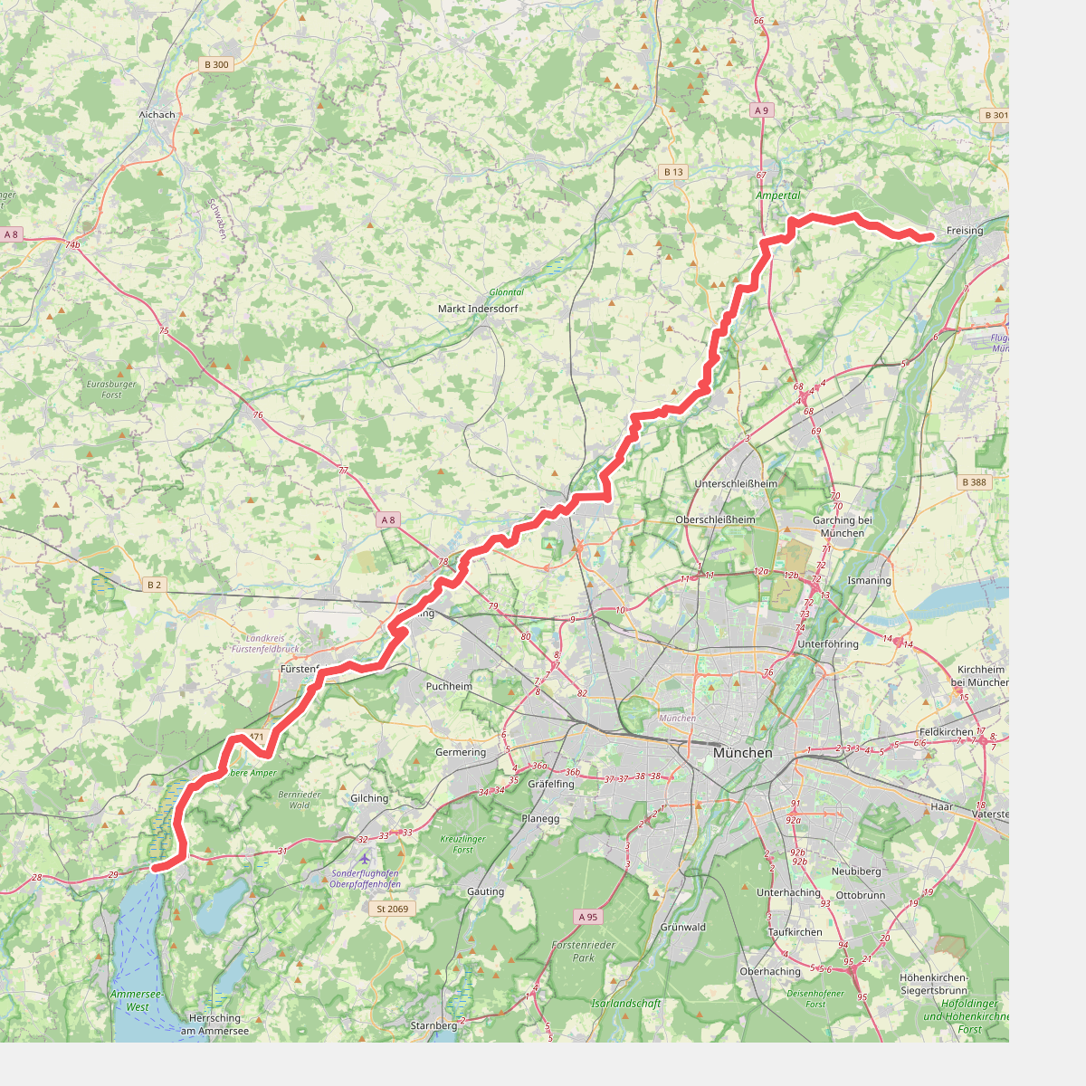
#3. Münchner Jakobsweg (Zubringer Vötting - Ammersee)
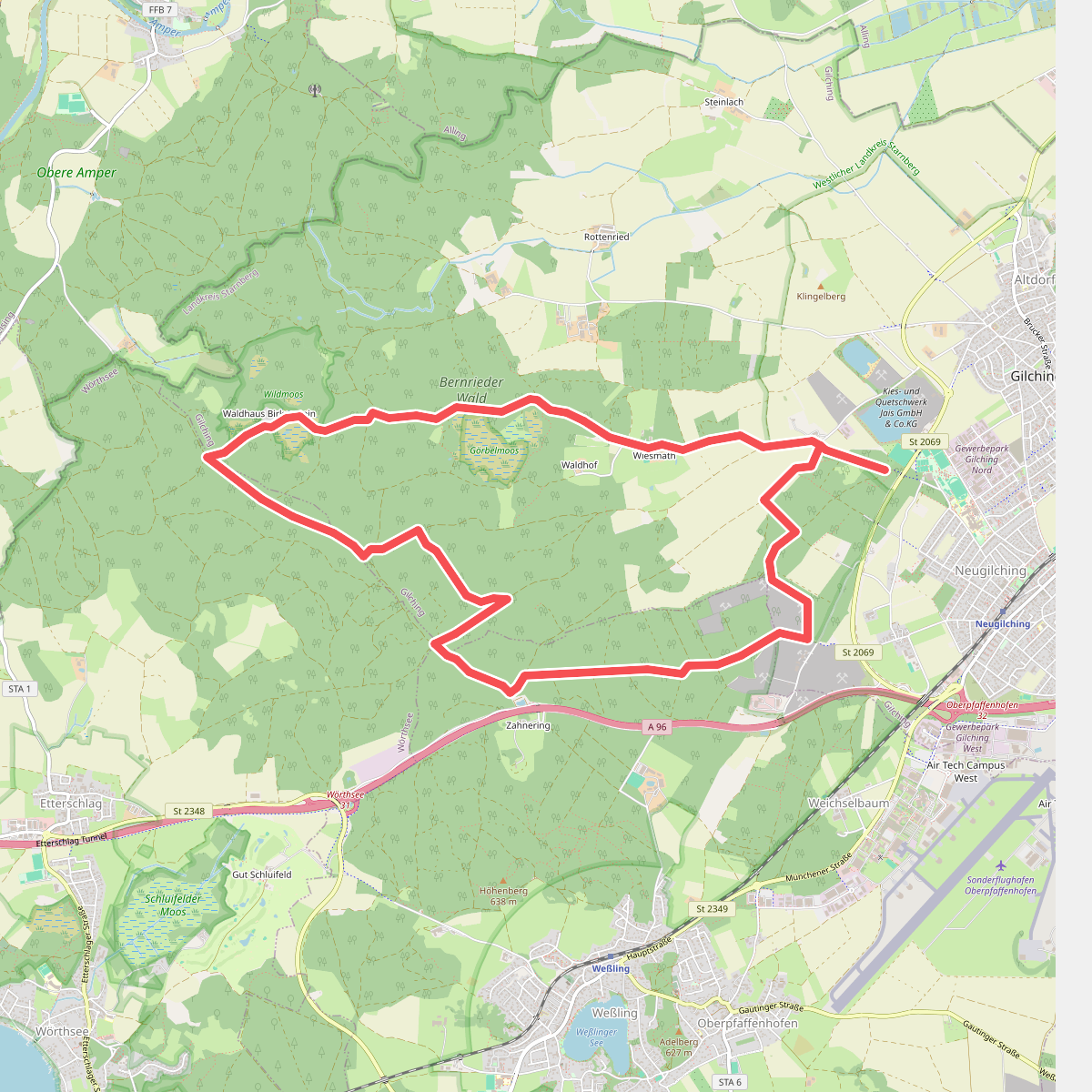
#4. Via Zeitreise - Blaue Route
Gilching,Weßling,Wörthsee
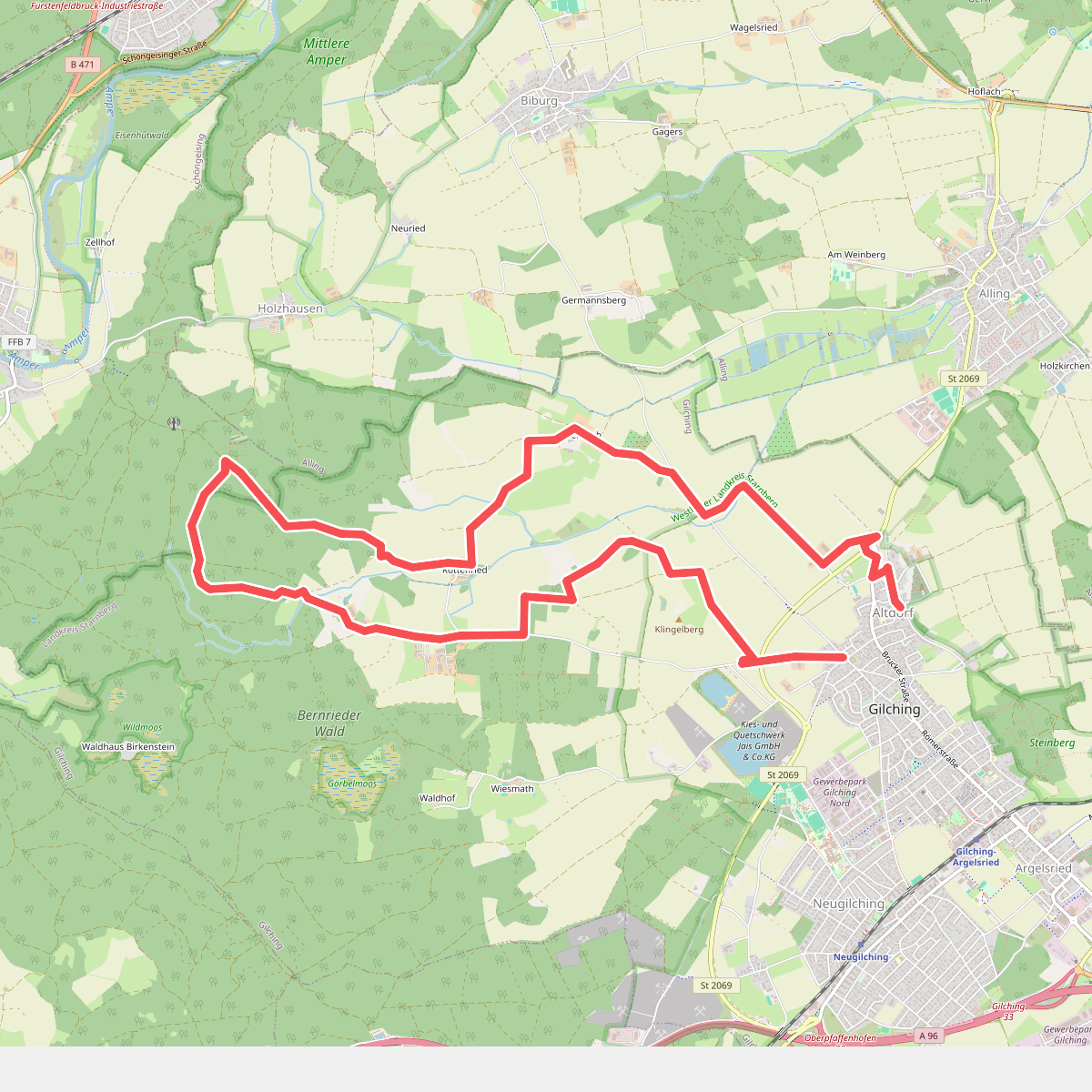
#5. Via Zeitreise Rote Route
Gilching,Schöngeising



