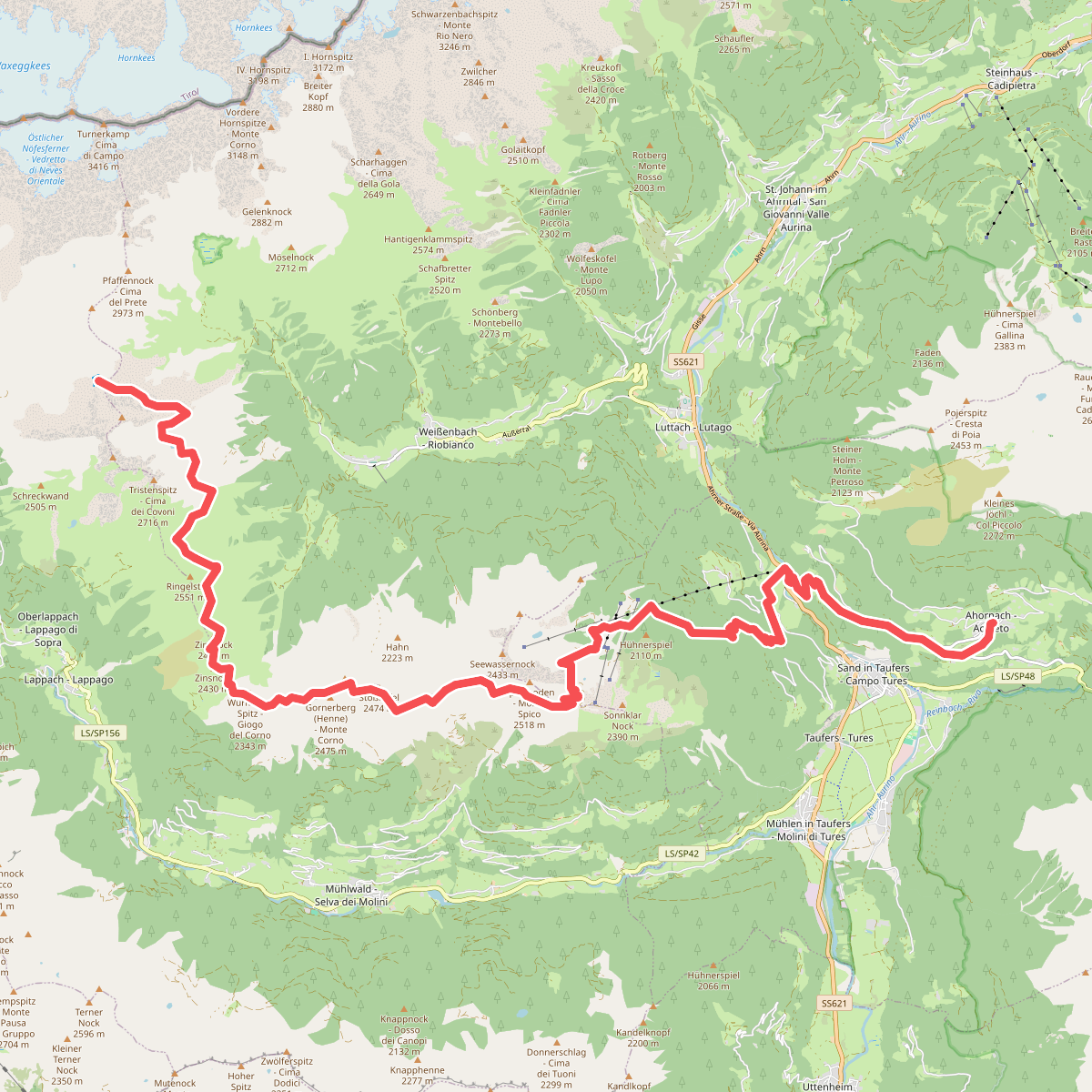
The best hiking routes in Mineralienschutzgebiet Schönberg - Zona di tutela per i minerali Montebello
Discover the best walks in Mineralienschutzgebiet Schönberg - Zona di tutela per i minerali Montebello. 4 routes on the map, with descriptions, photos and GPX.
About Mineralienschutzgebiet Schönberg - Zona di tutela per i minerali Montebello
Mineralienschutzgebiet Schönberg - Zona di tutela per i minerali Montebello is a protected mountain zone focused on preserving geological formations and mineral deposits. Unlike the surrounding high-altitude pastures, this specific area is characterized by exposed rock faces, scree slopes, and stony paths. The landscape here is defined by its geology, where walkers will notice distinct mineral veins and layered rock strata directly alongside the trail rather than lush alpine meadows.
Read more
About Mineralienschutzgebiet Schönberg - Zona di tutela per i minerali Montebello
Mineralienschutzgebiet Schönberg - Zona di tutela per i minerali Montebello is a protected mountain zone focused on preserving geological formations and mineral deposits. Unlike the surrounding high-altitude pastures, this specific area is characterized by exposed rock faces, scree slopes, and stony paths. The landscape here is defined by its geology, where walkers will notice distinct mineral veins and layered rock strata directly alongside the trail rather than lush alpine meadows.
Read moreMineralienschutzgebiet Schönberg - Zona di tutela per i minerali Montebello is a protected mountain zone focused on preserving geological formations and mineral deposits. Unlike the surrounding high-altitude pastures, this specific area is characterized by exposed rock faces, scree slopes, and stony paths. The landscape here is defined by its geology, where walkers will notice distinct mineral veins and layered rock strata directly alongside the trail rather than lush alpine meadows.
Underfoot, the terrain consists primarily of loose gravel, sharp stones, and rocky tracks that require careful stepping. There are no paved walkways or wooden boardwalks here. The vegetation is sparse, limited to hardy alpine grasses and lichens clinging to the rock, which leaves the geological structure of the mountain completely visible. It is a stark, gray-and-rust-colored landscape shaped by natural erosion and ancient geological shifts.
This area is best suited for those interested in geology and quiet, rugged terrain. It lacks the dramatic glaciers or deep forested gorges found in other parts of the region, offering instead a focused look at mineral-rich rock formations. In late July and August, the lack of tree cover means the rocky paths are fully exposed, making the geological features highly visible to anyone examining the stone surfaces along the path.
Hiking routes in Mineralienschutzgebiet Schönberg - Zona di tutela per i minerali Montebello (4)
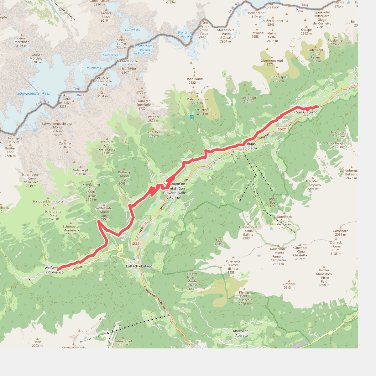
#1. Höfeweg
Ahrntal - Valle Aurina
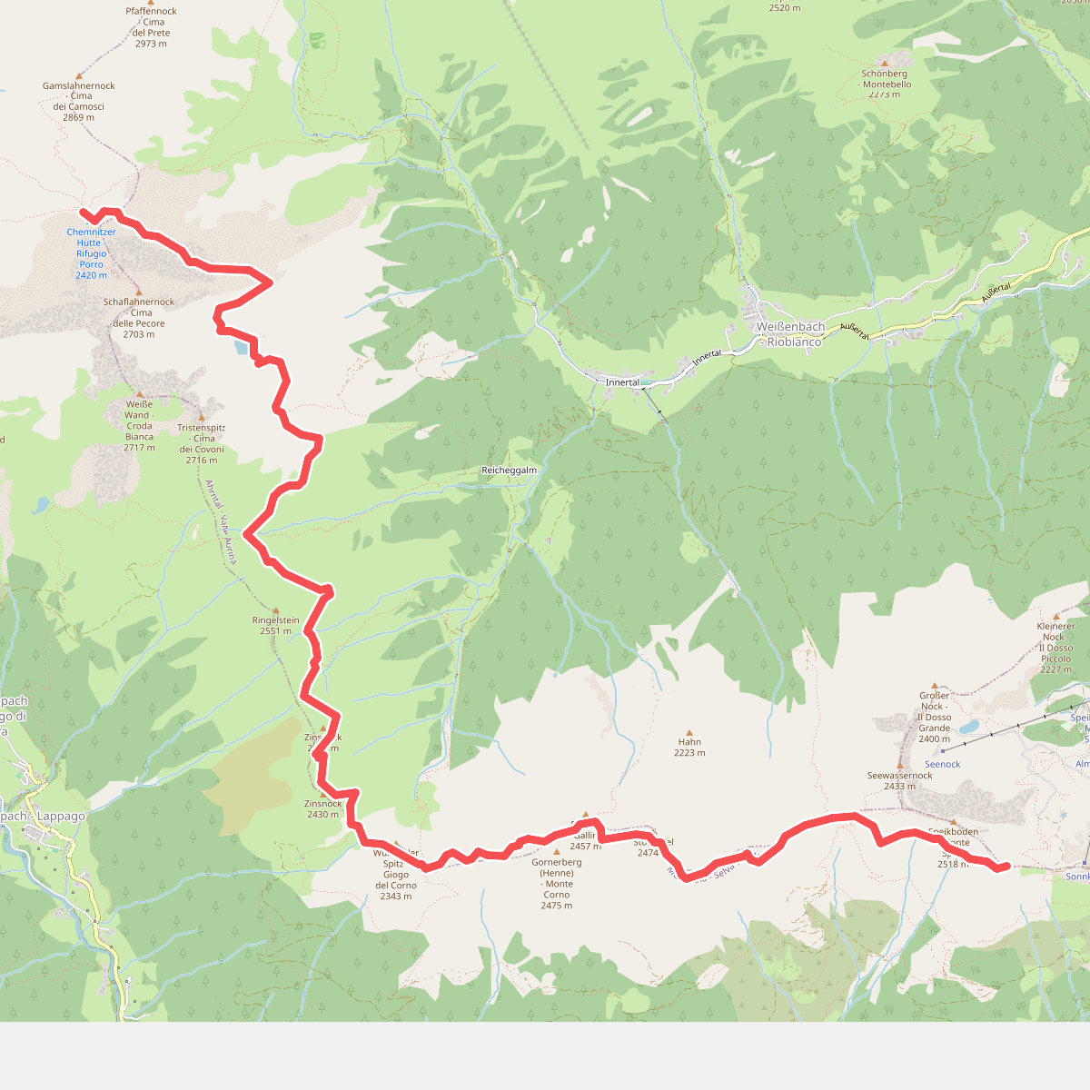
#2. Kellerbauerweg
Mühlwald - Selva dei Molini,Ahrntal - Valle Aurina
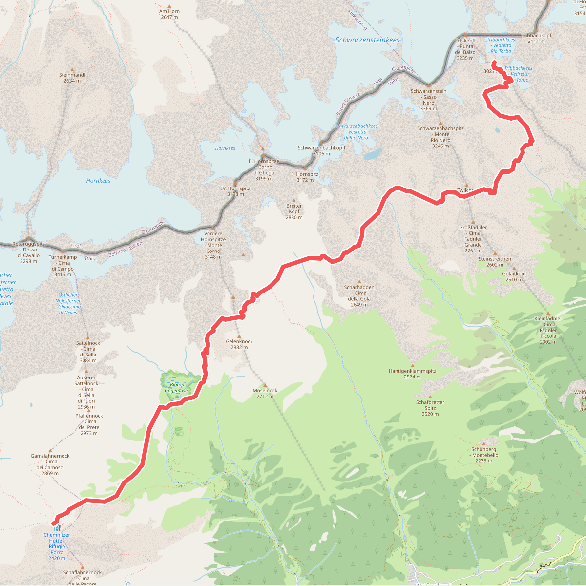
#3. Stabeler Höhenweg
Mühlwald - Selva dei Molini,Ahrntal - Valle Aurina