

The best hiking routes in LSG "Fränkische Schweiz - Veldensteiner Forst" im Regierungsbezirk Oberfranken
Discover the best walks in LSG "Fränkische Schweiz - Veldensteiner Forst" im Regierungsbezirk Oberfranken. 456 routes on the map, with descriptions, photos and GPX.
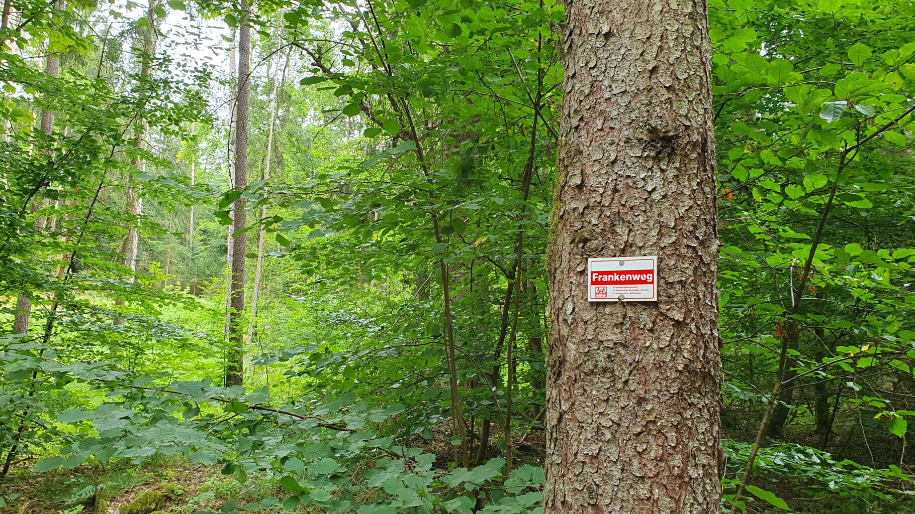
About LSG "Fränkische Schweiz - Veldensteiner Forst" im Regierungsbezirk Oberfranken
The LSG "Fränkische Schweiz - Veldensteiner Forst" im Regierungsbezirk Oberfranken offers a distinct contrast between two geological landscapes. In the western section, the terrain is dominated by highly weathered Jurasssic limestone, resulting in steep-sided valleys, exposed dolomite crags, and numerous karst caves. Underfoot, paths here are often rocky, uneven, and steep, requiring careful stepping over exposed tree roots and limestone debris. The eastern section shifts abruptly into the Veldensteiner Forst, a vast, flatter expanse of pine forest growing on deep, dry sand deposits where the paths become soft, wide, and needle-covered.
Read more
About LSG "Fränkische Schweiz - Veldensteiner Forst" im Regierungsbezirk Oberfranken
The LSG "Fränkische Schweiz - Veldensteiner Forst" im Regierungsbezirk Oberfranken offers a distinct contrast between two geological landscapes. In the western section, the terrain is dominated by highly weathered Jurasssic limestone, resulting in steep-sided valleys, exposed dolomite crags, and numerous karst caves. Underfoot, paths here are often rocky, uneven, and steep, requiring careful stepping over exposed tree roots and limestone debris. The eastern section shifts abruptly into the Veldensteiner Forst, a vast, flatter expanse of pine forest growing on deep, dry sand deposits where the paths become soft, wide, and needle-covered.
Read moreThe LSG "Fränkische Schweiz - Veldensteiner Forst" im Regierungsbezirk Oberfranken offers a distinct contrast between two geological landscapes. In the western section, the terrain is dominated by highly weathered Jurasssic limestone, resulting in steep-sided valleys, exposed dolomite crags, and numerous karst caves. Underfoot, paths here are often rocky, uneven, and steep, requiring careful stepping over exposed tree roots and limestone debris. The eastern section shifts abruptly into the Veldensteiner Forst, a vast, flatter expanse of pine forest growing on deep, dry sand deposits where the paths become soft, wide, and needle-covered.
Walking here means noticing how water shapes the ground. The limestone plateau is largely dry because rainwater drains immediately into the subterranean cave systems, leaving the surface paths dry while rivers like the Wiesent cut deep, green trenches below. In contrast, the sandy forest tracks of the Veldensteiner Forst feel quiet and enclosed, with the vegetation limited to blueberries, heather, and mosses that thrive in the acidic, nutrient-poor soil. This is not a region of high mountain peaks, but rather a fractured plateau where dramatic elevation changes are confined to the steep descents into the river valleys.
Popular rock formations and cave entrances near the valley floors attract regular visitors, especially around Pottenstein, while the deep pine woods of the forest sector remain much quieter. In October, the deciduous trees on the limestone cliffs turn bright yellow and orange, contrasting sharply with the dark, unchanging green of the eastern pine forests. Walkers should expect a mix of rugged, stone-strewn climbs in the valleys and flat, sandy, repetitive tracks under the pine canopy.
Hiking routes in LSG "Fränkische Schweiz - Veldensteiner Forst" im Regierungsbezirk Oberfranken (456)
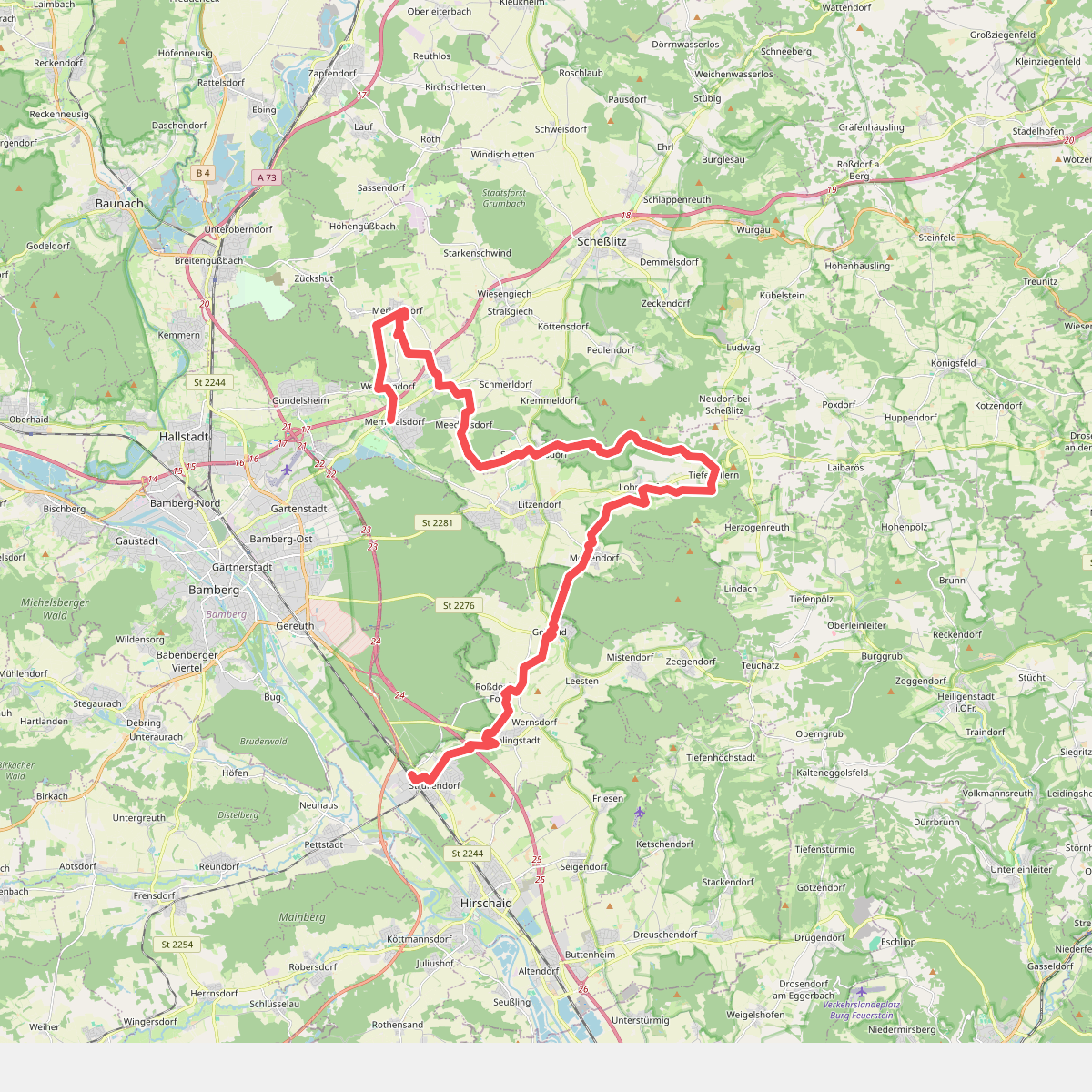
#1. 13 Brauereien Weg
Strullendorf,Geisberger Forst,Litzendorf,Scheßlitz,Memmelsdorf
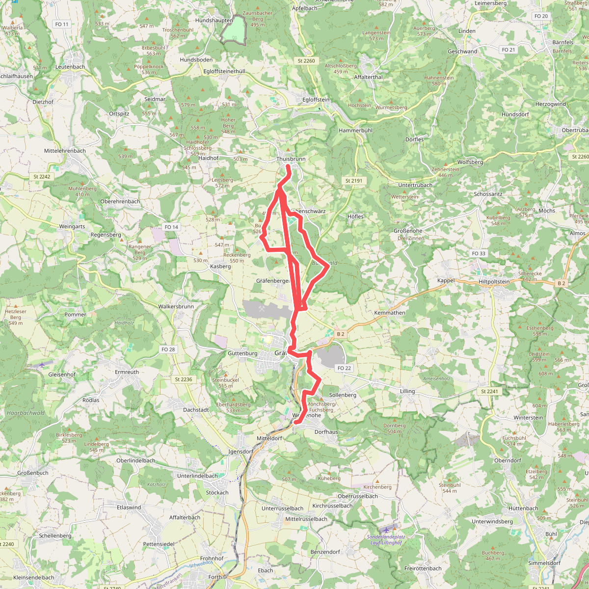
#2. 5-Seidla-Steig
Weißenohe,Gräfenberg
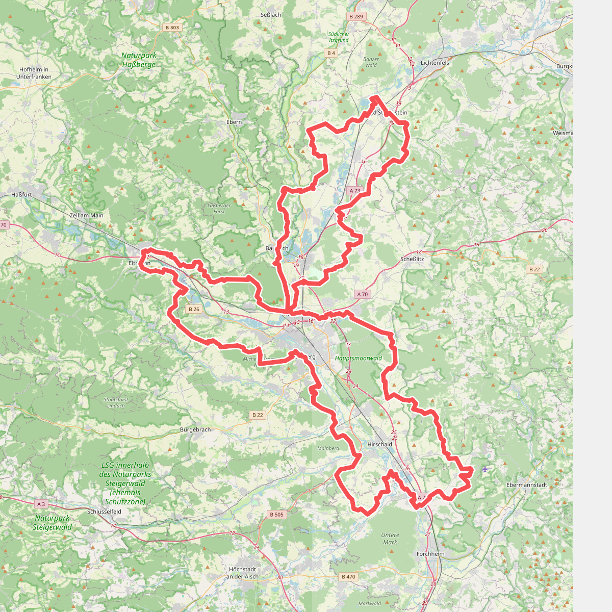
#3. 7-Flüsse-Wanderweg
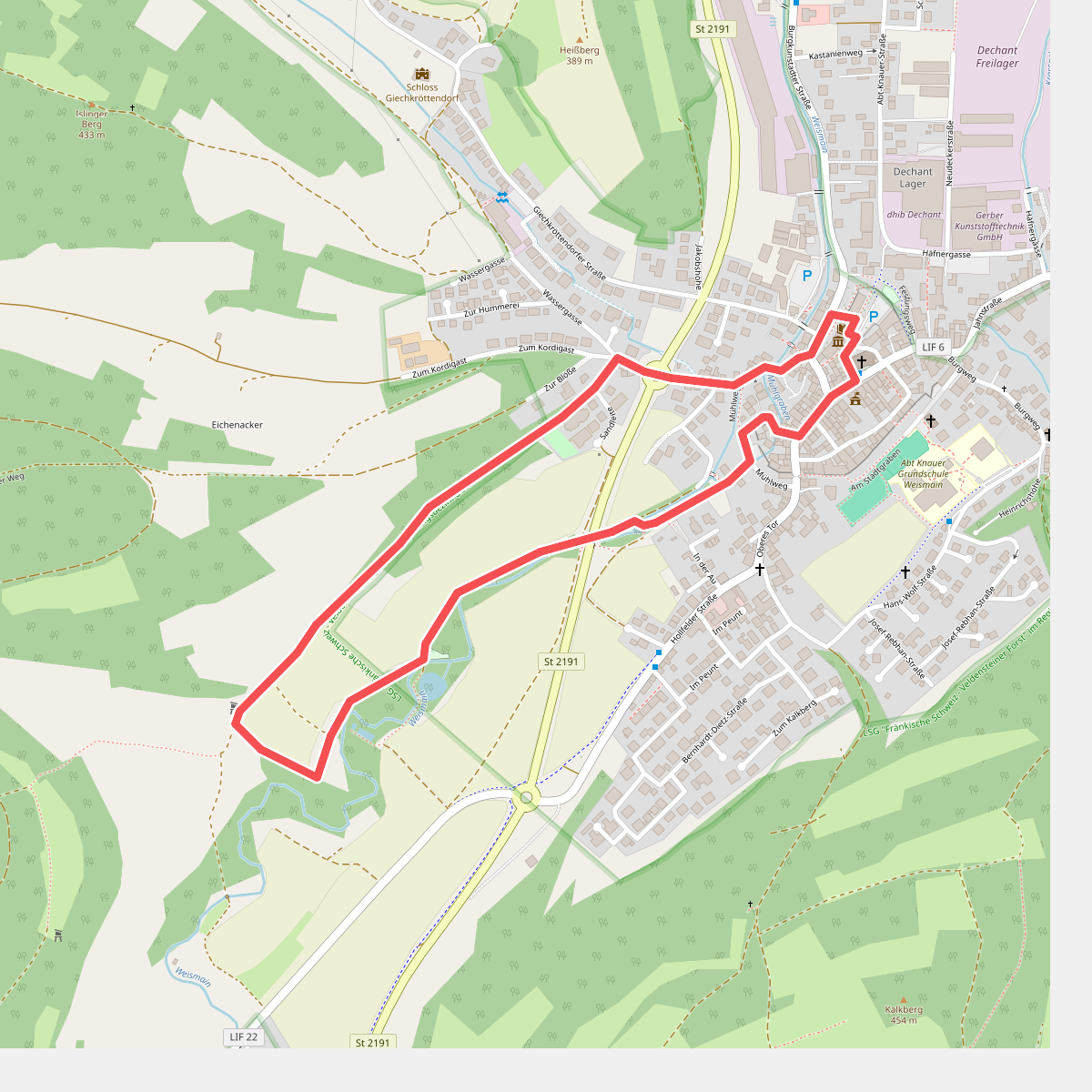
#4. Adolf-Kolping-Gedächtnisweg
Weismain
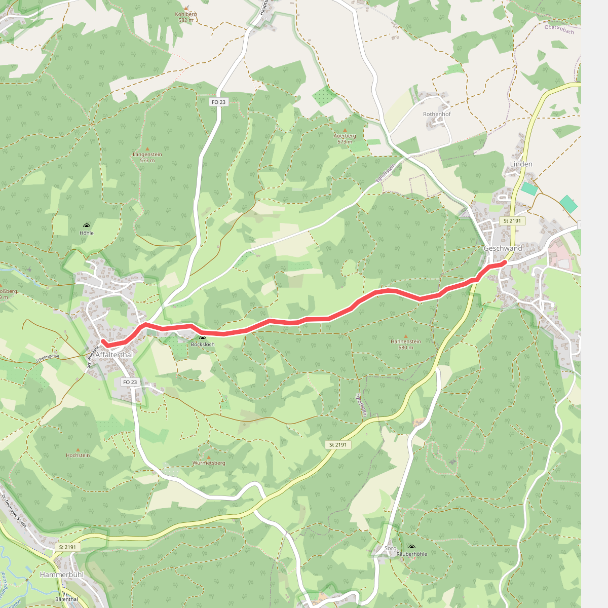
#5. Affalterthal-Geschwand
Obertrubach,Egloffstein
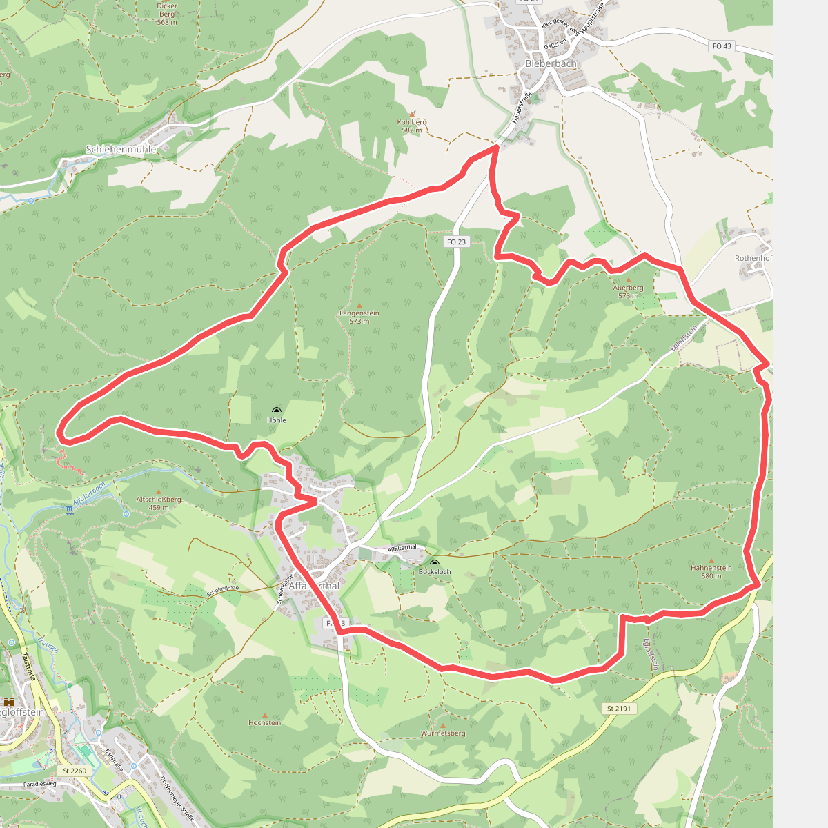
#6. Affalterthaler Höhenrundweg
Egloffstein,Obertrubach
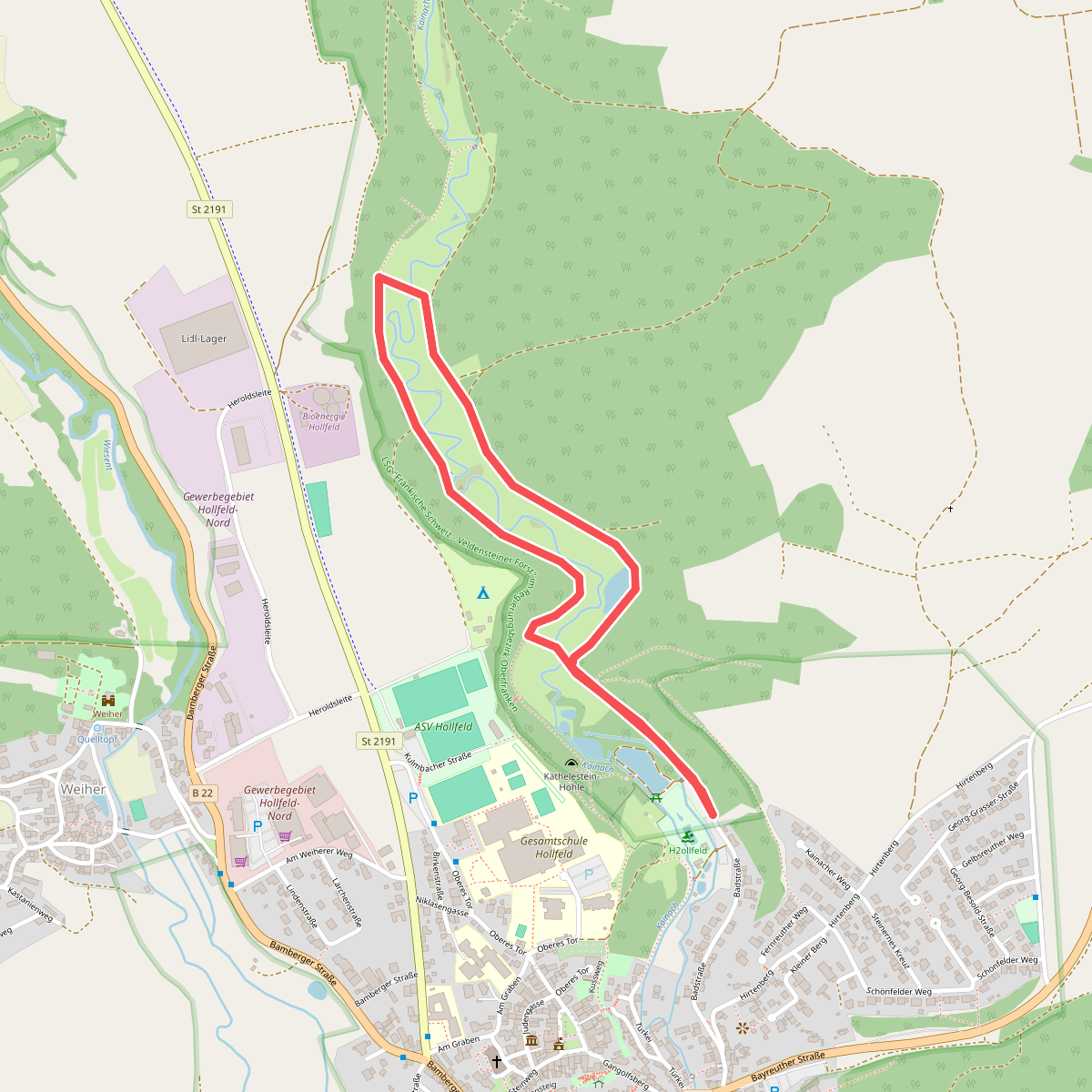
#7. Aktiv-Park Blauer Trail
Hollfeld
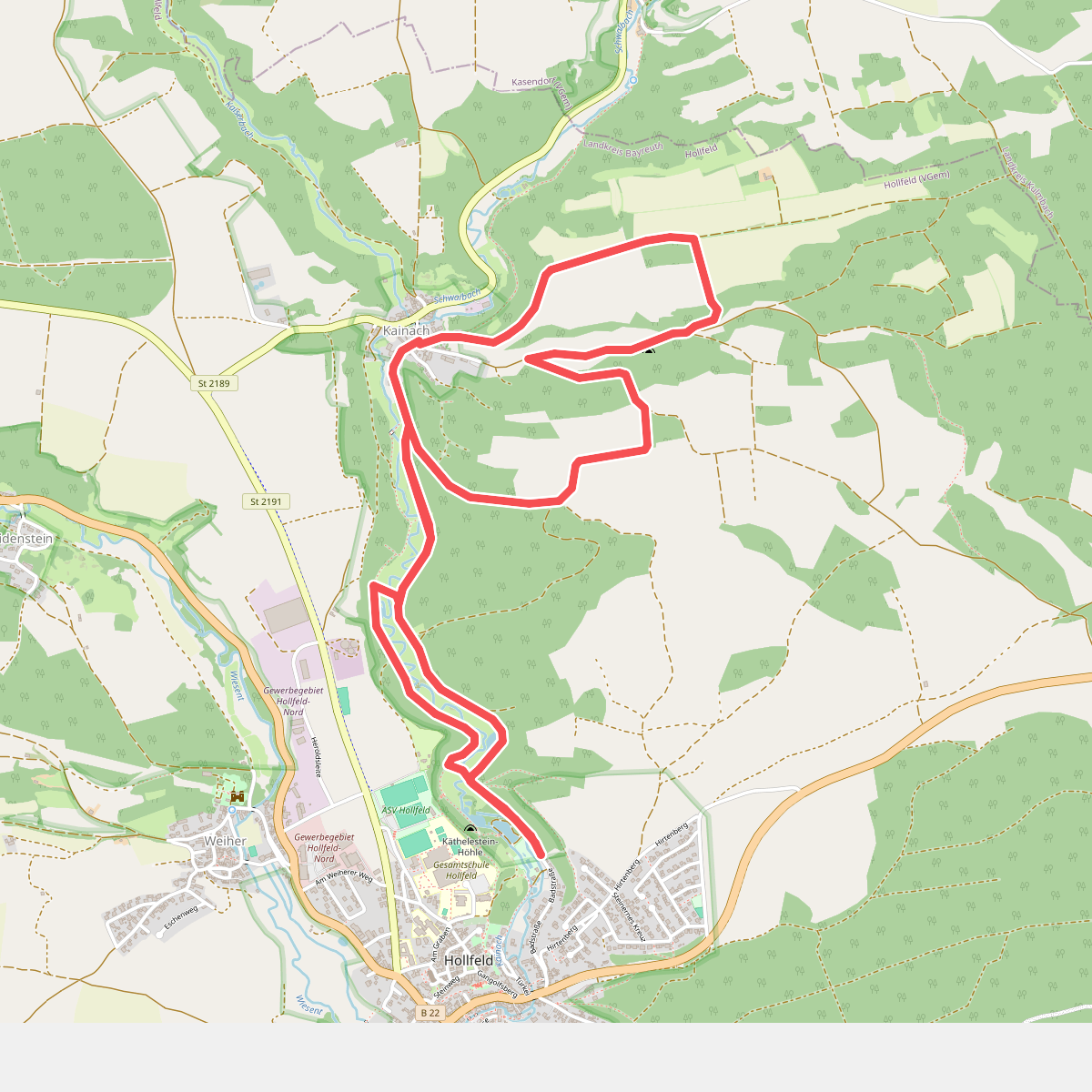
#8. Aktiv-Park Roter Trail
Hollfeld
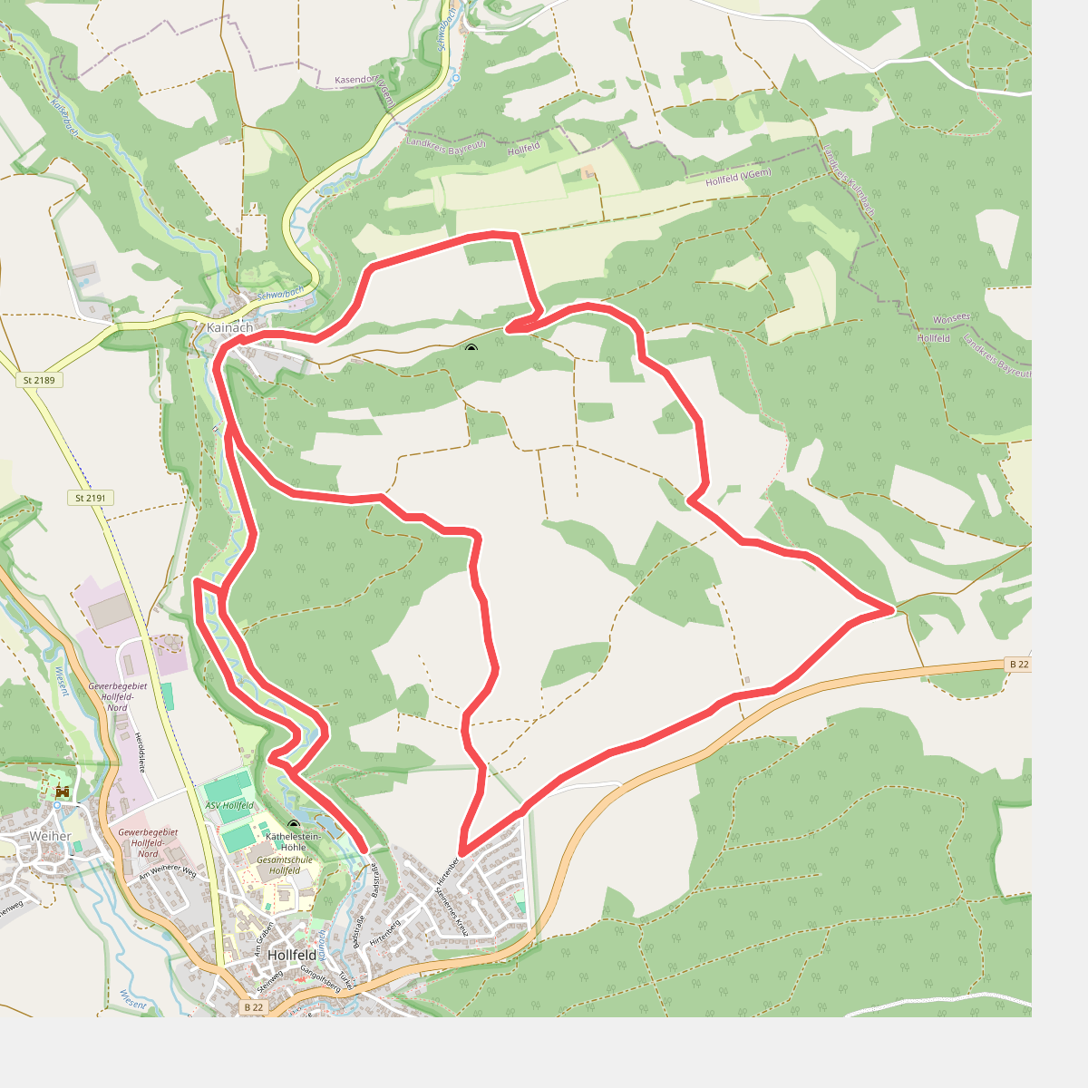
#9. Aktiv-Park Schwarzer Trail
Hollfeld
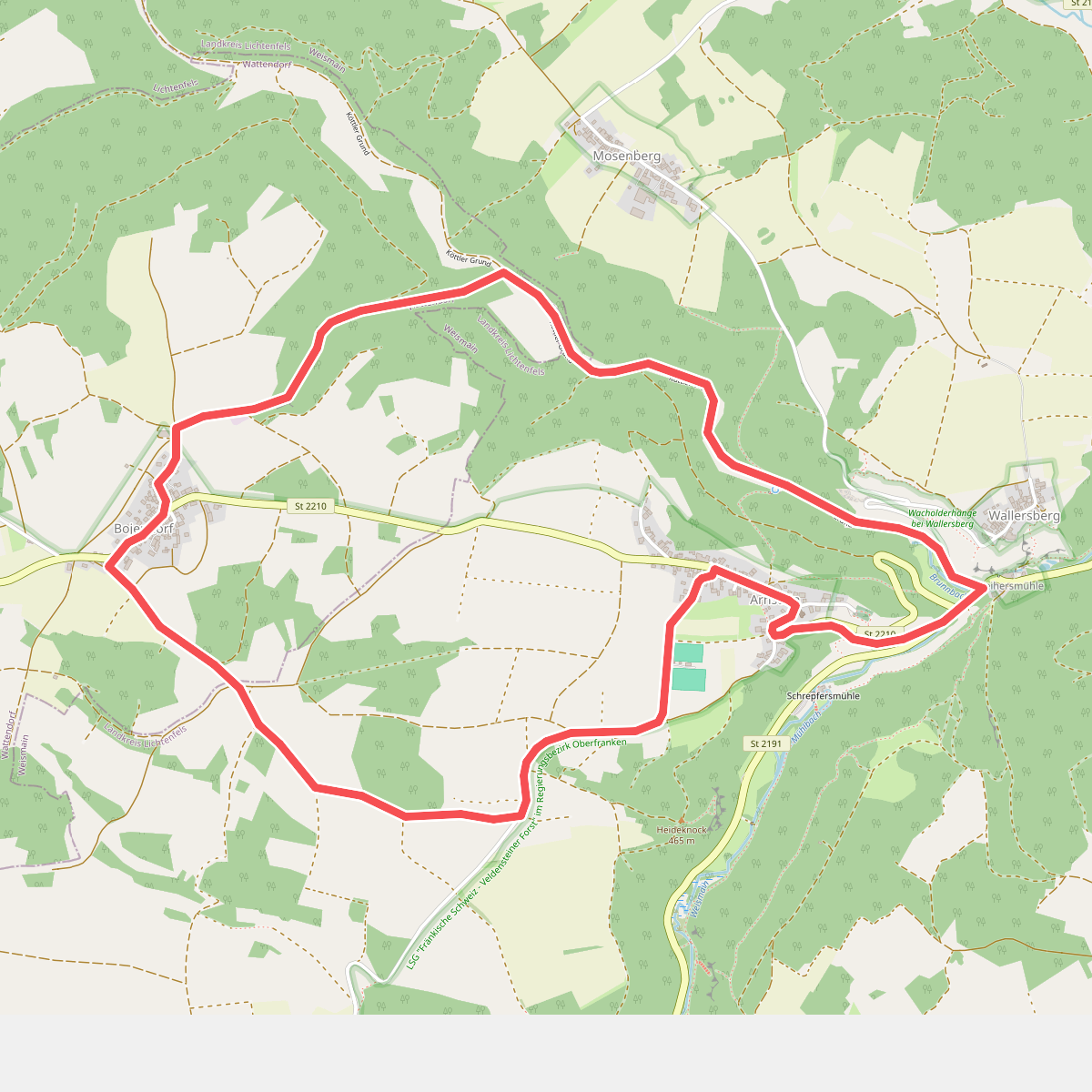
#10. Arnsteiner Rundweg (Weismain)
Weismain,Wattendorf
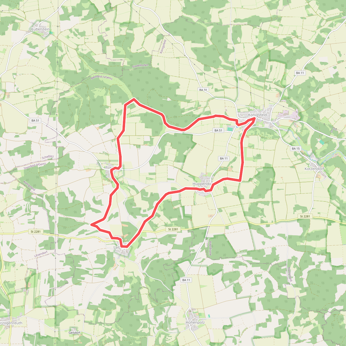
#11. Auf den Höhen des Jura
Königsfeld
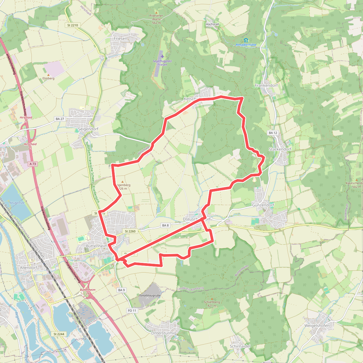
#12. Auf den Spuren der Kult-Jeans
Buttenheim,Hirschaid



