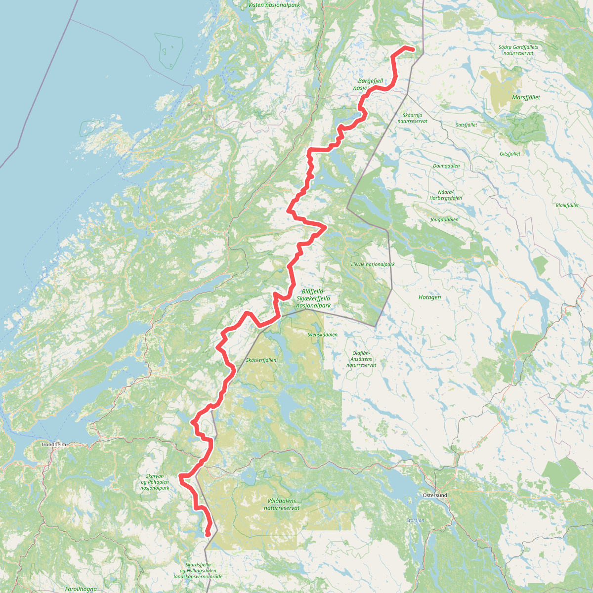
The best hiking routes in Lierne nasjonalpark
Discover the best walks in Lierne nasjonalpark. 1 routes on the map, with descriptions, photos and GPX.
Managed by Blåfjella-Skjækerfjella-Lierne nasjonalparkstyre / Låarte-Skæhkeren-Lijre nasjonalpaarhkeståvroe
About Lierne nasjonalpark
Lierne nasjonalpark is a remote mountain plateau characterized by low, rolling hills, vast peat bogs, and numerous shallow lakes. Unlike the dramatic, jagged peaks found along the Norwegian coast, this landscape is gentle and open, dominated by dwarf birch, heather, and willow scrub. The terrain is shaped by glacial deposits, leaving distinctive ridges of gravel and sand, known as eskers, winding through the wetlands. Walking here requires navigating a mosaic of dry, stony ridges and wide, waterlogged mires.
Read more
About Lierne nasjonalpark
Lierne nasjonalpark is a remote mountain plateau characterized by low, rolling hills, vast peat bogs, and numerous shallow lakes. Unlike the dramatic, jagged peaks found along the Norwegian coast, this landscape is gentle and open, dominated by dwarf birch, heather, and willow scrub. The terrain is shaped by glacial deposits, leaving distinctive ridges of gravel and sand, known as eskers, winding through the wetlands. Walking here requires navigating a mosaic of dry, stony ridges and wide, waterlogged mires.
Read moreLierne nasjonalpark is a remote mountain plateau characterized by low, rolling hills, vast peat bogs, and numerous shallow lakes. Unlike the dramatic, jagged peaks found along the Norwegian coast, this landscape is gentle and open, dominated by dwarf birch, heather, and willow scrub. The terrain is shaped by glacial deposits, leaving distinctive ridges of gravel and sand, known as eskers, winding through the wetlands. Walking here requires navigating a mosaic of dry, stony ridges and wide, waterlogged mires.
There are no marked trails, cabins, or boardwalks within the park boundaries. Underfoot, you will encounter raw, natural surfaces: spongy peat, thick moss, and loose stones on the higher ridges. Route-finding relies entirely on map and compass skills, as there are no signposts to guide you. The ground is naturally wet, and crossing the numerous streams and boggy sections requires careful route selection, especially in early summer when snowmelt fills the depressions.
This park is suited for self-sufficient walkers seeking a quiet, undeveloped landscape. While the lack of infrastructure keeps visitor numbers low, it demands preparation for wilderness navigation. The open terrain offers clear sightlines across the low hills, but the uniform vegetation and lack of distinct landmarks mean you must pay close attention to the topography.