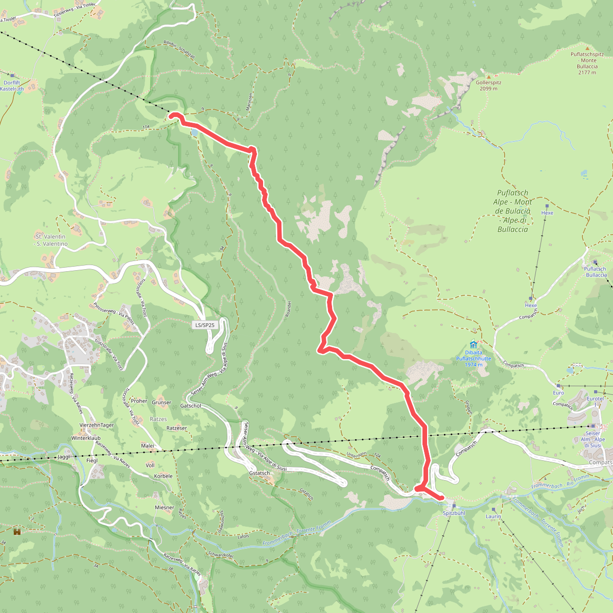
The best hiking routes in Landschaftsschutzgebiet Seiser Alm – Zona di Tutela Paesaggistica dell'Alpe di Siusi
Discover the best walks in Landschaftsschutzgebiet Seiser Alm – Zona di Tutela Paesaggistica dell'Alpe di Siusi. 19 routes on the map, with descriptions, photos and GPX.
About Landschaftsschutzgebiet Seiser Alm – Zona di Tutela Paesaggistica dell'Alpe di Siusi
Landschaftsschutzgebiet Seiser Alm - Zona di Tutela Paesaggistica dell'Alpe di Siusi is a vast, high-altitude alpine pasture characterized by its rolling meadows and absence of steep, jagged peaks within its immediate boundaries. Walkers will find a landscape shaped by centuries of traditional hay farming and cattle grazing, which keeps the meadows open and prevents forest encroachment. The terrain is dominated by wide, grassy slopes, pockets of spruce forest, and marshy peat bogs, offering a softer underfoot experience than the rugged limestone walls that frame the horizon.
Read more
About Landschaftsschutzgebiet Seiser Alm – Zona di Tutela Paesaggistica dell'Alpe di Siusi
Landschaftsschutzgebiet Seiser Alm - Zona di Tutela Paesaggistica dell'Alpe di Siusi is a vast, high-altitude alpine pasture characterized by its rolling meadows and absence of steep, jagged peaks within its immediate boundaries. Walkers will find a landscape shaped by centuries of traditional hay farming and cattle grazing, which keeps the meadows open and prevents forest encroachment. The terrain is dominated by wide, grassy slopes, pockets of spruce forest, and marshy peat bogs, offering a softer underfoot experience than the rugged limestone walls that frame the horizon.
Read moreLandschaftsschutzgebiet Seiser Alm - Zona di Tutela Paesaggistica dell'Alpe di Siusi is a vast, high-altitude alpine pasture characterized by its rolling meadows and absence of steep, jagged peaks within its immediate boundaries. Walkers will find a landscape shaped by centuries of traditional hay farming and cattle grazing, which keeps the meadows open and prevents forest encroachment. The terrain is dominated by wide, grassy slopes, pockets of spruce forest, and marshy peat bogs, offering a softer underfoot experience than the rugged limestone walls that frame the horizon.
Underfoot, the trail network consists of a mix of wide gravel agricultural tracks, narrow dirt paths cutting through the grass, and occasional wooden boardwalks over fragile wetland sections. The lack of scree slopes or technical scrambles makes this area accessible for those seeking steady, moderate ascents rather than vertical climbs. In June, the meadows are dense with alpine wildflowers, while October brings yellowing larches and quieter paths after the summer grazing season ends.
Because the area is highly accessible by cable car, the main gravel tracks near the mountain stations are often busy with visitors. Walkers looking for quieter paths should head toward the smaller dirt trails that wind through the southern marshlands and higher pastures. This protected area is not a wilderness of untouched forests, but a managed cultural landscape where working farms, alpine huts, and grazing livestock are visible from almost every trail.
Hiking routes in Landschaftsschutzgebiet Seiser Alm – Zona di Tutela Paesaggistica dell'Alpe di Siusi (19)
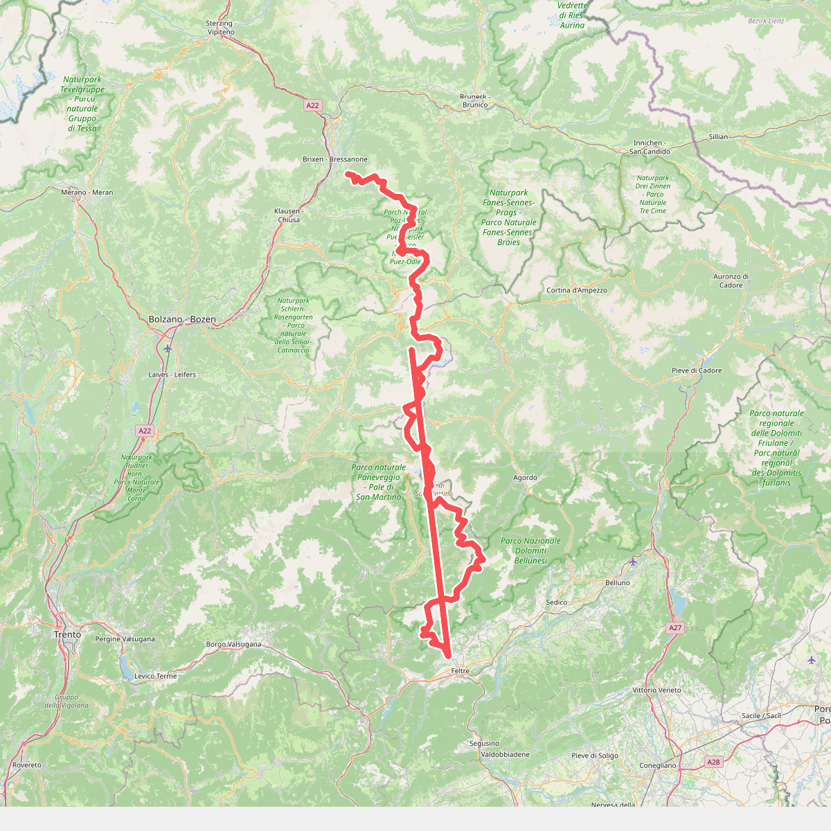
#1. Alta Via n. 2 delle Dolomiti - Dolomiten-Höhenweg Nr. 2
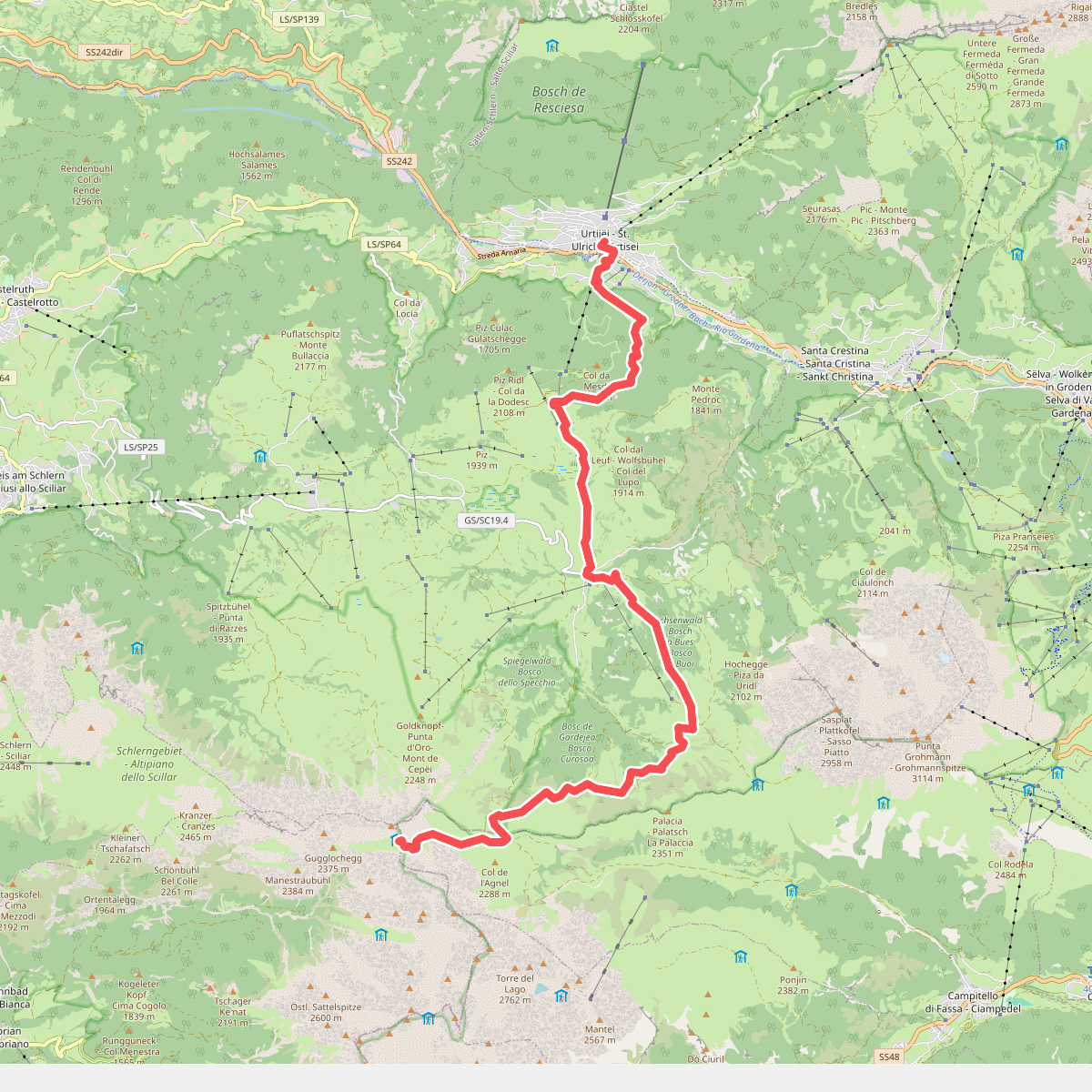
#2. Dolomites World Heritage Geotrail 10
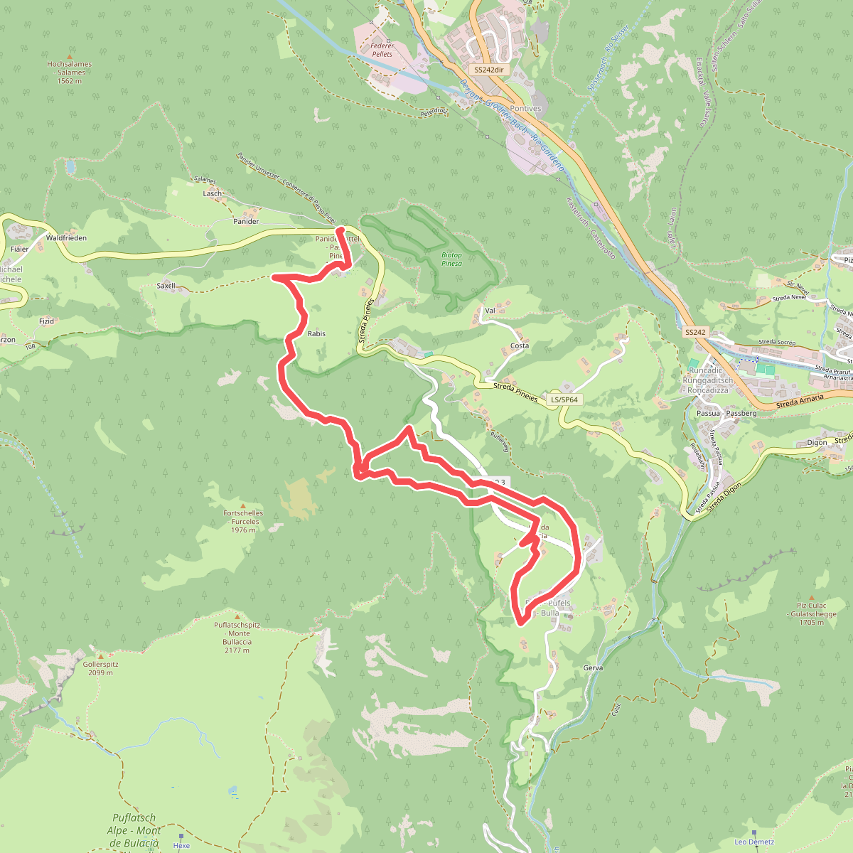
#3. Geotrail Bula - Pufels - Bulla
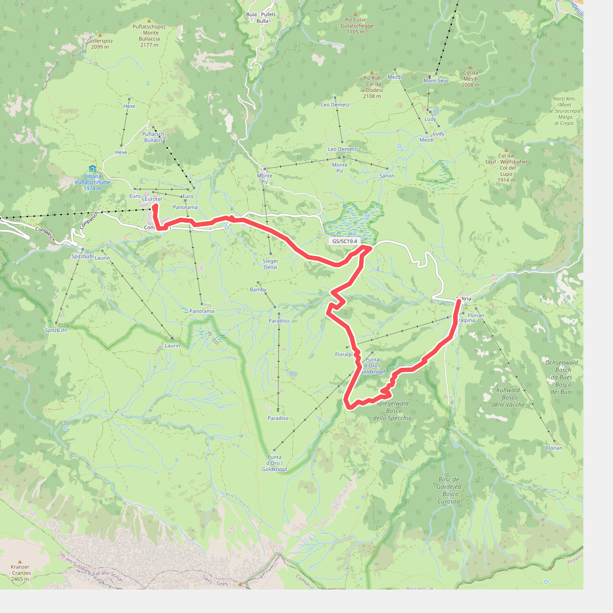
#4. Hans und Paula Steger Weg - Sentiero Hans e Paula Steger
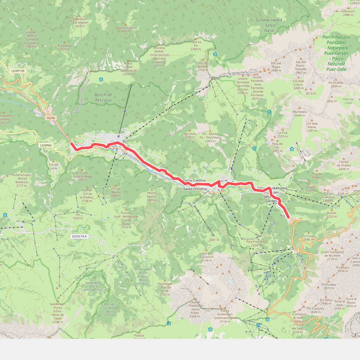
#5. La Ferata
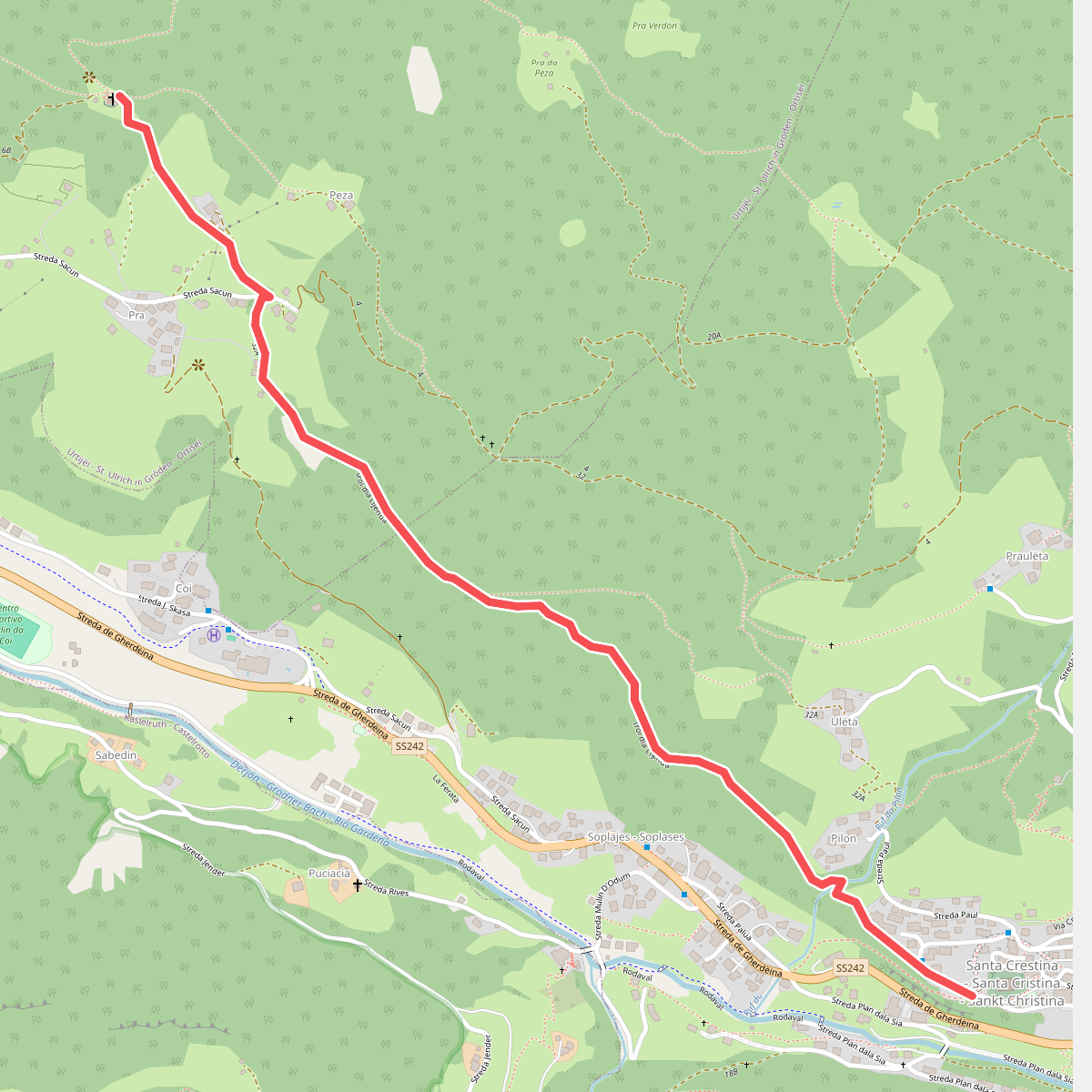
#6. Legendenweg
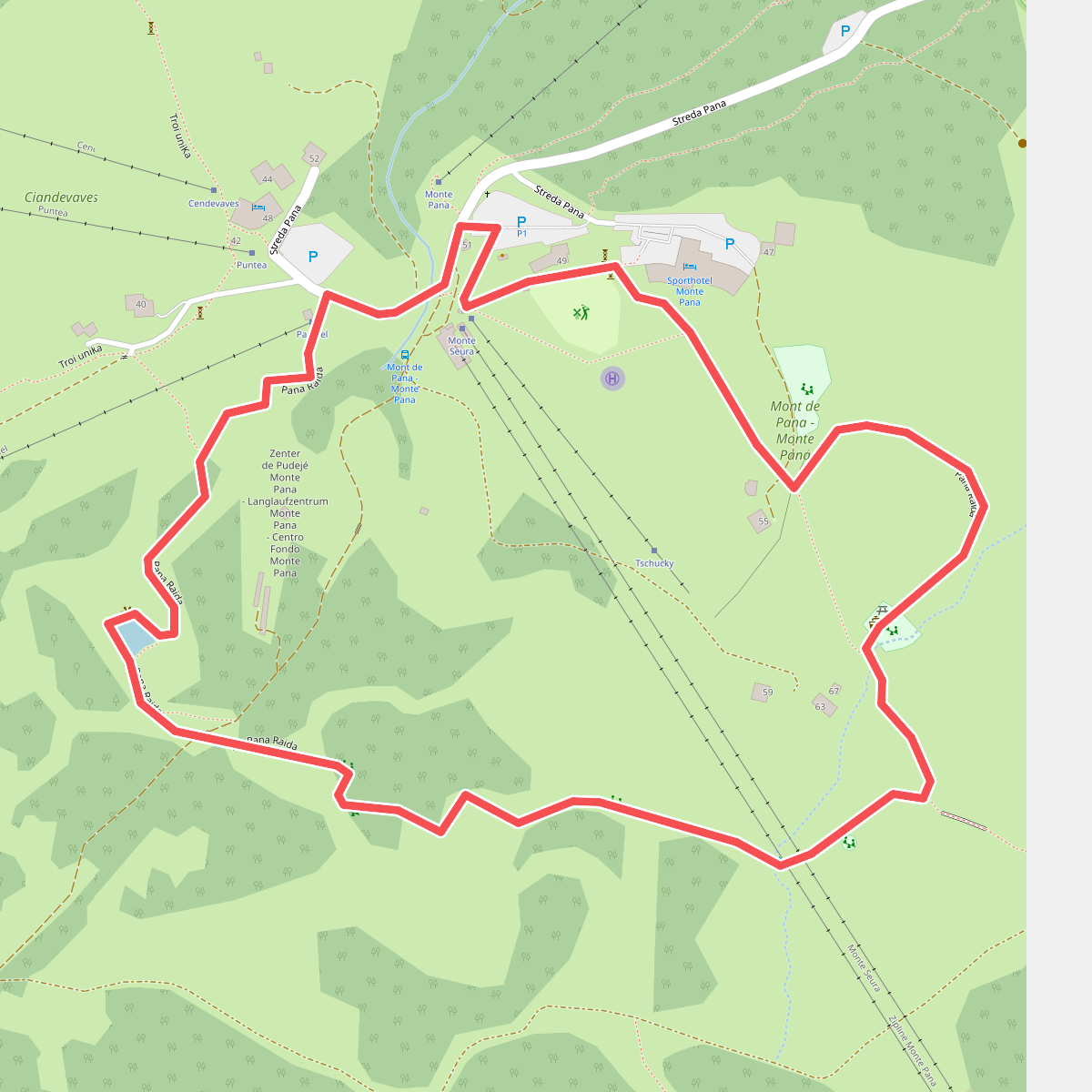
#7. Pana Raida
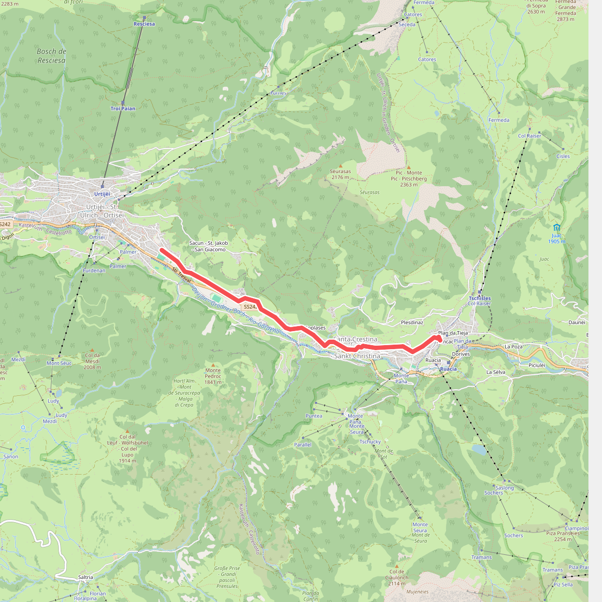
#8. Planetenweg
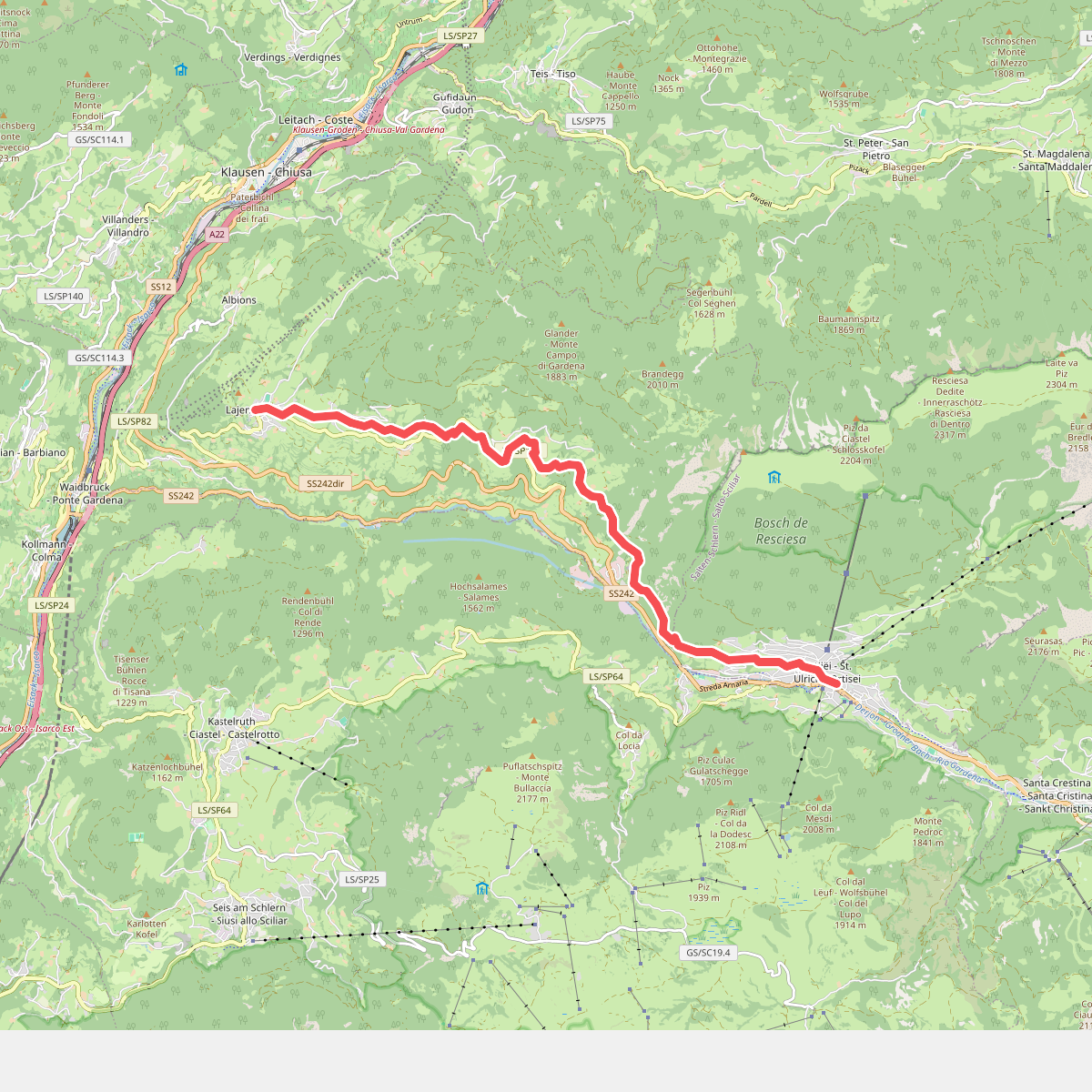
#9. Poststeig
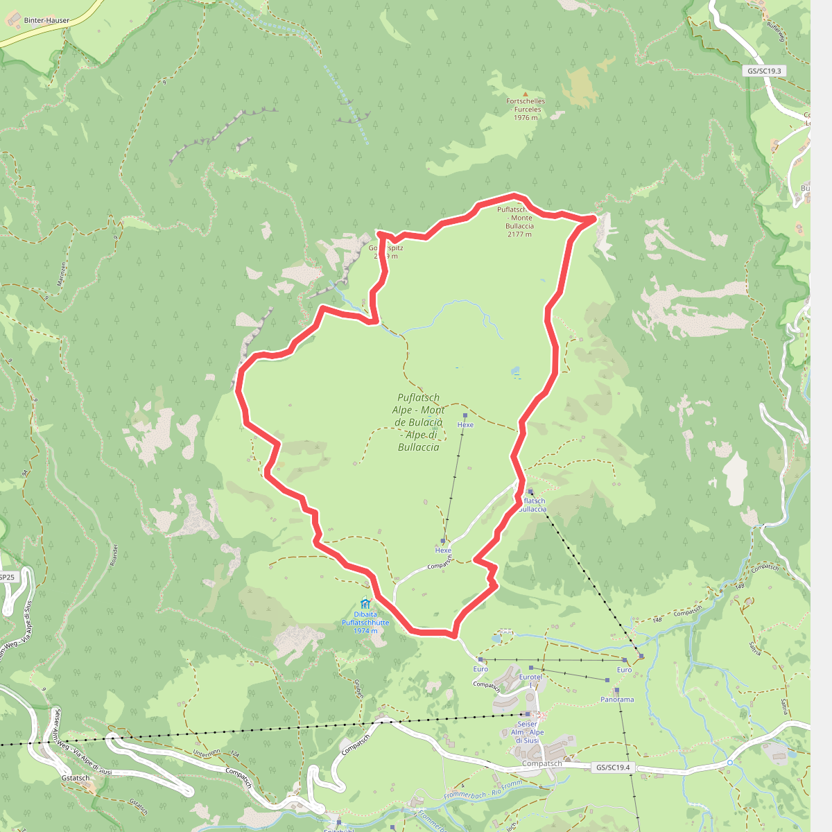
#10. Puflatschumrundung - Giro del Bulacia
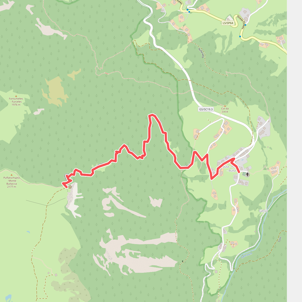
#11. Schnürlsteig