

The best hiking routes in Karkonoski Park Narodowy
Discover the best walks in Karkonoski Park Narodowy. 17 routes on the map, with descriptions, photos and GPX.
About Karkonoski Park Narodowy
Karkonoski Park Narodowy covers the high-altitude granite ridge of the Giant Mountains along the Polish-Czech border. Unlike the limestone crags found in other Central European ranges, this landscape is defined by massive, rounded granite domes, steep-sided glacial cirques, and flat, subalpine peat bogs. Walkers will immediately notice the transition from dense spruce forests on the lower slopes to dwarf pine scrub, and finally to open alpine tundra on the highest ridges, where the weather-beaten granite outcrops known as tor formations shape the skyline.
Read more
About Karkonoski Park Narodowy
Karkonoski Park Narodowy covers the high-altitude granite ridge of the Giant Mountains along the Polish-Czech border. Unlike the limestone crags found in other Central European ranges, this landscape is defined by massive, rounded granite domes, steep-sided glacial cirques, and flat, subalpine peat bogs. Walkers will immediately notice the transition from dense spruce forests on the lower slopes to dwarf pine scrub, and finally to open alpine tundra on the highest ridges, where the weather-beaten granite outcrops known as tor formations shape the skyline.
Read moreKarkonoski Park Narodowy covers the high-altitude granite ridge of the Giant Mountains along the Polish-Czech border. Unlike the limestone crags found in other Central European ranges, this landscape is defined by massive, rounded granite domes, steep-sided glacial cirques, and flat, subalpine peat bogs. Walkers will immediately notice the transition from dense spruce forests on the lower slopes to dwarf pine scrub, and finally to open alpine tundra on the highest ridges, where the weather-beaten granite outcrops known as tor formations shape the skyline.
Underfoot, the trails vary significantly depending on your elevation. Lower paths consist of wide, stony forestry tracks and steep, cobbled stone paths built from local granite, which require sturdy footwear. On the high, boggy plateaus, such as the area around the peatlands of Równia pod Śnieżką, walkers traverse long wooden boardwalks designed to protect the fragile subalpine vegetation. The terrain is physically demanding, featuring sustained climbs rather than gentle rolling hills, with the highest point, Śnieżka, rising sharply above the surrounding treeless plains.
In late spring, usually around May, the melting snow reveals the stark contrast between the dark green dwarf pines and the pale, dry grasses of the alpine meadows. The park is highly accessible and well-marked, meaning that popular trailheads near Szklarska Poręba and Karpacz, as well as the main ridge path, are often busy with other walkers. Those seeking quieter routes should look to the less frequented side valleys and lower forest paths, where the landscape is enclosed by trees rather than exposed to the elements.
Hiking routes in Karkonoski Park Narodowy (17)
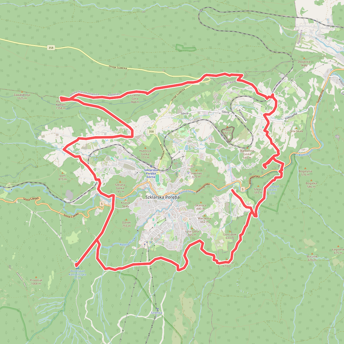
#1. Duża Sztaudyngerowska Trasa Turystyczna
Szklarska Poręba,Piechowice,Kopaniec
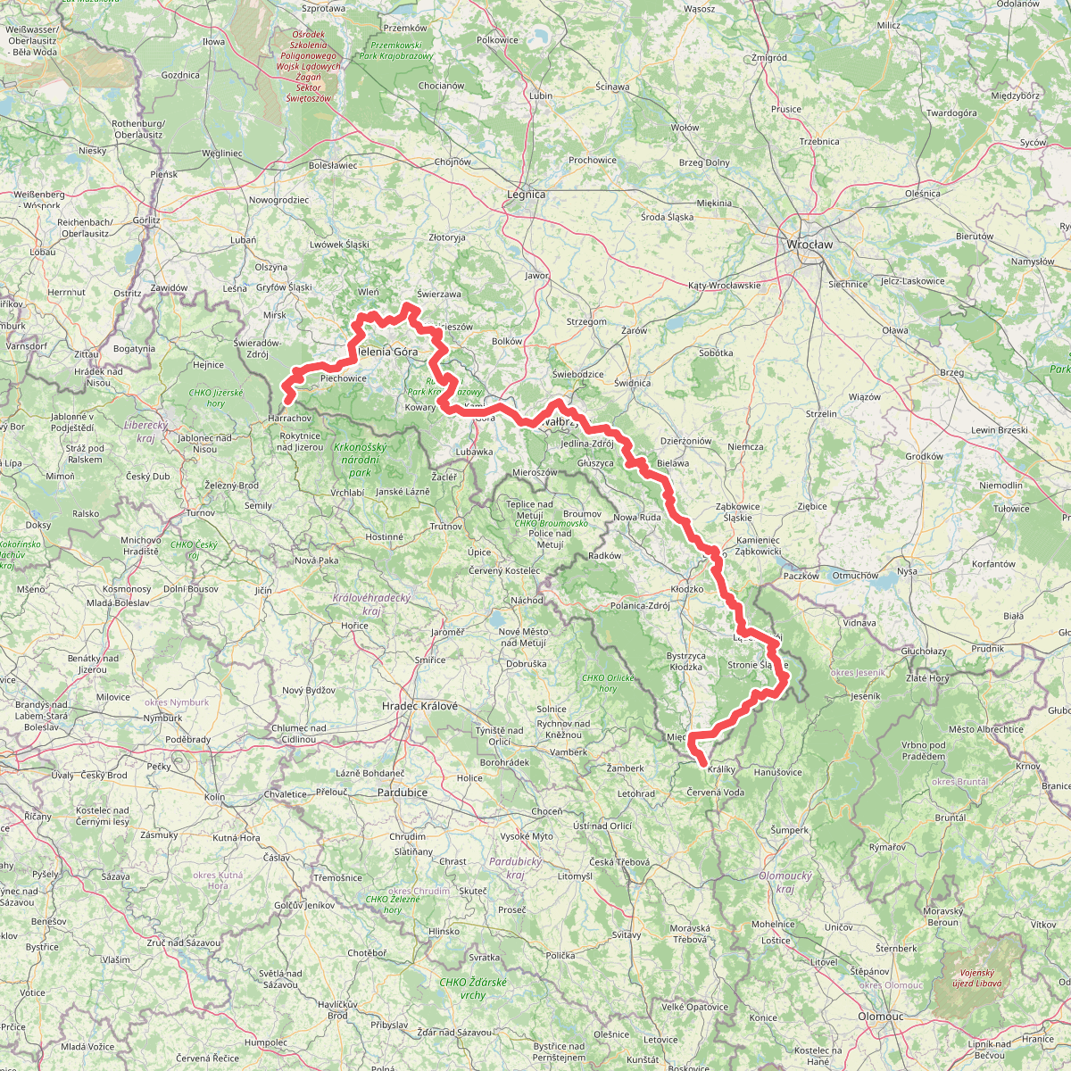
#2. European long distance path E3 - part Poland (west)
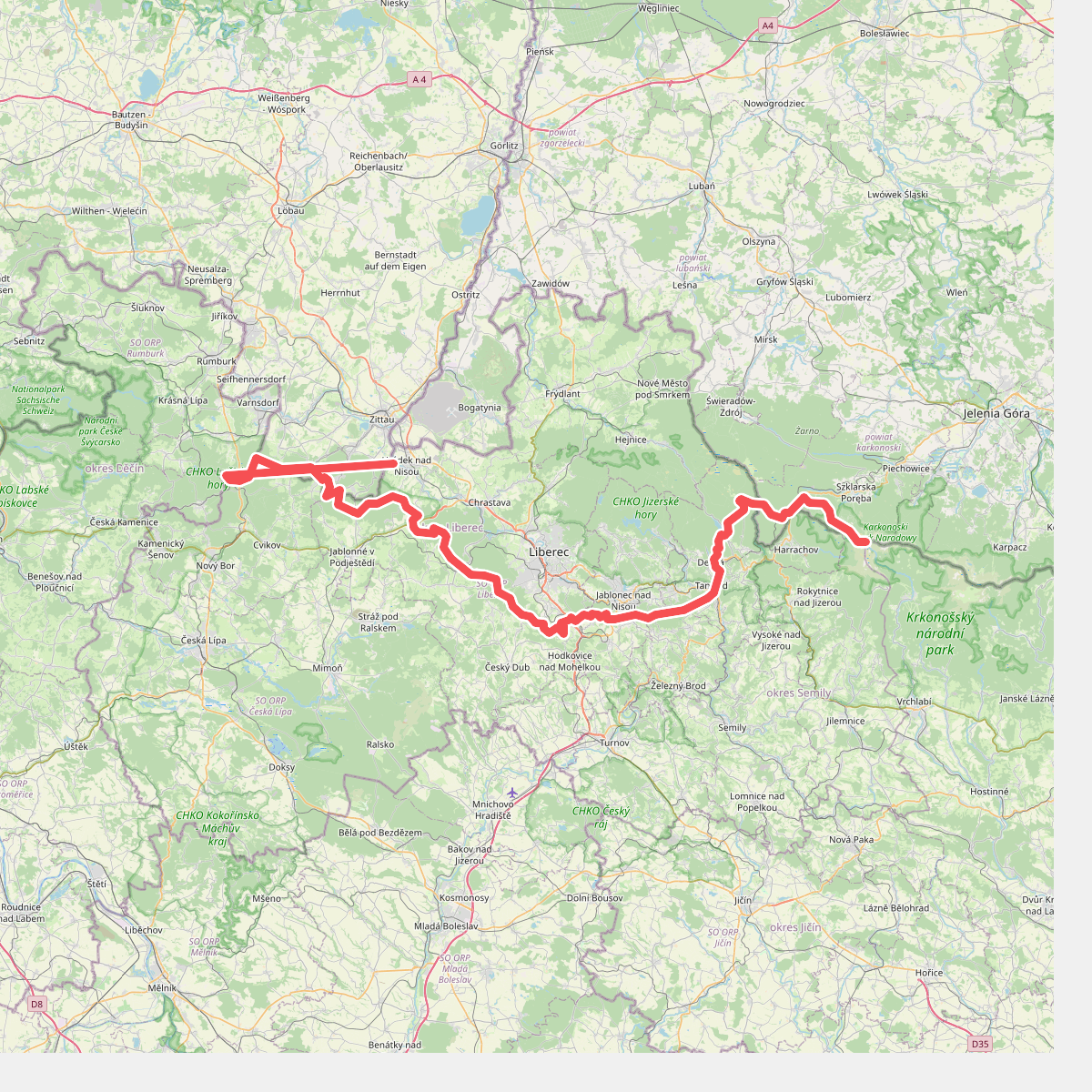
#3. Hřebenovka (Liberecký kraj)
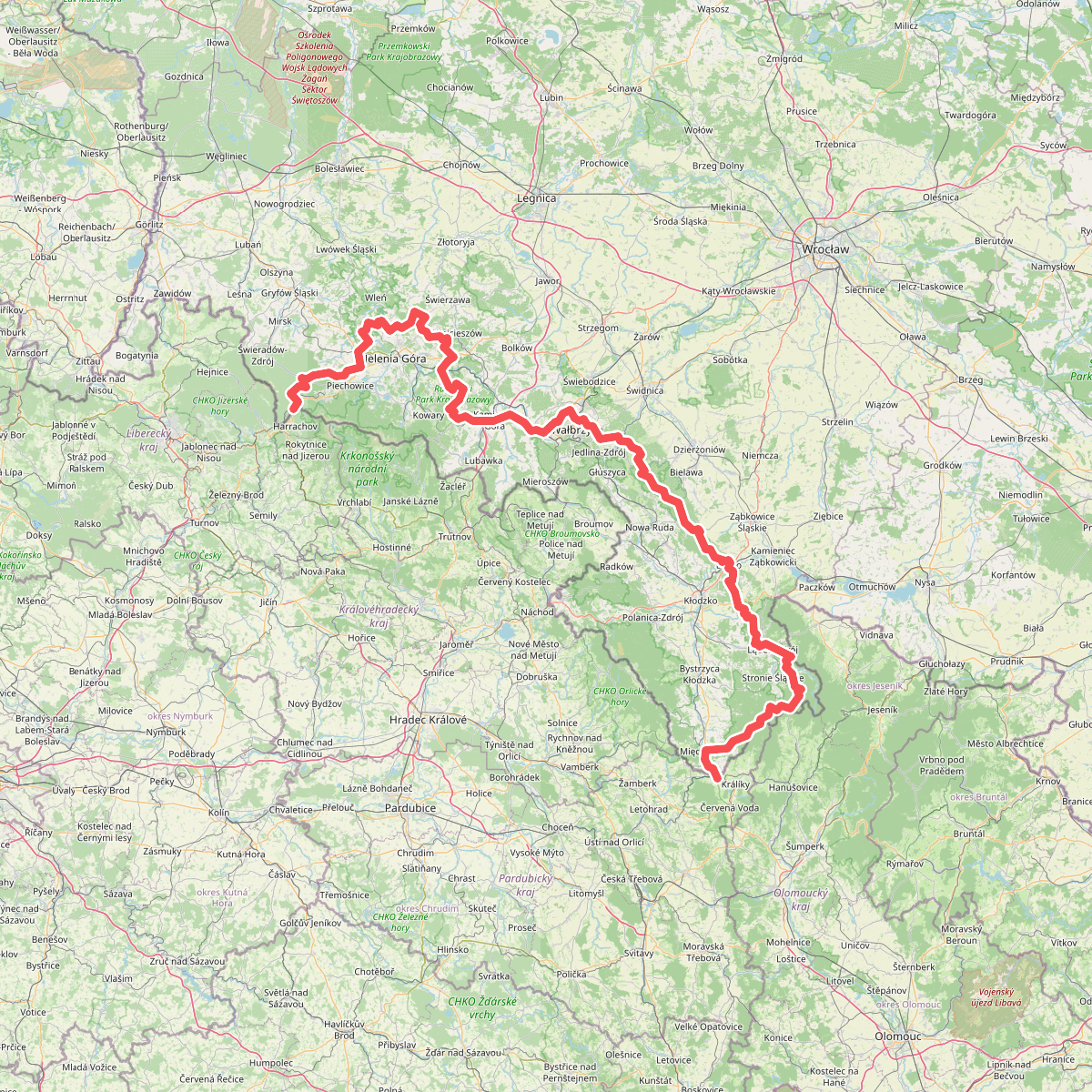
#4. Internationaler Bergwanderweg Eisenach–Budapest (Polen West)
![[M] Harrachov - Špindlerův mlýn](https://wandelweb.fsn1.your-objectstorage.com/tracks/static-maps/37402-1779135016-large.png)
#5. [M] Harrachov - Špindlerův mlýn
Harrachov,Rokytnice nad Jizerou,Vítkovice,Špindlerův Mlýn
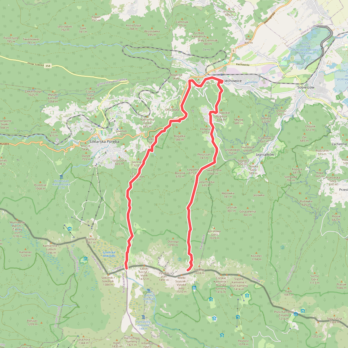
#6. Piechowice - Pod Wielkim Szyszakiem
Piechowice,Szklarska Poręba
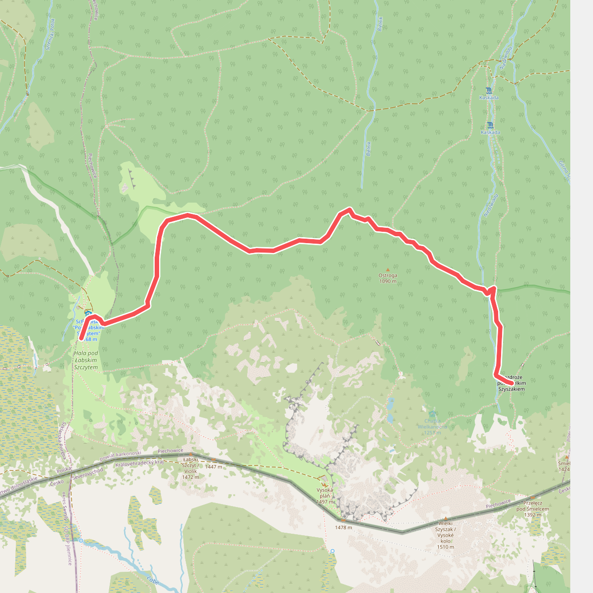
#7. Pod Łabskim Szczytem - Rozdroże pod Wielkim Szyszakiem
Piechowice
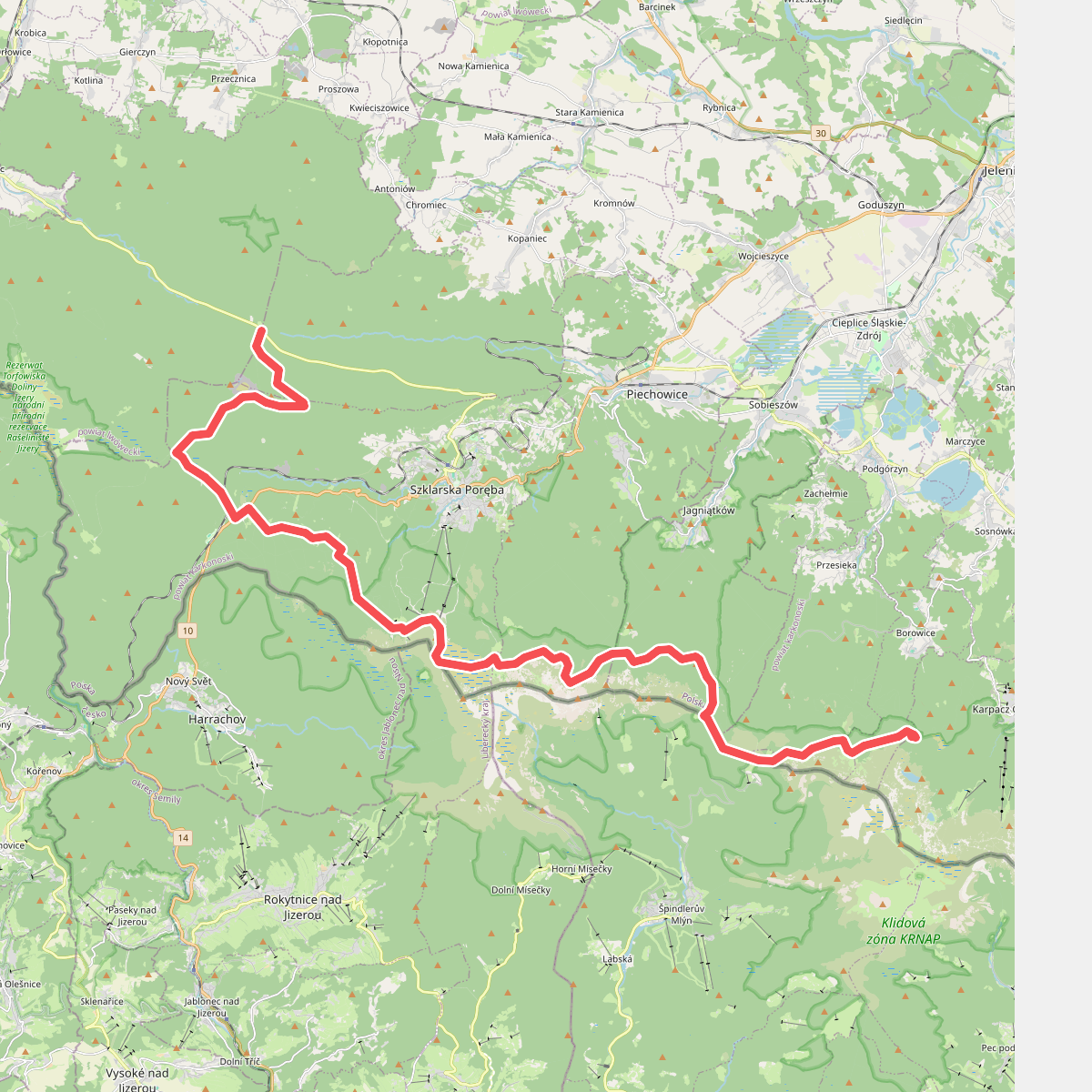
#8. Rozdroże Izerskie - Pielgrzymy
gmina Mirsk,Kopaniec,Szklarska Poręba,Piechowice,Jelenia Góra,Przesieka,Špindlerův Mlýn,Odrodzenie,Borowice,Karpacz
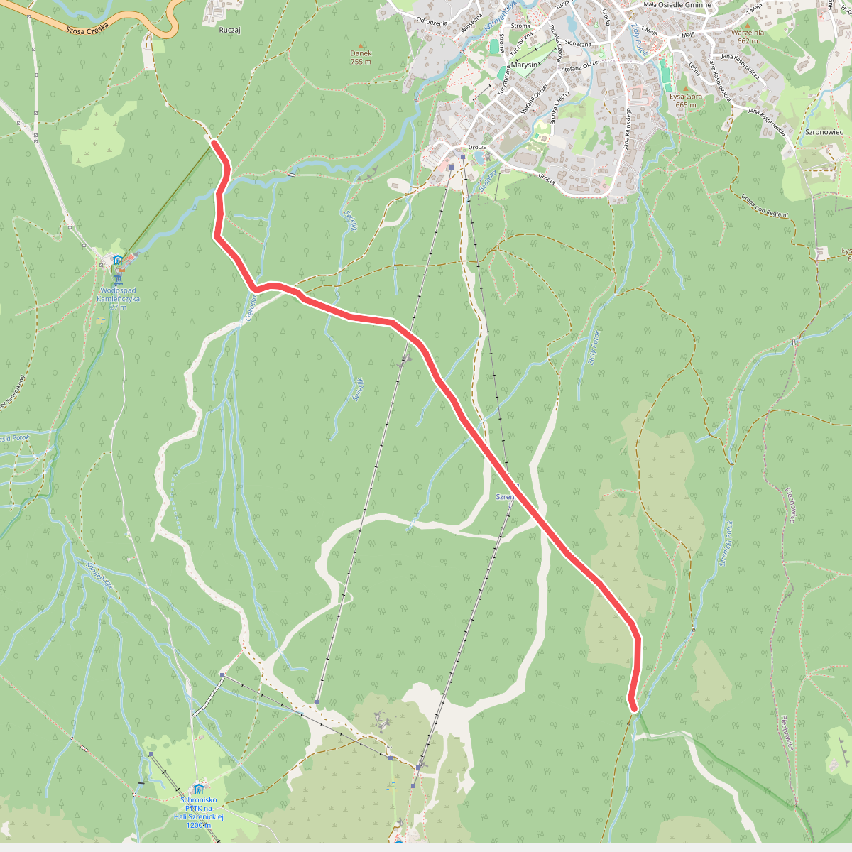
#9. Rozdroże pod Kamieńczykiem - Ryzy
Szklarska Poręba
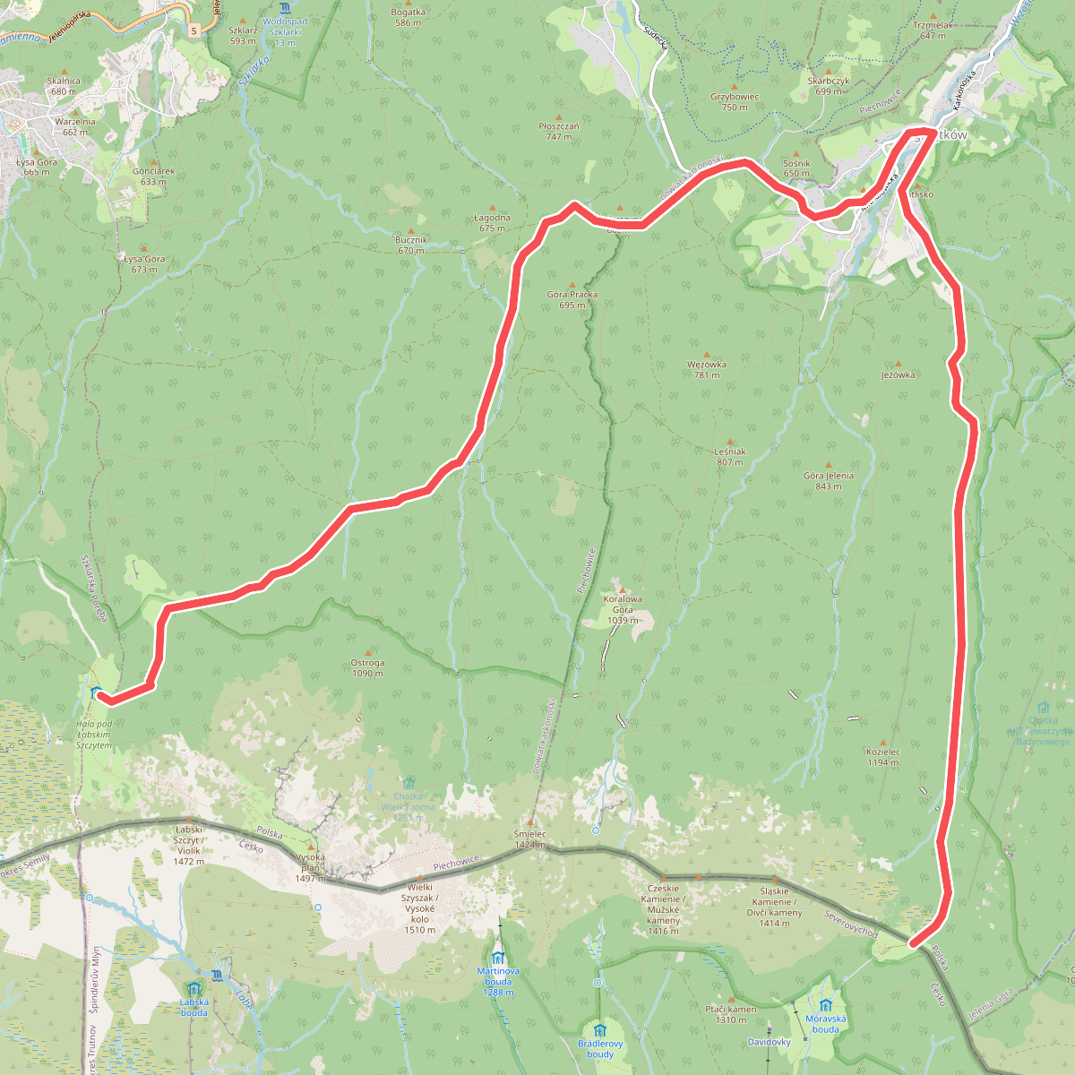
#10. Schronisko Pod Łabskim Szczytem - Pod Petrovou Boudou
Jelenia Góra,Piechowice
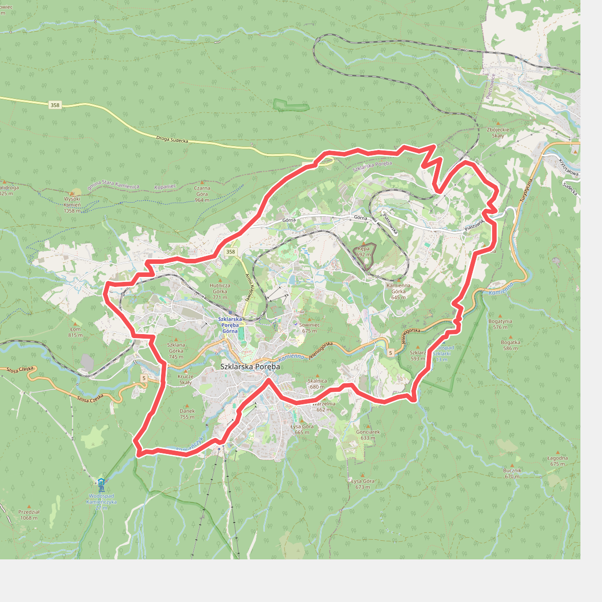
#11. Szlak dokoła Szklarskiej Poręby
Szklarska Poręba,Piechowice,Kopaniec
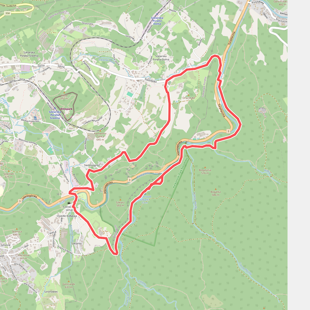
#12. Szlak Waloński - pętla I
Piechowice,Szklarska Poręba



