

The best hiking routes in Jostedalsbreen nasjonalpark
Discover the best walks in Jostedalsbreen nasjonalpark. 0 routes on the map, with descriptions, photos and GPX.
Managed by Jostedalsbreen nasjonalparkstyre
About Jostedalsbreen nasjonalpark
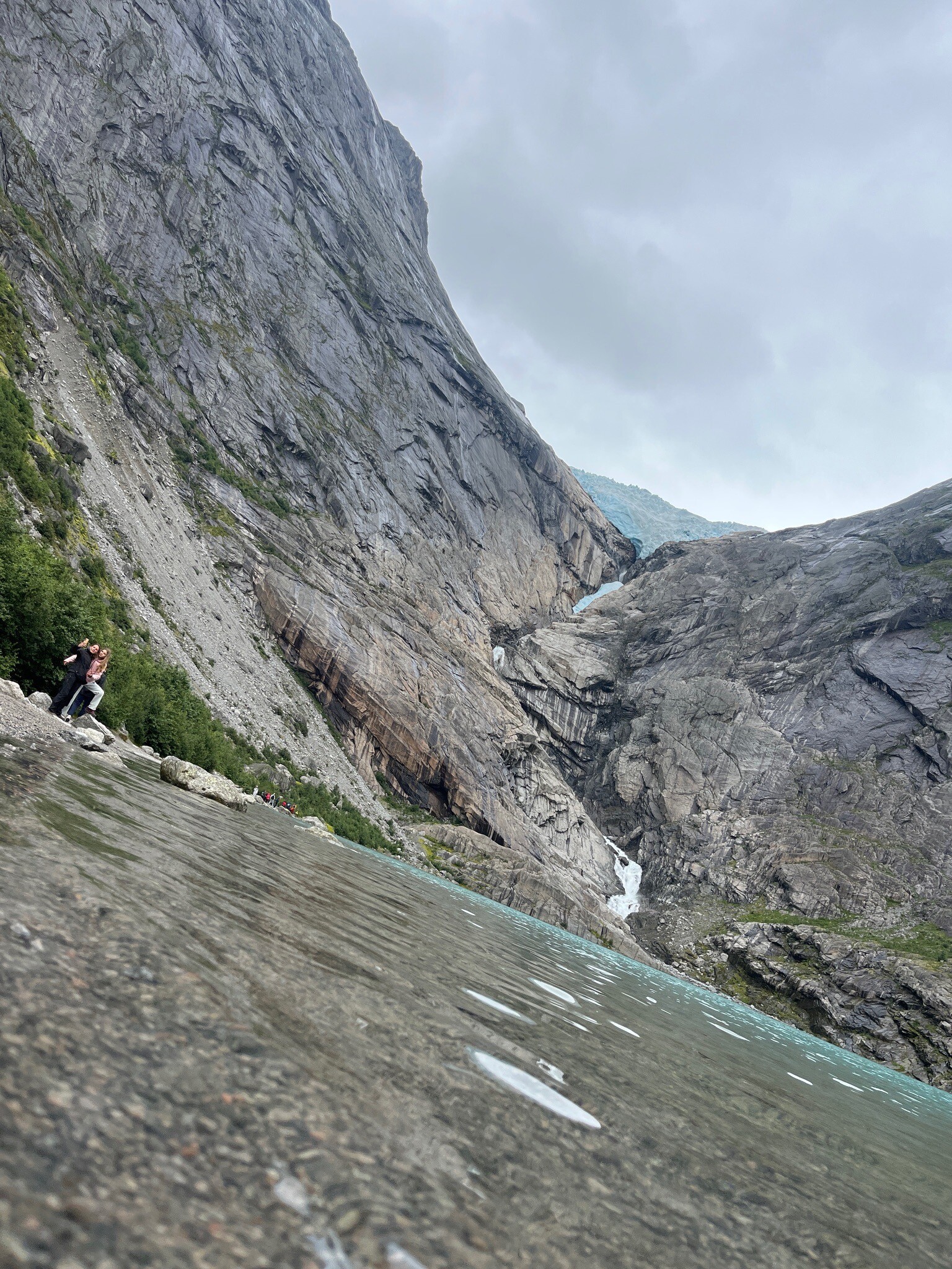
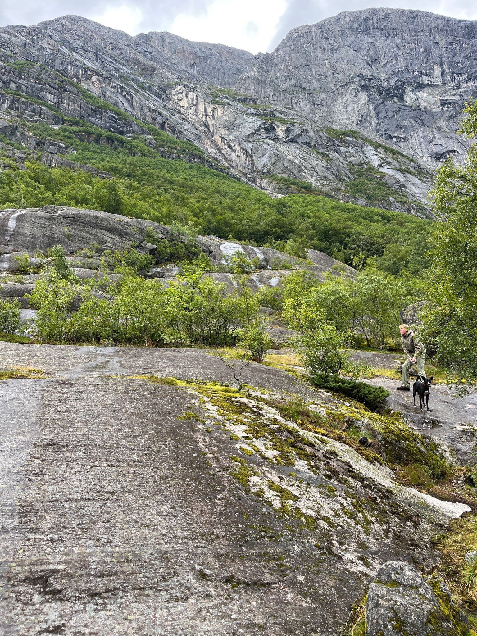
Jostedalsbreen nasjonalpark is defined by the immense ice cap that dominates the high plateau, sending massive glacier tongues down into the surrounding valleys. Walking here is a study in stark transitions. In the lower valleys, such as Jostedalen or Oldedalen, you walk through lush birch forests and alongside grey-green glacial rivers on gravel tracks and stony paths. As you ascend, the vegetation thins rapidly, replaced by bare, polished gneiss bedrock, loose scree, and moraine clay left behind by the retreating ice.
Read more
About Jostedalsbreen nasjonalpark
Jostedalsbreen nasjonalpark is defined by the immense ice cap that dominates the high plateau, sending massive glacier tongues down into the surrounding valleys. Walking here is a study in stark transitions. In the lower valleys, such as Jostedalen or Oldedalen, you walk through lush birch forests and alongside grey-green glacial rivers on gravel tracks and stony paths. As you ascend, the vegetation thins rapidly, replaced by bare, polished gneiss bedrock, loose scree, and moraine clay left behind by the retreating ice.
Read moreJostedalsbreen nasjonalpark is defined by the immense ice cap that dominates the high plateau, sending massive glacier tongues down into the surrounding valleys. Walking here is a study in stark transitions. In the lower valleys, such as Jostedalen or Oldedalen, you walk through lush birch forests and alongside grey-green glacial rivers on gravel tracks and stony paths. As you ascend, the vegetation thins rapidly, replaced by bare, polished gneiss bedrock, loose scree, and moraine clay left behind by the retreating ice.
Underfoot, the terrain demands careful attention. The lower approach trails are often well-defined, but as you get closer to the ice, the paths disappear into fields of large, unstable boulders and slick rock slabs that require scrambling. There are no boardwalks here; instead, you navigate by red T-marks painted on rocks, or by building-sized stone cairns where the route crosses open rock. The transition from the green valley floor to the cold, wind-scoured rock near the glacier snout happens over just a few kilometres.
This is a landscape of active erosion, where you can see the sheer power of moving ice in the deeply carved U-shaped valleys and the raw, unvegetated moraines. While the glacier ice itself is dangerous and requires specialized guiding and equipment, the valley-bottom trails offer direct views of the blue ice falls. The area is not a place for gentle, rolling forest walks; it is a steep, vertical landscape where paths are frequently interrupted by rushing meltwater streams and steep rock steps.
Hiking routes in Jostedalsbreen nasjonalpark
No hiking routes have been found in this area yet.



