The best hiking routes in IT4030020 - SIC-ZPS - Golena del Po di Gualtieri, Guastalla e Luzzara
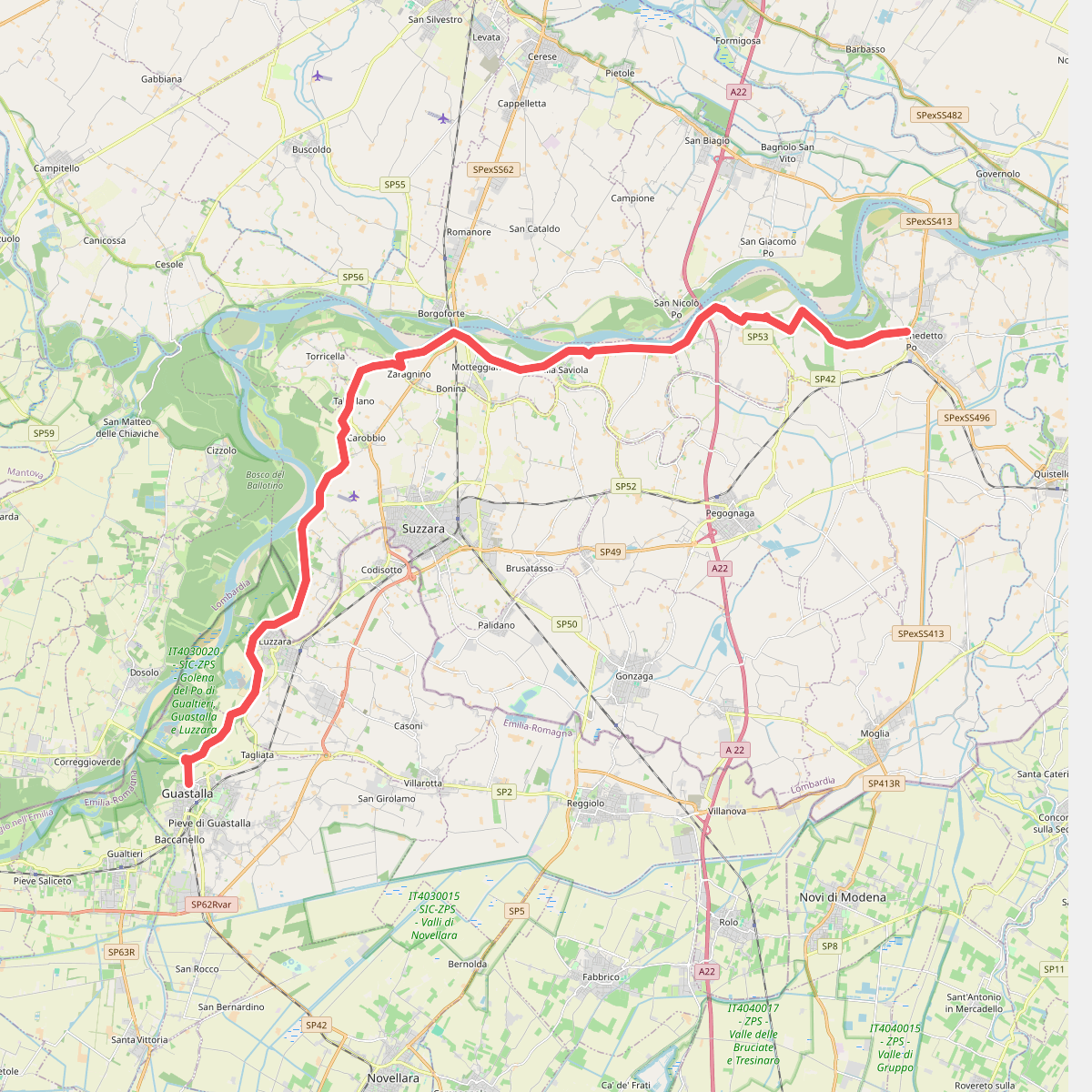
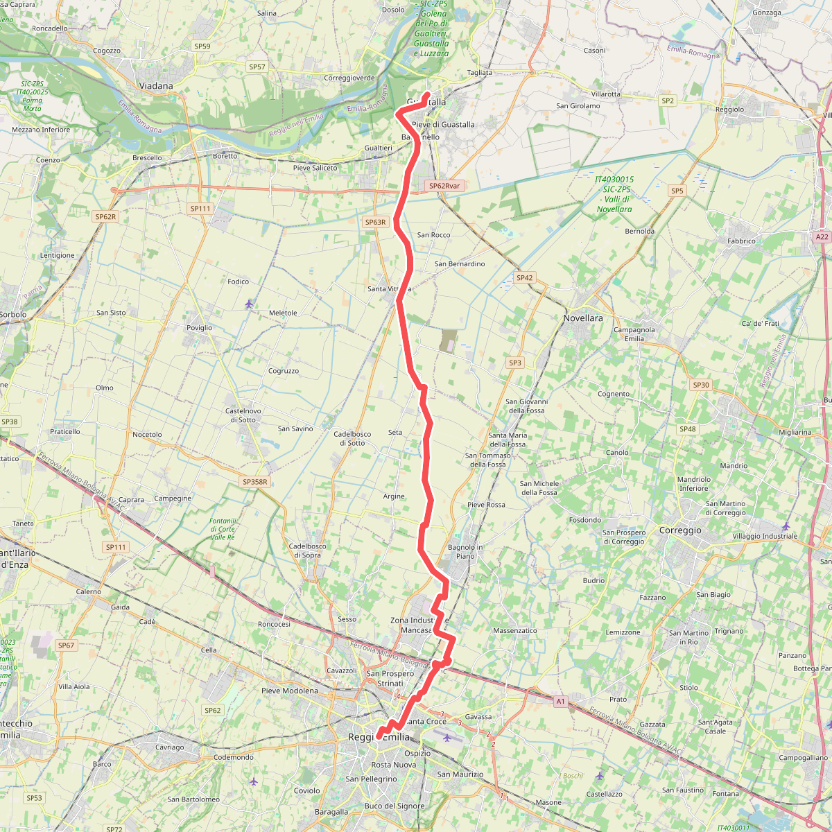
Discover the best walks in IT4030020 - SIC-ZPS - Golena del Po di Gualtieri, Guastalla e Luzzara. 2 routes on the map, with descriptions, photos and GPX.
Managed by Provincia di Reggio Emilia
About IT4030020 - SIC-ZPS - Golena del Po di Gualtieri, Guastalla e Luzzara
IT4030020 - SIC-ZPS - Golena del Po di Gualtieri, Guastalla e Luzzara is a flat floodplain reserve shaped entirely by the seasonal rise and fall of the Po River. Unlike upland forests, this landscape consists of a mosaic of active river channels, silty sandbars, and dense stands of willow and poplar trees. The terrain is defined by its low elevation, where old oxbow lakes, locally known as lanche, cut through the alluvial woodland and create a patchwork of damp depressions and dry alluvial ridges.
Read more
About IT4030020 - SIC-ZPS - Golena del Po di Gualtieri, Guastalla e Luzzara
IT4030020 - SIC-ZPS - Golena del Po di Gualtieri, Guastalla e Luzzara is a flat floodplain reserve shaped entirely by the seasonal rise and fall of the Po River. Unlike upland forests, this landscape consists of a mosaic of active river channels, silty sandbars, and dense stands of willow and poplar trees. The terrain is defined by its low elevation, where old oxbow lakes, locally known as lanche, cut through the alluvial woodland and create a patchwork of damp depressions and dry alluvial ridges.
Read moreIT4030020 - SIC-ZPS - Golena del Po di Gualtieri, Guastalla e Luzzara is a flat floodplain reserve shaped entirely by the seasonal rise and fall of the Po River. Unlike upland forests, this landscape consists of a mosaic of active river channels, silty sandbars, and dense stands of willow and poplar trees. The terrain is defined by its low elevation, where old oxbow lakes, locally known as lanche, cut through the alluvial woodland and create a patchwork of damp depressions and dry alluvial ridges.
Walking here means navigating a mix of packed dirt tracks, sandy riverbanks, and grassy flood dykes. Underfoot, the soil transitions quickly from fine river sand near the water to heavy, cracked clay in the dried-out drainage channels. The paths are level, offering no climbs or rocky scrambles, but the ground can be uneven where tractor tyres have rutted the agricultural access tracks that double as walking routes.
In late autumn, particularly around November, the dense river fogs settle over the poplar plantations and the exposed sandbanks, reducing visibility and highlighting the stark, linear structure of the managed woodlands. The area is generally quiet, though the sections closest to the river access points near Gualtieri and Guastalla see regular local use. It is a landscape of working riverbanks, where natural sedimentation and forestry co-exist.