The best hiking routes in Insel Usedom
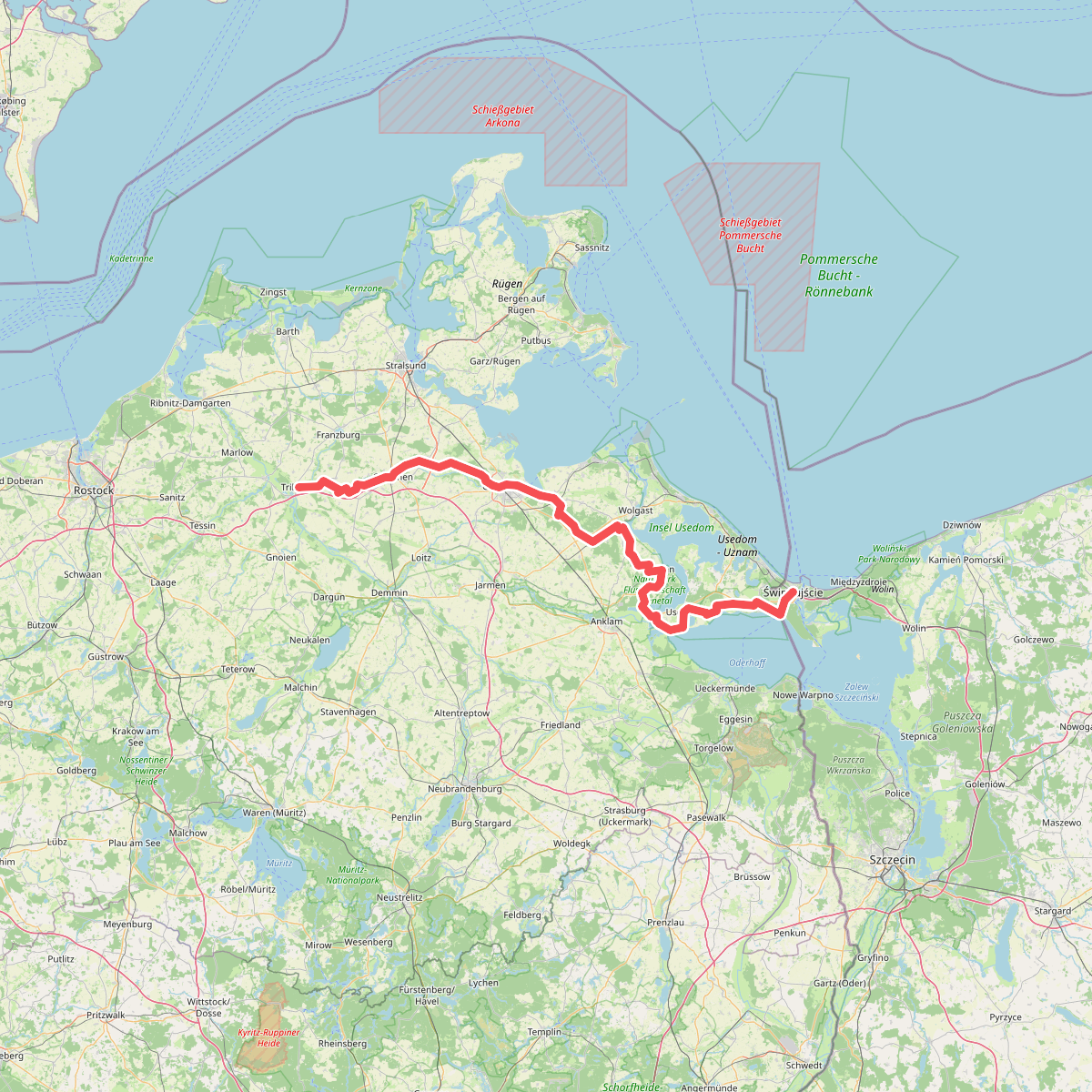
Discover the best walks in Insel Usedom. 1 routes on the map, with descriptions, photos and GPX.
About Insel Usedom
Insel Usedom is a Baltic island shaped by a mix of low-lying coastal wetlands, dense beech forests, and sandy shorelines. Walkers will find a landscape that transitions sharply from the exposed, sandy beaches of the northern coast to the quiet, reed-fringed shores of the Achterwasser lagoon in the south. The terrain is mostly flat or gently undulating, with the highest points being modest coastal cliffs and forested dunes rather than steep hills. Underfoot, the paths vary from soft, loose sand along the coastal dunes to firm dirt tracks through the interior woodlands and occasional wooden boardwalks over the marshier sections.
Read more
About Insel Usedom
Insel Usedom is a Baltic island shaped by a mix of low-lying coastal wetlands, dense beech forests, and sandy shorelines. Walkers will find a landscape that transitions sharply from the exposed, sandy beaches of the northern coast to the quiet, reed-fringed shores of the Achterwasser lagoon in the south. The terrain is mostly flat or gently undulating, with the highest points being modest coastal cliffs and forested dunes rather than steep hills. Underfoot, the paths vary from soft, loose sand along the coastal dunes to firm dirt tracks through the interior woodlands and occasional wooden boardwalks over the marshier sections.
Read moreInsel Usedom is a Baltic island shaped by a mix of low-lying coastal wetlands, dense beech forests, and sandy shorelines. Walkers will find a landscape that transitions sharply from the exposed, sandy beaches of the northern coast to the quiet, reed-fringed shores of the Achterwasser lagoon in the south. The terrain is mostly flat or gently undulating, with the highest points being modest coastal cliffs and forested dunes rather than steep hills. Underfoot, the paths vary from soft, loose sand along the coastal dunes to firm dirt tracks through the interior woodlands and occasional wooden boardwalks over the marshier sections.
In the forested areas, such as the beech woods near Heringsdorf, the canopy creates a shaded environment where the ground is covered in leaf litter and exposed tree roots. This contrasts with the open, peat-rich meadows and salt marshes further inland, where the vegetation is dominated by tall reeds and grasses. The landscape reflects its glacial origins, with spit formations and shallow lagoons creating a complex shoreline where land and water constantly interlock. Walkers will notice how the vegetation changes from salt-tolerant beach grass on the outer coast to freshwater marsh plants along the inner bays.
The outer coast, known for its wide sandy beaches and seaside resorts, is where the majority of visitors gather, making the coastal promenades and adjacent dune paths busier. In contrast, the southern and western parts of the island, facing the Peenestrom and Achterwasser, offer much quieter walking routes through small farming villages and quiet pine forests. May brings the bright green of fresh beech leaves in the hilly areas of the island's east, while the inland reed beds turn a deep golden brown by October, providing a very different walking experience depending on which side of the island you choose to explore.