The best hiking routes in Holubyho kopanice
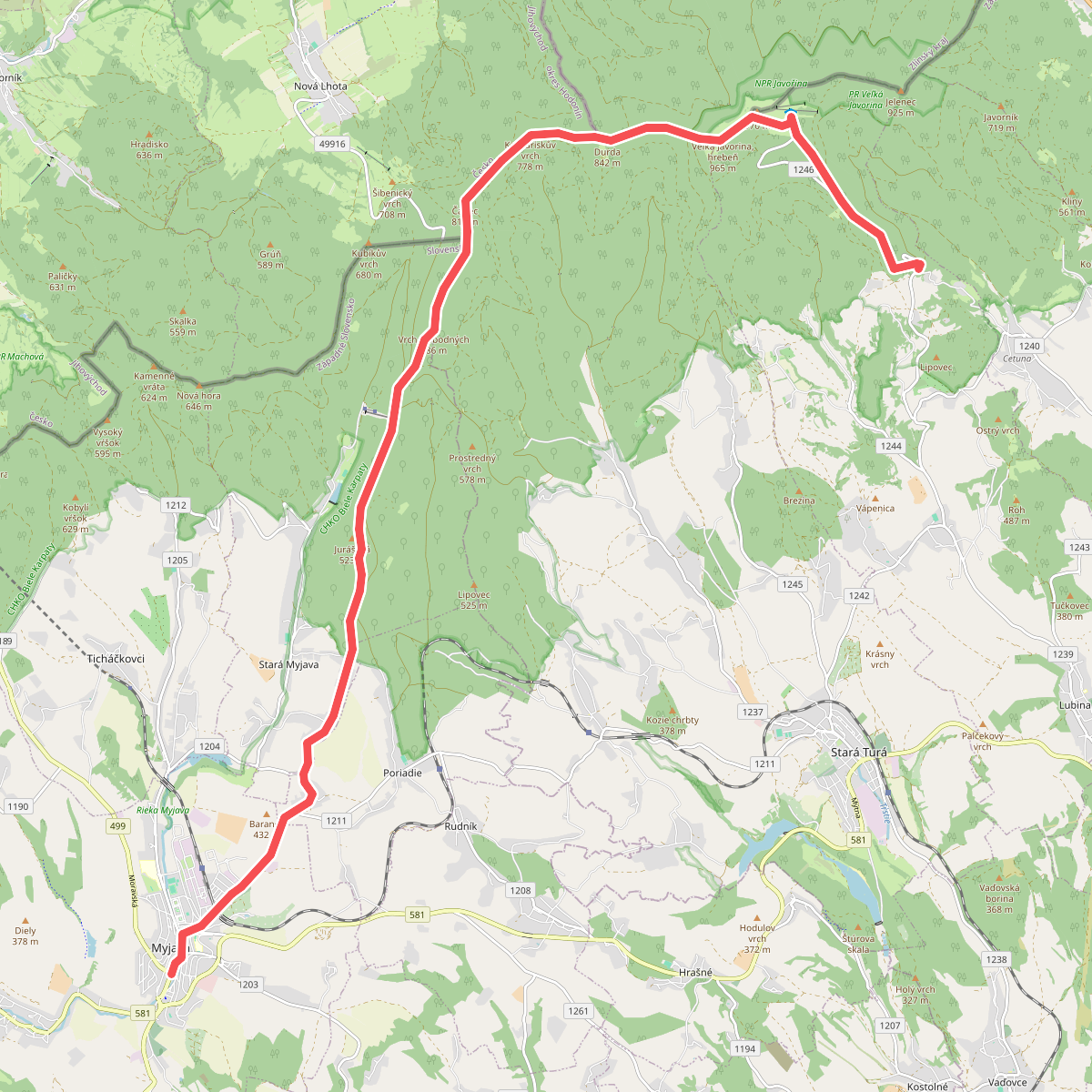
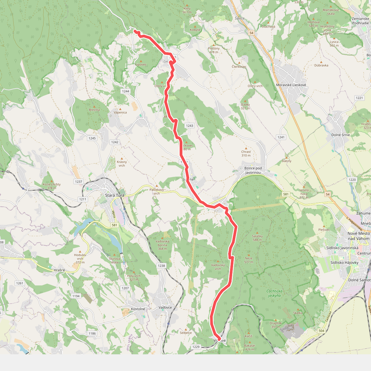
Discover the best walks in Holubyho kopanice. 2 routes on the map, with descriptions, photos and GPX.
About Holubyho kopanice
Holubyho kopanice offers a distinct landscape of scattered homesteads, small-scale orchards, and terraced meadows set in the White Carpathians. Unlike the dense, continuous forests found in other parts of the border range, this area is defined by a mosaic of traditional agricultural plots, hedgerows, and species-rich grasslands. The terrain is gently rolling rather than rugged, with no high peaks or deep gorges, making it suitable for those who prefer steady, moderate climbs through a working rural countryside.
Read more
About Holubyho kopanice
Holubyho kopanice offers a distinct landscape of scattered homesteads, small-scale orchards, and terraced meadows set in the White Carpathians. Unlike the dense, continuous forests found in other parts of the border range, this area is defined by a mosaic of traditional agricultural plots, hedgerows, and species-rich grasslands. The terrain is gently rolling rather than rugged, with no high peaks or deep gorges, making it suitable for those who prefer steady, moderate climbs through a working rural countryside.
Read moreHolubyho kopanice offers a distinct landscape of scattered homesteads, small-scale orchards, and terraced meadows set in the White Carpathians. Unlike the dense, continuous forests found in other parts of the border range, this area is defined by a mosaic of traditional agricultural plots, hedgerows, and species-rich grasslands. The terrain is gently rolling rather than rugged, with no high peaks or deep gorges, making it suitable for those who prefer steady, moderate climbs through a working rural countryside.
Walking here means navigating a network of grassy cart tracks, dirt paths, and narrow asphalt lanes that connect the isolated settlements. Underfoot, the clay-heavy soil can become sticky after wet weather, while the open meadows offer little shade during the midsummer months of July and August. The landscape is shaped by centuries of low-intensity farming, visible in the old fruit trees and the stone walls built from cleared field debris that line the path edges.
This area is best suited for walkers interested in traditional land use and botany rather than wilderness. While the central ridges can attract local visitors during the spring orchid season in May, the quieter side valleys remain largely undisturbed. It is a place to observe how human habitation and nature have adapted to one another, rather than a destination for dramatic mountain vistas.