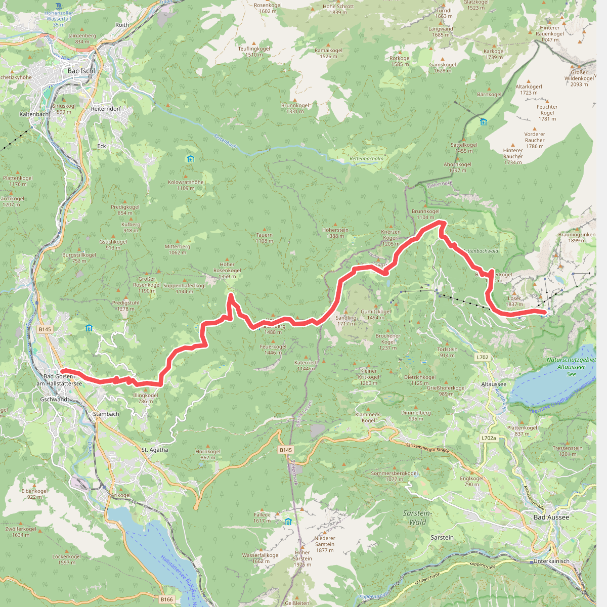
The best hiking routes in Hochlagen des westlichen Ausseerlandes mit Dachsteinplateau
Discover the best walks in Hochlagen des westlichen Ausseerlandes mit Dachsteinplateau. 7 routes on the map, with descriptions, photos and GPX.
About Hochlagen des westlichen Ausseerlandes mit Dachsteinplateau
The Hochlagen des westlichen Ausseerlandes mit Dachsteinplateau offers a stark contrast between two distinct high-altitude landscapes. On one side, you will encounter the vast, barren limestone karst of the Dachstein plateau, where the ground is a labyrinth of deeply fissured rock, sinkholes, and sparse alpine scrub. On the other side, the western Ausseerland high elevations transition into softer, greener ridges where mountain pine, alpine meadows, and small peat bogs soften the terrain. Walking here means choosing between these two geological characters, which dictate the underfoot conditions and the visual environment.
Read more
About Hochlagen des westlichen Ausseerlandes mit Dachsteinplateau
The Hochlagen des westlichen Ausseerlandes mit Dachsteinplateau offers a stark contrast between two distinct high-altitude landscapes. On one side, you will encounter the vast, barren limestone karst of the Dachstein plateau, where the ground is a labyrinth of deeply fissured rock, sinkholes, and sparse alpine scrub. On the other side, the western Ausseerland high elevations transition into softer, greener ridges where mountain pine, alpine meadows, and small peat bogs soften the terrain. Walking here means choosing between these two geological characters, which dictate the underfoot conditions and the visual environment.
Read moreThe Hochlagen des westlichen Ausseerlandes mit Dachsteinplateau offers a stark contrast between two distinct high-altitude landscapes. On one side, you will encounter the vast, barren limestone karst of the Dachstein plateau, where the ground is a labyrinth of deeply fissured rock, sinkholes, and sparse alpine scrub. On the other side, the western Ausseerland high elevations transition into softer, greener ridges where mountain pine, alpine meadows, and small peat bogs soften the terrain. Walking here means choosing between these two geological characters, which dictate the underfoot conditions and the visual environment.
Underfoot, the paths vary significantly depending on which section you choose. The karst plateau demands careful footwork over sharp, uneven limestone pavements, loose scree, and rocky steps where waymarks are painted directly onto the stone. In contrast, the paths through the western pastures and pine-covered ridges feature more soil, tree roots, and occasional boggy patches, though exposed limestone bedrock remains a constant feature. The transition from grey, waterless stone to green, water-retaining depressions is sudden and defines the ecological boundary of the area.
This high-altitude zone is not a place for gentle valley strolls or dense woodland shelter. The vegetation is shaped by the harsh alpine climate, with stunted mountain pines clinging to the rock and specialized alpine flowers blooming in the crevices during July and August. While the classic karst sections feel arid and silent, the lower depressions and meadows support active alpine pastures. The area is best suited for walkers who prefer rugged, open limestone terrain and are prepared for the demanding footing of a high-altitude karst landscape.
Hiking routes in Hochlagen des westlichen Ausseerlandes mit Dachsteinplateau (7)
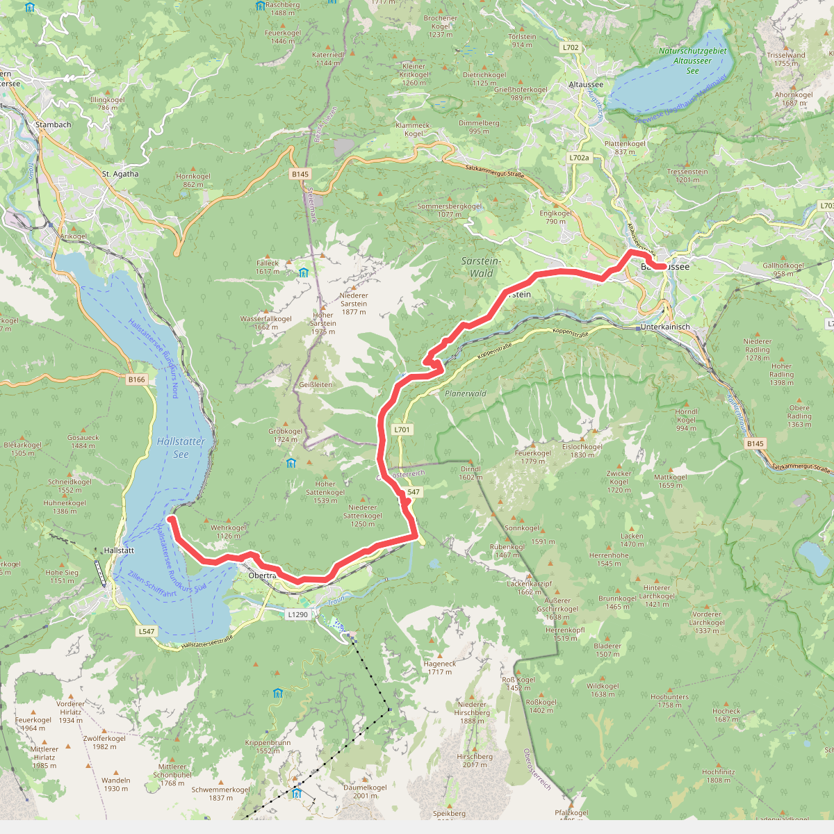
#1. Hallstatt - Bad Aussee · BergeSeen Trail etappe 13
Obertraun,Bad Aussee
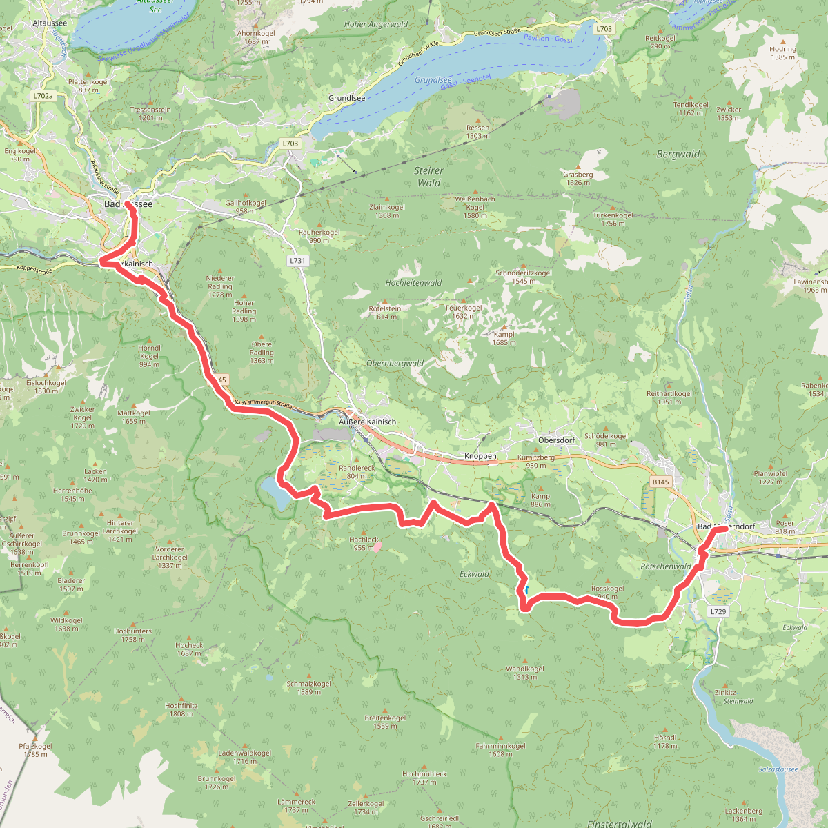
#2. Bad Aussee - Bad Mitterndorf · BergeSeen Trail etappe 14
Bad Aussee,Bad Mitterndorf
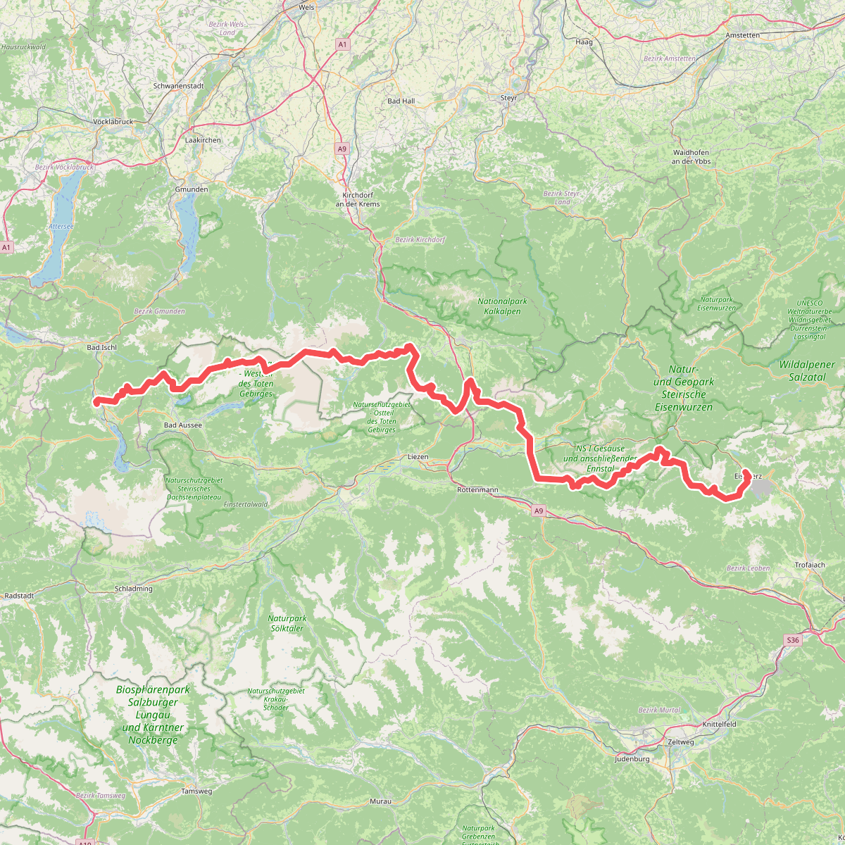
#3. Europäischer Fernwanderweg E4 alpin (Bad Goisern/Eisenerz)
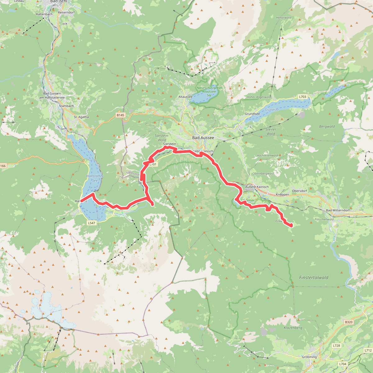
#4. Steinitzenalm - Hallstatt · Dachstein etappe 6
Bad Mitterndorf,Bad Aussee,Obertraun,Hallstatt
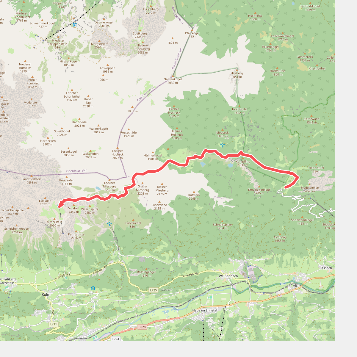
#5. Guttenberghaus - Steinerhaus · Dachstein etappe 4
Ramsau am Dachstein,Haus im Ennstal,Gröbming,Aich
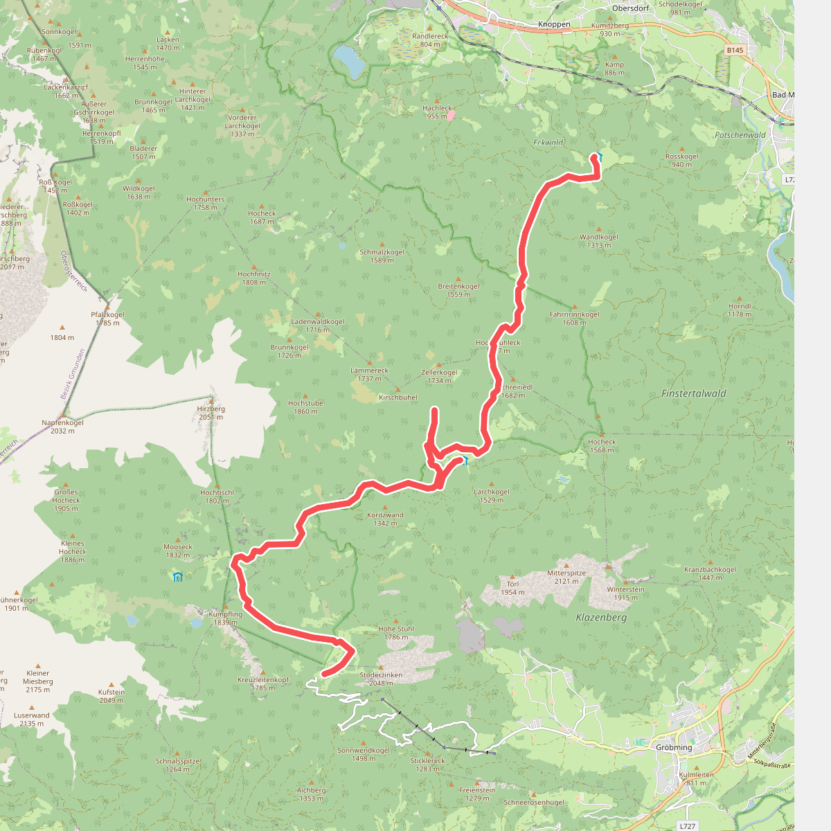
#6. Steinerhaus - Steinitzenalm · Dachstein etappe 5
Aich,Gröbming,Bad Mitterndorf