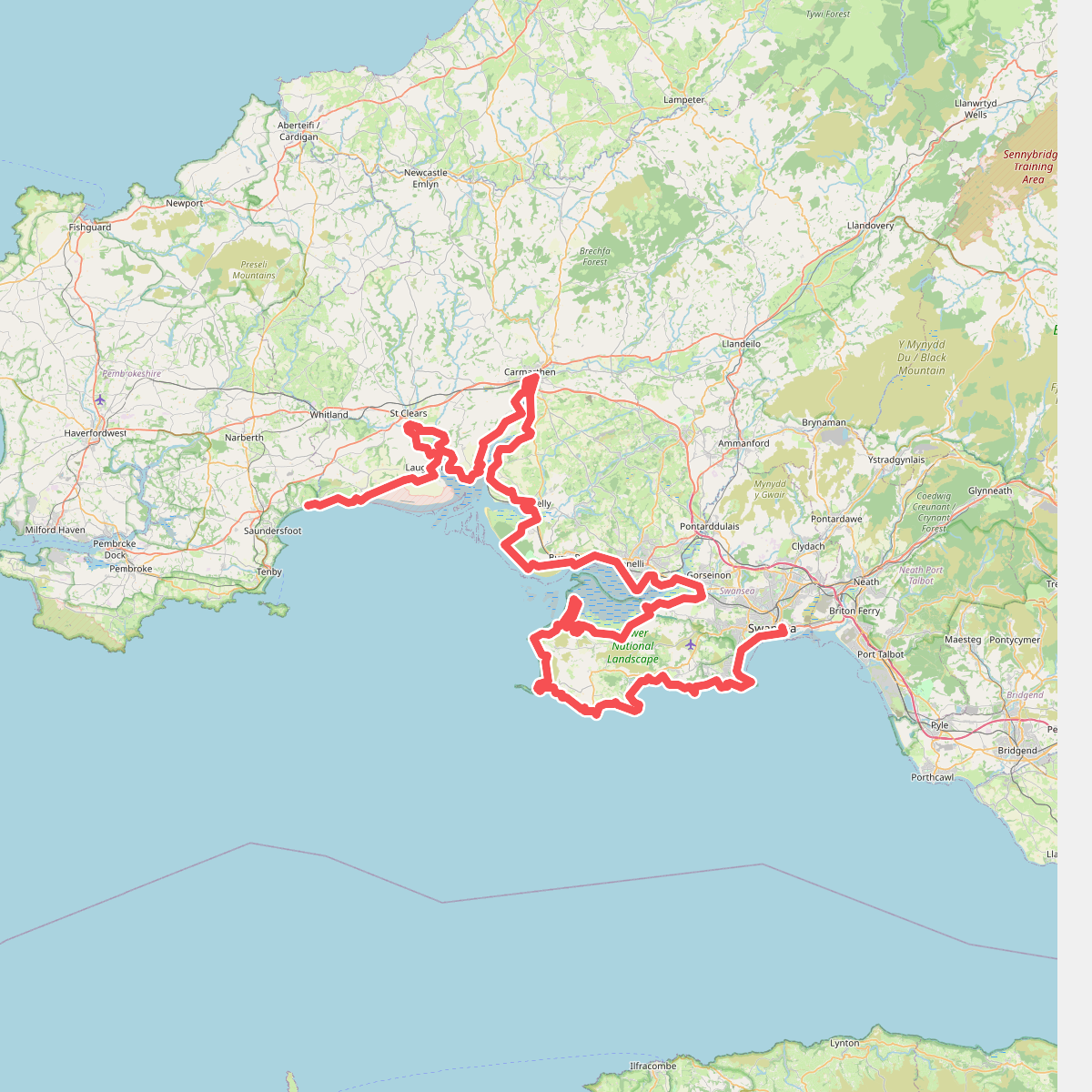
The best hiking routes in Gower National Landscape
Discover the best walks in Gower National Landscape. 7 routes on the map, with descriptions, photos and GPX.
About Gower National Landscape
The Gower National Landscape is defined by its sharp division between the northern salt marshes and the southern limestone cliffs. If you choose the northern coast along the Loughor Estuary, you will walk on flat, grassy salt marshes and tidal mudflats where sheep graze. Underfoot, the ground is soft, often requiring detours around tidal pills and drainage channels. In contrast, the southern coastline offers high cliff-top paths over carboniferous limestone, where the walking surface is a mix of packed dirt, exposed rock, and short turf.
Read more
About Gower National Landscape
The Gower National Landscape is defined by its sharp division between the northern salt marshes and the southern limestone cliffs. If you choose the northern coast along the Loughor Estuary, you will walk on flat, grassy salt marshes and tidal mudflats where sheep graze. Underfoot, the ground is soft, often requiring detours around tidal pills and drainage channels. In contrast, the southern coastline offers high cliff-top paths over carboniferous limestone, where the walking surface is a mix of packed dirt, exposed rock, and short turf.
Read moreThe Gower National Landscape is defined by its sharp division between the northern salt marshes and the southern limestone cliffs. If you choose the northern coast along the Loughor Estuary, you will walk on flat, grassy salt marshes and tidal mudflats where sheep graze. Underfoot, the ground is soft, often requiring detours around tidal pills and drainage channels. In contrast, the southern coastline offers high cliff-top paths over carboniferous limestone, where the walking surface is a mix of packed dirt, exposed rock, and short turf.
Inland, the landscape rises into sandstone ridges like Cefn Bryn. Here, the terrain changes to open, wet heathland and dry gorse commonage. Instead of coastal cliffs, you will find wide, undulating commons where the paths are mostly stony sheep tracks and sandy bridleways. These inland ridges are often quieter than the popular southern beaches, showing a working landscape of common grazing land rather than dramatic coastal geology.
Walking here requires choosing between these distinct zones. The limestone cliffs in the south feature steep descents into sandy bays, with steps cut into the rock, while the northern marshes offer level but wet walking where the tide dictates your route. In autumn, particularly around October, the inland commons turn deep shades of brown and purple as the bracken and heather die back, contrasting with the grey limestone of the coast.
Hiking routes in Gower National Landscape (7)
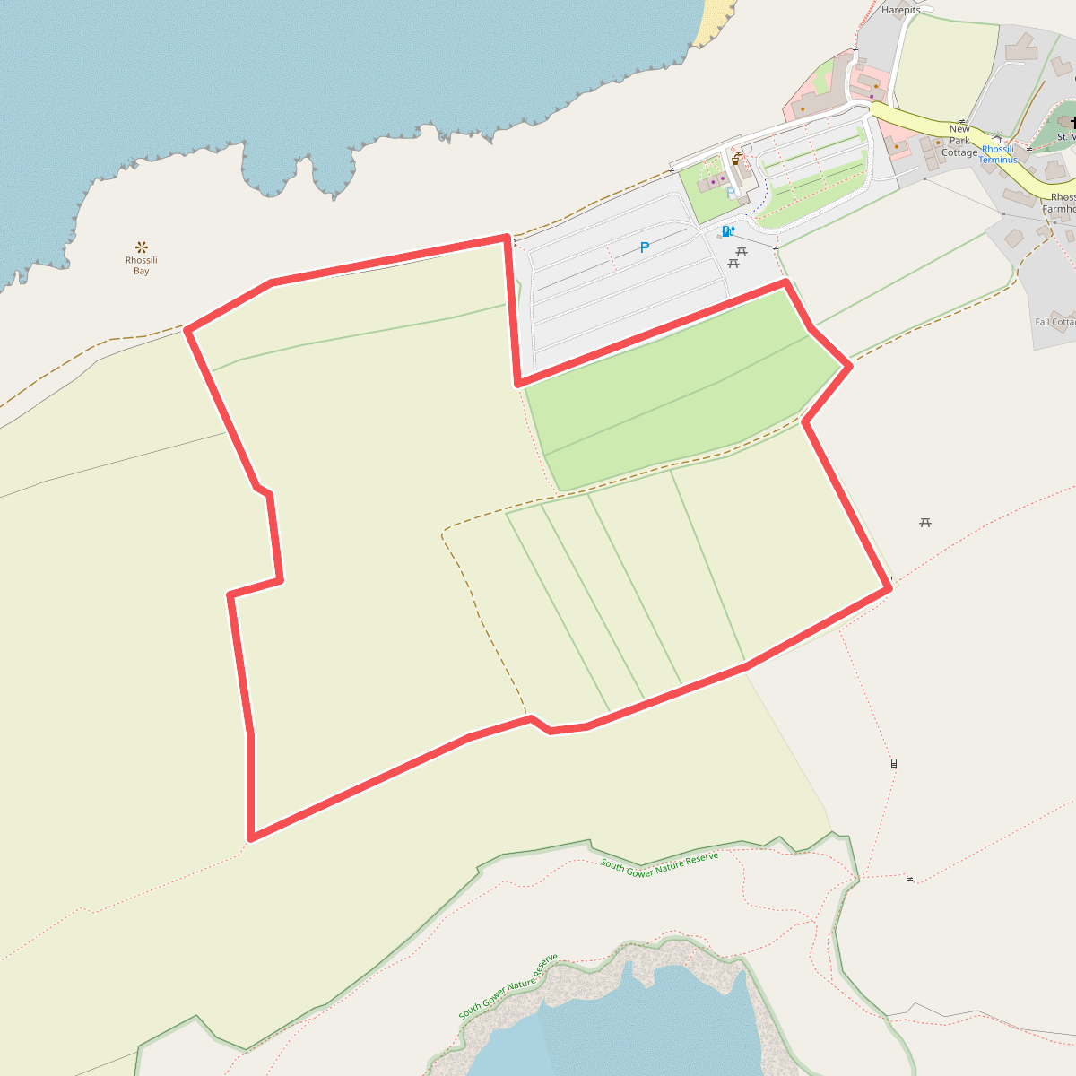
#1. Circular Walk around the Vile, Rhosili, Gower
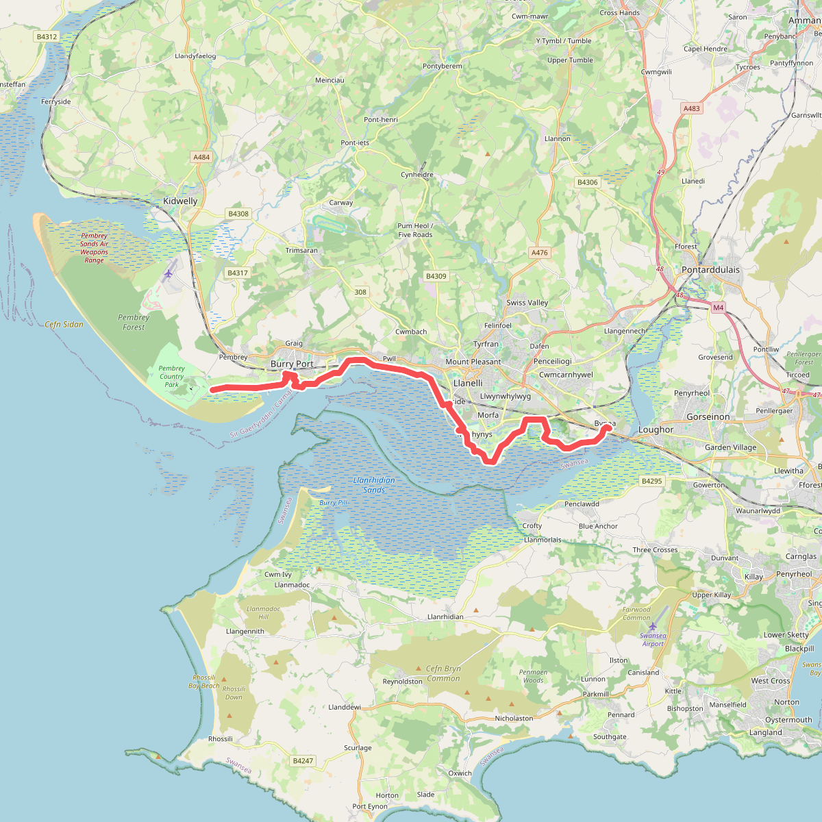
#2. Millennium Coastal Path
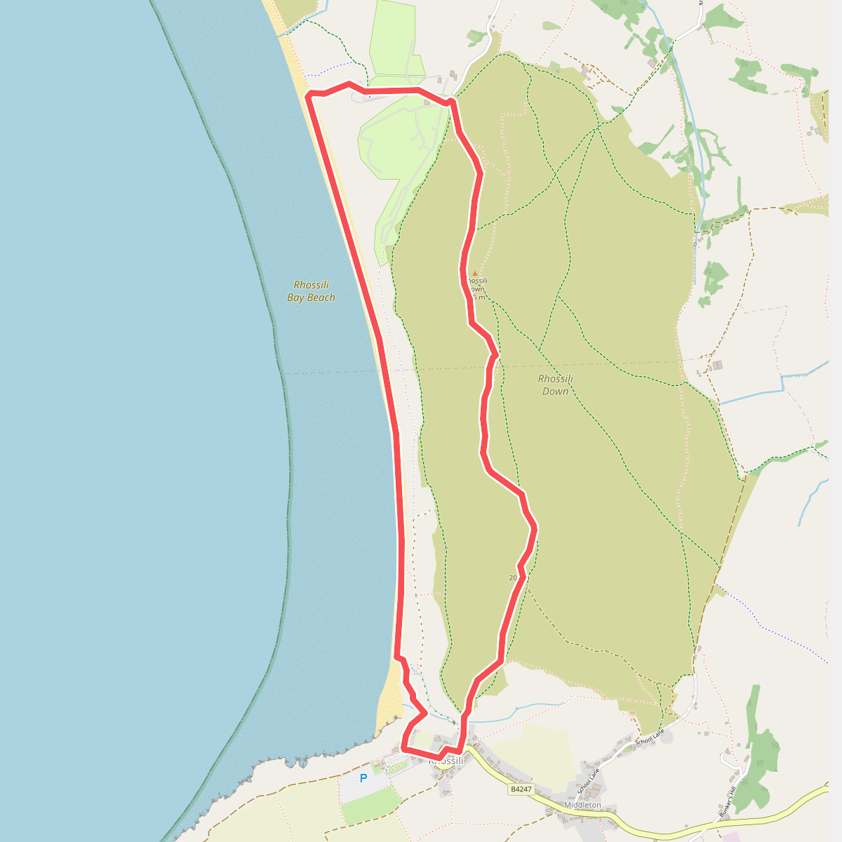
#3. Rhosili Down, Hillend and beach walk, Gower
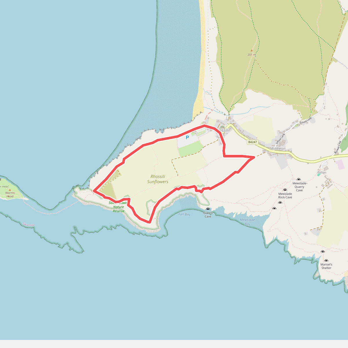
#4. Rhosili Headland Walk, Gower
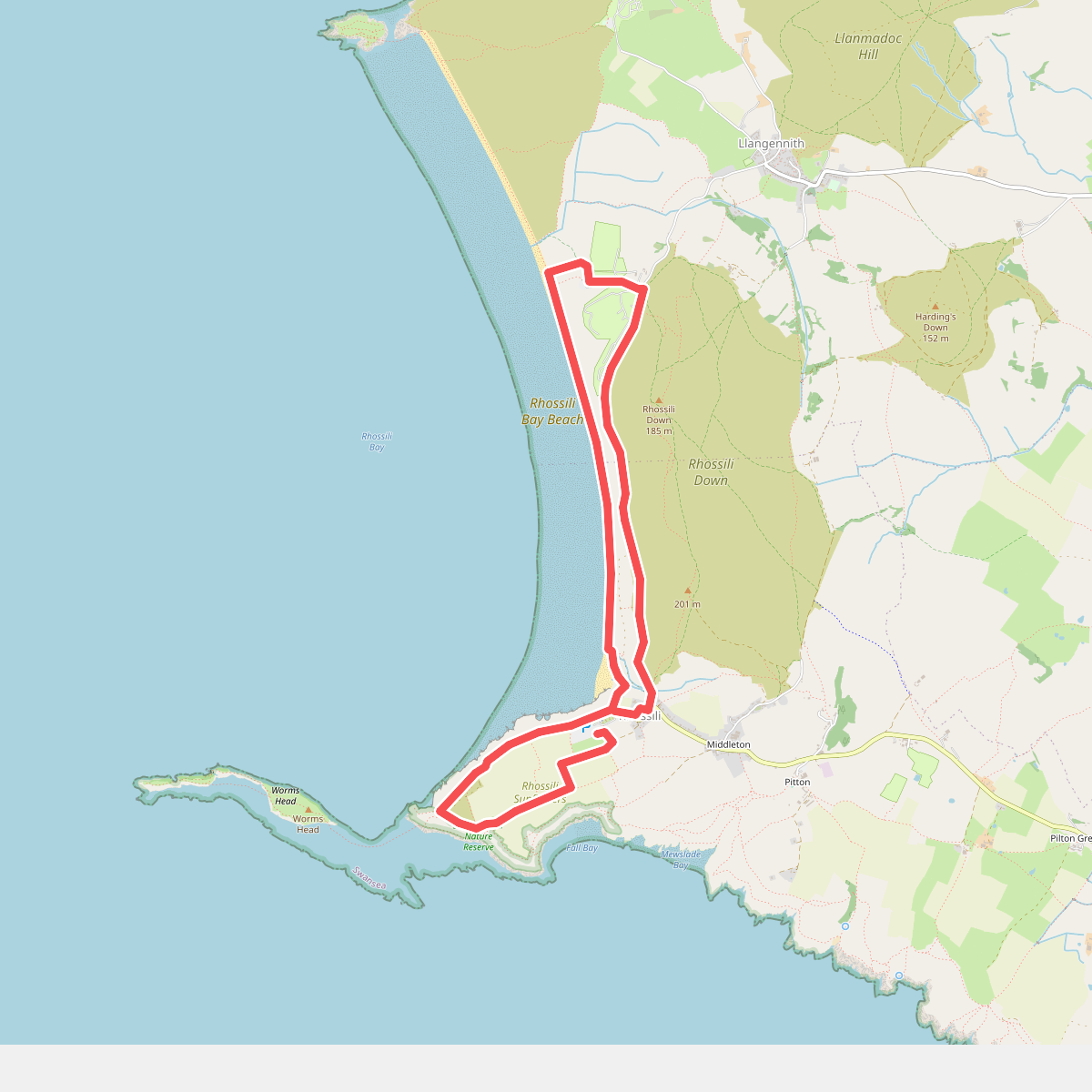
#5. Rhossili Ranger Run, Gower
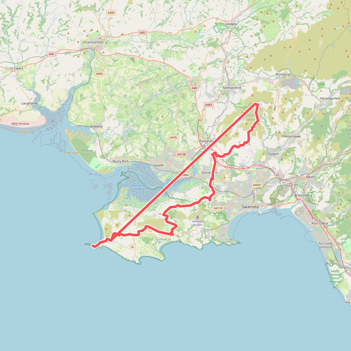
#6. The Gower Way