The best hiking routes in Geo-Naturpark Frau-Holle-Land
Discover the best walks in Geo-Naturpark Frau-Holle-Land. 215 routes on the map, with descriptions, photos and GPX.
About Geo-Naturpark Frau-Holle-Land
Geo-Naturpark Frau-Holle-Land, located in the Werra-Meissner region, is characterized by a landscape of basalt massifs, limestone plateaus, and forested valleys. Unlike flatter heathlands, this area requires navigating significant elevation changes. Walkers will find a distinct contrast between the high, moist beech forests of the Hoher Meissner and the dry, open limestone slopes of the Werra Valley. The terrain is not a high-alpine environment, but rather a series of steep, wooded hills separated by agricultural valleys.
Read more
About Geo-Naturpark Frau-Holle-Land
Geo-Naturpark Frau-Holle-Land, located in the Werra-Meissner region, is characterized by a landscape of basalt massifs, limestone plateaus, and forested valleys. Unlike flatter heathlands, this area requires navigating significant elevation changes. Walkers will find a distinct contrast between the high, moist beech forests of the Hoher Meissner and the dry, open limestone slopes of the Werra Valley. The terrain is not a high-alpine environment, but rather a series of steep, wooded hills separated by agricultural valleys.
Read moreGeo-Naturpark Frau-Holle-Land, located in the Werra-Meissner region, is characterized by a landscape of basalt massifs, limestone plateaus, and forested valleys. Unlike flatter heathlands, this area requires navigating significant elevation changes. Walkers will find a distinct contrast between the high, moist beech forests of the Hoher Meissner and the dry, open limestone slopes of the Werra Valley. The terrain is not a high-alpine environment, but rather a series of steep, wooded hills separated by agricultural valleys.
Underfoot, the paths vary from soft forest soil and stony basalt tracks on the heights to firmer clay and gravel paths in the valleys. You will notice dark, volcanic basalt blocks scattered through the woods on the higher plateaus, a direct result of ancient volcanic activity that shaped these uplands. In the lower limestone areas, the soil becomes lighter and supports different flora, including wild orchids that bloom in May and June on the dry grasslands.
This park is well-suited for those who prefer shaded woodland walking and steady climbs over open, flat terrain. While the main summits and designated viewing points near the former inner-German border can attract more visitors on weekends, the deeper forest tracks remain quiet. There are no dramatic rocky peaks here, but the constant transition between dense beech canopy and open valley meadows defines the walking experience.
Hiking routes in Geo-Naturpark Frau-Holle-Land (215)
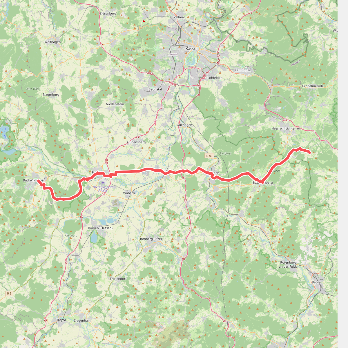
#1. Barbarossaweg (Teilstück Bad Wildungen - Reichenbach)
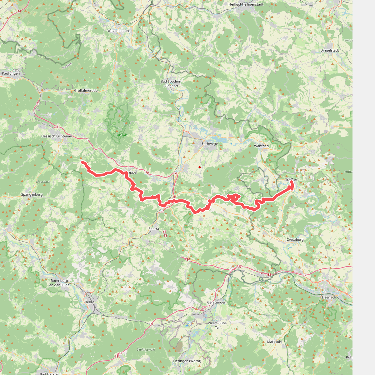
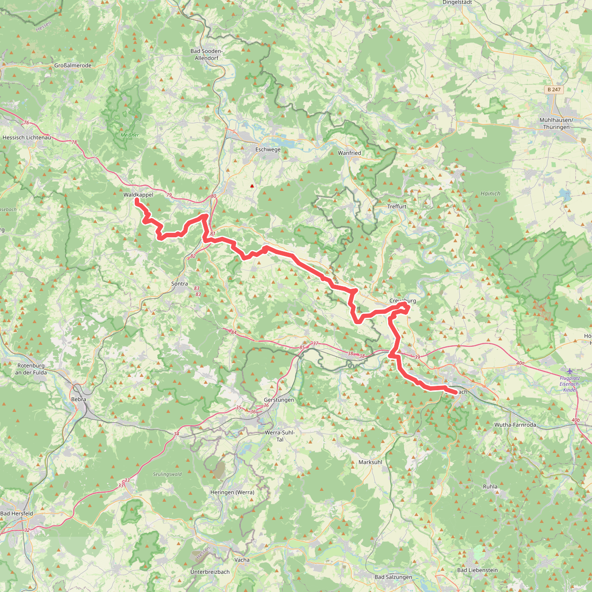
#2. Barbarossaweg (Teilstück Reichenbach - Treffurt)
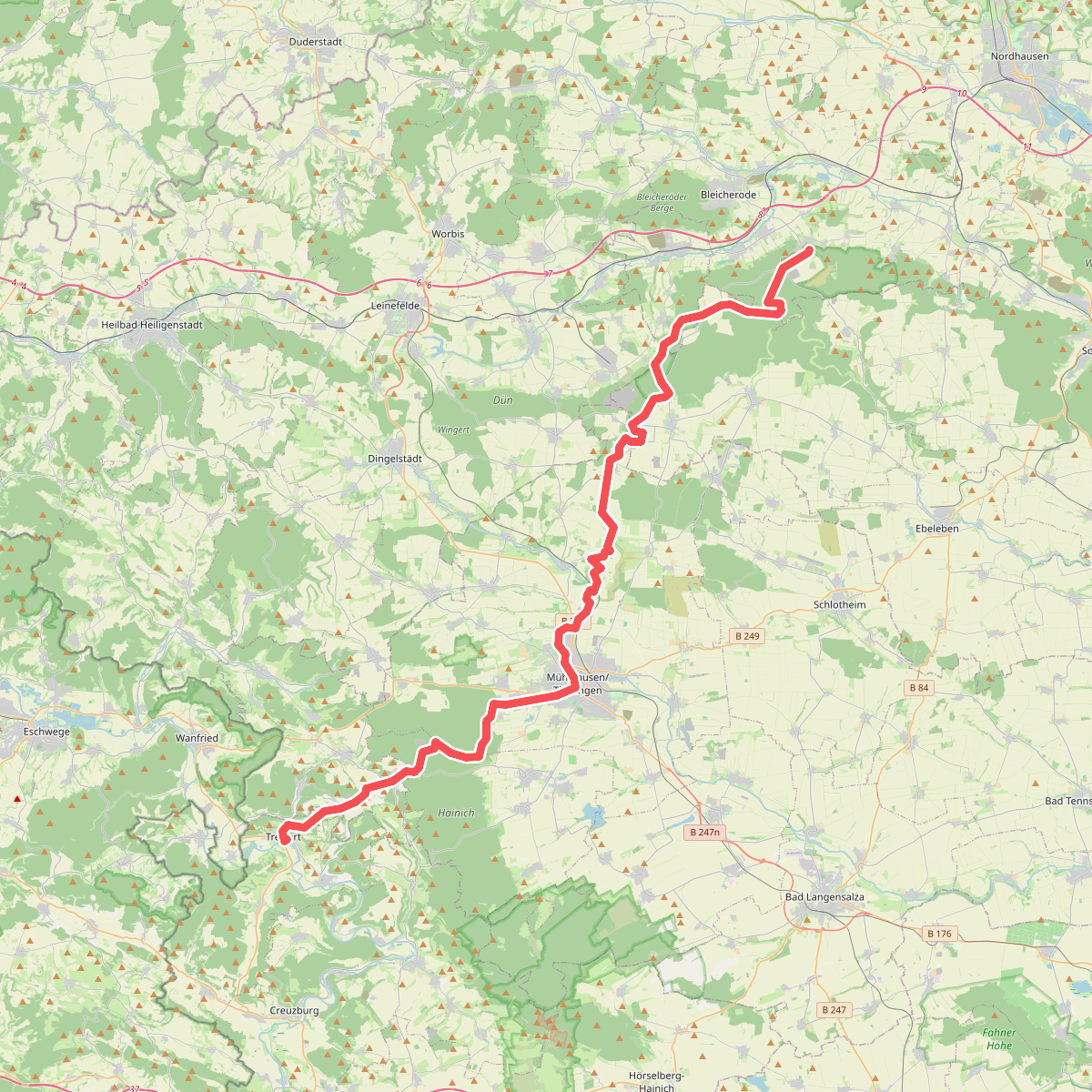
#3. Barbarossaweg (Teilstück Treffurt - Friedrichslohra)
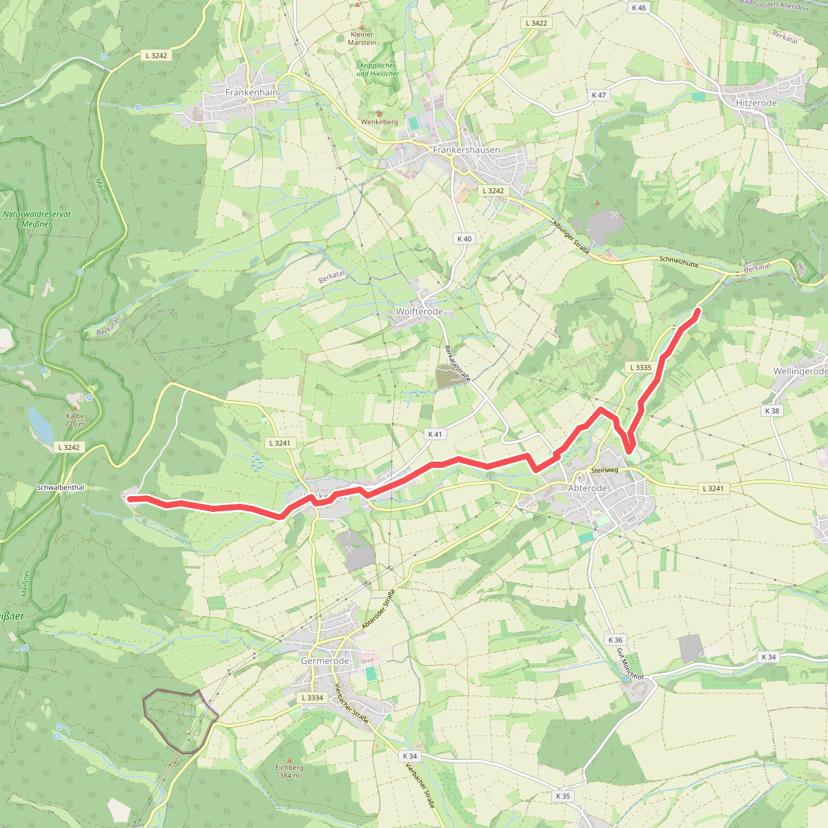
#4. Bergmannspfad
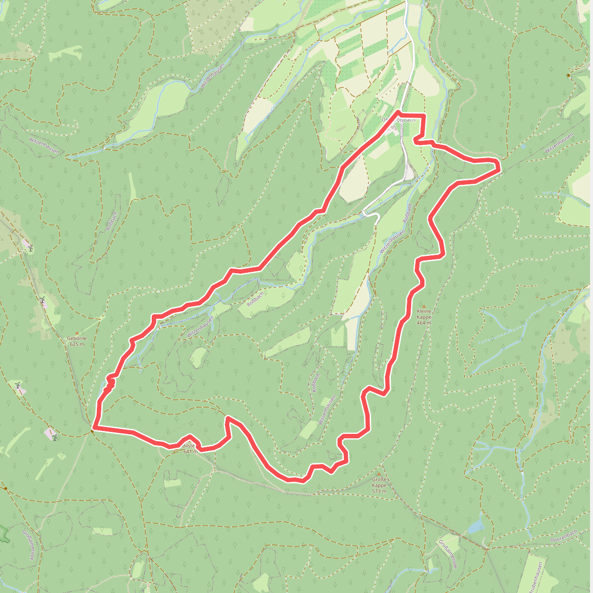
#5. Bilsteinrundweg
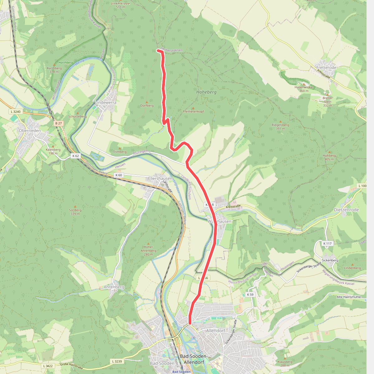
#6. BSA-Teufelskanzel
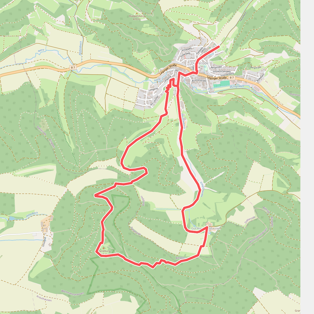
#7. Datteröder Burgweg
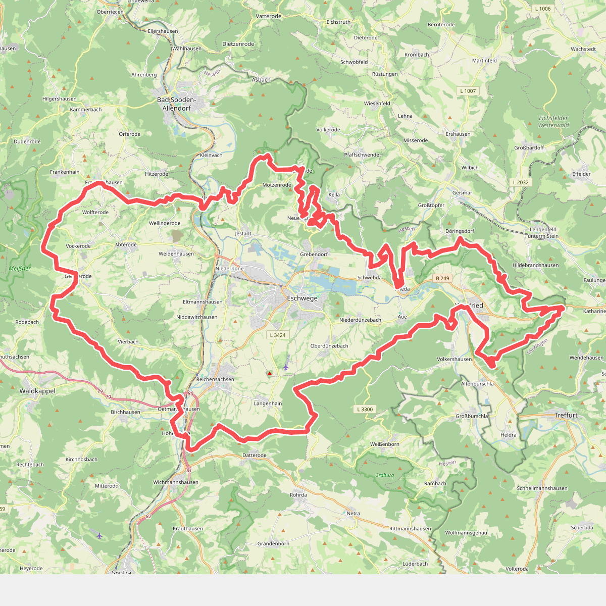
#8. Dietemannpfad
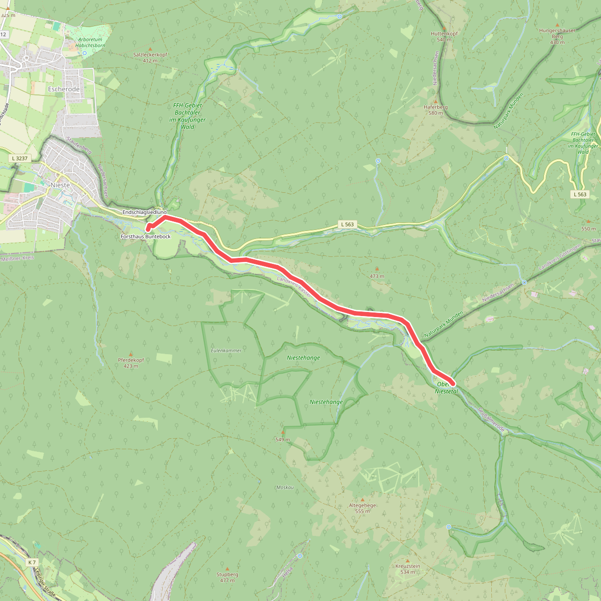
#9. Eco Pfad Gläsnertal
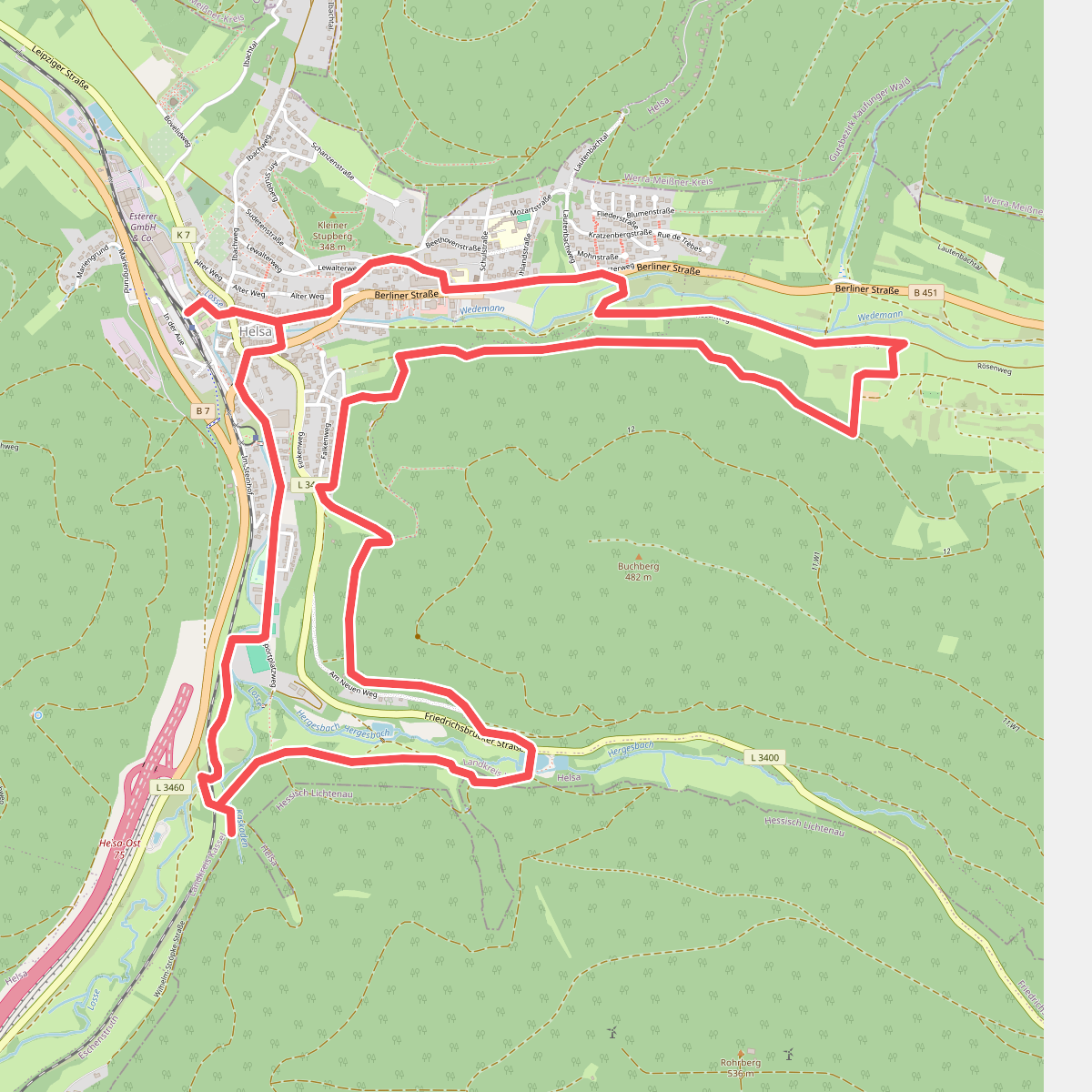
#10. Eco-Pfad Helsa
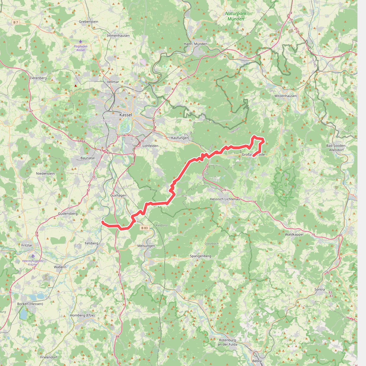
#11. Eder-Gelster-Weg