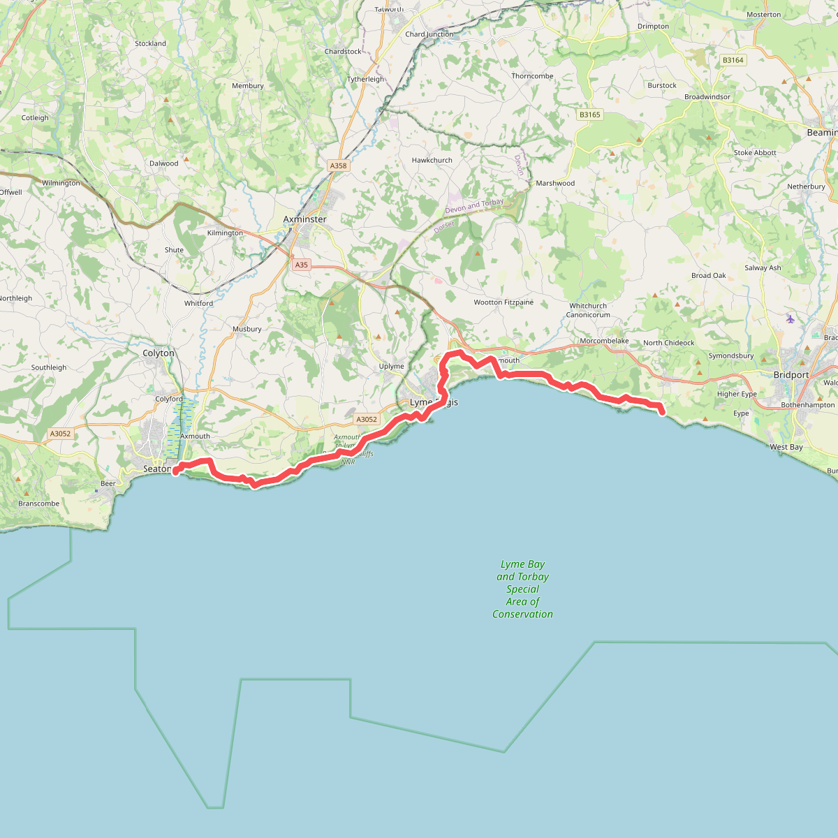
The best hiking routes in East Devon National Landscape
Discover the best walks in East Devon National Landscape. 4 routes on the map, with descriptions, photos and GPX.
About East Devon National Landscape
The East Devon National Landscape is characterized by its flat-topped greensand ridges cut by steep, parallel river valleys that drain south into the English Channel. Walking here means transitioning quickly between two distinct environments. On the high plateau tops, such as East Budleigh Common, the soil is acidic and gravelly, supporting open heathland of gorse and heather where the paths are wide, sandy, and stony. In contrast, descending into the valleys of the Axe, Otter, or Sid reveals a landscape of damp clay pastures, thick hedgerows, and deciduous woodland where the underfoot conditions turn to heavy loam and river silt.
Read more
About East Devon National Landscape
The East Devon National Landscape is characterized by its flat-topped greensand ridges cut by steep, parallel river valleys that drain south into the English Channel. Walking here means transitioning quickly between two distinct environments. On the high plateau tops, such as East Budleigh Common, the soil is acidic and gravelly, supporting open heathland of gorse and heather where the paths are wide, sandy, and stony. In contrast, descending into the valleys of the Axe, Otter, or Sid reveals a landscape of damp clay pastures, thick hedgerows, and deciduous woodland where the underfoot conditions turn to heavy loam and river silt.
Read moreThe East Devon National Landscape is characterized by its flat-topped greensand ridges cut by steep, parallel river valleys that drain south into the English Channel. Walking here means transitioning quickly between two distinct environments. On the high plateau tops, such as East Budleigh Common, the soil is acidic and gravelly, supporting open heathland of gorse and heather where the paths are wide, sandy, and stony. In contrast, descending into the valleys of the Axe, Otter, or Sid reveals a landscape of damp clay pastures, thick hedgerows, and deciduous woodland where the underfoot conditions turn to heavy loam and river silt.
This topography dictates the walking experience. The ridges offer long, horizontal views across the farmland below, but there are no rugged peaks or deep gorges. Instead, the terrain is a series of gentle climbs and descents on clay tracks and sunken lanes that have been worn down by centuries of use. Because of the underlying geology, water drains rapidly from the sandy heathland heights but pools in the valley bottoms, where wooden footbridges and muddy field gates are common features of the trail.
In late August, the heathlands turn purple with flowering heather, making the high commons the most distinctive part of the landscape to explore. While the coastal edge of this area merges with the busier pebble beaches and red cliffs of the Jurassic Coast, the inland valleys and wooded combes remain agrarian and quiet, offering a network of public footpaths through working dairy farms and small copses.
Hiking routes in East Devon National Landscape (4)
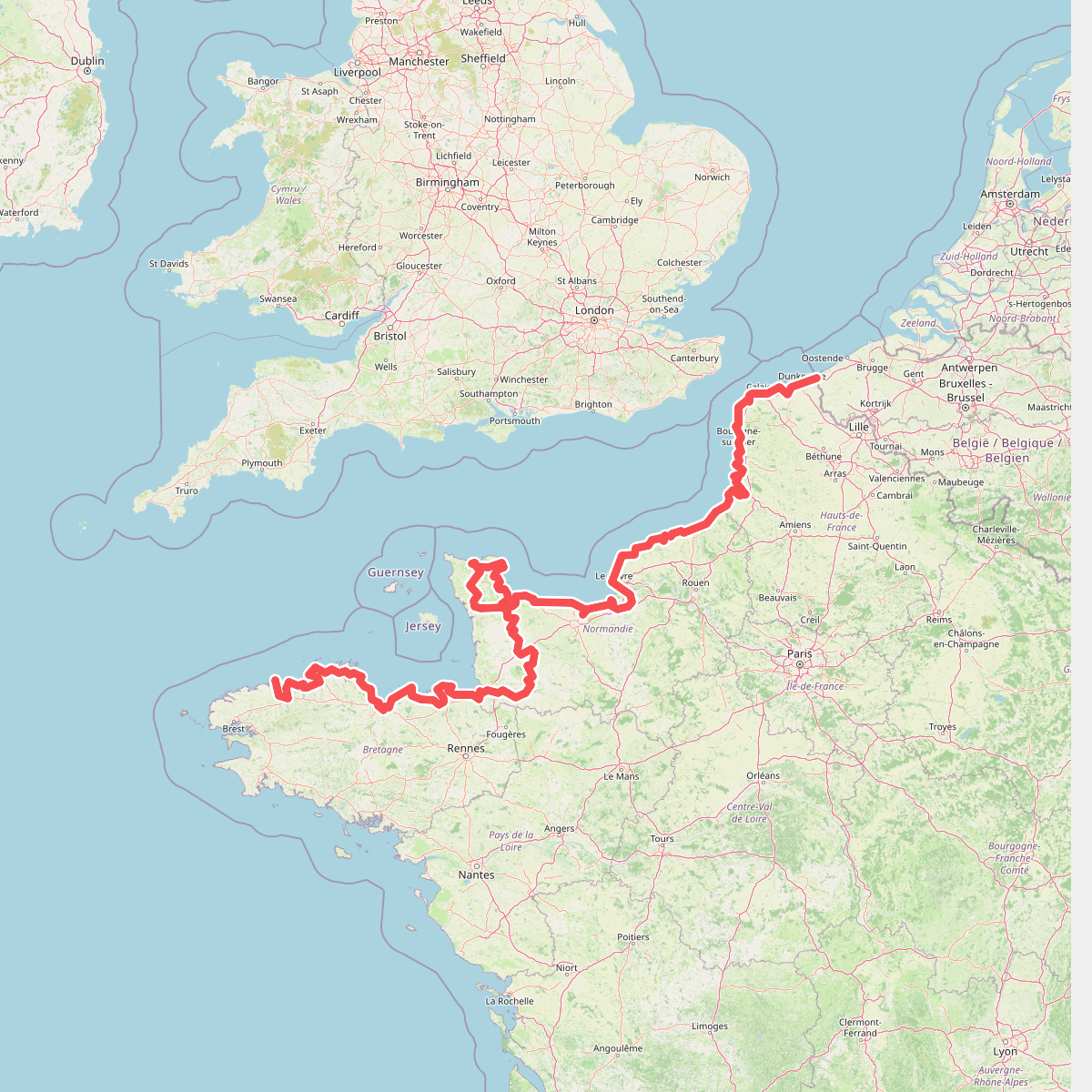
#1. Eurovelo 4
Roscoff,Saint-Pol-de-Léon,Plouénan,Taulé,Saint-Martin-des-Champs,Morlaix,Plouezoc'h,Plougasnou,Saint-Jean-du-Doigt,Guimaëc,Locquirec,Plestin-les-Grèves,Saint-Michel-en-Grève,Ploumilliau,Ploubezre,Lannion,Trébeurden,Pleumeur-Bodou,Trégastel,Perros-Guirec,Louannec,Camlez,Penvénan,Plouguiel,Trédarzec,Pleumeur-Gautier,Lézardrieux,Paimpol,Plouézec,Plouha,Tréveneuc,Binic-Étables-sur-Mer,Pordic,Plérin,Saint-Brieuc,Langueux,Hillion,Lamballe-Armor,Pléneuf-Val-André,Erquy,Fréhel,Plévenon,Pléboulle,Matignon,Saint-Cast-le-Guildo,Beaussais-sur-Mer,Tréméreuc,Plouër-sur-Rance,Saint-Suliac,Saint-Père-Marc-en-Poulet,Saint-Malo,Saint-Coulomb,Cancale,Saint-Méloir-des-Ondes,Hirel,Cherrueix,France métropolitaine,Roz-sur-Couesnon,Pontorson,Courtils,Céaux,Poilley,Ducey-les-Chéris,Isigny-le-Buat,Grandparigny,Romagny Fontenay,Saint-Clément-Rancoudray,Sourdeval,Vire Normandie,Souleuvre-en-Bocage,Pont-Bellanger,Tessy-Bocage,Fourneaux,Condé-sur-Vire,Bourgvallées,Saint-Lô,Agneaux,Pont-Hébert,Airel
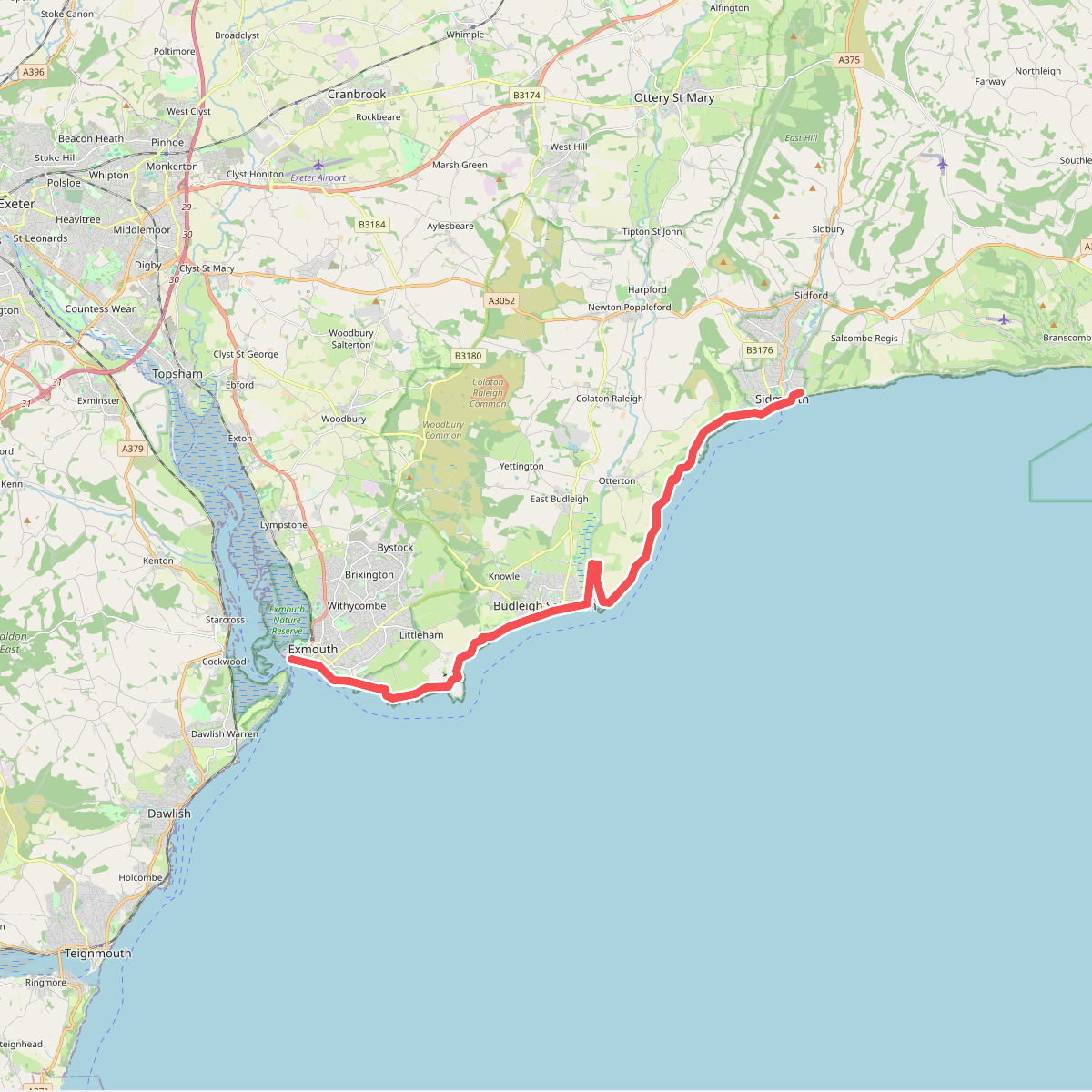
#2. South West Coast Path (Section 44: Exmouth to Sidmouth)
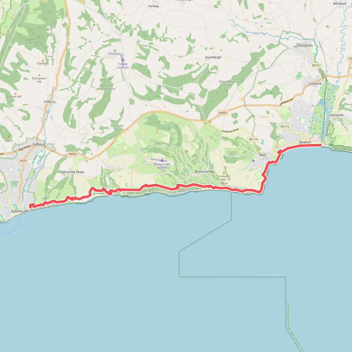
#3. South West Coast Path (Section 45: Sidmouth to Seaton)