The best hiking routes in Demmerkogel-Südhänge, Wellinggraben mit Sulm-, Saggau- und Laßnitzabschnitten und Pößnitzbach
Discover the best walks in Demmerkogel-Südhänge, Wellinggraben mit Sulm-, Saggau- und Laßnitzabschnitten und Pößnitzbach. 3 routes on the map, with descriptions, photos and GPX.
About Demmerkogel-Südhänge, Wellinggraben mit Sulm-, Saggau- und Laßnitzabschnitten und Pößnitzbach
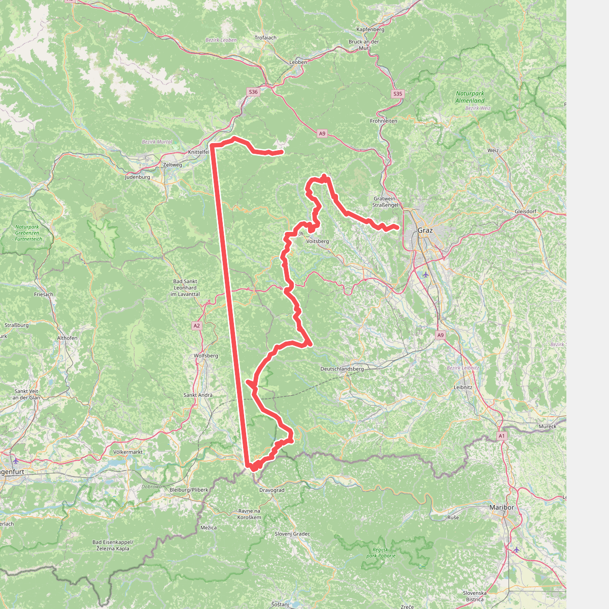
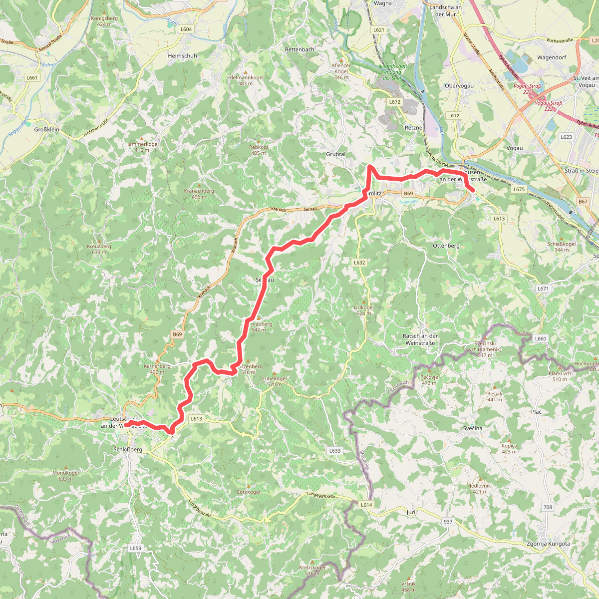
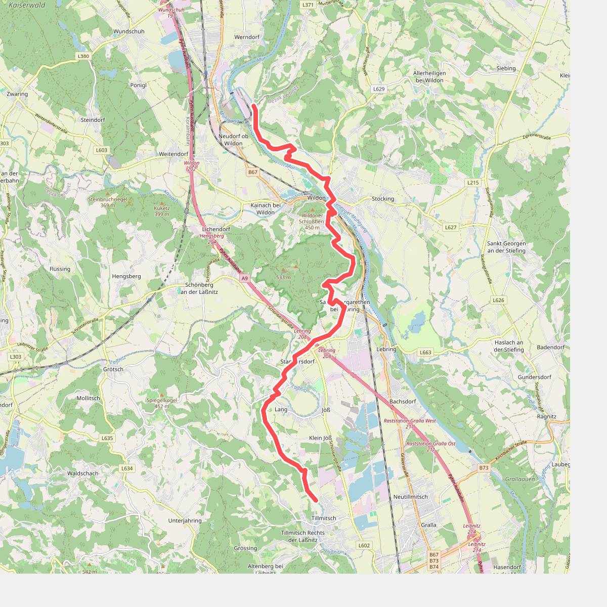
Demmerkogel-Südhänge, Wellinggraben mit Sulm-, Saggau- und Laßnitzabschnitten und Pößnitzbach offers a landscape of steep vineyard slopes, damp valley floors, and narrow alluvial corridors. Unlike flat agricultural plains, this area is defined by its sharp contrast between the dry, sun-exposed south-facing hillsides of the Demmerkogel and the cool, shaded riverbanks of the Sulm, Saggau, Laßnitz, and Pößnitzbach. Walkers will transition quickly from open, terraced wine country to dense riparian woodland.
Read more
About Demmerkogel-Südhänge, Wellinggraben mit Sulm-, Saggau- und Laßnitzabschnitten und Pößnitzbach
Demmerkogel-Südhänge, Wellinggraben mit Sulm-, Saggau- und Laßnitzabschnitten und Pößnitzbach offers a landscape of steep vineyard slopes, damp valley floors, and narrow alluvial corridors. Unlike flat agricultural plains, this area is defined by its sharp contrast between the dry, sun-exposed south-facing hillsides of the Demmerkogel and the cool, shaded riverbanks of the Sulm, Saggau, Laßnitz, and Pößnitzbach. Walkers will transition quickly from open, terraced wine country to dense riparian woodland.
Read moreDemmerkogel-Südhänge, Wellinggraben mit Sulm-, Saggau- und Laßnitzabschnitten und Pößnitzbach offers a landscape of steep vineyard slopes, damp valley floors, and narrow alluvial corridors. Unlike flat agricultural plains, this area is defined by its sharp contrast between the dry, sun-exposed south-facing hillsides of the Demmerkogel and the cool, shaded riverbanks of the Sulm, Saggau, Laßnitz, and Pößnitzbach. Walkers will transition quickly from open, terraced wine country to dense riparian woodland.
Underfoot, the terrain varies from firm, gravelly vineyard tracks on the upper slopes to soft, silty earth along the riverbanks. The lower paths near the Wellinggraben and the river sections are prone to dampness, where wooden footbridges and muddy trails run alongside slow-moving water channels. The vegetation reflects this moisture, with ferns, alders, and willows dominating the valleys, while the higher slopes feature mixed deciduous trees and cultivated vines.
This is not a wilderness of high mountain peaks, but rather a working cultural landscape shaped by centuries of viticulture and river management. In October, the grape harvest dominates the upper slopes, making those paths busier with local activity, while the secluded river valleys remain quiet. Walkers should expect steep climbs on the hillsides and flat, winding paths along the water, rather than long-distance wilderness trails.