The best hiking routes in Dedham Vale National Landscape
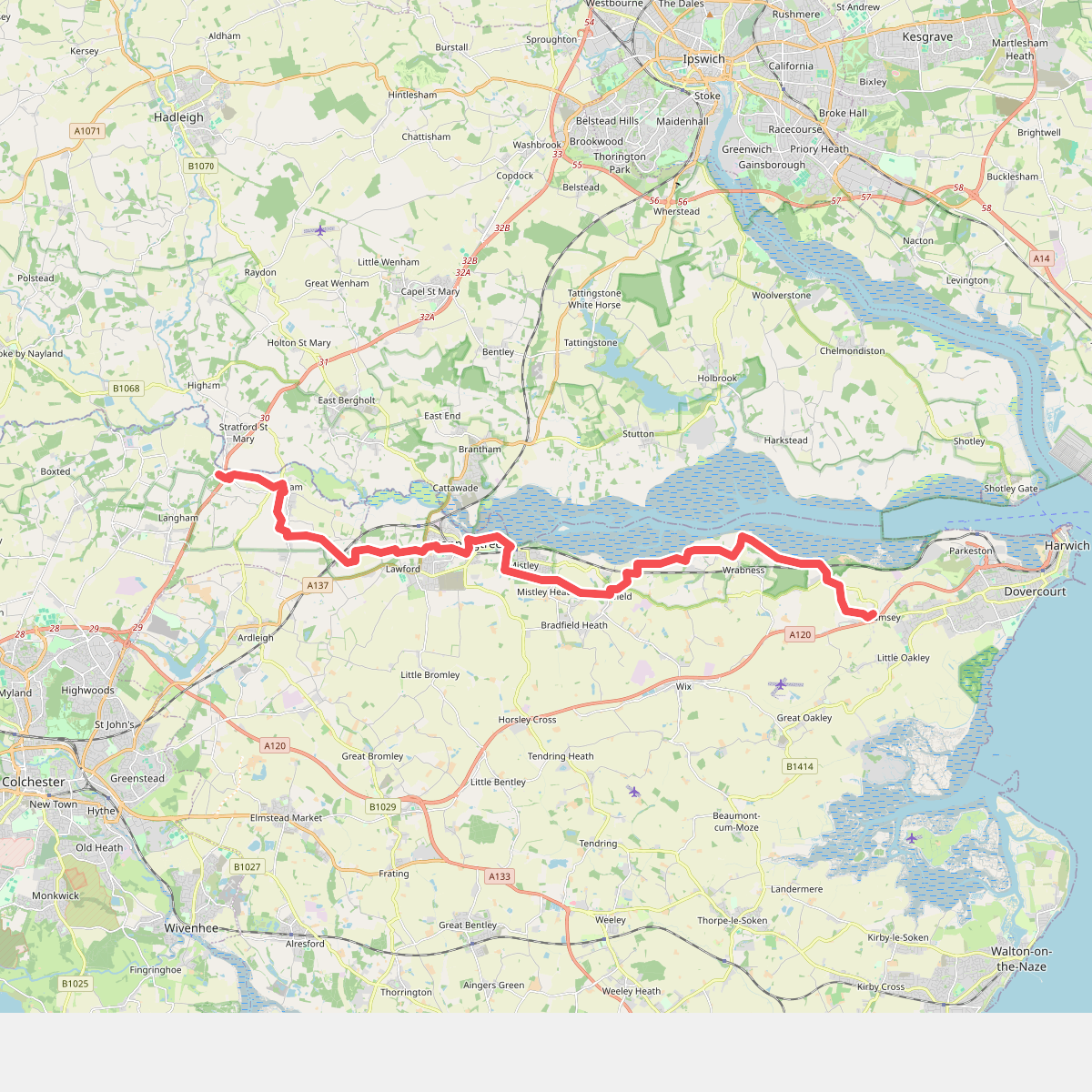
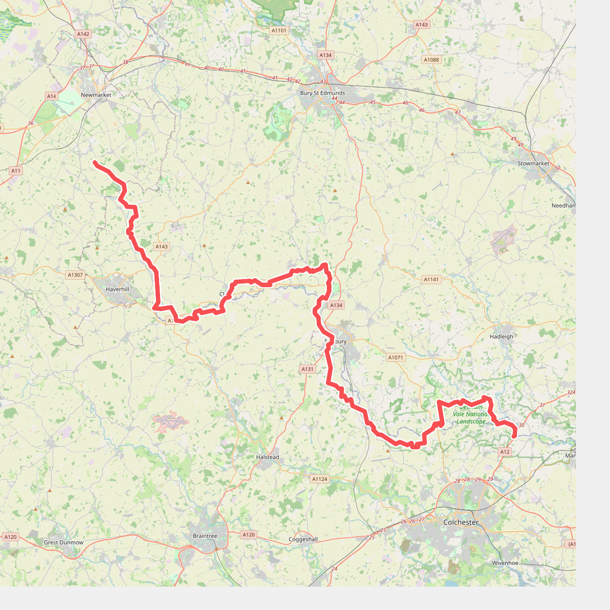
Discover the best walks in Dedham Vale National Landscape. 2 routes on the map, with descriptions, photos and GPX.
About Dedham Vale National Landscape
Dedham Vale National Landscape is a lowland river valley defined by the slow-flowing River Stour, which meanders through a landscape of damp clay pastures, willow plantations, and ancient managed woodlands. Unlike the rugged uplands or sandy heaths found elsewhere in eastern England, this area is characterized by its gentle, rolling valley sides and wide, flat water meadows. Walkers will notice how the landscape has been shaped by centuries of agricultural management, with drainage ditches, mill ponds, and pollarded trees lining the riverbanks.
Read more
About Dedham Vale National Landscape
Dedham Vale National Landscape is a lowland river valley defined by the slow-flowing River Stour, which meanders through a landscape of damp clay pastures, willow plantations, and ancient managed woodlands. Unlike the rugged uplands or sandy heaths found elsewhere in eastern England, this area is characterized by its gentle, rolling valley sides and wide, flat water meadows. Walkers will notice how the landscape has been shaped by centuries of agricultural management, with drainage ditches, mill ponds, and pollarded trees lining the riverbanks.
Read moreDedham Vale National Landscape is a lowland river valley defined by the slow-flowing River Stour, which meanders through a landscape of damp clay pastures, willow plantations, and ancient managed woodlands. Unlike the rugged uplands or sandy heaths found elsewhere in eastern England, this area is characterized by its gentle, rolling valley sides and wide, flat water meadows. Walkers will notice how the landscape has been shaped by centuries of agricultural management, with drainage ditches, mill ponds, and pollarded trees lining the riverbanks.
Underfoot, the terrain consists of grassy riverside paths, dirt tracks through arable fields, and occasional muddy stretches across low-lying meadows. While the main valley floor is relatively flat, the paths climbing the valley sides present gentle gradients rather than steep ascents. In the wetter winter months, particularly around January, the river often spills over into the natural floodplains, temporarily altering the accessible routes and highlighting the working nature of the valley drainage system.
The area around Flatford and Dedham village attracts many day-trippers, but the paths quickly become quieter as you walk further west toward Nayland and Bures. This is a working agricultural landscape of managed hedges and grazing livestock, not a wilderness. It offers a classic English lowland walking experience focused on river ecology and traditional farming patterns rather than dramatic vistas or deep gorges.