The best hiking routes in Cima Fournier e Lago Nero
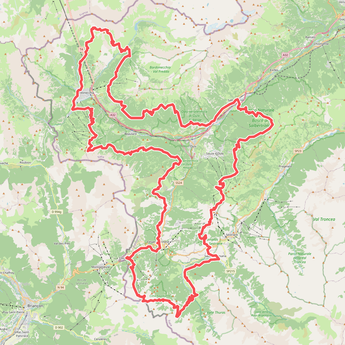
Discover the best walks in Cima Fournier e Lago Nero. 2 routes on the map, with descriptions, photos and GPX.
Managed by Natura2000
About Cima Fournier e Lago Nero
Cima Fournier e Lago Nero offers a distinct transition between dense pine forests and exposed subalpine terrain. The lower sections of this protected area are dominated by larch and mountain pine woodlands, where the path is often soft with needles and interrupted by exposed tree roots. As you climb higher, the trees thin out into open, rocky pastures and scree slopes. The landscape here is defined by its glacial history, visible in the shape of the shallow basin that holds the dark waters of Lago Nero, a peat-influenced lake that sits in contrast to the surrounding grey stone peaks.
Read more
About Cima Fournier e Lago Nero
Cima Fournier e Lago Nero offers a distinct transition between dense pine forests and exposed subalpine terrain. The lower sections of this protected area are dominated by larch and mountain pine woodlands, where the path is often soft with needles and interrupted by exposed tree roots. As you climb higher, the trees thin out into open, rocky pastures and scree slopes. The landscape here is defined by its glacial history, visible in the shape of the shallow basin that holds the dark waters of Lago Nero, a peat-influenced lake that sits in contrast to the surrounding grey stone peaks.
Read moreCima Fournier e Lago Nero offers a distinct transition between dense pine forests and exposed subalpine terrain. The lower sections of this protected area are dominated by larch and mountain pine woodlands, where the path is often soft with needles and interrupted by exposed tree roots. As you climb higher, the trees thin out into open, rocky pastures and scree slopes. The landscape here is defined by its glacial history, visible in the shape of the shallow basin that holds the dark waters of Lago Nero, a peat-influenced lake that sits in contrast to the surrounding grey stone peaks.
Underfoot, the terrain changes from damp, earth-based forest paths to loose shale and rocky tracks as you approach the summit of Cima Fournier. The walking is consistently steep, requiring steady footwork on uneven, unpaved mountain trails rather than flat, groomed gravel. There are no boardwalks or paved promenades here; the routes are natural, rugged, and shaped by seasonal snowmelt and erosion.
This area is best suited for walkers seeking a quiet, montane environment without the infrastructure of busier resort valleys. While the lake itself is a common destination for a rest, the higher ridges toward the summit remain largely austere and rocky. In July, the high pastures show a brief flush of alpine wildflowers, but for most of the year, the visual character of the reserve is defined by dark green conifers, bare rock, and the still, dark surface of the water.