The best hiking routes in CHKO Poodří
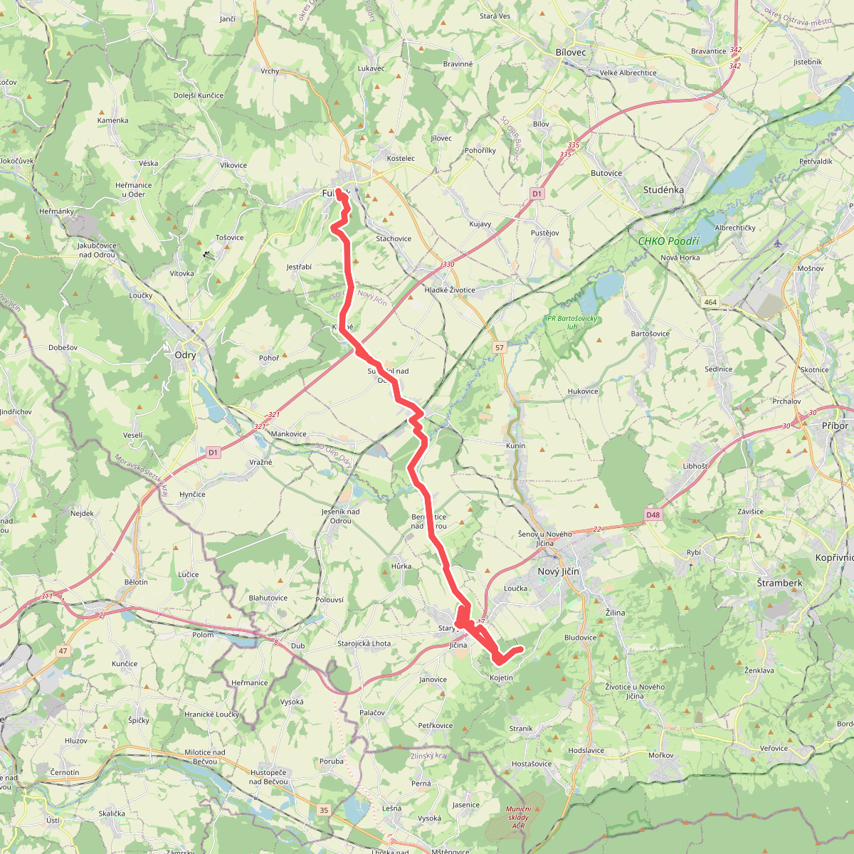
Discover the best walks in CHKO Poodří. 3 routes on the map, with descriptions, photos and GPX.
About CHKO Poodří
CHKO Poodří is a flat floodplain landscape shaped by the meandering Odra River. Unlike the surrounding hilly regions of Moravia, this area is characterized by wide alluvial plains, shallow ponds, and wet meadows. You will not find steep climbs or rocky viewpoints here. Instead, the terrain consists of level dirt tracks, grassy paths, and occasional paved lanes that can become muddy after river rises.
Read more
About CHKO Poodří
CHKO Poodří is a flat floodplain landscape shaped by the meandering Odra River. Unlike the surrounding hilly regions of Moravia, this area is characterized by wide alluvial plains, shallow ponds, and wet meadows. You will not find steep climbs or rocky viewpoints here. Instead, the terrain consists of level dirt tracks, grassy paths, and occasional paved lanes that can become muddy after river rises.
Read moreCHKO Poodří is a flat floodplain landscape shaped by the meandering Odra River. Unlike the surrounding hilly regions of Moravia, this area is characterized by wide alluvial plains, shallow ponds, and wet meadows. You will not find steep climbs or rocky viewpoints here. Instead, the terrain consists of level dirt tracks, grassy paths, and occasional paved lanes that can become muddy after river rises.
Walking here means navigating a network of dikes and field paths that separate active agricultural land from preserved wetlands. The landscape is defined by its water management, featuring a system of historical fishponds, such as those near Jistebník, and old river oxbows. In spring, particularly around April, the forest floors of the alluvial groves are covered in blooming ramsons, while summer brings tall grasses and dense bank vegetation that can partially obscure the river views.
Underfoot, the paths are mostly soft earth and clay, with some gravel sections. It is a working agricultural and fish-farming landscape, so you will share some routes with local farm vehicles. While the main trails near the train stations are popular with local cyclists, the deeper paths along the river bends offer a quieter, more enclosed experience among willow and oak trees.