

The best hiking routes in CHKO Jizerské hory
Discover the best walks in CHKO Jizerské hory. 64 routes on the map, with descriptions, photos and GPX.
About CHKO Jizerské hory
CHKO Jizerské hory is a high-altitude granite plateau characterized by vast peat bogs, dark spruce forests, and rounded summits rather than sharp alpine peaks. The landscape is defined by its waterlogged soils, which you will navigate via wooden boardwalks in the wettest sections, such as around the Jizerka peat bog. Elsewhere, the walking surface consists of wide, hard-packed gravel forestry tracks and rough, stony paths worn through the heather and blueberry scrub.
Read more
About CHKO Jizerské hory
CHKO Jizerské hory is a high-altitude granite plateau characterized by vast peat bogs, dark spruce forests, and rounded summits rather than sharp alpine peaks. The landscape is defined by its waterlogged soils, which you will navigate via wooden boardwalks in the wettest sections, such as around the Jizerka peat bog. Elsewhere, the walking surface consists of wide, hard-packed gravel forestry tracks and rough, stony paths worn through the heather and blueberry scrub.
Read moreCHKO Jizerské hory is a high-altitude granite plateau characterized by vast peat bogs, dark spruce forests, and rounded summits rather than sharp alpine peaks. The landscape is defined by its waterlogged soils, which you will navigate via wooden boardwalks in the wettest sections, such as around the Jizerka peat bog. Elsewhere, the walking surface consists of wide, hard-packed gravel forestry tracks and rough, stony paths worn through the heather and blueberry scrub.
Historically, heavy industry in the surrounding valleys caused severe acid rain damage in the late twentieth century, leaving open, regenerating forest zones alongside older, dense spruce stands. This history is visible in the stark contrast between the exposed, windy plateaus and the sheltered beech forests that cling to the steep northern slopes. You will also encounter large granite boulders and rock labyrinths, which break up the otherwise gently rolling terrain.
This protected area is highly accessible, meaning the central paved paths around Jizerka and Smědava are often busy with both walkers and cyclists, especially in autumn when the beech leaves turn orange. For a quieter experience, seek out the narrow, unpaved footpaths that wind through the peat meadows and spruce thickets away from the main arterial tracks.
Hiking routes in CHKO Jizerské hory (64)
![[Č] Bílý Potok - Rychnov u Jablonce](https://wandelweb.fsn1.your-objectstorage.com/tracks/static-maps/37358-1779135004-large.png)
#1. [Č] Bílý Potok - Rychnov u Jablonce
Hejnice,Bílý Potok,Albrechtice v Jizerských horách,Josefův Důl,Lučany nad Nisou,Janov nad Nisou,Jablonec nad Nisou,Liberec,Rádlo,Rychnov u Jablonce nad Nisou
![[Č] Hejnice - Harrachov](https://wandelweb.fsn1.your-objectstorage.com/tracks/static-maps/37397-1779135015-large.png)
#2. [Č] Hejnice - Harrachov
Szklarska Poręba,Harrachov,Kořenov,Bílý Potok,Lázně Libverda,Hejnice
![[Č] Jablonecký vyhlídkový okruh](https://wandelweb.fsn1.your-objectstorage.com/tracks/static-maps/37365-1779135007-large.png)
#3. [Č] Jablonecký vyhlídkový okruh
Jablonec nad Nisou
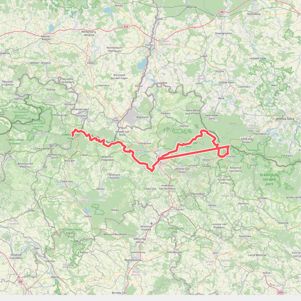
#4. European long distance path E3 - part Czech Republic, North East
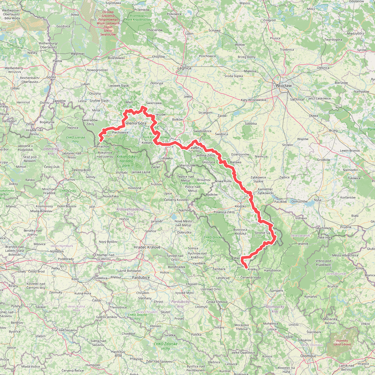
#5. European long distance path E3 - part Poland (west)
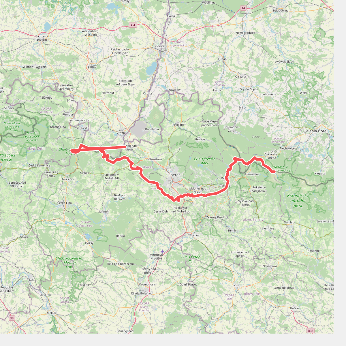
#6. Hřebenovka (Liberecký kraj)
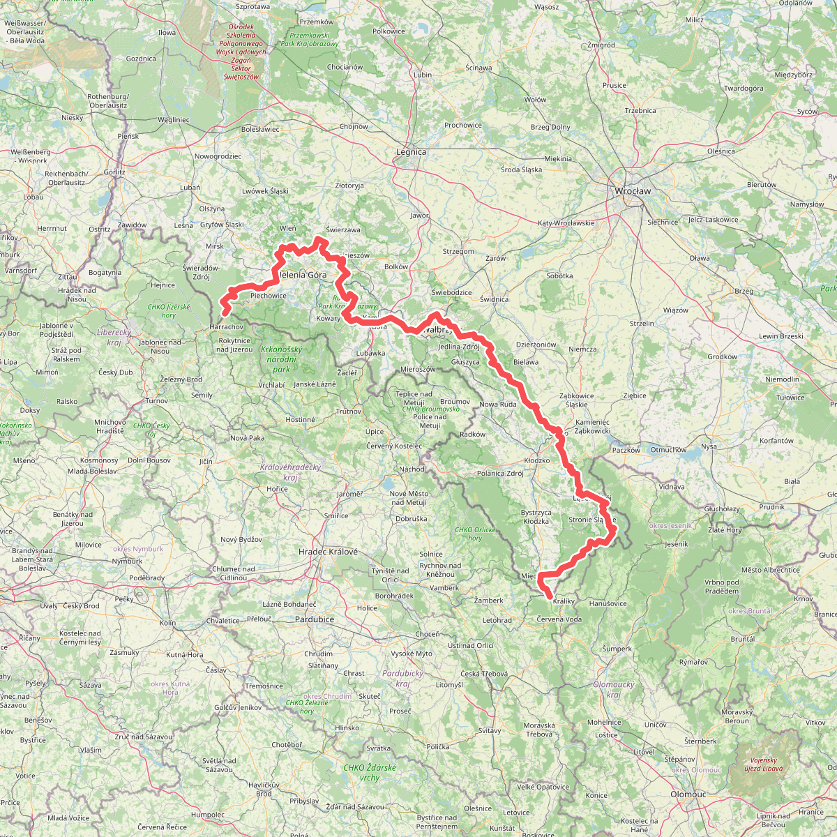
#7. Internationaler Bergwanderweg Eisenach–Budapest (Polen West)
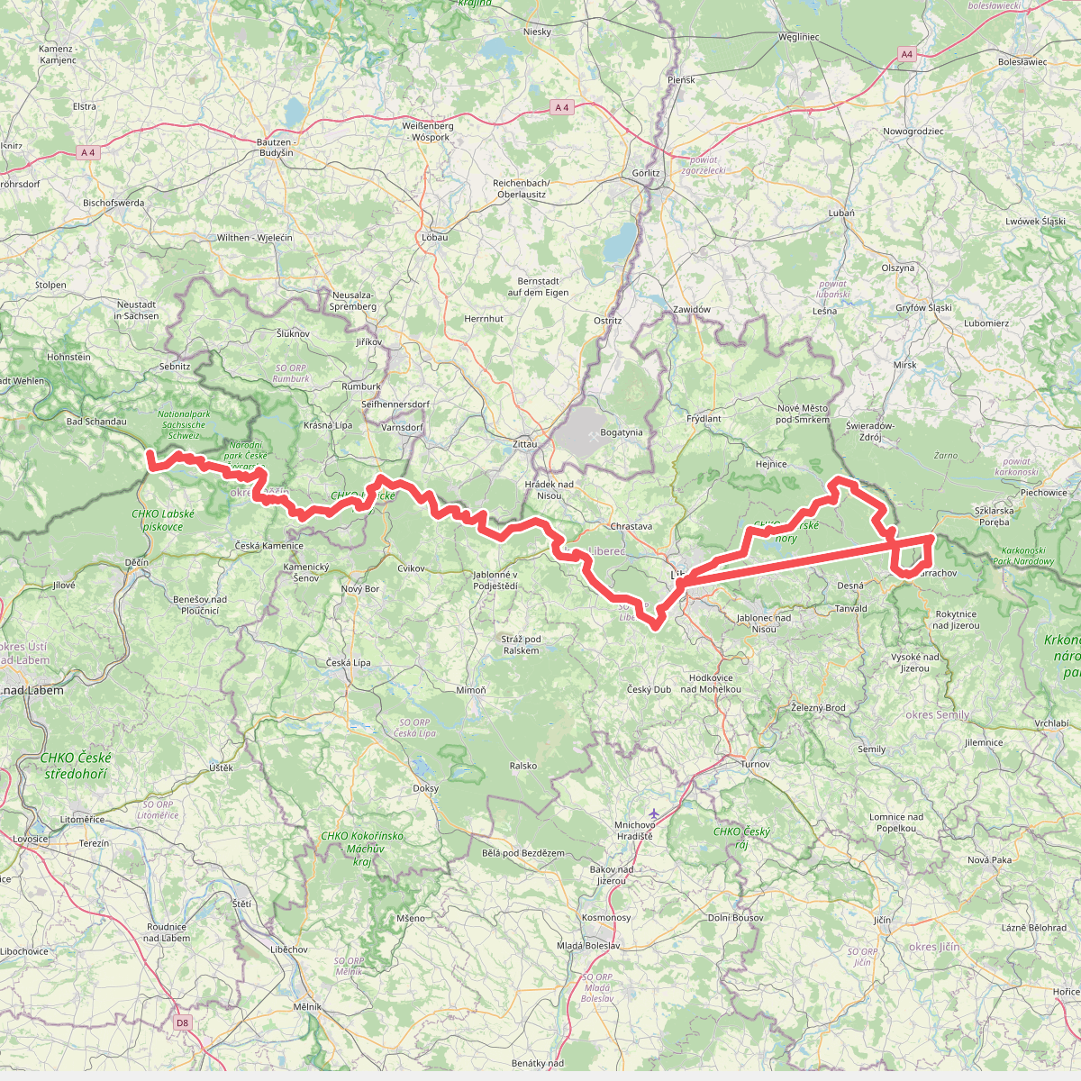
#8. Internationaler Bergwanderweg Eisenach–Budapest (Tschechien West)
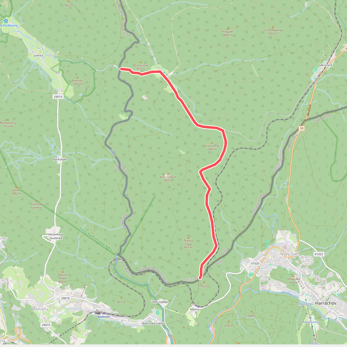
#9. Karlovský most (granica) - do Harrachova (granica)
Szklarska Poręba
![[M] Desná - Tanvald](https://wandelweb.fsn1.your-objectstorage.com/tracks/static-maps/37391-1779135013-large.png)
#10. [M] Desná - Tanvald
Tanvald,Albrechtice v Jizerských horách,Desná
![[M] Frýdlant - Chrastava](https://wandelweb.fsn1.your-objectstorage.com/tracks/static-maps/37330-1779134996-large.png)
#11. [M] Frýdlant - Chrastava
Frýdlant,Dětřichov,Heřmanice,Chrastava
![[M] Harcov - Jablonec nad Nisou](https://wandelweb.fsn1.your-objectstorage.com/tracks/static-maps/37331-1779134996-large.png)
#12. [M] Harcov - Jablonec nad Nisou
Liberec,Jablonec nad Nisou



