

The best hiking routes in Beigua - Monte Dente - Gargassa - Pavaglione
Discover the best walks in Beigua - Monte Dente - Gargassa - Pavaglione. 39 routes on the map, with descriptions, photos and GPX.
About Beigua - Monte Dente - Gargassa - Pavaglione
The Beigua - Monte Dente - Gargassa - Pavaglione area offers a stark transition between the Mediterranean coast and the Apennine interior. Walkers will find a landscape dominated by dark, polished ophiolite rock, which gives the ridges a bare, almost volcanic appearance. This is not a soft woodland walk; the high ridges are exposed and rocky, characterized by sparse grasses and wind-stunted shrubs, while the deep canyons like the Gargassa gorge feature sheer stone walls and dark pools. Underfoot, the paths vary from rugged, loose scree on the steep ascents to hard-packed dirt tracks through the lower chestnut woods.
Read more
About Beigua - Monte Dente - Gargassa - Pavaglione
The Beigua - Monte Dente - Gargassa - Pavaglione area offers a stark transition between the Mediterranean coast and the Apennine interior. Walkers will find a landscape dominated by dark, polished ophiolite rock, which gives the ridges a bare, almost volcanic appearance. This is not a soft woodland walk; the high ridges are exposed and rocky, characterized by sparse grasses and wind-stunted shrubs, while the deep canyons like the Gargassa gorge feature sheer stone walls and dark pools. Underfoot, the paths vary from rugged, loose scree on the steep ascents to hard-packed dirt tracks through the lower chestnut woods.
Read moreThe Beigua - Monte Dente - Gargassa - Pavaglione area offers a stark transition between the Mediterranean coast and the Apennine interior. Walkers will find a landscape dominated by dark, polished ophiolite rock, which gives the ridges a bare, almost volcanic appearance. This is not a soft woodland walk; the high ridges are exposed and rocky, characterized by sparse grasses and wind-stunted shrubs, while the deep canyons like the Gargassa gorge feature sheer stone walls and dark pools. Underfoot, the paths vary from rugged, loose scree on the steep ascents to hard-packed dirt tracks through the lower chestnut woods.
Geology is highly visible along the paths, where the dark serpentine rock often shows green and black banding. This specific rock type creates a nutrient-poor soil that prevents dense forest growth on the heights, leaving the ridges open and rocky. In the deeper ravines, the microclimate changes abruptly, supporting damp mosses and ferns along the stream beds. In May, the lower slopes around Pavaglione show a brief burst of wild orchids and flowering shrubs before the summer heat dries the thin soils.
This area is best suited for walkers who prefer rugged, uneven terrain and steep elevation changes over flat, manicured trails. There are no high alpine meadows or permanent snowfields here, but rather a dry, Mediterranean mountain landscape that feels surprisingly wild despite its proximity to the coast. While the main ridge paths near Monte Beigua are well-marked and relatively easy to follow, the descents into the rocky gorges require careful footwork on loose stones and steep, unshaded slopes.
Hiking routes in Beigua - Monte Dente - Gargassa - Pavaglione (39)
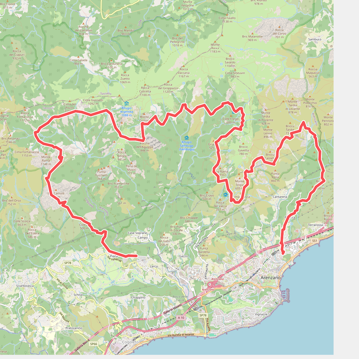
#1. Anello di Arenzano
Arenzano,Genova,Cogoleto
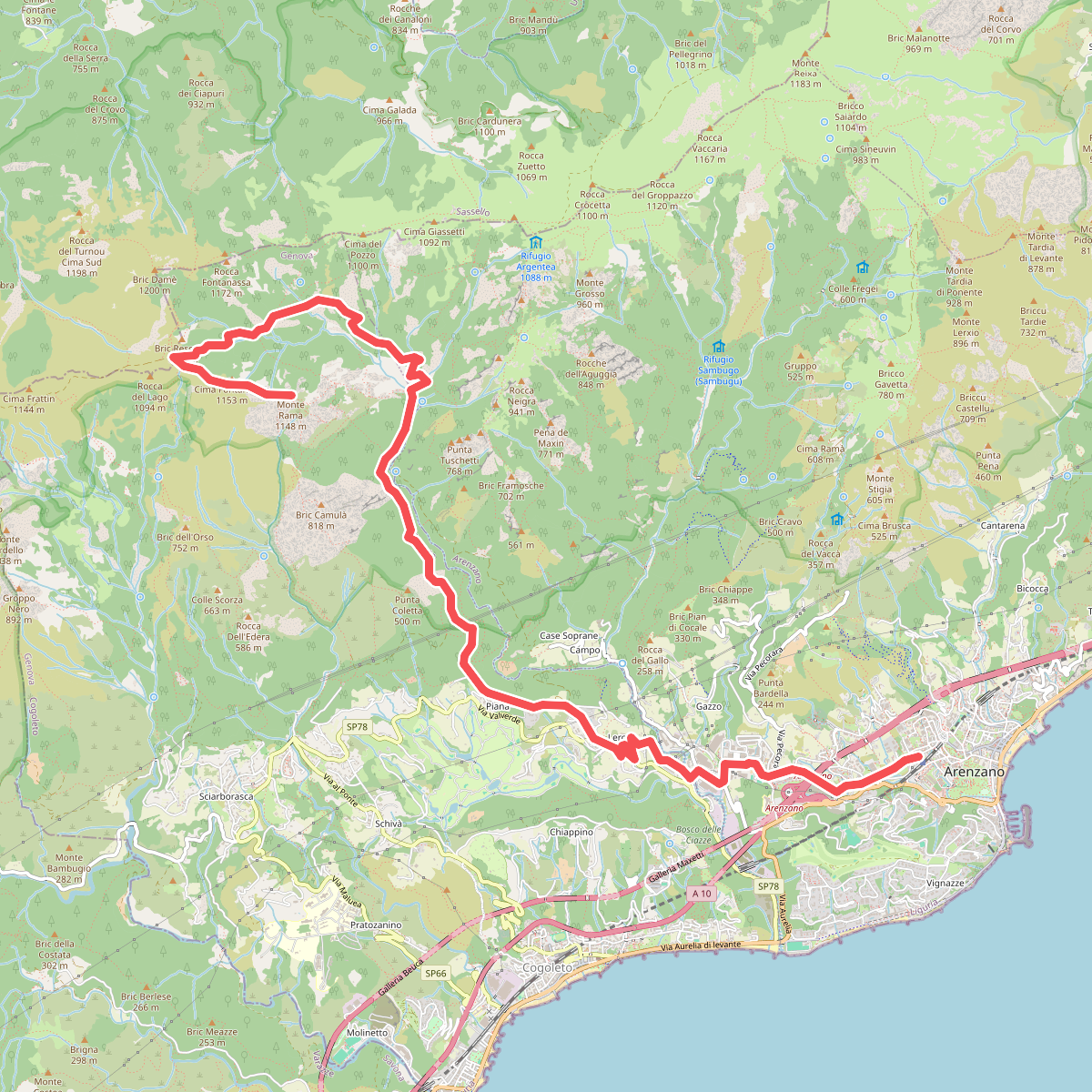
#2. Arenzano-Lerca-Monte Rama
Arenzano,Cogoleto,Sassello
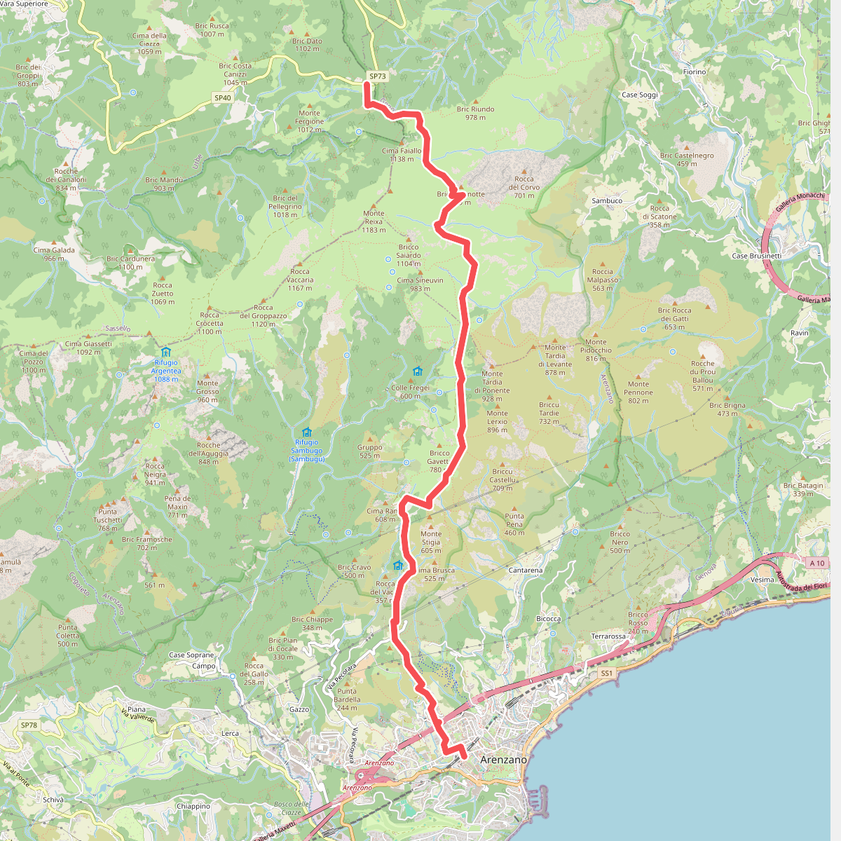
#3. Arenzano - Passo del Faiallo
Arenzano,Genova,Tiglieto
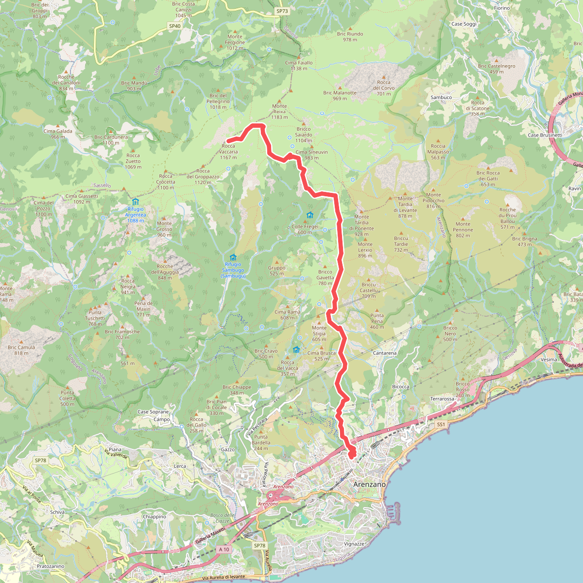
#4. Arenzano - Rocca Vaccaria
Arenzano
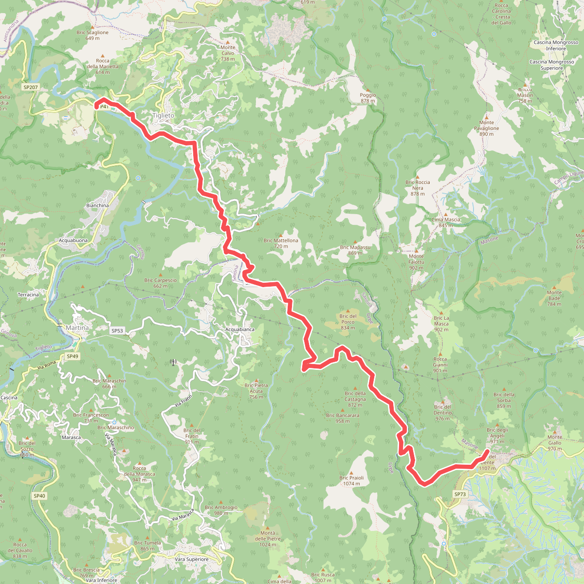
#5. Badia di Tiglieto - Bric del Dente
Tiglieto,Genova,Masone
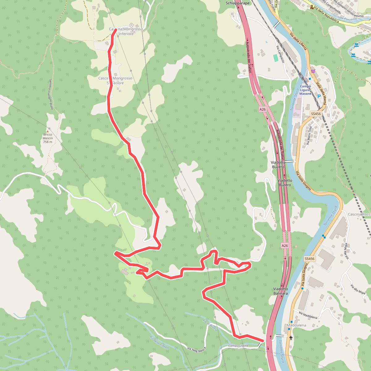
#6. Bivio Cascina Masca - Cascina Mongrosso
Campo Ligure
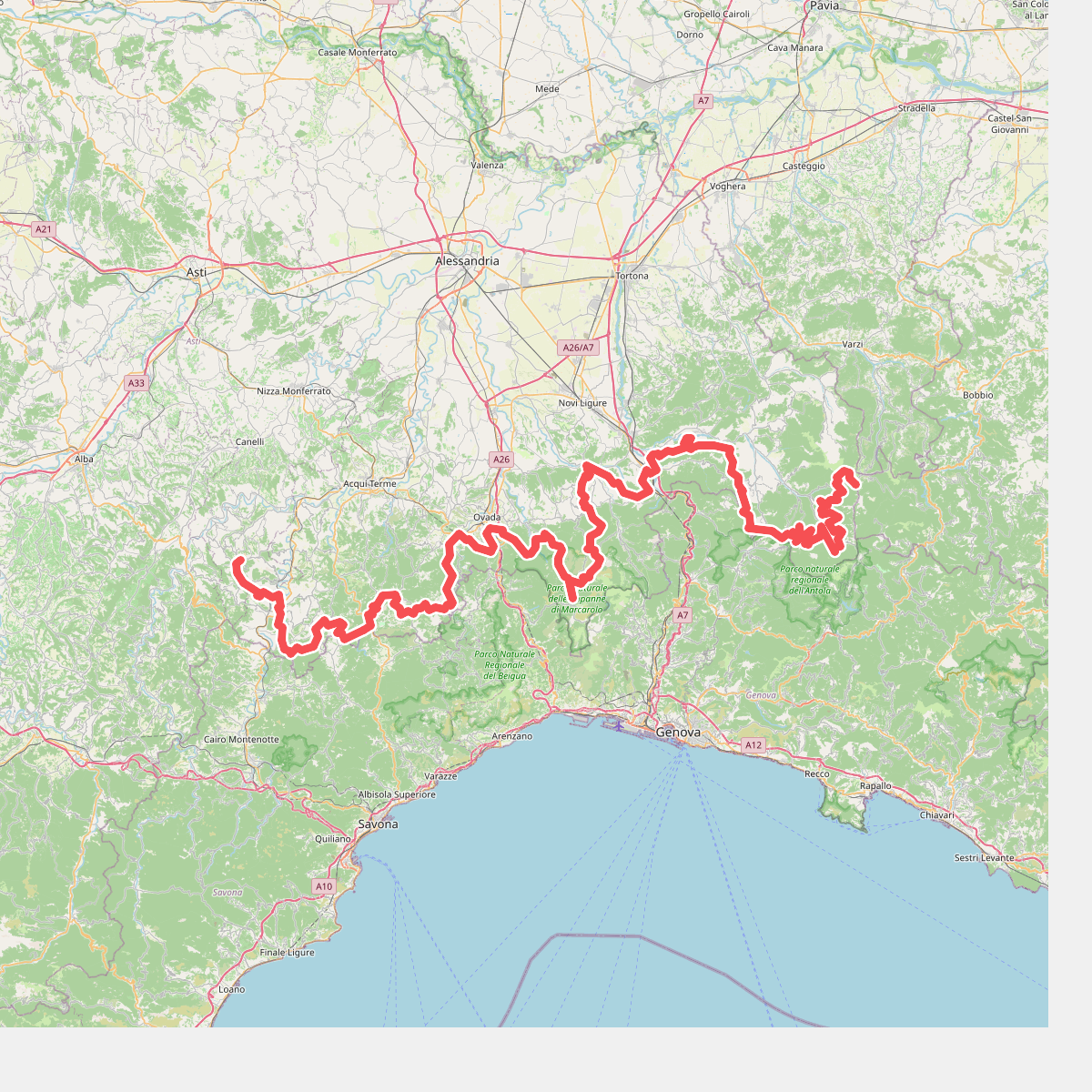
#7. Cammino Piemonte Sud
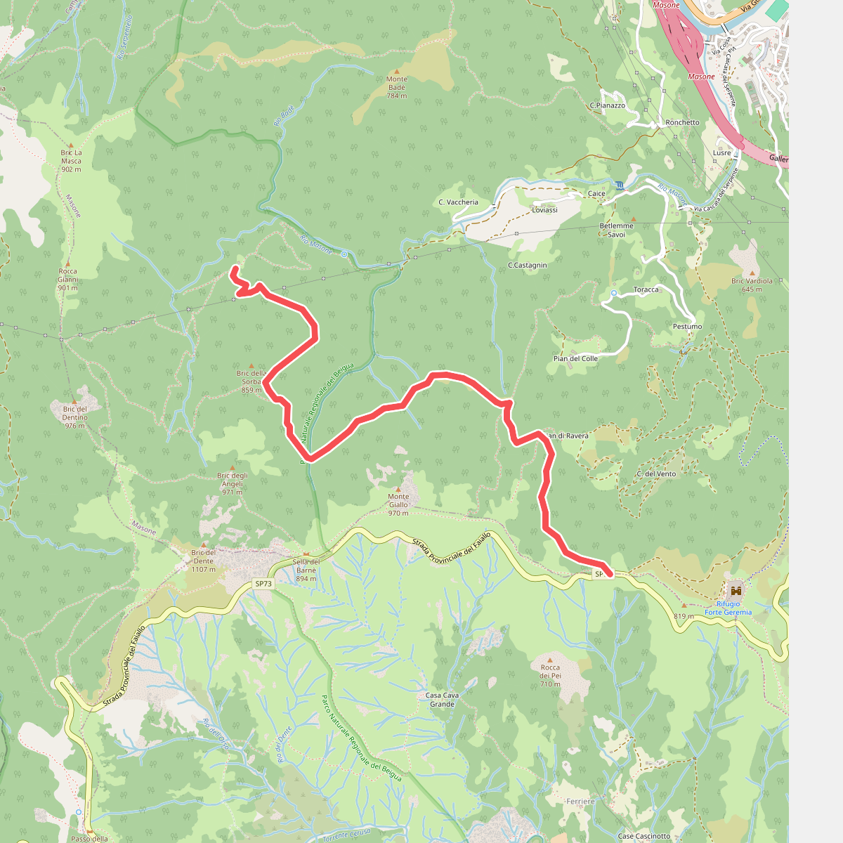
#8. Cascina Troia – Aurucchi
Masone
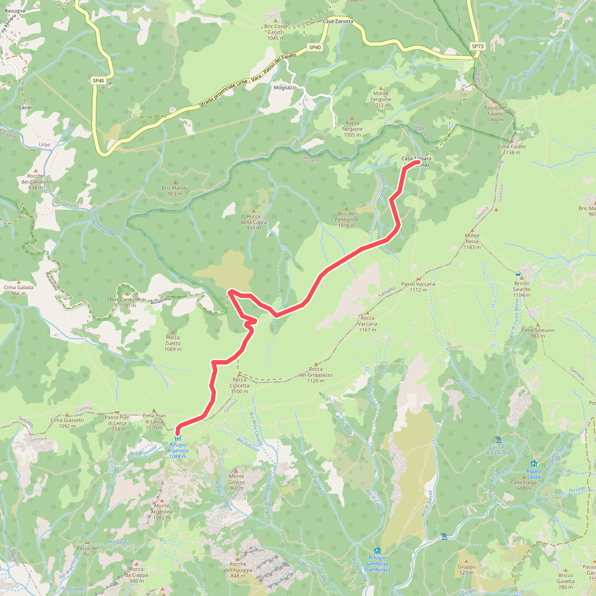
#9. Case Tassara - Rifugio Argentea
Arenzano,Sassello
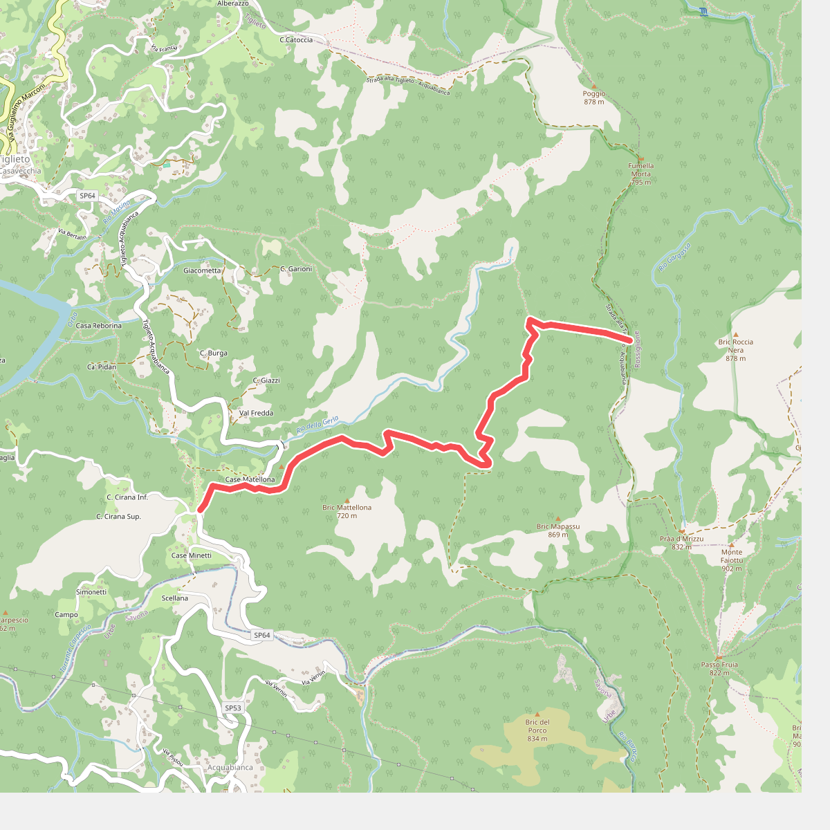
#10. Colla Minetti – Morbetto
Tiglieto
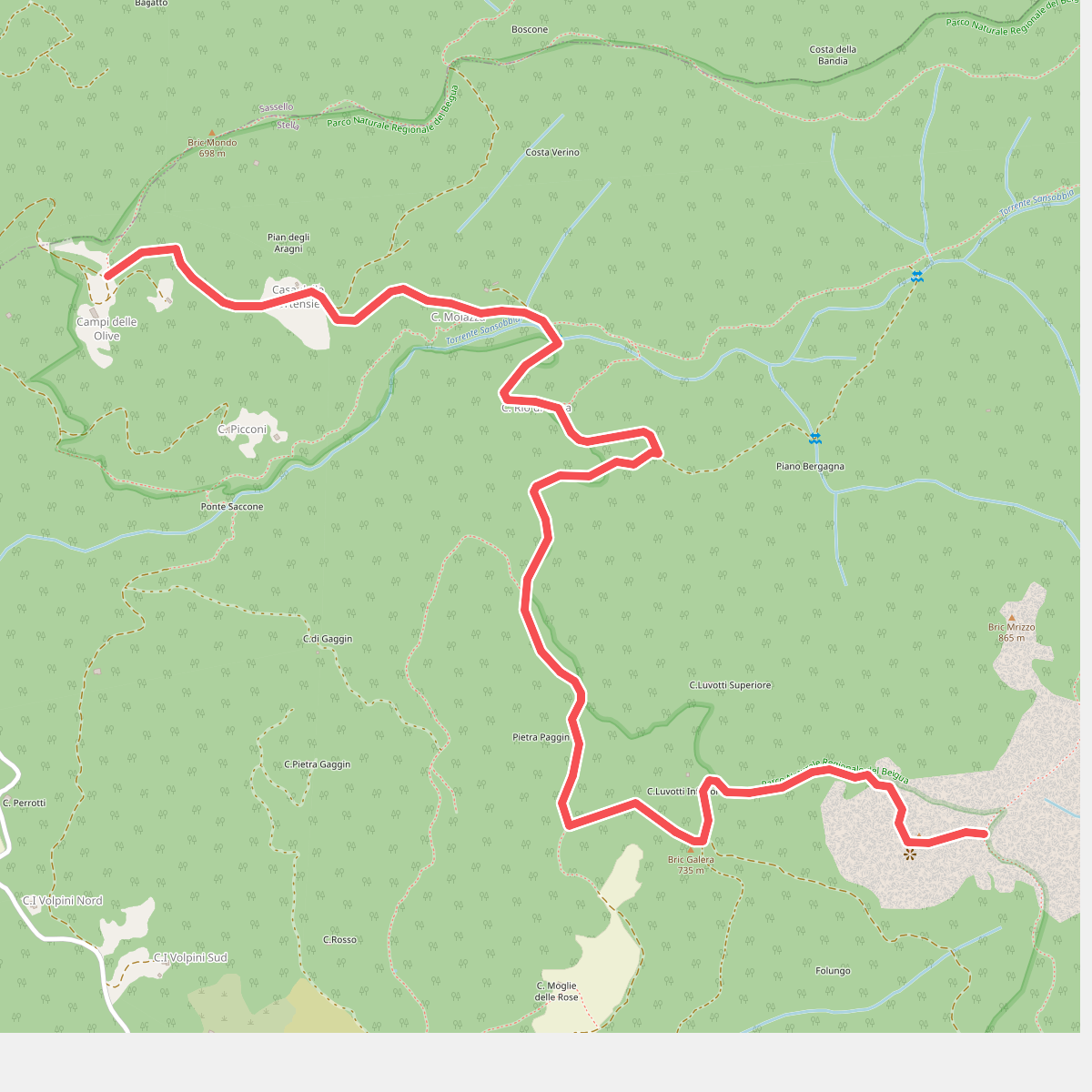
#11. Collegamento AVML - Sentiero cerchio barrato
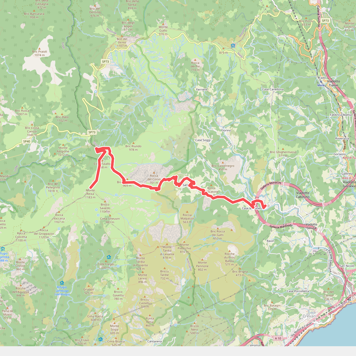
#12. Fabbriche - Sambuco - Monte Reixa
Genova



