The best hiking routes in Altmärkische Wische
Discover the best walks in Altmärkische Wische. 2 routes on the map, with descriptions, photos and GPX.
About Altmärkische Wische
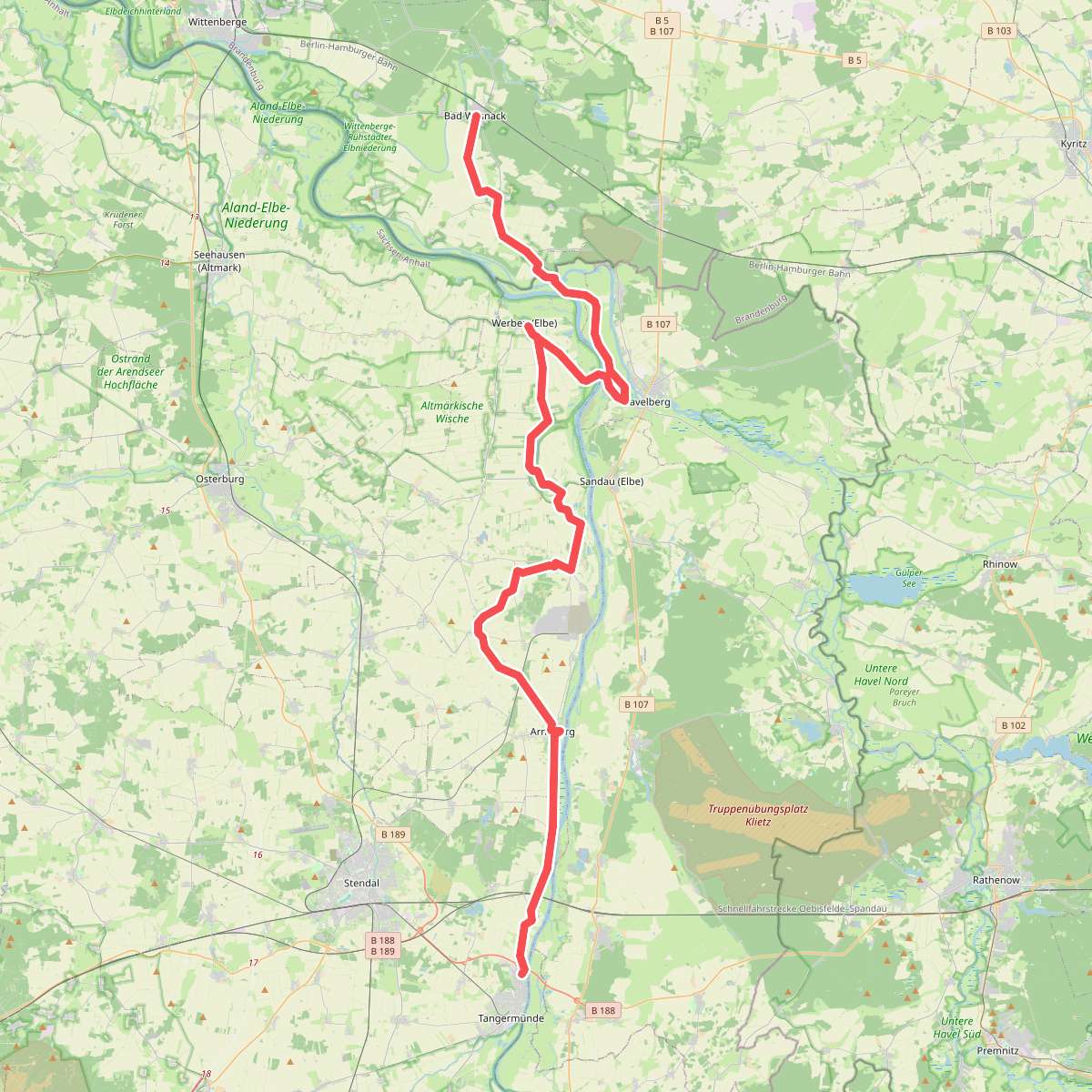
The Altmrkische Wische is a flat alluvial floodplain located between the Elbe and Aland rivers. Unlike the dry pine forests of the surrounding Altmark region, this landscape is dominated by heavy clay soils, drainage ditches, and vast pasturelands. The terrain is entirely level, offering no hills or natural woodland cover, but instead presenting a network of embankments, dikes, and scattered willow trees that mark the boundaries of agricultural fields.
Read more
About Altmärkische Wische
The Altmrkische Wische is a flat alluvial floodplain located between the Elbe and Aland rivers. Unlike the dry pine forests of the surrounding Altmark region, this landscape is dominated by heavy clay soils, drainage ditches, and vast pasturelands. The terrain is entirely level, offering no hills or natural woodland cover, but instead presenting a network of embankments, dikes, and scattered willow trees that mark the boundaries of agricultural fields.
Read moreThe Altmrkische Wische is a flat alluvial floodplain located between the Elbe and Aland rivers. Unlike the dry pine forests of the surrounding Altmark region, this landscape is dominated by heavy clay soils, drainage ditches, and vast pasturelands. The terrain is entirely level, offering no hills or natural woodland cover, but instead presenting a network of embankments, dikes, and scattered willow trees that mark the boundaries of agricultural fields.
Underfoot, walkers will primarily encounter paved dike paths, concrete agricultural tracks, and grassy embankments. The heavy clay soil off the paved paths becomes sticky and dense after periods of high water, making sturdy footwear essential. The landscape is shaped by historical river regulation, which is visible in the straight drainage channels and the massive dikes built to protect the low-lying settlements from Elbe floods.
This area is best suited for those who appreciate open, agricultural river plains rather than dense forests or varied topography. While spring brings greening pastures and nesting storks to the village chimneys, the winter months reveal a starker, more exposed landscape. The paths are generally quiet, used mainly by local farmers, offering a straightforward walking experience along the river defense systems.