The best hiking routes in Abisko nationalpark
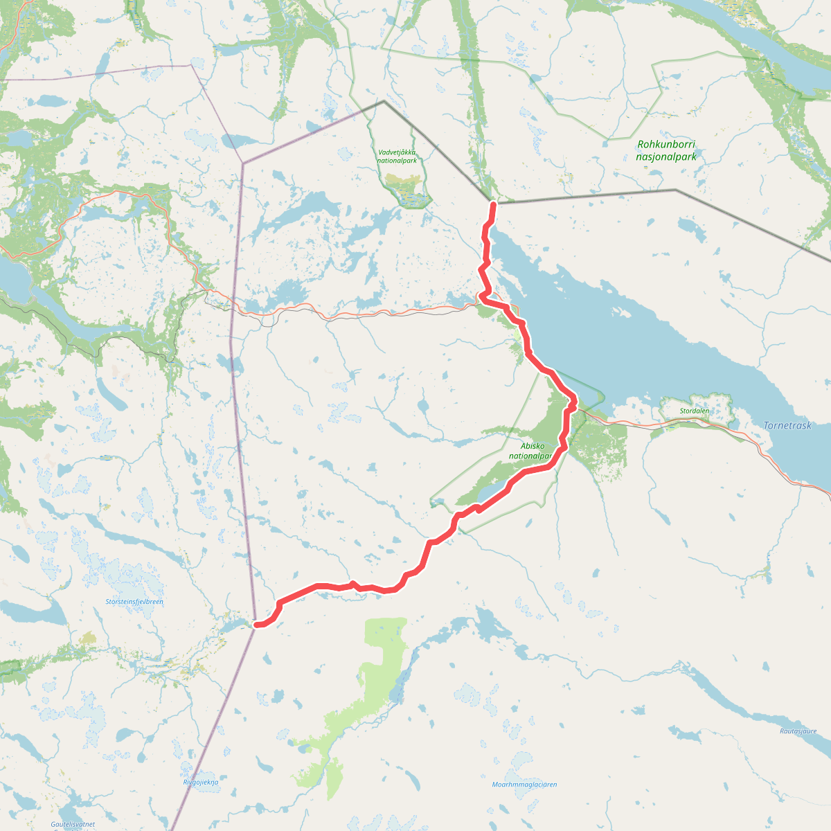
Discover the best walks in Abisko nationalpark. 1 routes on the map, with descriptions, photos and GPX.
About Abisko nationalpark
Abisko nationalpark is characterized by a broad, birch-forested valley carved by glaciers, flanked by bare, rounded mountain ridges. Unlike the rugged, jagged peaks found further west toward the Norwegian border, the terrain here is defined by gentler slopes and a rain-shadow effect that makes the valley notably drier than surrounding mountain areas. The Abiskojohka river cuts through the park in a deep, sheer-sided canyon, showing layers of schist and dolomite that are easily visible from the main trails.
Read more
About Abisko nationalpark
Abisko nationalpark is characterized by a broad, birch-forested valley carved by glaciers, flanked by bare, rounded mountain ridges. Unlike the rugged, jagged peaks found further west toward the Norwegian border, the terrain here is defined by gentler slopes and a rain-shadow effect that makes the valley notably drier than surrounding mountain areas. The Abiskojohka river cuts through the park in a deep, sheer-sided canyon, showing layers of schist and dolomite that are easily visible from the main trails.
Read moreAbisko nationalpark is characterized by a broad, birch-forested valley carved by glaciers, flanked by bare, rounded mountain ridges. Unlike the rugged, jagged peaks found further west toward the Norwegian border, the terrain here is defined by gentler slopes and a rain-shadow effect that makes the valley notably drier than surrounding mountain areas. The Abiskojohka river cuts through the park in a deep, sheer-sided canyon, showing layers of schist and dolomite that are easily visible from the main trails.
Underfoot, walkers will encounter a distinct contrast between the valley floor and the higher ground. The lower sections feature wide, well-worn dirt paths and extensive wooden boardwalks laid over wet mires and peat bogs to protect the fragile subarctic vegetation. As you ascend above the treeline into the alpine zone, the birch forest gives way to dwarf shrubs, heath, and rocky ground where the path becomes a stony track marked by red-painted cairns.
The park serves as the starting point for the Kungsleden trail, meaning the main route near the tourist station and the canyon can be busy with walkers, especially during the autumn color change in September. Those seeking quieter paths can head toward the side valleys or climb toward the saddle of Nuolja, where the vegetation changes rapidly from lush meadow wildflowers to hardy alpine lichens.