

The best hiking routes in Zurich
Discover the best walks in Zurich. 174 routes on the map, with descriptions, photos and GPX.
About Zurich
Zürich is defined by its water and its steep, wooded hillsides rather than high alpine peaks. For a walk with a sense of openness, the flat lakeside promenades offer wide paths of hard-packed gravel and asphalt, where the view across the water is always present. In contrast, the steep ridges flanking the city, such as the Uetliberg or the Zürichberg, provide immediate access to dense beech forests. On these slopes, the underfoot terrain changes to dirt tracks, exposed tree roots, and occasional stone steps, requiring a steadier footing.
Read more
About Zurich
Zürich is defined by its water and its steep, wooded hillsides rather than high alpine peaks. For a walk with a sense of openness, the flat lakeside promenades offer wide paths of hard-packed gravel and asphalt, where the view across the water is always present. In contrast, the steep ridges flanking the city, such as the Uetliberg or the Zürichberg, provide immediate access to dense beech forests. On these slopes, the underfoot terrain changes to dirt tracks, exposed tree roots, and occasional stone steps, requiring a steadier footing.
Read moreZürich is defined by its water and its steep, wooded hillsides rather than high alpine peaks. For a walk with a sense of openness, the flat lakeside promenades offer wide paths of hard-packed gravel and asphalt, where the view across the water is always present. In contrast, the steep ridges flanking the city, such as the Uetliberg or the Zürichberg, provide immediate access to dense beech forests. On these slopes, the underfoot terrain changes to dirt tracks, exposed tree roots, and occasional stone steps, requiring a steadier footing.
In November, the deciduous trees on the hillsides lose their leaves, opening up clear views through the branches down to the grey lake below. The lower lakeside paths remain highly accessible and are often busier with local strollers, while the steep forest trails higher up offer a much quieter, more enclosed atmosphere. You will not find deep, isolated wilderness here; the hum of the city or the distant chime of church bells remains a constant backdrop even under the dense canopy.
Choosing a route depends on whether you prefer flat, paved walking alongside boats and lawns or a brisk climb through managed timber forests. The transition between these two landscapes is abrupt, allowing you to move from a lakeside park to a steep forest trail within a short walk. The paths are well-maintained throughout, but they reflect a highly managed Swiss landscape where nature and urban infrastructure exist side by side.
Zoom or pan for more routes
Hiking routes in Zurich (174)
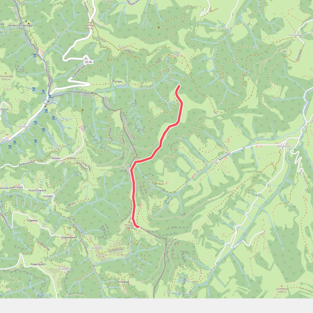
#1. Aelpli Süd-Hirzegg
Mosnang,Fischenthal
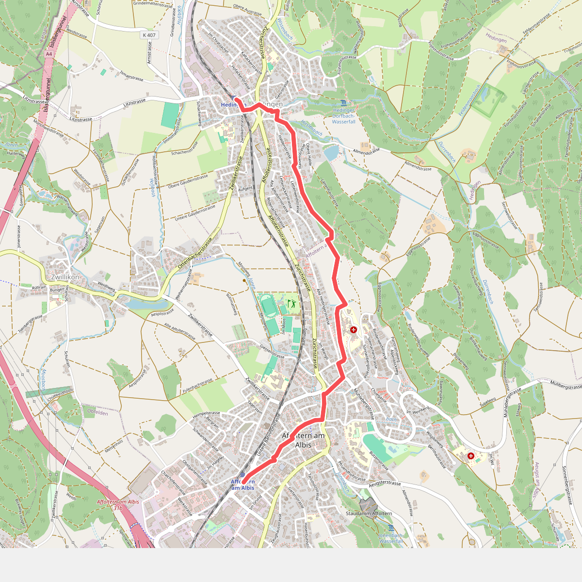
#2. Affoltern a. A. - Hedingen
Affoltern am Albis,Hedingen
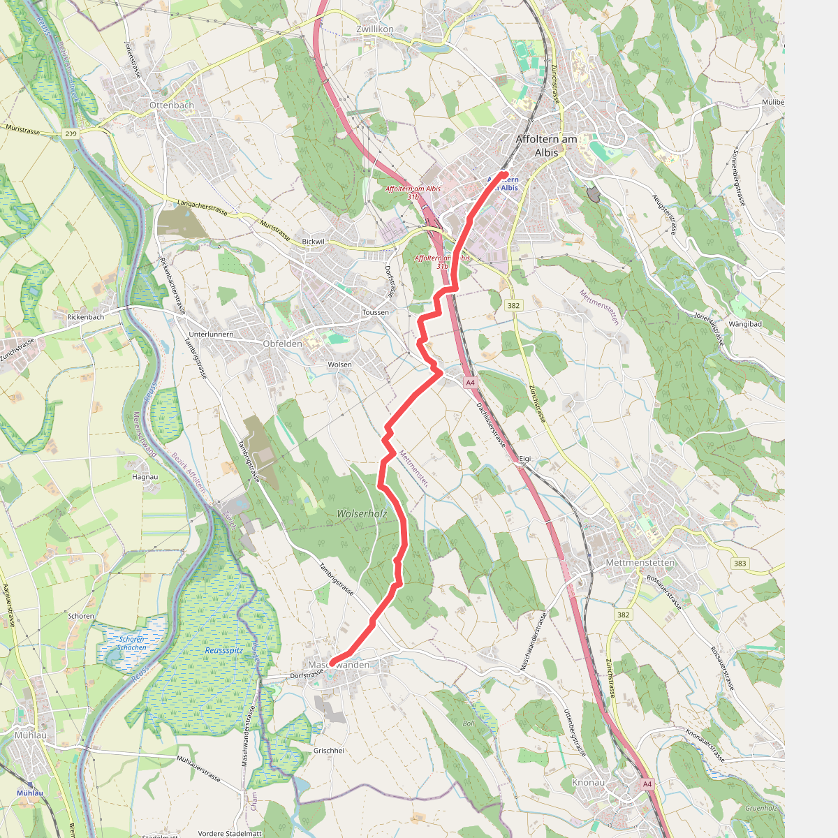
#3. Affoltern a. A. - Maschwanden
Affoltern am Albis,Obfelden,Mettmenstetten,Maschwanden
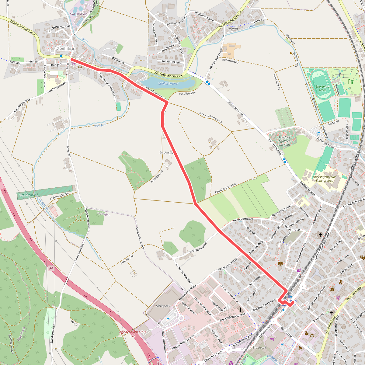
#4. Affoltern a. A. - Zwillikon
Affoltern am Albis
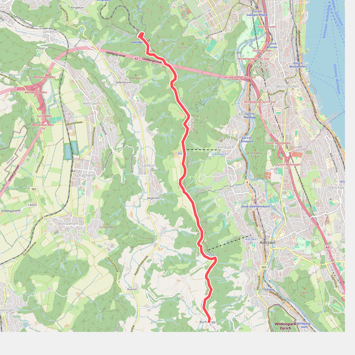
#5. Albisgrat-Höhenweg
Zürich,Stallikon
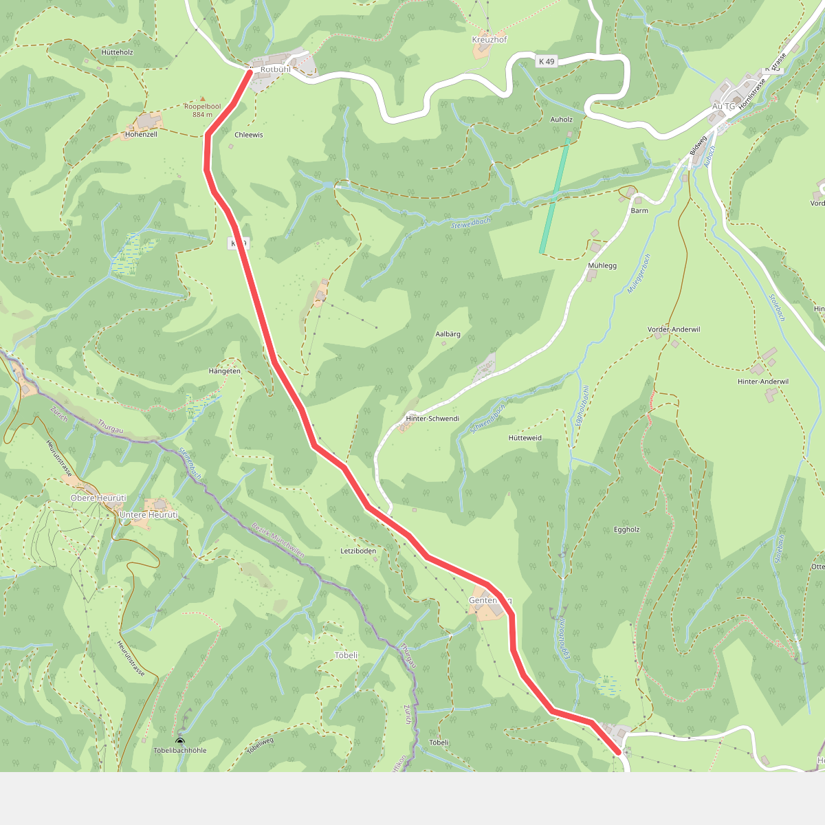
#6. Allenwinden-Rotbühl
Fischingen
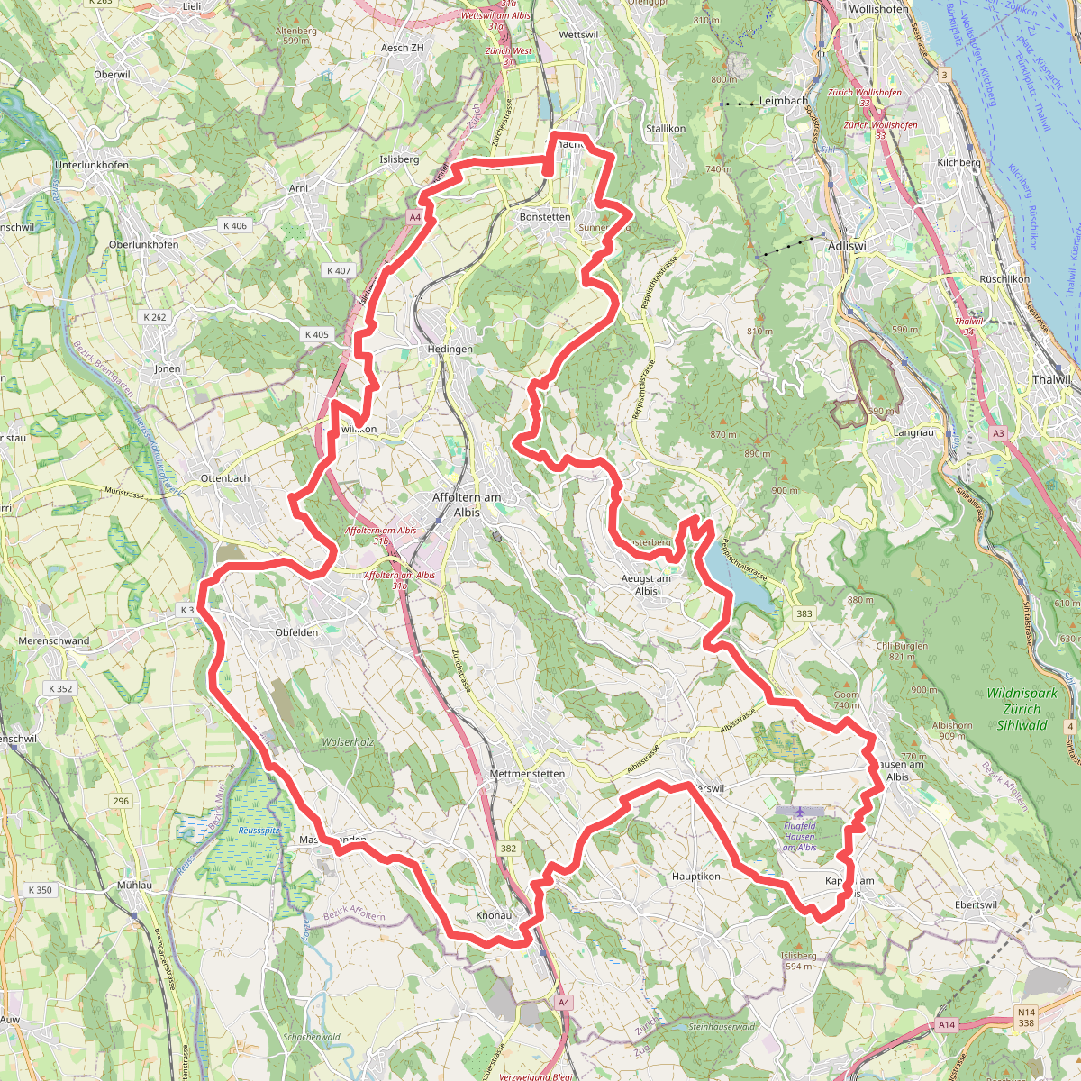
#7. Ämtlerwäg
Bonstetten,Hedingen,Affoltern am Albis,Aeugst am Albis,Mettmenstetten,Rifferswil,Hausen am Albis,Kappel am Albis,Knonau,Maschwanden,Obfelden,Ottenbach
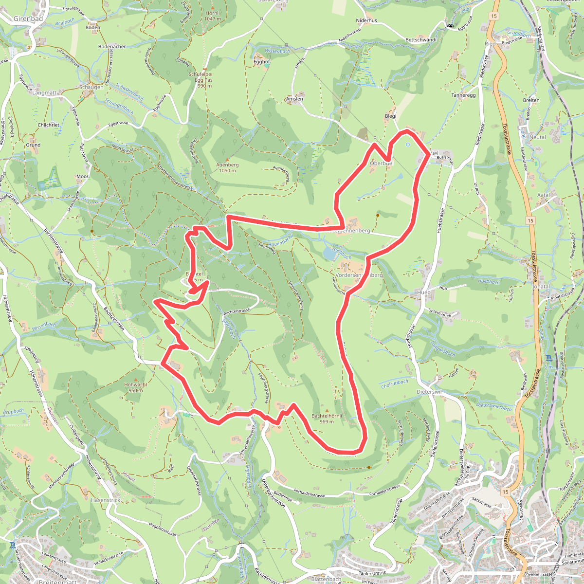
#8. Bachtel-Kulm
Hinwil,Wald (ZH)
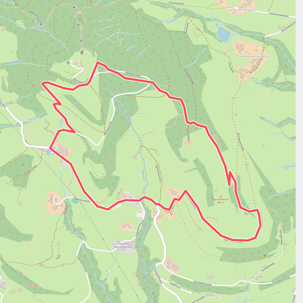
#9. Bachtel-Spalt
Hinwil,Wald (ZH)
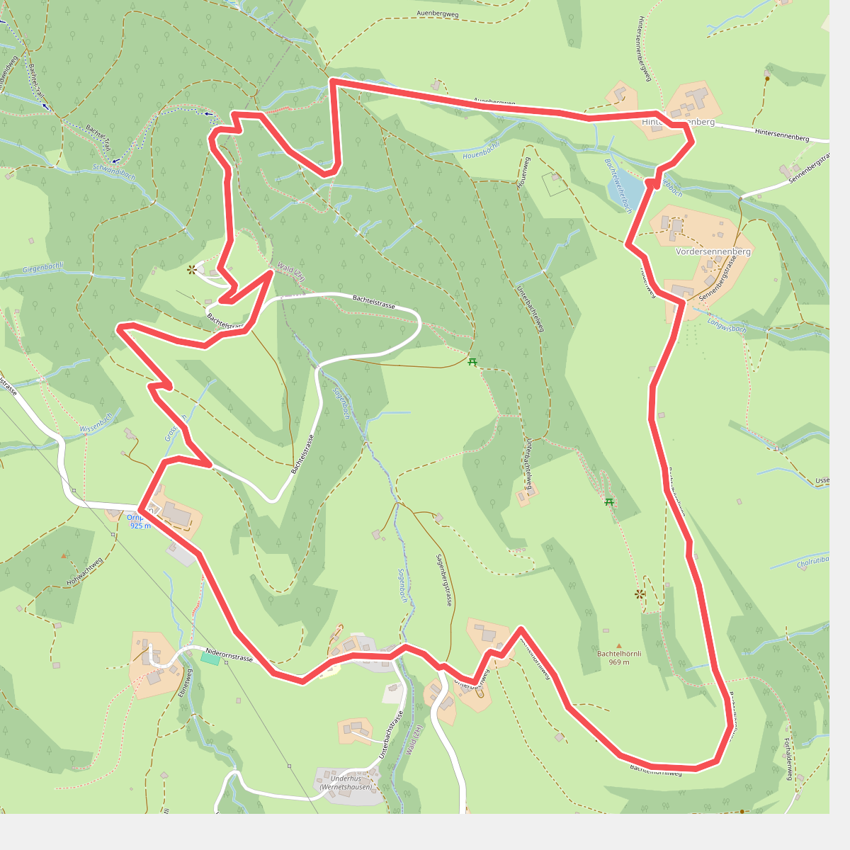
#10. Bachtelweiher
Hinwil,Wald (ZH)
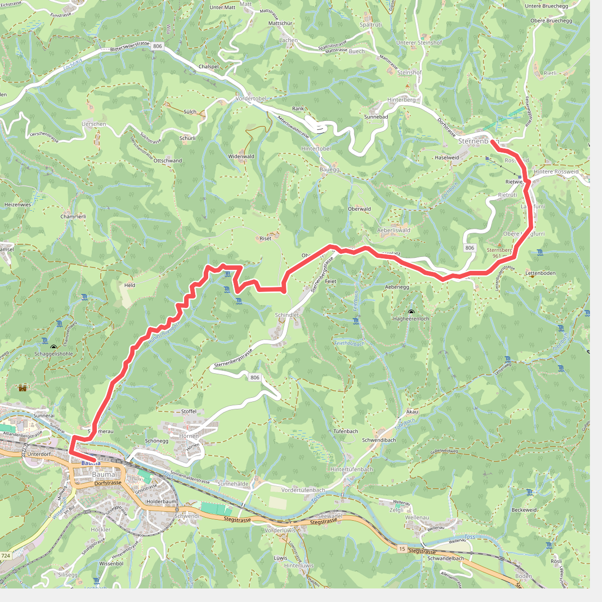
#11. Bauma Bhf. - Sternenberg
Bauma
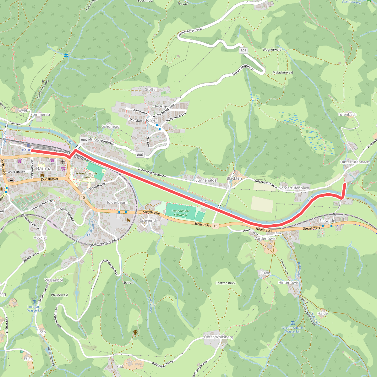
#12. Bauma - Tüfenbach
Bauma



