

The best hiking routes in Zug
Discover the best walks in Zug. 118 routes on the map, with descriptions, photos and GPX.
About Zug
Zug offers a landscape of sharp contrasts between the flat, urbanized lakeshore and the steep, wooded ridges that rise immediately behind the town. Walking here means choosing between the paved, level promenades directly along the shores of Lake Zug and the rugged, clay-and-gravel forest paths of the Zugerberg. The lower lakeside paths are highly developed and structured, while the higher trails quickly transition into working agricultural land and managed forestry zones.
Read more
About Zug
Zug offers a landscape of sharp contrasts between the flat, urbanized lakeshore and the steep, wooded ridges that rise immediately behind the town. Walking here means choosing between the paved, level promenades directly along the shores of Lake Zug and the rugged, clay-and-gravel forest paths of the Zugerberg. The lower lakeside paths are highly developed and structured, while the higher trails quickly transition into working agricultural land and managed forestry zones.
Read moreZug offers a landscape of sharp contrasts between the flat, urbanized lakeshore and the steep, wooded ridges that rise immediately behind the town. Walking here means choosing between the paved, level promenades directly along the shores of Lake Zug and the rugged, clay-and-gravel forest paths of the Zugerberg. The lower lakeside paths are highly developed and structured, while the higher trails quickly transition into working agricultural land and managed forestry zones.
On the higher slopes, you will notice how the terrain has been shaped by dairy farming and timber harvesting, with wide meadows bordered by dense beech woods. The ground underfoot alternates between hard-packed gravel forestry tracks and soft, muddy earth paths through the trees. It is a landscape of steady, moderate climbs rather than dramatic alpine peaks, offering clear views across the water to the distant low hills of neighboring cantons.
In November, the higher trails on the Zugerberg often sit above the low-lying fog that blankets the lake, providing a clear, cold perspective on the valley below. While the lakeside paths are often busier with local walkers and commuters, the upper forest tracks offer a quieter, more rural experience. You will not find deep, isolated wilderness here, but rather a highly organized Swiss landscape where nature and agriculture exist side by side.
Zoom or pan for more routes
Hiking routes in Zug (118)
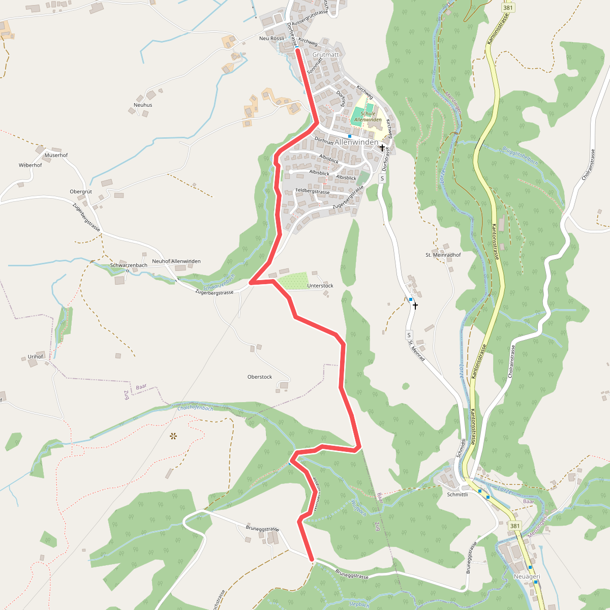
#1. Allenwinden - Unter Brunegg
Baar,Zug
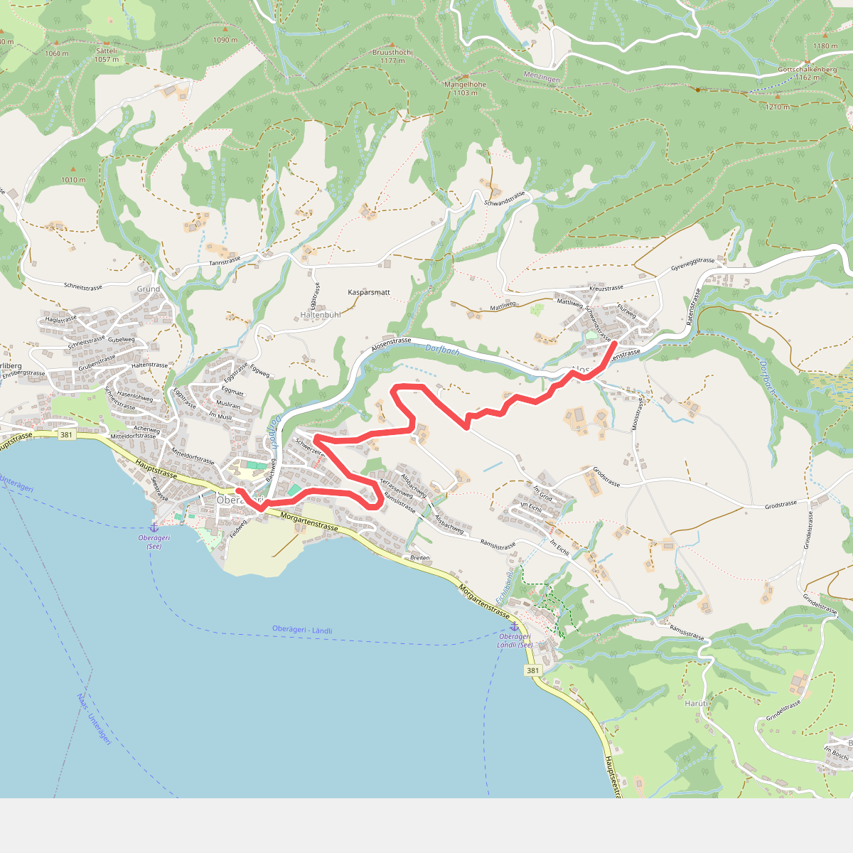
#2. Alosen - Oberägeri
Oberägeri
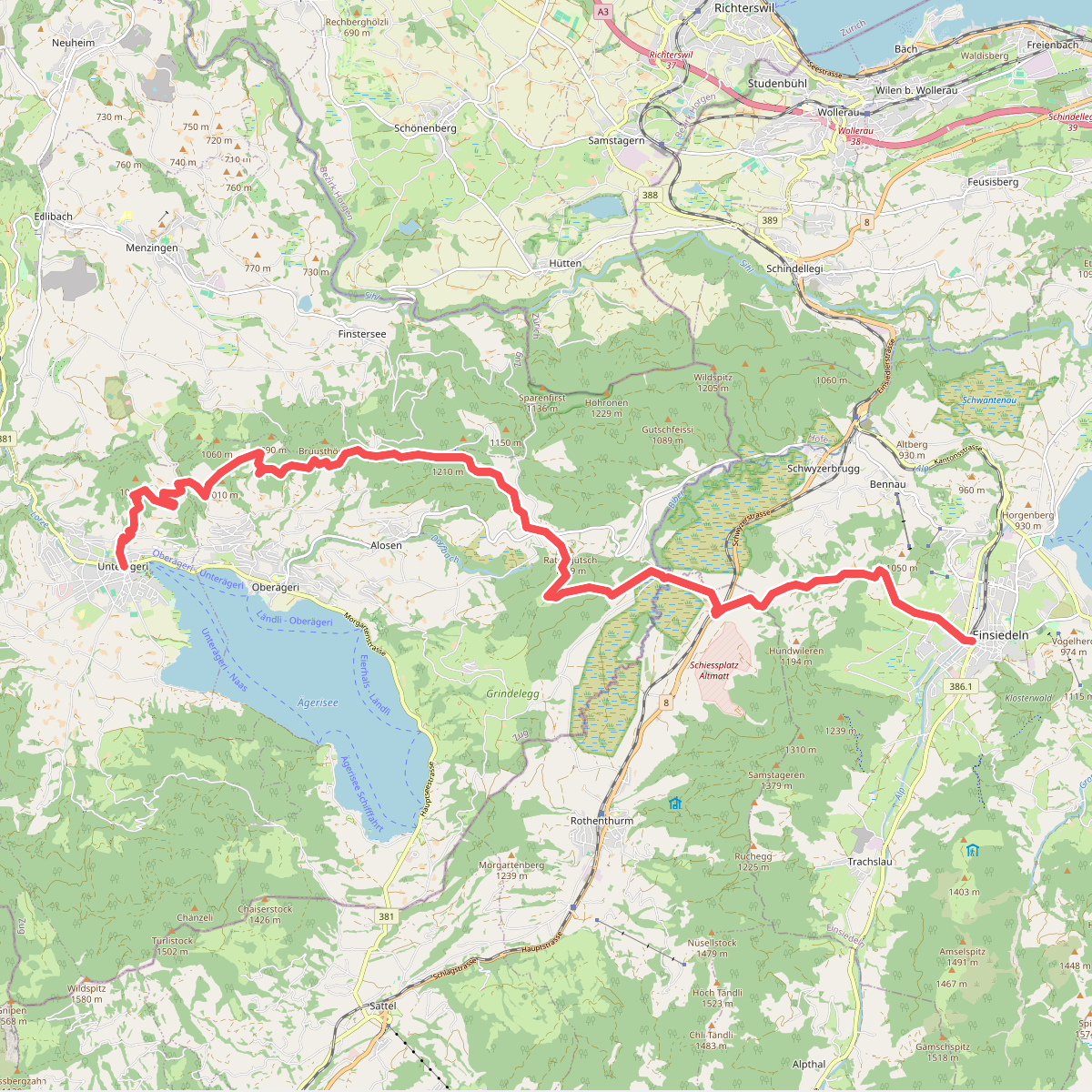
#3. Alpenpanorama-Weg
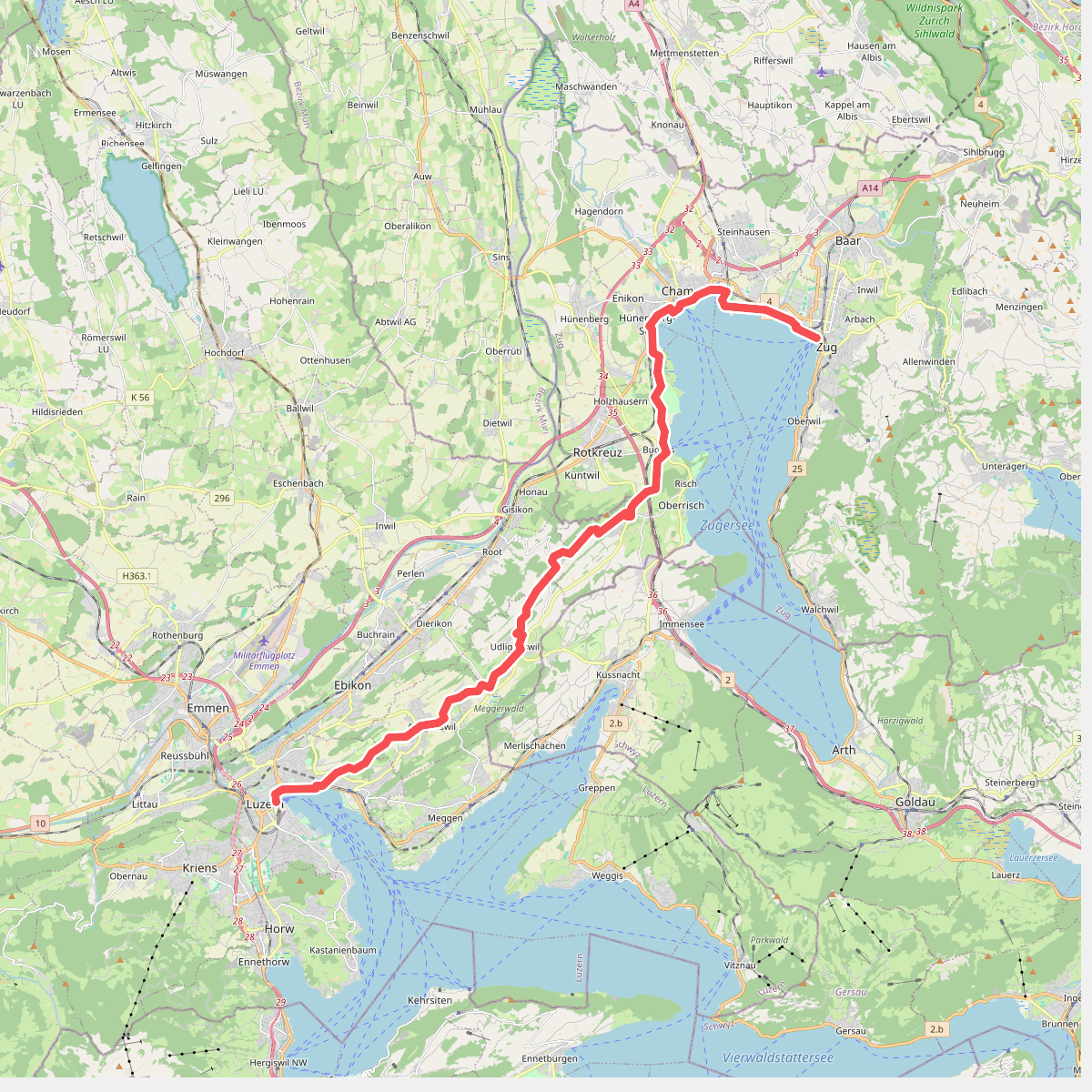
#4. Alpenpanorama-Weg
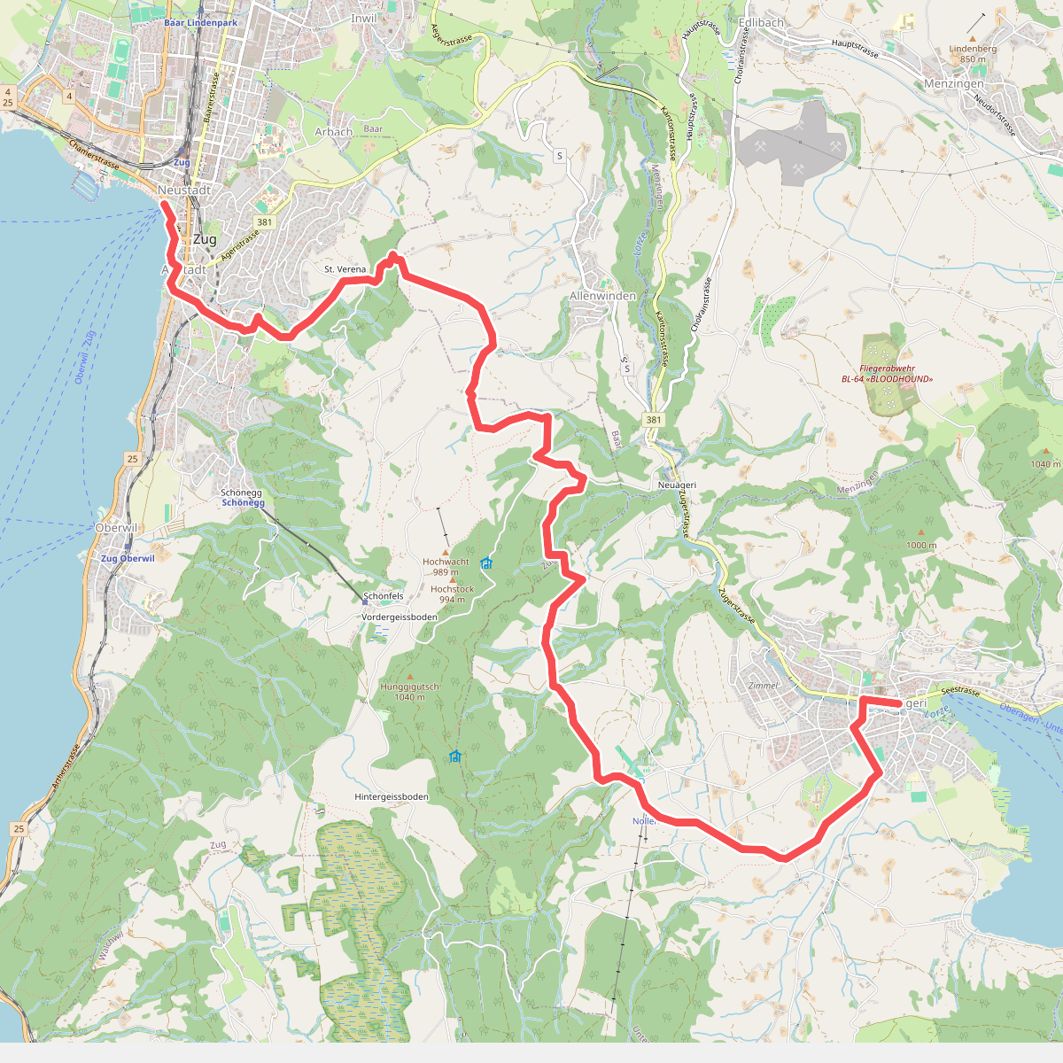
#5. Alpenpanorama-Weg
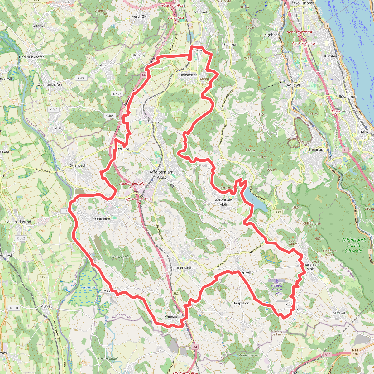
#6. Ämtlerwäg
Bonstetten,Hedingen,Affoltern am Albis,Aeugst am Albis,Mettmenstetten,Rifferswil,Hausen am Albis,Kappel am Albis,Knonau,Maschwanden,Obfelden,Ottenbach
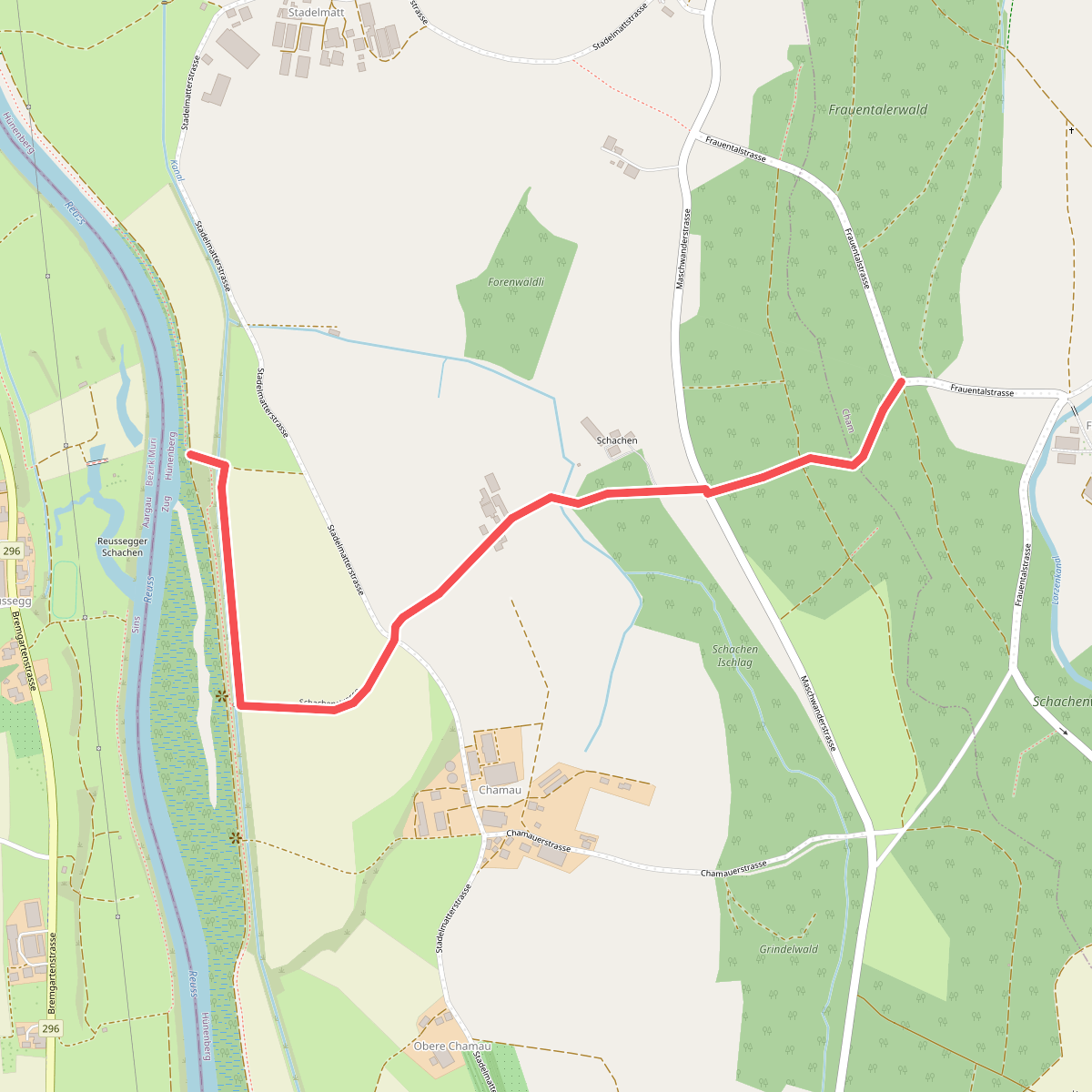
#7. Äusserer Schachen - Frauental
Cham,Hünenberg
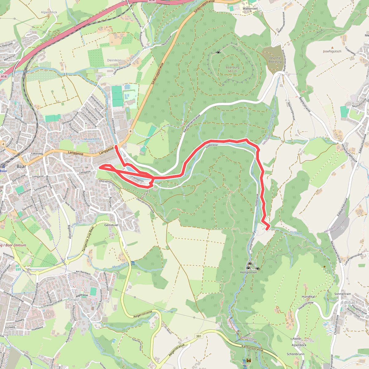
#8. Baar - Höllgrotten
Baar,Neuheim
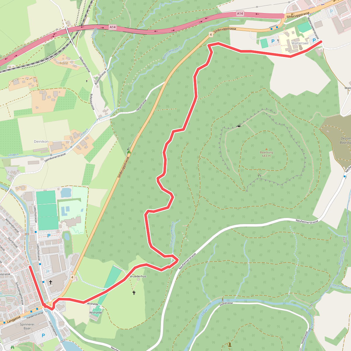
#9. Baar - Walterswil
Baar
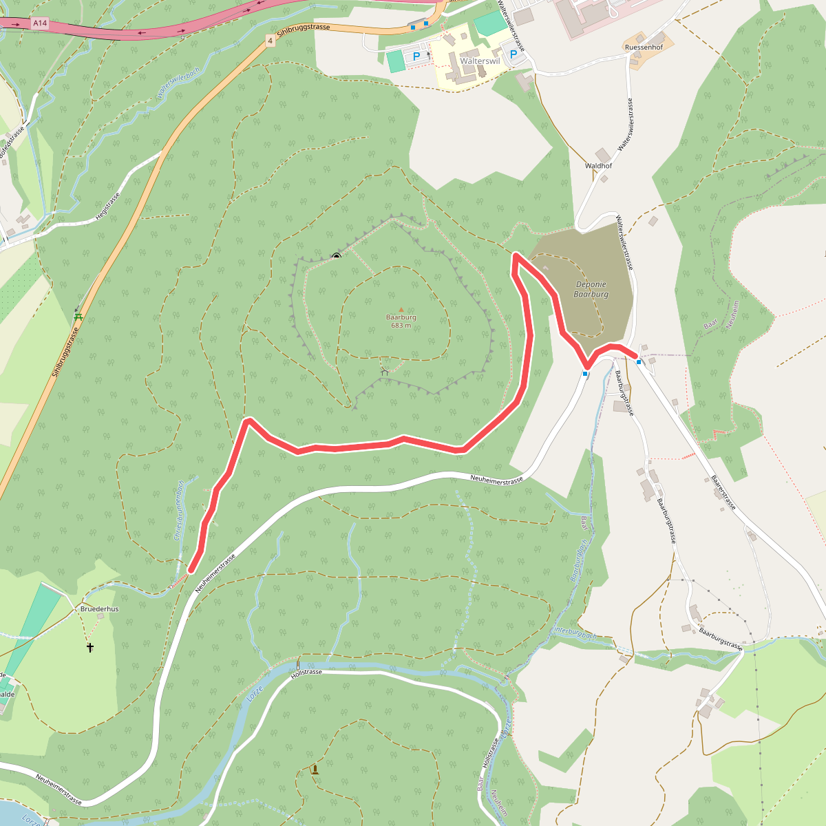
#10. Baarburg - Chriesibrunnen
Baar
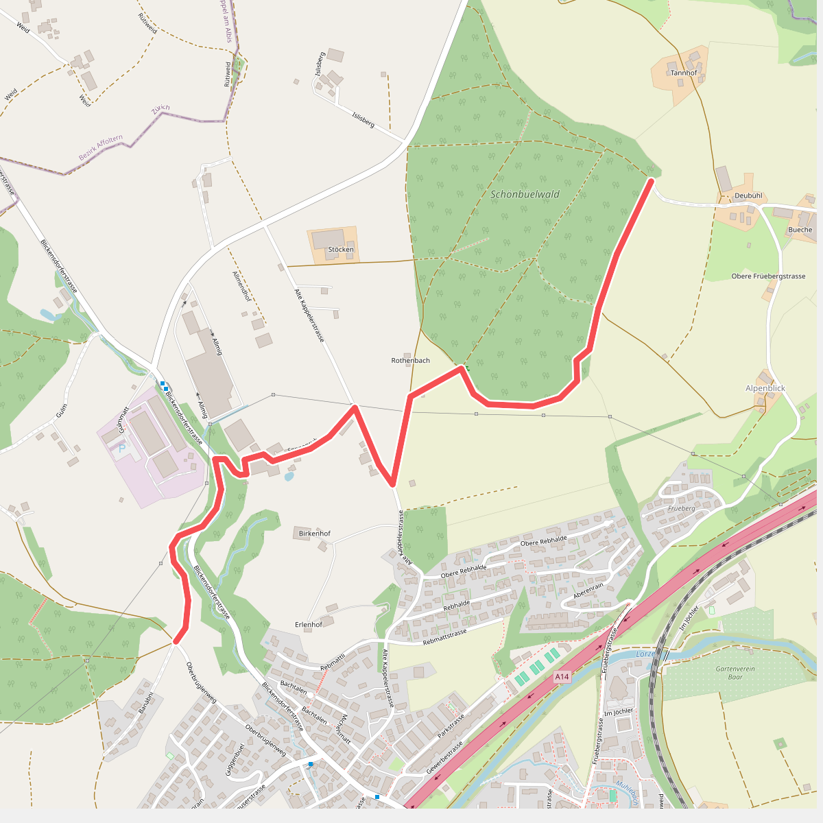
#11. Banäbni - Schönbüelwald
Baar
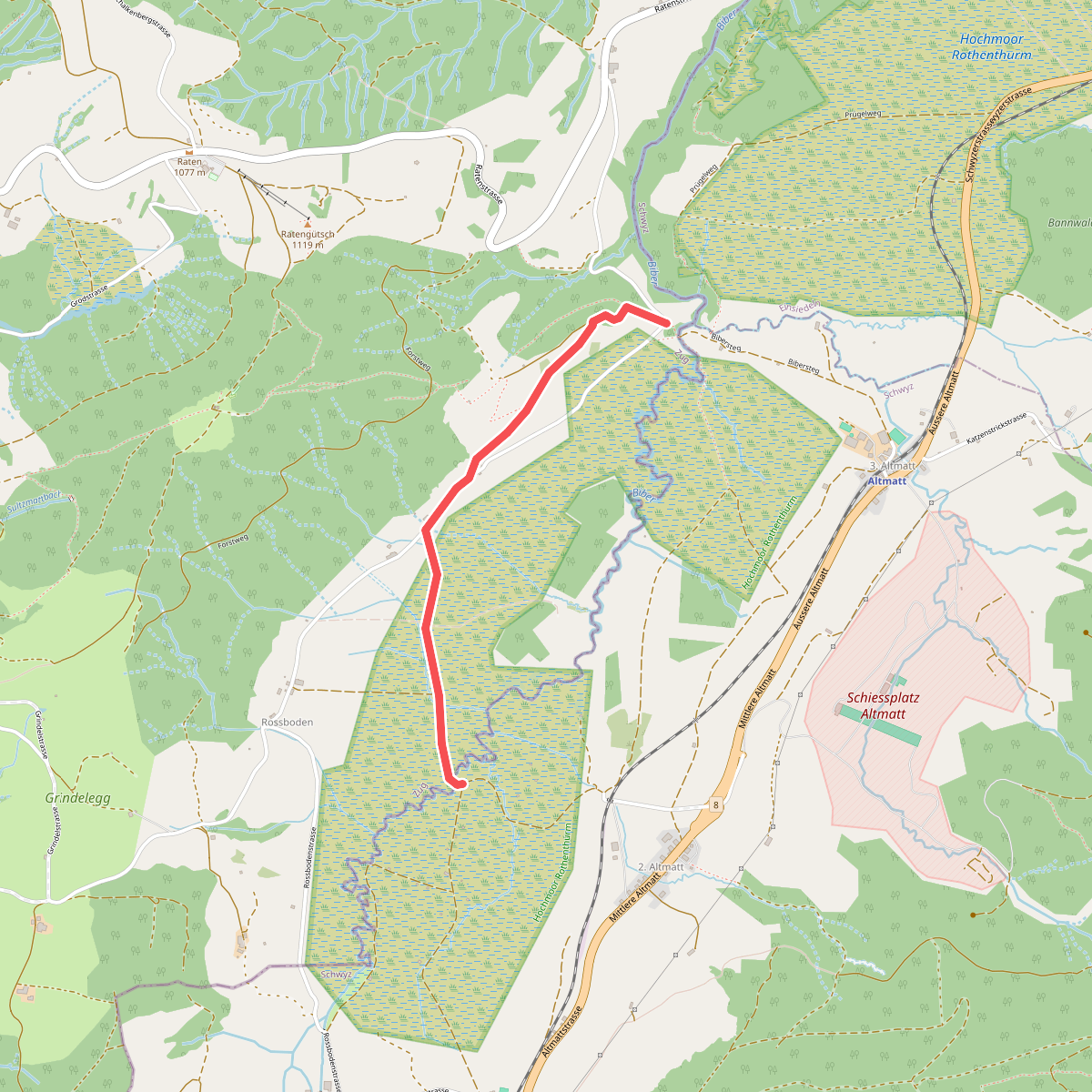
#12. Bibersteg - Bubrugg
Oberägeri,Rothenthurm



