The best hiking routes in Vas
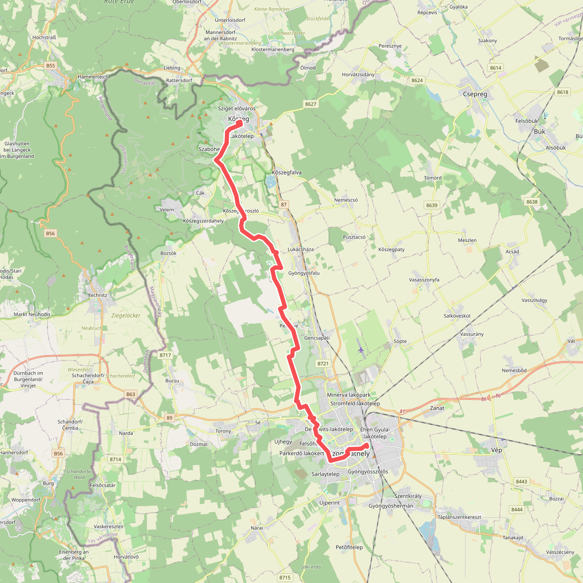
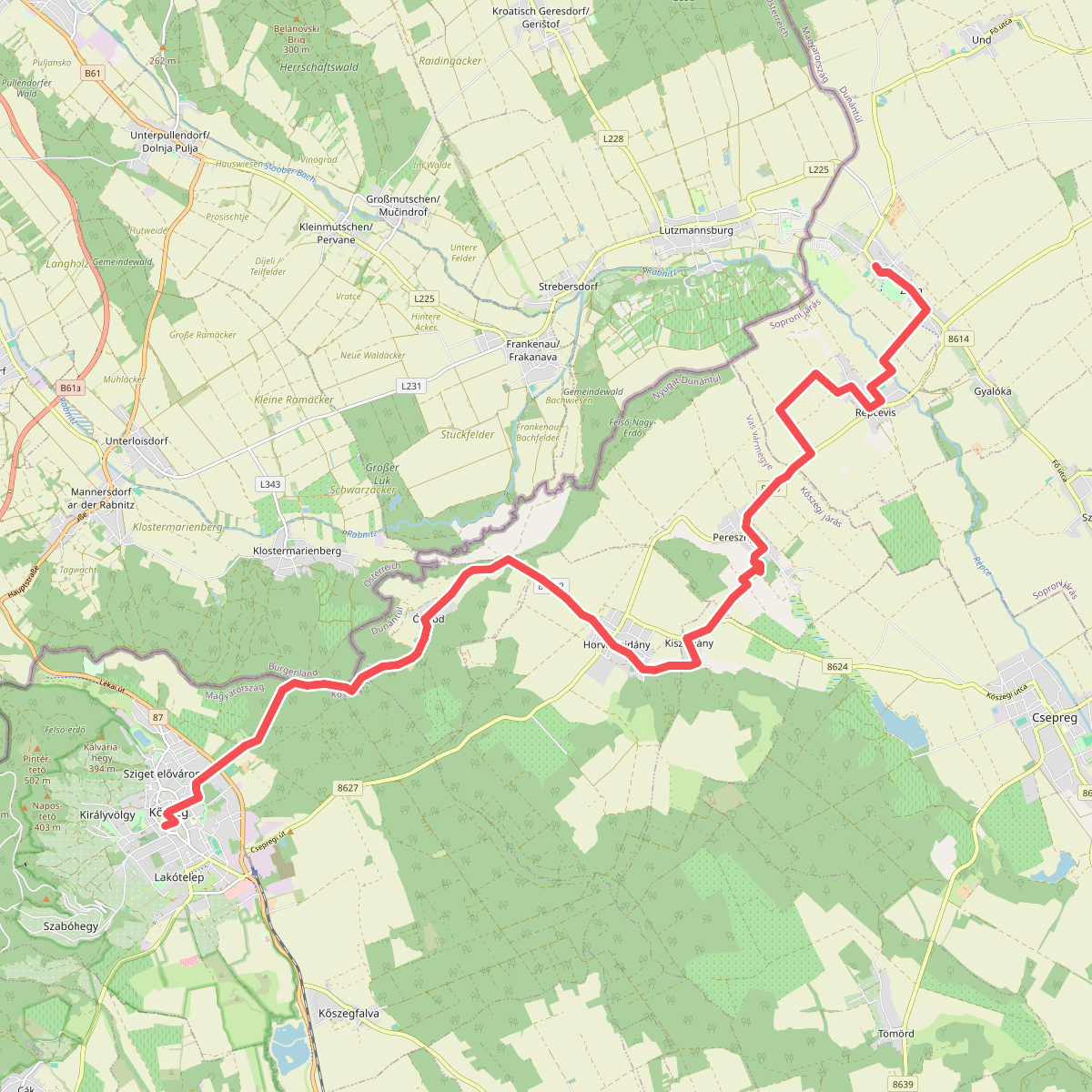
Discover the best walks in Vas. 2 routes on the map, with descriptions, photos and GPX.
About Vas
Vas borders Austria and Slovenia, offering a landscape of low, forested hills and wide river valleys rather than high peaks or dramatic gorges. The terrain is defined by its transition from the Alpine foothills to the flat Pannonian Basin, meaning walkers will find gentle, rolling slopes and clay soils that can become slick after wet weather. Deciduous forests of oak and beech dominate the higher ground, while the lower valleys are shaped by traditional, small-scale farming.
Read more
About Vas
Vas borders Austria and Slovenia, offering a landscape of low, forested hills and wide river valleys rather than high peaks or dramatic gorges. The terrain is defined by its transition from the Alpine foothills to the flat Pannonian Basin, meaning walkers will find gentle, rolling slopes and clay soils that can become slick after wet weather. Deciduous forests of oak and beech dominate the higher ground, while the lower valleys are shaped by traditional, small-scale farming.
Read moreVas borders Austria and Slovenia, offering a landscape of low, forested hills and wide river valleys rather than high peaks or dramatic gorges. The terrain is defined by its transition from the Alpine foothills to the flat Pannonian Basin, meaning walkers will find gentle, rolling slopes and clay soils that can become slick after wet weather. Deciduous forests of oak and beech dominate the higher ground, while the lower valleys are shaped by traditional, small-scale farming.
For those seeking deep woodland and traditional rural architecture, the Őrségi Nemzeti Park in the southwest of the county is the primary destination. Here, the paths run through dense pine and birch forests, occasionally opening up into wide clearings where historic timber-framed homesteads still stand. The underfoot conditions are mostly dirt tracks and grassy forest paths, which feel remote but are well-marked.
In contrast, walking outside the national park closer to the Rába river valley brings you to a flatter, more open landscape. These areas feature gravel tracks running alongside agricultural fields and floodplains, where the walking is level and straightforward. While the national park attracts more visitors to its designated heritage sites, these river corridors offer a quieter, more utilitarian network of paths used mainly by local farmers.
Nature areas in Vas
Zoom or pan for more routes