The best hiking routes in Valais/Wallis
Discover the best walks in Valais/Wallis. 815 routes on the map, with descriptions, photos and GPX.
About Valais/Wallis
Valais is defined by a single deep trench where the young Rhône flows between two massive walls of rock. To choose a walk here, you must first decide between the sunny, dry northern slopes and the cold, shaded southern valleys that lead toward the highest glaciers. The valley floor itself is heavily cultivated with orchards and vineyards, meaning your walks will almost always begin with a steep climb through pine forests or along narrow irrigation channels to reach the open pastures above.
Read more
About Valais/Wallis
Valais is defined by a single deep trench where the young Rhône flows between two massive walls of rock. To choose a walk here, you must first decide between the sunny, dry northern slopes and the cold, shaded southern valleys that lead toward the highest glaciers. The valley floor itself is heavily cultivated with orchards and vineyards, meaning your walks will almost always begin with a steep climb through pine forests or along narrow irrigation channels to reach the open pastures above.
Read moreValais is defined by a single deep trench where the young Rhône flows between two massive walls of rock. To choose a walk here, you must first decide between the sunny, dry northern slopes and the cold, shaded southern valleys that lead toward the highest glaciers. The valley floor itself is heavily cultivated with orchards and vineyards, meaning your walks will almost always begin with a steep climb through pine forests or along narrow irrigation channels to reach the open pastures above.
On the northern side of the valley, the paths often follow these historic water channels, known locally as bisses, which are cut directly into the rock faces. Walking here means navigating narrow, flat dirt paths alongside flowing water, with views across the main valley. In contrast, entering the lateral valleys to the south brings you onto rougher, scree-covered trails where the sound of rushing meltwater replaces the quiet trickle of the canals. Here, the ground underfoot changes to coarse granite sand and loose slate as you approach the moraines.
By October, the larch forests on the higher slopes turn a bright yellow, marking a sharp contrast against the grey rock and white ice. This is a high-altitude landscape where timberlines are distinct and the transition from larch forest to alpine meadow happens over just a few hundred metres of climbing. While the famous resort trails near the Matterhorn attract steady foot traffic, the steep, unglaciated side valleys offer much quieter routes over rugged passes.
Zoom or pan for more routes
Hiking routes in Valais/Wallis (815)
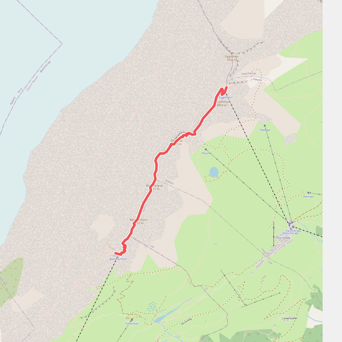
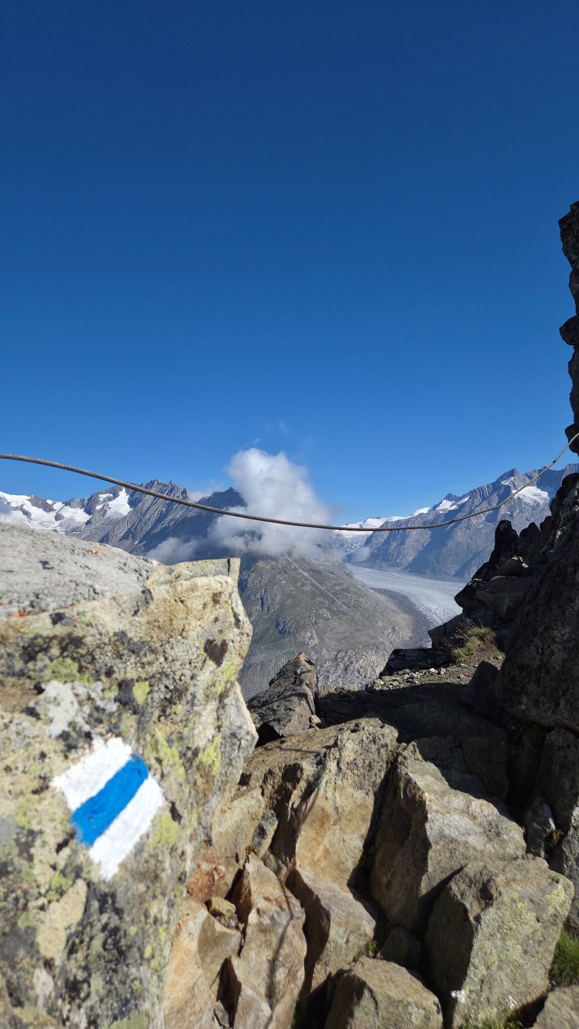
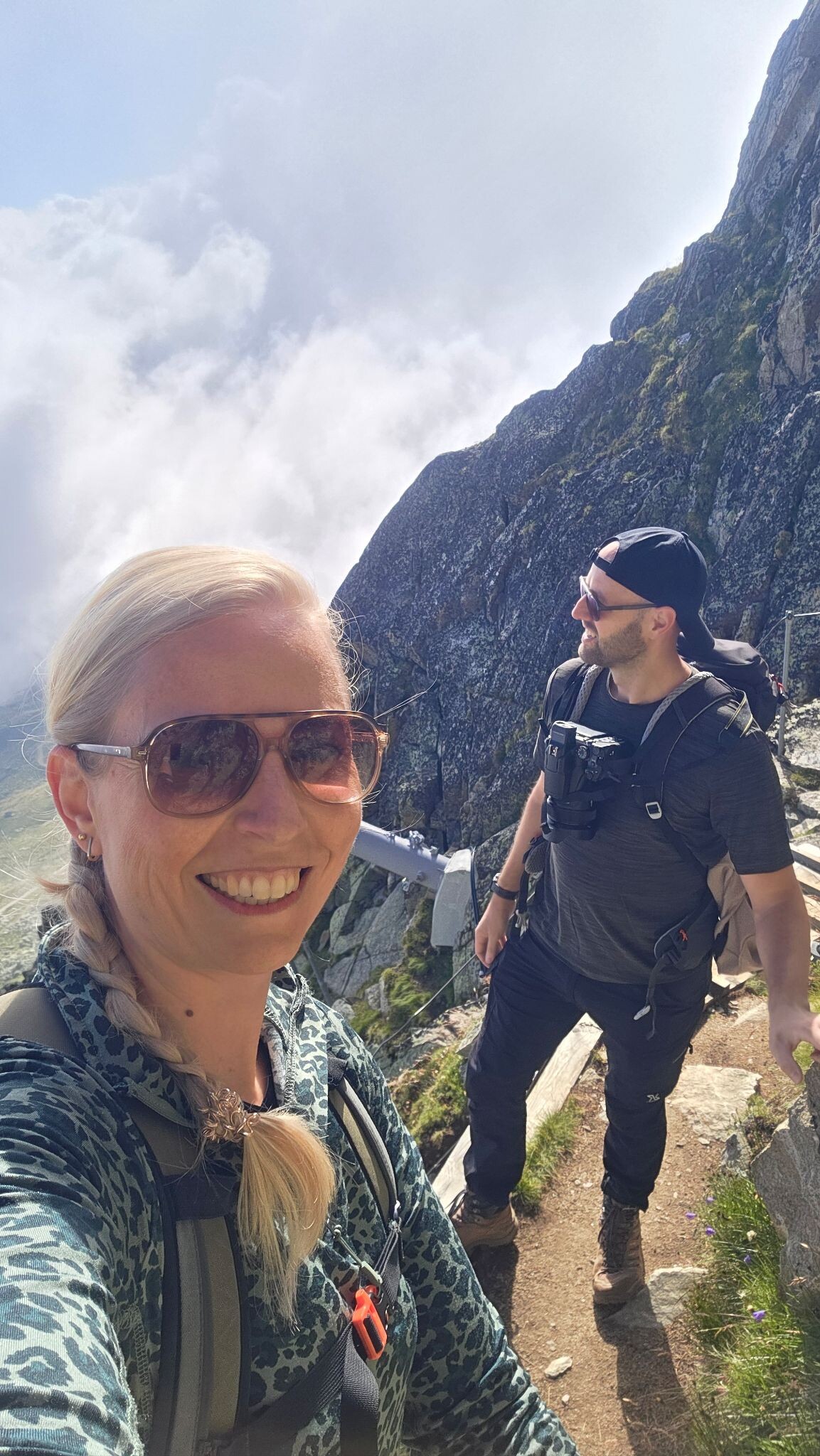
#1. Alpine hike UNESCO ridge trail from Bettmerhorn to Eggishorn
Startpunt is het bergstation van de kabelbaan Bettmerhorn. Vanaf daar bereik je via een loopbrug in ongeveer 30 minuten de top van het Bettm...
Bettmeralp,Fiesch
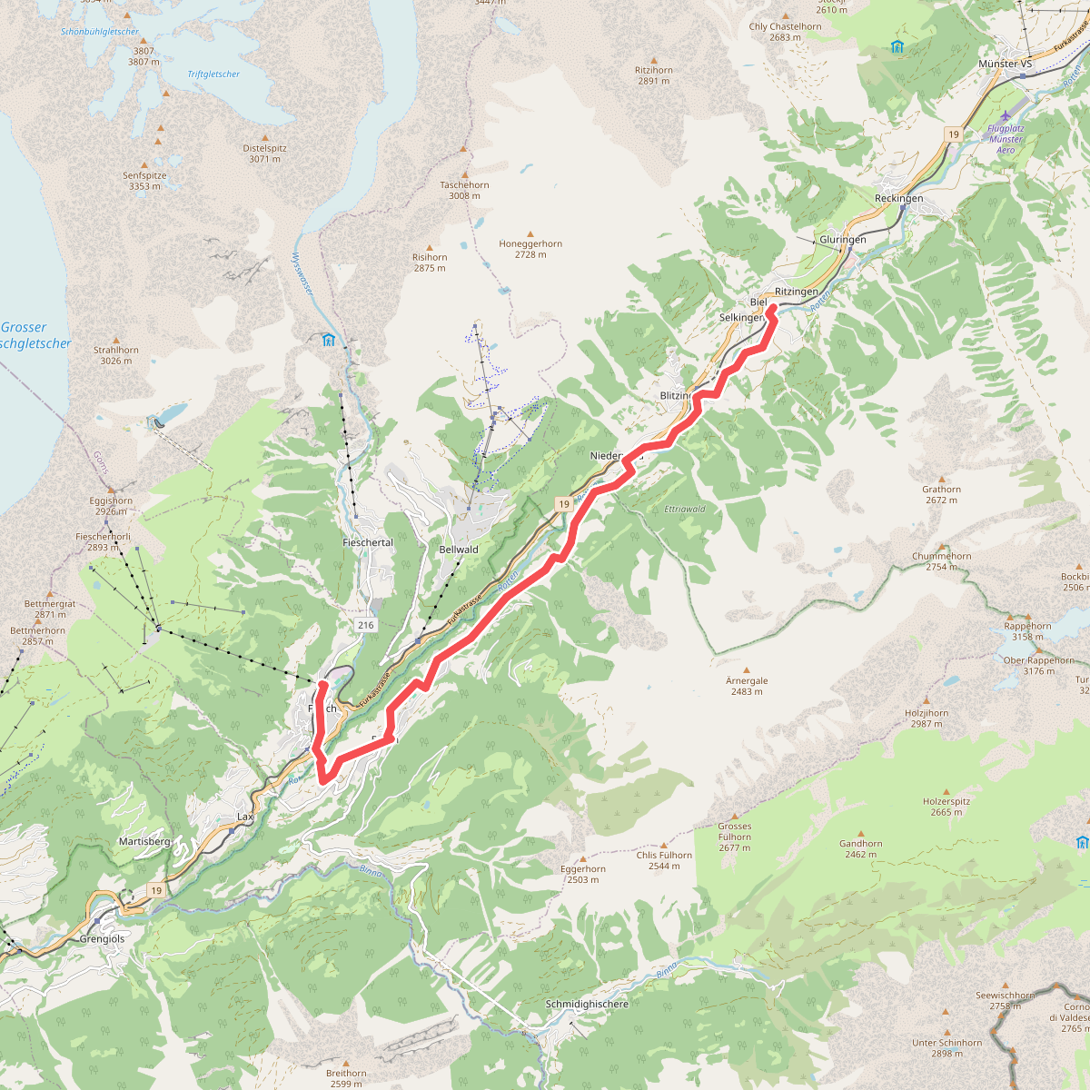
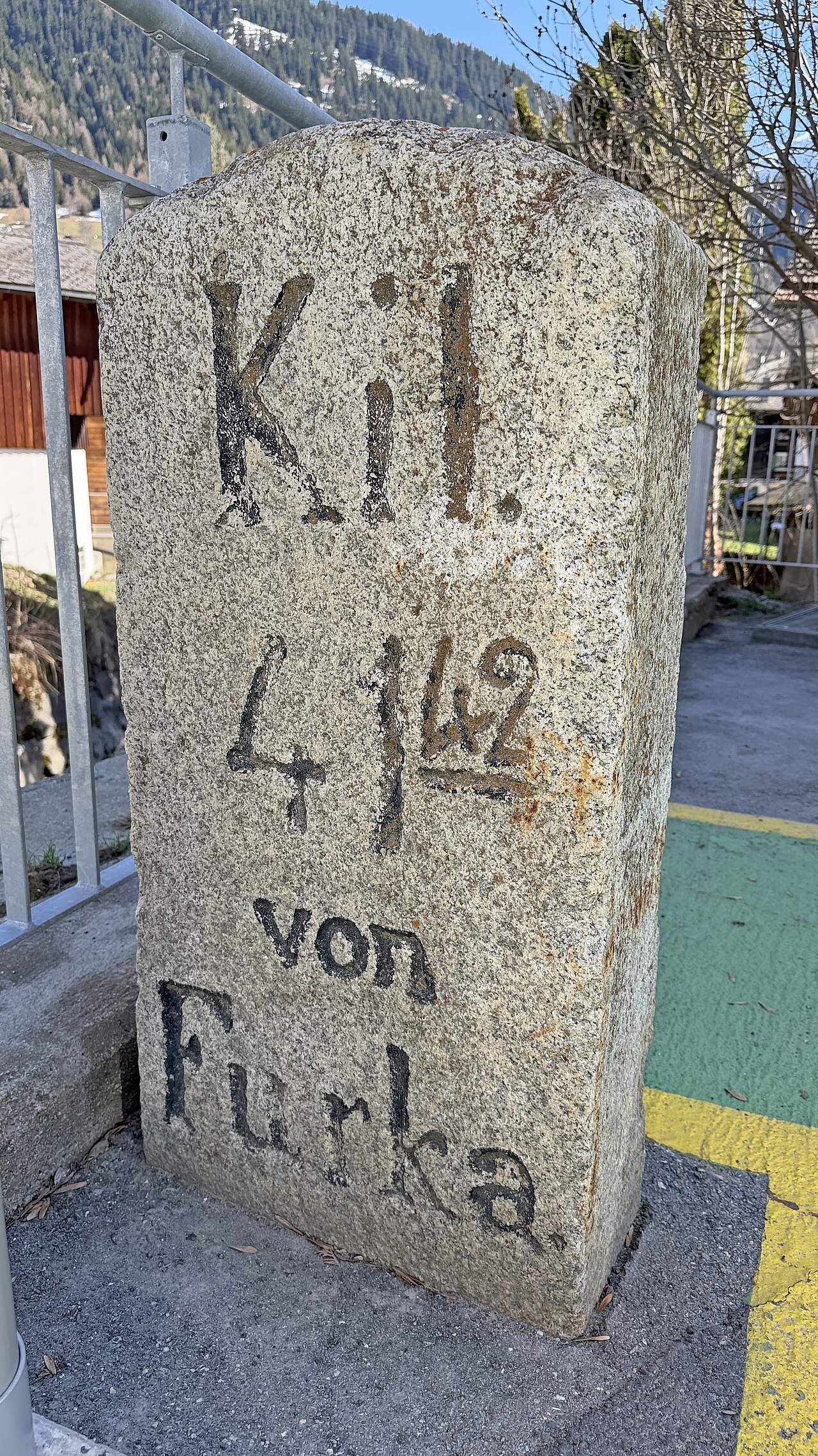
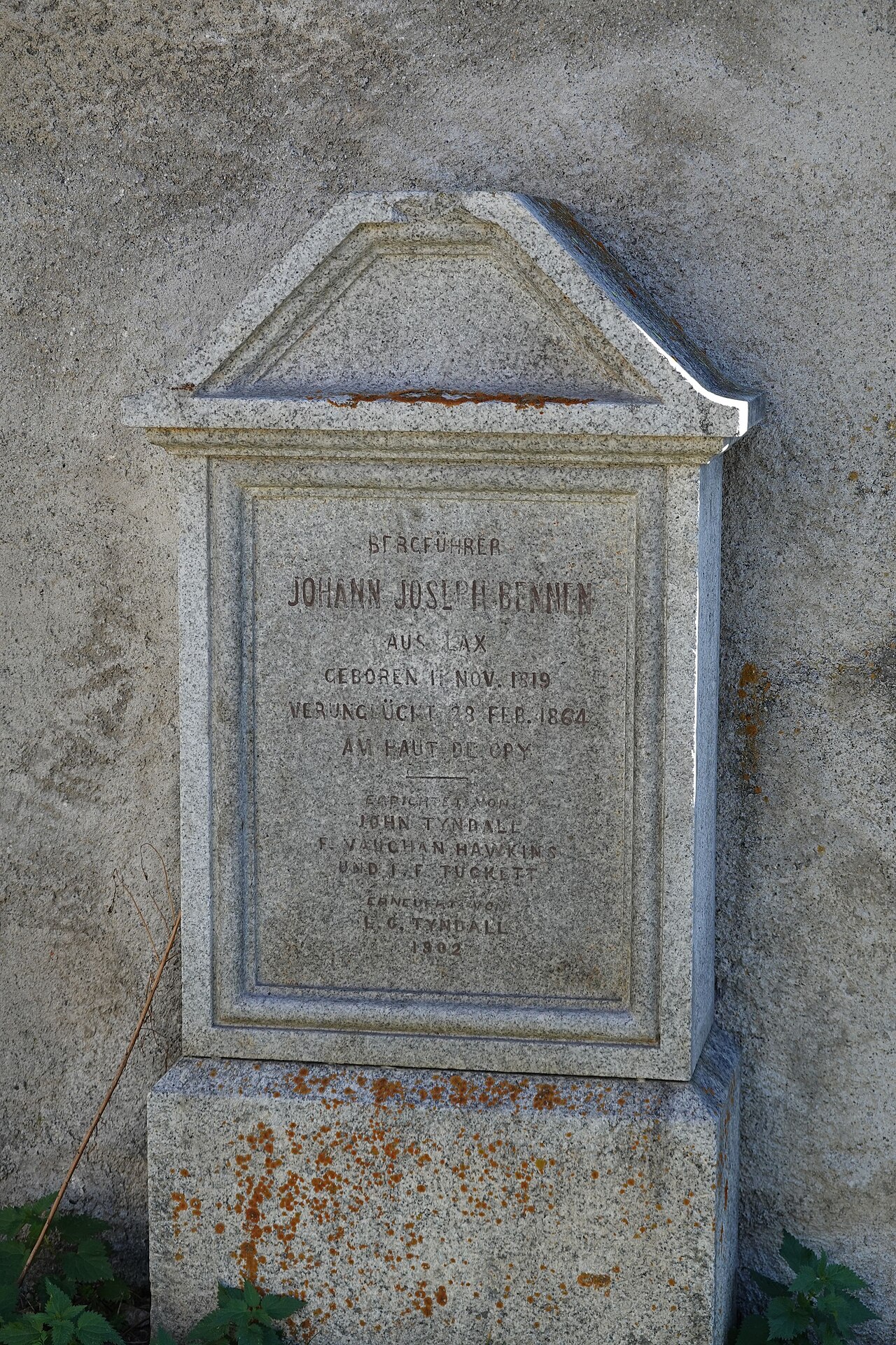
#2. Biel (Goms) naar Fiesch
Goms,Ernen,Fiesch
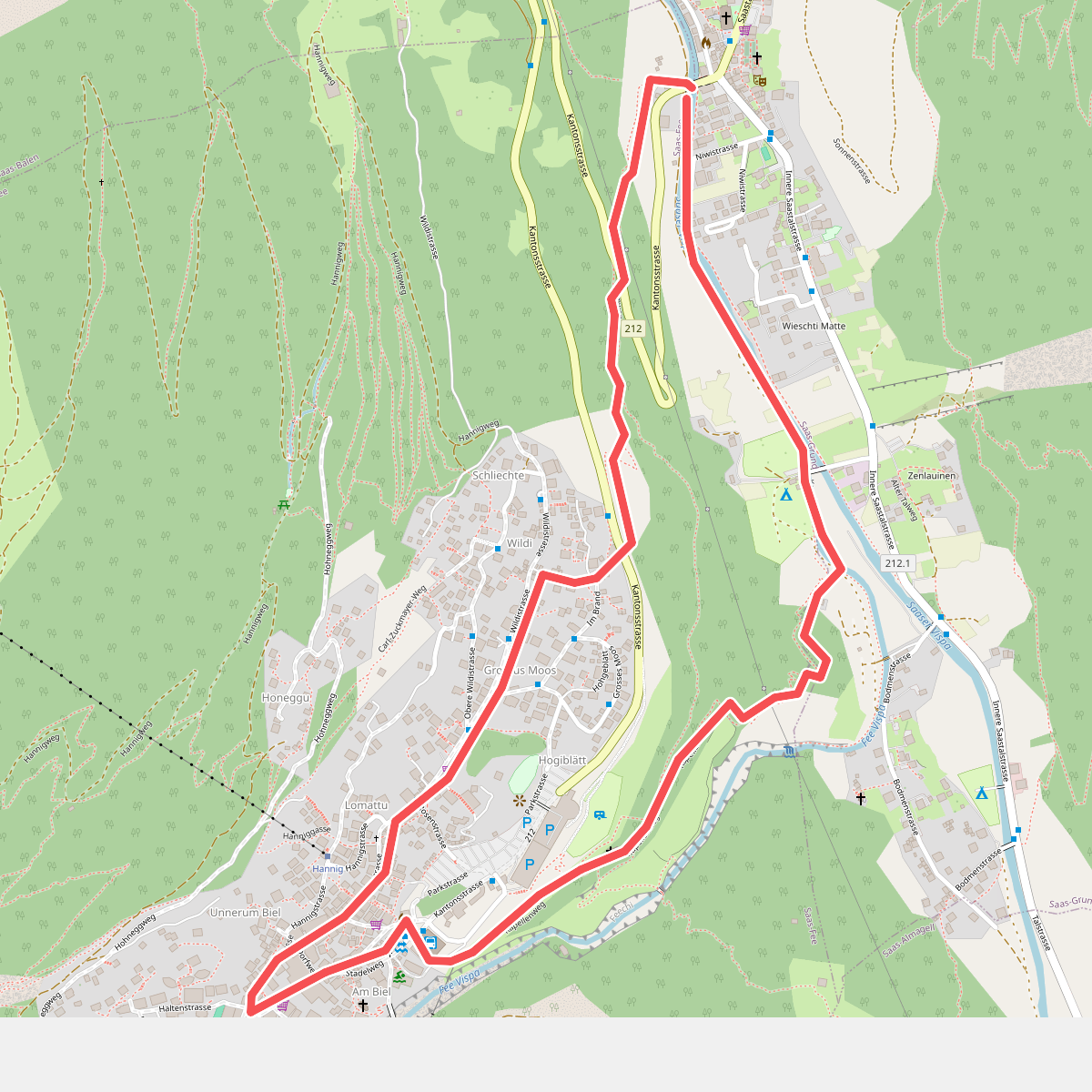
#3. Kapellenweg Saas Fee
Saas-Fee,Saas-Grund
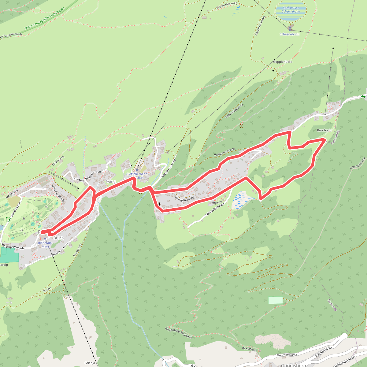
#4. Rondwandeling Riederalp
Riederalp
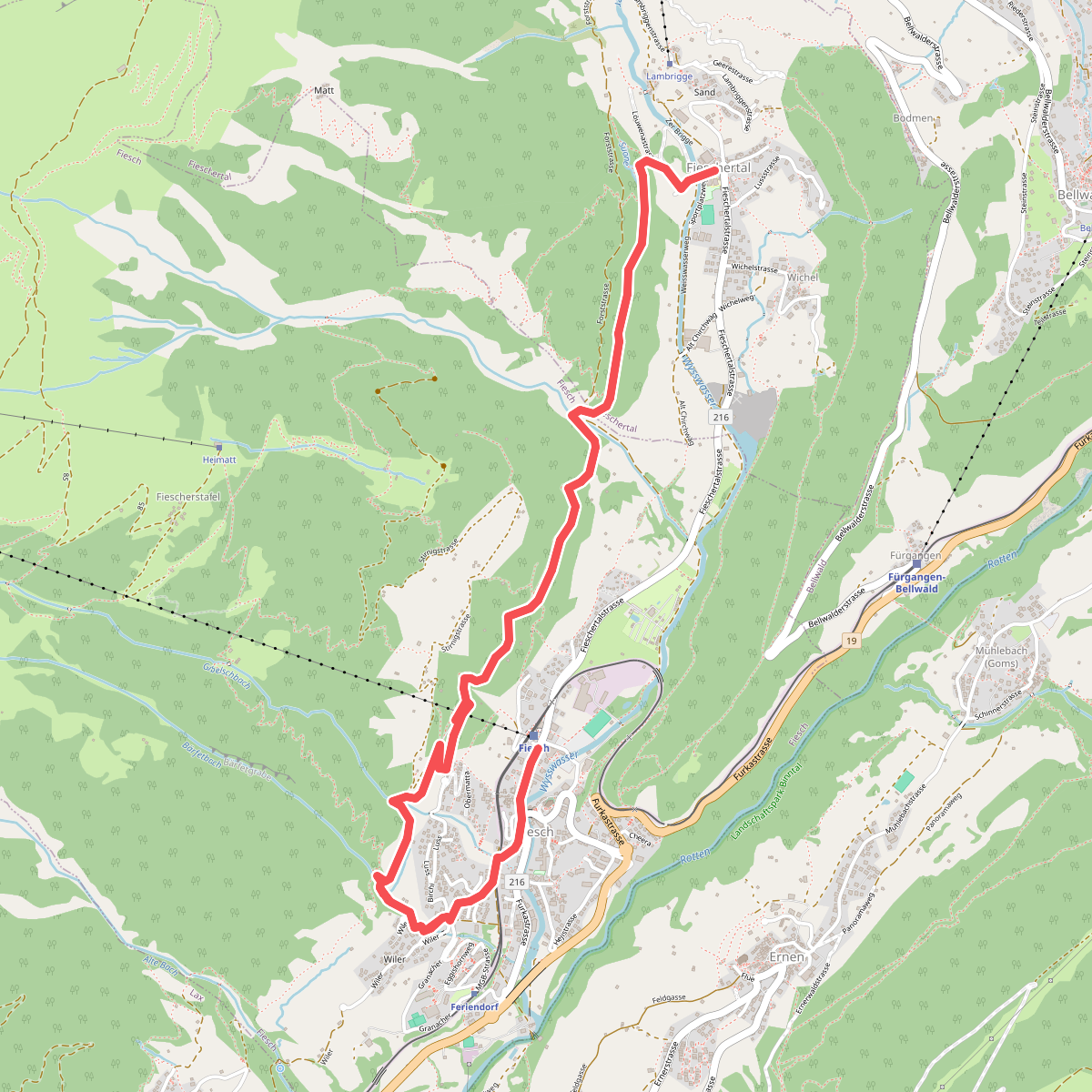
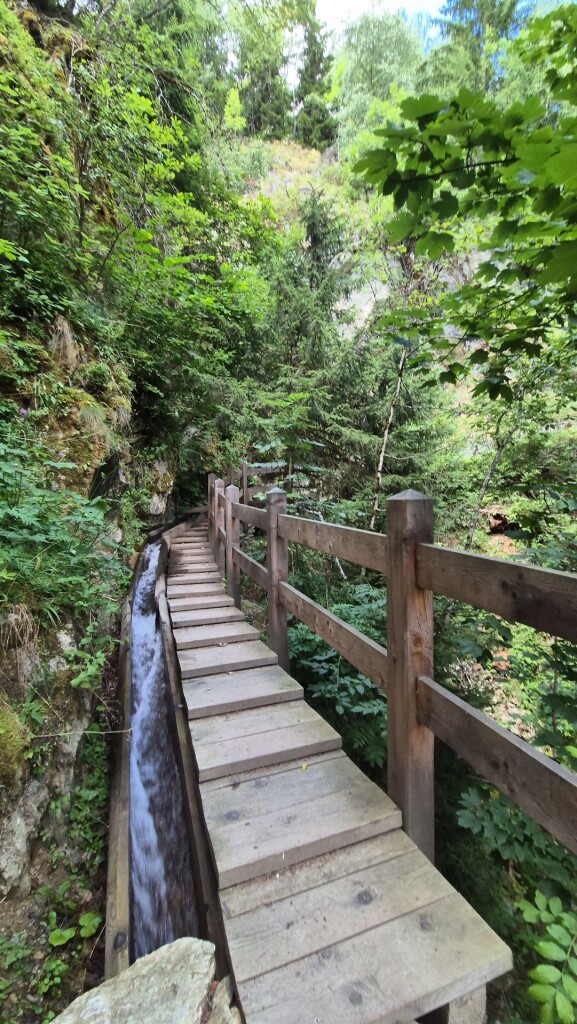
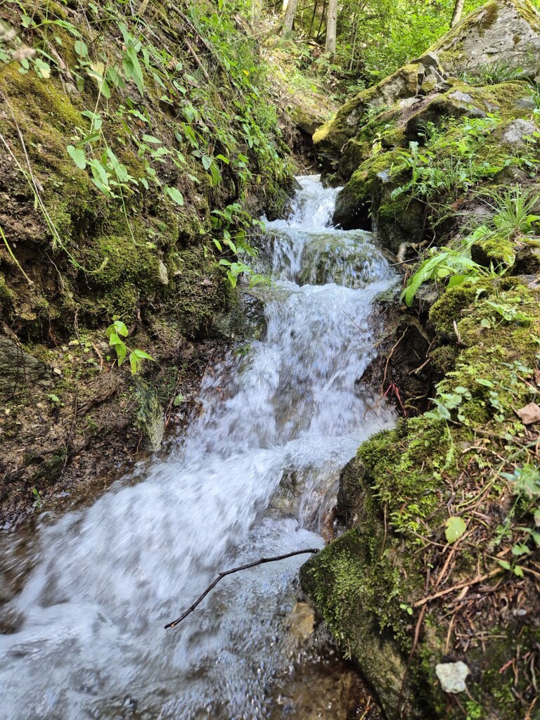
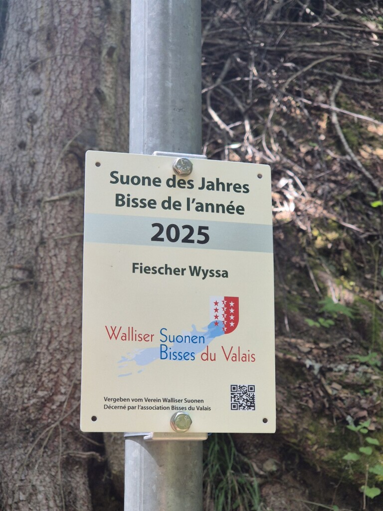
#5. Suonenweg Fiescher Wyssa
Fieschertal,Fiesch
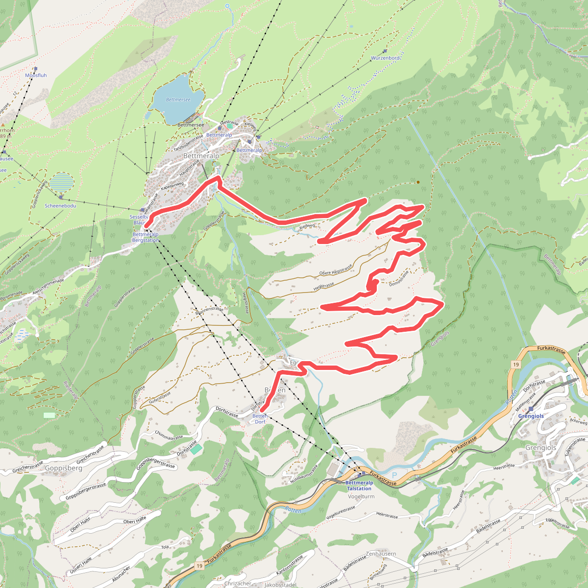
#6. Wandeling Bettmeralp naar Betten
Bettmeralp
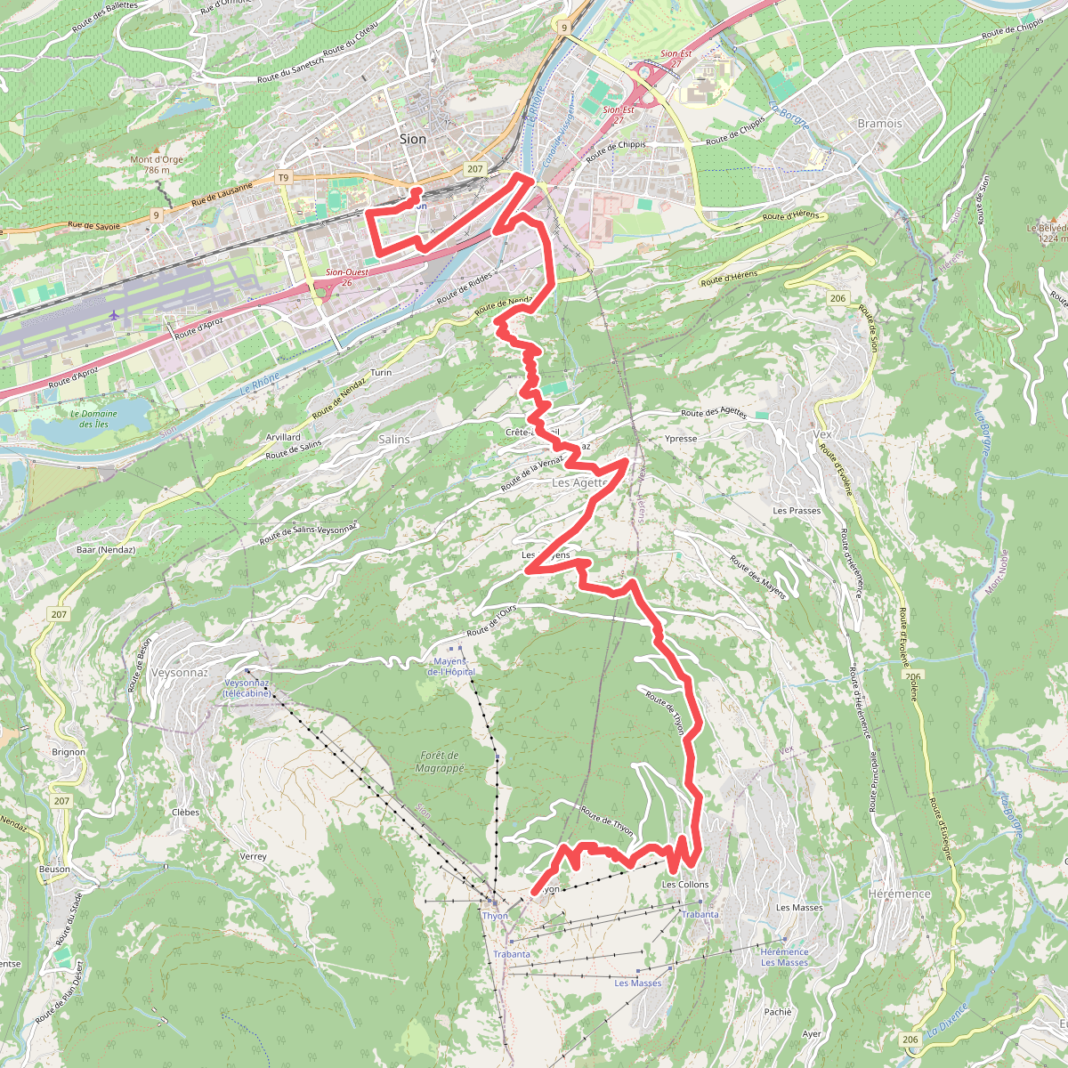
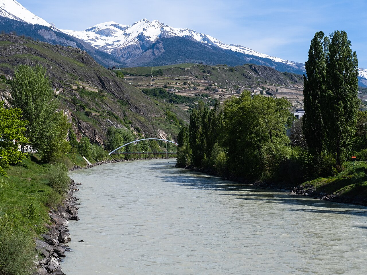
#7. 00-Tour pédestre du Val d'Hérens
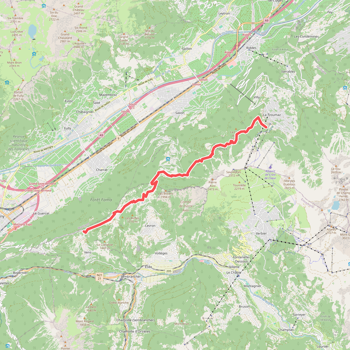
#8. 01-Chemin des Bisses
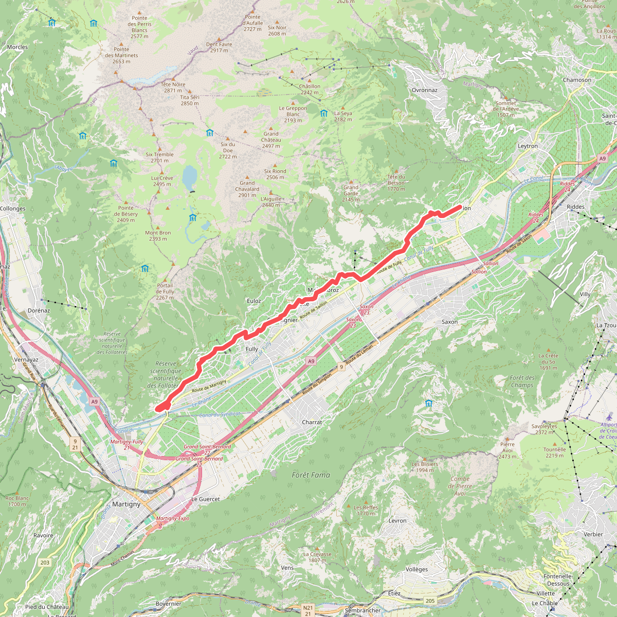
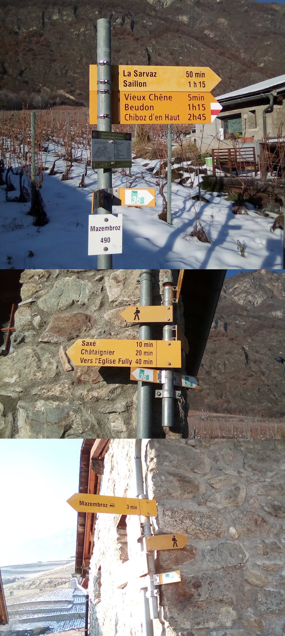
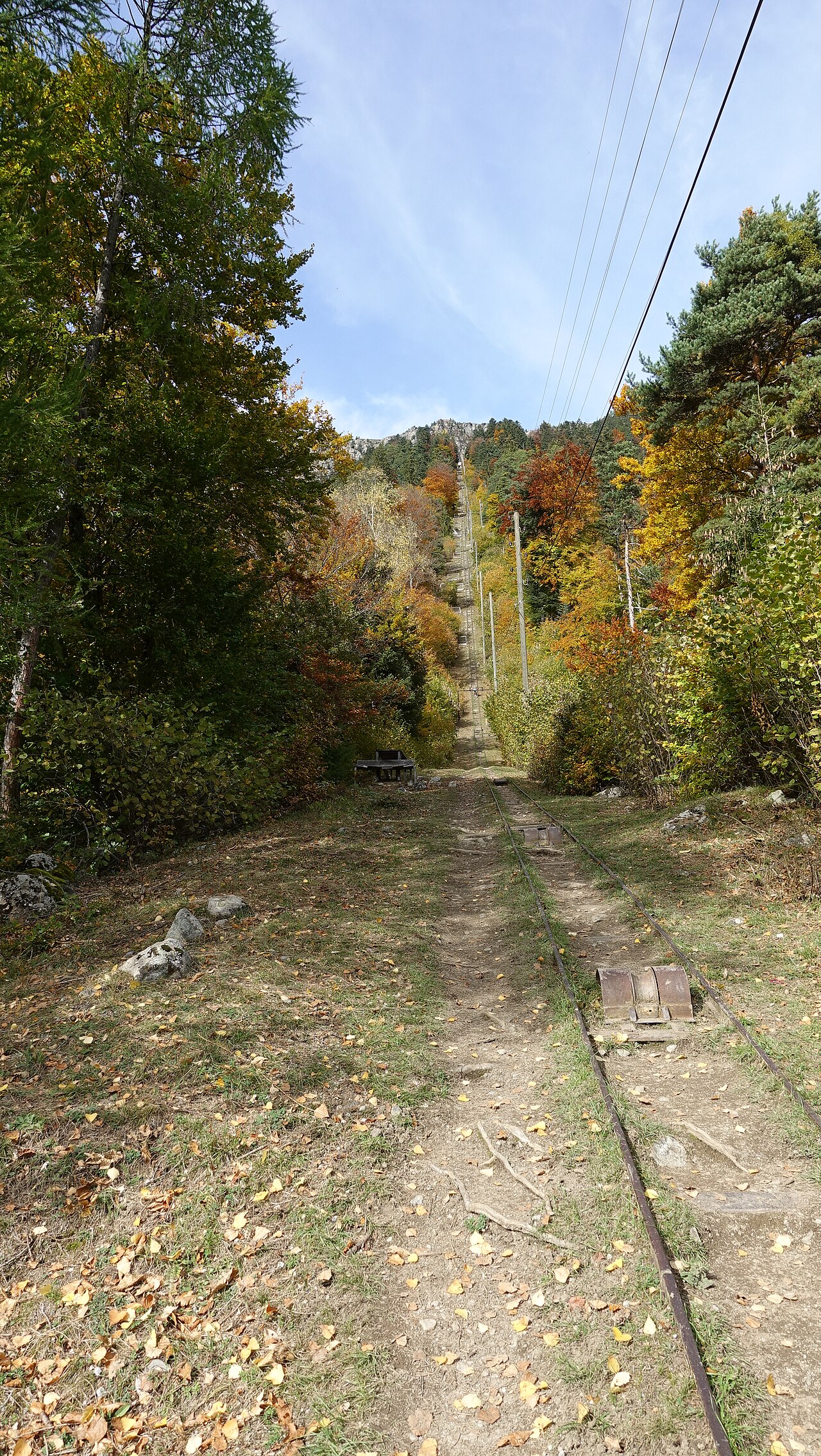
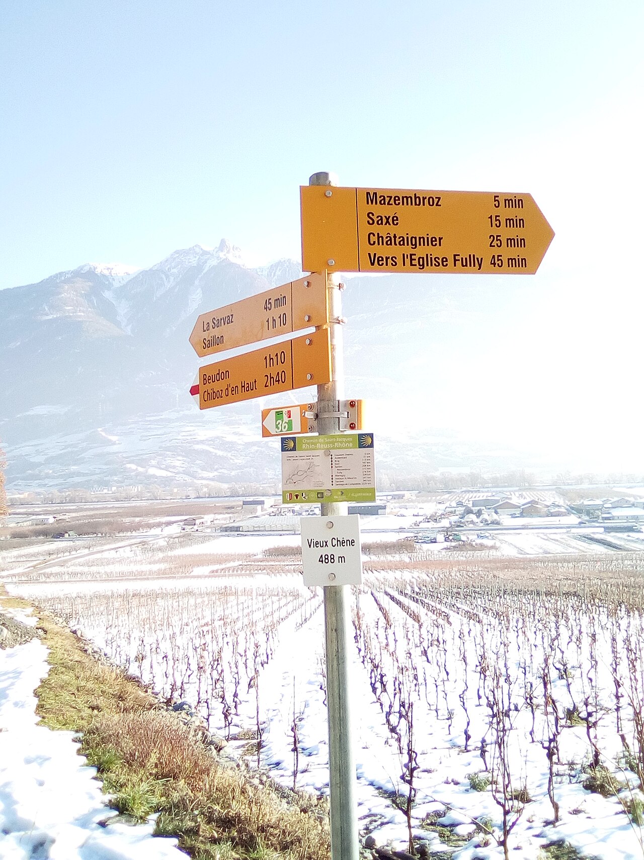
#9. 01-Chemin du Vignoble
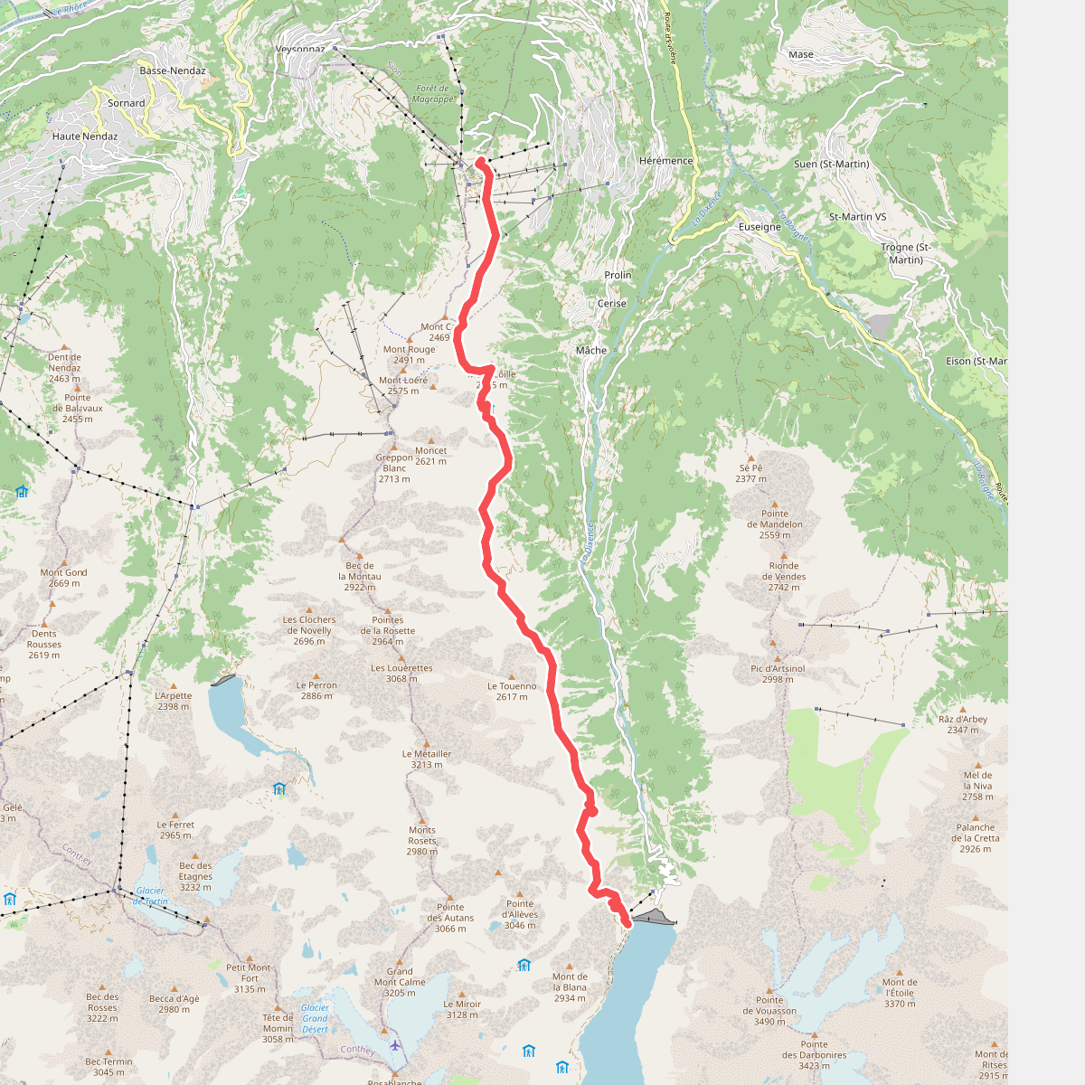
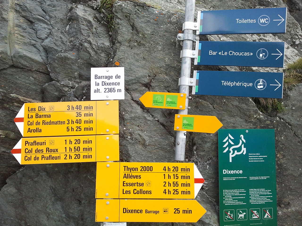
#10. 01-Tour pédestre du Val d'Hérens
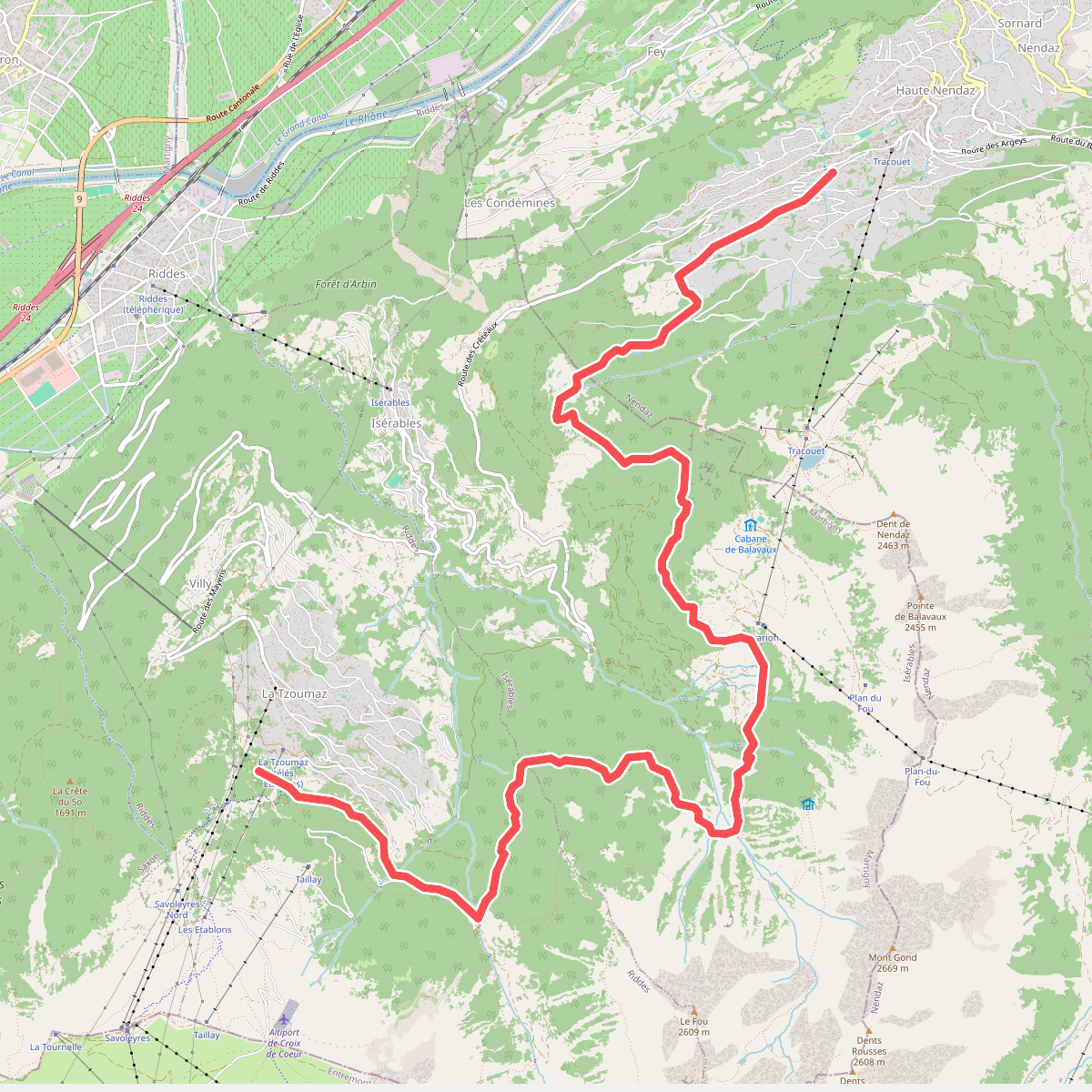
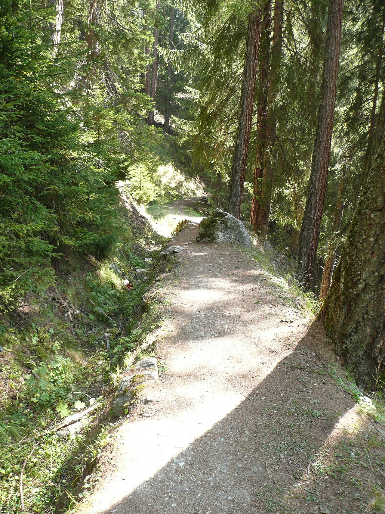
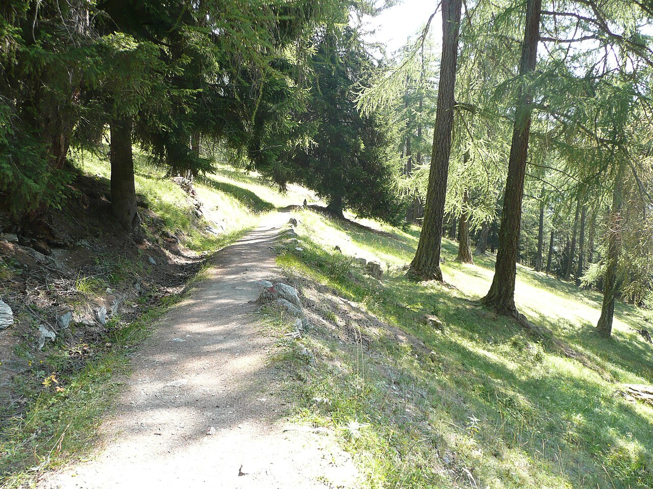
#11. 02-Chemin des Bisses