

The best hiking routes in Upper Austria
Discover the best walks in Upper Austria. 69 routes on the map, with descriptions, photos and GPX.
About Upper Austria
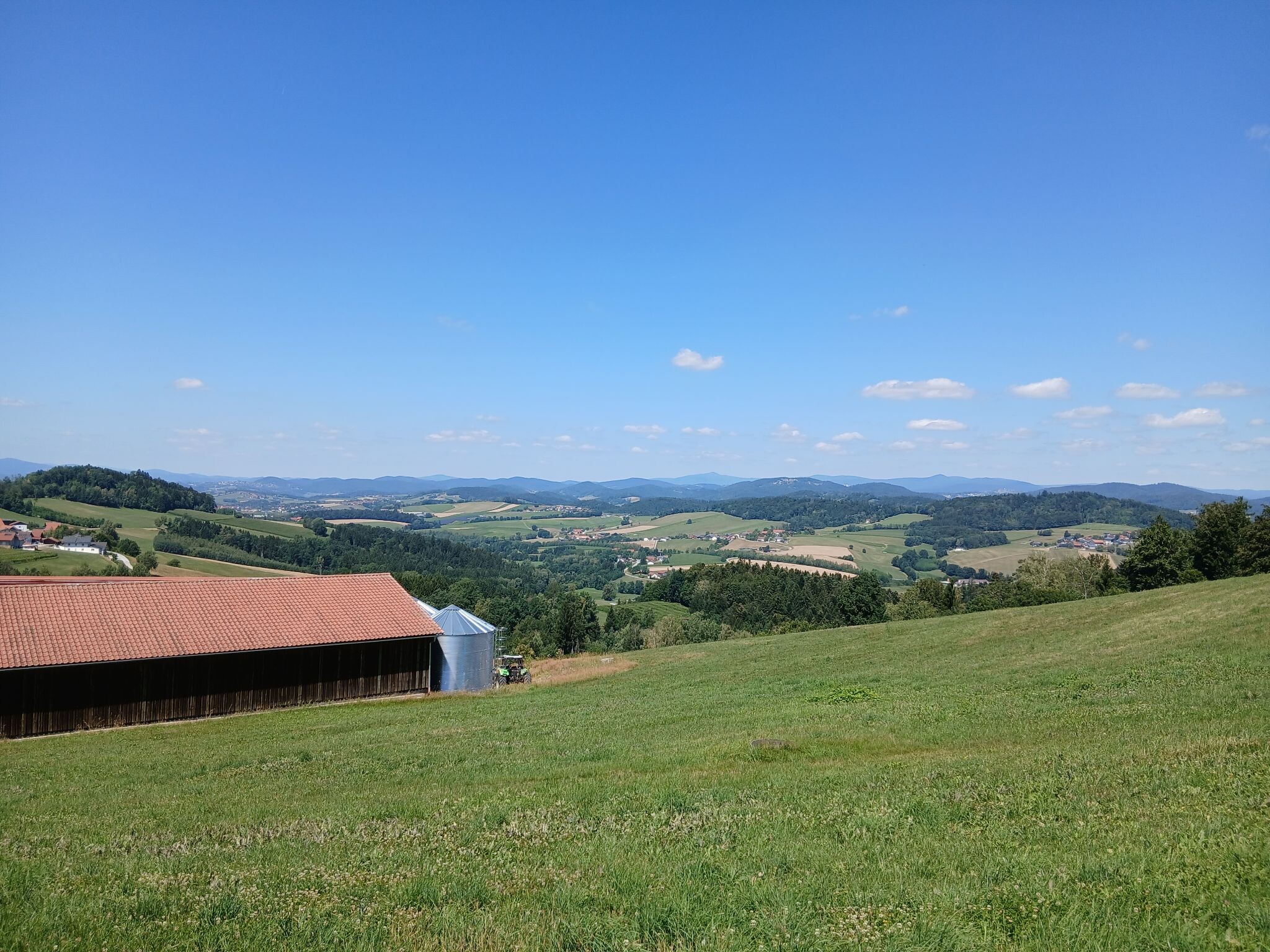
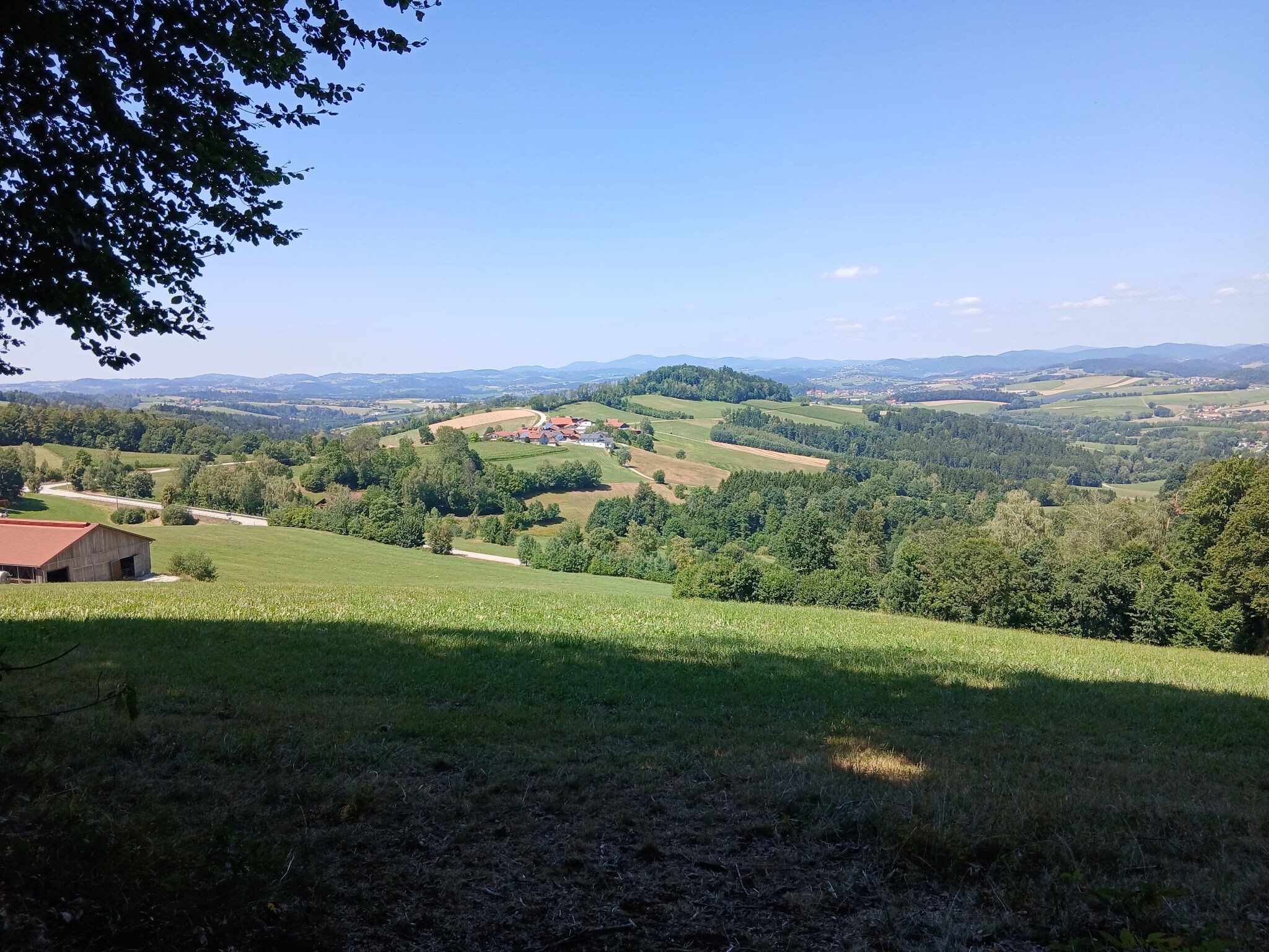
Upper Austria offers a sharp division between the flat, agricultural plains of the north and the limestone massifs of the south. Walkers must choose between the dense, rolling woodlands along the Czech border and the steep, rocky terrain of the alpine edge. Underfoot, the northern forests feature soft pine needle paths and damp peat, while the southern limestone zones present hard, gravelly tracks and exposed karst rock.
Read more
About Upper Austria
Upper Austria offers a sharp division between the flat, agricultural plains of the north and the limestone massifs of the south. Walkers must choose between the dense, rolling woodlands along the Czech border and the steep, rocky terrain of the alpine edge. Underfoot, the northern forests feature soft pine needle paths and damp peat, while the southern limestone zones present hard, gravelly tracks and exposed karst rock.
Read moreUpper Austria offers a sharp division between the flat, agricultural plains of the north and the limestone massifs of the south. Walkers must choose between the dense, rolling woodlands along the Czech border and the steep, rocky terrain of the alpine edge. Underfoot, the northern forests feature soft pine needle paths and damp peat, while the southern limestone zones present hard, gravelly tracks and exposed karst rock.
For a forested, undulating walk, the northern borderlands connect with Národní park Šumava, where the trails wind through dark spruce woods and peat bogs. In contrast, the southern limestone Alps demand more effort. Nationalpark Kalkalpen protects a vast area of dense beech forests and deep ravines, where you walk on gravel forestry roads and narrow, rocky paths. Nearby, the Totes Gebirge mit Altausseer See offers high-altitude karst plateaus where the soil thins out entirely, leaving walkers on bare, white limestone.
This landscape is shaped by its geology and forestry. In the north, the gentle granite hills are covered in managed timber forests, meaning you will often pass active logging tracks. In the south, the limestone has been carved by water, creating dry valleys where surface water disappears into sinkholes, leaving the high paths dry and exposed. June is a notable month to visit the alpine meadows of the southern parks, as the snow has cleared to reveal alpine wildflowers directly beside the stony paths.
Nature areas in Upper Austria
Zoom or pan for more routes
Hiking routes in Upper Austria (69)
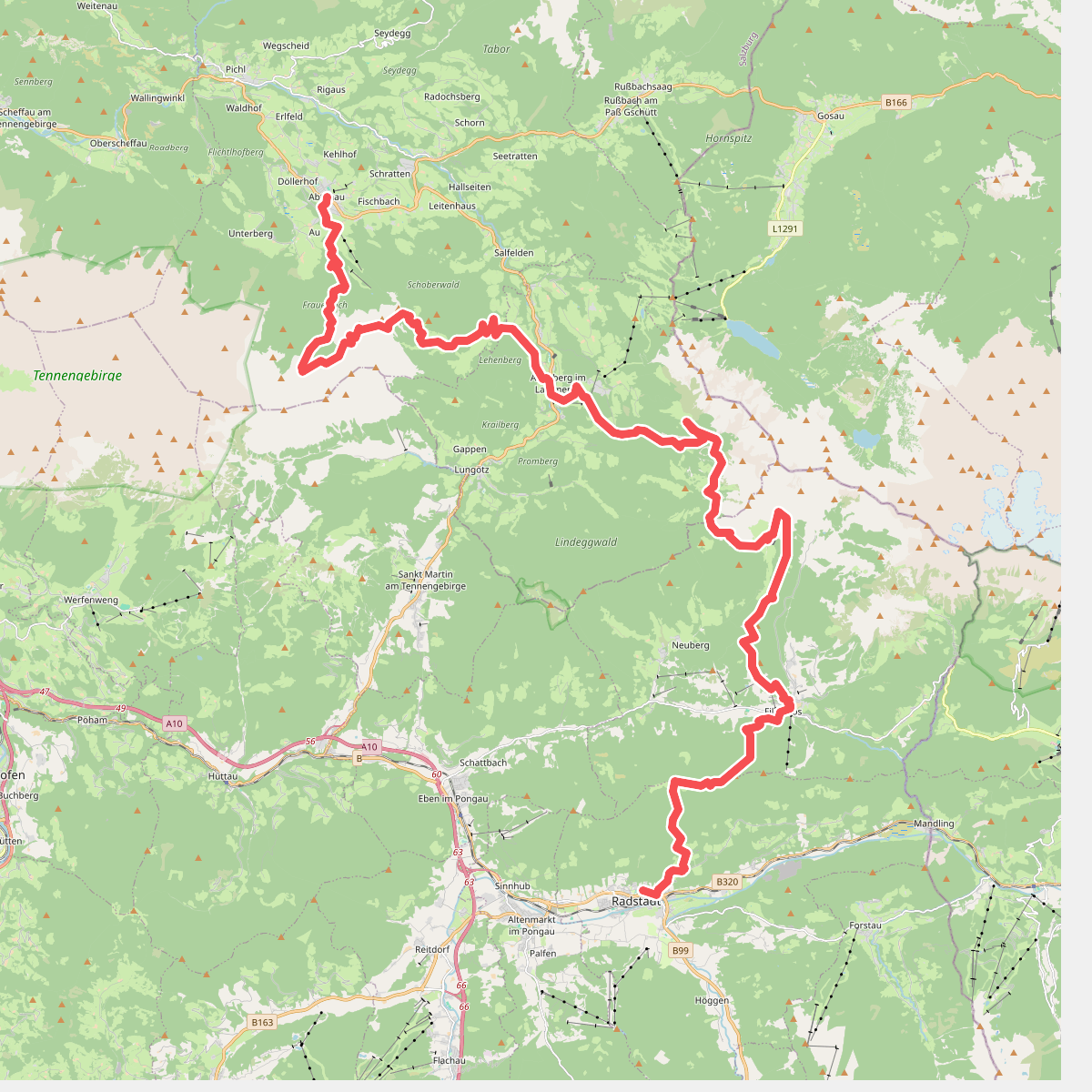
#1. Kalkbergen Oost - Arnoweg · Arnoweg etappe 7
Radstadt,Annaberg-Lungötz,Abtenau
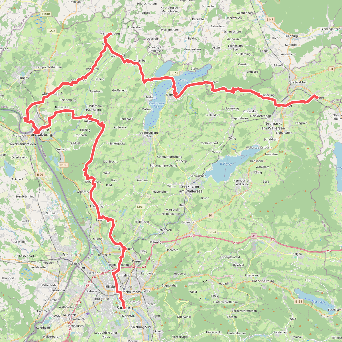
#2. Alpenvorland – Arnoweg · Arnoweg etappe 9
Straßwalchen,Köstendorf,Schleedorf,Lochen am See,Mattsee,Seeham,Berndorf bei Salzburg,Nußdorf am Haunsberg,Dorfbeuern,Lamprechtshausen,Oberndorf bei Salzburg,Laufen,Göming,Obertrum am See,Anthering,Bergheim,Salzburg
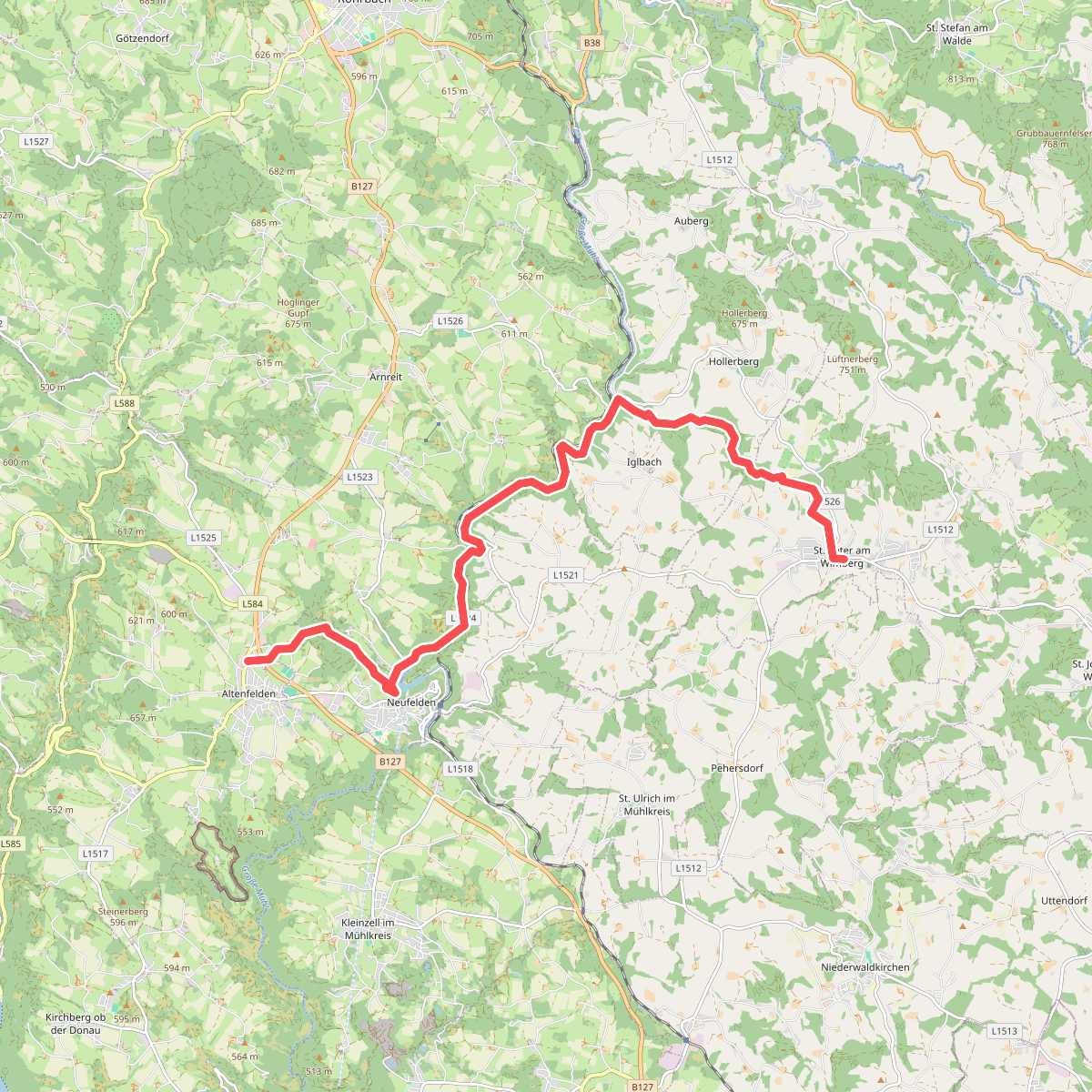
#3. Altenfelden - Sankt Peter am Wimberg
Altenfelden,Neufelden,Auberg,St. Peter am Wimberg
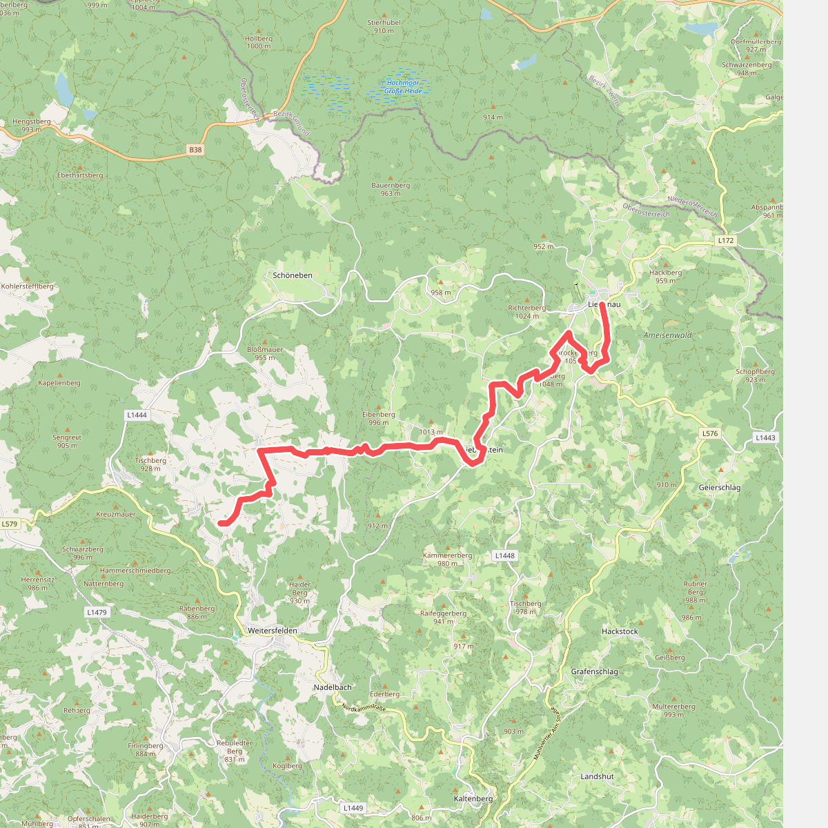
#4. Eipoldschlag - Liebenau
Weitersfelden,Liebenau
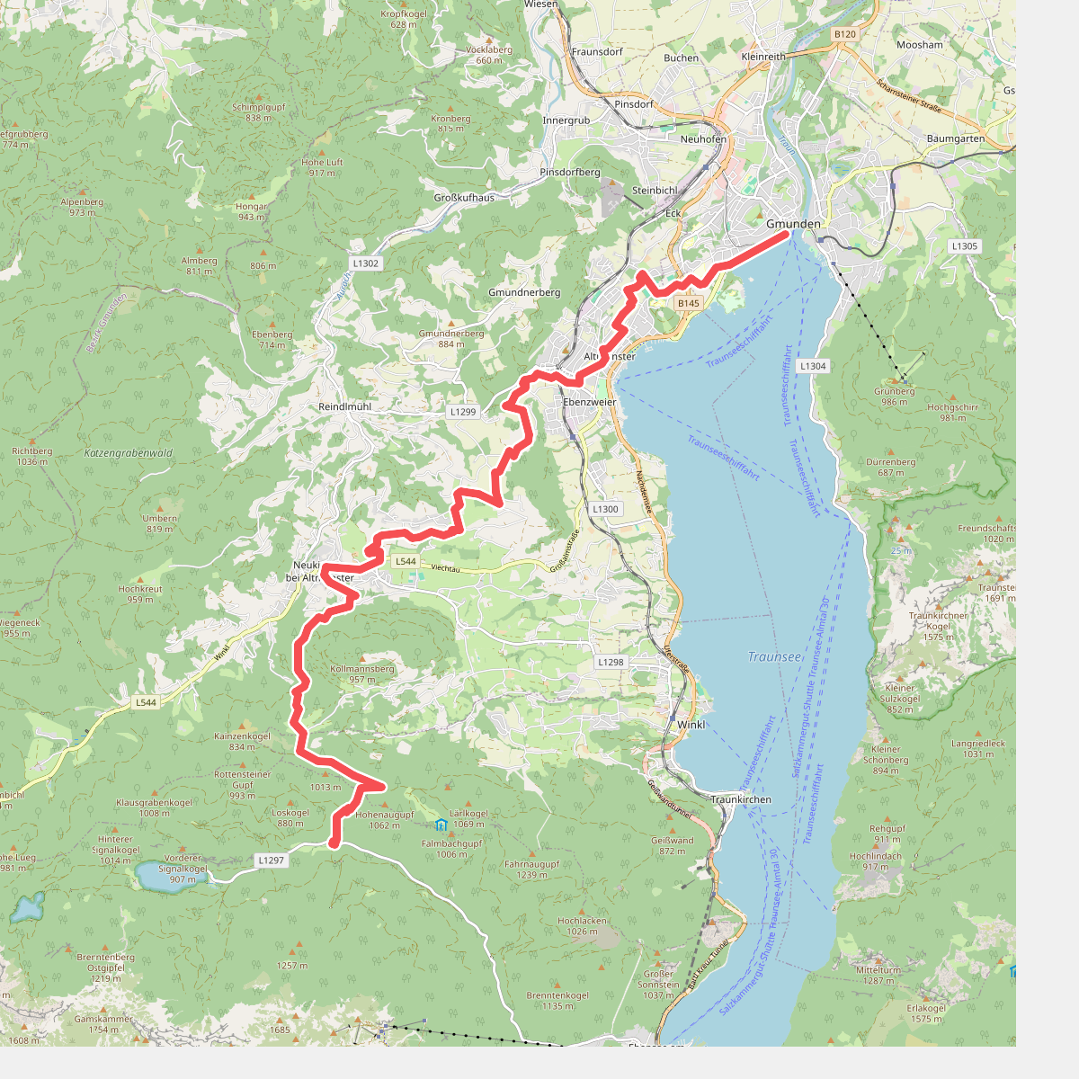
#5. Gmunden - Gasthaus 'In de Kreh' · BergeSeen Trail etappe 1
Gmunden,Altmünster,Traunkirchen,Ebensee am Traunsee
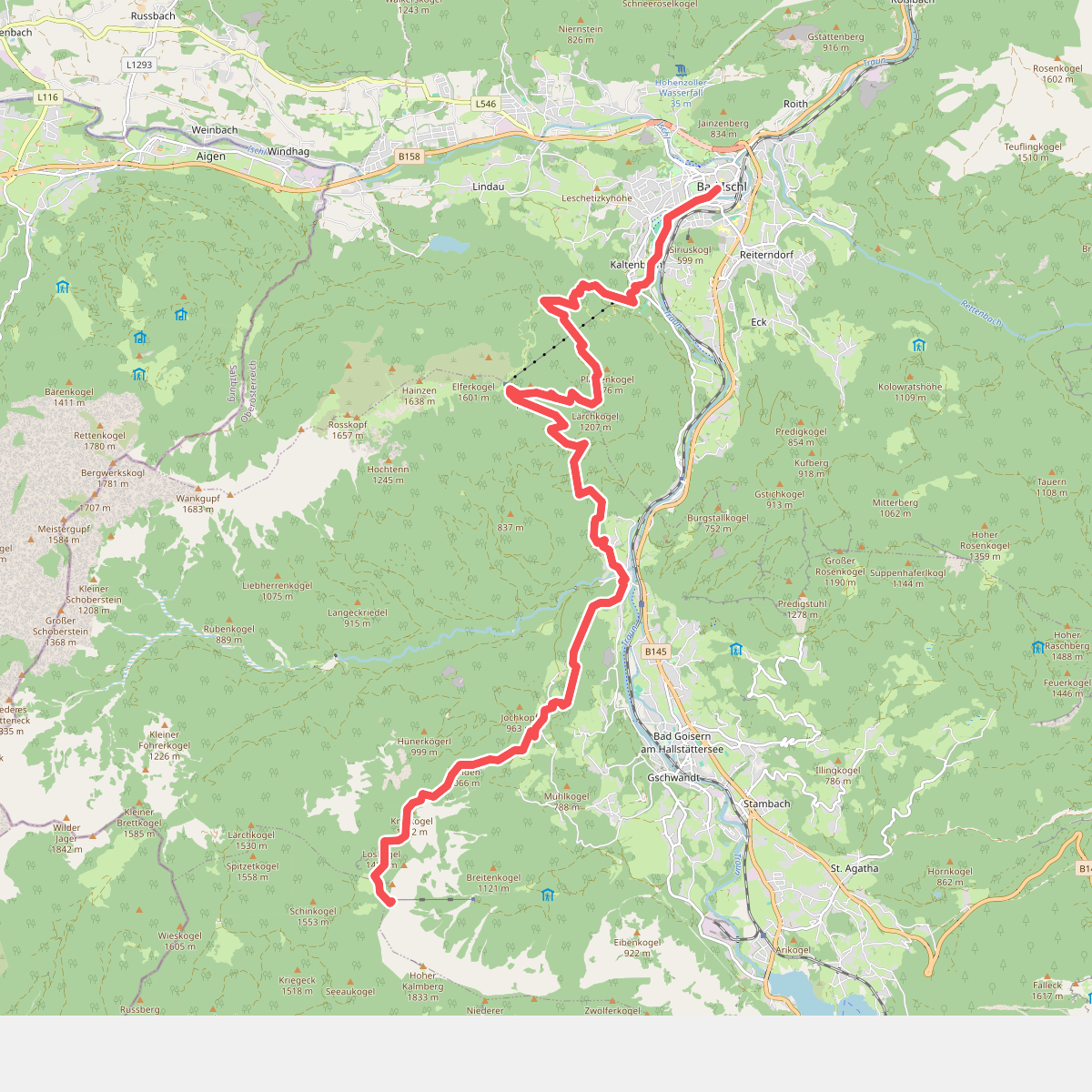
#6. Bad Ischl - de Goiserer Hütte · BergeSeen Trail etappe 10
Bad Ischl,Bad Goisern am Hallstättersee,Gosau
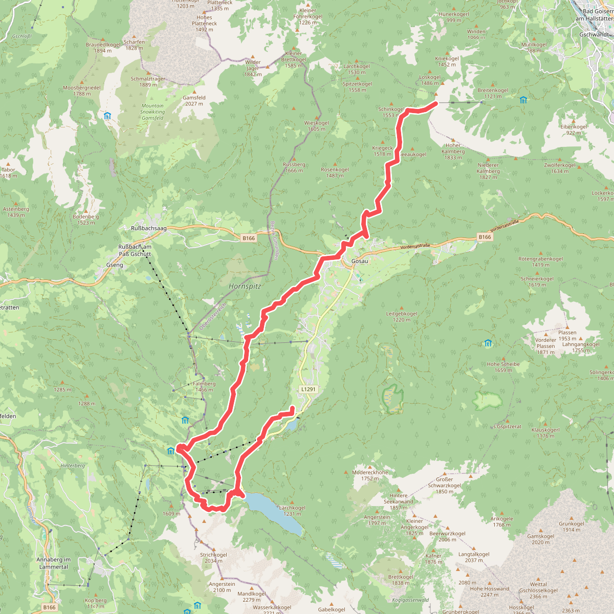
#7. Goiserer Hütte - Gosau-Hintertal · BergeSeen Trail etappe 11
Bad Goisern am Hallstättersee,Gosau
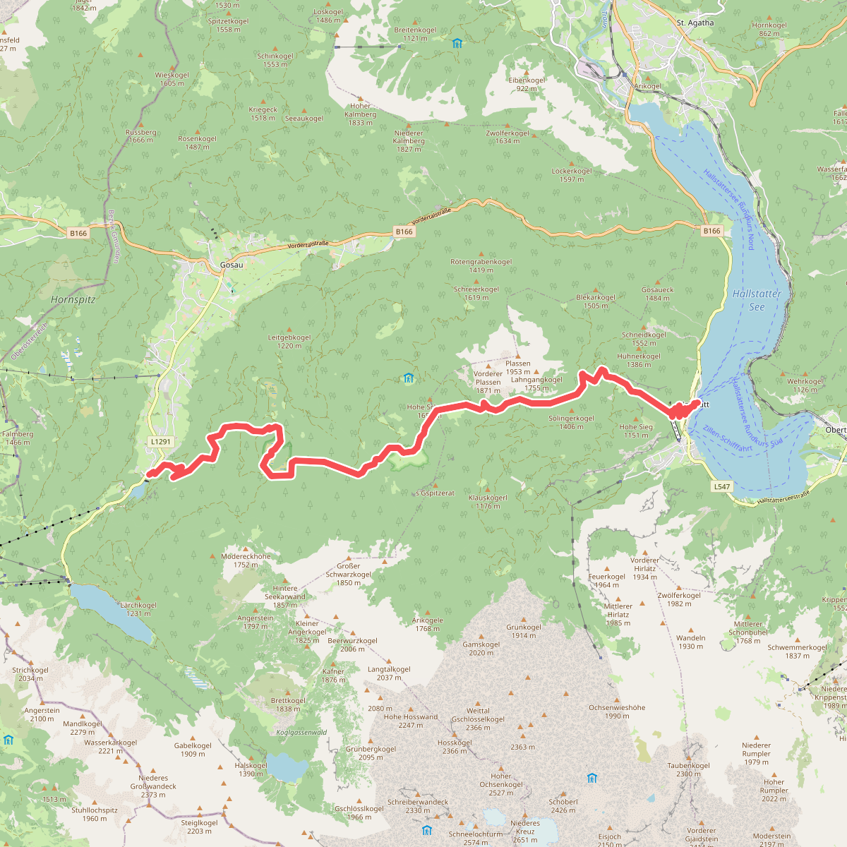
#8. Gosau-Hintertal - Hallstatt · BergeSeen Trail etappe 12
Gosau,Hallstatt
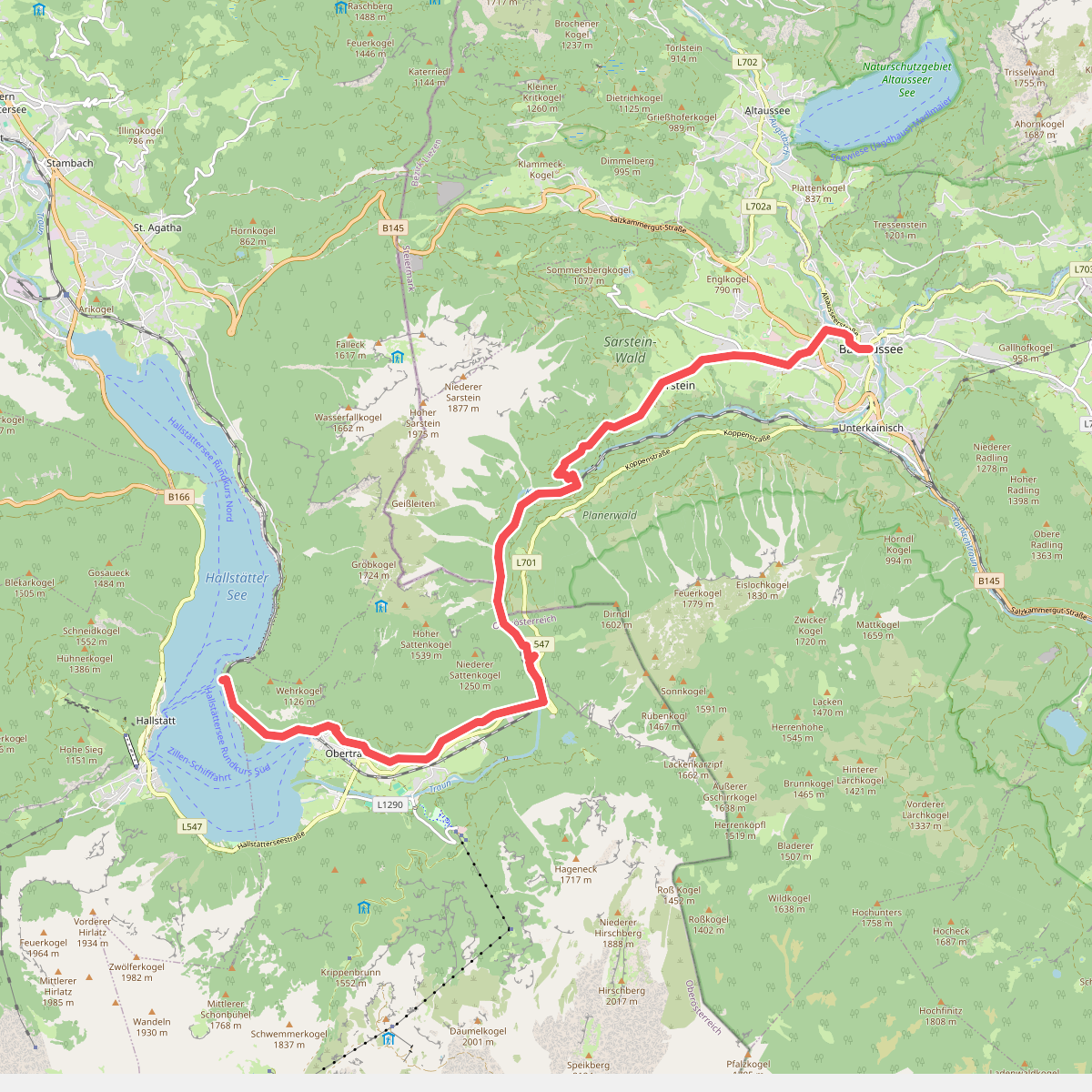
#9. Hallstatt - Bad Aussee · BergeSeen Trail etappe 13
Obertraun,Bad Aussee
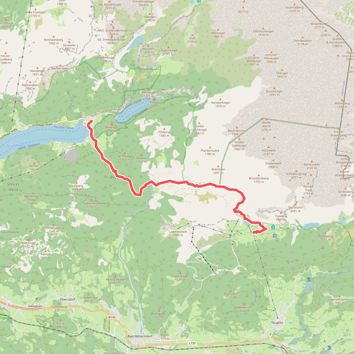
#10. Tauplitzalm - Gößl am Grundlsee · BergeSeen Trail etappe 16
Bad Mitterndorf,Grundlsee
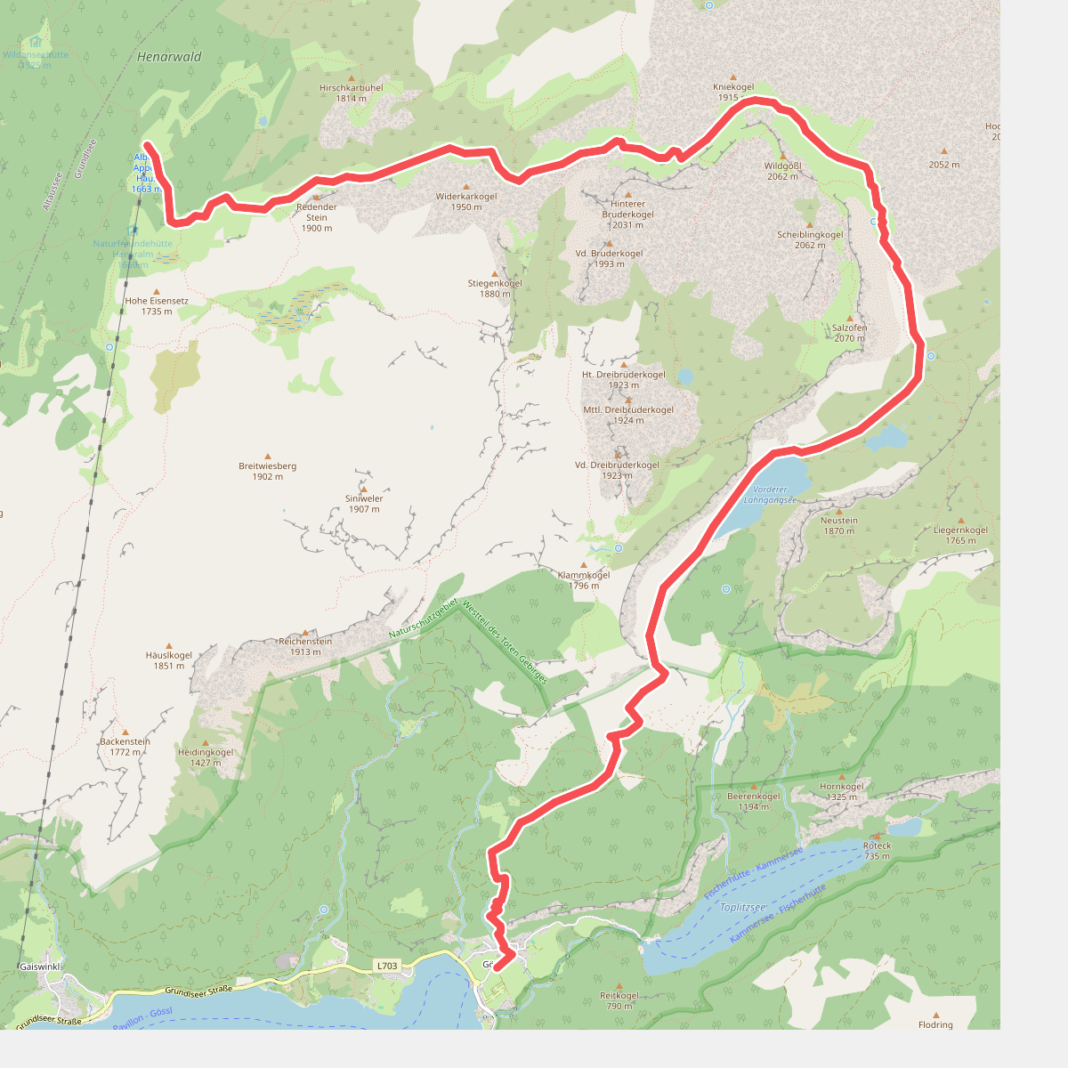
#11. Gößl am Grundlsee - Albert-Appelhaus · BergeSeen Trail etappe 17
Grundlsee
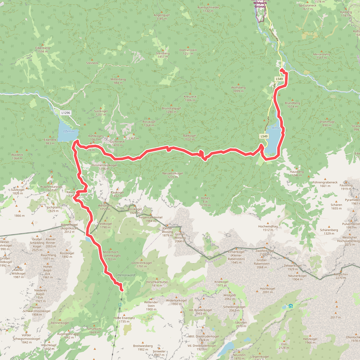
#12. Albert-Appelhaus - Gasthof Jagersimmerl · BergeSeen Trail etappe 18
Grundlsee,Altaussee,Ebensee am Traunsee,Grünau im Almtal



