The best hiking routes in Trøndelag
Discover the best walks in Trøndelag. 12 routes on the map, with descriptions, photos and GPX.
About Trøndelag
Tr%fndelag is divided by its geology into two distinct walking landscapes. In the south and west, Trollheimen landskapsvernomr%e and Dovrefjell-Sunndalsfjella nasjonalpark present steep, high-alpine terrain with deep-cut valleys and grey gneiss peaks. Here, paths are often steep and rocky, requiring steady footwork over scree and granite slabs. In contrast, the eastern borderlands of Bl%f%jella-Skj%ekerfjella nasjonalpark and Lierne nasjonalpark consist of gently rolling, low-gradient spruce forests and wide peat bogs where boardwalks are frequently laid to cross the softest ground.
Read more
About Trøndelag
Tr%fndelag is divided by its geology into two distinct walking landscapes. In the south and west, Trollheimen landskapsvernomr%e and Dovrefjell-Sunndalsfjella nasjonalpark present steep, high-alpine terrain with deep-cut valleys and grey gneiss peaks. Here, paths are often steep and rocky, requiring steady footwork over scree and granite slabs. In contrast, the eastern borderlands of Bl%f%jella-Skj%ekerfjella nasjonalpark and Lierne nasjonalpark consist of gently rolling, low-gradient spruce forests and wide peat bogs where boardwalks are frequently laid to cross the softest ground.
Read moreTr%fndelag is divided by its geology into two distinct walking landscapes. In the south and west, Trollheimen landskapsvernomr%e and Dovrefjell-Sunndalsfjella nasjonalpark present steep, high-alpine terrain with deep-cut valleys and grey gneiss peaks. Here, paths are often steep and rocky, requiring steady footwork over scree and granite slabs. In contrast, the eastern borderlands of Bl%f%jella-Skj%ekerfjella nasjonalpark and Lierne nasjonalpark consist of gently rolling, low-gradient spruce forests and wide peat bogs where boardwalks are frequently laid to cross the softest ground.
Your choice of trail determines what you will see underfoot. In the northern spruce forests of Lierne, the soil is thick with damp moss and decaying pine needles, while the high plateau of Forollhogna nasjonalpark features dry, lichen-covered heathland and rounded, gentle summits that do not require scrambling. In Femundsmarka nasjonalpark, the landscape is dominated by ancient, slow-growing pine forests and a maze of moraine ridges left behind by glaciers, where the paths are heavily strewn with coarse granite boulders.
Seasonality changes the terrain visibly. By September, the dwarf birch in Forollhogna turns a deep red, and the peat bogs in Skarvan og Roltdalen nasjonalpark become heavy with cloudberries. While the popular valleys of Trollheimen can be busier during the summer months, the vast spruce forests of Bl%f%jella-Skj%ekerfjella remain quiet, offering a simpler, flatter walking experience without dramatic elevation gains.
Nature areas in Trøndelag
Zoom or pan for more routes
Hiking routes in Trøndelag (12)
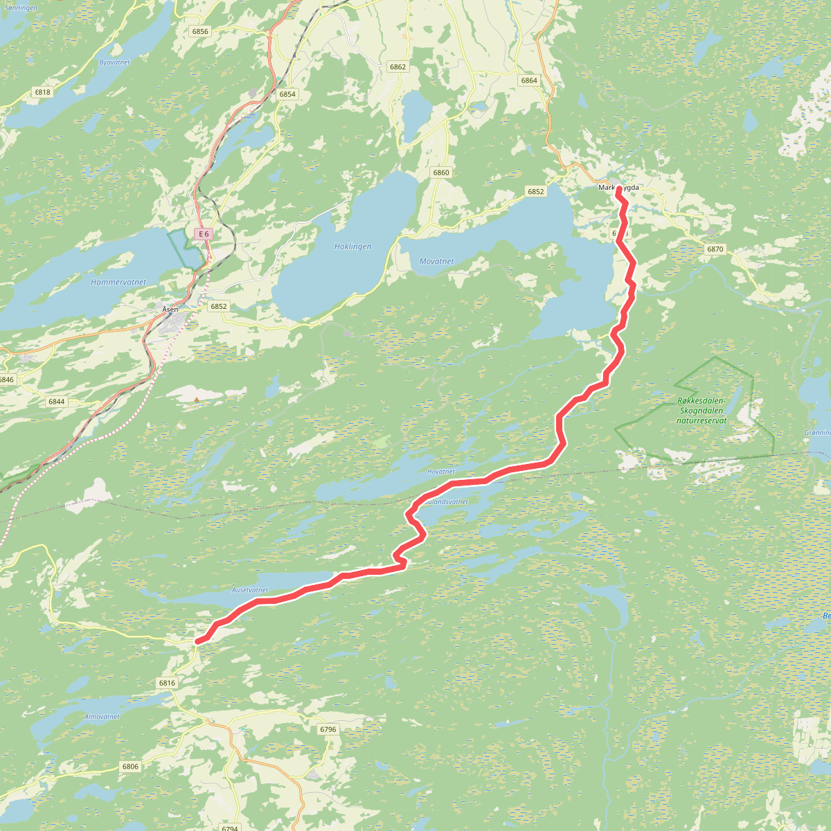
#1. Markabygda - Borås · St. Olavsleden etappe 25
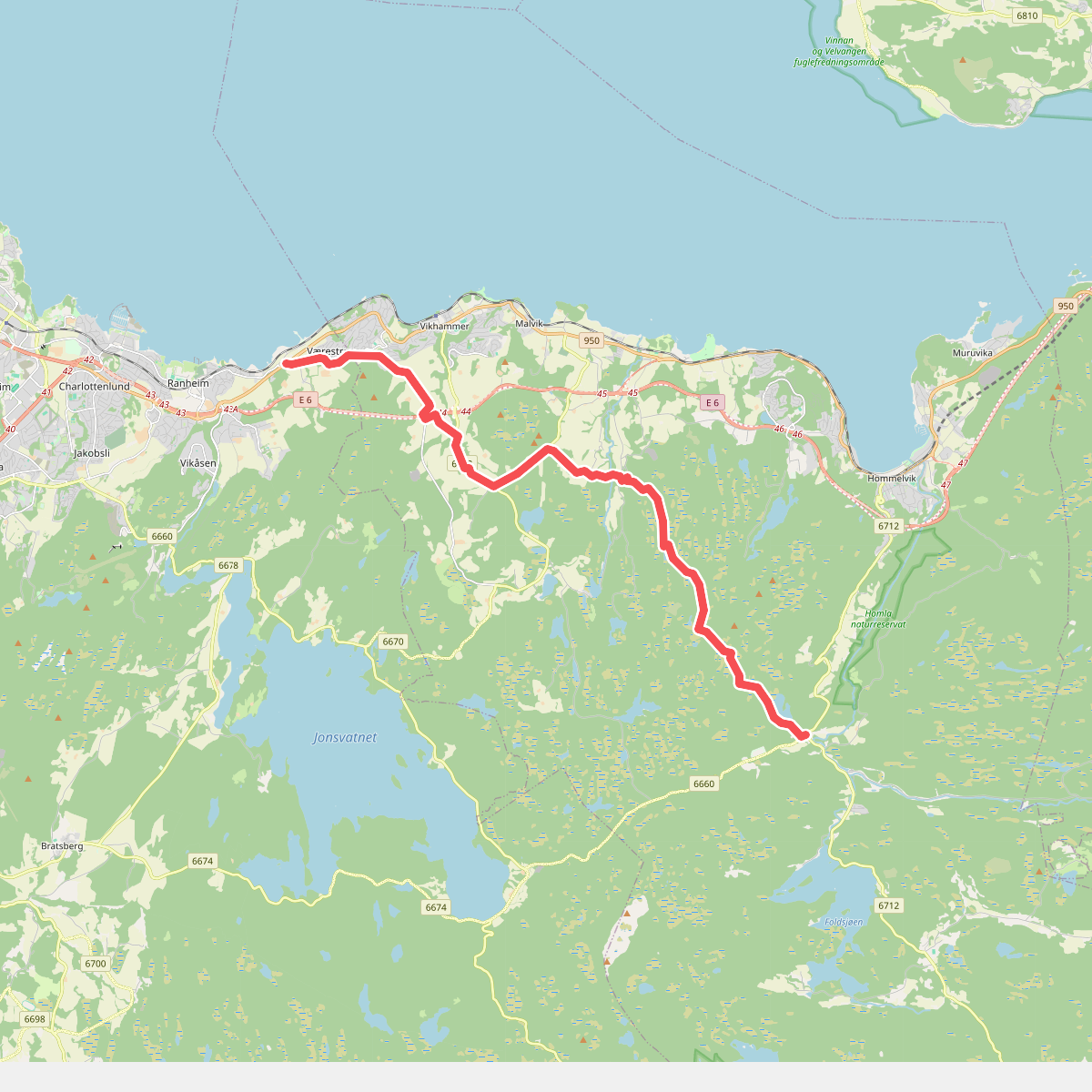
#2. Nyhus - Vikhammer · St. Olavsleden etappe 28
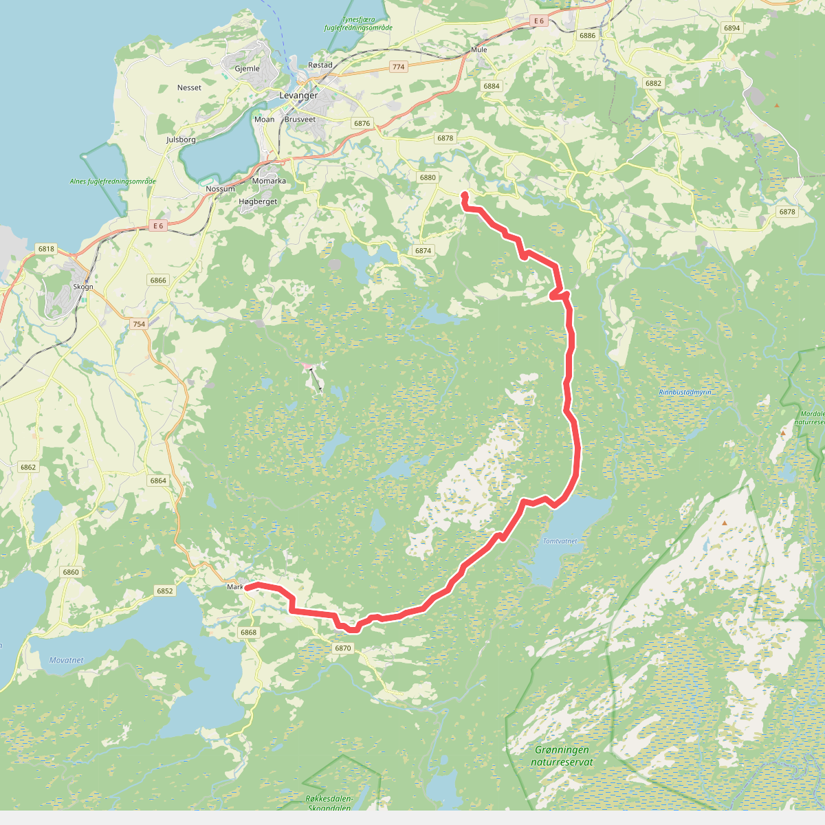
#3. Munkeby - Markabygda · St. Olavsleden etappe 24
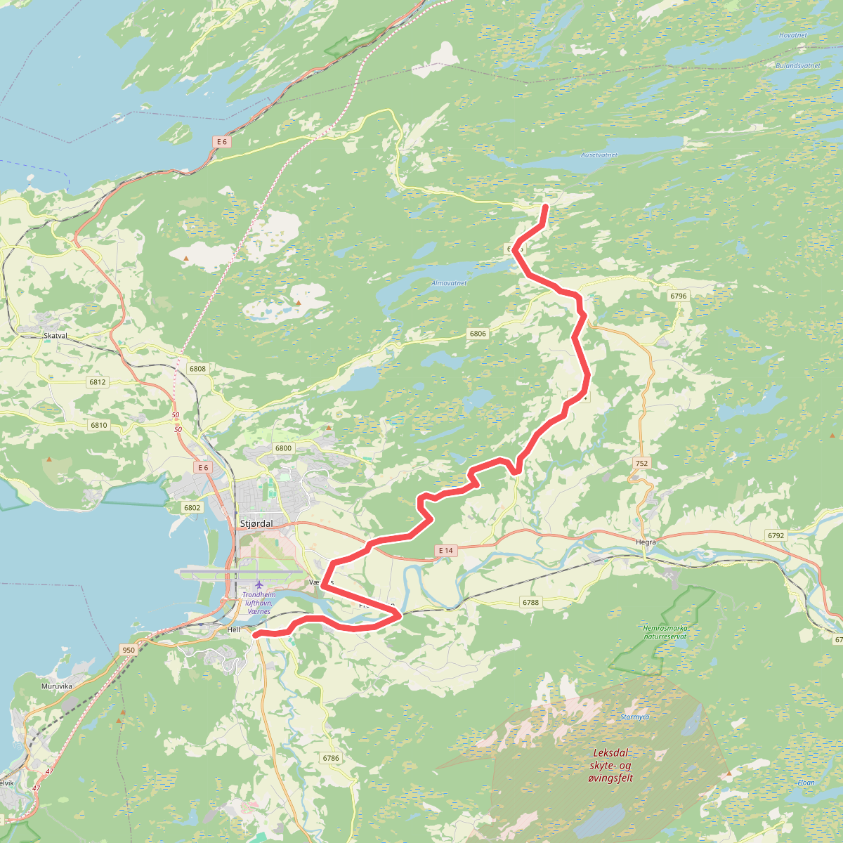
#4. Borås - Værnes (Stjørdal) · St. Olavsleden etappe 26
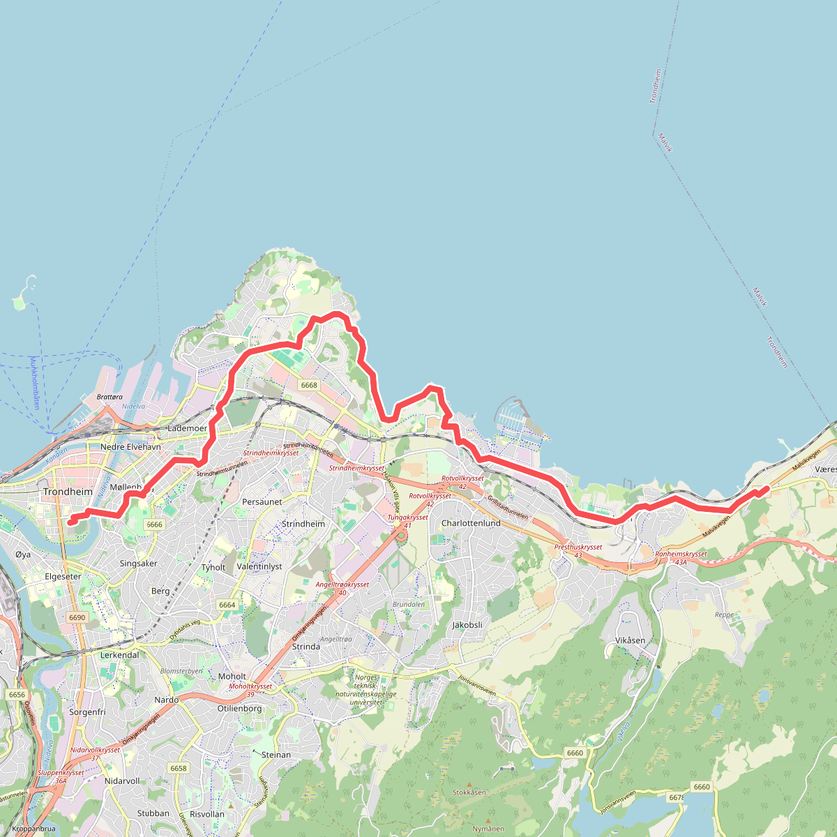
#5. Vikhammer - Nidarosdomen · St. Olavsleden etappe 29
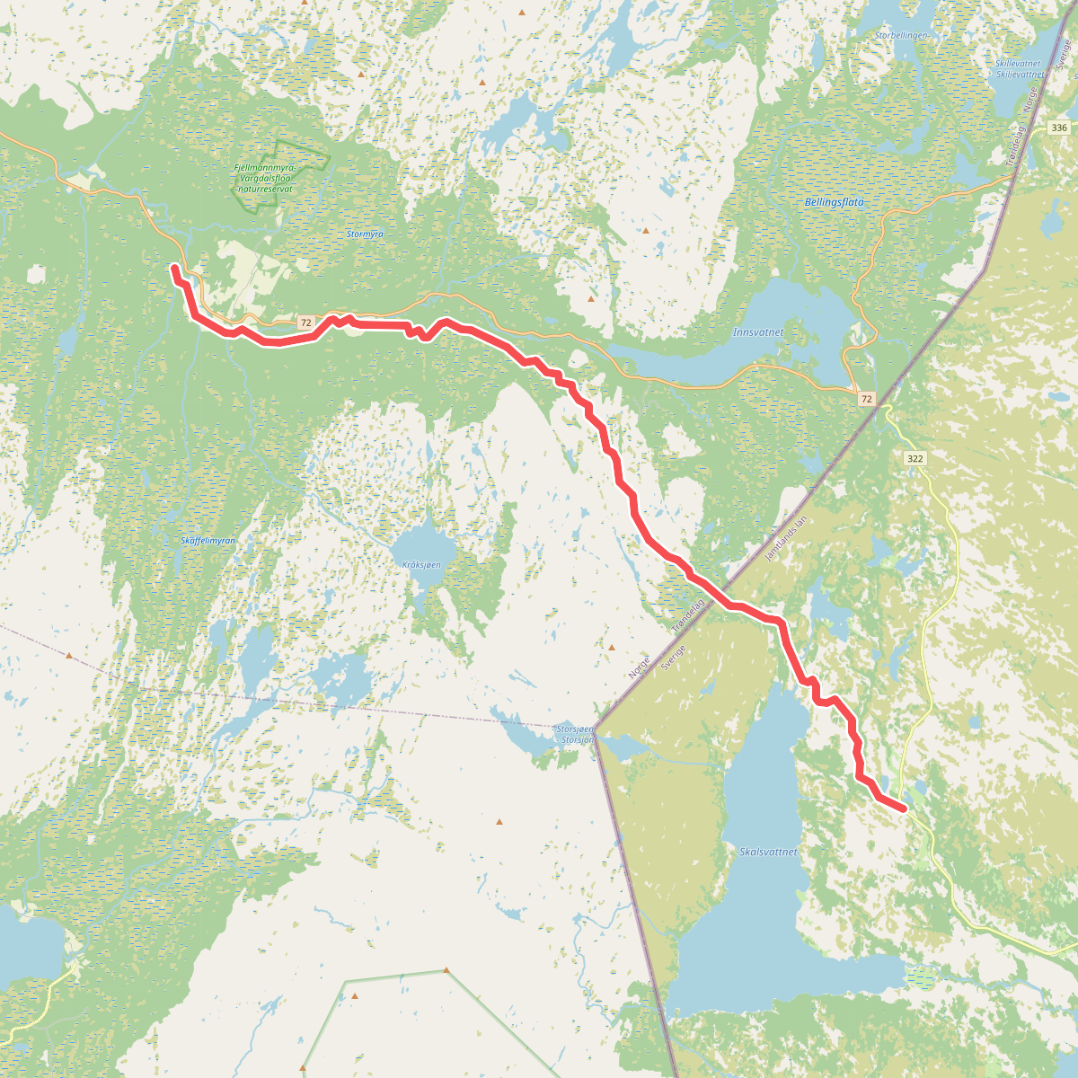
#6. Skalstugan - Riksgränsen - Sul, vandring · St. Olavsleden etappe 20
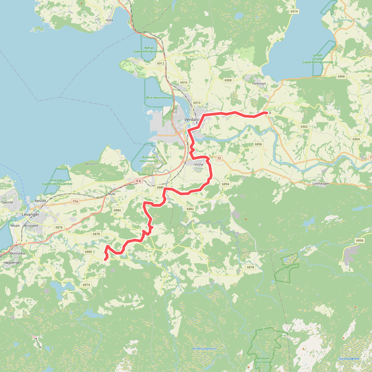
#7. Stiklestad - Munkeby · St. Olavsleden etappe 23
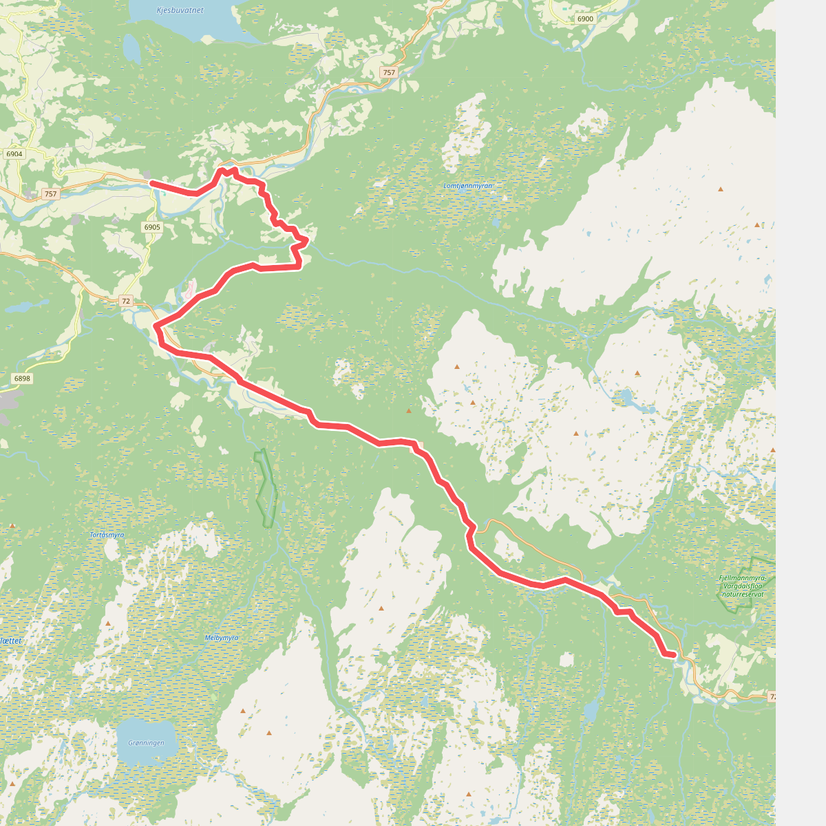
#8. Sul - Vuku, vandring · St. Olavsleden etappe 21
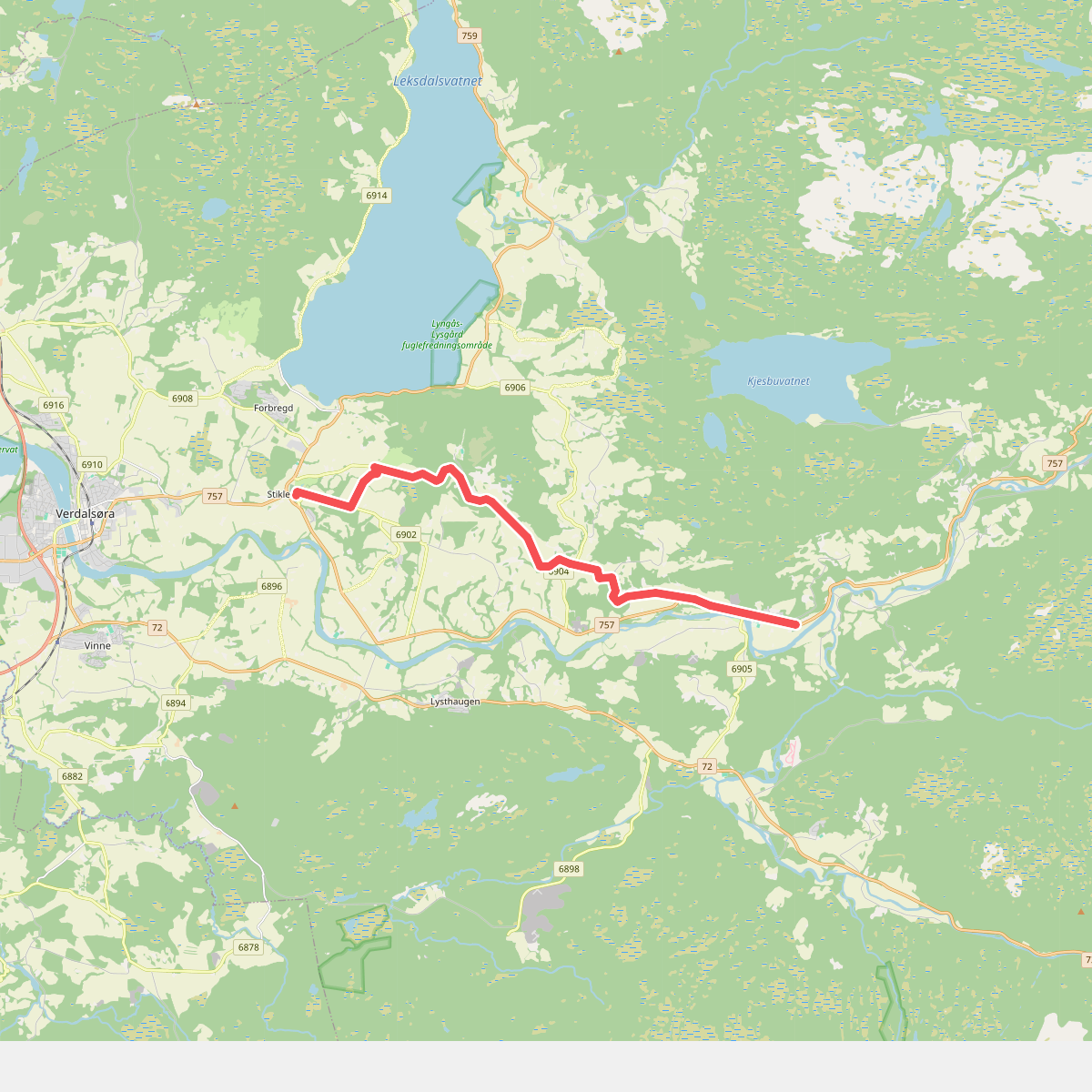
#9. Vuku - Stiklestad, vandring · St. Olavsleden etappe 22
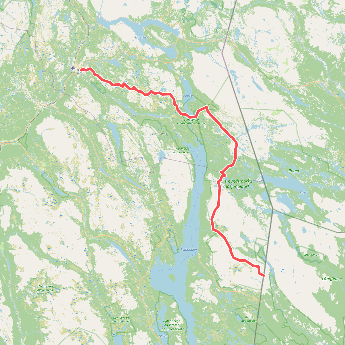
#10. European Long distance path E1 - Norway, Hedmark
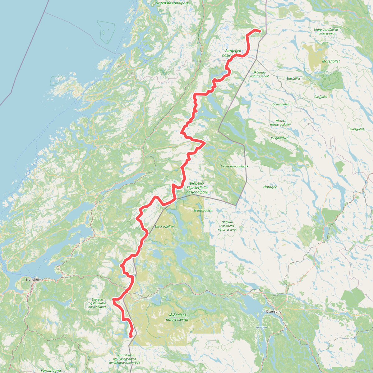
#11. European Long distance path E1 - Norway, Nord-Trøndelag