The best hiking routes in Ticino
Discover the best walks in Ticino. 386 routes on the map, with descriptions, photos and GPX.
About Ticino
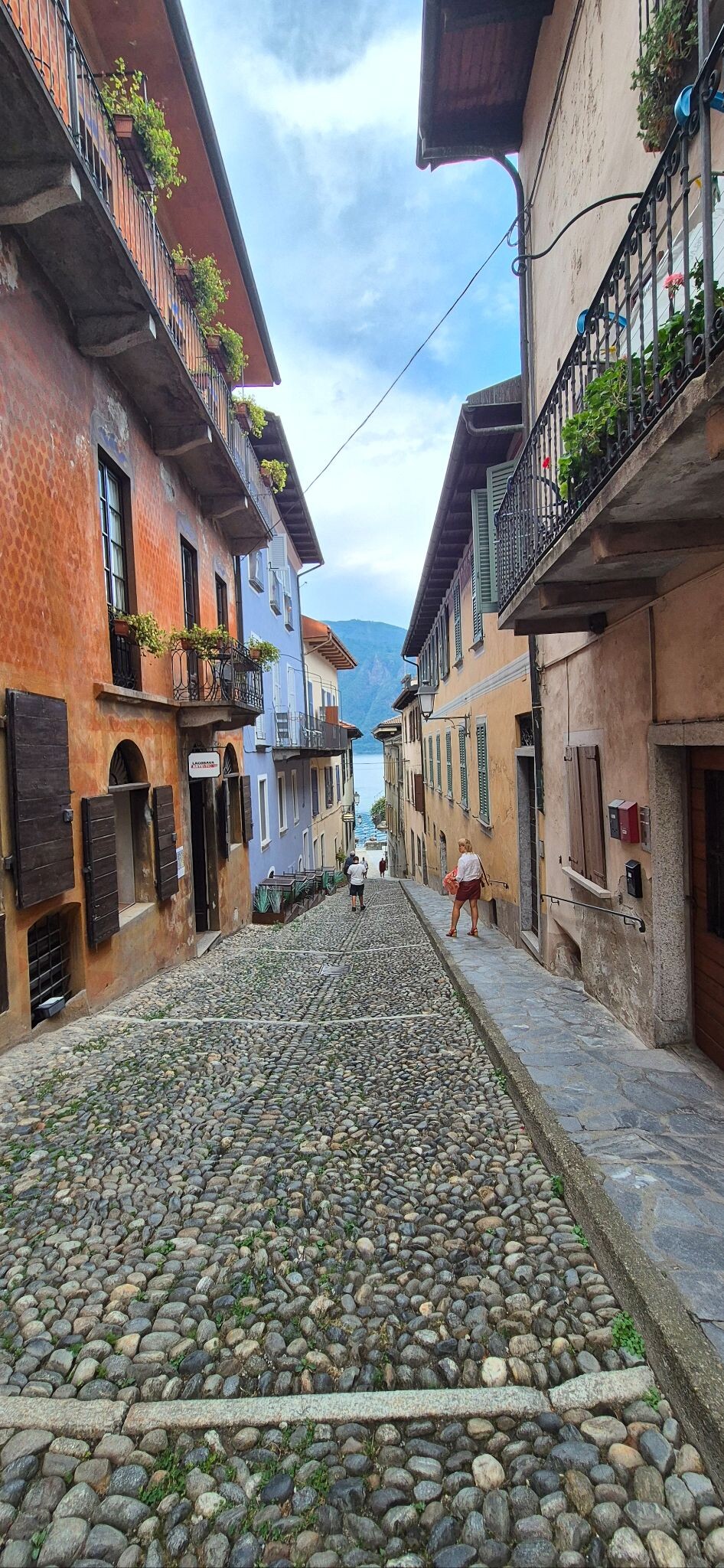
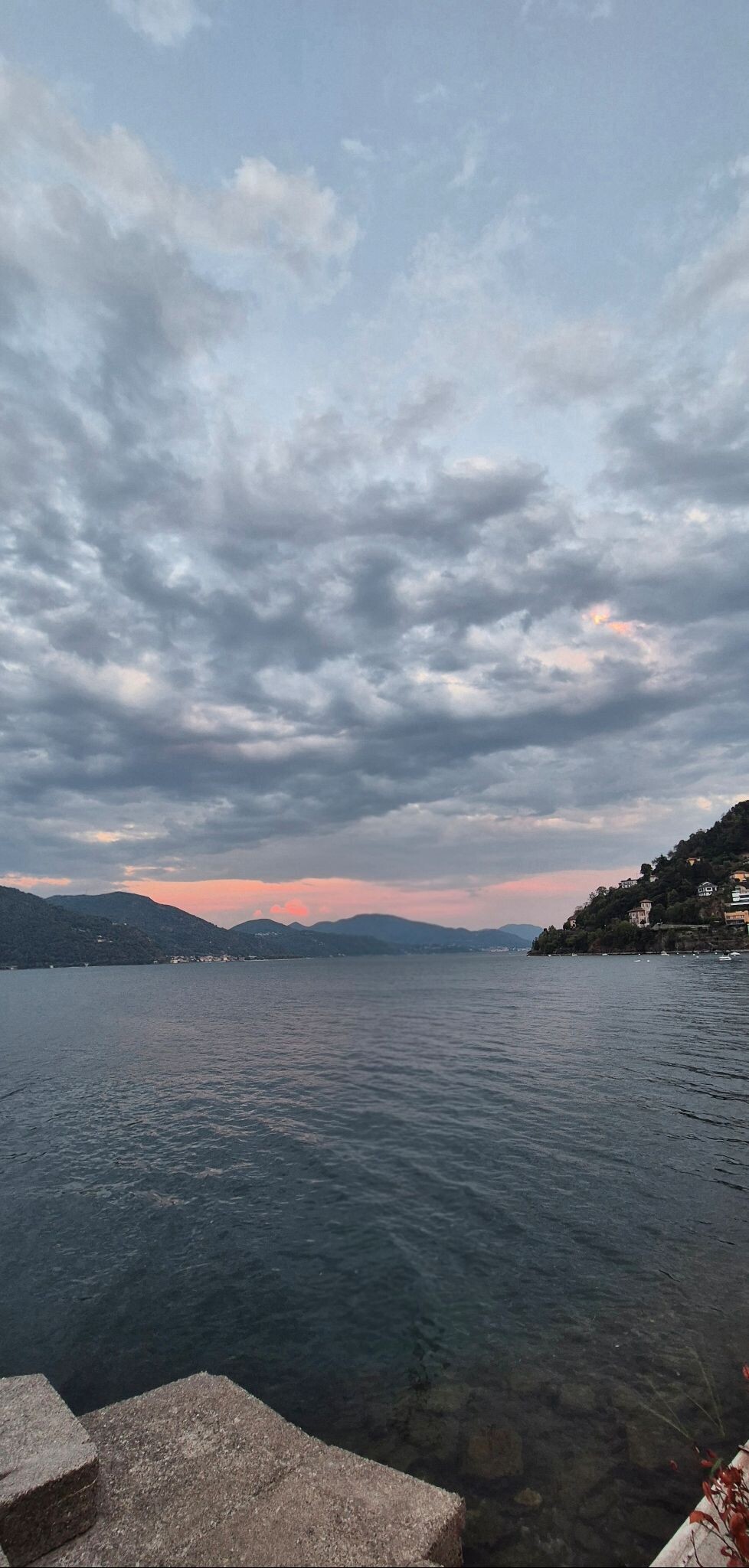
Ticino presents a stark contrast between its palm-fringed lake shores and the steep, forested valleys that rise abruptly toward granite peaks. For a walker, this means choosing between paved lakeside promenades and rugged, stone-paved mule tracks that climb through chestnut forests. The terrain is demanding, defined by sharp elevation gains and stone steps built centuries ago to connect isolated mountain hamlets. It is not a place for gentle, rolling meadows; expect steep gradients and deep gorges.
Read more
About Ticino
Ticino presents a stark contrast between its palm-fringed lake shores and the steep, forested valleys that rise abruptly toward granite peaks. For a walker, this means choosing between paved lakeside promenades and rugged, stone-paved mule tracks that climb through chestnut forests. The terrain is demanding, defined by sharp elevation gains and stone steps built centuries ago to connect isolated mountain hamlets. It is not a place for gentle, rolling meadows; expect steep gradients and deep gorges.
Read moreTicino presents a stark contrast between its palm-fringed lake shores and the steep, forested valleys that rise abruptly toward granite peaks. For a walker, this means choosing between paved lakeside promenades and rugged, stone-paved mule tracks that climb through chestnut forests. The terrain is demanding, defined by sharp elevation gains and stone steps built centuries ago to connect isolated mountain hamlets. It is not a place for gentle, rolling meadows; expect steep gradients and deep gorges.
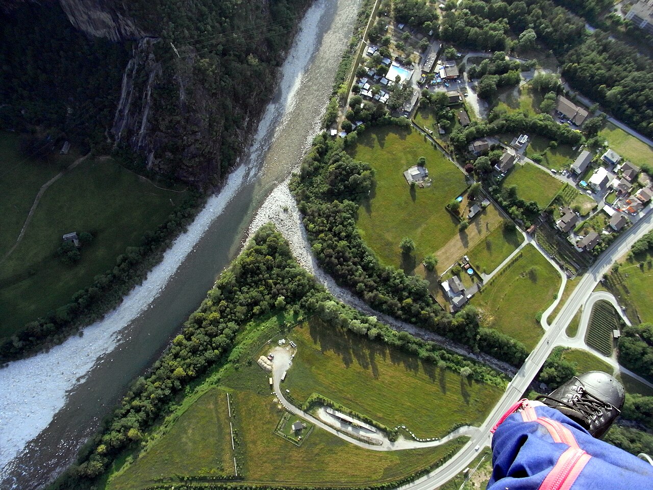
In the far south, near the Italian border, Parco Valle del Lanza offers a different, gentler landscape of wooded river corridors and old railway heritage. Here, the paths are flatter, following the watercourse over dirt and gravel tracks rather than the steep granite steps found further north. You will walk past old mills and sandstone quarries, where the geological transition from the high Alps to the Po plain becomes visible in the softer rock underfoot.
Timing a visit changes what you see on the ground. In October, the chestnut forests of the lower valleys drop their husks, covering the paths in a thick layer of brown leaves and prickly shells. While the high passes are often blocked by snow late into spring, these lower valley paths and river parks remain accessible for walking much earlier in the year.
Nature areas in Ticino
Zoom or pan for more routes
Hiking routes in Ticino (386)
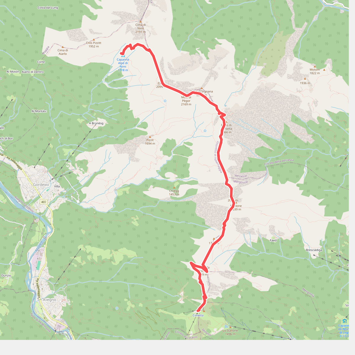
#1. 01 - Cimetta - Capanna Nimi
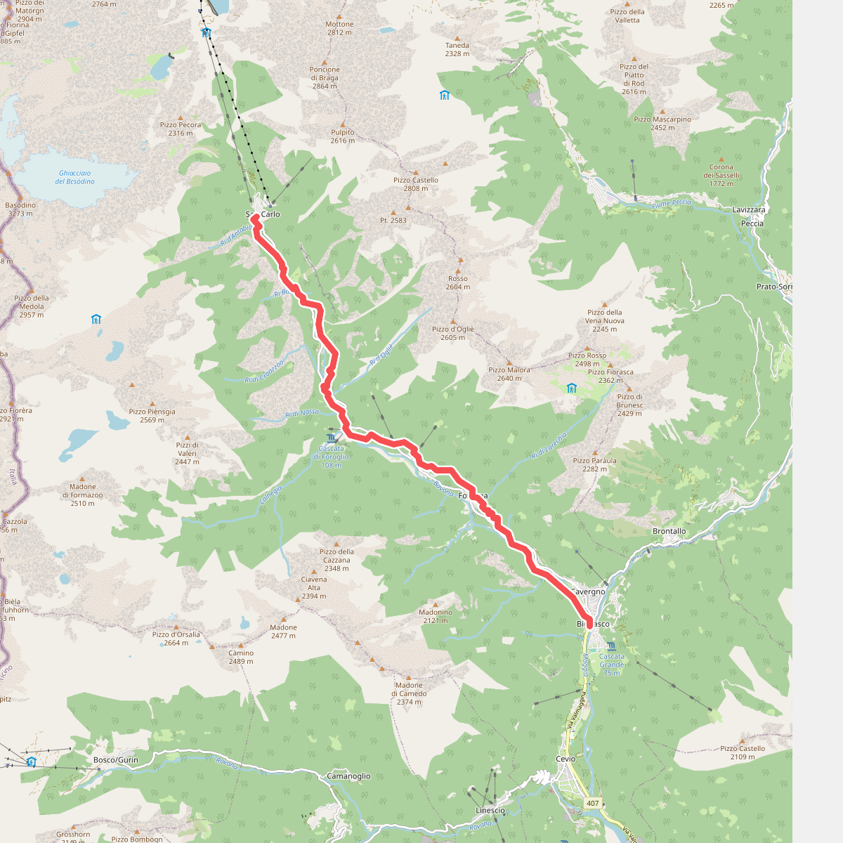
#2. 01-Sentiero Cristallina
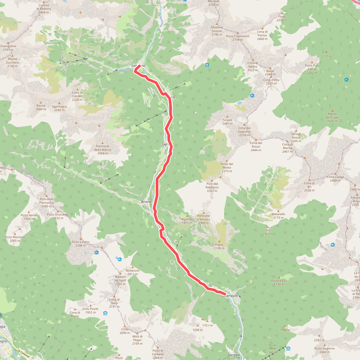
#3. 01-Sentiero Verzasca
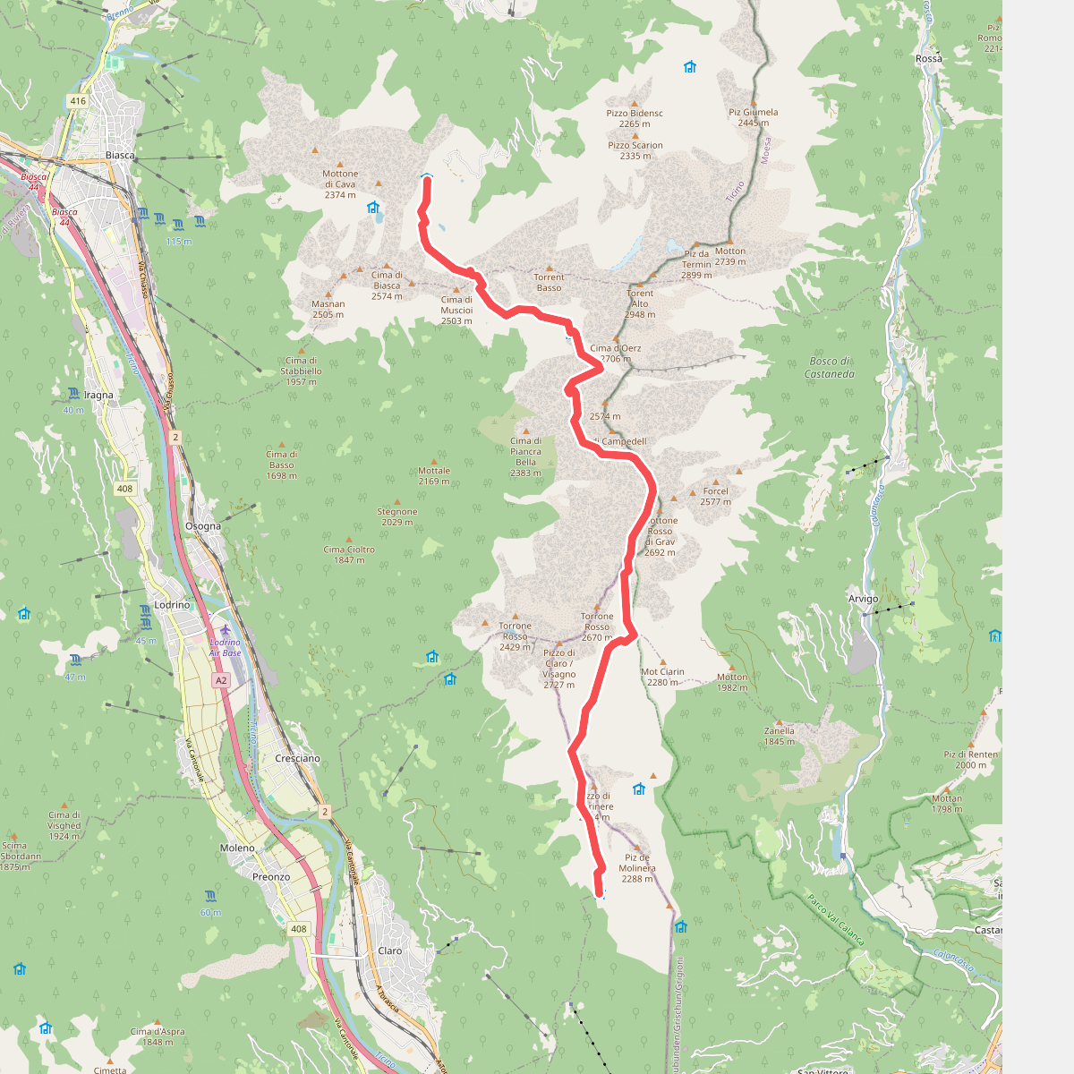
#4. 01-Via Alta Crio
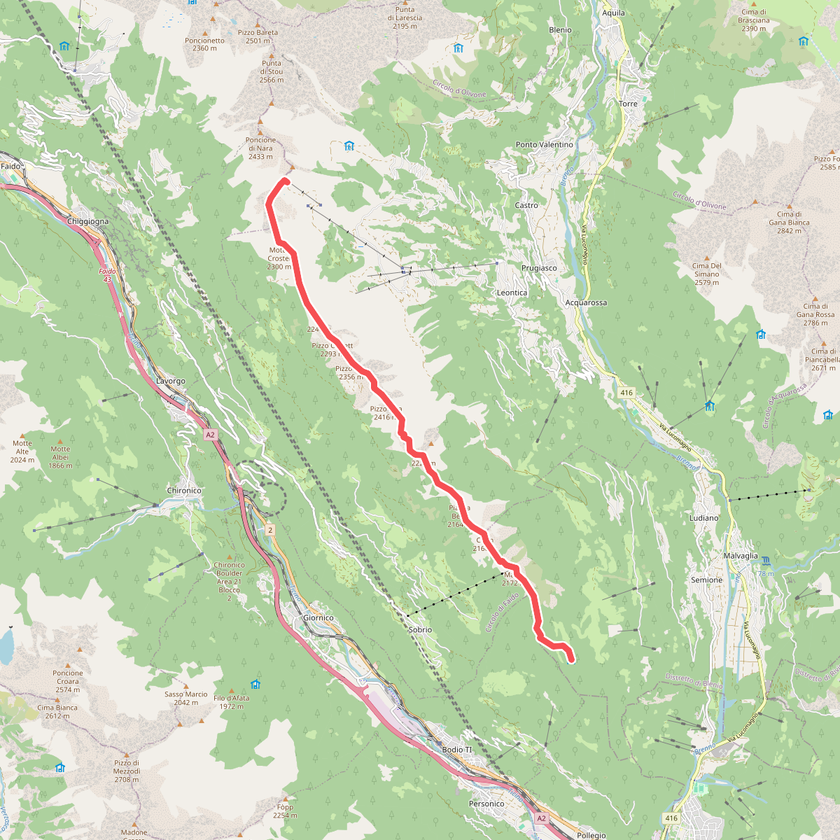
#5. 01 Via Alta del Sole
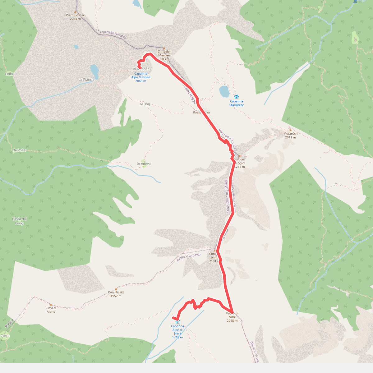
#6. 02 - Capanna Nimi- Rifugio Alpe Masnee
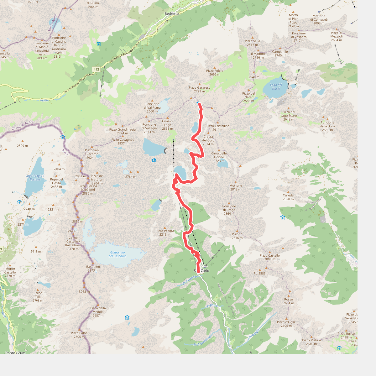
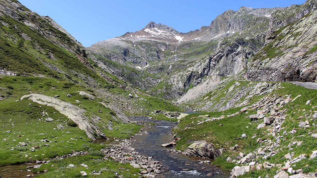
#7. 02-Sentiero Cristallina
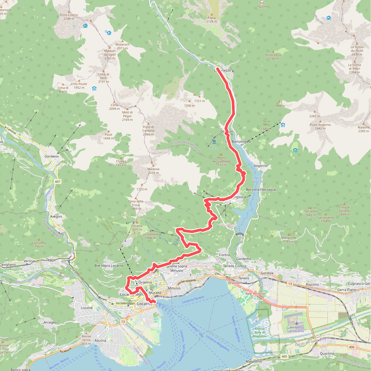
#8. 02-Sentiero Verzasca
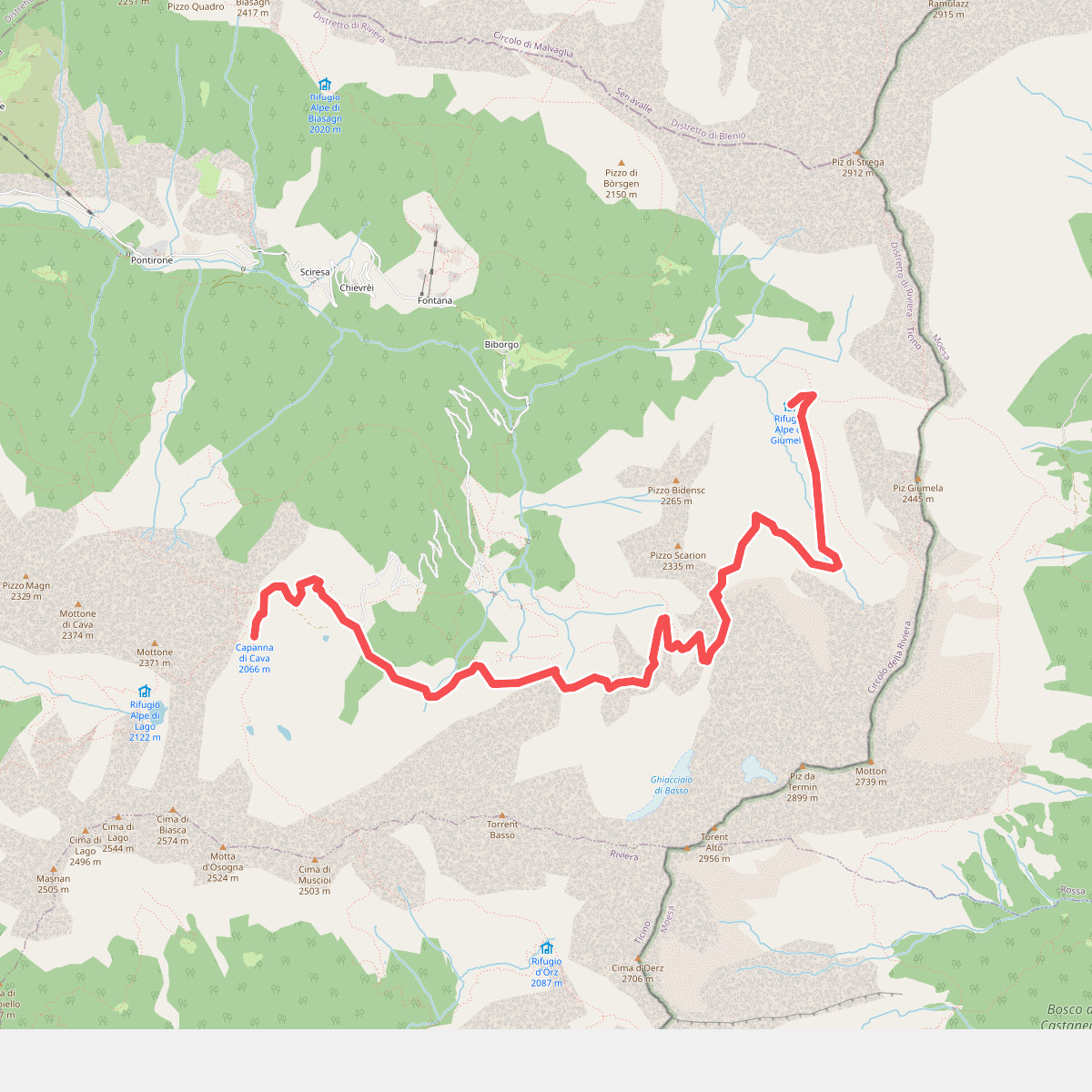
#9. 02-Via Alta Crio
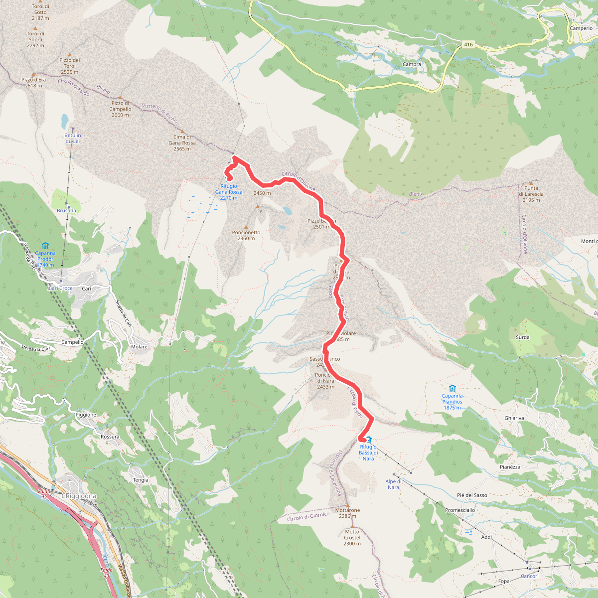
#10. 02 Via Alta del Sole
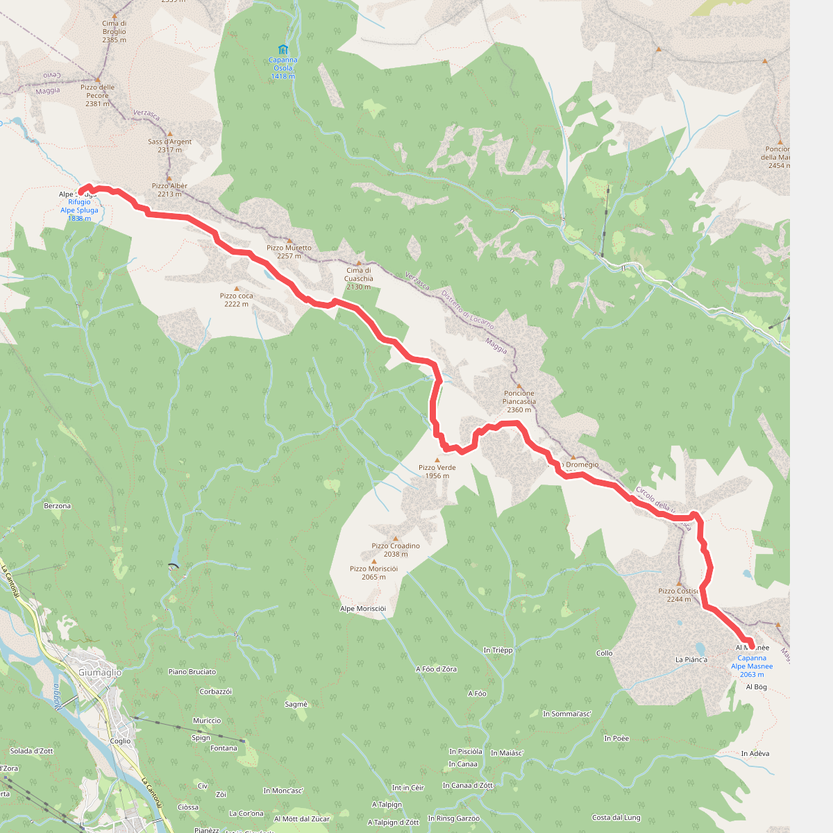
#11. 03 - Rifugio Alpe Masnee - Capanna Alpe Spluga