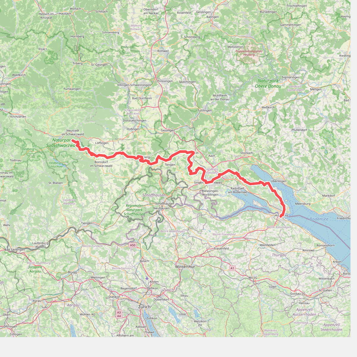
The best hiking routes in Thurgau
Discover the best walks in Thurgau. 54 routes on the map, with descriptions, photos and GPX.
About Thurgau
Thurgau is a gently rolling landscape of orchards, agricultural fields, and quiet forests bordering the southern shore of Lake Constance. It is not a region of dramatic alpine peaks or deep, rocky gorges, but rather a countryside shaped by centuries of fruit cultivation and small-scale farming. On the path, you will notice how the terrain rises slowly from the lake basin into broad, green ridges, where gravel agricultural lanes and dirt forest tracks form the typical underfooting.
Read more
About Thurgau
Thurgau is a gently rolling landscape of orchards, agricultural fields, and quiet forests bordering the southern shore of Lake Constance. It is not a region of dramatic alpine peaks or deep, rocky gorges, but rather a countryside shaped by centuries of fruit cultivation and small-scale farming. On the path, you will notice how the terrain rises slowly from the lake basin into broad, green ridges, where gravel agricultural lanes and dirt forest tracks form the typical underfooting.
Read moreThurgau is a gently rolling landscape of orchards, agricultural fields, and quiet forests bordering the southern shore of Lake Constance. It is not a region of dramatic alpine peaks or deep, rocky gorges, but rather a countryside shaped by centuries of fruit cultivation and small-scale farming. On the path, you will notice how the terrain rises slowly from the lake basin into broad, green ridges, where gravel agricultural lanes and dirt forest tracks form the typical underfooting.
To choose your walk, decide between the open, breeze-exposed lakeshore and the quieter inland hills. The lakeside paths offer views across the wide water of Lake Constance toward the distant northern shore, passing through manicured lakeside parks and small harbor villages. In contrast, walking further inland near the Seerücken ridge brings you into a mosaic of timber-framed villages, small peat bogs, and dense beech forests that feel much more secluded.
Timing your visit changes the character of the landscape significantly. In May, the region is dominated by the white and pink blossoms of thousands of apple trees, particularly around Altnau, making the orchards the central feature of any walk. By October, the focus shifts to the grape harvest along the sunny hillsides of the Untersee, where the vines turn yellow and the paths are often busier with local walkers visiting seasonal wine taverns.
Zoom or pan for more routes
Hiking routes in Thurgau (54)
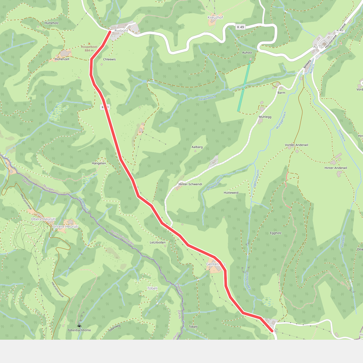
#1. Allenwinden-Rotbühl
Fischingen
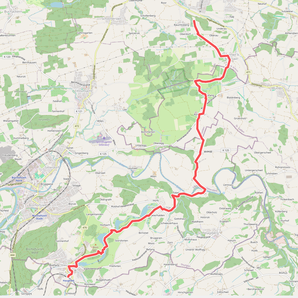
#2. Amriswil Hauptwil
Amriswil,Muolen,Zihlschlacht-Sitterdorf,Hauptwil-Gottshaus
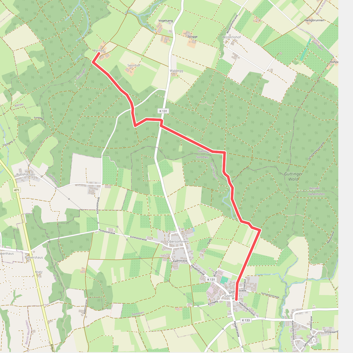
#3. Bleihof - Niedersommeri
Güttingen,Sommeri
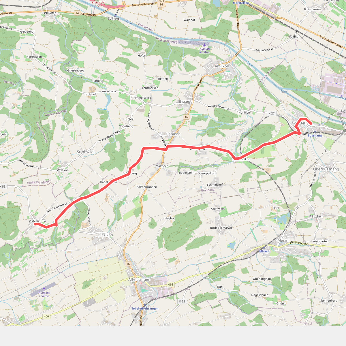
#4. Bussnang - Wetzikon
Bussnang,Amlikon-Bissegg,Affeltrangen,Thundorf
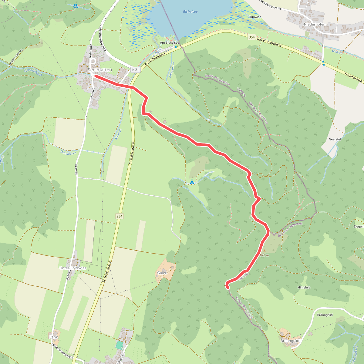
#5. Chabishaupt - Seelmatten
Bichelsee-Balterswil,Turbenthal
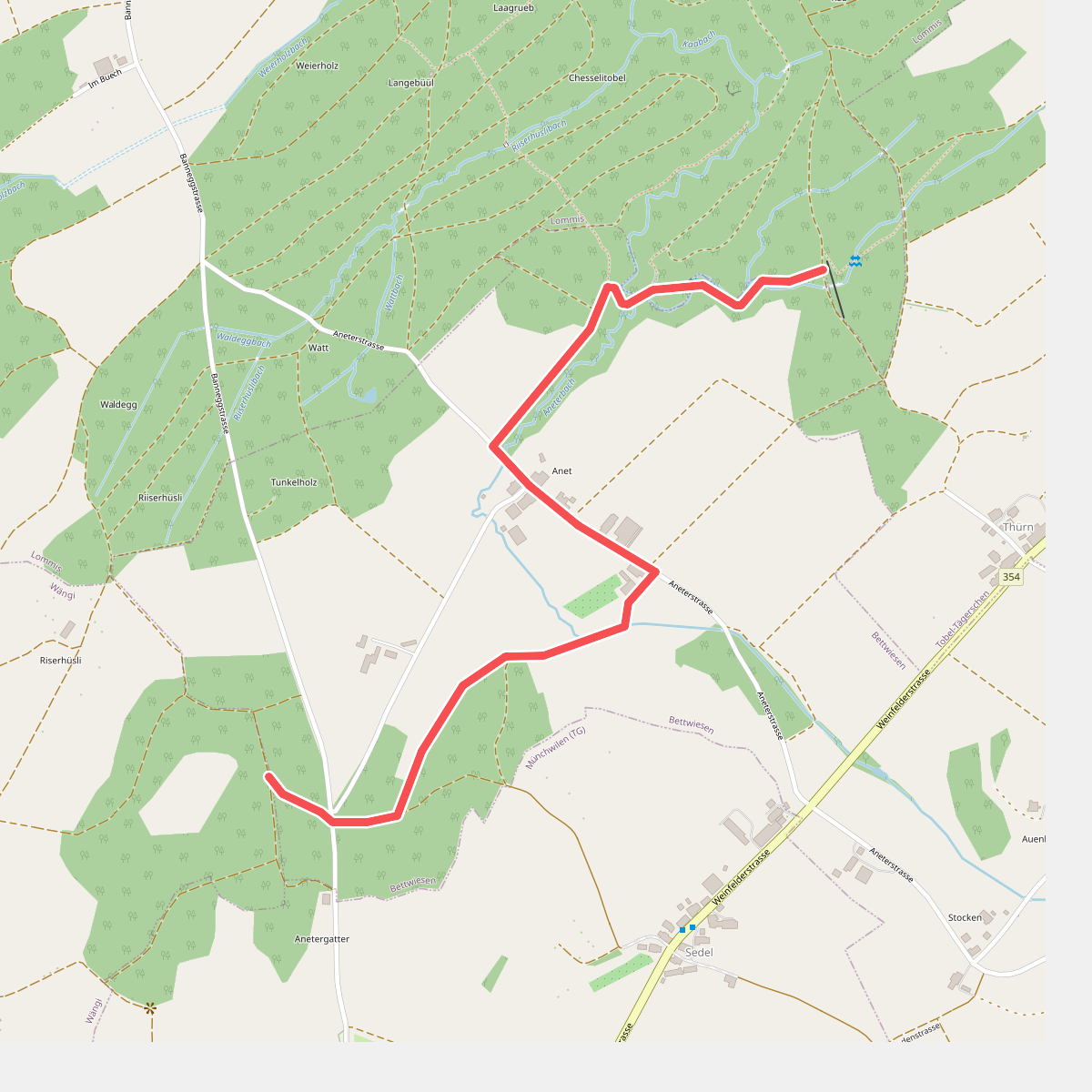
#6. Chueweid - Anet
Wängi,Bettwiesen
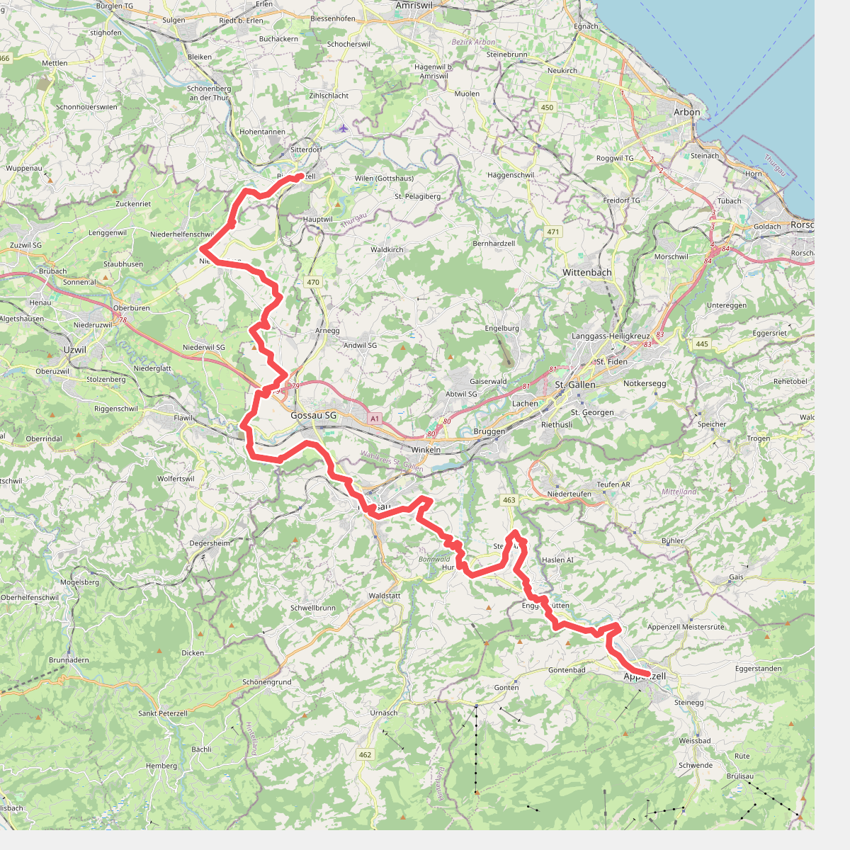
#7. Divisionsweg
Appenzell,Gonten,Schlatt-Haslen,Stein (AR),Hundwil,Herisau,Gossau (SG),Oberbüren,Niederbüren,Bischofszell
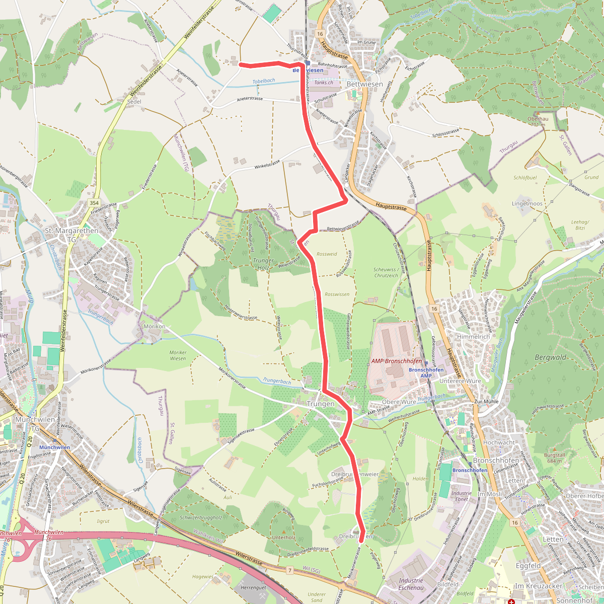
#8. Dreibrunnen - Trungen - Bettwiesen
Wil (SG),Bettwiesen
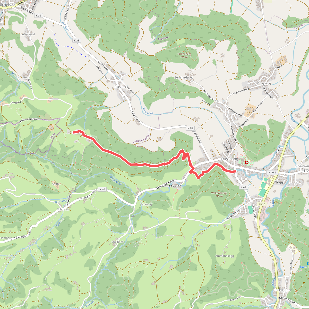
#9. Dussnang - Niederwies
Fischingen,Bichelsee-Balterswil
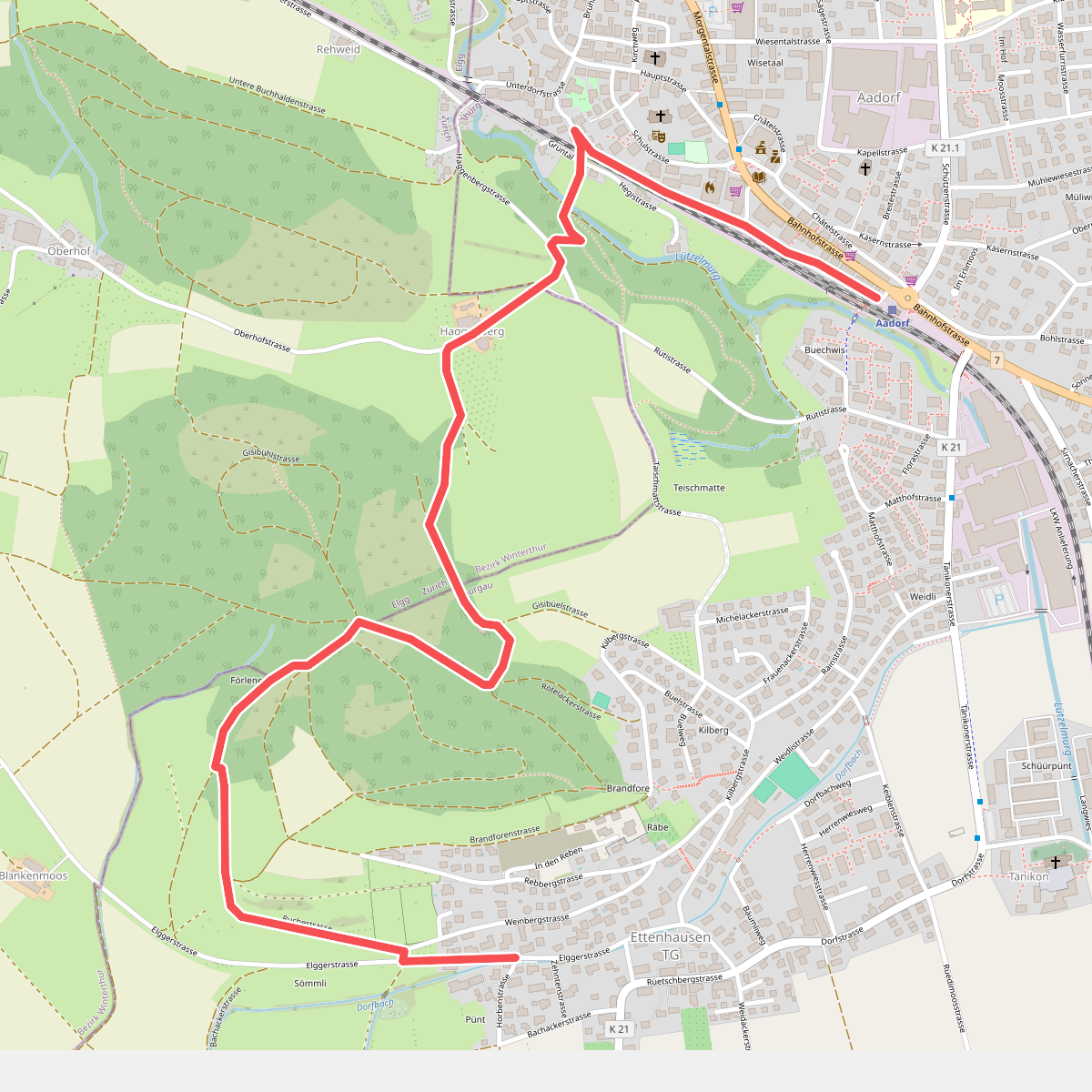
#10. Ettenhausen - Aadorf
Aadorf,Elgg
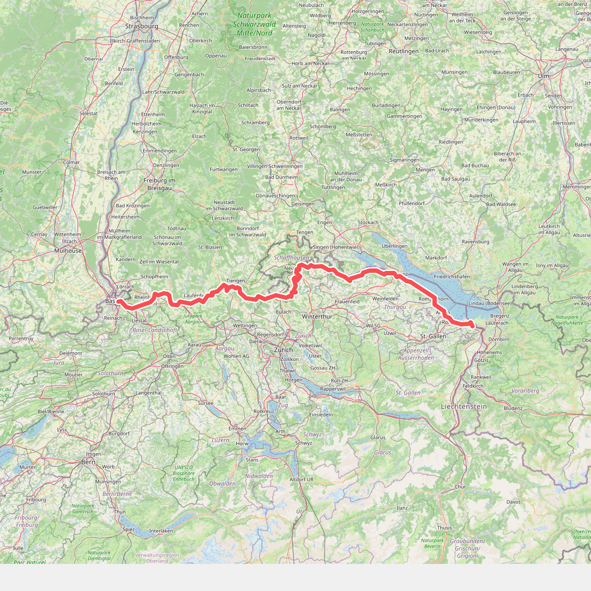
#11. Europäischer Fernwanderweg E5, Schweiz