The best hiking routes in Tauragė County
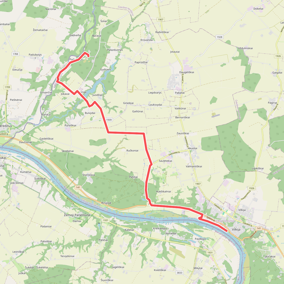
Discover the best walks in Tauragė County. 1 routes on the map, with descriptions, photos and GPX.
About Tauragė County
Tauragė County offers a choice between the wide, flat river valleys of the south and the hilly, lake-dotted uplands of the north. Walking here does not involve high peaks or deep gorges, but rather a transition from the damp, clay-heavy floodplains of the Nemunas River to the sandy, pine-forested ridges further inland. Underfoot, you will mostly encounter packed dirt forestry tracks, sandy forest paths, and occasional wooden boardwalks over peat.
Read more
About Tauragė County
Tauragė County offers a choice between the wide, flat river valleys of the south and the hilly, lake-dotted uplands of the north. Walking here does not involve high peaks or deep gorges, but rather a transition from the damp, clay-heavy floodplains of the Nemunas River to the sandy, pine-forested ridges further inland. Underfoot, you will mostly encounter packed dirt forestry tracks, sandy forest paths, and occasional wooden boardwalks over peat.
Read moreTauragė County offers a choice between the wide, flat river valleys of the south and the hilly, lake-dotted uplands of the north. Walking here does not involve high peaks or deep gorges, but rather a transition from the damp, clay-heavy floodplains of the Nemunas River to the sandy, pine-forested ridges further inland. Underfoot, you will mostly encounter packed dirt forestry tracks, sandy forest paths, and occasional wooden boardwalks over peat.
For those drawn to river landscapes, Panemunių regioninis parkas and Rambyno regioninis parkas follow the Nemunas valley, where the paths are shaped by seasonal spring floods that leave fertile, flat meadows and steep clay bluffs. In contrast, Varnių regioninis parkas in the north sits on a bumpy glacial moraine, where the walking trails wind around peat bogs and shallow lakes, offering a firmer, more undulating terrain dominated by spruce forests.
If you prefer deep, forested river loops, Pagramanāio regioninis parkas features the rapid Akmena and Jũra rivers, where the trails are defined by hanging bridges and exposed clay cliffs. This is a quieter, more enclosed woodland experience compared to the open, culturally shaped parklands along the southern border, making it easier to choose based on whether you prefer broad river views or dense river-valley forests.
Nature areas in Tauragė County
Zoom or pan for more routes