The best hiking routes in Szabolcs-Szatmár-Bereg
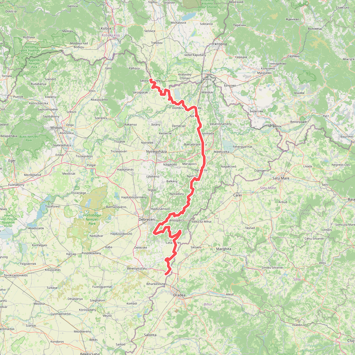
Discover the best walks in Szabolcs-Szatmár-Bereg. 1 routes on the map, with descriptions, photos and GPX.
About Szabolcs-Szatmár-Bereg
Szabolcs-Szatmár-Bereg, located in the far northeastern corner of Hungary, offers a flat, river-carved landscape that lacks the dramatic peaks or deep valleys of mountainous regions. Walkers will find a terrain shaped by the slow-moving Tisza, Szamos, and Túr rivers, where the ground transitions between sandy soils and heavy alluvial clay. The region is characterized by its agricultural fields, ancient orchards, and patches of oak-hornbeam forests rather than vast, unbroken wilderness.
Read more
About Szabolcs-Szatmár-Bereg
Szabolcs-Szatmár-Bereg, located in the far northeastern corner of Hungary, offers a flat, river-carved landscape that lacks the dramatic peaks or deep valleys of mountainous regions. Walkers will find a terrain shaped by the slow-moving Tisza, Szamos, and Túr rivers, where the ground transitions between sandy soils and heavy alluvial clay. The region is characterized by its agricultural fields, ancient orchards, and patches of oak-hornbeam forests rather than vast, unbroken wilderness.
Read moreSzabolcs-Szatmár-Bereg, located in the far northeastern corner of Hungary, offers a flat, river-carved landscape that lacks the dramatic peaks or deep valleys of mountainous regions. Walkers will find a terrain shaped by the slow-moving Tisza, Szamos, and Túr rivers, where the ground transitions between sandy soils and heavy alluvial clay. The region is characterized by its agricultural fields, ancient orchards, and patches of oak-hornbeam forests rather than vast, unbroken wilderness.
In the absence of designated national parks in this specific county, walking here is about following dirt tracks, grassy dikes, and quiet country lanes. In the Bereg plain, the paths often lead through damp meadows and past medieval wooden-steepled churches, where the underfoot is predominantly soft earth. Further south, the Nyírség area introduces a different texture, with rolling sand dunes stabilized by birch and acacia woods, where the sand can make walking slow and demanding.
Choosing a route depends on whether you prefer the river-side dikes or the sandy forest tracks. Late spring, particularly May, brings high water levels to the floodplains, making the dike paths excellent vantage points for observing the wet woodlands, while the sandy forest paths remain drier underfoot. It is a quiet region for walking, where you are more likely to encounter local farmers than crowds of tourists, though the paths near the larger river crossings can be busier during the summer boating season.
Zoom or pan for more routes