

The best hiking routes in Schwyz
Discover the best walks in Schwyz. 220 routes on the map, with descriptions, photos and GPX.
About Schwyz
Schwyz is a canton of stark vertical contrasts, where the flat alluvial plains of the valley floors abruptly meet sheer limestone cliffs. If you prefer gentle, rolling terrain, you should avoid the steep ascents of the central ridges and stick instead to the northern lake shores. The landscape here is heavily shaped by dairy farming, meaning you will constantly cross active pastures on grassy paths and negotiate stiles, rather than walking through untouched wilderness.
Read more
About Schwyz
Schwyz is a canton of stark vertical contrasts, where the flat alluvial plains of the valley floors abruptly meet sheer limestone cliffs. If you prefer gentle, rolling terrain, you should avoid the steep ascents of the central ridges and stick instead to the northern lake shores. The landscape here is heavily shaped by dairy farming, meaning you will constantly cross active pastures on grassy paths and negotiate stiles, rather than walking through untouched wilderness.
Read moreSchwyz is a canton of stark vertical contrasts, where the flat alluvial plains of the valley floors abruptly meet sheer limestone cliffs. If you prefer gentle, rolling terrain, you should avoid the steep ascents of the central ridges and stick instead to the northern lake shores. The landscape here is heavily shaped by dairy farming, meaning you will constantly cross active pastures on grassy paths and negotiate stiles, rather than walking through untouched wilderness.
For a classic alpine experience, the area around the Mythen peaks offers narrow, rocky trails that require a steady foot on exposed limestone ledges. In contrast, the high plateau of the Hoch-Ybrig region features wider, gravelled tracks running through damp moorlands and mountain meadows. Here, the underfoot conditions alternate between hard-packed gravel and soft, peat-like soil, especially where the paths cross drainage channels.
In October, the beech forests on the lower slopes turn a deep copper, contrasting with the grey rock above. While the well-known summit paths attract many visitors on weekends, the forested valleys and lower ridge walks remain much quieter. Do not expect vast, uninhabited forests; this is a working landscape where timber forestry and alpine agriculture are visible from every path.
Zoom or pan for more routes
Hiking routes in Schwyz (220)
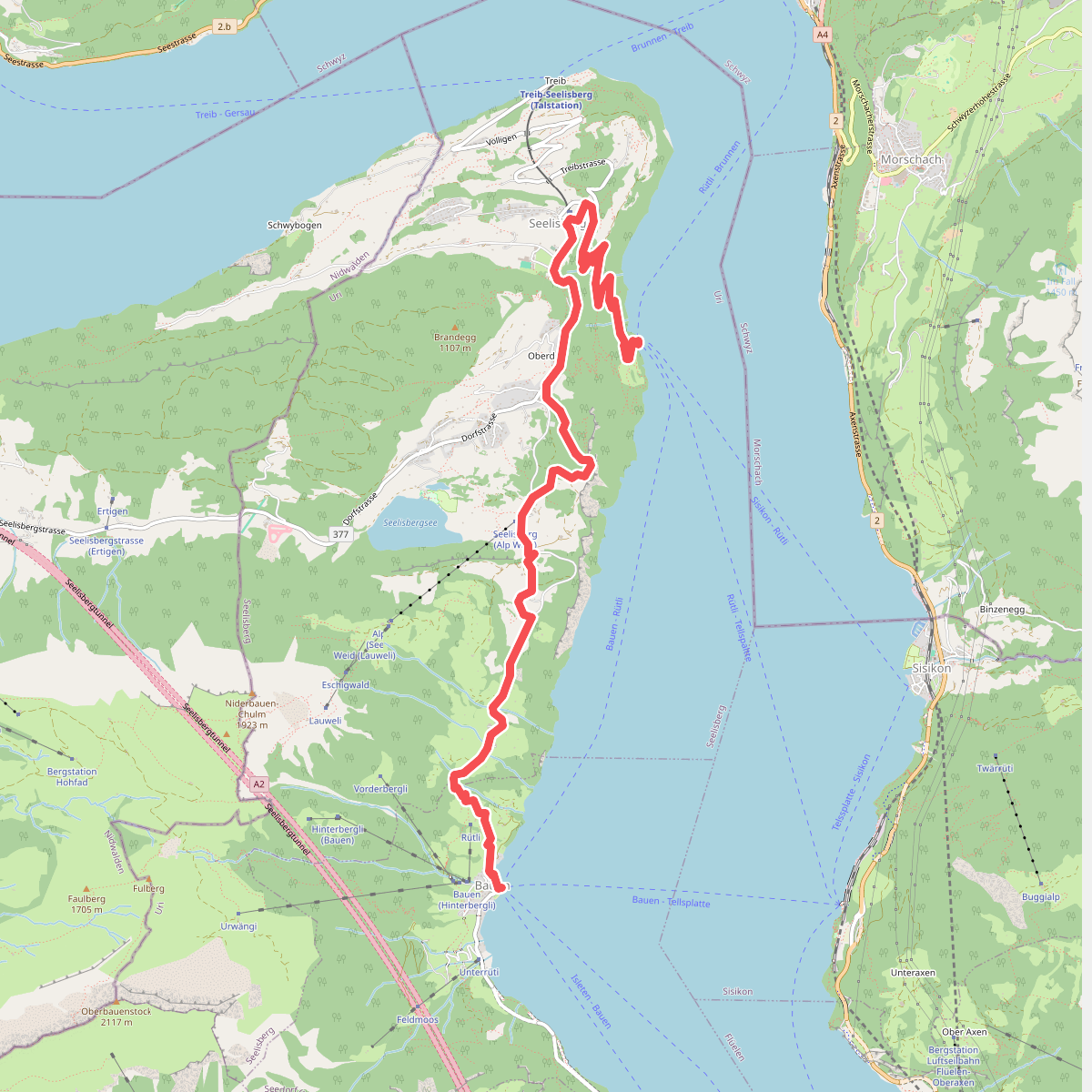
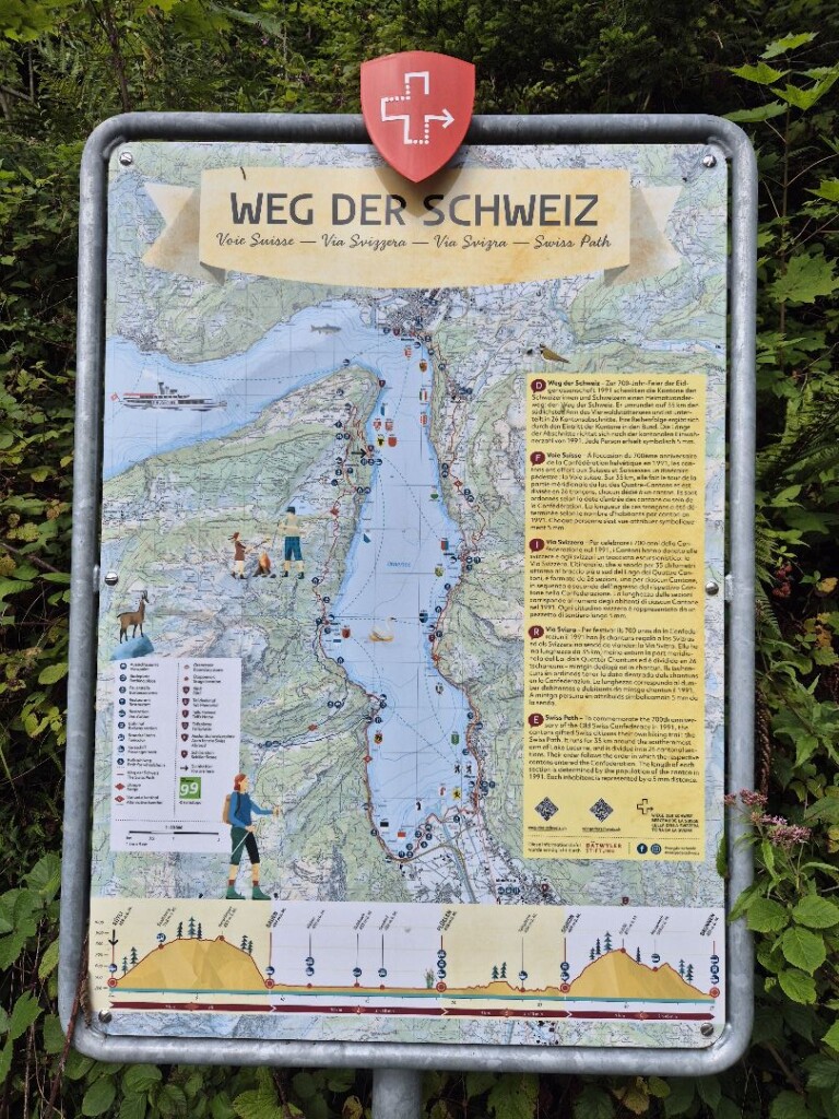
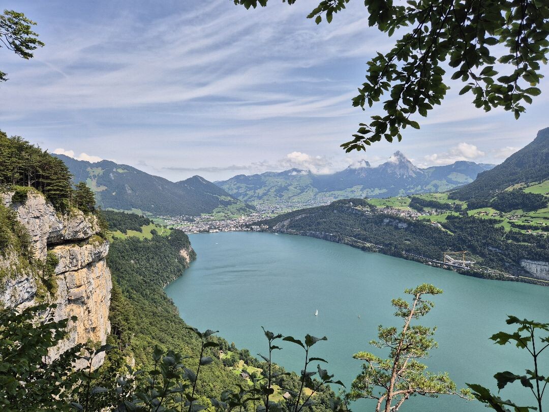
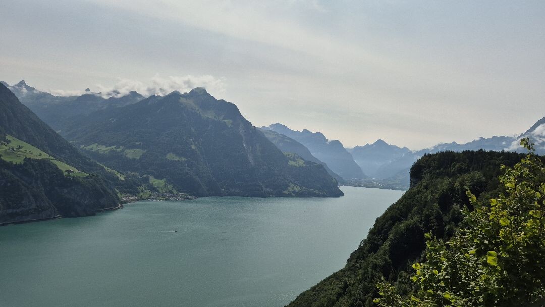
#1. Weg der Schweiz - etappe 1 · Weg der Schweiz etappe 1
Seelisberg,Seedorf (UR)
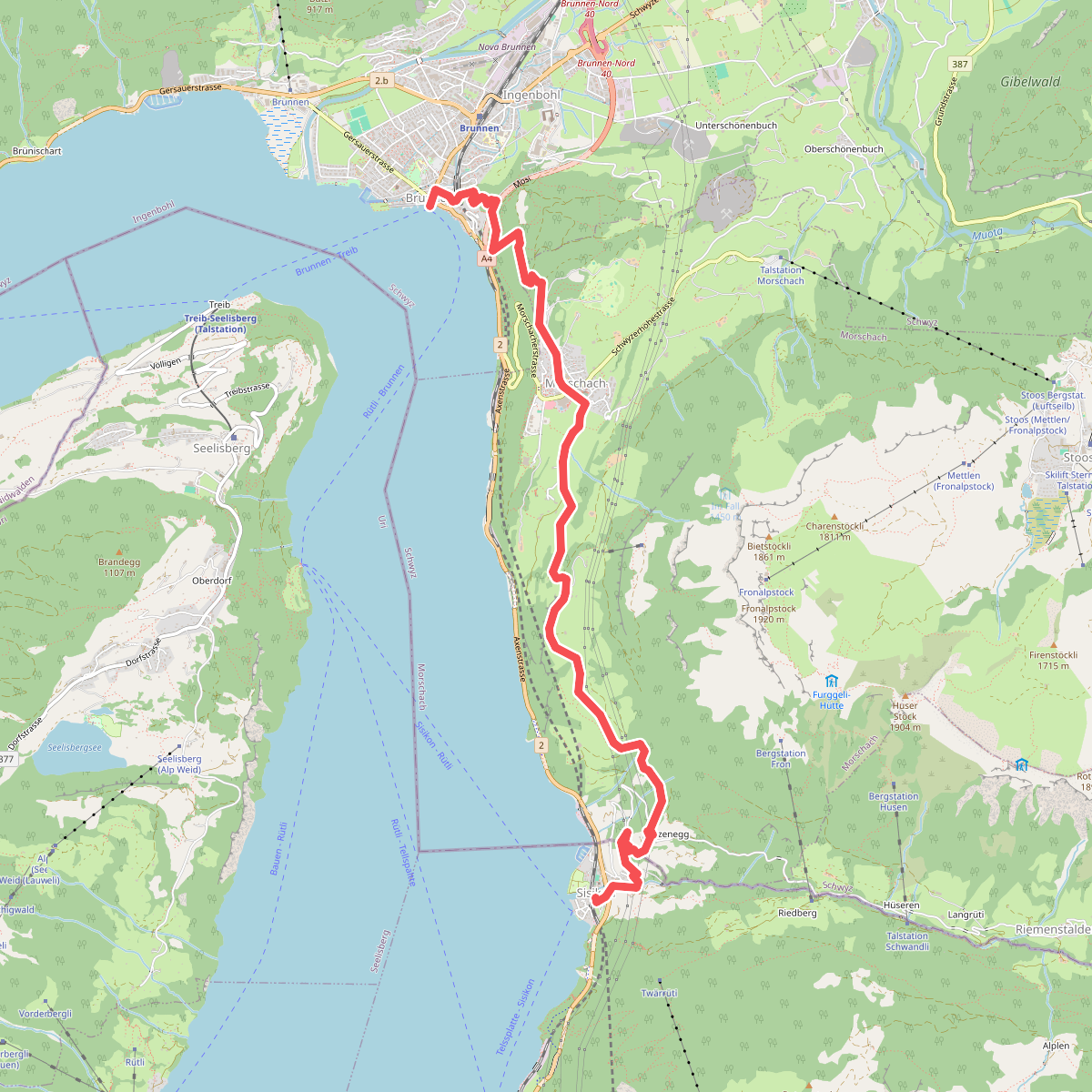
#2. Weg der Schweiz - etappe 4 · Weg der Schweiz etappe 4
Sisikon,Morschach,Ingenbohl
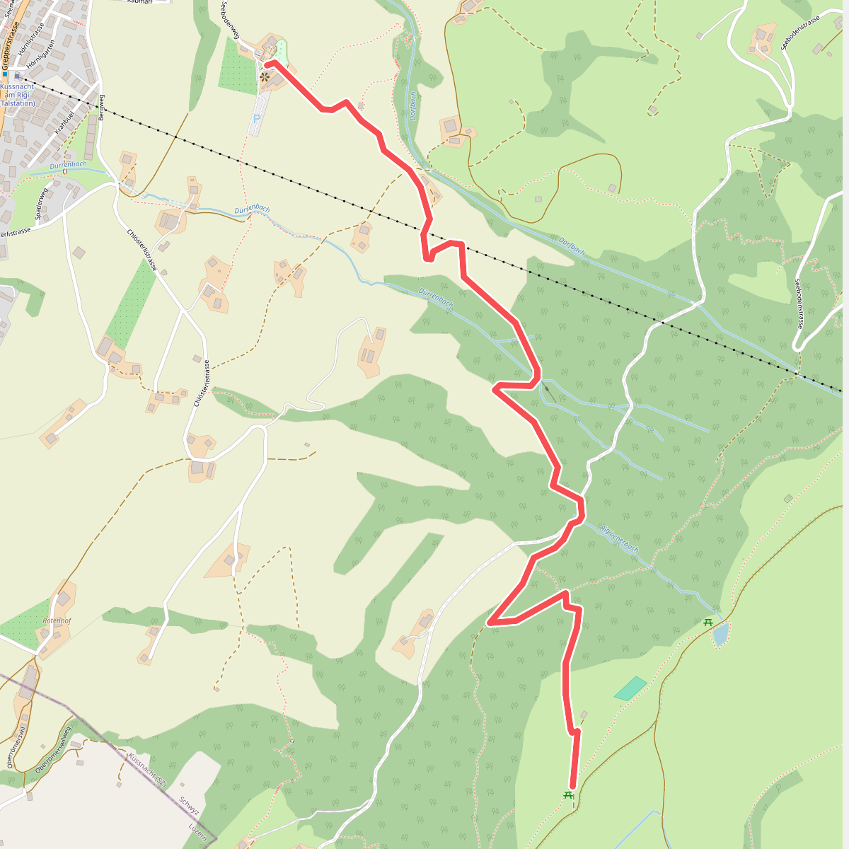
#3. Alpenhof-Schluchegg
Küssnacht (SZ)
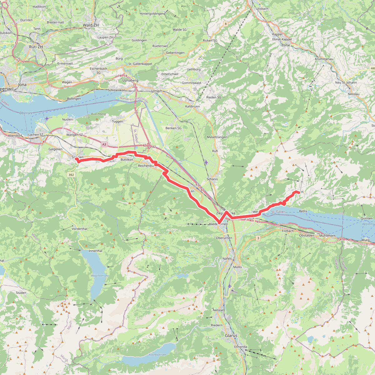
#4. Alpenpanorama-Weg
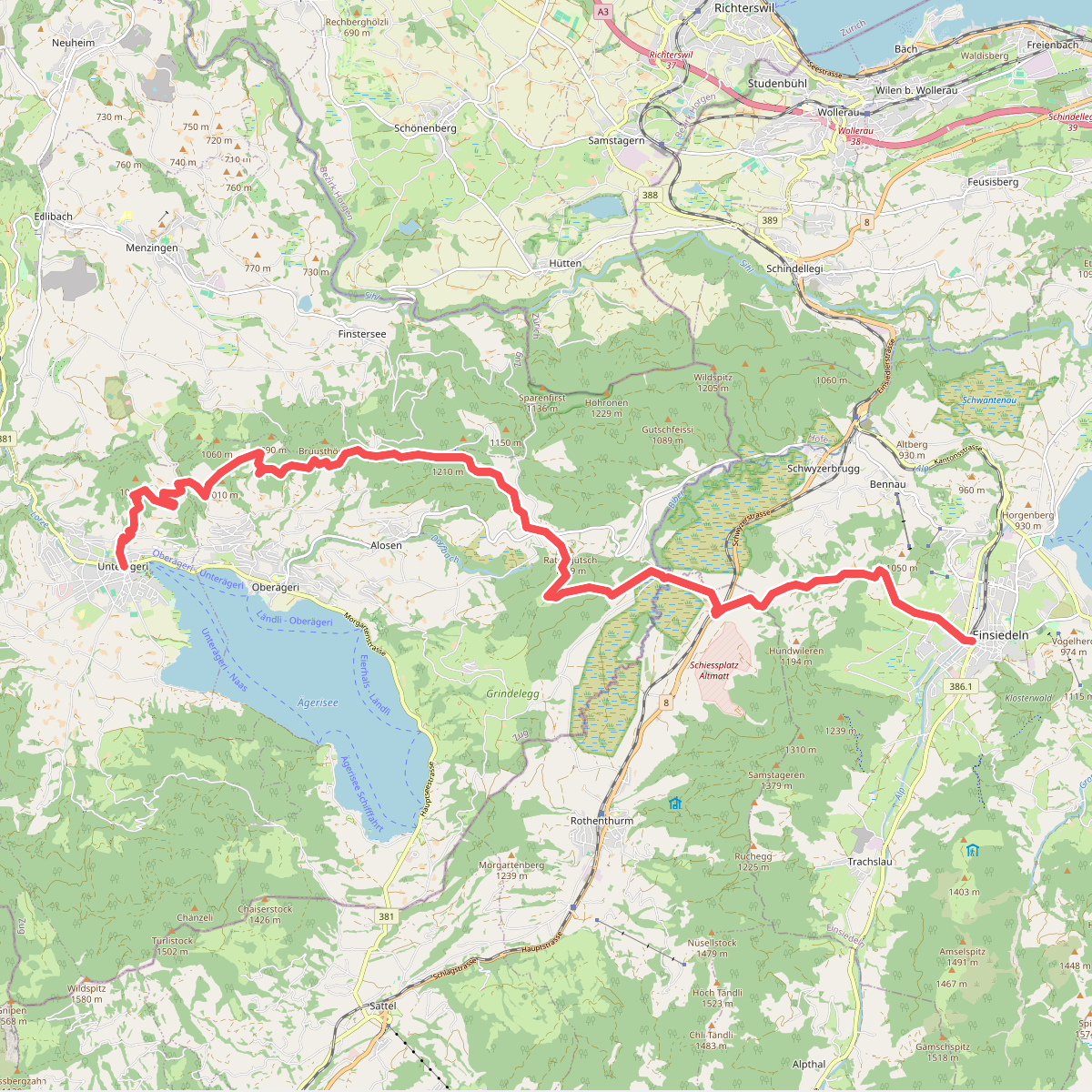
#5. Alpenpanorama-Weg
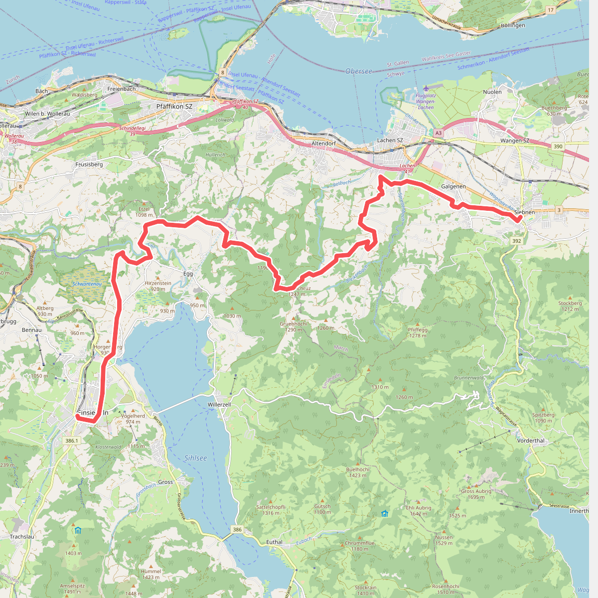
#6. Alpenpanorama-Weg
Altendorf
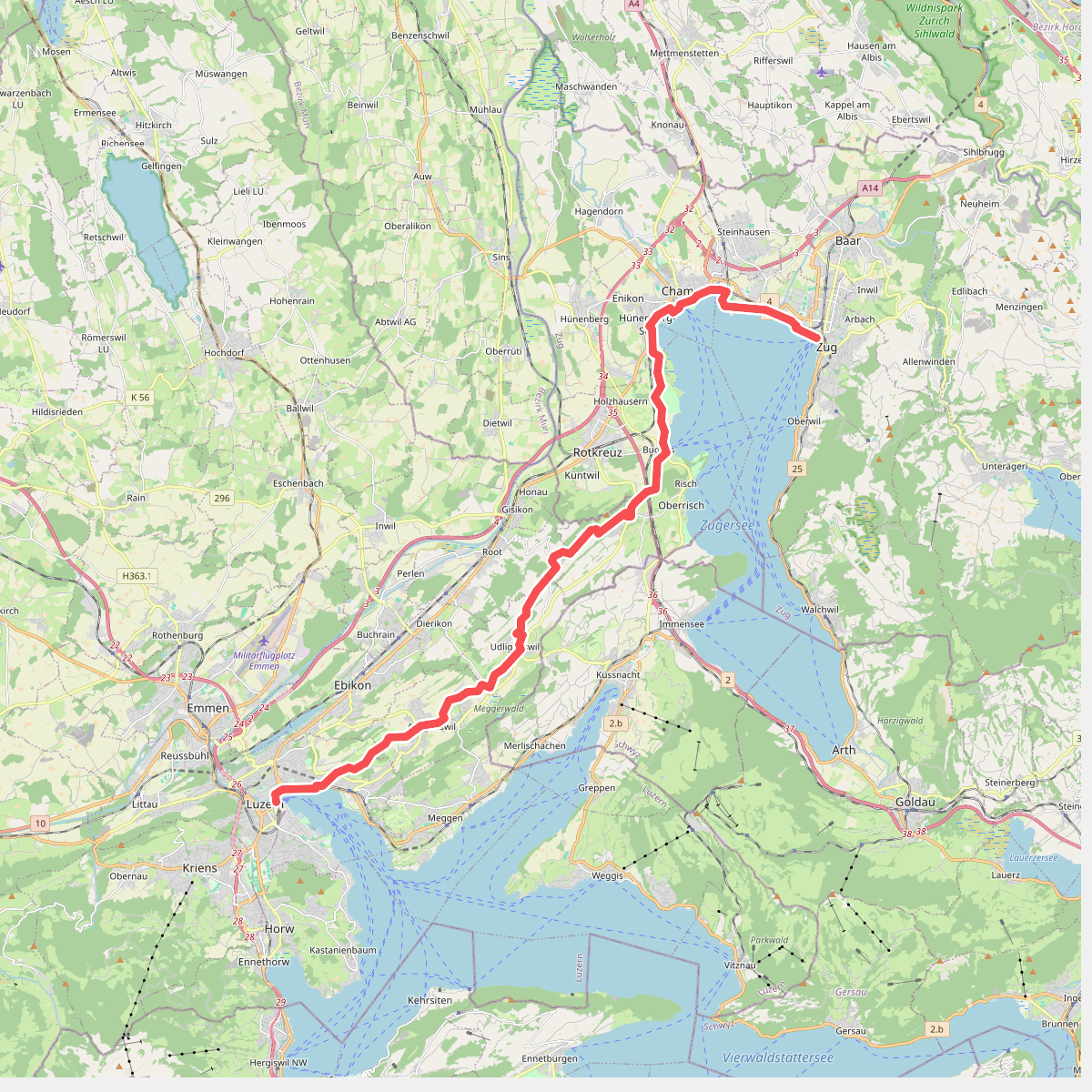
#7. Alpenpanorama-Weg
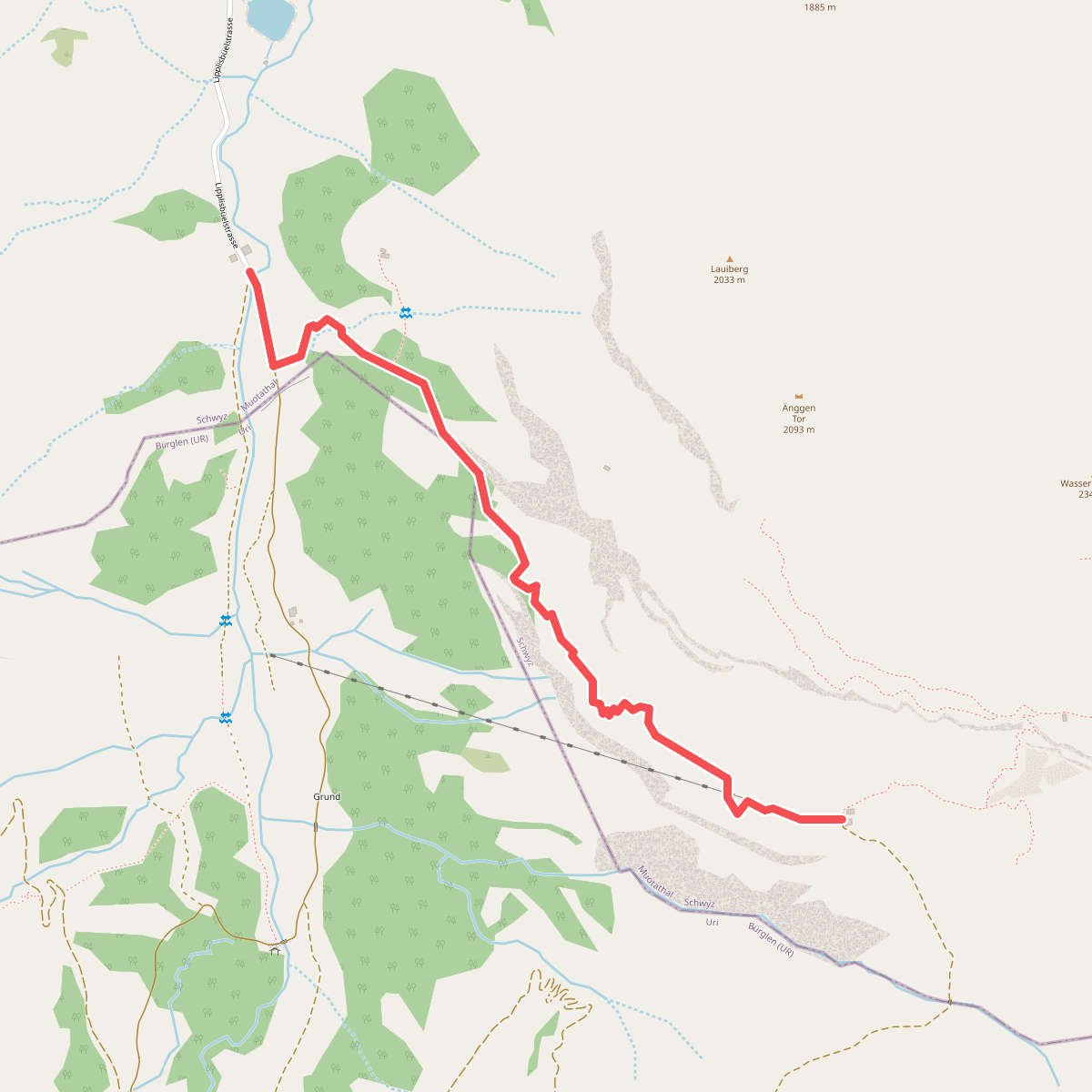
#8. Alt Stäfeli - fixme
Muotathal
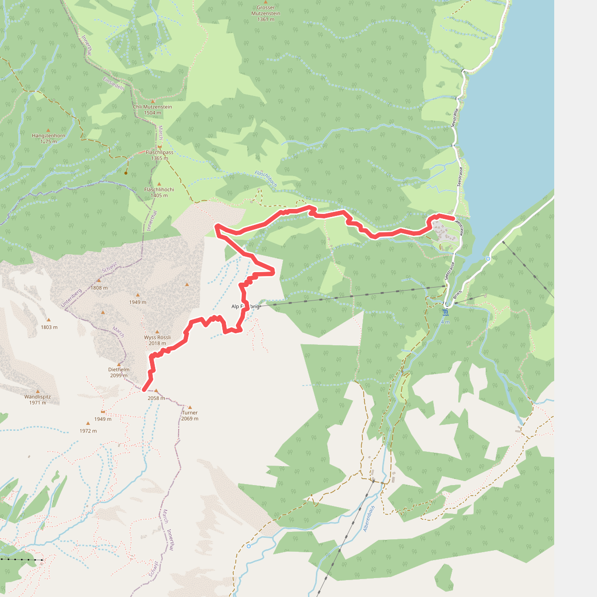
#9. Au-Diethelm
Innerthal
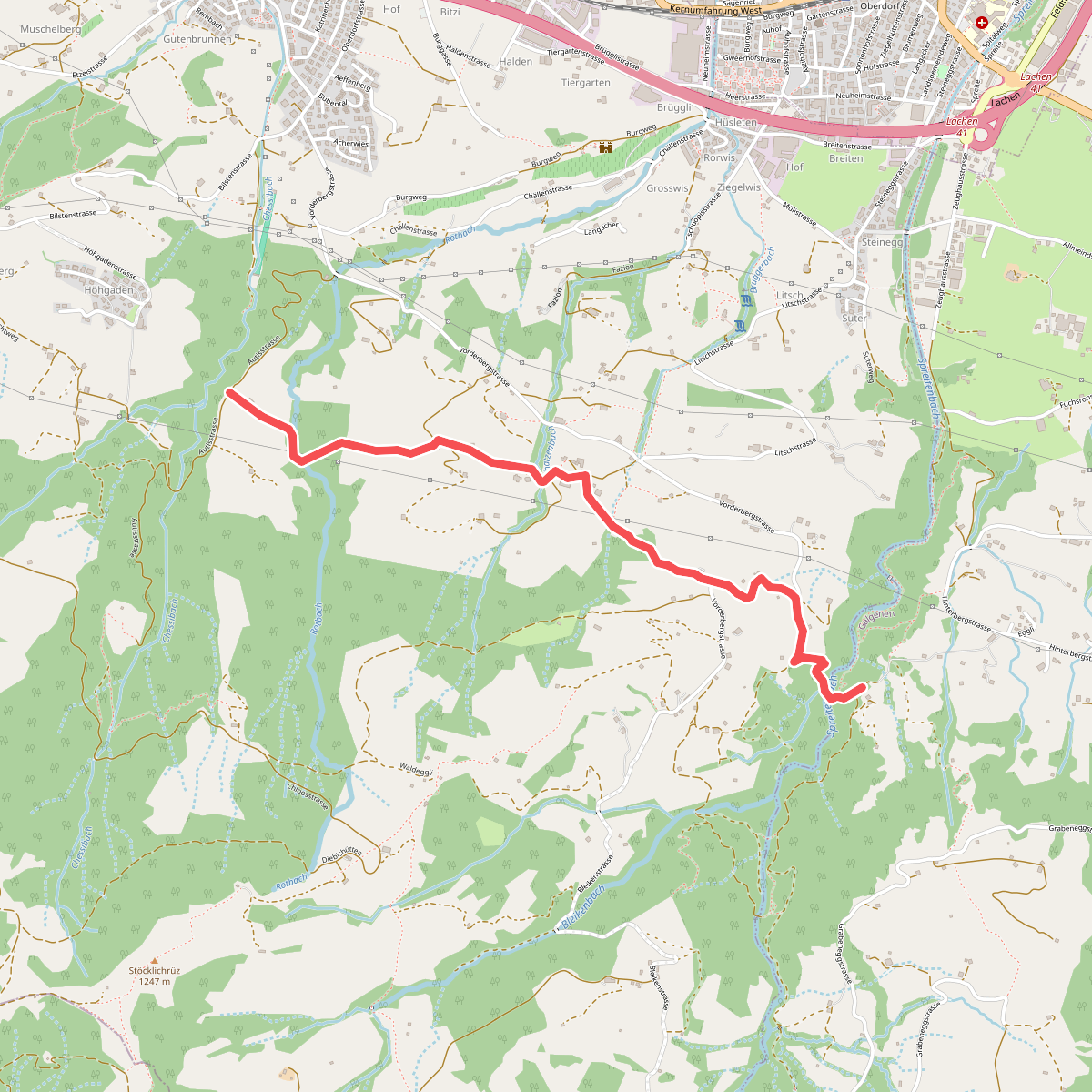
#10. Autis - Risleten
Altendorf,Galgenen
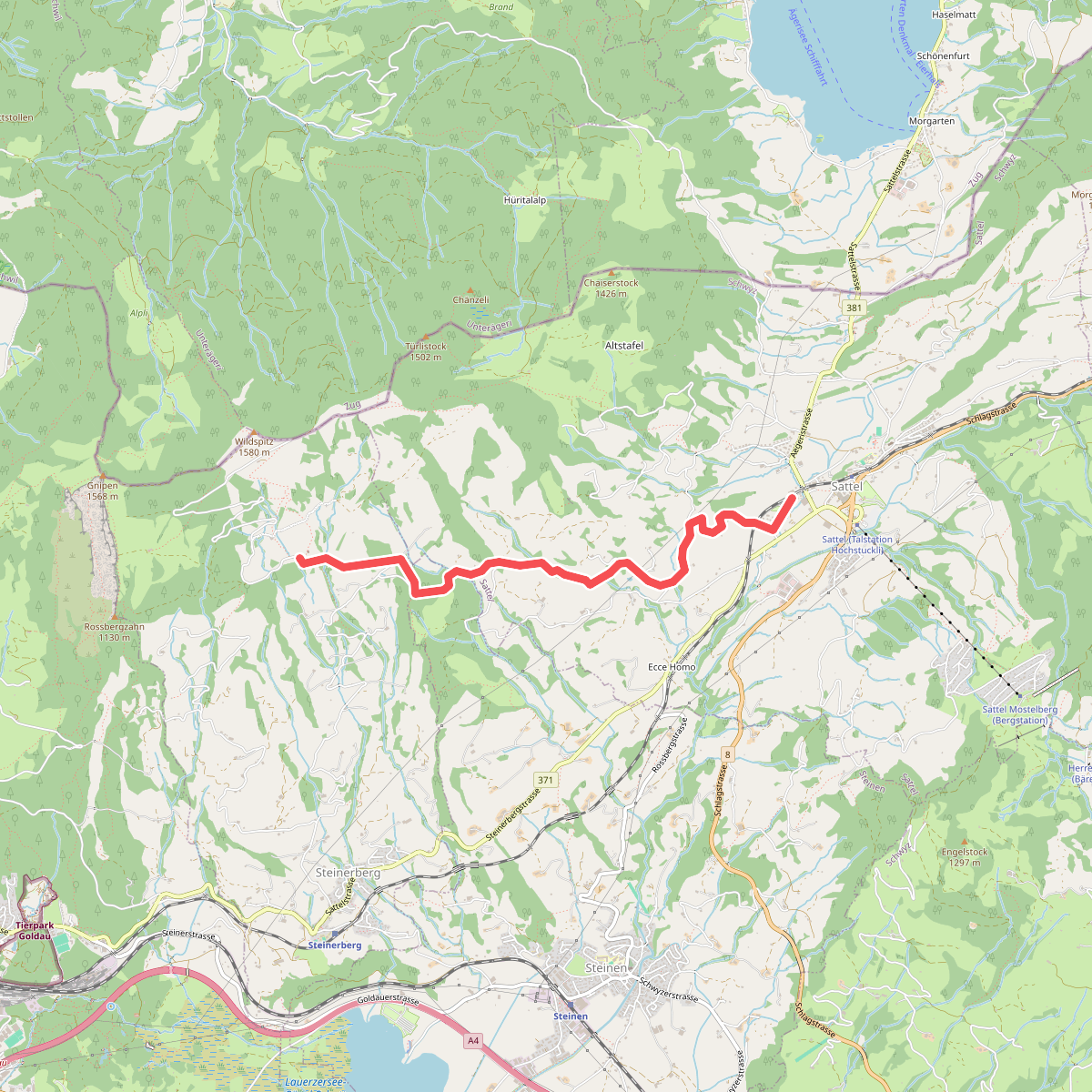
#11. Bahnhof Sattel Ägeri - Obhegkapelle
Sattel,Steinen,Steinerberg
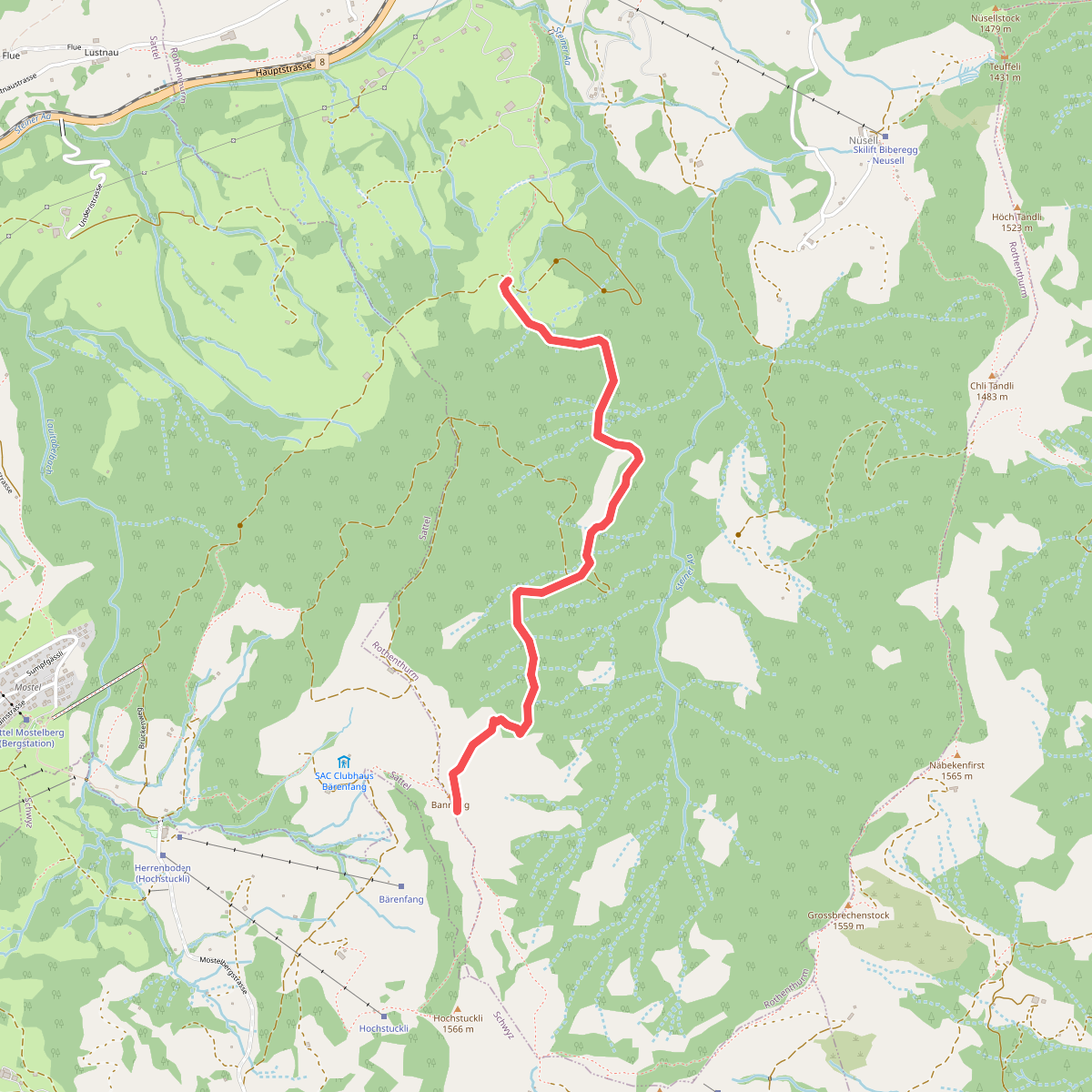
#12. Bannegg - Mäderen
Rothenthurm



