

The best hiking routes in Schaffhausen
Discover the best walks in Schaffhausen. 11 routes on the map, with descriptions, photos and GPX.
About Schaffhausen
Schaffhausen sits where the Rhine bends through a landscape shaped by limestone geology and historic agriculture. Walkers can choose between the flat, paved riverside paths near the city or the steep, wooded hillsides that rise directly from the water. The terrain here is not one of high alpine peaks or deep mountain gorges, but rather a dense network of vineyard terraces, mixed beech forests, and quiet farming plateaus. Underfoot, you will mostly find hard-packed gravel forestry tracks and dirt paths that can become slick clay after wet weather.
Read more
About Schaffhausen
Schaffhausen sits where the Rhine bends through a landscape shaped by limestone geology and historic agriculture. Walkers can choose between the flat, paved riverside paths near the city or the steep, wooded hillsides that rise directly from the water. The terrain here is not one of high alpine peaks or deep mountain gorges, but rather a dense network of vineyard terraces, mixed beech forests, and quiet farming plateaus. Underfoot, you will mostly find hard-packed gravel forestry tracks and dirt paths that can become slick clay after wet weather.
Read moreSchaffhausen sits where the Rhine bends through a landscape shaped by limestone geology and historic agriculture. Walkers can choose between the flat, paved riverside paths near the city or the steep, wooded hillsides that rise directly from the water. The terrain here is not one of high alpine peaks or deep mountain gorges, but rather a dense network of vineyard terraces, mixed beech forests, and quiet farming plateaus. Underfoot, you will mostly find hard-packed gravel forestry tracks and dirt paths that can become slick clay after wet weather.
To the north, the landscape transitions into the Naturpark Südschwarzwald, where the hills become larger and the forests more continuous. Here, the walking routes follow wide gravel tracks through dense pine and fir woods, offering a cooler, more enclosed atmosphere than the open river valley. It is a working forest landscape where you will frequently pass active timber logging sites and quiet clearing pastures rather than manicured parkland.
In October, the deciduous trees on the steep slopes of the Rhine gorge turn a deep yellow, making the riverside paths particularly distinctive. While the trails closest to the famous waterfall can be busy with day-trippers, heading just a few hundred meters uphill into the woods leads to much quieter, shaded paths. Choosing where to walk in Schaffhausen is a matter of deciding between the open, sunny vineyard steps and the deep, damp forest tracks of the northern border.
Nature areas in Schaffhausen
Zoom or pan for more routes
Hiking routes in Schaffhausen (11)
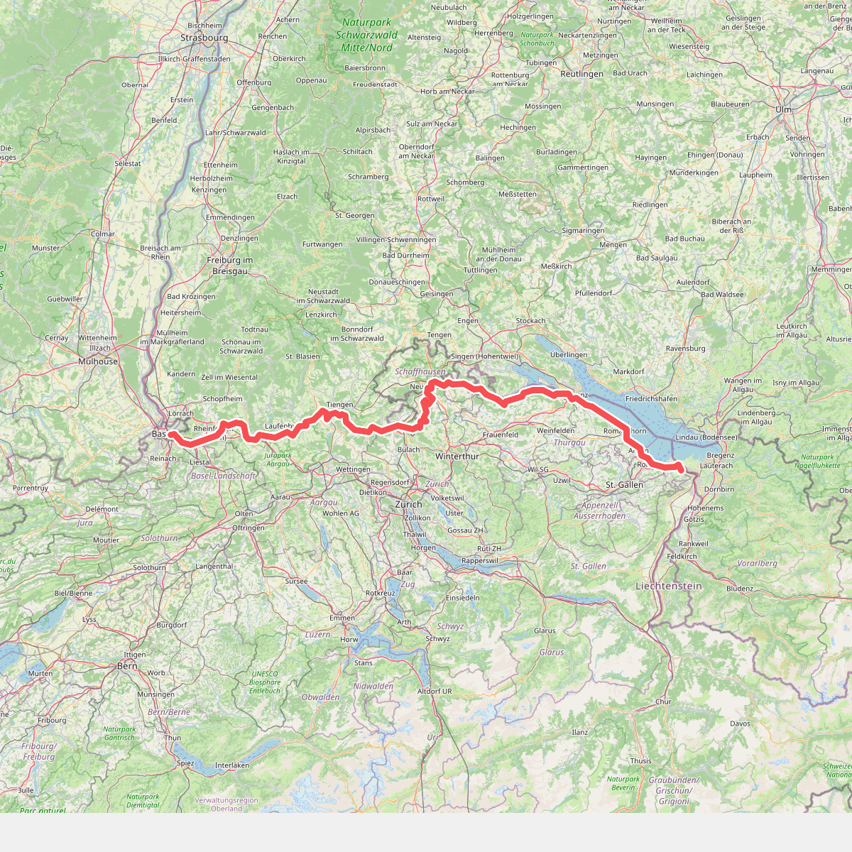
#1. Europäischer Fernwanderweg E5, Schweiz
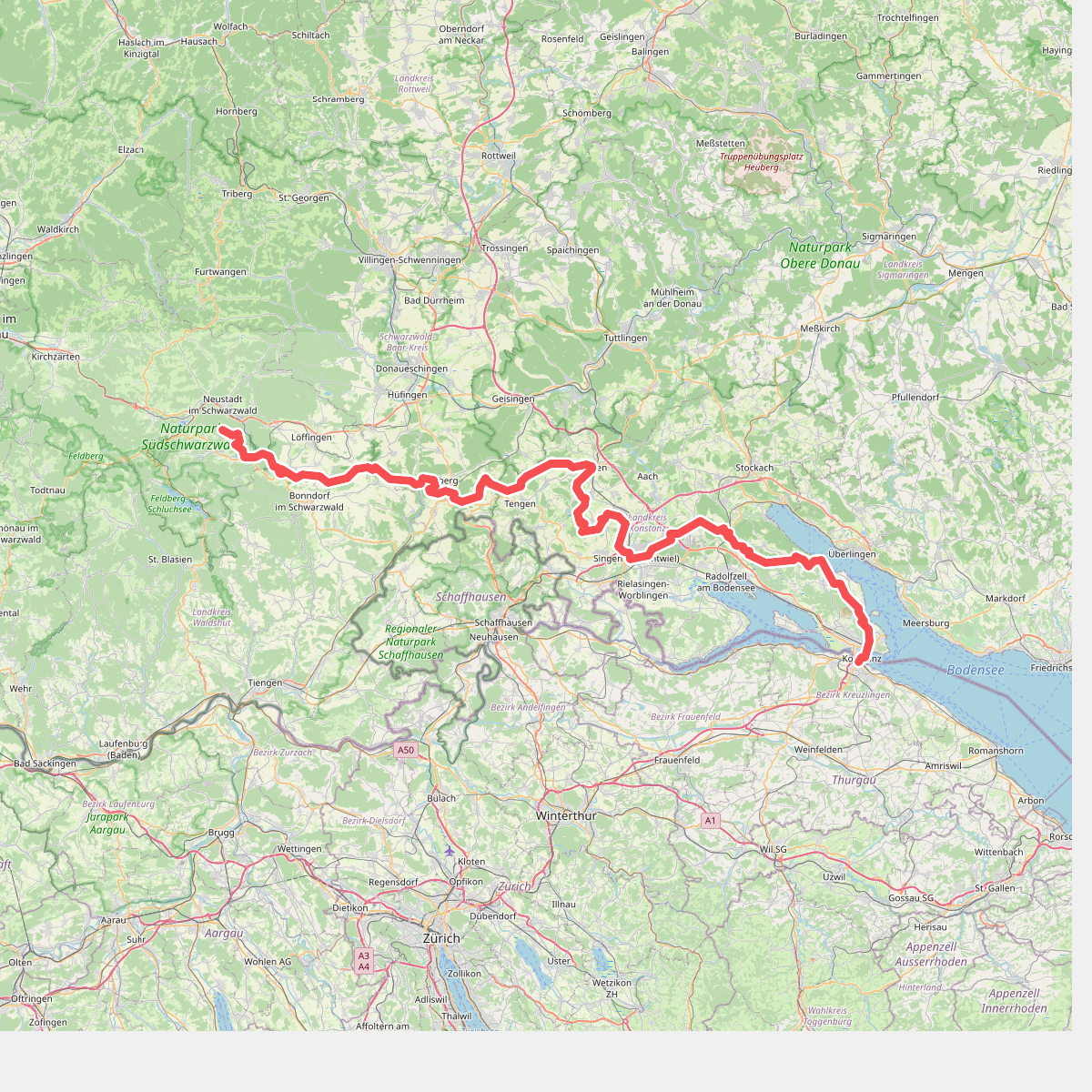
#2. European Long distance path E1 - part Germany, Baden-Wuerttemberg (region Schwarzwald south)
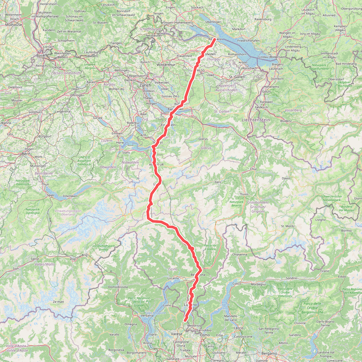
#3. European Long distance path E1 - part Switzerland
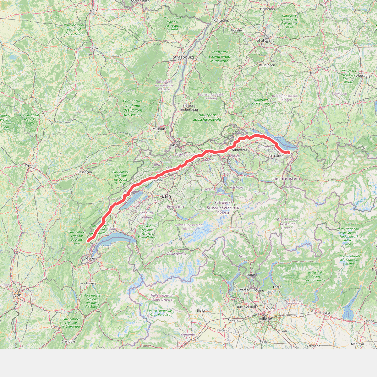
#4. European long distance path E4 - part Switzerland
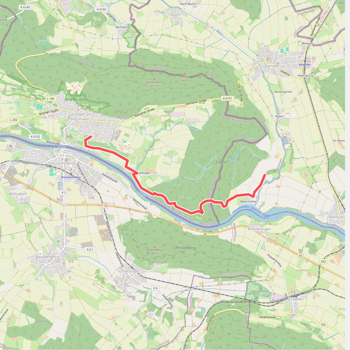
#5. Hegauer Kegelspiel: Grenzgänger
Gailingen am Hochrhein,Ramsen
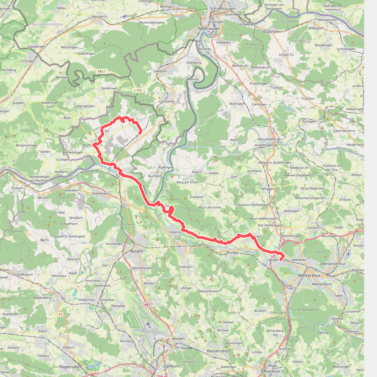
#6. Lebendiger Weinweg
Winterthur,Neftenbach,Dättlikon,Freienstein-Teufen,Eglisau,Hüntwangen,Wil (ZH),Rafz
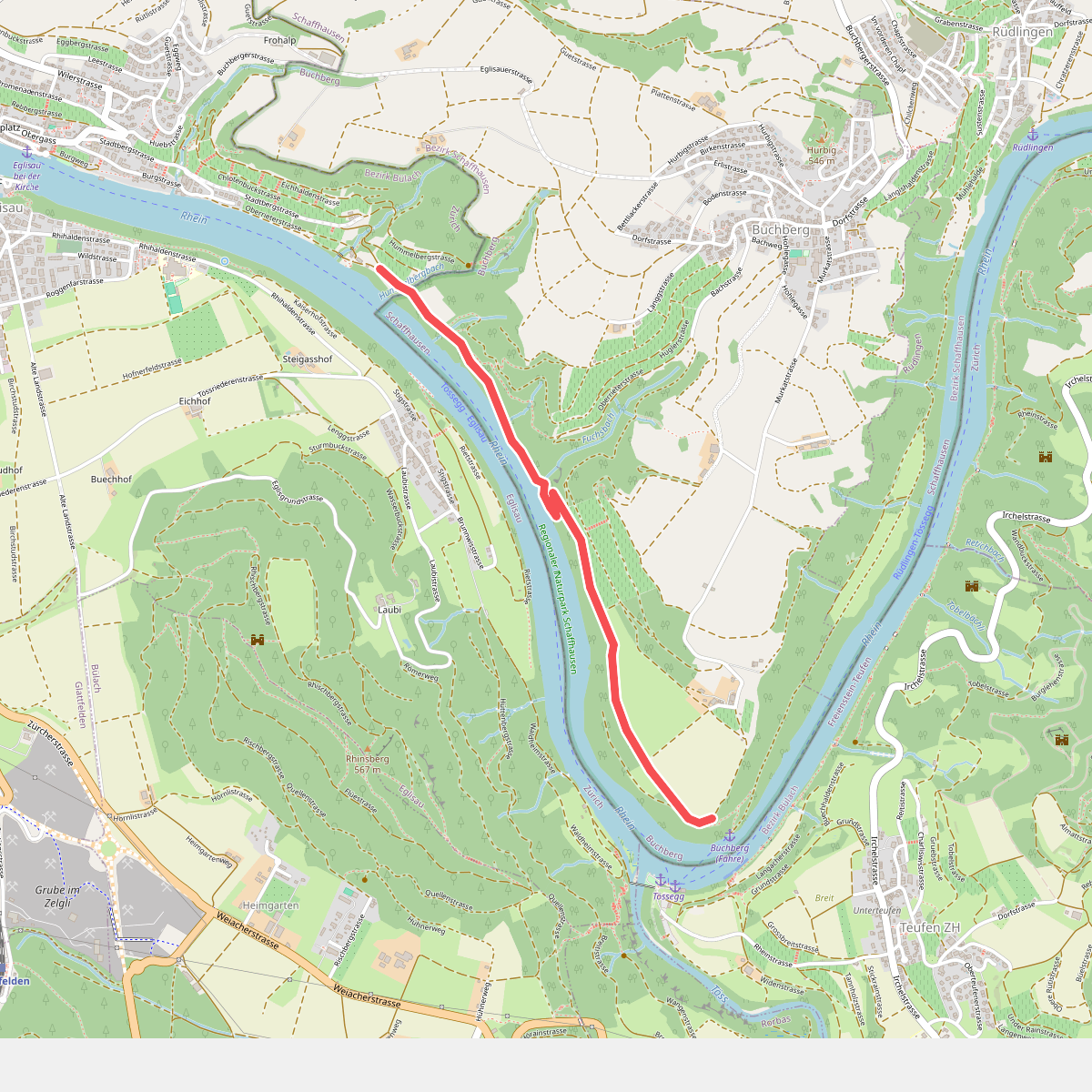
#7. Murkathof - Oberriet
Buchberg
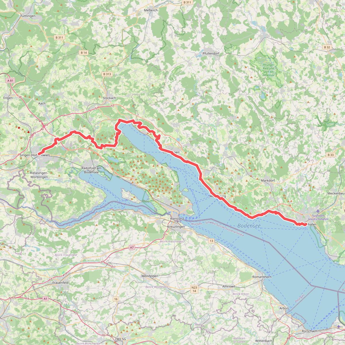
#8. Nord Süd Trail, Abschnitt Singen (Hohentwiel) - Friedrichshafen
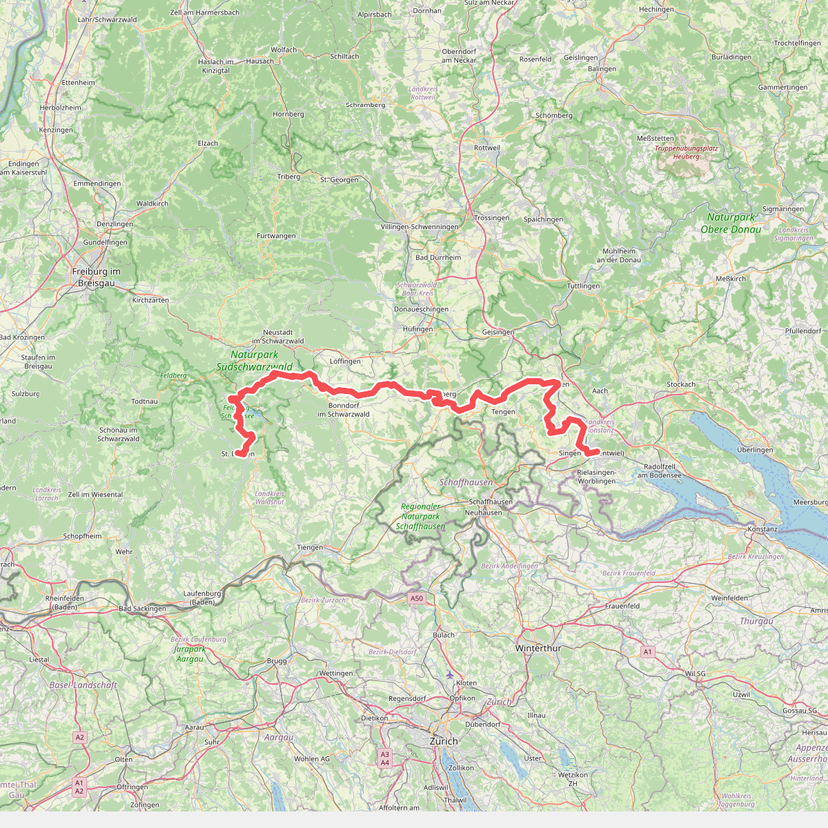
#9. Nord Süd Trail, Abschnitt St. Blasien - Singen (Hohentwiel)
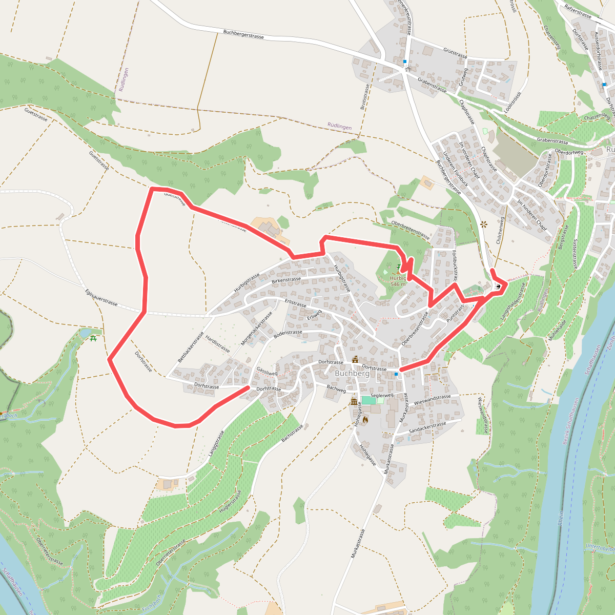
#10. Panoramaweg Buchberg
Buchberg,Rüdlingen
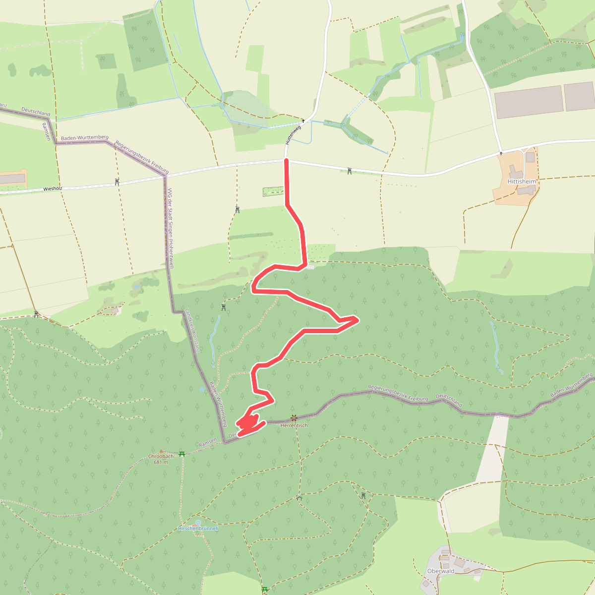
#11. Wolfacker - Serpentinenweg
Rielasingen-Worblingen



