

The best hiking routes in Rhineland-Palatinate
Discover the best walks in Rhineland-Palatinate. 1968 routes on the map, with descriptions, photos and GPX.
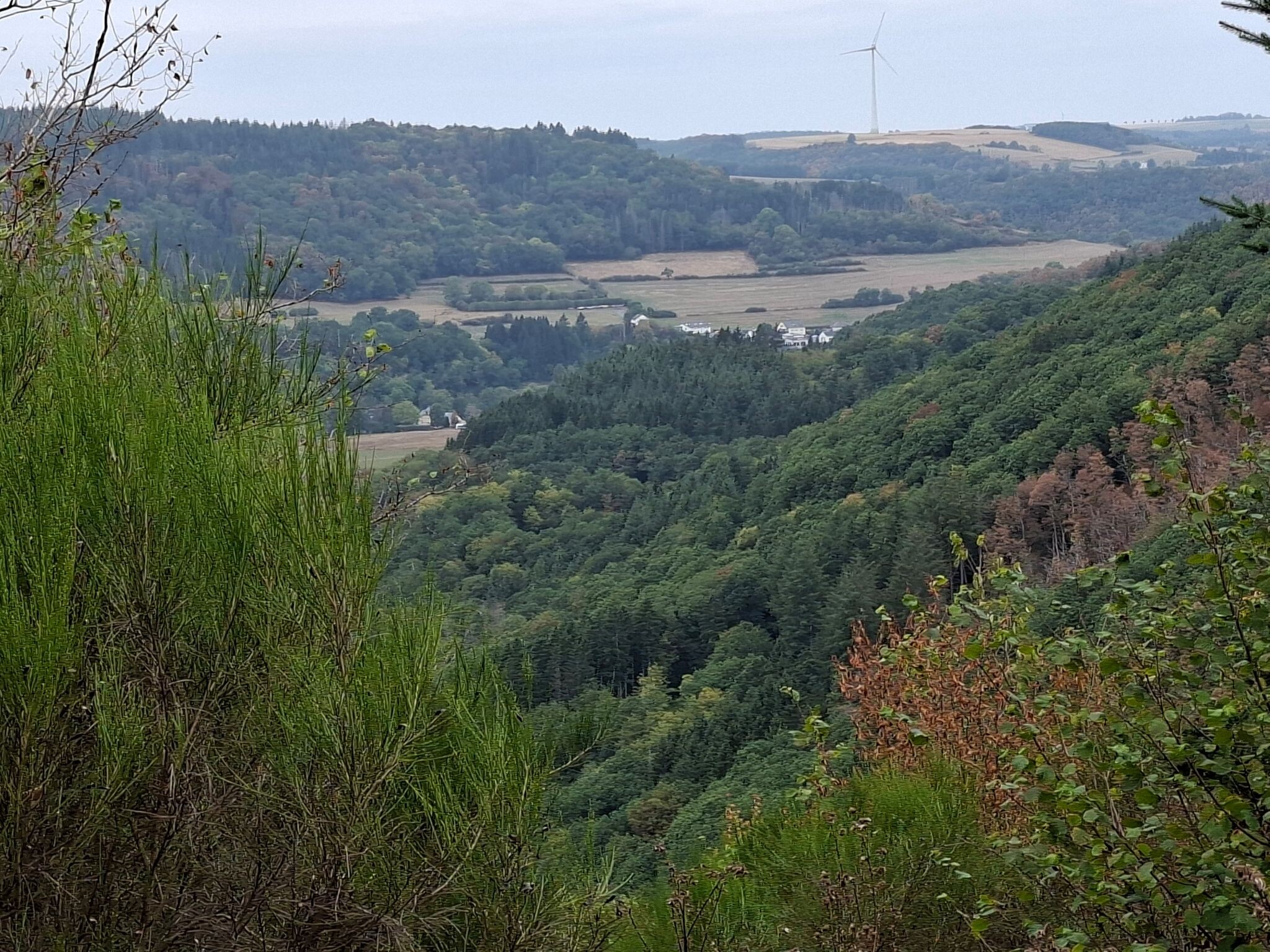
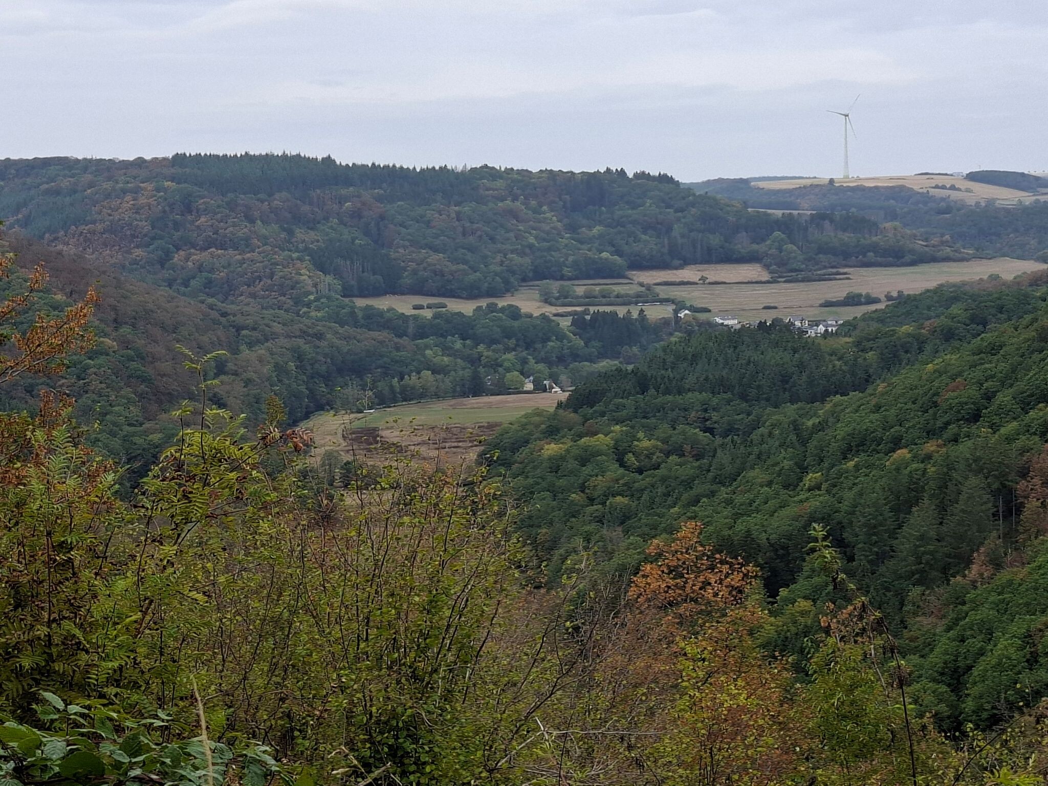
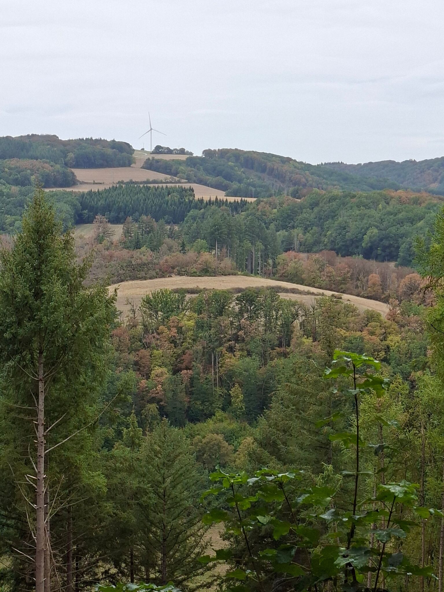
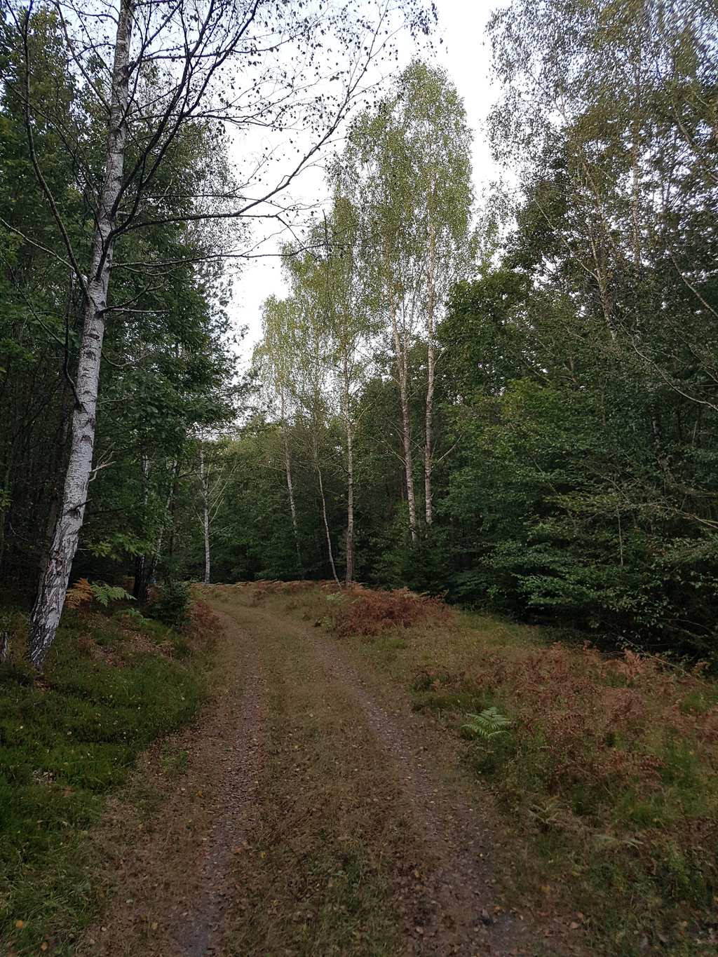
About Rhineland-Palatinate
Rhineland-Palatinate offers two distinct walking landscapes separated by the Moselle Valley. To the north, the Natur- und Geopark Vulkaneifel features a volcanic terrain where you walk around circular crater lakes and over porous volcanic gravel. This area is characterized by its open, rolling fields and steep, forested crater rims. Further west, the Naturpark Hohes Venn-Eifel presents a flatter plateau with peat bogs and wooden boardwalks, which can feel exposed and cool in October when the heather fades.
Read more
About Rhineland-Palatinate
Rhineland-Palatinate offers two distinct walking landscapes separated by the Moselle Valley. To the north, the Natur- und Geopark Vulkaneifel features a volcanic terrain where you walk around circular crater lakes and over porous volcanic gravel. This area is characterized by its open, rolling fields and steep, forested crater rims. Further west, the Naturpark Hohes Venn-Eifel presents a flatter plateau with peat bogs and wooden boardwalks, which can feel exposed and cool in October when the heather fades.
Read moreRhineland-Palatinate offers two distinct walking landscapes separated by the Moselle Valley. To the north, the Natur- und Geopark Vulkaneifel features a volcanic terrain where you walk around circular crater lakes and over porous volcanic gravel. This area is characterized by its open, rolling fields and steep, forested crater rims. Further west, the Naturpark Hohes Venn-Eifel presents a flatter plateau with peat bogs and wooden boardwalks, which can feel exposed and cool in October when the heather fades.
To the south, the landscape rises into the dense forests of the Nationalpark Hunsrück-Hochwald and the sprawling Saar-Hunsrück area. Here, the paths are dominated by quartzite ridges, scree slopes, and damp beech woods. Walking in these southern parks involves steady climbs rather than sharp peaks, with the underfoot conditions shifting between soft pine needles and rocky trail sections.
Choose the northern parks if you prefer walking through agricultural valleys punctuated by volcanic landforms. Opt for the southern forests of Saar-Hunsrück if you want long, continuous woodland stretches with fewer open vistas and more rugged, stony paths.
Nature areas in Rhineland-Palatinate
Zoom or pan for more routes
Hiking routes in Rhineland-Palatinate (1,968)
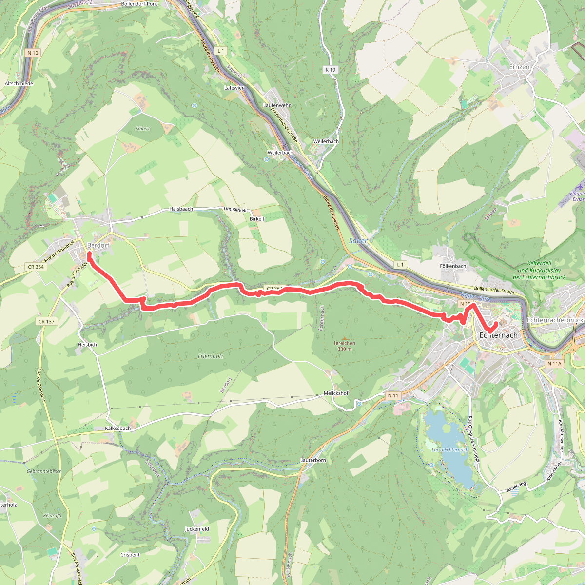
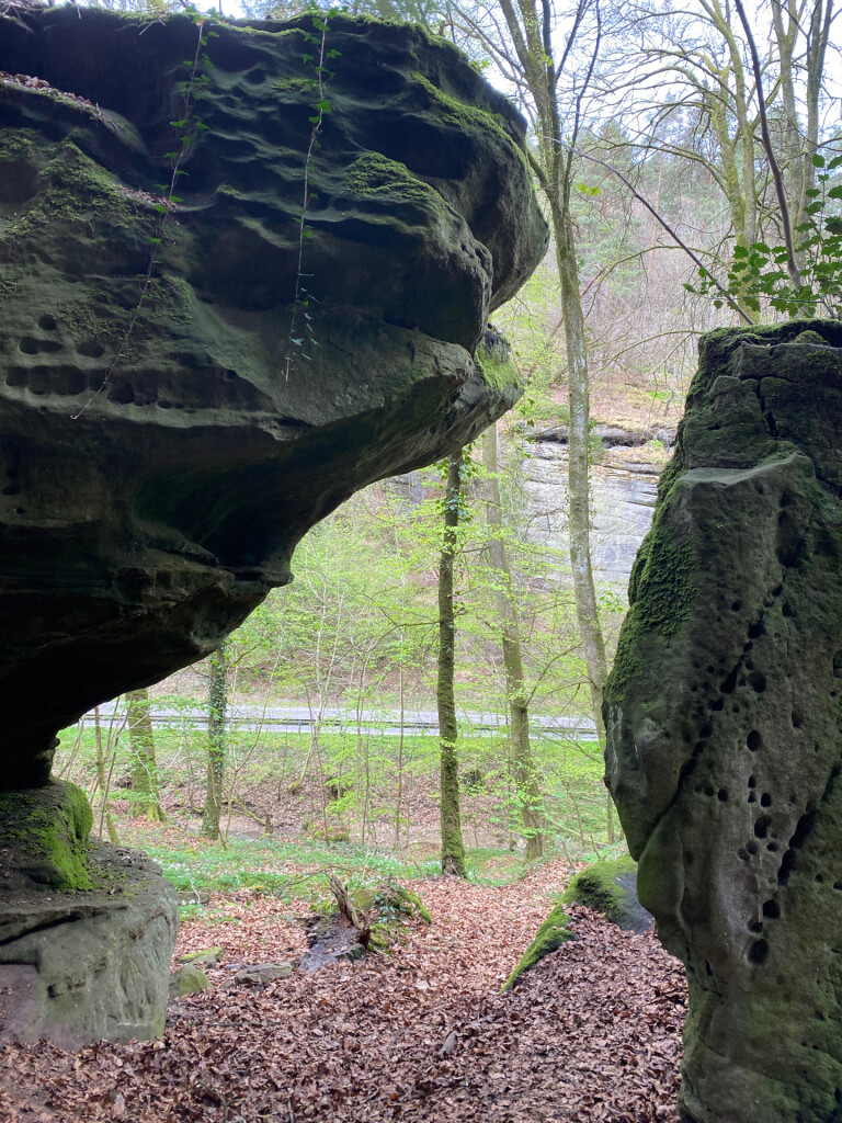
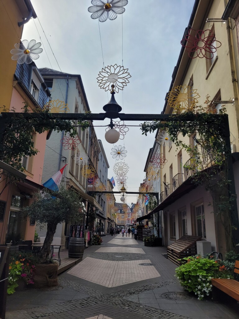
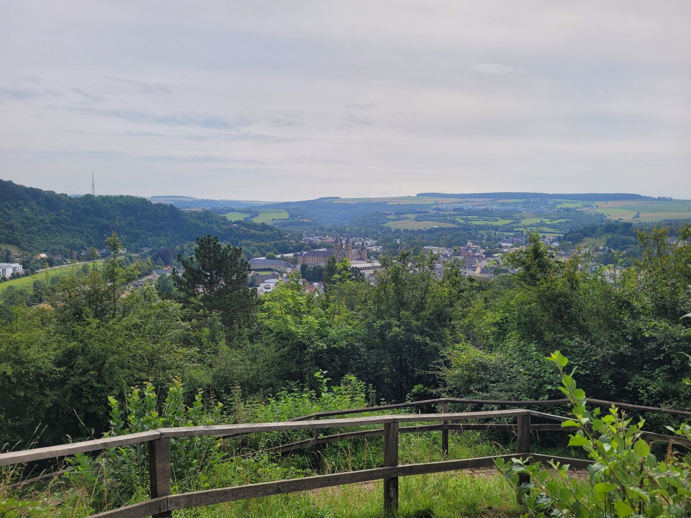
#1. Echternach - Berdorf · Mullerthal Trail etappe 5
Berdorf,Echternach
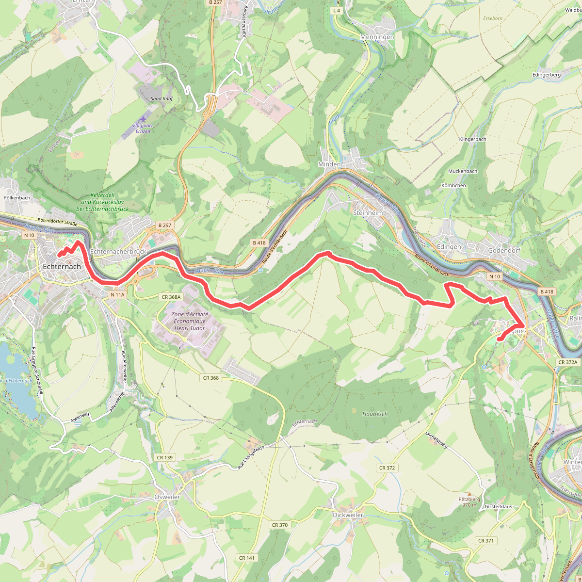
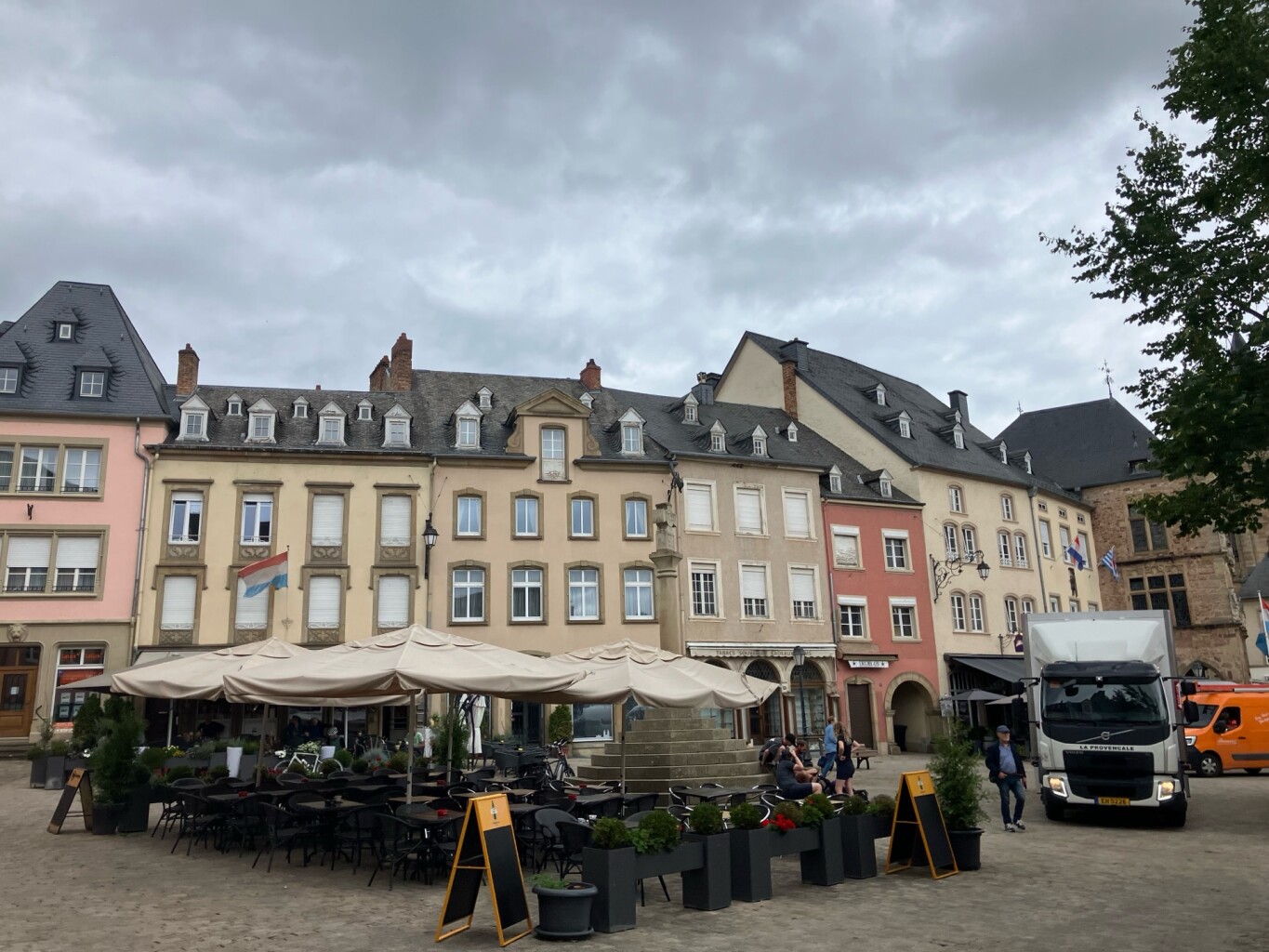
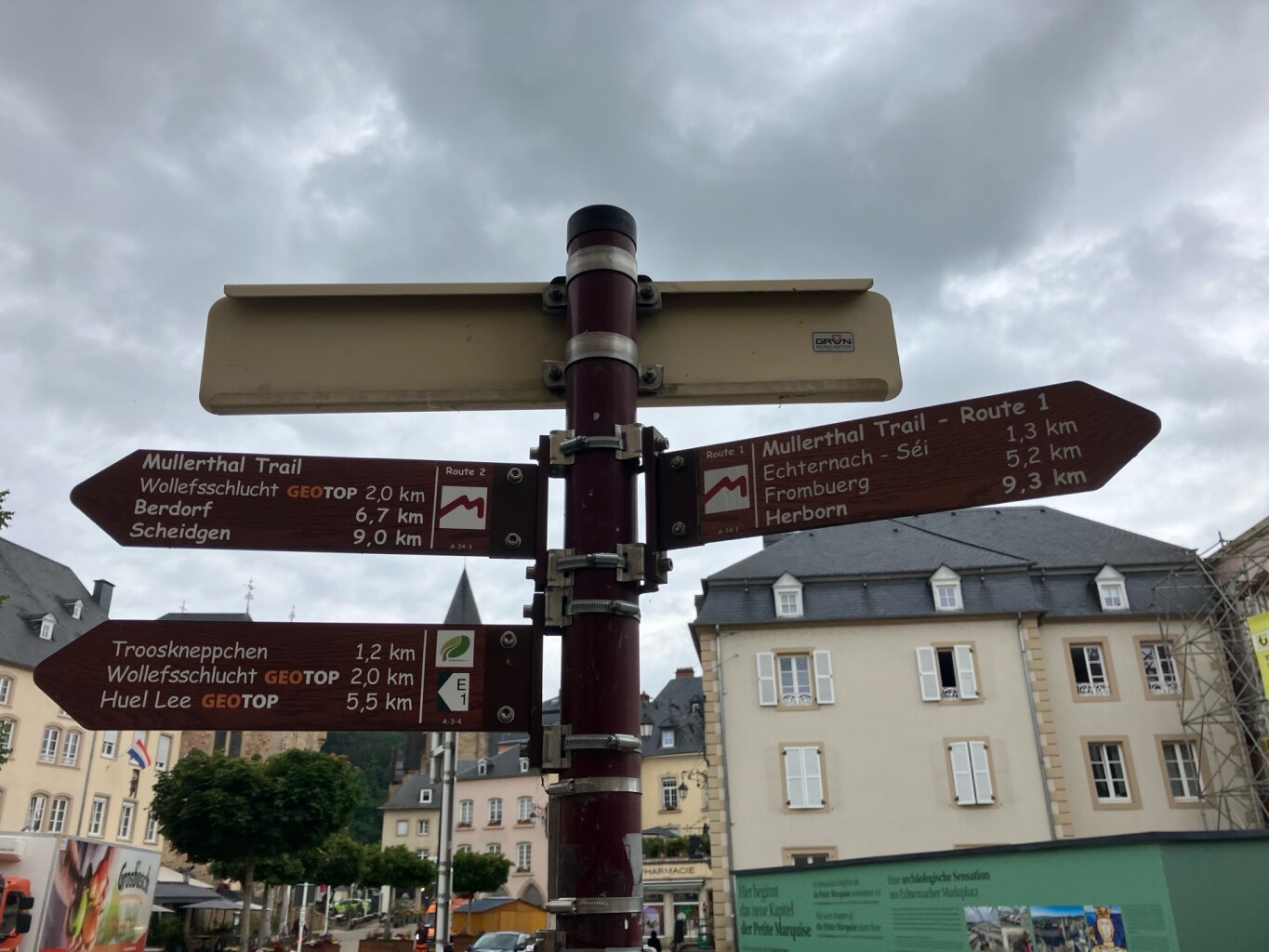
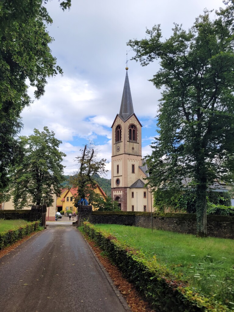
#2. Echternach - Rosport · Mullerthal Trail etappe 1
Rosport-Mompach,Echternach
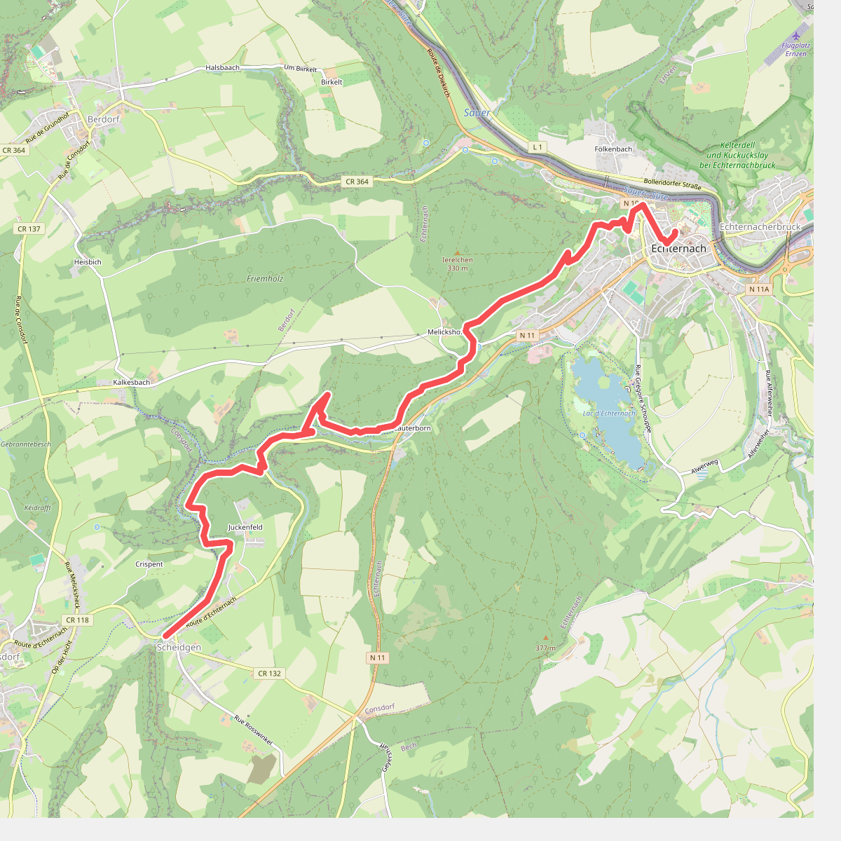
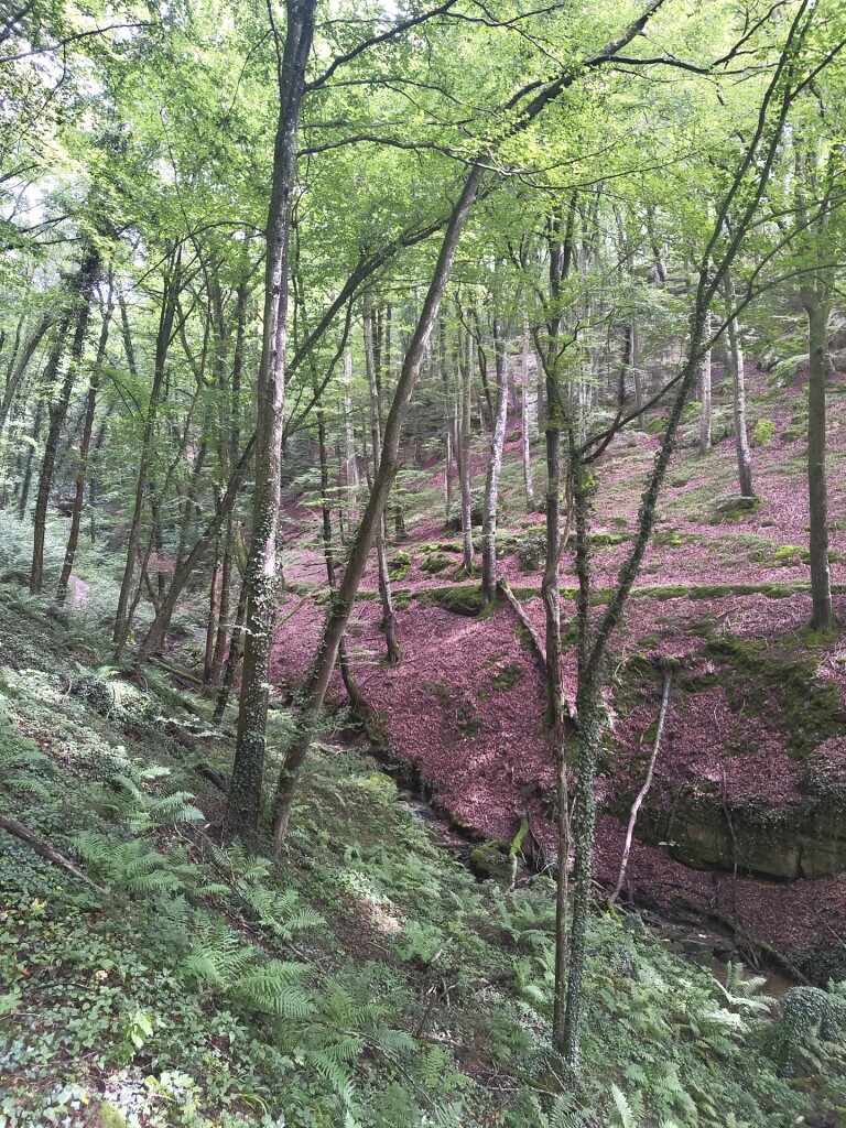
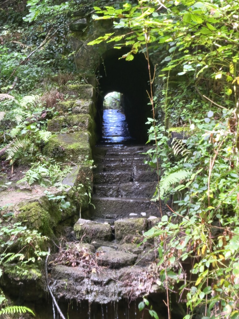
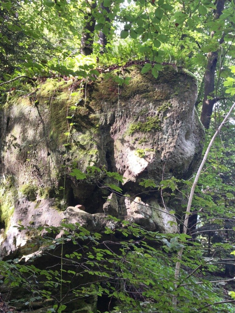
#3. Scheidgen - Echternach · Mullerthal Trail etappe 13
Echternach,Consdorf
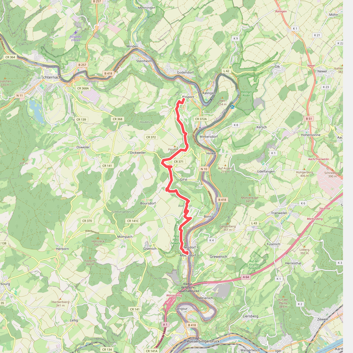
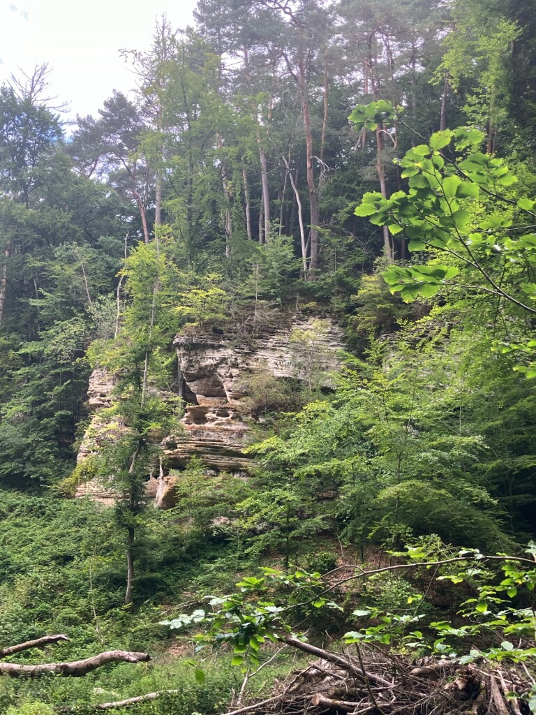
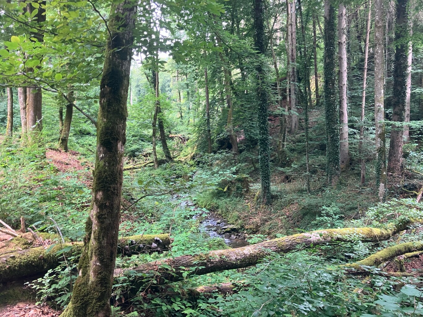
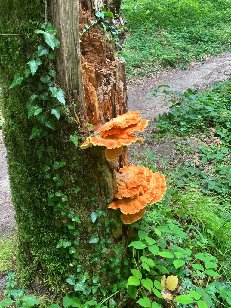
#4. Rosport - Moersdorf · Mullerthal Trail etappe 2
Rosport-Mompach
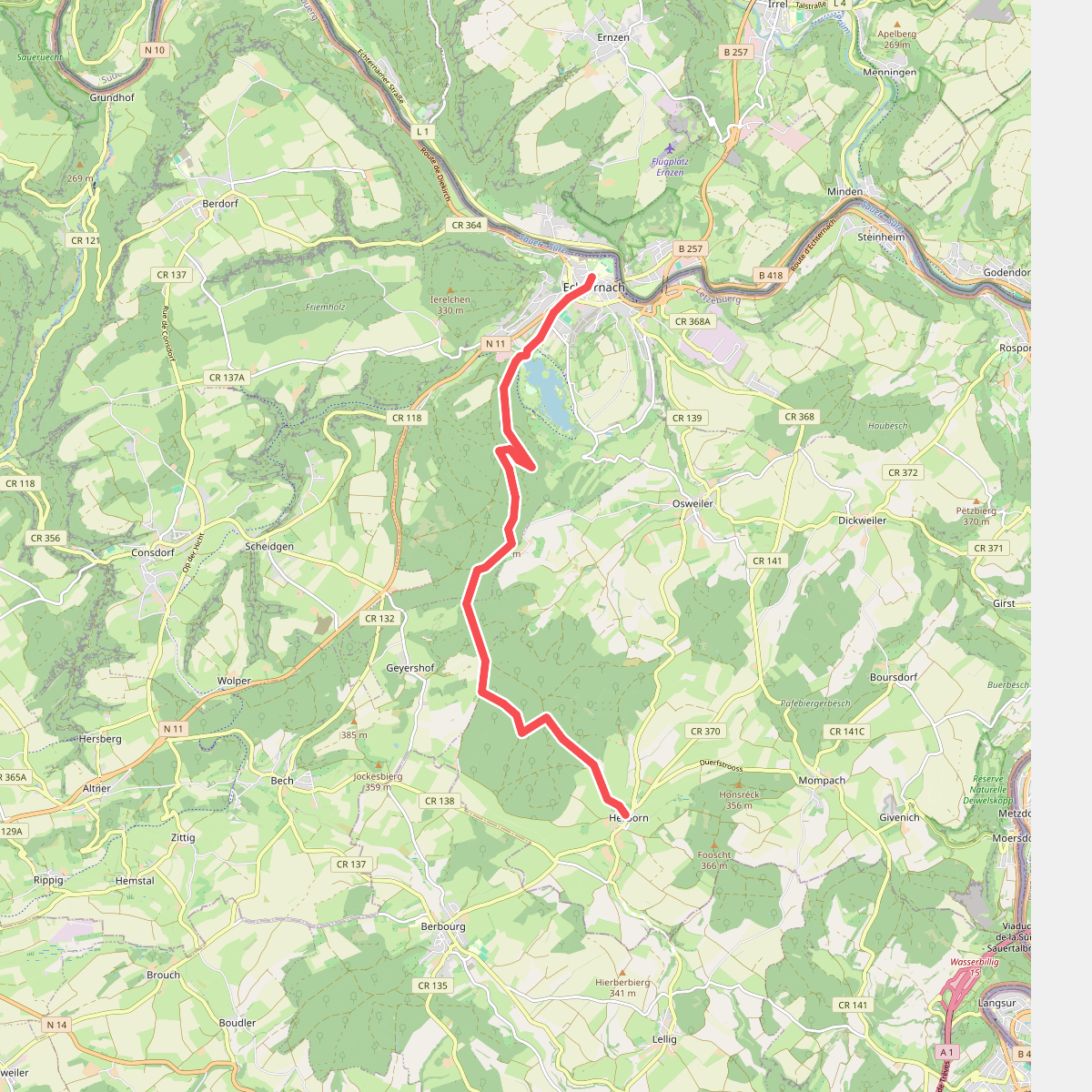
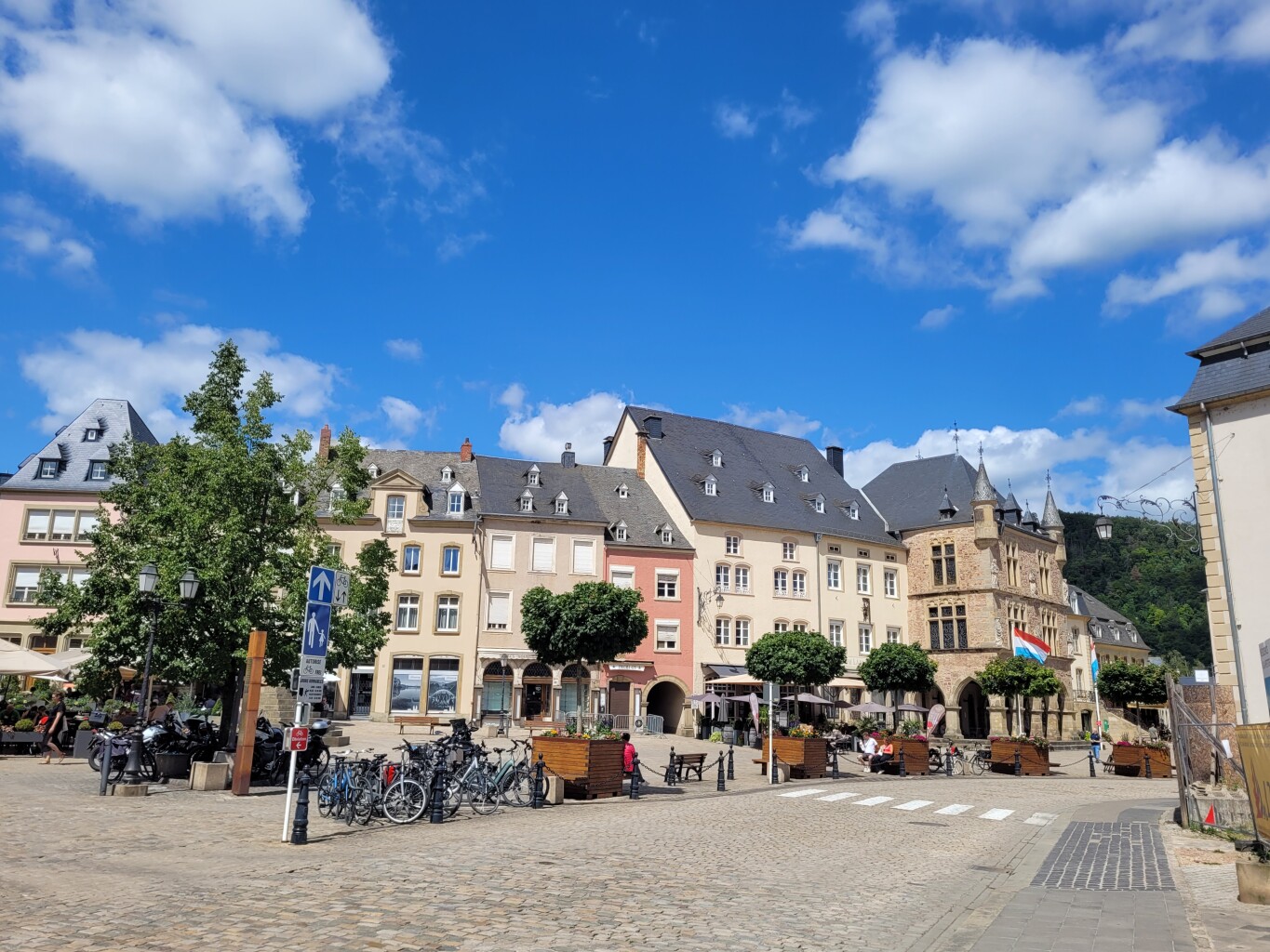
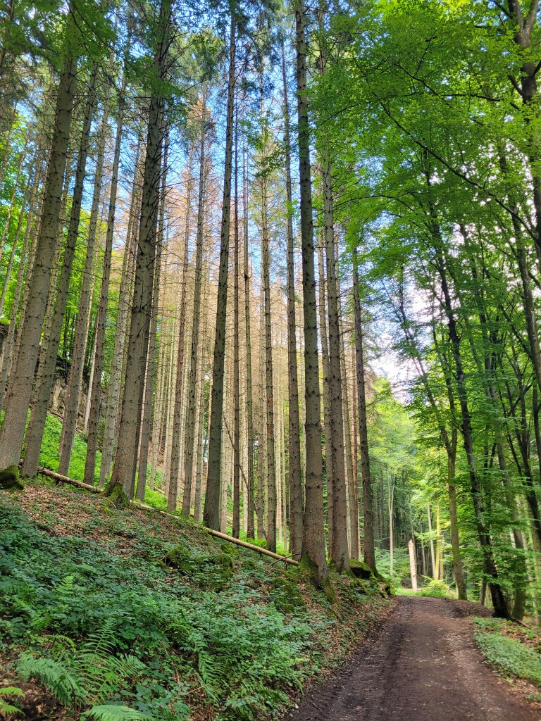
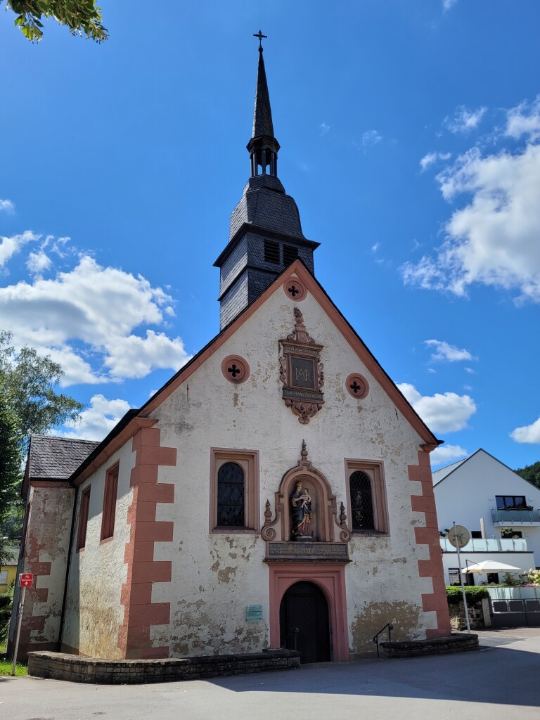
#5. Hernborn - Echternach · Mullerthal Trail etappe 4
Echternach,Bech,Rosport-Mompach
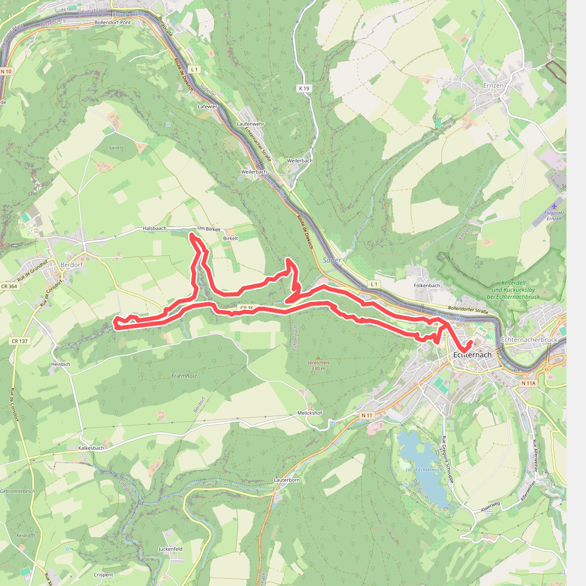
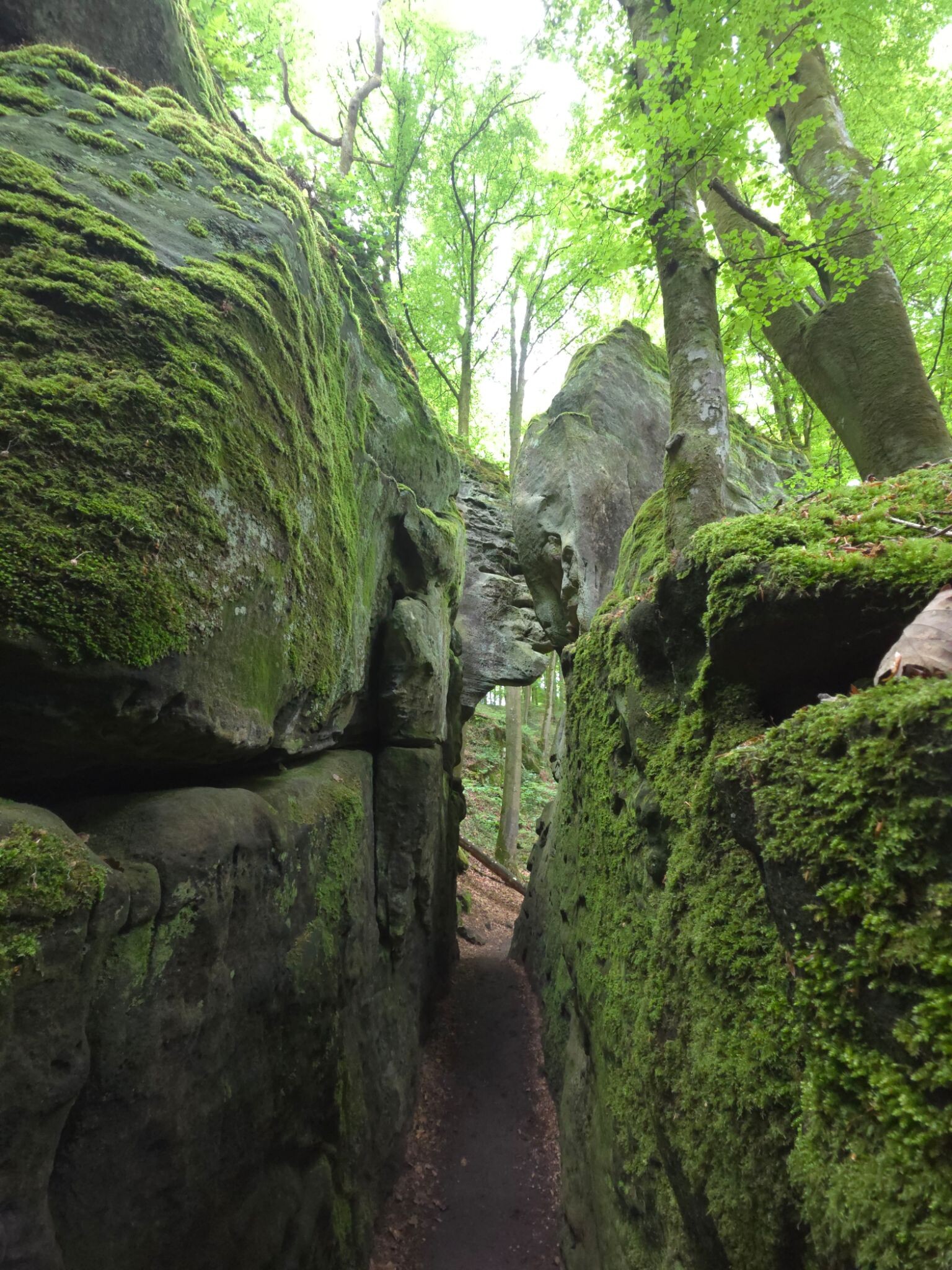
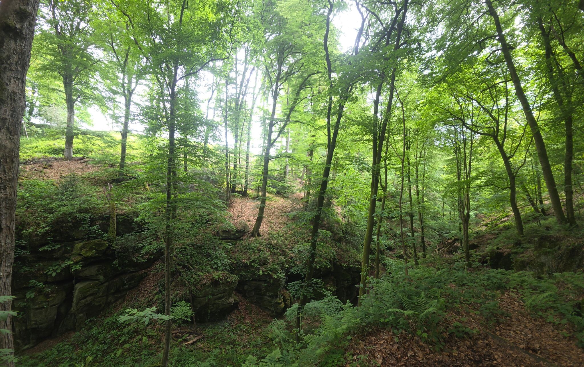
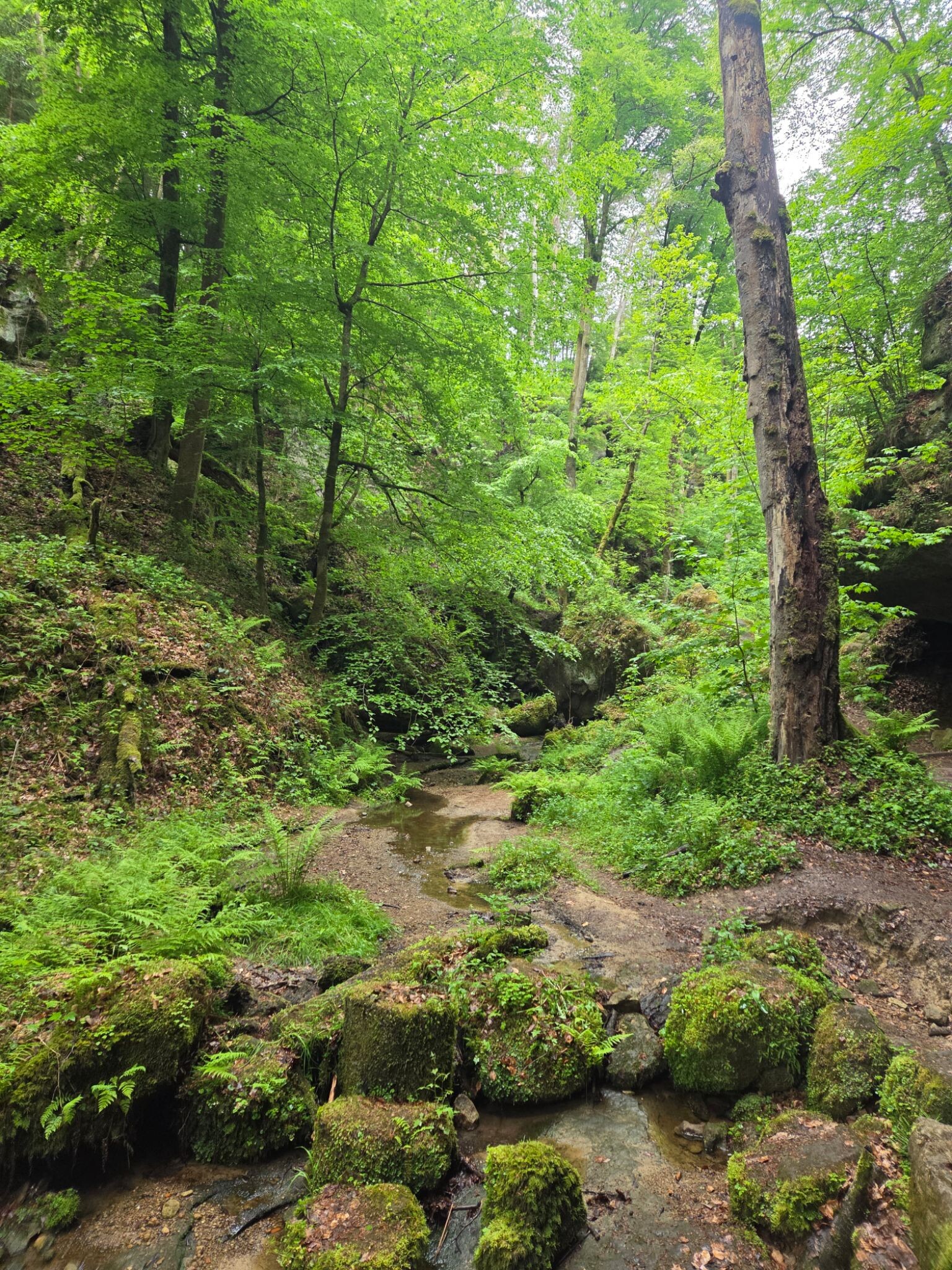
#6. Mullerthal E1
Echternach,Berdorf
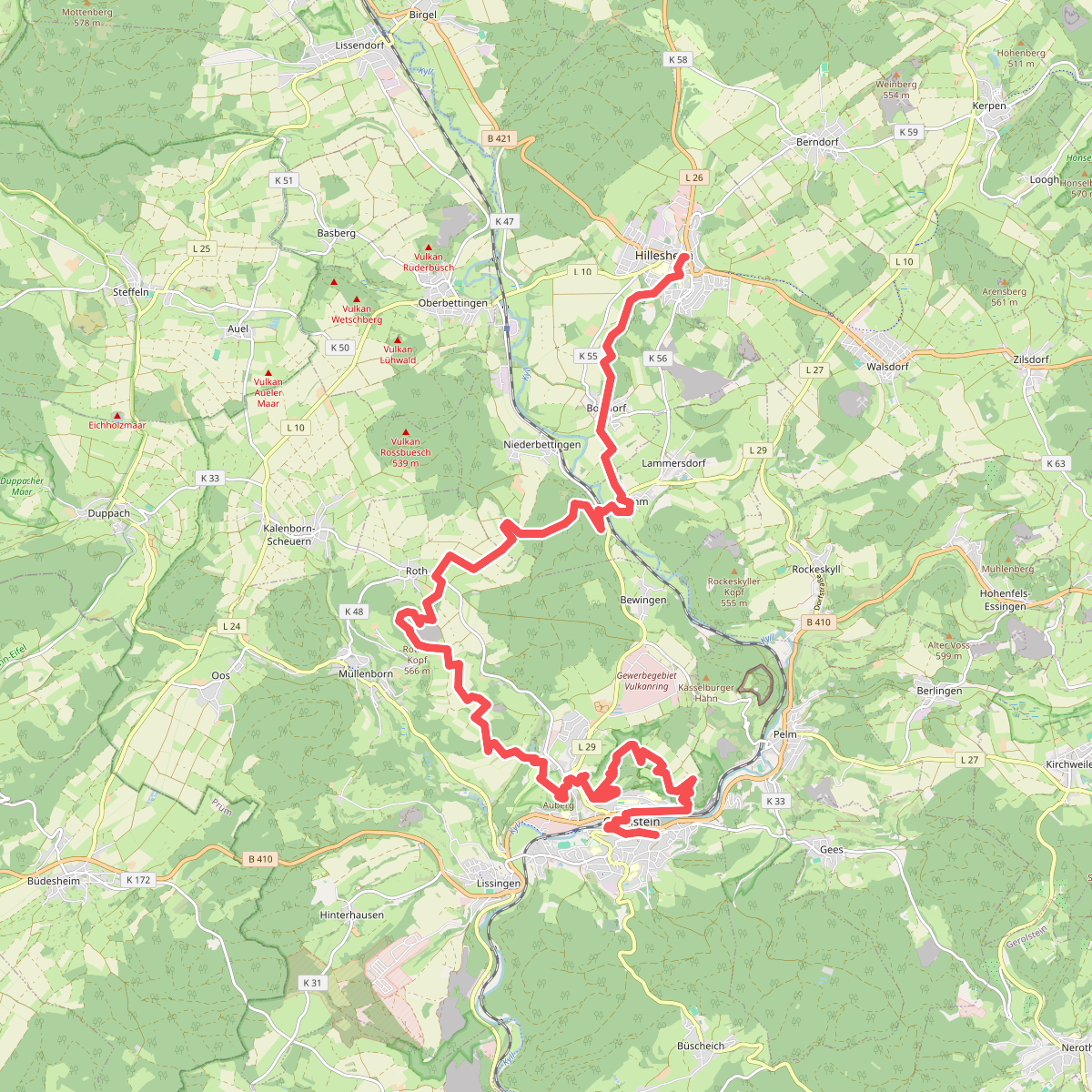
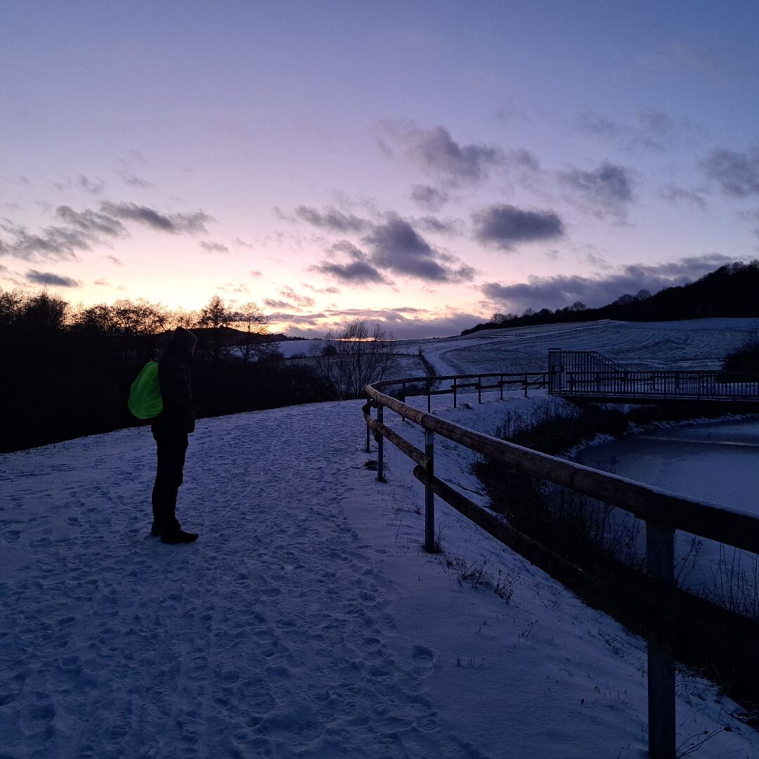
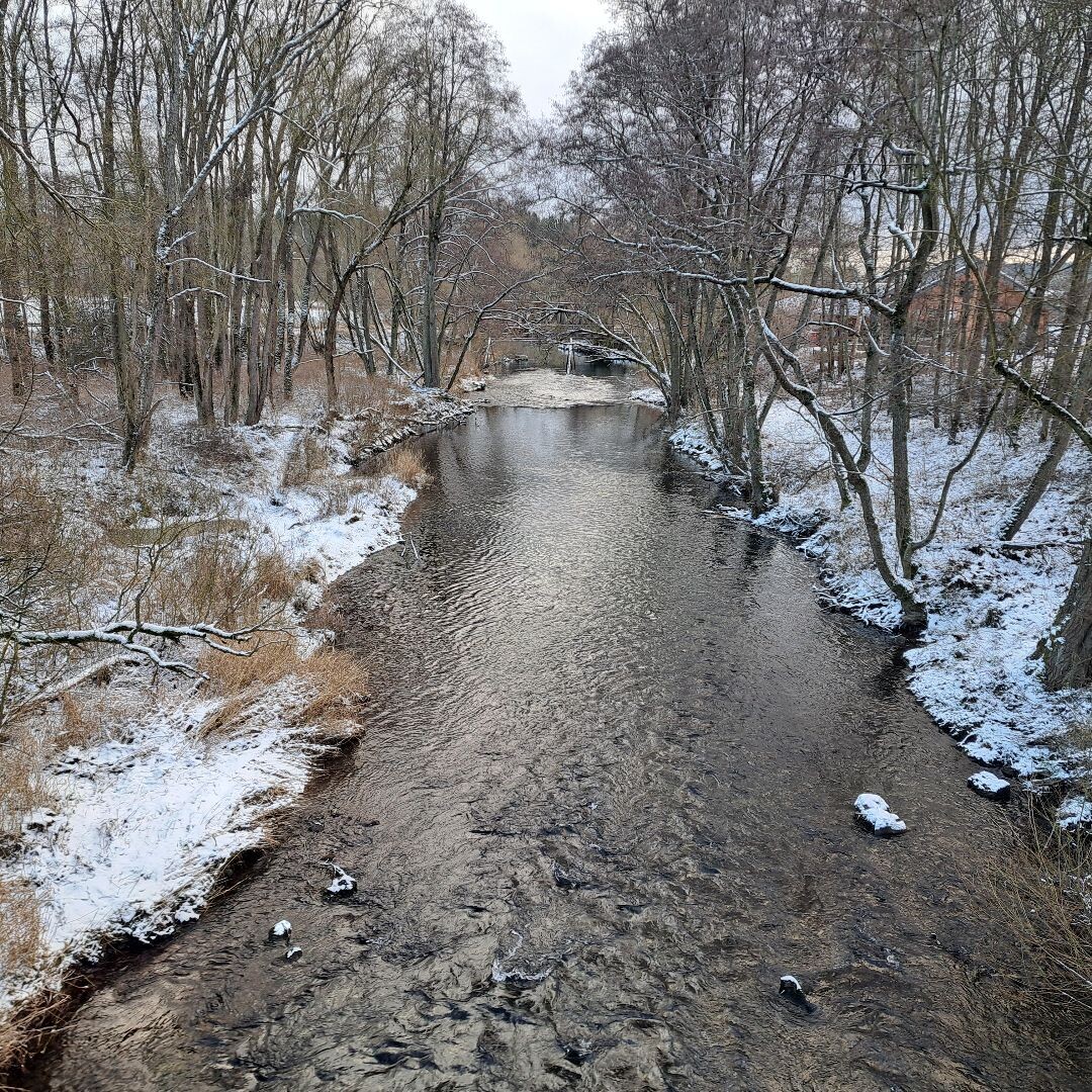
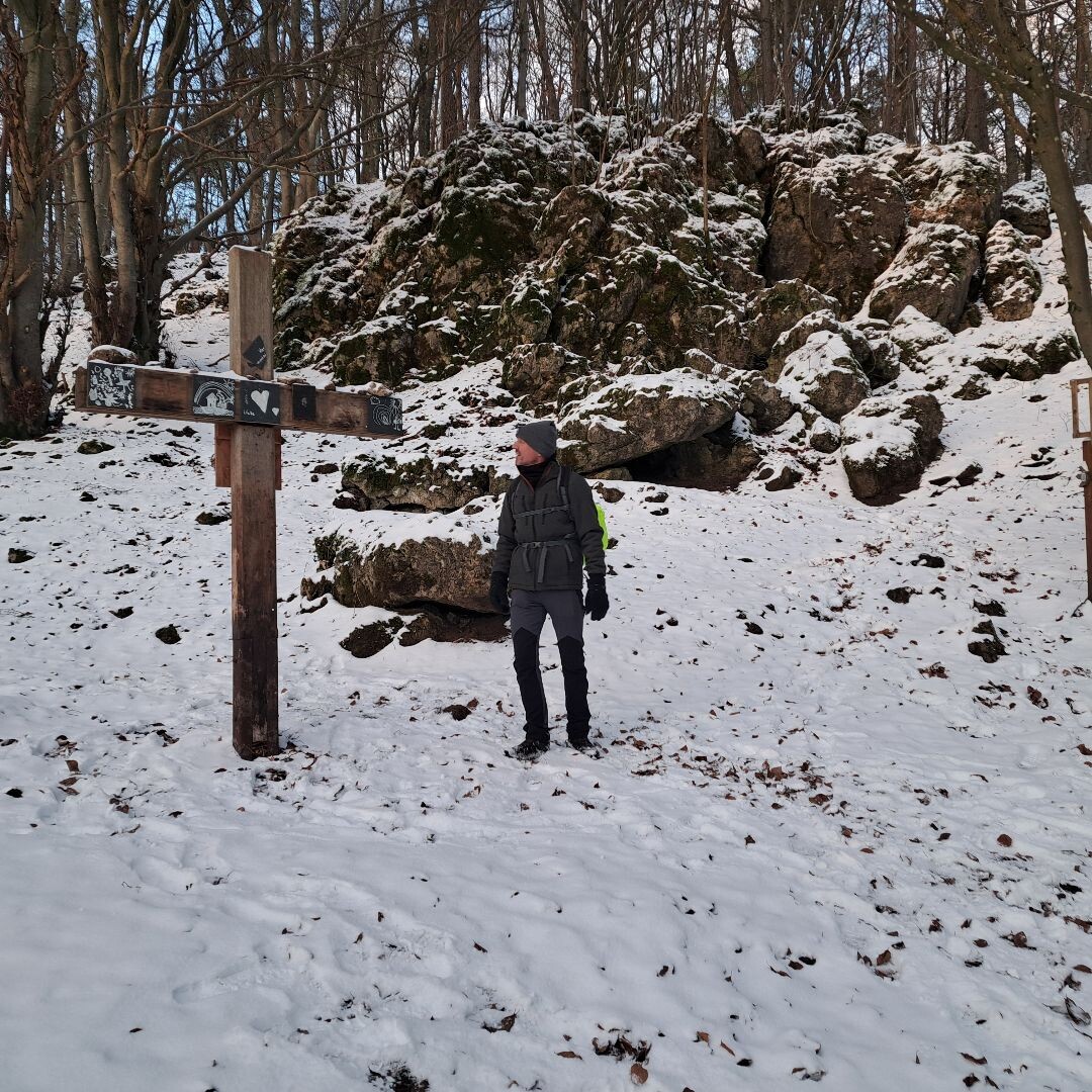
#7. Hillesheim - Gerolstein · Eifelsteig etappe 9
Hillesheim,Gerolstein
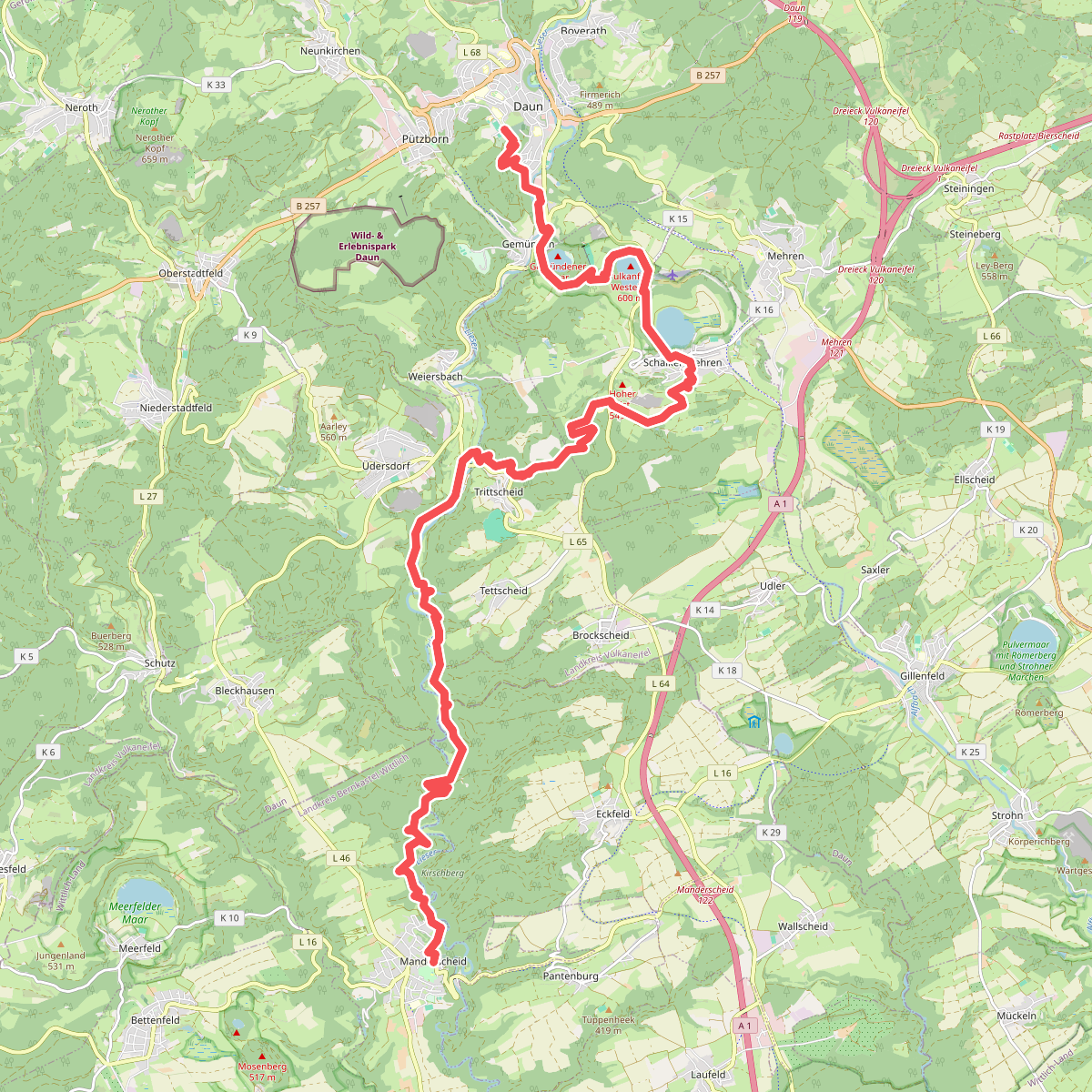
#8. Daun - Manderscheid · Eifelsteig etappe 11
Daun,Schalkenmehren,Üdersdorf,Brockscheid,Eckfeld,Manderscheid
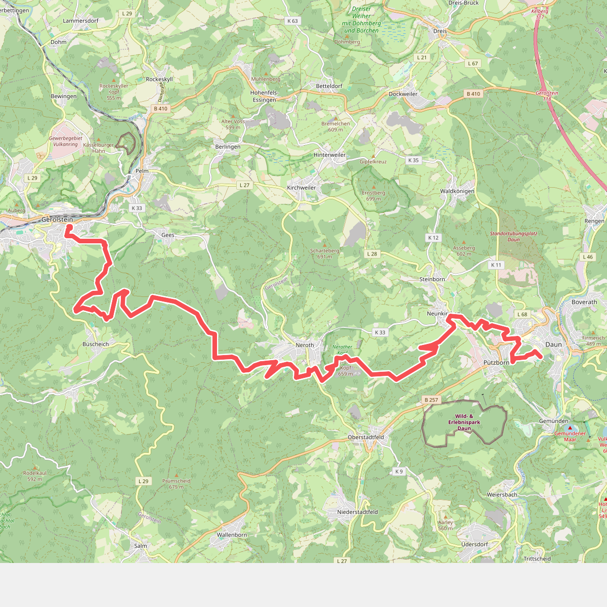
#9. Gerolstein - Daun · Eifelsteig etappe 10
Gerolstein,Pelm,Neroth,Oberstadtfeld,Daun
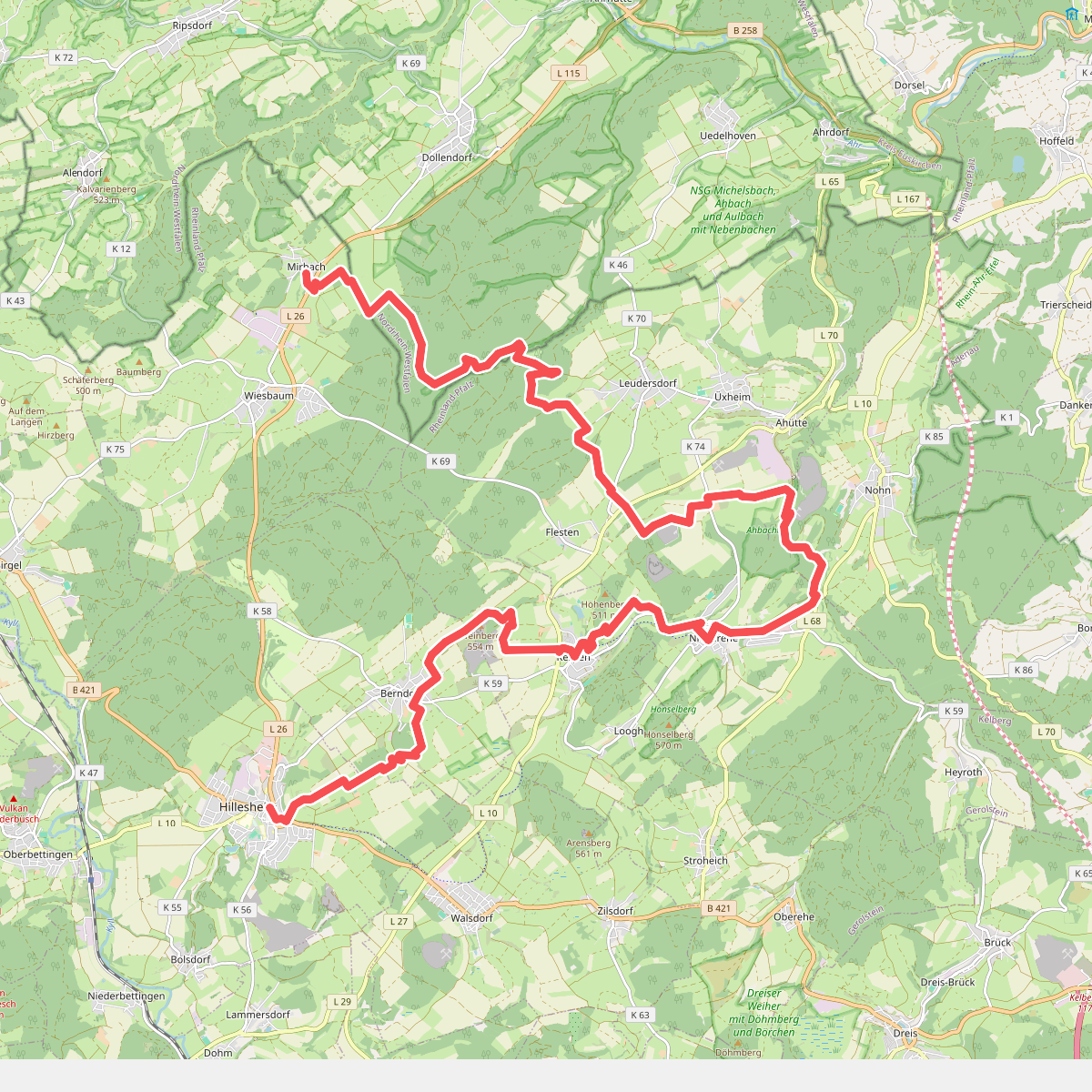
#10. Mirbach - Hillesheim · Eifelsteig etappe 8
Wiesbaum,Blankenheim,Üxheim,Nohn,Kerpen (Eifel),Berndorf,Hillesheim
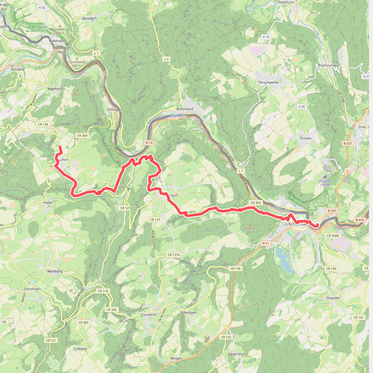
#11. Beaufort - Echternach · GR5 etappe 27
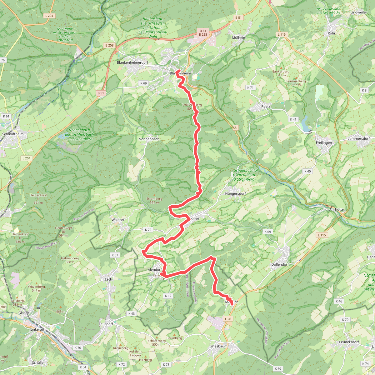
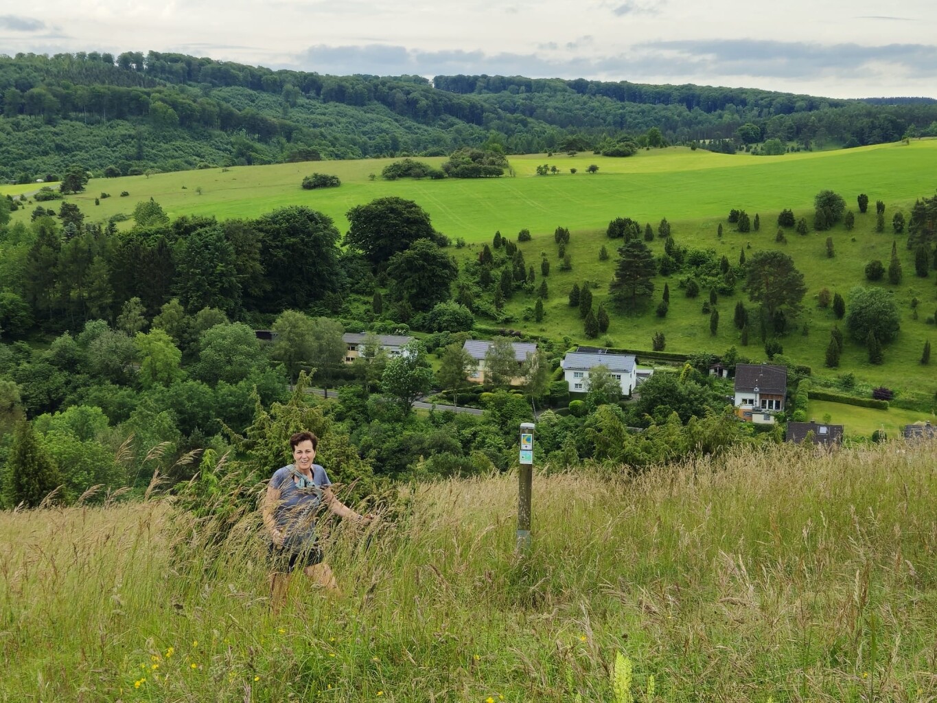
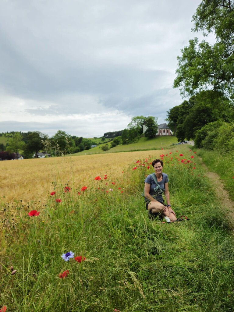
#12. Blankenheim - Mirbach · Eifelsteig etappe 7
Blankenheim,Wiesbaum



