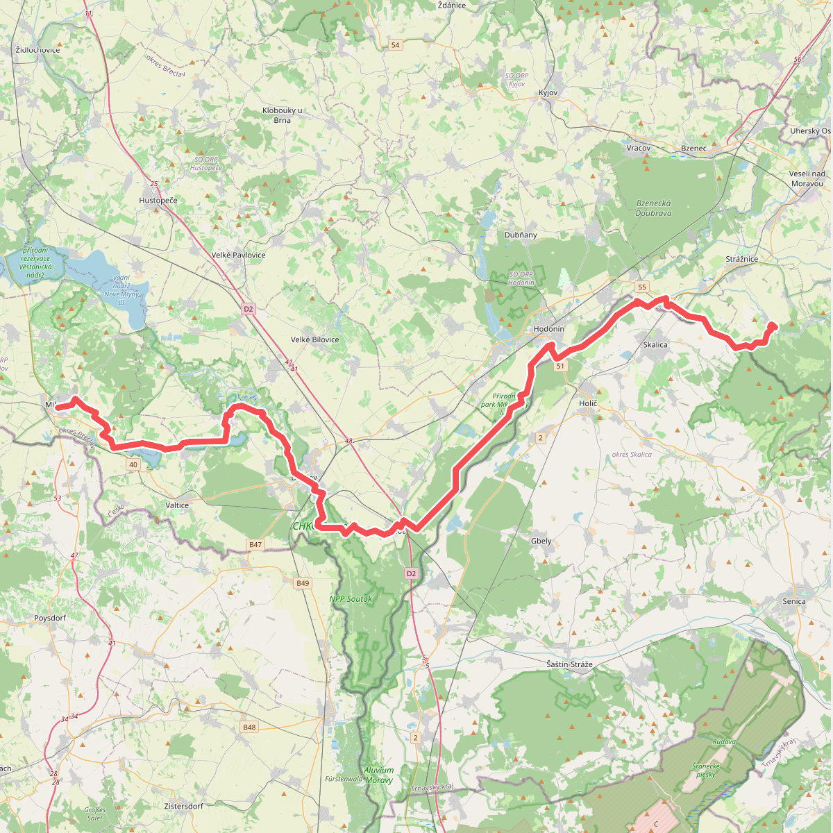
The best hiking routes in Region of Trnava
Discover the best walks in Region of Trnava. 4 routes on the map, with descriptions, photos and GPX.
About Region of Trnava
The Region of Trnava offers a distinct split between low-lying river plains and forested hills. In the south, Chránená krajinná oblasť Dunajské luhy protects a flat landscape of Danube wetlands, where the paths are mostly level dirt tracks running alongside side channels and gravel banks. In contrast, the northern and western sections rise into the low, wooded ridges of Chránená krajinná oblasť Malé Karpaty and Brezovské Karpaty. These hilly areas feature limestone outcrops and beech forests, where the underfoot changes to rocky, root-strewn soil.
Read more
About Region of Trnava
The Region of Trnava offers a distinct split between low-lying river plains and forested hills. In the south, Chránená krajinná oblasť Dunajské luhy protects a flat landscape of Danube wetlands, where the paths are mostly level dirt tracks running alongside side channels and gravel banks. In contrast, the northern and western sections rise into the low, wooded ridges of Chránená krajinná oblasť Malé Karpaty and Brezovské Karpaty. These hilly areas feature limestone outcrops and beech forests, where the underfoot changes to rocky, root-strewn soil.
Read moreThe Region of Trnava offers a distinct split between low-lying river plains and forested hills. In the south, Chránená krajinná oblasť Dunajské luhy protects a flat landscape of Danube wetlands, where the paths are mostly level dirt tracks running alongside side channels and gravel banks. In contrast, the northern and western sections rise into the low, wooded ridges of Chránená krajinná oblasť Malé Karpaty and Brezovské Karpaty. These hilly areas feature limestone outcrops and beech forests, where the underfoot changes to rocky, root-strewn soil.
Walking here does not offer high alpine peaks or deep, dramatic gorges. Instead, the terrain consists of gently rolling ridges and wide alluvial plains. In Chránená krajinná oblasť Záhorie, the ground turns to soft sand pine forests, a stark contrast to the heavy clay soils found near the southern rivers. You will notice how the vegetation adapts quickly to these soil changes, shifting from dense floodplain forests to dry pine stands within a short distance.
For a quieter walk, the smaller protected pockets like Tematínske vrchy provide steep, scrubby limestone slopes that are less frequented than the main trails of the Malé Karpaty. In October, the beech forests in these upland areas turn a deep orange, making it the best time to observe the transition from the agricultural plains to the forested hills.
Nature areas in Region of Trnava
Zoom or pan for more routes
Hiking routes in Region of Trnava (4)
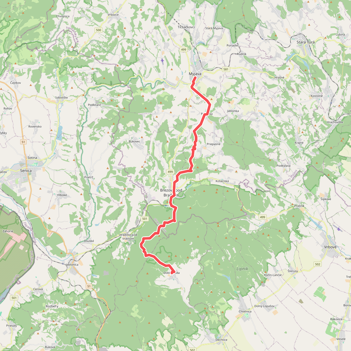
#1. Dobra Vada - Myjava
okres Trnava,okres Senica,Brezová pod Bradlom,okres Myjava,Myjava
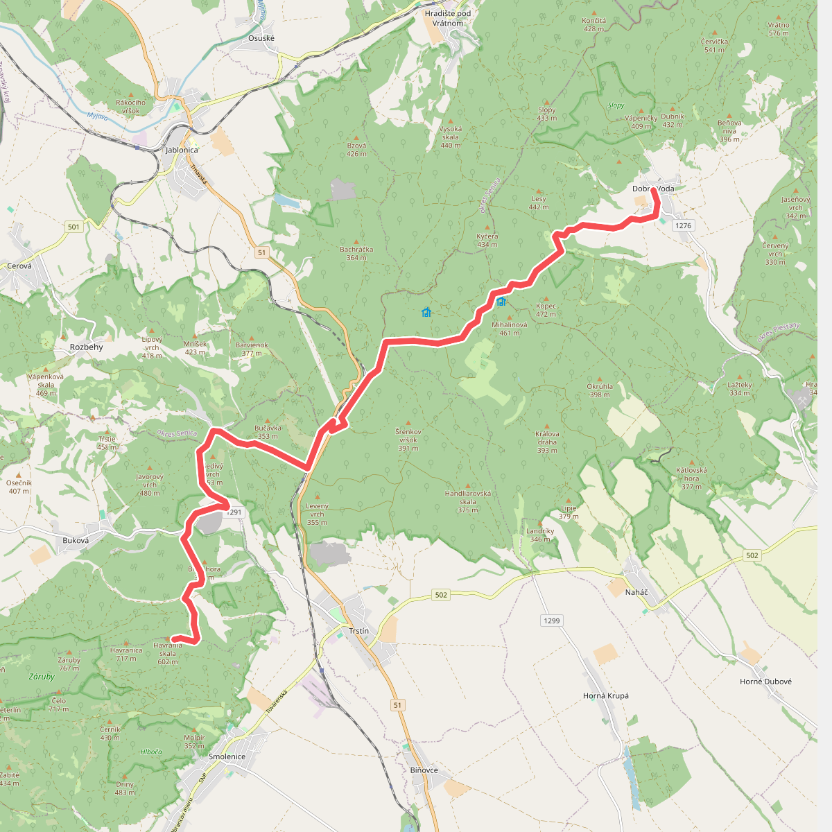
#2. Havrania skala - Dobra Voda
okres Trnava,okres Senica
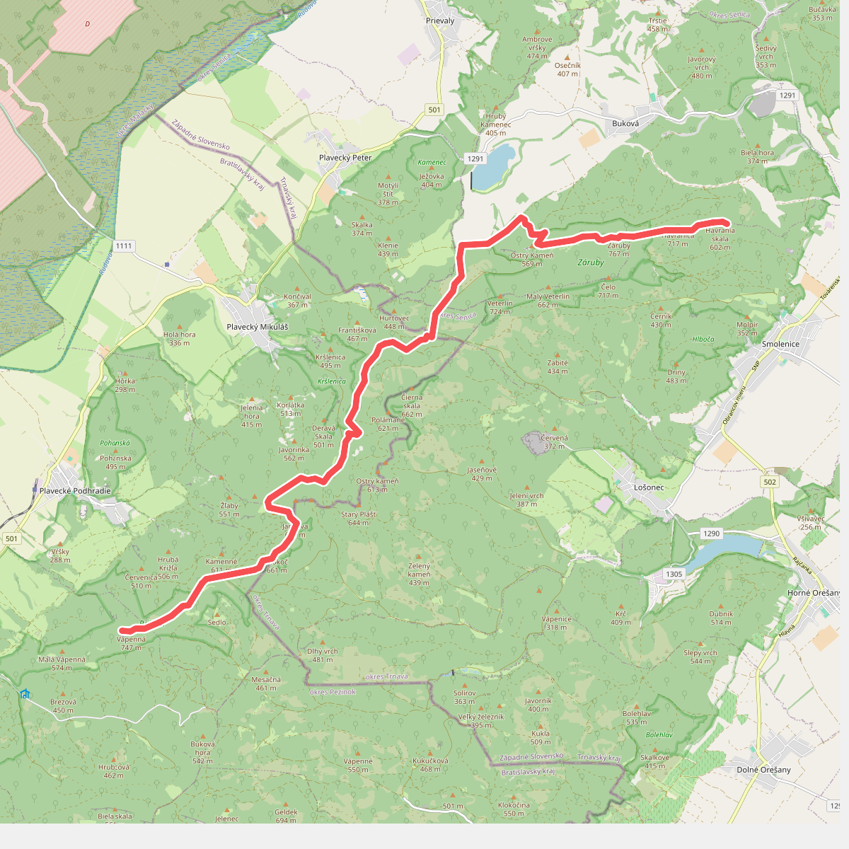
#3. Vapenna - Havrania skala
okres Malacky,okres Trnava