The best hiking routes in Portalegre
Discover the best walks in Portalegre. 23 routes on the map, with descriptions, photos and GPX.
About Portalegre
Portalegre sits at a transition point where the flat Alentejo plains meet the sudden, rocky elevations of the Serra de So Mamede. For walkers, this means choosing between two distinct landscapes. To the north and east, the Parque Natural da Serra de So Mamede offers steep, quartzite ridges and oak forests, where the paths are often stony and uneven. To the south and west, areas like Caia present a much flatter terrain of open cork oak pastures and agricultural fields, where the walking is on wide, dirt farm tracks.
Read more
About Portalegre
Portalegre sits at a transition point where the flat Alentejo plains meet the sudden, rocky elevations of the Serra de So Mamede. For walkers, this means choosing between two distinct landscapes. To the north and east, the Parque Natural da Serra de So Mamede offers steep, quartzite ridges and oak forests, where the paths are often stony and uneven. To the south and west, areas like Caia present a much flatter terrain of open cork oak pastures and agricultural fields, where the walking is on wide, dirt farm tracks.
Read morePortalegre sits at a transition point where the flat Alentejo plains meet the sudden, rocky elevations of the Serra de So Mamede. For walkers, this means choosing between two distinct landscapes. To the north and east, the Parque Natural da Serra de So Mamede offers steep, quartzite ridges and oak forests, where the paths are often stony and uneven. To the south and west, areas like Caia present a much flatter terrain of open cork oak pastures and agricultural fields, where the walking is on wide, dirt farm tracks.
The geology of the region dictates what you see underfoot. In the Parque Natural da Serra de So Mamede, the high altitude creates a microclimate where chestnut trees and Pyrenean oaks thrive, a stark contrast to the olive groves lower down. You will notice ancient stone walls bordering the paths, built from the local granite and schist cleared from the fields. In lower areas like Caia, the landscape is shaped by reservoir waters and open grazing land, meaning fewer steep climbs but less shade.
This is not a region of high alpine peaks or deep canyons, but rather one of rugged, medium-altitude hills and rolling plains. In May, the lower pastures around Caia are filled with wildflowers before the summer heat dries the grasses. The trails in the higher Serra de So Mamede can be demanding due to loose stones and steep gradients, whereas the southern plains offer straightforward, level walking.
Nature areas in Portalegre
Zoom or pan for more routes
Hiking routes in Portalegre (23)
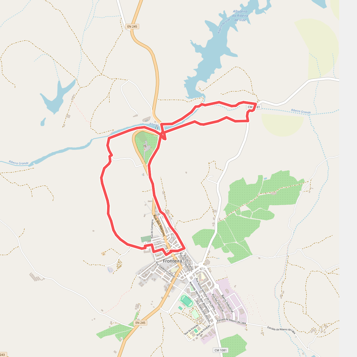
#1. A Descoberta da Ribeira Grande
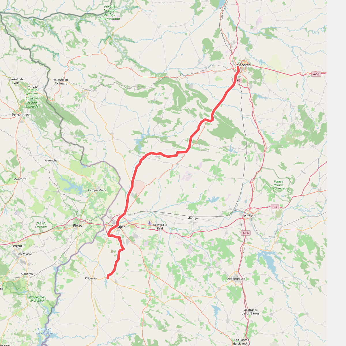
#2. Camino Natural Corredor Cáceres-Badajoz. Ruta Cáceres-Badajoz-Embalse de Piedra Aguda
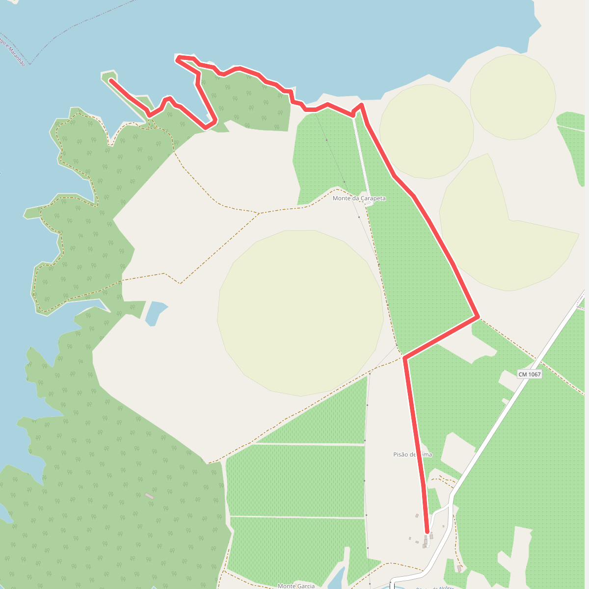
#3. Espelho de Água do Maranhão de Avis
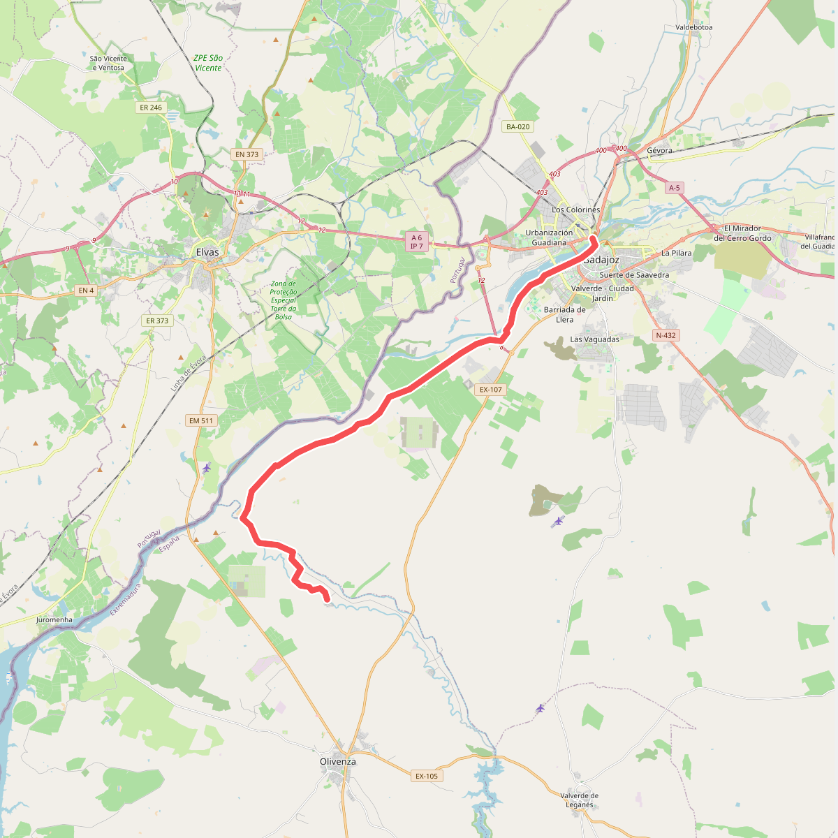
#4. Etapa 36: Badajoz - San Francisco de Olivenza
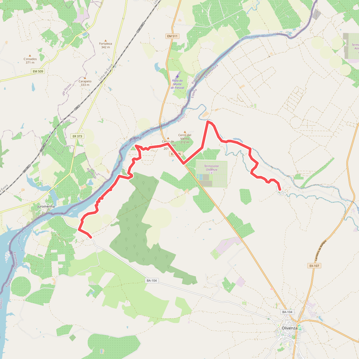
#5. Etapa 37: San Francisco de Olivenza - Villarreal
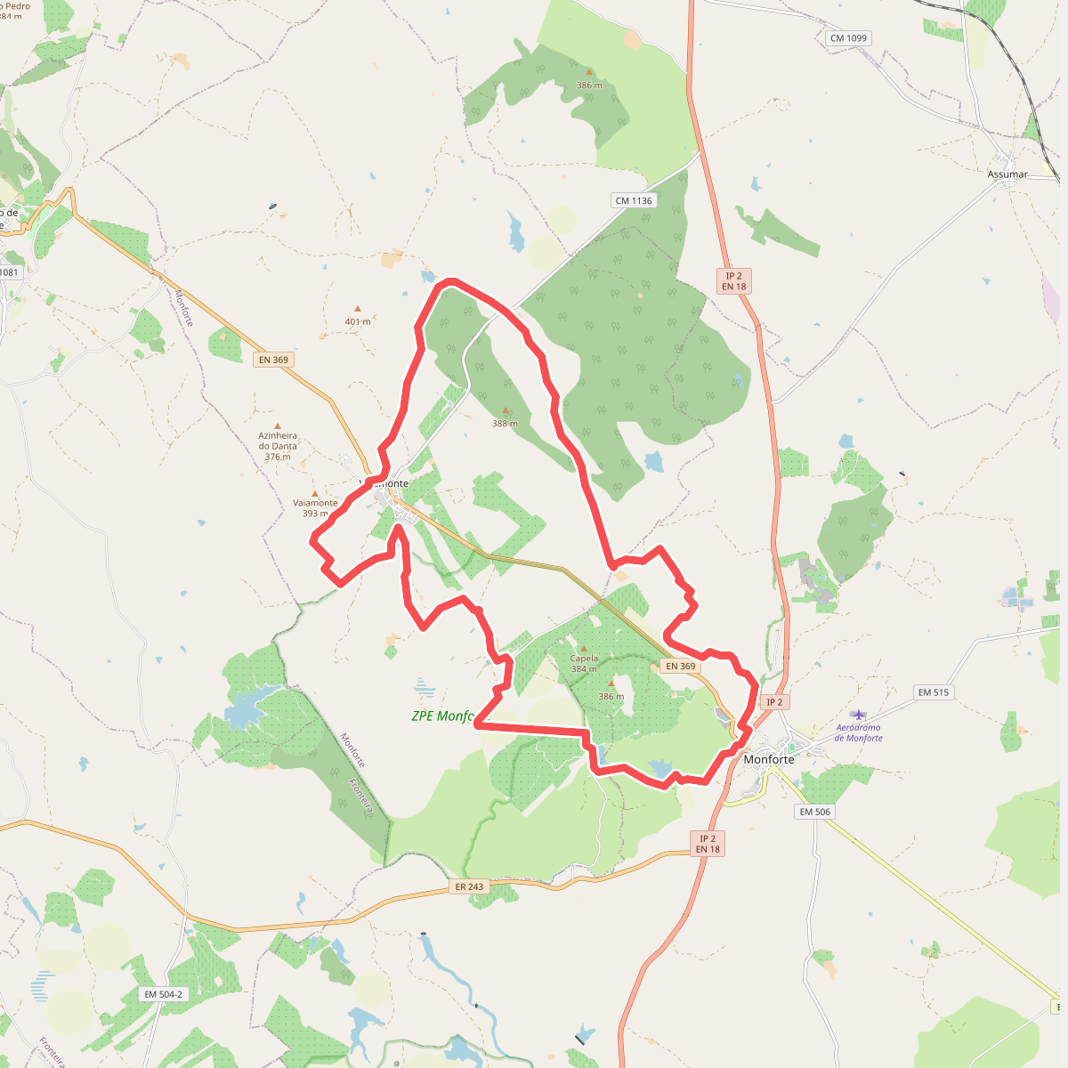
#6. GR42-MFT Grande Rota dos Montes de Monforte
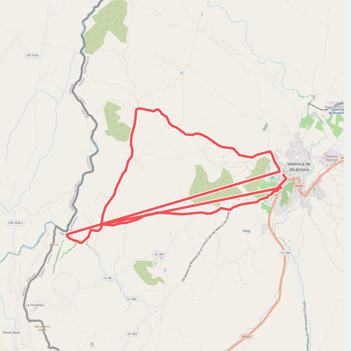
#7. Molino de La Negra
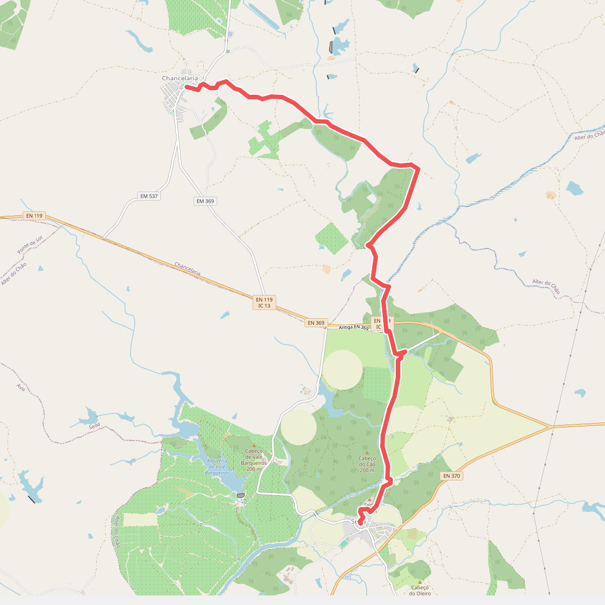
#8. Olhar Sobre a Ribeira de Seda
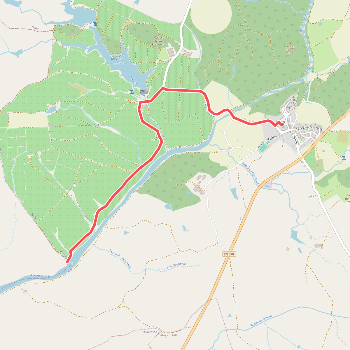
#9. Olhar Sobre a Ribeira de Seda - Variante
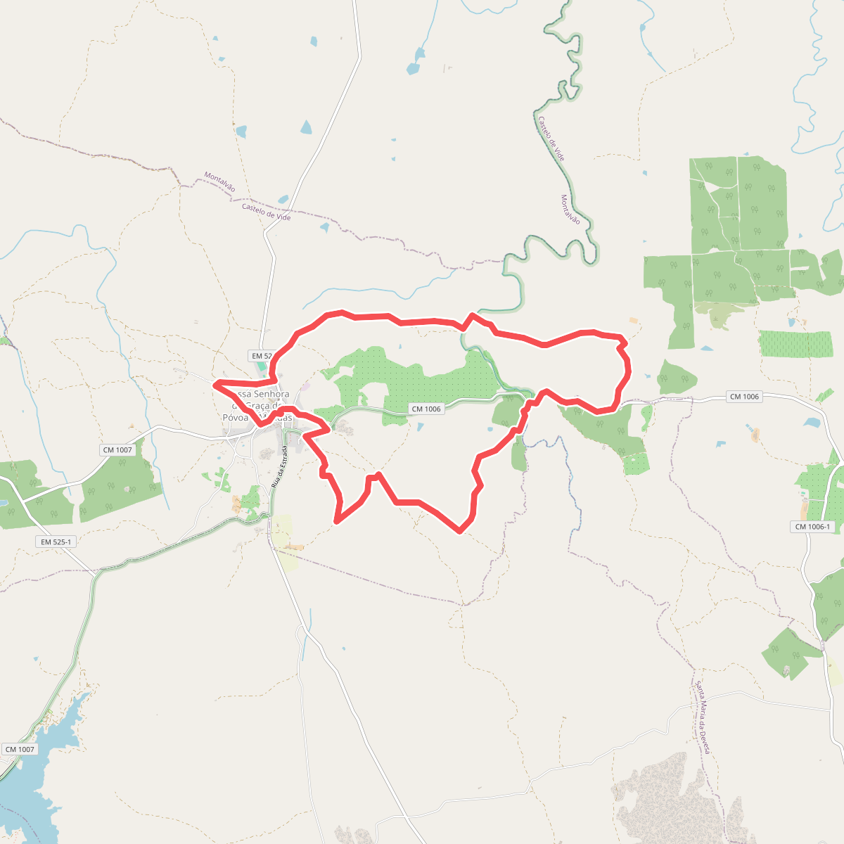
#10. Paisagens Fantásticas de Póvoa e Meadas
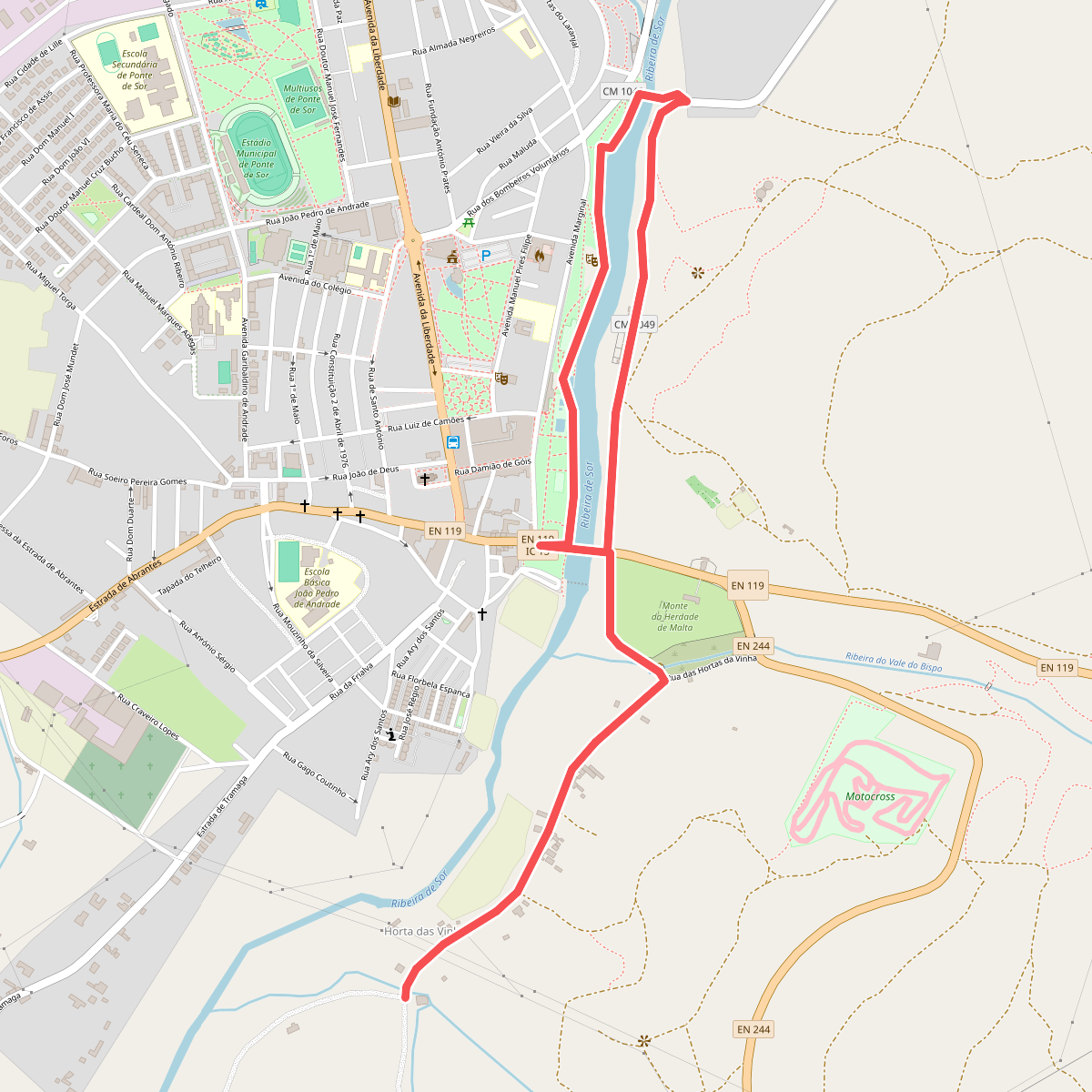
#11. Percurso da Ribeira de Sor